 Block
From the record
9 National Register listings published here.
Sources: the National Register database, National Park Service
65 topographic sheets and 14 fire insurance atlases across 2 places.
9 National Register listings published here.
Sources: the National Register database, National Park Service
Every property in this county listed on the National Register of Historic Places, with the year it was listed and the federal nomination document.
| Photograph | Property | Type | Listed | Reference |
|---|---|---|---|---|
| Albion State Bank | building | 1979 | 79002024 | |
 | Antlers Frisco Depot and Antlers Spring | building | 1980 | 80003298 |
| James Martin Baggs Log Barn | building | 2015 | 15000579 | |
 | Clayton High School-Auditorium | building | 1988 | 88001418 |
| Fewell School | building | 1988 | 88001419 | |
| Frisco Railroad Depot | building | 2024 | 100010524 | |
| Mato Kosyk House | building | 1979 | 79002025 | |
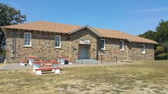 | Snow School | building | 1988 | 88001420 |
 | Tuskahoma | building | 1970 | 70000537 |
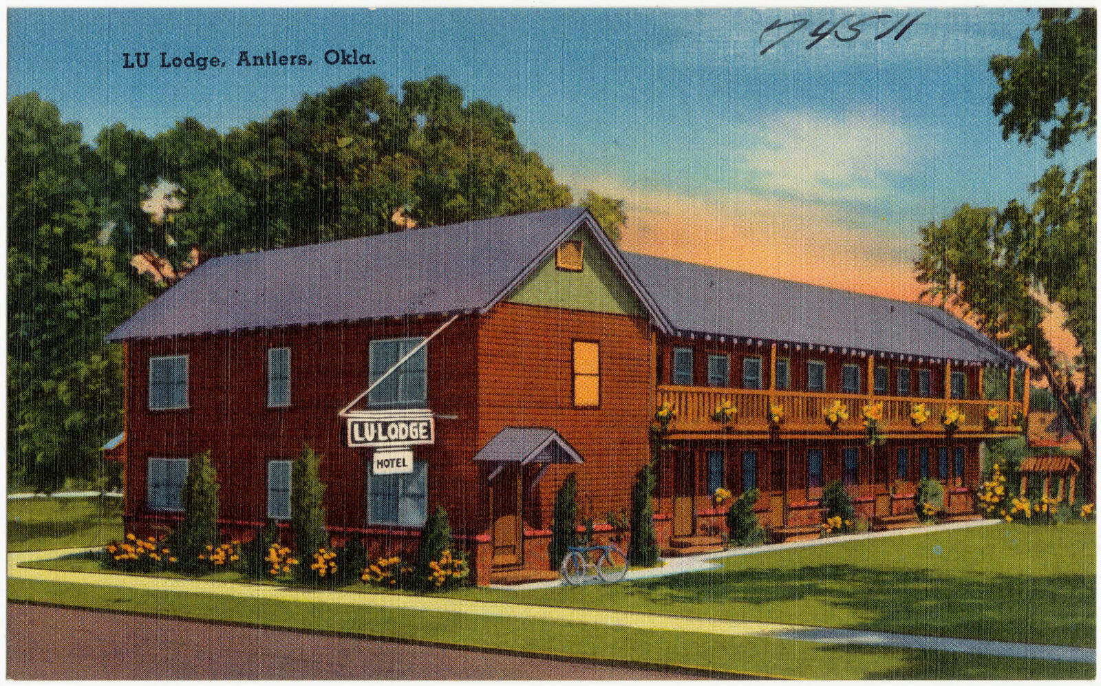
Selected from the Digital Public Library of America's 1 image records catalogued for this county. Every one shown here carries a public-domain status or a licence that permits reuse on a site that carries advertising; non-commercial, share-alike and restricted images are excluded. The selection is spread across the county's towns (at most eight per town), so no single institution's bulk upload crowds out the rest. Each opens the holding library's record, and the complete set at the Digital Public Library of America is one click away.
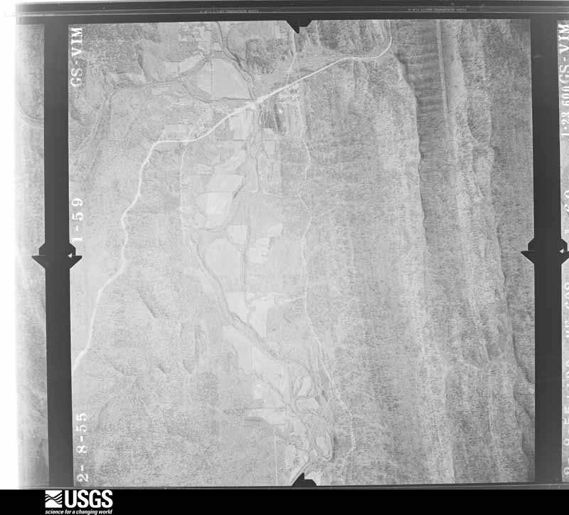
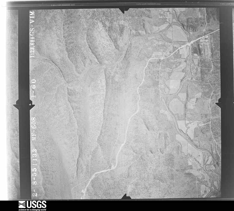
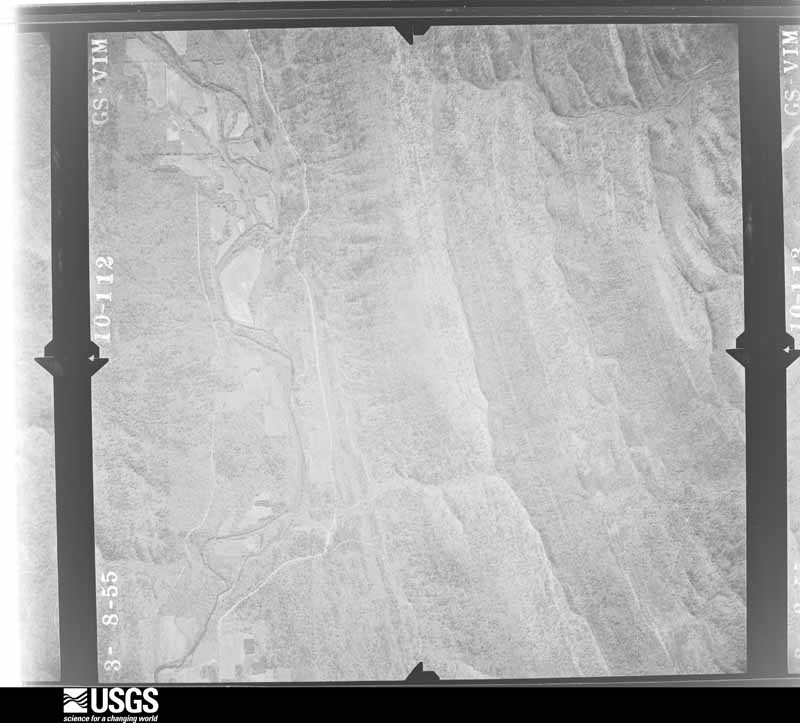
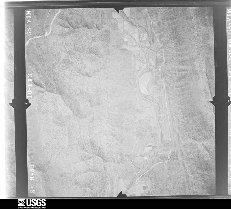
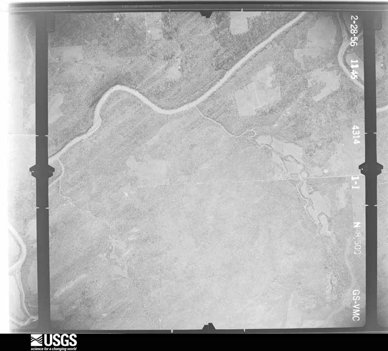
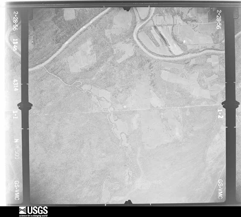
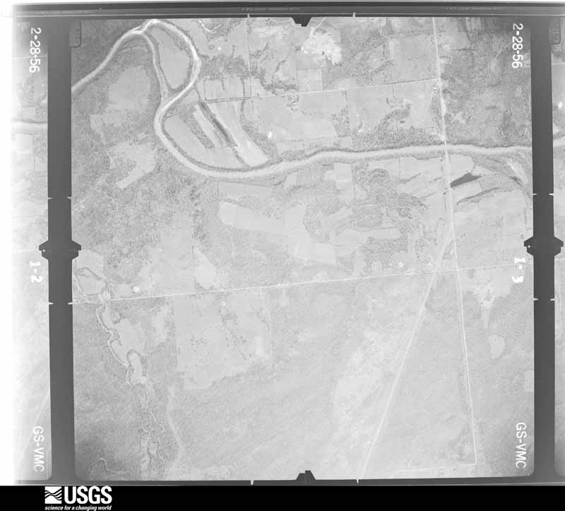
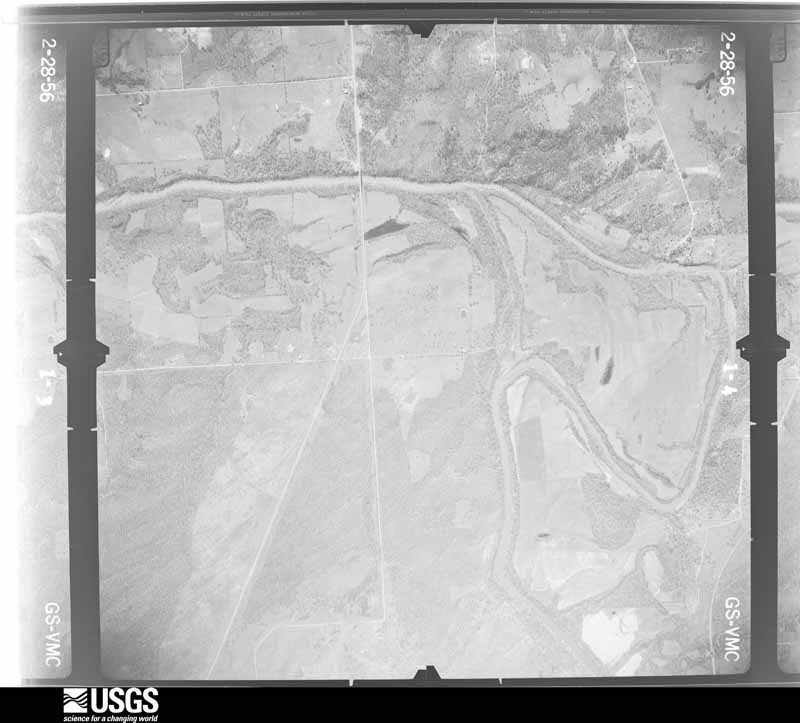
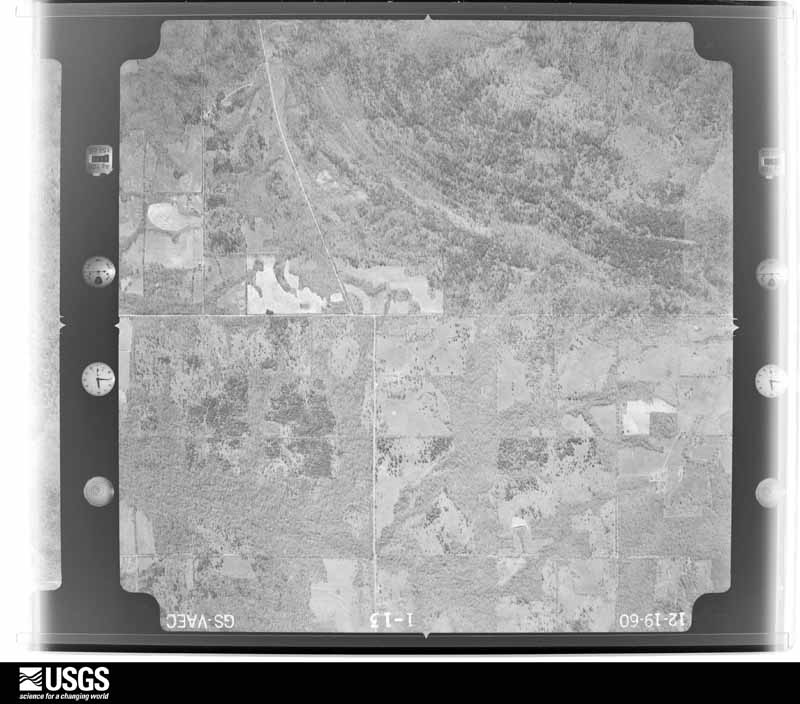
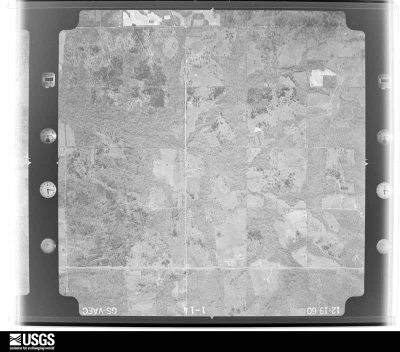
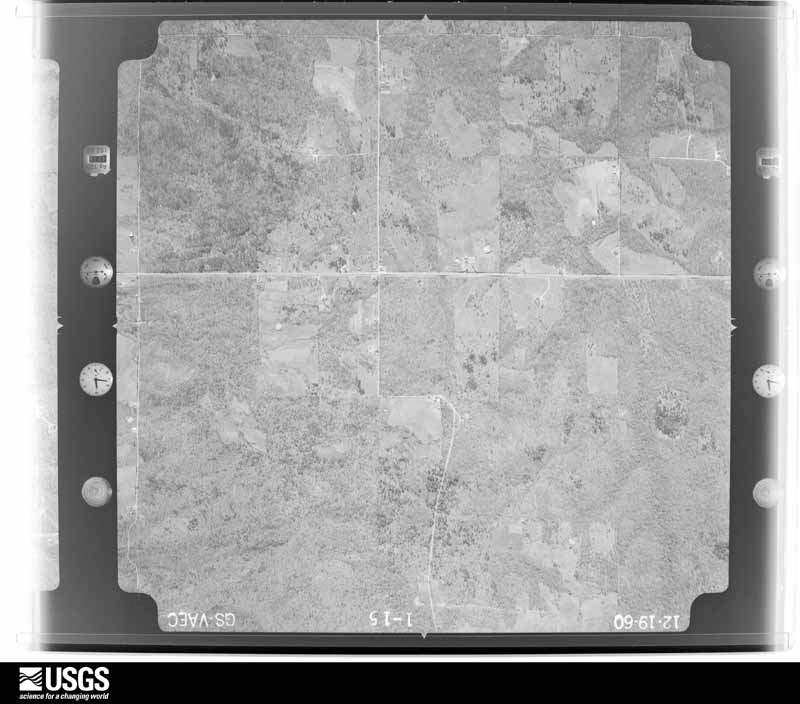
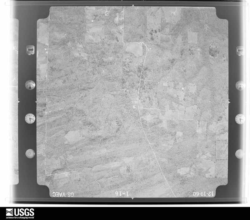
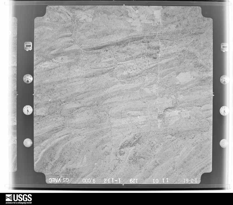
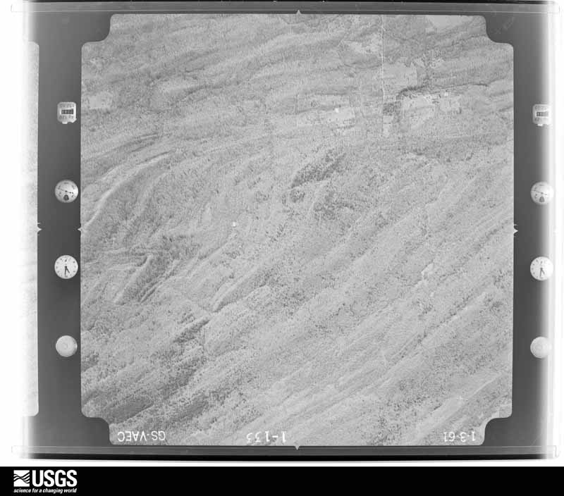
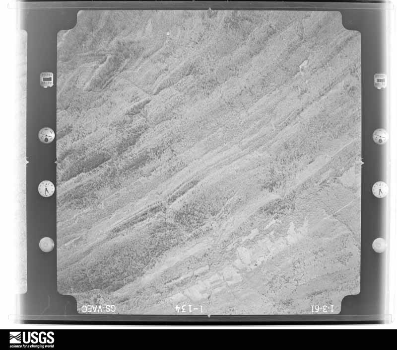
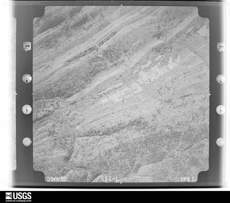
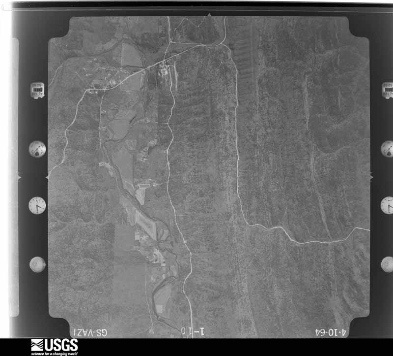
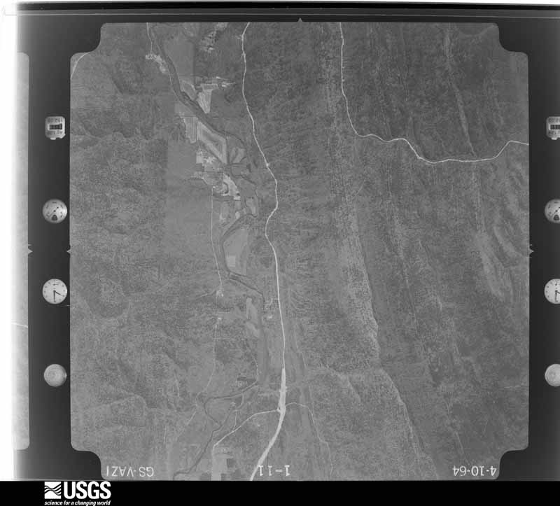
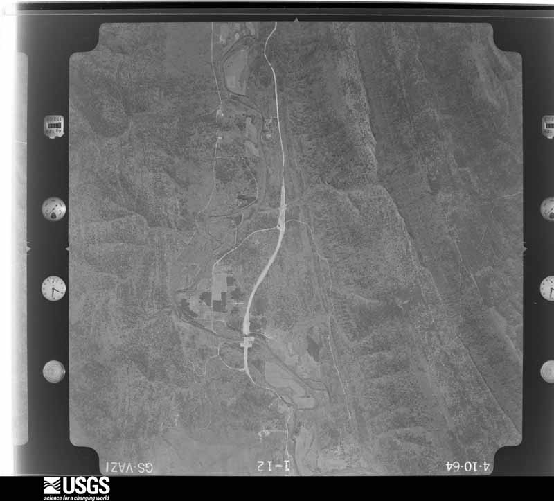
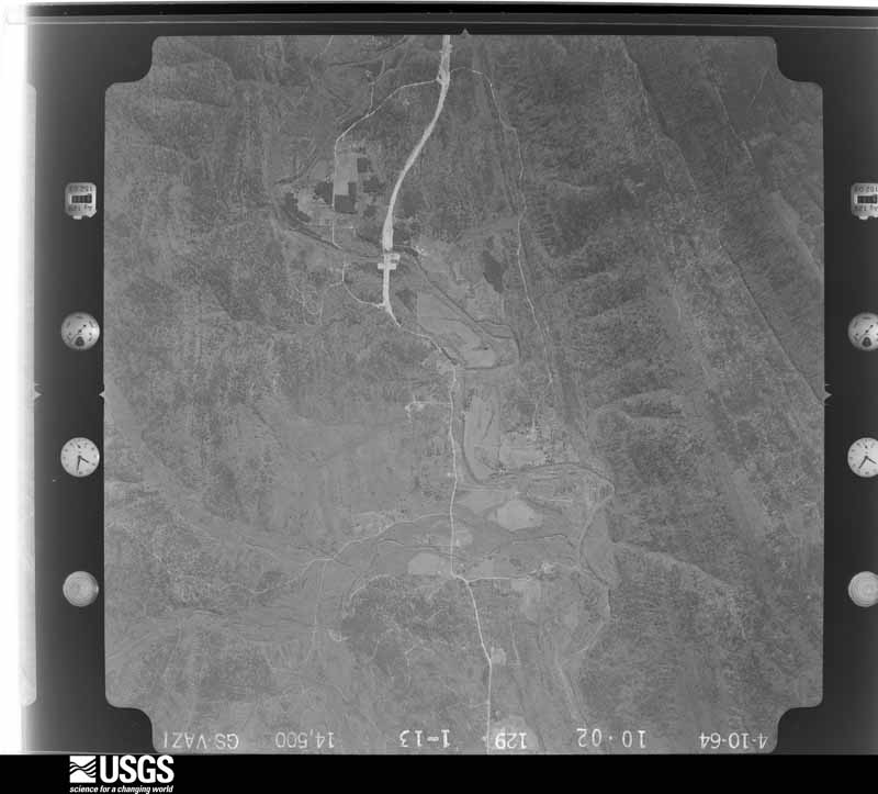
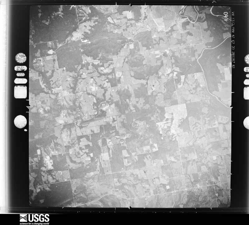
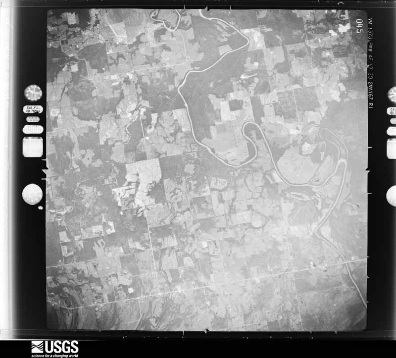
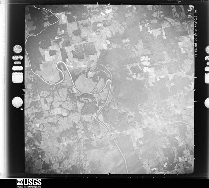
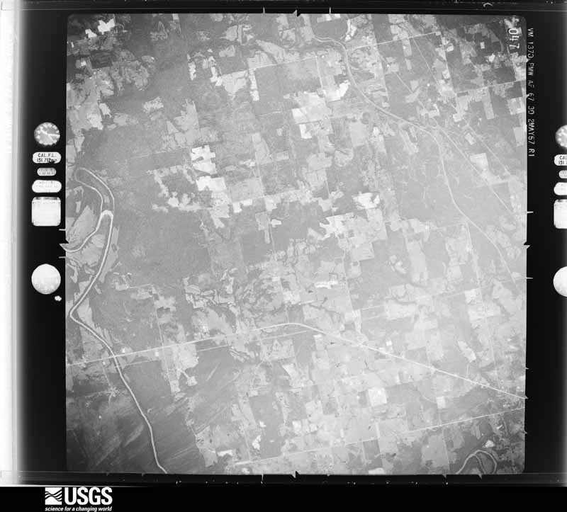
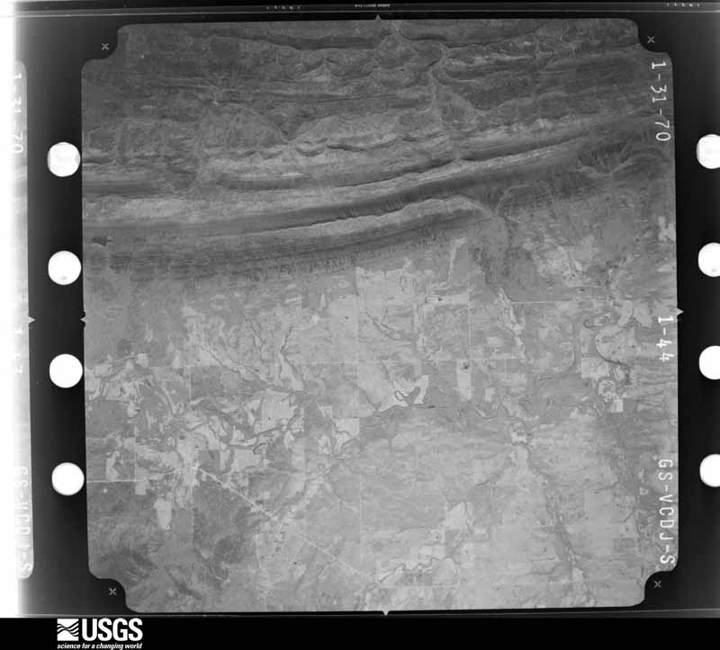
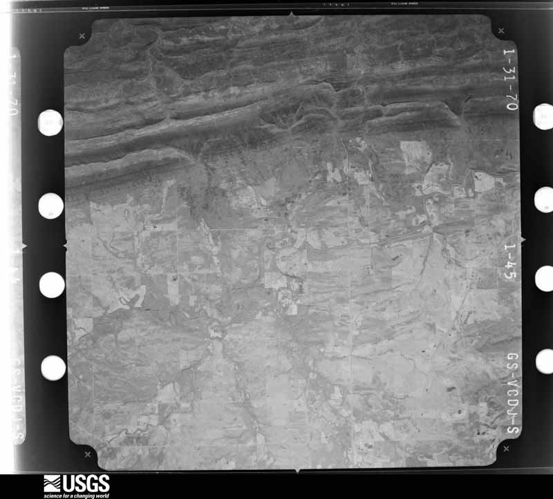
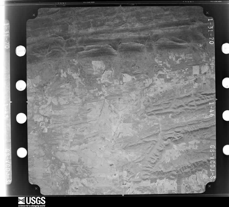
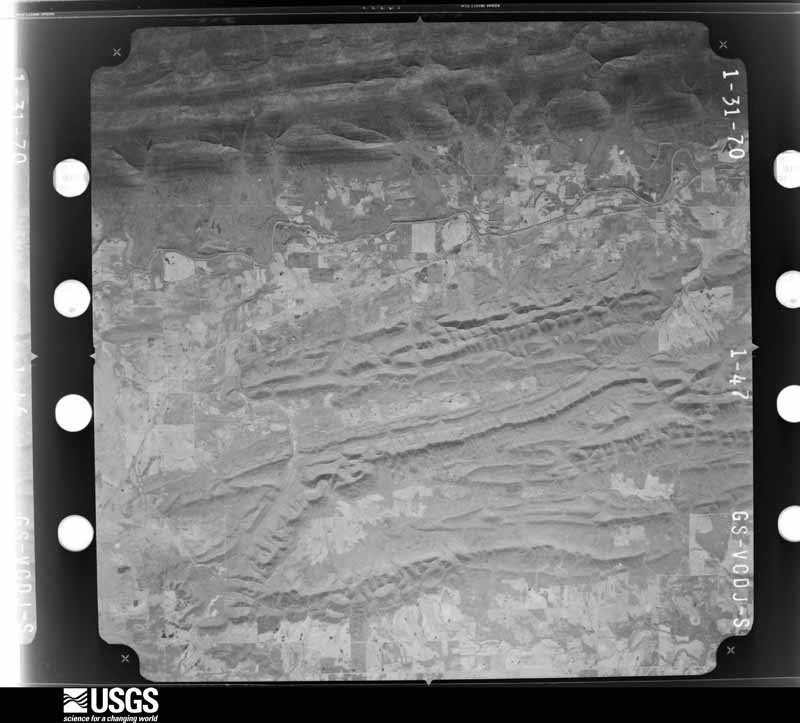
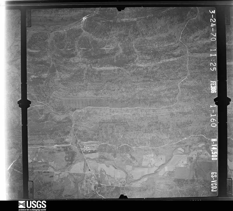
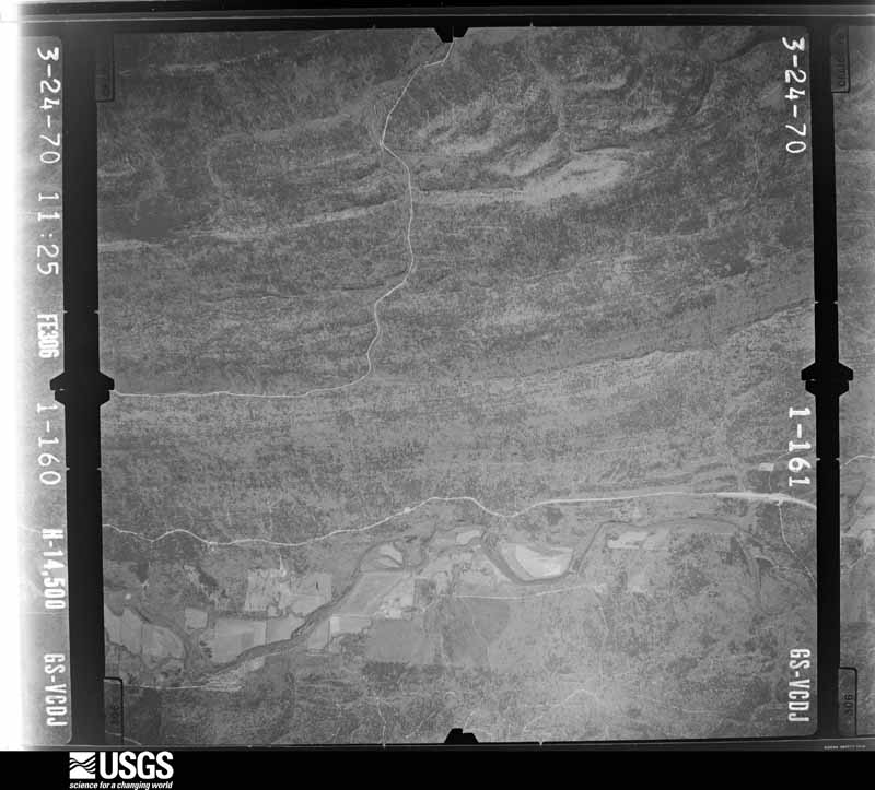
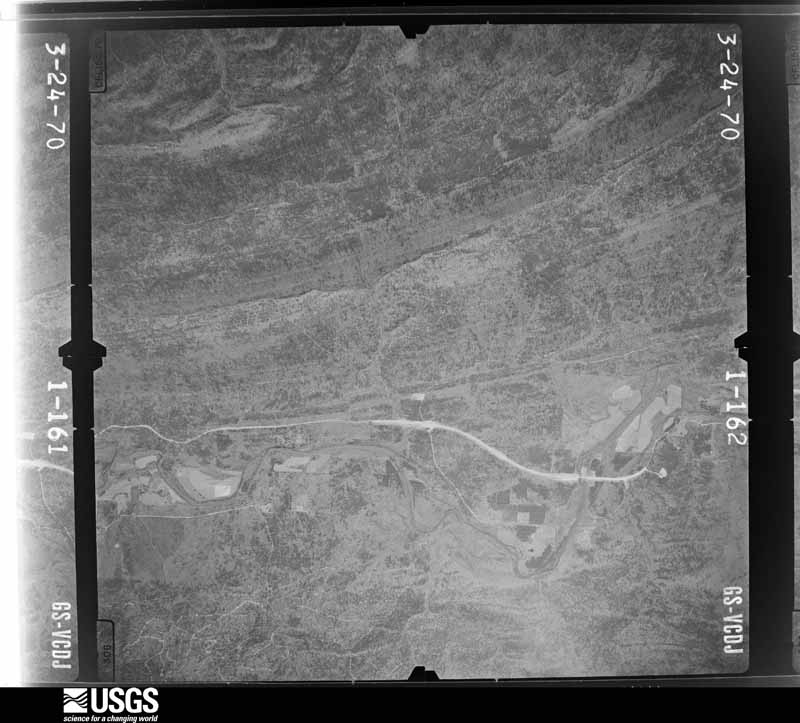
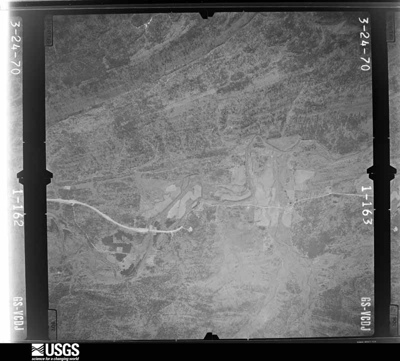
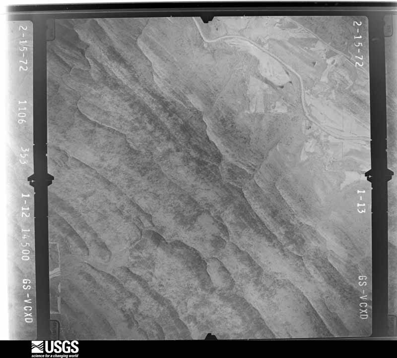
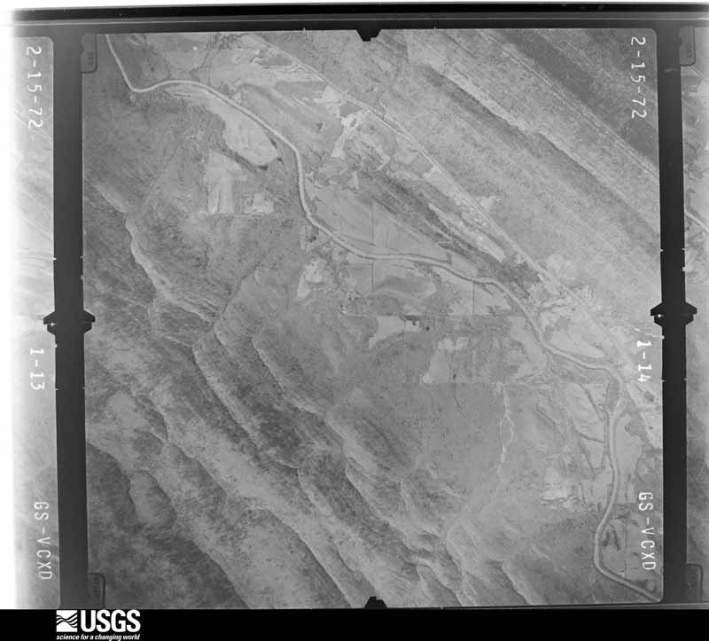
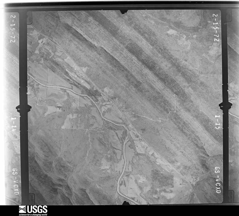
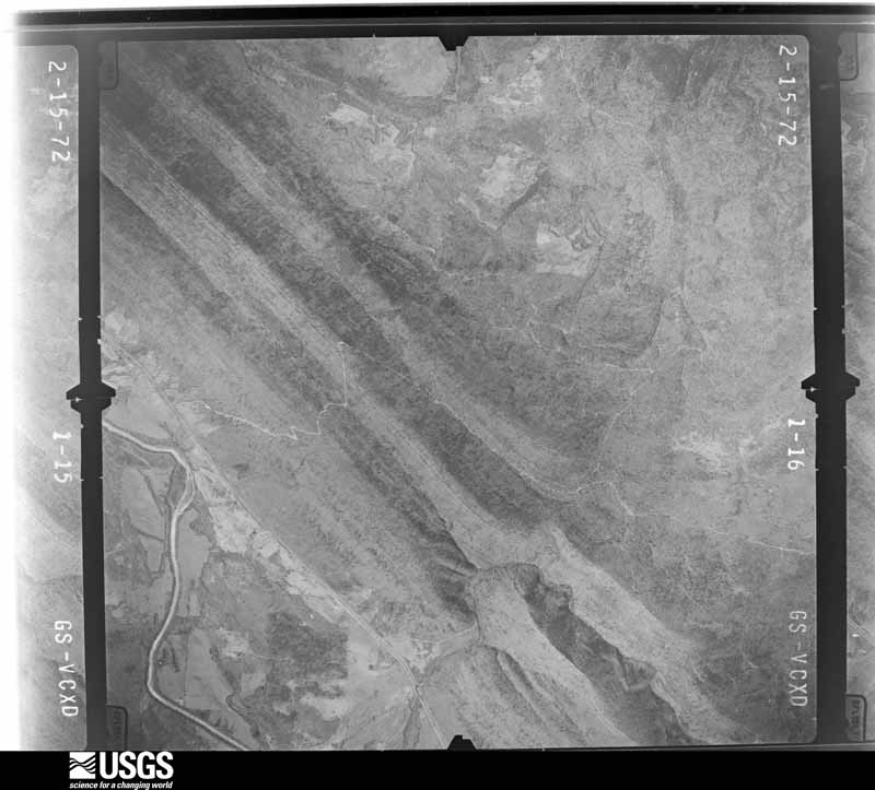
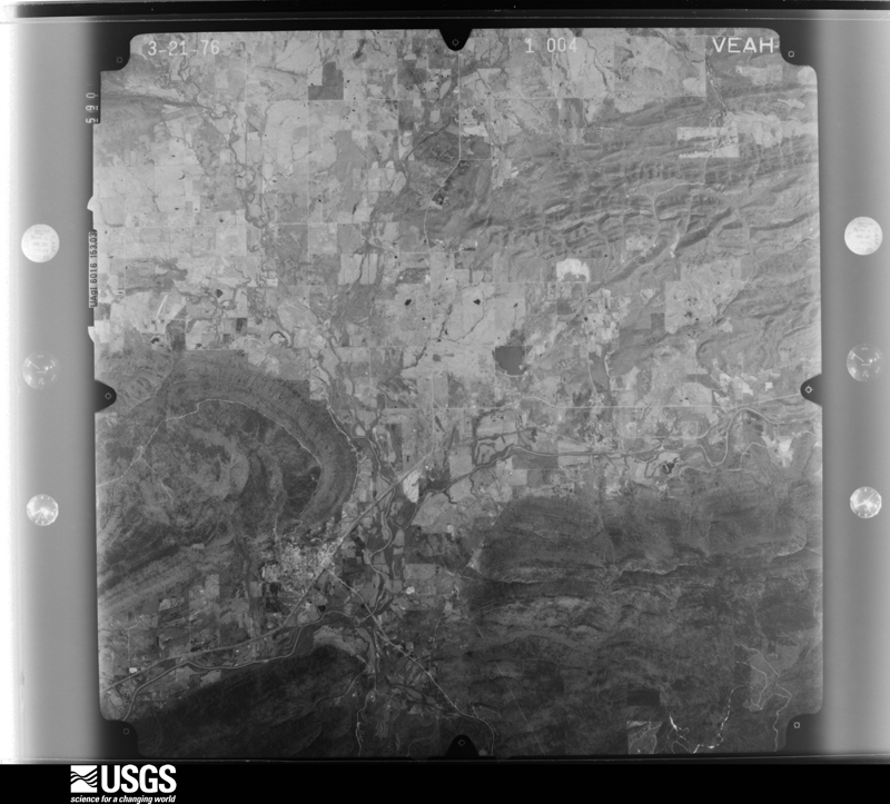
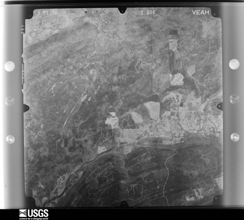
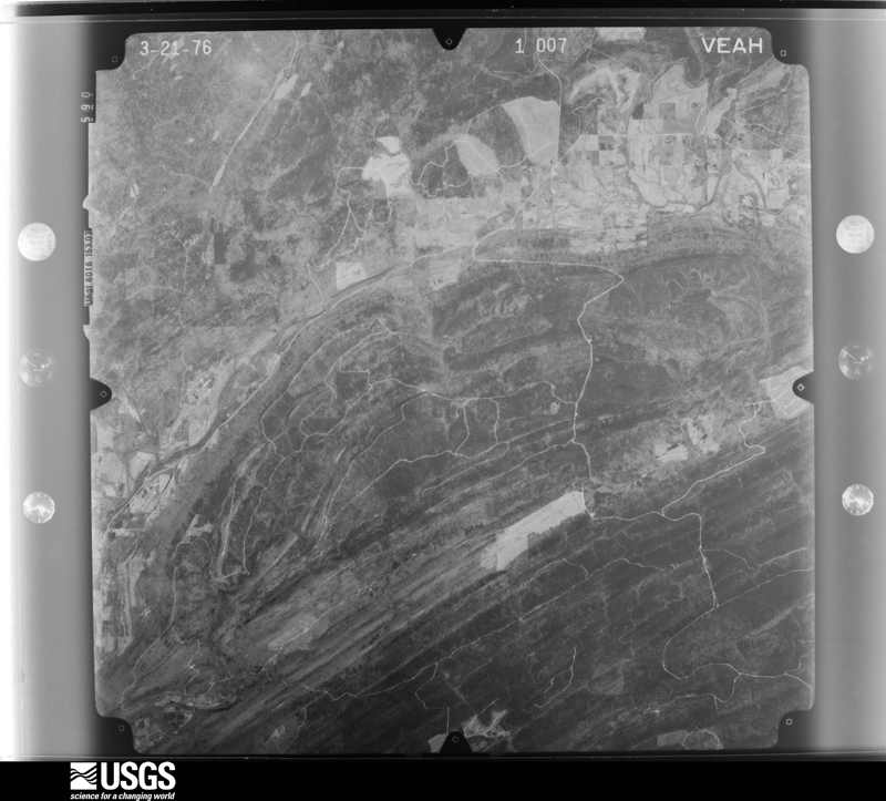
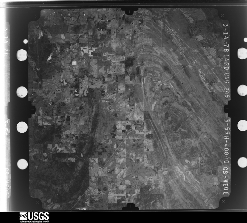
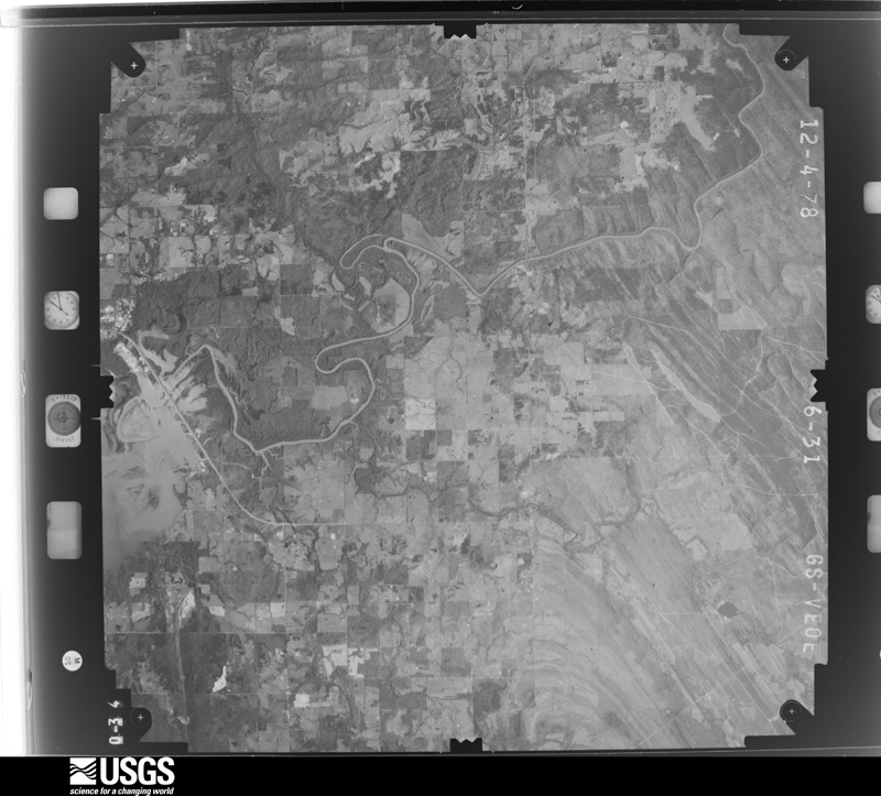
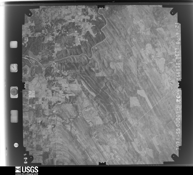
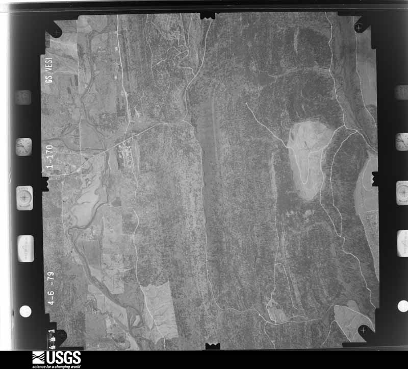
Flown by the U.S. Geological Survey between 1937 and 1989, the Aerial Photo Single Frames collection is the definitive mid-century view of the land: fields, roads and rivers as the camera saw them. The Survey holds 1,325 frames inside the rectangle that bounds this county; the 48 frames below were taken over the county itself, chosen across the decades of flights (at most four a year from that rectangle), so one flight cannot crowd out the rest. The full set is free to browse and download at EarthExplorer under the dataset Aerial Photo Single Frames.

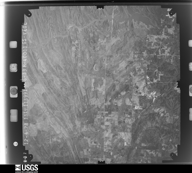
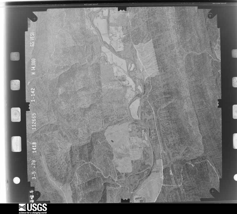
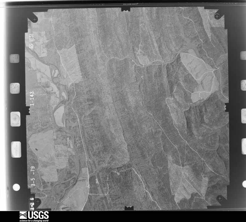
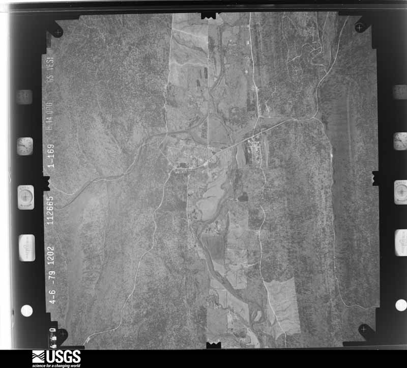
The thermometers that kept this county's weather, and the gages that measured the flow of its streams, as the federal records hold them. The extremes below are measured values from those records, not estimates.
Who lived here in 1950, one enumeration district at a time, as the Census Bureau described each district. Each row opens its official National Archives result, with Population Schedules and ED Maps available there.
Every wildfire the federal occurrence database records inside this county: 4,830 of them, burning about 145,523 acres. 282 started naturally and 2,114 were recorded as arson. Each settlement page carries the fires within five miles of it.
| Reported cause | Fires |
|---|---|
| Arson/incendiarism | 2114 |
| Missing data/not specified/undetermined | 963 |
| Debris and open burning | 846 |
| Equipment and vehicle use | 422 |
| Natural | 282 |
| Recreation and ceremony | 97 |
| Smoking | 46 |
| Misuse of fire by a minor | 31 |
| Railroad operations and maintenance | 26 |
| Firearms and explosives use | 1 |
| Power generation/transmission/distribution | 1 |
| Fireworks | 1 |
The five largest, by the area the report gives. Five of them were set deliberately.
| Date | Cause | Size | Reported by | Name on the report |
|---|---|---|---|---|
| 13 March 2011 | Arson/incendiarism | 2,700 acres | Oklahoma Division of Forestry | 20131 |
| 10 March 2018 | Debris and open burning | 2,400 acres | Talihina Agency | DUNCAN |
| 3 September 2010 | Arson/incendiarism | 2,300 acres | Talihina Agency | COUNTY LINE |
| 4 September 2011 | Arson/incendiarism | 2,000 acres | Oklahoma Division of Forestry | 10526 |
| 5 March 1999 | Arson/incendiarism | 1,880 acres | Oklahoma Division of Forestry | not named |
| 3 April 2006 | Arson/incendiarism | 1,800 acres | Oklahoma Division of Forestry | 10239 |
| 4 August 2011 | Natural | 1,621 acres | Oklahoma Division of Forestry | 10400 |
| 2 April 2003 | Debris and open burning | 1,470 acres | Oklahoma Division of Forestry | 10249 |
Every settlement page carries the fires within five miles of it - see the settlement index below.
The NOAA Storm Events Database holds 559 reports for this county, causing 1 death, 6 injuries and about $8,036,830 in recorded property damage. Each settlement page carries the reports that name it.
| Kind of event | Reports |
|---|---|
| Hail | 298 |
| Thunderstorm Wind | 155 |
| Tornado | 47 |
| Flash Flood | 40 |
| Flood | 16 |
| Lightning | 2 |
| Funnel Cloud | 1 |
The most serious of them, by death, then injury, then recorded damage. The accounts are quoted exactly as the forecast office filed them.
| When | Event | Place named | Harm | What the report says |
|---|---|---|---|---|
| November 1996 | Flash Flood | Antlers | 1 killed | no account filed |
| November 1983 | Tornado (F3) | not stated | 3 hurt, $2,500,000 | no account filed |
| April 1956 | Tornado (F3) | not stated | 3 hurt, $25,000 | no account filed |
| May 1982 | Tornado (F2) | not stated | $2,500,000 | no account filed |
| April 2000 | Tornado (F2) | Moyers | $250,000 | A F2 tornado touched down northeast of Moyers and traveled 9 miles east southeast before lifting 1 mile south of Finley. A mobile home and several outbuilding were destroyed. Some roof damage was reported to several buildings. |
| November 1983 | Tornado (F2) | not stated | $250,000 | no account filed |
| May 1982 | Tornado (F1) | not stated | $250,000 | no account filed |
| June 1970 | Tornado (F2) | not stated | $250,000 | no account filed |
| May 1960 | Tornado (F4) | not stated | $250,000 | no account filed |
| April 2008 | Hail | Antlers | $150,000 | Baseball size hail damaged homes and automobiles. |
| April 2016 | Tornado (EF1) | Nolia | $125,000 | This tornado destroyed a chicken house, destroyed an outbuilding, and snapped or uprooted trees. Based on this damage, maximum estimated wind in the tornado was 85 to 95 mph. |
| March 2000 | Hail | Moyers | $100,000 | no account filed |
| April 2022 | Hail | Antlers | $75,000 | Golf ball size hail damaged homes, businesses, and vehicles. |
| June 2023 | Thunderstorm Wind | Antlers | $56,000 | Thunderstorm wind resulted in at least $56,000 in damage to the utility infrastructure across the county during this severe thunderstorm. |
| May 2024 | Hail | Clayton | $50,000 | Hail slightly larger than golf ball size damaged homes, businesses, and vehicles. |
| July 2020 | Thunderstorm Wind | Antlers | $50,000 | Strong thunderstorm wind damaged businesses and blew down signs in and around Antlers. |
| April 2008 | Thunderstorm Wind | Corinne | $50,000 | Thunderstorm winds estimated at 80 miles an hour blew a 30 foot by 20 foot barn down. |
| April 2005 | Thunderstorm Wind | Nashoba | $50,000 | Thunderstorm winds estimated at 80 miles an hour did considerable damage just west of Nashoba.A 30 foot section of a lumber storage building was destroyed as was a garage. Numerous trees were uprooted. |
| April 2000 | Hail | Cloudy | $50,000 | Golfball size hail broke windows, damaged roofs and and damaged cars. |
| March 2008 | Hail | Antlers | $50,000 | no account filed |
| April 1994 | Tornado (F1) | - 1 N Albion | $50,000 | no account filed |
| May 1998 | Lightning | Moyers | $40,000 | Lightning set fire to and destroyed an old house |
| May 2015 | Tornado (EF2) | Nashoba | $35,000 | This is the first segment of a two segment tornado. This tornado developed between Highways 271 and 144 over heavily wooded and rugged terrain that was inaccessible by road. An aerial survey indicated extensive tree damage in this area, which was also visible from Highway 271 looking southwest from Albion. As the tornado approached Albion from the southwest, trees were uprooted on Deep Lake Loop. Several homes were damaged, an outbuilding was destroyed, and trees were snapped or uprooted in Albion before the tornado moved into Latimer County. Based on this damage, maximum estimated wind in this segment of the tornado was 115 to 125 mph. |
| May 2015 | Thunderstorm Wind | Rattan | $35,000 | Strong thunderstorm wind uprooted trees, damaged three mobile homes, and blew shingles off roofs of several homes. |
| April 2016 | Thunderstorm Wind | Rattan | $30,000 | Strong thunderstorm wind uprooted trees, damaged outbuildings, snapped power poles, and damaged the roof of a home in and around town. |
| April 2026 | Hail | Darwin | $25,000 | Golf ball size hail damaged homes and vehicles. |
| May 2015 | Thunderstorm Wind | Sardis | $25,000 | Strong thunderstorm wind destroyed a camping trailer at the Sardis Cove Campground on Sardis Lake. |
| January 2012 | Flash Flood | Antlers | $25,000 | A section of roadway was washed out between Antlers and Rattan. |
| April 2011 | Thunderstorm Wind | Moyers | $25,000 | Strong thunderstorm wind destroyed a travel trailer, destroyed a shed, and blew down trees and power lines. |
| June 2011 | Hail | Nashoba | $25,000 | Hail up to tennis ball size severely damaged the body of automobiles and broke windows. |
| April 2005 | Thunderstorm Wind | Snow | $25,000 | Thunderstorm winds estimated at 70 miles an hour blew some siding off a house. A tree blown down by the wind fell onto the house. |
| August 2003 | Thunderstorm Wind | Antlers | $25,000 | Thunderstorm winds estimated at 80 miles an hour blew down trees and power lines leaving nearly one thousand people without power. The wind also caused some roof damage. |
| June 2003 | Thunderstorm Wind | Rattan | $25,000 | Thunderstorm winds estimated at 70 miles an hour damaged the roofs of a few homes and blew down trees. |
| April 2000 | Tornado (F2) | Cloudy | $25,000 | A F2 tornado touched down west of Cloudy and traveled just south of Cloudy through rural areas of Pushmataha county before lifting 9 miles later east southeast of Cloudy. Only tree damage was observered. |
| March 2019 | Hail | Antlers | $25,000 | no account filed |
| June 2011 | Hail | Antlers | $25,000 | no account filed |
| May 1992 | Tornado (F2) | not stated | $25,000 | no account filed |
| November 1988 | Tornado (F1) | not stated | $25,000 | no account filed |
| June 1982 | Tornado (F1) | not stated | $25,000 | no account filed |
| May 1962 | Tornado (F2) | not stated | $25,000 | no account filed |
| July 2025 | Thunderstorm Wind | Antlers | $20,000 | Strong thunderstorm wind damaged the awning of a gas station, snapped large tree limbs, and blew down power lines. |
| September 2006 | Tornado (F0) | Antlers | $20,000 | A tornado destroyed a storage building and snapped trees. |
| April 2011 | Hail | Clayton | $20,000 | no account filed |
| May 2024 | Hail | Hurd | $15,000 | Hail up to golf ball size damaged homes and vehicles. |
| April 2011 | Thunderstorm Wind | Snow | $15,000 | Trees were damaged by strong thunderstorm winds. One tree was blown down onto a mobile home. |
| July 2007 | Flash Flood | Finley | $15,000 | Nearly six inches of rain caused flash flooding. The water from a nearby creek entered three homes. Several roads were flooded and closed. |
| April 2014 | Hail | Rattan | $15,000 | no account filed |
| August 2012 | Hail | Stanley | $15,000 | no account filed |
| April 2011 | Hail | Nashoba | $15,000 | no account filed |
| September 2006 | Tornado (F0) | Miller | $12,000 | A tornado produced minor damage to several homes and snapped trees. |
| April 2020 | Thunderstorm Wind | Jumbo | $10,000 | Strong thunderstorm wind damaged the roof of a home and blew over a camper north of Jumbo. |
| April 2016 | Thunderstorm Wind | Rattan | $10,000 | Strong thunderstorm wind damaged the roofs of several homes. |
| April 2011 | Thunderstorm Wind | Nashoba | $10,000 | Strong thunderstorm wind damaged two homes and blew down numerous trees on Nolia Loop Road east of Nashoba. |
| April 2011 | Tornado (EF1) | Jumbo | $10,000 | A tornado snapped or uprooted a number of trees. Power poles were also snapped by this tornado. Maximum estimated wind in the tornado based on this damage was about 100 mph. This tornado was observed by a storm chaser. |
| June 2004 | Thunderstorm Wind | Clayton | $10,000 | Thunderstorm winds estimated at 70 miles an hour blew trees down. The trees caused damage to some personal property. |
| February 2001 | Thunderstorm Wind | Ethel | $10,000 | Thunderstorm winds damaged one home and two framed outbuildings. There was also extensive tree damage. |
| February 2001 | Thunderstorm Wind | Antlers | $10,000 | Thunderstorm winds destroyed seven outbuildings. |
| November 2001 | Thunderstorm Wind | Antlers | $10,000 | Thunderstorm winds estimated at 70 miles an hour blew a tree down. The tree landed on a vehicle and also pulled some power lines down causing a power outage. |
| November 1999 | Thunderstorm Wind | Oleta | $10,000 | Strong winds damaged a trailer home. |
| April 1997 | Thunderstorm Wind | Nashoba | $10,000 | Roofs of 5 homes were damaged and a mobile home was blown off its foundation by severe thunderstorm winds. |
The Survey's mineral resources record lists 21 workings inside this county. 3 still produce and 18 are closed or unrecorded. Each settlement page carries the workings within five miles of it.
| Commodity | Workings |
|---|---|
| Sand and Gravel, Construction | 16 |
| Clay | 5 |
The least common of them first, because a county's hundredth gravel pit says nothing its first ten did not.
| Where | Site | Commodity | Status | Recorded |
|---|---|---|---|---|
| Three Unnamed Shale Pits | Clay | Past Producer | ||
| Two Unnamed Shale Pits | Clay | Past Producer | ||
| Unknown Shale Pit | Clay | Past Producer | ||
| Unknown Shale Pit | Clay | Past Producer | ||
| Unknown Shale Pit | Clay | Past Producer | ||
| Albion Crusher | Sand and Gravel, Construction | Past Producer | ||
| Clayton No. 1 | Sand and Gravel, Construction | Producer | ||
| County Gravel Pit | Sand and Gravel, Construction | Producer | ||
| County Gravel Pit | Sand and Gravel, Construction | Producer | ||
| Four Unnamed Gravel Pits | Sand and Gravel, Construction | Past Producer | ||
| Three Unnamed Gravel Pits | Sand and Gravel, Construction | Past Producer | ||
| Two Unnamed Gravel Pits | Sand and Gravel, Construction | Past Producer | ||
| Two Unnamed Gravel Pits | Sand and Gravel, Construction | Past Producer | ||
| Two Unnamed Gravel Pits | Sand and Gravel, Construction | Past Producer | ||
| Two Unnamed Gravel Pits | Sand and Gravel, Construction | Past Producer | ||
| Unknown Gravel Pit | Sand and Gravel, Construction | Past Producer | ||
| Unknown Gravel Pit | Sand and Gravel, Construction | Past Producer | ||
| Unknown Gravel Pit | Sand and Gravel, Construction | Past Producer | ||
| Unknown Gravel Pit | Sand and Gravel, Construction | Past Producer | ||
| Unknown Gravel Pit | Sand and Gravel, Construction | Past Producer | ||
| William Labor Gravel Pit | Sand and Gravel, Construction | Past Producer |
Named settlements recorded in the Geographic Names Information System, each with the topographic sheets covering it. Villages, hamlets and abandoned places alike. Each is shown with the nearest named watercourse or landform and the survey quadrangle it falls on. The 2 places that were also surveyed for fire insurance come first, with the number of atlases and photographs held for them.
Antlers census division · 74523 · Antlers East quadrangle
16 sheets, 1901 to 1985
Fire insurance: 9 atlases
North Pushmataha census division · 74574 · Clayton quadrangle
14 sheets, 1901 to 1991
Fire insurance: 5 atlases
North Pushmataha census division · 74536 · On Satterfield Branch · Adel quadrangle
16 sheets, 1898 to 1991
North Pushmataha census division · 74521 · On Clear Creek · Albion quadrangle
15 sheets, 1901 to 1991
Finley-Rattan census division · 74523 · On Mill Creek · Rattan quadrangle
16 sheets, 1901 to 1985
Antlers census division · 74523 · On Dumpling Creek · Antlers East quadrangle
16 sheets, 1901 to 1985
North Pushmataha census division · 74536 · On Jackfork Creek · Clayton quadrangle
14 sheets, 1901 to 1991
Finley-Rattan census division · 74562 · On Mill Creek · Cloudy quadrangle
15 sheets, 1901 to 1985
Antlers census division · 74523 · On Haggerman Creek · Antlers East quadrangle
16 sheets, 1901 to 1985
Finley-Rattan census division · 74567 · Wildhorse Mountain quadrangle
15 sheets, 1901 to 1985
North Pushmataha census division · 74536 · On Long Bell Creek · Dunbar quadrangle
15 sheets, 1901 to 1985
North Pushmataha census division · 74557 · On Bull Creek · Dunbar quadrangle
15 sheets, 1901 to 1985
North Pushmataha census division · 74558 · On Uphill Creek · Albion SE quadrangle
14 sheets, 1901 to 1991
Finley-Rattan census division · 74543 · On Dog Creek · Finley quadrangle
15 sheets, 1901 to 1985
Antlers census division · 74557 · On Little Tenmile Creek · Jumbo quadrangle
18 sheets, 1901 to 1985
Antlers census division · 74523 · On Panther Creek · Moyers quadrangle
17 sheets, 1901 to 1985
North Pushmataha census division · 74574 · On Bryant Branch · Kiamichi quadrangle
14 sheets, 1901 to 1991
Antlers census division · 74557 · On Patterson Creek · Kosoma quadrangle
16 sheets, 1901 to 1985
Antlers census division · 74557 · On Davenport Creek · Moyers quadrangle
17 sheets, 1901 to 1985
Antlers census division · 74557 · On Frederick Creek · Moyers quadrangle
17 sheets, 1901 to 1985
North Pushmataha census division · 74558 · On Cripple Creek · Nashoba quadrangle
16 sheets, 1901 to 1985
North Pushmataha census division · On Hardy Creek · Wildhorse Mountain quadrangle
15 sheets, 1901 to 1985
North Pushmataha census division · 74558 · On Davis Branch · Nashoba quadrangle
16 sheets, 1901 to 1985
Finley-Rattan census division · 74562 · On South Branch Frazier Creek · Spencerville quadrangle
15 sheets, 1901 to 1985
Finley-Rattan census division · On Houston Creek · Sobol quadrangle
17 sheets, 1901 to 1985
Finley-Rattan census division · 74562 · On Glade Branch · Rattan quadrangle
16 sheets, 1901 to 1985
Finley-Rattan census division · 74543 · On Snow Creek · Snow quadrangle
15 sheets, 1901 to 1985
North Pushmataha census division · 74536 · On Crumb Creek · Stanley quadrangle
14 sheets, 1901 to 1991
16 topographic sheets and 9 fire insurance atlases, 1896 to 1943
14 topographic sheets and 5 fire insurance atlases, 1899 to 1916