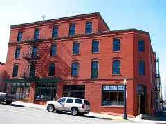
Block
From the record
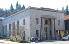
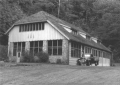
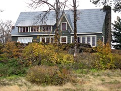
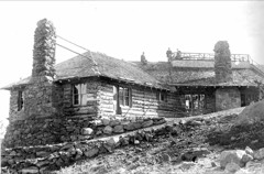
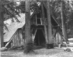
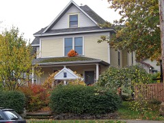
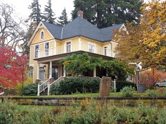
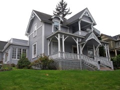
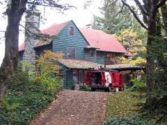
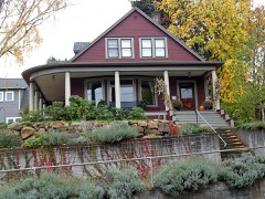
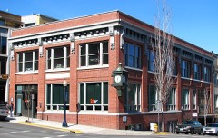
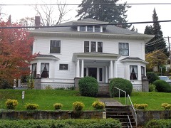
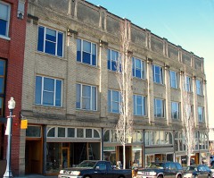
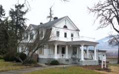
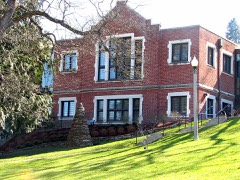
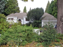
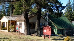
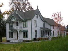
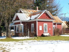
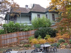
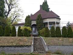
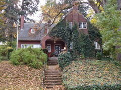
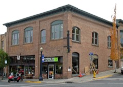
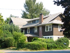
36 National Register listings published here.
Sources: the National Register database, National Park Service
37 topographic sheets cover 11 settlements here, and 36 properties are on the National Register of Historic Places.
36 National Register listings published here.
Sources: the National Register database, National Park Service
Every property in this county listed on the National Register of Historic Places, with the year it was listed and the federal nomination document.
Every wildfire the federal occurrence database records inside this county: 688 of them, burning about 63,492 acres. 115 started naturally and 30 were recorded as arson. Each settlement page carries the fires within five miles of it.
| Reported cause | Fires |
|---|---|
| Recreation and ceremony | 196 |
| Natural | 115 |
| Equipment and vehicle use | 75 |
| Debris and open burning | 71 |
| Smoking | 66 |
| Missing data/not specified/undetermined | 54 |
| Railroad operations and maintenance | 35 |
| Arson/incendiarism | 30 |
| Power generation/transmission/distribution | 18 |
| Fireworks | 17 |
| Other causes | 7 |
| Firearms and explosives use | 2 |
| Misuse of fire by a minor | 2 |
The five largest, by the area the report gives. One of them was set deliberately.
| Date | Cause | Size | Reported by | Name on the report |
|---|---|---|---|---|
| 2 September 2017 | Fireworks | 48,488 acres | Columbia River Gorge National Scenic Area | EAGLE CREEK |
| 26 August 2011 | Natural | 6,304 acres | The Dalles Unit | DOLLAR LAKE |
| 8 August 2008 | Natural | 3,280 acres | Mt. Hood National Forest | GNARL RIDGE |
| 7 August 2006 | Natural | 1,850 acres | Mt. Hood National Forest | BLUEGRASS |
| 21 June 2000 | Missing data/not specified/undetermined | 1,000 acres | Columbia River Gorge National Scenic Area | MARYHILL |
| 4 July 2017 | Arson/incendiarism | 373 acres | Mt. Hood National Forest | INDIAN CREEK |
| 2 September 2003 | Power generation/transmission/distribution | 370 acres | Columbia River Gorge National Scenic Area | HERMAN |
| 1 August 2020 | Missing data/not specified/undetermined | 313 acres | The Dalles Unit | FIR MOUNTAIN |
Every settlement page carries the fires within five miles of it - see the settlement index below.
The NOAA Storm Events Database holds 27 reports for this county, causing no deaths, no injuries and about $30,002,000 in recorded property damage. Each settlement page carries the reports that name it.
| Kind of event | Reports |
|---|---|
| Heavy Rain | 15 |
| Thunderstorm Wind | 4 |
| Flood | 4 |
| Hail | 3 |
| Wildfire | 1 |
The most serious of them, by death, then injury, then recorded damage. The accounts are quoted exactly as the forecast office filed them.
| When | Event | Place named | Harm | What the report says |
|---|---|---|---|---|
| November 2006 | Flood | Hood River | $30,000,000 | The Hood River near the city of Hood River crested at 14.1 feet on November 7th, with flood stage at 13.0 feet. The flooding and debris flow up river from this gauge caused major damage to Hwy. 35 on Mt. Hood, closing the highway for a month due to repair work. Moderate damage was also done to irrigation works. |
| May 1998 | Thunderstorm Wind | Parkdale | $2,000 | no account filed |
| June 2018 | Hail | Odell | - | Hood River news reported that cherry, pear, and apple orchardists in the Odell area reported damage to their crop due to half-inch hail. How much damage is unknown. |
| December 2015 | Flood | Hood River | - | Heavy rain resulted in the flooding of Hood River near Hood River. |
| January 2011 | Flood | Van Horn | - | Heavy rain combined with snowmelt runoff resulting in the flooding of the Hood River. The Hood River at Tucker Bridge crested at 14.3 feet on January 16th at 10:30 PST. |
| January 2009 | Flood | Parkdale | - | Heavy rain combined with snowmelt runoof caused very high water on several streams and creeks which resulted in water over highway 35 between Mount Hood Meadows and Parkdale. |
| August 2008 | Hail | Odell | - | A spotter called in and reported dime-sized hail, with some slightly larger hailstones mixed in. |
| January 2007 | Heavy Rain | Cascade Locks | - | A total accumulation of 2.22 inches was reported. |
| December 2007 | Heavy Rain | (Czk)Cascade Locks A | - | Storm total precipitation was 11.23 inches at the Log Creek RAWS. |
| December 2007 | Heavy Rain | Dee | - | Storm total precipitation was 5.17 inches at the Middle Mountain RAWS. |
| December 2007 | Heavy Rain | Dee | - | Storm total precipitation was 4.96 inches. |
| December 2007 | Heavy Rain | Hood River | - | Storm total precipitation was 4.50 inches in Hood River. |
| December 2007 | Heavy Rain | Parkdale | - | Storm total precipitation was 3.57 inches. |
| November 2006 | Heavy Rain | Dee | - | Recorded a 5-day total of 8.1 inches. |
| September 2005 | Heavy Rain | Mt Hood | - | no account filed |
| January 2004 | Heavy Rain | Countywide | - | no account filed |
| August 2004 | Heavy Rain | Countywide | - | no account filed |
| December 2003 | Heavy Rain | Countywide | - | no account filed |
| September 2003 | Wildfire | Cascade Locks | - | no account filed |
| January 2003 | Heavy Rain | Countywide | - | no account filed |
| March 2003 | Heavy Rain | Countywide | - | no account filed |
| March 2003 | Heavy Rain | Countywide | - | no account filed |
| August 2003 | Hail | Hood River | - | no account filed |
| August 2001 | Heavy Rain | Countywide | - | no account filed |
| August 1991 | Thunderstorm Wind | not stated | - | no account filed |
| July 1990 | Thunderstorm Wind | not stated | - | no account filed |
| July 1970 | Thunderstorm Wind | not stated | - | no account filed |
The Survey's mineral resources record lists 70 workings inside this county. 23 still produce and 47 are closed or unrecorded. Each settlement page carries the workings within five miles of it.
| Commodity | Workings |
|---|---|
| Stone | 24 |
| Stone, Crushed/Broken | 23 |
| Sand and Gravel, Construction | 21 |
| Gold, Copper | 1 |
| Gold | 1 |
| Copper | 1 |
The least common of them first, because a county's hundredth gravel pit says nothing its first ten did not.
| Where | Site | Commodity | Status | Recorded |
|---|---|---|---|---|
| New Deal | Gold, Copper | Occurrence | Gold | |
| New Deal | Gold, Copper | Prospect | ||
| Alameda Pit | Sand and Gravel, Construction | Past Producer | ||
| Alameda Pit | Sand and Gravel, Construction | Producer | ||
| Cascade Locks Pit and Plant | Sand and Gravel, Construction | Past Producer | ||
| Dukes Valley Quarry | Sand and Gravel, Construction | Past Producer | ||
| East Pit | Sand and Gravel, Construction | Past Producer | ||
| East Pit | Sand and Gravel, Construction | Past Producer | ||
| Fountain Slide | Sand and Gravel, Construction | Past Producer | ||
| Fountain Slide | Sand and Gravel, Construction | Producer | ||
| Gravel Pit | Sand and Gravel, Construction | Past Producer | ||
| Hanel Pit | Sand and Gravel, Construction | Producer | ||
| Herman Creek | Sand and Gravel, Construction | Past Producer | ||
| Hernam Creek Quarry | Sand and Gravel, Construction | Producer | ||
| Island Rock Quarry | Sand and Gravel, Construction | Past Producer | ||
| Kerby | Sand and Gravel, Construction | Past Producer | ||
| Kerby | Sand and Gravel, Construction | Producer | ||
| Old Dalles Pit | Sand and Gravel, Construction | Past Producer | ||
| Topsoil Pit | Sand and Gravel, Construction | Past Producer | ||
| Trout Creek Pit | Sand and Gravel, Construction | Past Producer | ||
| Trout Creek Pit | Sand and Gravel, Construction | Past Producer | ||
| Unnamed Pit | Sand and Gravel, Construction | Producer | ||
| White River | Sand and Gravel, Construction | Past Producer | ||
| Cascade Locks Pit and Plant | Stone, Crushed/Broken | Producer | ||
| Dee Pit | Stone, Crushed/Broken | Producer | ||
| Dollar Pit 1920 Trs | Stone, Crushed/Broken | Past Producer | ||
| Dukes Valley Quarry | Stone, Crushed/Broken | Producer | ||
| East Pit | Stone, Crushed/Broken | Producer | ||
| Evens Creek | Stone, Crushed/Broken | Producer | ||
| George Property Quarry | Stone, Crushed/Broken | Producer | ||
| Hood River Pit & Plant | Stone, Crushed/Broken | Past Producer | ||
| Island Rock Quarry | Stone, Crushed/Broken | Producer | ||
| Jones Creek Pit 1812 Trs | Stone, Crushed/Broken | Past Producer | ||
| Koberg Quarry | Stone, Crushed/Broken | Producer | ||
| Lava Pit | Stone, Crushed/Broken | Producer | ||
| Old Dalles Pit | Stone, Crushed/Broken | Producer | ||
| Raker Pint Pit 1833 T.R.S. | Stone, Crushed/Broken | Past Producer | ||
| Shell Rock Pit 11022 Trs | Stone, Crushed/Broken | Past Producer | ||
| Smullen Quarry | Stone, Crushed/Broken | Producer | ||
| Unnamed Pit | Stone, Crushed/Broken | Producer | ||
| Unnamed Pit | Stone, Crushed/Broken | Producer | ||
| Unnamed Pit | Stone, Crushed/Broken | Producer | ||
| Unnamed Pit | Stone, Crushed/Broken | Producer | ||
| Unnamed Quarry | Stone, Crushed/Broken | Past Producer | ||
| Unnamed Quarry | Stone, Crushed/Broken | Past Producer | ||
| White River Pit | Stone, Crushed/Broken | Producer | ||
| Basalt Quarry | Stone | Past Producer | ||
| Basalt Quarry | Stone | Past Producer | ||
| Basalt Quarry | Stone | Past Producer | ||
| Dee | Stone | Past Producer | ||
| Dollar Pit 1920 Trs | Stone | Past Producer | ||
| Dukes Valley Quarry | Stone | Past Producer | ||
| Dukes Valley Quarry | Stone | Producer | ||
| East Pit | Stone | Past Producer | ||
| Evens Creek | Stone | Past Producer | ||
| George Property Quarry | Stone | Past Producer | ||
| Hanel Quarry | Stone | Past Producer | ||
| Hood River Pit & Plant | Stone | Past Producer | ||
| Hood River Sand and Gravel Pit | Stone | Past Producer | ||
| Hood River Sand and Gravel Pit | Stone | Past Producer | ||
| Jones Creek Pit 1812 Trs | Stone | Past Producer | ||
| Koberg Quarry | Stone | Past Producer | ||
| Koburg Quarry and Plant | Stone | Past Producer | ||
| Koburg Quarry and Plant | Stone | Past Producer | ||
| Lava | Stone | Past Producer | ||
| Quarry | Stone | Past Producer | ||
| Quarry | Stone | Past Producer | ||
| Raker Pint Pit1833 T.R.S. | Stone | Past Producer | ||
| Shell Rock Pit 11022 Trs | Stone | Past Producer | ||
| Smullen Quarry | Stone | Past Producer |
Named settlements recorded in the Geographic Names Information System, each with the topographic sheets covering it. Villages, hamlets and abandoned places alike. Each is shown with the nearest named watercourse or landform and the survey quadrangle it falls on.
Cascade Locks census division · 97014 · Near Thunder Island · Bonneville Dam quadrangle
14 sheets, 1926 to 1994
Hood River census division · 97031 · On Indian Creek · Hood River quadrangle
17 sheets, 1926 to 1994
Odell census division · 97031 · On Rhoades Creek · Hood River quadrangle
17 sheets, 1926 to 1994
Dee census division · 97031 · On Inlet Creek · Bull Run Lake quadrangle
16 sheets, 1924 to 1997
Parkdale census division · 97041 · On Evans Creek · Parkdale quadrangle
16 sheets, 1926 to 1994
Hood River census division · 97031 · On Alder Brook · Hood River quadrangle
17 sheets, 1926 to 1994
Odell census division · 97031 · Near Lenz Butte · Hood River quadrangle
17 sheets, 1926 to 1994
Parkdale census division · 97041 · On Griswell Creek · Parkdale quadrangle
16 sheets, 1926 to 1994
Odell census division · 97031 · Near Van Horn Butte · Hood River quadrangle
17 sheets, 1926 to 1994
Hood River census division · 97031 · On Ferguson Creek · Hood River quadrangle
17 sheets, 1926 to 1994