 Block
Oregon City, Oregon
19 topographic sheets cover this place, the earliest surveyed in 1914 and the latest in 1982. It stands in the Northwest Clackamas census division. It lies in ZIP code area 97045. It stands on Singer Creek. The Survey maps it on the Oregon City quadrangle. 37,572 people lived here at the 2020 count. It stands 141 feet above sea level.
On record in Oregon City
Buildings and businesses the archive holds for this place. Each opens its own page, with the source record it came from.
On the National Register 12 of 29 shown
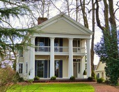 Capt. John C. Ainsworth Houselisted 1973
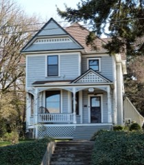 Charles C. Babcock Houselisted 1982
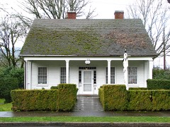 Dr. Forbes Barclay Houselisted 1974
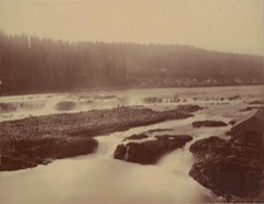 Canemah Historic Districtlisted 1978
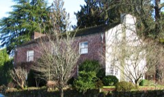 Elizabeth Clark Houselisted 1990
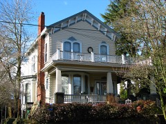 Harvey Cross Houselisted 1979
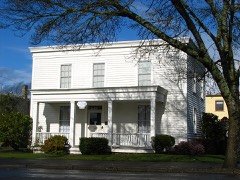 Francis Ermatinger Houselisted 1987
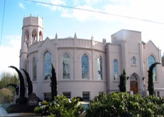 First Congregational Church of Oregon Citylisted 1982
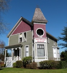 Erwin Charles Hackett Houselisted 1985
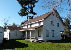 William L. Holmes Houselisted 1974
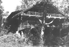 Jackson, C. S. "Sam", Log Houselisted 1981
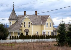 Andrew J. and Anna B. Johnston Farmsteadlisted 1997
Population over time
3 figuresOregon City grew from 25,754 to 37,572 between 2000 and 2020. These are the recorded population figures Wikidata holds for this place, reached through the Geographic Names Information System number this page is keyed on rather than by name, so they belong to this place and not to another of the same name. Most are census counts, but not all are: an early figure may be a founding or settlement estimate, and an estimate published within five years of a census is left out. The change column is computed, and is left blank where more than 20 years separate a figure from the one before it, because a gap that long is not a change between two counts.
| Year | People | Change |
|---|---|---|
| 2000 | 25,754 | |
| 2010 | 31,859 | +6,105 (+24%) |
| 2020 | 37,572 | +5,713 (+18%) |
Topographic sheets covering this place
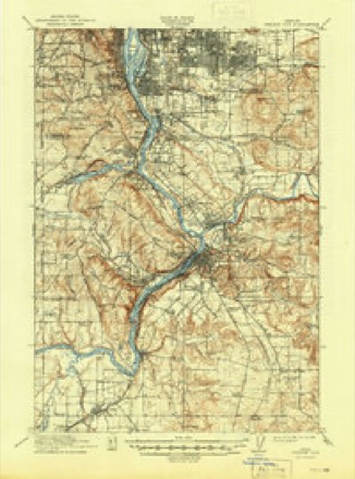
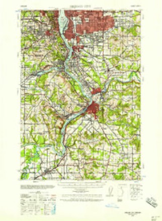
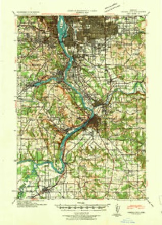
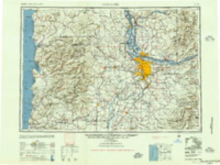
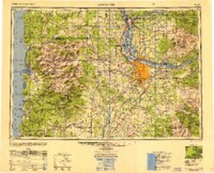
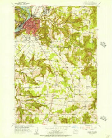
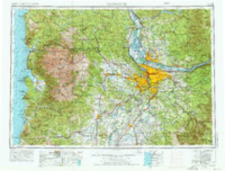
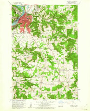
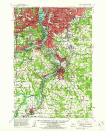
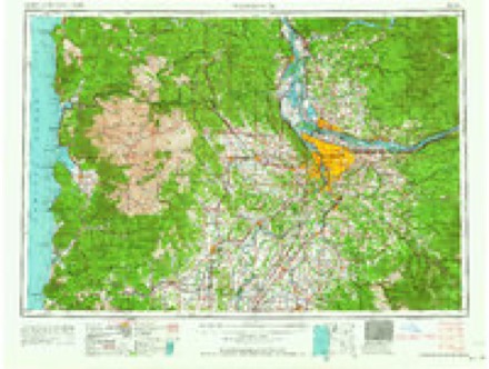
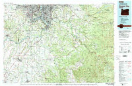
11 surveys from 19 printed sheetsMatched by testing this settlement's coordinate against the published boundary of every sheet in the United States Geological Survey's historical collection. Each opens the scanned sheet at the Survey.
- 1914 USGS Oregon City quadrangle1:62500, 4 printings
- 1939 USGS Oregon City quadrangle1:62500
- 1941 USGS Oregon City quadrangle1:62500
- 1948 USGS Vancouver quadrangle1:250000
- 1950 USGS Vancouver quadrangle1:250000, 2 printings
- 1954 USGS Oregon City quadrangle1:24000
- 1958 USGS Vancouver quadrangle1:250000, 3 printings
- 1961 USGS Oregon City quadrangle1:24000, 3 printings
- 1961 USGS Oregon City quadrangle1:62500
- 1964 USGS Vancouver quadrangle1:250000
- 1982 USGS Oregon City quadrangle1:100000
Mines and quarries near this place
10 of 33 shownRegional context, not property-specific evidence. The federal mineral resources record lists 33 workings within 5 miles of Oregon City: 20 past producers, 11 producers, 2 occurrences. 11 still produce. What was taken out: Sand and Gravel, Construction, Stone, Silica, Stone, Crushed/Broken. Distance is straight-line from the map coordinates, so a quarry counted here may appear on a neighbouring settlement's page as well.
| Where | Site | Commodity | Status | Recorded |
|---|---|---|---|---|
| Petes Mtn | Iron | Past Producer | ||
| Petes Mtn | Iron | Past Producer | ||
| J P Vlahos | Stone, Crushed/Broken | Past Producer | ||
| Pynns Rock Quarry | Stone, Crushed/Broken | Producer | ||
| Seventh Day Adventists | Stone, Crushed/Broken | Producer | ||
| Francis Welsh Silica Mine | Silica | Occurrence | ||
| Francis Welsh Silica Mine | Silica | Past Producer | ||
| Terrill Silica Deposit | Silica | Occurrence | ||
| Terrill Silica Deposit | Silica | Past Producer | ||
| J P Vlahos | Stone | Past Producer |
Storms near this place
10 since 1996Regional context, not property-specific evidence. The National Weather Service names Oregon City in 10 storm reports between 1996 and 2022: 4 flood, 2 hail, 1 tornado, 1 thunderstorm wind. No death or injury is recorded in these reports. Each account below is quoted exactly as the forecast office filed it, from the NOAA Storm Events Database, and each date opens the federal record of that event.
| When | Event | Place named | Harm | What the report says |
|---|---|---|---|---|
| February 2022 | Debris Flow | Oregon City | $50,000 | Oregon 99E was closed due to a rock fall which damaged a large truck. Around 2 to 3 inches of rain fell. |
| October 2000 | Tornado (F1) | Oregon City | $35,000 | no account filed |
| December 2014 | Heavy Rain | Oregon City | - | The Oregon Department of Transportation reported that heavy rain resulted in a rockslide that blocked Highway 99E in Oregon City. |
| January 2012 | Flood | Oregon City | - | Heavy rain combined with snowmelt runoff caused the Willamette River below the Falls at Oregon City to overflow its banks and flood low lying areas. The Willamette River crested at 29.1 feet on January 21st at 5 pm PST, 2.1 feet above flood stage. |
| November 2006 | Flood | Oregon City | - | The Clackamas River near Oregon City crested at 39.4 feet on November 7th, with flood stage at 39.0 feet. |
| January 2006 | Flood | Oregon City | - | no account filed |
| September 2006 | Hail | Oregon City | - | no account filed |
| April 2005 | Thunderstorm Wind | Oregon City | - | no account filed |
| December 2005 | Flood | Oregon City | - | no account filed |
| May 1996 | Hail | Oregon City | - | no account filed |
Nearest settlements
The eight closest, with where each one stands in the county. Distances are straight-line, computed from the Geographic Names Information System coordinates.
| Map | Place | Distance | Sheets |
|---|---|---|---|
| West Linn | 0.6 miles | 19 | |
| Canemah | 1.1 miles | 19 | |
| Sunset | 1.2 miles | 21 | |
| Mount Pleasant | 1.3 miles | 19 | |
| Bolton | 1.4 miles | 21 | |
| Gladstone | 1.7 miles | 23 | |
| Clackamas Heights | 1.7 miles | 19 | |
| Park Place | 1.8 miles | 23 |
Elsewhere
Matched on this settlement's Geographic Names Information System number rather than its name, so it cannot be a different place of the same name in another state.
| Wikipedia article on Oregon City | An encyclopaedic summary. Its text is share-alike, so it is linked here rather than copied. |
| Wikidata item Q849596 | The structured record the population and elevation above come from. Public domain (CC0). |
Provenance
This settlement is recorded in the Geographic Names Information System as feature 1136601. The sheet list is computed by point-in-boundary test against the United States Geological Survey's historical topographic inventory. Both are works of the United States government and carry no copyright under 17 U.S.C. 105.
Mines and quarries. USGS Mineral Resources Data System (MRDS) https://mrdata.usgs.gov/mrds/ A work of the United States government, no copyright under 17 U.S.C. 105.
Storms. NOAA National Centers for Environmental Information, Storm Events Database https://www.ncei.noaa.gov/stormevents/ A work of the United States government, no copyright under 17 U.S.C. 105. Narratives are quoted verbatim from the National Weather Service report and are not edited or summarised.