 Block
Portland, Oregon
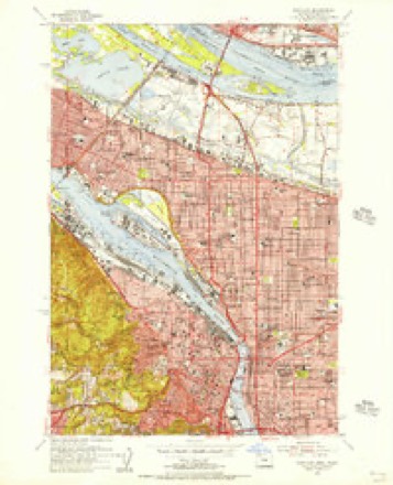
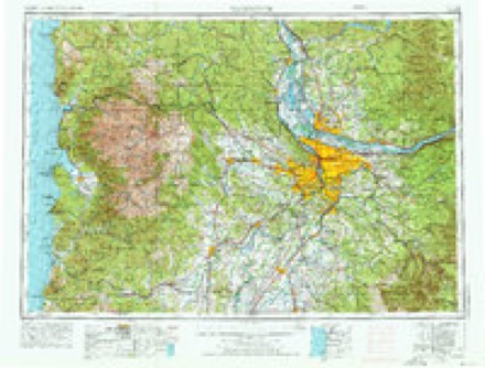
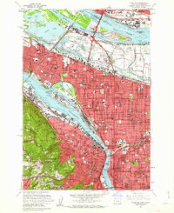
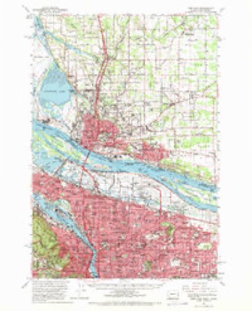
33 topographic sheets cover this place, the earliest surveyed in 1897 and the latest in 1990. It stands in the Portland West census division. It lies in ZIP code area 97209. It stands on Tanner Creek (historical). The Survey maps it on the Portland quadrangle. 652,503 people lived here at the 2020 count. It stands 499 feet above sea level.
Research this city
On record in Portland
Buildings and businesses the archive holds for this place. Each opens its own page, with the source record it came from.
On the National Register 12 of 613 shown
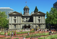 Pioneer CourthouseNational Historic Landmark · listed 1973
 Portland Skidmore/Old Town Historic DistrictNational Historic Landmark · listed 1975
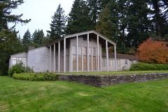 Aubrey R. Watzek HouseNational Historic Landmark · listed 1974
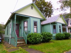 Simon Abraham Duplexlisted 1999
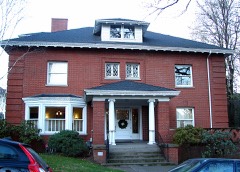 Charles F. Adams Houselisted 1981
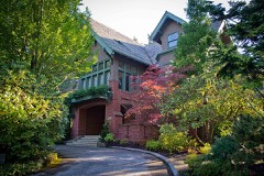 Maud and Belle Ainsworth Houselisted 1986
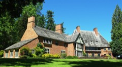 Albany Quadranglelisted 1979
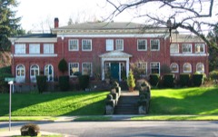 H. Russell Albee Houselisted 1992
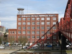 Albers Brothers Milling Companylisted 1984
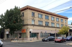 Alco Apartmentslisted 2017
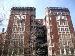 Ambassador Apartmentslisted 1979
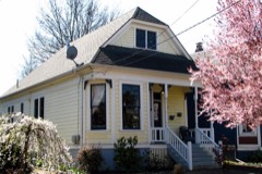 Frederick Ambruster Cottagelisted 2001
Population over time
2 figuresPortland grew from 583,776 to 652,503 between 2010 and 2020. These are the recorded population figures Wikidata holds for this place, reached through the Geographic Names Information System number this page is keyed on rather than by name, so they belong to this place and not to another of the same name. Most are census counts, but not all are: an early figure may be a founding or settlement estimate, and an estimate published within five years of a census is left out. The change column is computed, and is left blank where more than 20 years separate a figure from the one before it, because a gap that long is not a change between two counts.
| Year | People | Change |
|---|---|---|
| 2010 | 583,776 | |
| 2020 | 652,503 | +68,727 (+12%) |
Topographic sheets covering this place
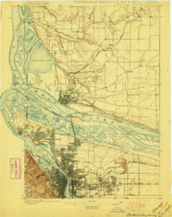
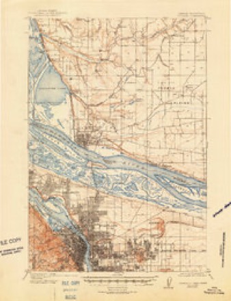
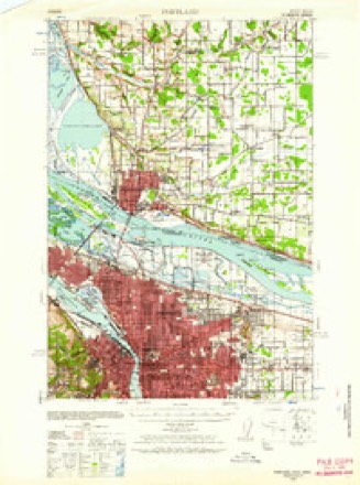
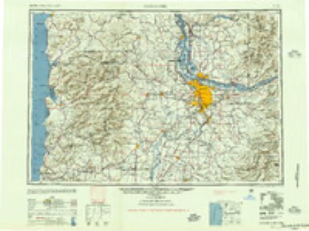
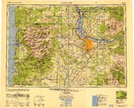
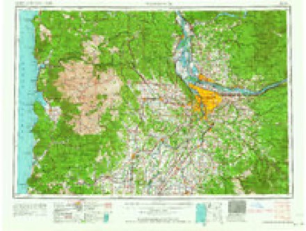
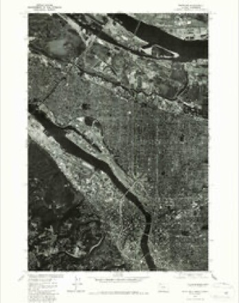
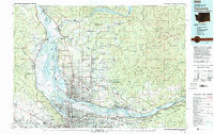
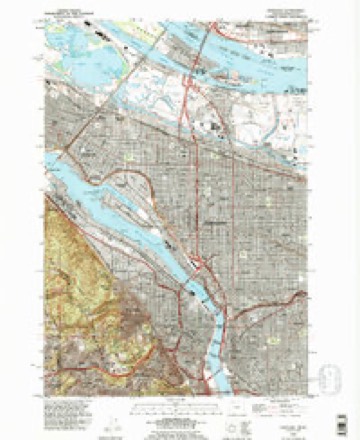
13 surveys from 33 printed sheetsMatched by testing this settlement's coordinate against the published boundary of every sheet in the United States Geological Survey's historical collection. Each opens the scanned sheet at the Survey.
- 1897 USGS Portland quadrangle1:62500, 2 printings
- 1905 USGS Portland quadrangle1:62500, 8 printings
- 1940 USGS Portland quadrangle1:62500, 4 printings
- 1948 USGS Vancouver quadrangle1:250000
- 1950 USGS Vancouver quadrangle1:250000, 2 printings
- 1954 USGS Portland quadrangle1:24000
- 1958 USGS Vancouver quadrangle1:250000, 3 printings
- 1961 USGS Portland quadrangle1:24000, 3 printings
- 1961 USGS Portland quadrangle1:62500, 3 printings
- 1964 USGS Vancouver quadrangle1:250000
- 1975 USGS Portland quadrangle1:24000, 2 printings
- 1979 USGS Vancouver quadrangle1:100000, 2 printings
- 1990 USGS Portland quadrangle1:24000
What the histories say of this town
668,836 words2 chapters about Portland from the published histories of the county, public domain and reproduced complete.
| Chapter | From | Length |
|---|---|---|
| History | History of Portland, Oregon : with Illustrations and Biographical Sketches of Prominent Citizens and Pioneers (1890) | 281,665 words in 18 parts |
| Portland, Oregon, Its History and Builders : in Connection with the An | Portland, Oregon, Its History and Builders : in Connection with the Antecedent Explorations, Discoveries, and Movements of the Pioneers That Selected the Site for the Great City of the Pacific (1911) | 387,171 words in 25 parts |
Fires near this place
1 since 2001Regional context, not property-specific evidence. The federal wildfire occurrence database lists 1 fire within 5 miles of Portland in 2001, burning about 7,500 acres in total. 1 started naturally. None was recorded as arson. Distance is straight-line from the map coordinates, so a fire counted here may appear on a neighbouring settlement's page as well.
| Reported cause | Fires |
|---|---|
| Natural | 1 |
The most recent of them, most recent first, with the day each was reported and the service that recorded it.
| Date | Cause | Size | Reported by | Name on the report |
|---|---|---|---|---|
| 13 July 2001 | Natural | 7,500 acres | Prineville District | STARVATION |
Settlements close enough to share some of these fires:
Mines and quarries near this place
10 of 43 shownRegional context, not property-specific evidence. The federal mineral resources record lists 43 workings within 5 miles of Portland: 31 past producers, 9 producers, 1 occurrence, 1 prospect. 9 still produce. What was taken out: Sand and Gravel, Construction, Clay, Stone, Crushed/Broken, Stone. Distance is straight-line from the map coordinates, so a quarry counted here may appear on a neighbouring settlement's page as well.
| Where | Site | Commodity | Status | Recorded |
|---|---|---|---|---|
| Limestone Quarry | Stone, Dimension | Past Producer | ||
| Portland Tunnel | Mercury | Occurrence | ||
| Portland Tunnel | Mercury | Prospect | ||
| City of Portland | Stone | Past Producer | ||
| City of Portland | Stone | Past Producer | ||
| Quarry | Stone | Past Producer | ||
| City of Portland | Stone, Crushed/Broken | Past Producer | ||
| City of Portland Pit | Stone, Crushed/Broken | Past Producer | ||
| City of Portland Pit | Stone, Crushed/Broken | Past Producer | ||
| Pacific Stoneware Co | Clay | Past Producer |
Storms near this place
16 since 1999Regional context, not property-specific evidence. The National Weather Service names Portland in 16 storm reports between 1999 and 2018: 6 heavy rain, 5 thunderstorm wind, 2 hail, 1 lightning. No death or injury is recorded in these reports. Each account below is quoted exactly as the forecast office filed it, from the NOAA Storm Events Database, and each date opens the federal record of that event.
| When | Event | Place named | Harm | What the report says |
|---|---|---|---|---|
| December 2015 | Heavy Rain | West Portland | $621,000 | Heavy rain resulted in urban flooding across the Portland metro area. All Amtrack and freight trains were shut down between Portland and Vancouver due to flooding. A mobile home park in Gresham flooded. There were a couple of land slides on Highway 30 where debris covered the highway. One of these slides was near German Town Road. The other slide was near the St John's Bridge, hit a car (with no injuries) as it happened, and covered all lanes of Highway 30. |
| October 2016 | Heavy Rain | Portland | $30,000 | Heavy rain caused culverts and low-lying urban areas to flood, including 4th and Morrison. Also flooding was reported at the Portland State University Bookstore. |
| May 2014 | Thunderstorm Wind | Portland | $11,000 | Winds from a thunderstorm resulted in a large Oak Tree falling on two parked cars in downtown Portland. |
| March 2015 | Heavy Rain | Portland | $6,000 | A mudslide crossed Northwest Marlborough Street into a residential garage after 3 to 6 inches of rain fell across Northwest Oregon. |
| September 2007 | Hail | Portland | $5,000 | Estimated half-inch hail fell near 162nd and Main. |
| July 2007 | Thunderstorm Wind | Portland | $5,000 | Reports received of strong wind resulting trees blown down in downtown Portland. |
| June 2009 | Thunderstorm Wind | Portland | $1,200 | The top of a 70-foot tree, estimated between 20 and 20 inches in diameter, was snapped off in downtown Portland at the intersection of SW Salmon Street and Park Avenue. A passer-by was nearly hit as it fell to the ground. Time of the event is estimated based nearby reports from the storm. |
| September 2018 | Heavy Rain | Portland | - | Standing water reported near NE 28th Ave between Glisan and Burnside. Trimet MAX lines were temporarily closed due to standing water between Lloyd Center and Hollywood. Rain guage at the Portland Airport reported 0.82 of an inch of rain. |
| July 2011 | Thunderstorm Wind | Portland | - | A thunderstorm moving through Multnomah County produced lightning that hit a tree which fell on power lines causing a power outage to about 1600 customers. |
| November 2009 | Heavy Rain | Portland | - | An observer reported receiving 0.98 inches in two and a half hours. |
| November 2009 | Flood | Portland | - | Major street flooding was reported at the intersection of 39th Avenue and Belmont Street, east of downtown Portland. |
| January 2007 | Heavy Rain | Portland | - | A total accumulation of 1.61 inches was reported at the WFO Portland. |
| August 1999 | Hail | Portland | - | A reporter from the Hillsboro Argus newspaper reported 3/4 inch hail near 33rd Ave and Columbia Boulevard in Portland. This is unusually large hail for the Portland area away from mountains or foothills. |
| May 2003 | Funnel Cloud | Portland | - | no account filed |
| May 2001 | Thunderstorm Wind | Portland | - | no account filed |
| August 1999 | Lightning | Portland | - | no account filed |
Nearest settlements
The eight closest, with where each one stands in the county. Distances are straight-line, computed from the Geographic Names Information System coordinates.
| Map | Place | Distance | Sheets |
|---|---|---|---|
| East Portland | 1.0 miles | 33 | |
| Albina | 1.4 miles | 33 | |
| Kings Heights | 1.7 miles | 33 | |
| Irvington | 1.7 miles | 33 | |
| Marquam Hill | 1.8 miles | 21 | |
| Portland Heights | 1.9 miles | 33 | |
| Willamette Heights | 2.3 miles | 33 | |
| South Portland (historical) | 2.5 miles | 21 |
Elsewhere
Matched on this settlement's Geographic Names Information System number rather than its name, so it cannot be a different place of the same name in another state.
| Wikipedia article on Portland | An encyclopaedic summary. Its text is share-alike, so it is linked here rather than copied. |
| Wikidata item Q6106 | The structured record the population and elevation above come from. Public domain (CC0). |
Provenance
This settlement is recorded in the Geographic Names Information System as feature 1136645. The sheet list is computed by point-in-boundary test against the United States Geological Survey's historical topographic inventory. Both are works of the United States government and carry no copyright under 17 U.S.C. 105.
Wildfire. Short, Karen C. 2022. Spatial wildfire occurrence data for the United States, 1992-2020 [FPA_FOD_20221014]. 6th Edition. Fort Collins, CO: Forest Service Research Data Archive. https://doi.org/10.2737/RDS-2013-0009.6 Collected with United States Government funding and usable without additional permissions or fees.
Mines and quarries. USGS Mineral Resources Data System (MRDS) https://mrdata.usgs.gov/mrds/ A work of the United States government, no copyright under 17 U.S.C. 105.
Storms. NOAA National Centers for Environmental Information, Storm Events Database https://www.ncei.noaa.gov/stormevents/ A work of the United States government, no copyright under 17 U.S.C. 105. Narratives are quoted verbatim from the National Weather Service report and are not edited or summarised.