 Block
Riverdale, Oregon
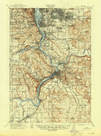
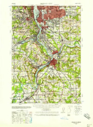
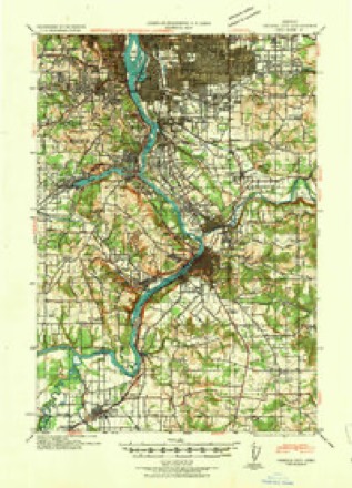
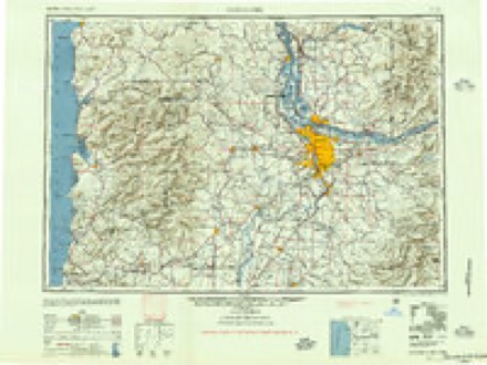
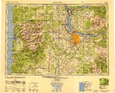
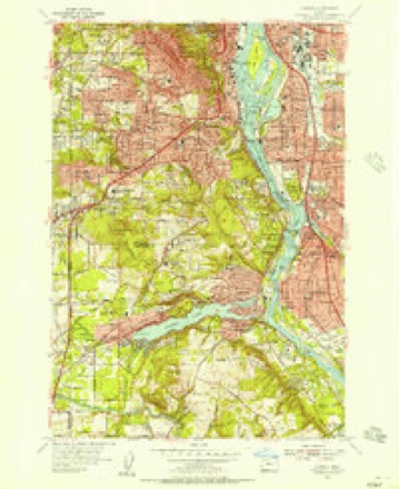
21 topographic sheets cover this place, the earliest surveyed in 1914 and the latest in 1982. It stands in the Portland West census division. It lies in ZIP code area 97219. It lies near Palatine Hill. The Survey maps it on the Lake Oswego quadrangle.
On record in Riverdale
Buildings and businesses the archive holds for this place. Each opens its own page, with the source record it came from.
On the National Register within a mile 12 records
The National Register names another town for these. They stand within one mile of this settlement's coordinate.
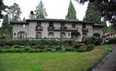 Dr. A. E. and Phila Jane Rockey Houselisted 1985 · 0.0 miles away
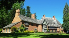 Albany Quadranglelisted 1979 · 0.3 miles away
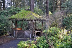 Rae Selling Berry Garden and Houselisted 2002 · 0.6 miles away
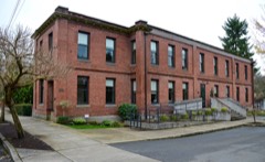 Portland Railway, Light and Power Sellwood Division Carbarn Office and Clubhouselisted 2002 · 0.6 miles away
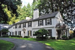 Donald and Ruth McGraw Houselisted 2001 · 0.8 miles away
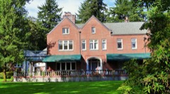 C. Hunt and Gertrude McClintock Lewis Houselisted 2015 · 0.8 miles away
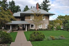 Whidden-Kerr House and Gardenlisted 1988 · 0.8 miles away
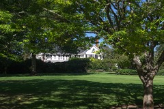 H. L. and Gretchen Hoyt Corbett Houselisted 1991 · 0.8 miles away
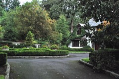 Percy A. Smith Houselisted 1991 · 1.0 miles away
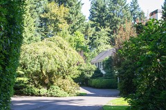 John V. G. Posey Houselisted 1990 · 1.0 miles away
- Judge Charles Henry and Mary Bidwell Carey Houselisted 2022 · 0.2 miles away
- Pierre Rossiter and Charlotte Hines Houselisted 2002 · 0.7 miles away
Topographic sheets covering this place
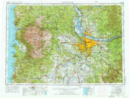
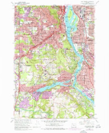
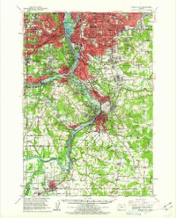
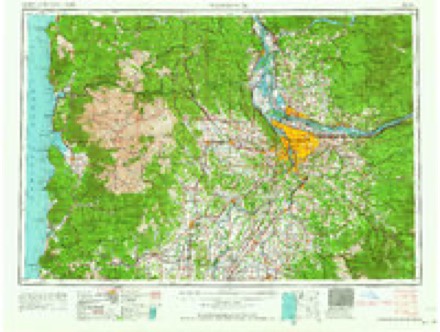
11 surveys from 21 printed sheetsMatched by testing this settlement's coordinate against the published boundary of every sheet in the United States Geological Survey's historical collection. Each opens the scanned sheet at the Survey.
- 1914 USGS Oregon City quadrangle1:62500, 4 printings
- 1939 USGS Oregon City quadrangle1:62500
- 1941 USGS Oregon City quadrangle1:62500
- 1948 USGS Vancouver quadrangle1:250000
- 1950 USGS Vancouver quadrangle1:250000, 2 printings
- 1954 USGS Oswego quadrangle1:24000
- 1958 USGS Vancouver quadrangle1:250000, 3 printings
- 1961 USGS Lake Oswego quadrangle1:24000, 5 printings
- 1961 USGS Oregon City quadrangle1:62500
- 1964 USGS Vancouver quadrangle1:250000
- 1982 USGS Oregon City quadrangle1:100000
Mines and quarries near this place
10 of 27 shownRegional context, not property-specific evidence. The federal mineral resources record lists 27 workings within 5 miles of Riverdale: 19 past producers, 8 producers. 8 still produce. What was taken out: Sand and Gravel, Construction, Stone, Stone, Crushed/Broken, Iron. Distance is straight-line from the map coordinates, so a quarry counted here may appear on a neighbouring settlement's page as well.
| Where | Site | Commodity | Status | Recorded |
|---|---|---|---|---|
| Oswego Iron Mine | Iron | Past Producer | 1867, 1894 | |
| Oswego Iron Mine | Iron | Past Producer | ||
| Grimms Fuel Co | Stone | Past Producer | ||
| Grimms Fuel Co. Pit | Stone, Crushed/Broken | Past Producer | ||
| Lake Oswego Cement Plant | Stone | Past Producer | ||
| Lake Oswego Pit and Plant | Stone, Crushed/Broken | Producer | ||
| Waluga Park | Stone | Past Producer | ||
| Waluga Park | Stone, Crushed/Broken | Past Producer | ||
| Blacktop Paving Co. | Sand and Gravel, Construction | Past Producer | ||
| Blacktop Paving Co. | Sand and Gravel, Construction | Producer |
Nearest settlements
The eight closest, with where each one stands in the county. Distances are straight-line, computed from the Geographic Names Information System coordinates.
| Map | Place | Distance | Sheets |
|---|---|---|---|
| Riverwood | 0.5 miles | 21 | |
| Sellwood | 1.1 miles | 21 | |
| Dunthorpe | 1.1 miles | 21 | |
| Carson Heights | 1.2 miles | 21 | |
| Kellogg Park | 1.3 miles | 21 | |
| Fulton (historical) | 1.5 miles | 21 | |
| Burlingame | 1.8 miles | 21 | |
| Westmoreland | 1.9 miles | 21 |
Provenance
This settlement is recorded in the Geographic Names Information System as feature 1136687. The sheet list is computed by point-in-boundary test against the United States Geological Survey's historical topographic inventory. Both are works of the United States government and carry no copyright under 17 U.S.C. 105.
Mines and quarries. USGS Mineral Resources Data System (MRDS) https://mrdata.usgs.gov/mrds/ A work of the United States government, no copyright under 17 U.S.C. 105.