BlockBefore
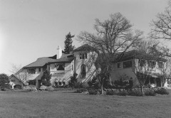
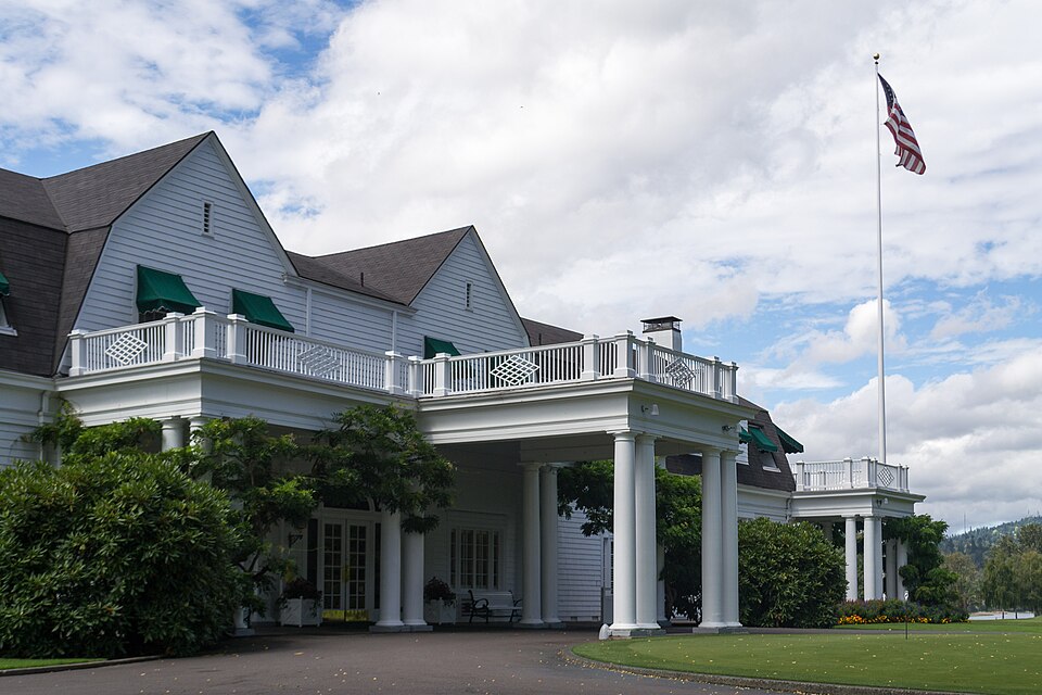
Photograph of Waverley Country Club
Photograph by Visitor7, CC BY-SA 3.0. Via Wikimedia Commons.

Waverley Country Club Clubhouse

Built in 1896. Listed on the National Register of Historic Places in 2013.

From the record

“The Waverley Country Club is a country club located in Clackamas County, Oregon, United States. Chartered in 1896, the club was the second private golf club established west of the Mississippi River.”

Wikipedia article Waverley Country Club, CC BY-SA 4.0.

One of 93 National Register listings published here for Clackamas County · listed in 2013 · category: Building · built in 1896, by Whitehouse & Fouilhoux.

Sources: the Wikipedia article · the National Register database, National Park Service
The listing

  • Address. 100 SE. Waverly Dr., Portland, 97219
  • When was it listed? March 2013
  • Category. building
  • When was it built? 1896
  • Architect. Whitehouse & Fouilhoux
  • National Register reference number. 13000118 - assigned by the National Park Service when the property was listed.

Mines and quarries near this property

10 of 27 shown

Regional context, not property-specific evidence. The federal mineral resources record lists 27 workings within 5 miles of Waverley Country Club Clubhouse: 19 past producers, 8 producers. 8 still produce. What was taken out: Sand and Gravel, Construction, Stone, Stone, Crushed/Broken, Iron. Distance is straight-line from the map coordinates, so a quarry counted here may appear on a neighbouring settlement's page as well.

Where SiteCommodity StatusRecorded
Oswego Iron MineIronPast Producer1867, 1894
Oswego Iron MineIronPast Producer
Grimms Fuel CoStonePast Producer
Grimms Fuel Co. PitStone, Crushed/BrokenPast Producer
Lake Oswego Cement PlantStonePast Producer
Lake Oswego Pit and PlantStone, Crushed/BrokenProducer
Waluga ParkStonePast Producer
Waluga ParkStone, Crushed/BrokenPast Producer
Blacktop Paving Co.Sand and Gravel, ConstructionPast Producer
Blacktop Paving Co.Sand and Gravel, ConstructionProducer

Every working recorded in Clackamas County

Map coverage status

No historic map-sheet match is published for this property yet. That does not mean no map exists. This record needs a coordinate-quality review before it can be joined to a sheet boundary. Browse the county's mapped places while that work is pending.

Listed places nearby

6 within 8 miles

Other National Register properties close enough to walk or drive between, ordered by distance from this one. Both positions come from the same geocoding pass that matched these properties to their map sheets.

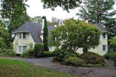
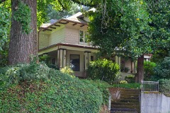
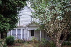
Photograph PropertyDistance Listed
Clarence E. Francis House0.8 miles1993
Hall-Chaney House1.0 miles1988
Sherrard-Fenton House1.5 miles1991
Andrew P. Wilson House1.7 miles1990
William Shindler House1.9 miles1990
Lawrence D. Bailey House2.1 miles1990

Sources for this property

National Archives recordThe nomination case file for reference 13000118 in Record Group 79.
Wikipedia articleCommunity-written account of this property, licensed CC BY-SA.
Clackamas CountyAll 93 listed properties in this county.

Provenance

  • Listing record. National Park Service National Register of Historic Places, listed-properties dataset, current to 2026-05-22.
  • Map join. Address geocoded through the United States Census geocoder, then tested against the published boundary of every sheet in the USGS Historical Topographic Map Collection.
  • How this page is made. Listing fields come from federal records; map-sheet coverage is a labelled coordinate-to-boundary calculation, not a source-field claim.
  • Mines and quarries. USGS Mineral Resources Data System (MRDS) https://mrdata.usgs.gov/mrds/ A work of the United States government, no copyright under 17 U.S.C. 105.