 Block
Block
Acoaxet, Massachusetts
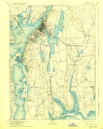
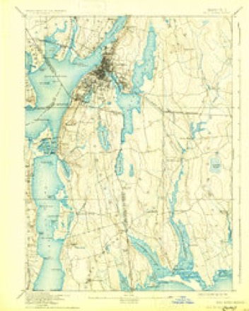
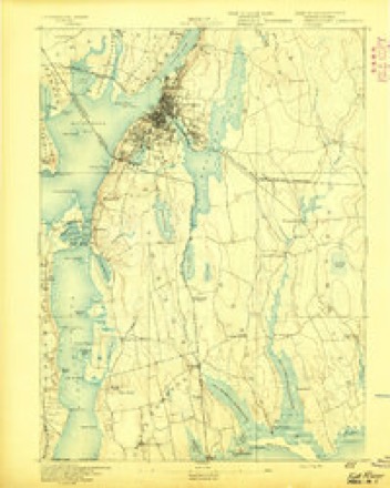
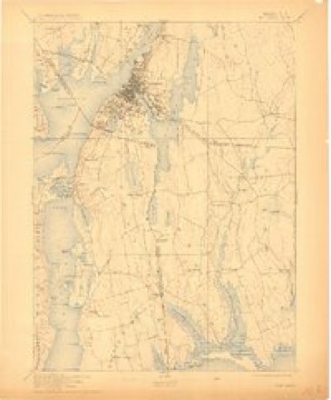
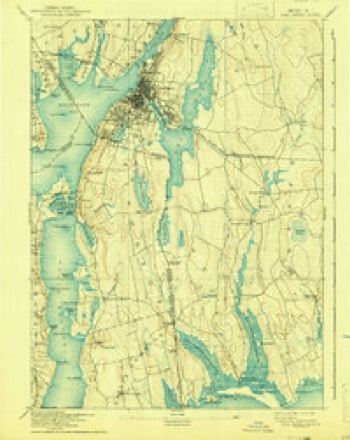
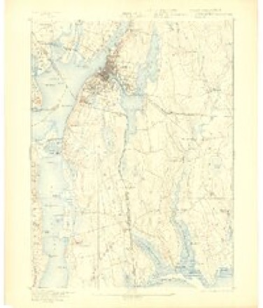
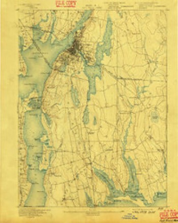
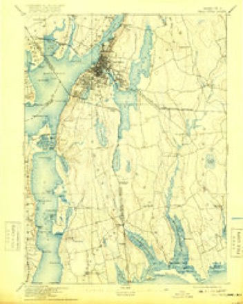
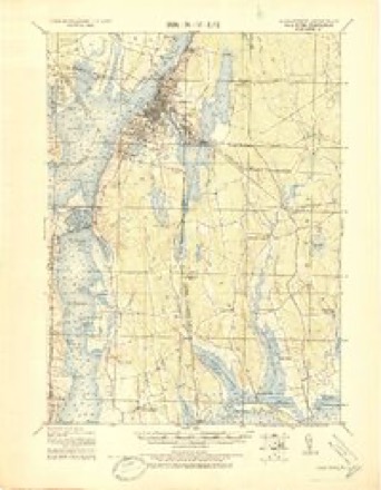
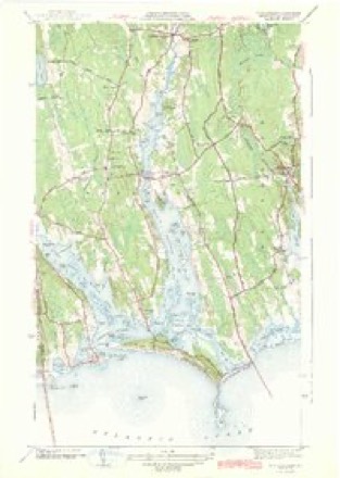
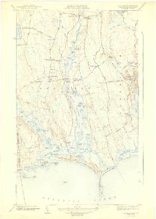
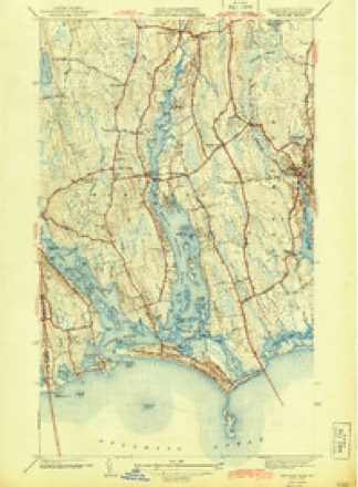
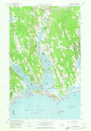
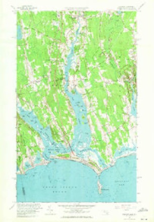
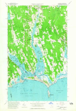
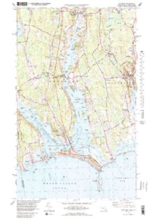
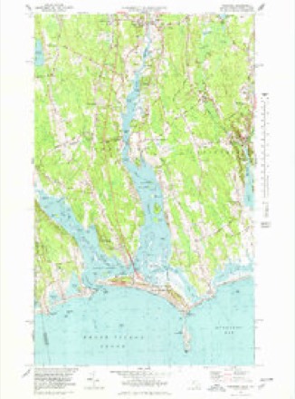
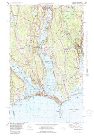
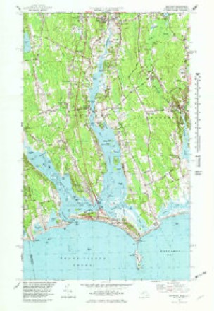
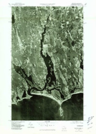
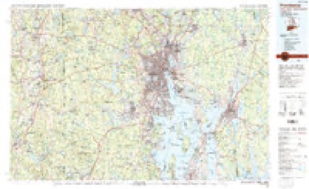
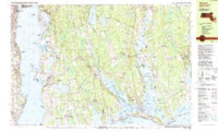
37 topographic sheets cover this place, the earliest surveyed in 1888 and the latest in 1985. It stands in Westport town. It lies in ZIP code area 02790. It stands on Lions Tongue. The Survey maps it on the Head of Westport quadrangle.
Then and now
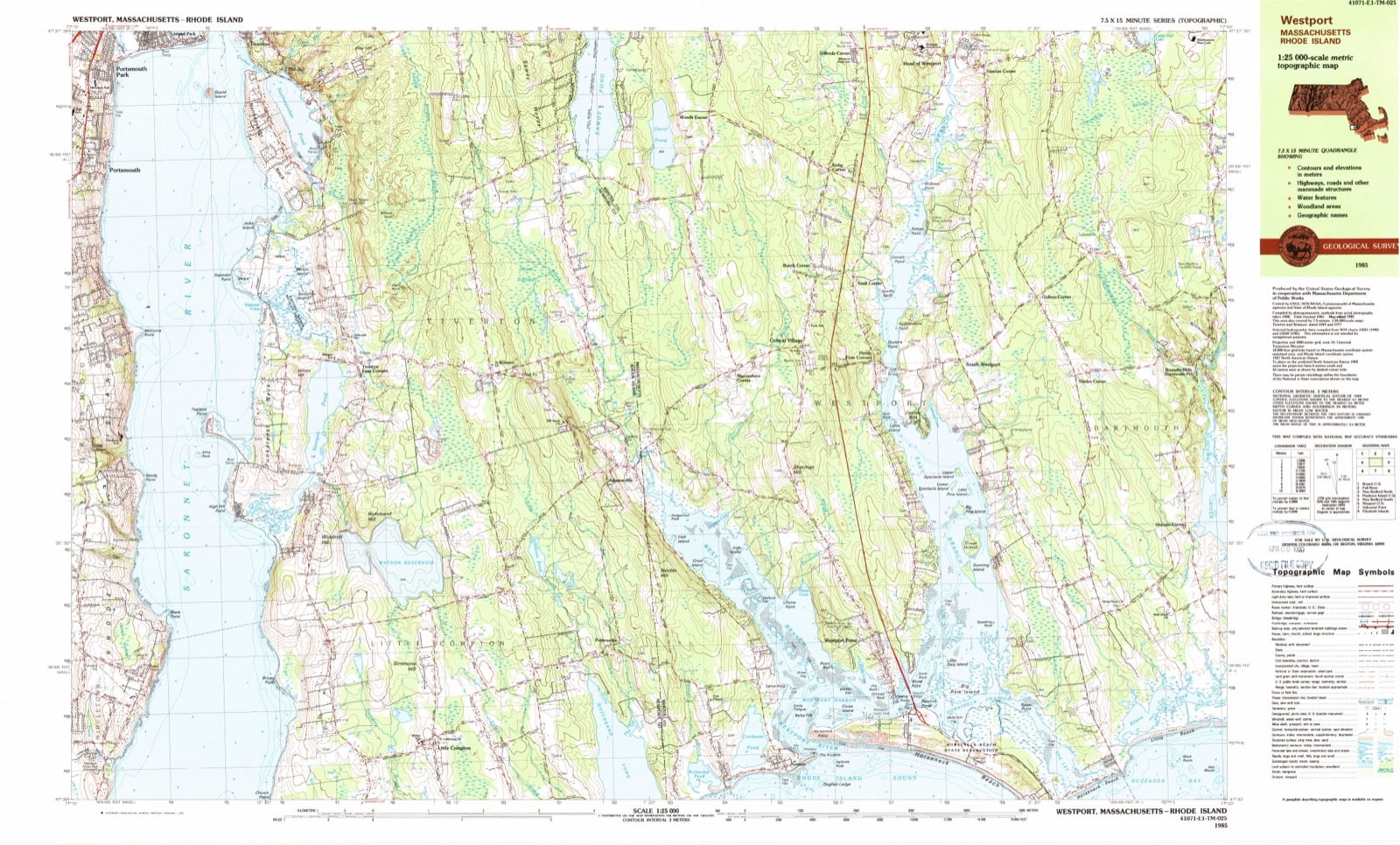
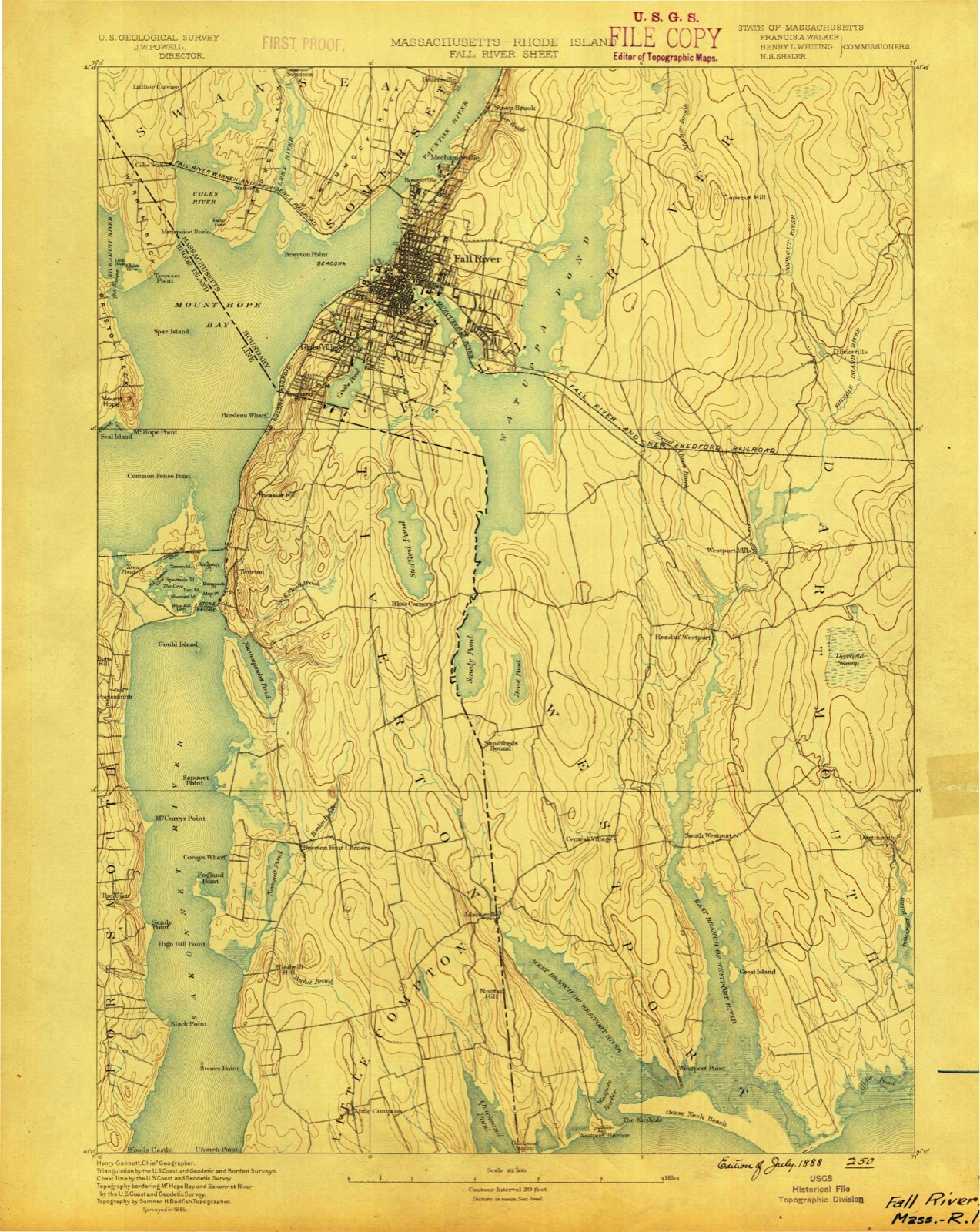
1888 to 1985The same ground, surveyed 97 years apart. Drag the handle to wipe between them. Both sheets are United States Geological Survey originals; neither has been altered.
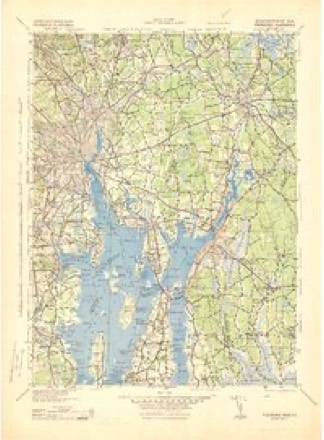
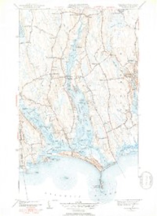
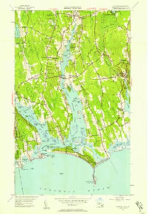
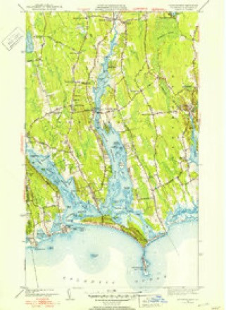
Topographic sheets covering this place
37 sheetsMatched by testing this settlement's coordinate against the published boundary of every sheet in the United States Geological Survey's historical collection. Each opens the scanned sheet at the Survey.
- 1888 USGS Fall River quadrangle1:62500
- 1893 USGS Fall River quadrangle1:62500
- 1893 USGS Fall River quadrangle1:62500
- 1893 USGS Fall River quadrangle1:62500
- 1893 USGS Fall River quadrangle1:62500
- 1893 USGS Fall River quadrangle1:62500
- 1893 USGS Fall River quadrangle1:62500
- 1893 USGS Fall River quadrangle1:62500
- 1893 USGS Fall River quadrangle1:62500
- 1893 USGS Fall River quadrangle1:62500
- 1919 USGS Fall River quadrangle1:62500
- 1942 USGS Westport quadrangle1:31680
- 1942 USGS Westport quadrangle1:31680
- 1942 USGS Westport quadrangle1:31680
- 1943 USGS Providence quadrangle1:125000
- 1947 USGS Providence quadrangle1:250000
- 1947 USGS Providence quadrangle1:250000
- 1947 USGS Providence quadrangle1:250000
- 1947 USGS Providence quadrangle1:250000
- 1947 USGS Providence quadrangle1:250000
- 1948 USGS Providence quadrangle1:250000
- 1951 USGS Westport quadrangle1:31680
- 1951 USGS Westport quadrangle1:24000
- 1951 USGS Westport quadrangle1:31680
- 1957 USGS Providence quadrangle1:250000
- 1958 USGS Providence quadrangle1:250000
- 1963 USGS Providence quadrangle1:250000
- 1963 USGS Westport quadrangle1:24000
- 1963 USGS Westport quadrangle1:24000
- 1963 USGS Westport quadrangle1:24000
- 1977 USGS Westport quadrangle1:24000
- 1977 USGS Westport quadrangle1:25000
- 1977 USGS Westport quadrangle1:24000
- 1977 USGS Westport quadrangle1:24000
- 1977 USGS Westport quadrangle1:25000
- 1984 USGS Providence quadrangle1:100000
- 1985 USGS Westport quadrangle1:25000









In the county-history sources
119,038 words on this townshipHistory of Bristol County, Massachusetts, with Biographical Sketches of Many of Its Pioneers and Prominent Men, published 1883; A History of Bristol County, Massachusetts (Vol. 2), published 1924 names this settlement in its chapter on Westport Town. These are the passages that mention it, exactly as the scans read.
In 1819 religious meetings were held at the Head of the River, when Peleg Sisson, Jonathan Mosher, George Mosher, Thaddeus Reynolds, Catharine Sowle, Sophia Tripp, Rachel Tripp, Susannah Lawton, Elizabeth Tripp, and Phebe Mosher, being in "fellowship, requested Elder Daniel Hix, of Dartmouth, to i meet with them, and, agreeable to their request, acknowledged them the First Christian Church in Westport, Mass." They continued to worship in private dwellings until the completion of their house of worship, which was erected under the following call :
Passage source: History of Bristol County, Massachusetts, with Biographical Sketches of Many of Its Pioneers and Prominent Men, published 1883.
"One of the most quiet, pleasing, and successful business villages in the vicinity of Fall River is Westport Factory, some six miles out from this city, on Westport River, in the town of Westport. A long time ago capital was invested there and a cotton-mill of medium size was erected, the power being furnished by a dam across Westport River. Some twenty or more years ago this property was purchased by Mr. William B. Trafford, who for some years previously had been associated with Mr. Augustus Chace, of this city, in manufacturing enterprises. Mr. Trafford reorganized the mill and infused a new life into every department, and it soon became a standing success. Mr. Trafford secured the best of help, discouraged the use of alcohol, encouraged the operatives to build themselves permanent homes, and in the history of the concern there has been no clashing between employer and employe on the questions of labor or wages. No strikes are said to afflict this concern, because the work-people are contented and satisfied. Many of them own their neat little homes, and on riding through the village a noticeable feature is the cleanliness of everything and the quietness surrounding the place. A neat little chapel has been erected, which is occupied half of each Sunday by a Protestant and the other half by a Roman Catholic preacher, if they choose to preach, and as there is no liquor-shop allowed, there is no drunkenness unless the victim buys his liquor abroad. In fact, it is a strict rule that the work-people must keep sober, and the rule is obeyed. Mr. William B. Trafford was a man of great public spirit, and paid out of his own pocket half the expenses of a new road from the Narrows to the Factory, three miles or more, some ten years ago. He died about 1880, but fortunately had reared his sons to the business. Within a year after his death the oldest son was thrown from his buggy and killed. Mr. Chapin Trafford, another son, now manages the concern. The business now carried on is buying the waste of the cotton-mills in Fall River and cheap cotton, and manufacturing cotton batting and yarn for cheap goods. All their supplies are hauled from this city, and the finished 'goods returned the same, and their heavy teams are quite a feature on our streets. The business has been highly profitable. Mr. Trafford, the manager, completed an elegant mansion in the Factory village last year, and lives neighbor to his operatives, but in elegant style. It is rare to find an established business that has done better than this in the same number of years."
Passage source: History of Bristol County, Massachusetts, with Biographical Sketches of Many of Its Pioneers and Prominent Men, published 1883.
relating to school affairs in this part of the town in the early days, there is no way of knowing about that arrangement. Previous to 1840 it is not possible to find the record of any purchase of land for school purposes in Westport. The schools throughout the town in 1923 were as follows: The high school, whose four-year arrangement had been completed in 1923; the schools at North Westport, Sanford Road, Beulah Road, Factory, Head, Brownell's Corner, Macomber's Corner, Point, South Westport, Horseneck, Acoaxet. There were 774 pupils, and the amount of appropriation for schools maintenance was $45,000. Edward L. Hill was the superintendent.
Passage source: A History of Bristol County, Massachusetts (Vol. 2), published 1924.
Machine-read from a century-old scan, so expect the errors a machine makes: misspelled names, dropped words, stray characters.
Read the whole chapter on Westport Town - it names this place 8 more 8 times.
Fires near this place
18 since 2008Regional context, not property-specific evidence. The federal wildfire occurrence database lists 18 fires within 5 miles of Acoaxet between 2008 and 2020, burning about 12 acres in total. None started naturally. 3 were recorded as arson. Distance is straight-line from the map coordinates, so a fire counted here may appear on a neighbouring settlement's page as well.
| Reported cause | Fires |
|---|---|
| Missing data/not specified/undetermined | 9 |
| Debris and open burning | 4 |
| Arson/incendiarism | 3 |
| Power generation/transmission/distribution | 1 |
| Misuse of fire by a minor | 1 |
The most recent of them, most recent first, with the day each was reported and the service that recorded it.
| Date | Cause | Size | Reported by | Name on the report |
|---|---|---|---|---|
| 1 June 2015 | Missing data/not specified/undetermined | 1.0 acres | Massachusetts Bureau of Forest Fire Control | not named |
| 7 May 2020 | Missing data/not specified/undetermined | 1.2 acres | Massachusetts Bureau of Forest Fire Control | not named |
| 4 May 2017 | Arson/incendiarism | under an acre | Massachusetts Bureau of Forest Fire Control | not named |
| 19 May 2020 | Debris and open burning | 1.5 acres | Rhode Island Division of Forest Environment | not named |
| 11 May 2016 | Missing data/not specified/undetermined | under an acre | Massachusetts Bureau of Forest Fire Control | not named |
| 8 April 2008 | Missing data/not specified/undetermined | 1.0 acres | Rhode Island Division of Forest Environment | not named |
| 4 April 2019 | Arson/incendiarism | under an acre | Massachusetts Bureau of Forest Fire Control | not named |
| 22 April 2018 | Debris and open burning | 1.5 acres | Massachusetts Bureau of Forest Fire Control | not named |
Settlements close enough to share some of these fires:
Specimens collected near this place
12 of 1,707 shownRegional context, not property-specific evidence. Museums hold 1,707 specimens collected within 10 miles of Acoaxet between 1846 and 1975: 744 Animalia, 702 Plantae, 142 Chromista, 92 Fungi, 21 Bacteria, 6 Unrecorded. 12 distinct Species records are shown. Collected by 99121, A. Clark, A. M. Rogers; D. P. Rogers and others. Each is a physical object with a catalogue number, and each entry opens the museum's record. This is what was collected and kept, not a survey of what lives here - nothing can be concluded from a species being absent.
| Image | Species | Year | Collected by | Where, as recorded |
|---|---|---|---|---|
 | Bangia fuscopurpurea (Dillwyn) Lyngbye | 1846 | Illegible | Sauconnet Point, RI |
 | Ptilota elegans Bonnemaison | 1846 | none seen | Sauconnet Point, Little Compton, RI |
 | Ahnfeltia plicata (Huds.) Fr. | 1851 | G. W. Fahnstock | Seaconnet |
 | Ceramium rubrum C.Agardh | 1854 | M. E. Fahnestock | Seaconnet |
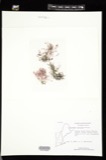 | Ceramium strictum (Kütz.) Rabenh., 1847 | 1854 | Mary E. Fahuestock | Seaconnet |
 | Champia parvula (C.Agardh) Harv. | 1854 | Mary E. Fahuestock | Seaconnet |
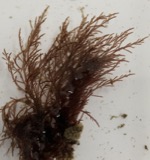 | Chondria baileyana Montagne | 1854 | M. E. Fahuestock | Seaconnet, RI |
 | Chordaria flagelliformis (O.F.Müll.) C.Agardh | 1854 | M. E. Fahuestock | Seaconnet |
 | Cladophora refracta (Roth) Kütz. | 1854 | Mary E. Fahuestock | Seaconnet |
| Cystoclonium purpurascens (Hudson) Kützing | 1854 | M. E. Fahnestock | Seaconnet | |
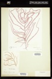 | Dasya elegans (G.Martens) C.Agardh | 1854 | M. E. Fahnestock | Seaconnet |
| Ectocarpus confervoides Le Jol. | 1854 | M. E. Fahnestock | Seaconnet |
All 1,707 specimens within 10 miles, at the Global Biodiversity Information Facility.
Nearest settlements
The eight closest, with where each one stands in the county. Distances are straight-line, computed from the Geographic Names Information System coordinates.
| Map | Place | Distance | Sheets |
|---|---|---|---|
| Westport Point | 1.6 miles | 37 | |
| Macombers Corner | 4.3 miles | 37 | |
| Handy Four Corners | 4.5 miles | 37 | |
| Central Village | 4.6 miles | 37 | |
| South Westport | 4.9 miles | 37 | |
| Slocums Corner | 5.3 miles | 37 | |
| Slades Corner | 5.5 miles | 37 | |
| Snell Corner | 5.5 miles | 37 |
Elsewhere
Matched on this settlement's Geographic Names Information System number rather than its name, so it cannot be a different place of the same name in another state.
| Wikidata item Q122540379 | The structured record the population and elevation above come from. Public domain (CC0). |
Provenance
This settlement is recorded in the Geographic Names Information System as feature 606711. The sheet list is computed by point-in-boundary test against the United States Geological Survey's historical topographic inventory. Both are works of the United States government and carry no copyright under 17 U.S.C. 105.
Wildfire. Short, Karen C. 2022. Spatial wildfire occurrence data for the United States, 1992-2020 [FPA_FOD_20221014]. 6th Edition. Fort Collins, CO: Forest Service Research Data Archive. https://doi.org/10.2737/RDS-2013-0009.6 Collected with United States Government funding and usable without additional permissions or fees.
Specimens. Global Biodiversity Information Facility (GBIF), https://www.gbif.org/. Only records licensed CC0 or CC BY are used. Records licensed CC BY-NC are excluded because this site carries advertising. Images are checked individually and any whose licence is non-commercial, no-derivatives or unreadable is refused.