 Block
Ashbury Towers, Ohio
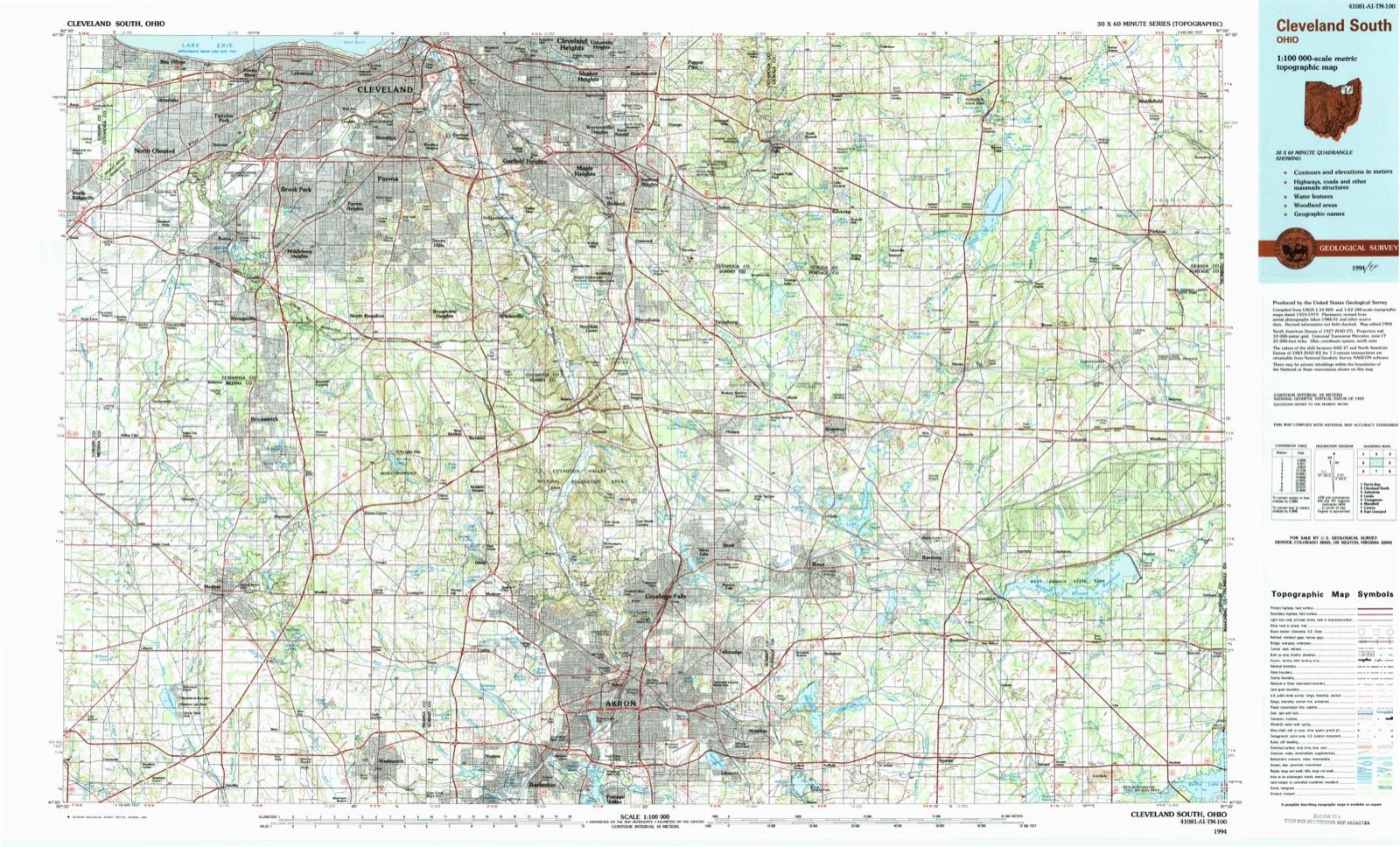
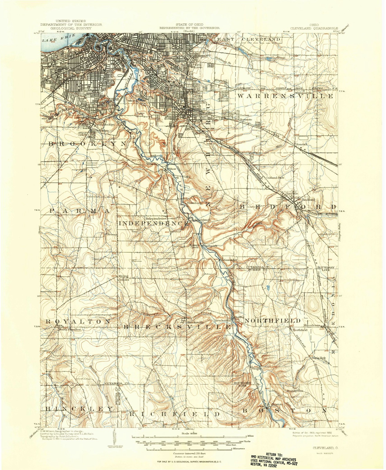
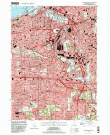
16 topographic sheets cover this place, the earliest surveyed in 1903 and the latest in 1994. It stands in Cleveland City. It lies in ZIP code area 44102. It lies near Whiskey Island. The Survey maps it on the Cleveland South quadrangle.
Then and now
1903 to 1994The same ground, surveyed 91 years apart. Drag the handle to wipe between them. Both sheets are United States Geological Survey originals; neither has been altered.
On record in Ashbury Towers
Buildings and businesses the archive holds for this place. Each opens its own page, with the source record it came from.
On the National Register within a mile 12 of 19 shown
The National Register names another town for these. They stand within one mile of this settlement's coordinate.
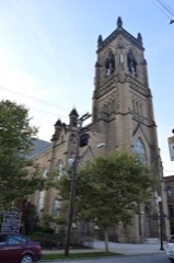 St. Stephen Churchlisted 1977 · 0.4 miles away
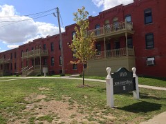 Oppmann Terracelisted 2012 · 0.6 miles away
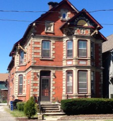 James Hill Houselisted 1994 · 0.6 miles away
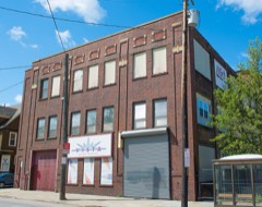 Tinnerman Steel Range Companylisted 2017 · 0.7 miles away
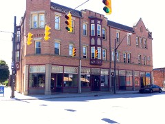 Courtland, Thelisted 2000 · 0.8 miles away
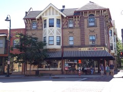 Kennedy Apartments and Commercial Blocklisted 1989 · 0.8 miles away
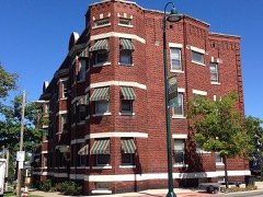 Harp Apartmentslisted 2000 · 0.9 miles away
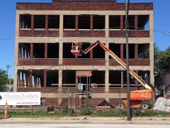 Templin-Bradley Companylisted 2013 · 0.9 miles away
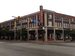 Gordon Square Buildinglisted 1985 · 0.9 miles away
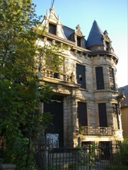 Hannes Tiedemann Houselisted 1982 · 0.9 miles away
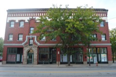 Miller Blocklisted 1984 · 0.9 miles away
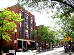 Ohio City Preservation District (Boundary Increase)listed 1989 · 0.9 miles away
Topographic sheets covering this place
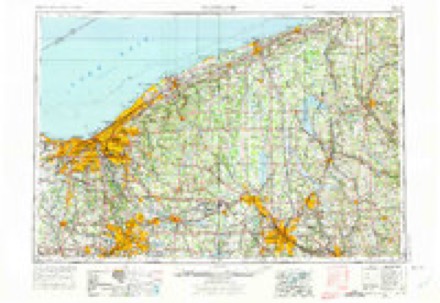
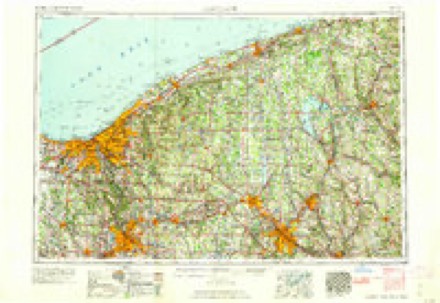
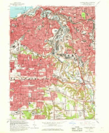
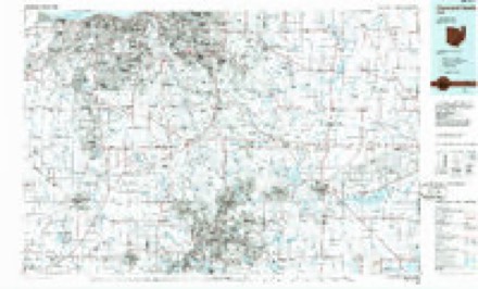
8 surveys from 16 printed sheetsMatched by testing this settlement's coordinate against the published boundary of every sheet in the United States Geological Survey's historical collection. Each opens the scanned sheet at the Survey.
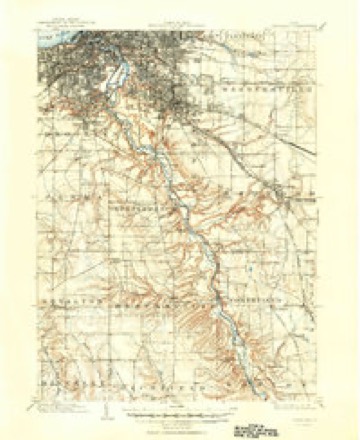
- 1903 USGS Cleveland quadrangle1:62500, 2 printings
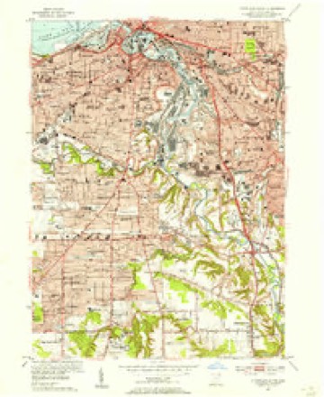
- 1953 USGS Cleveland South quadrangle1:24000
- 1956 USGS Cleveland quadrangle1:250000, 3 printings
- 1962 USGS Cleveland quadrangle1:250000
- 1963 USGS Cleveland South quadrangle1:24000, 6 printings
- 1986 USGS Cleveland South quadrangle1:100000
- 1994 USGS Cleveland South quadrangle1:24000
- 1994 USGS Cleveland South quadrangle1:100000
In the county-history sources
23,212 words on this townshipHistory of Cuyahoga County Ohio, published 1870 has no passage naming this settlement, which was common for smaller places. Its township is covered in full.
The chapter on Cleveland City covers the township.
Read the chapter on Cleveland City - 23,212 words.
Specimens collected near this place
12 of 2,815 shownRegional context, not property-specific evidence. Museums hold 2,815 specimens collected within 10 miles of Ashbury Towers between 1849 and 1975: 2,382 Animalia, 223 Fungi, 127 Plantae, 77 Protozoa, 5 Unrecorded, 1 Chromista. 12 distinct Species records are shown. Collected by A. D. Huryn, A. D. Selby, A. G. Newhall and others. Each is a physical object with a catalogue number, and each entry opens the museum's record. This is what was collected and kept, not a survey of what lives here - nothing can be concluded from a species being absent.
| Image | Species | Year | Collected by | Where, as recorded |
|---|---|---|---|---|
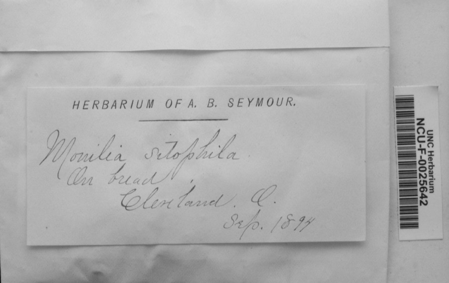 | Monilia sitophila (Mont.) Sacc. | 1894 | Seymour, Arthur Bliss | Cleveland, O. [Ohio] |
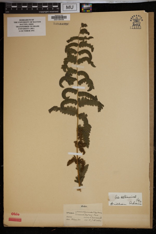 | Osmunda claytoniana L. | 1894 | Winkler, H.J. | Cleveland. |
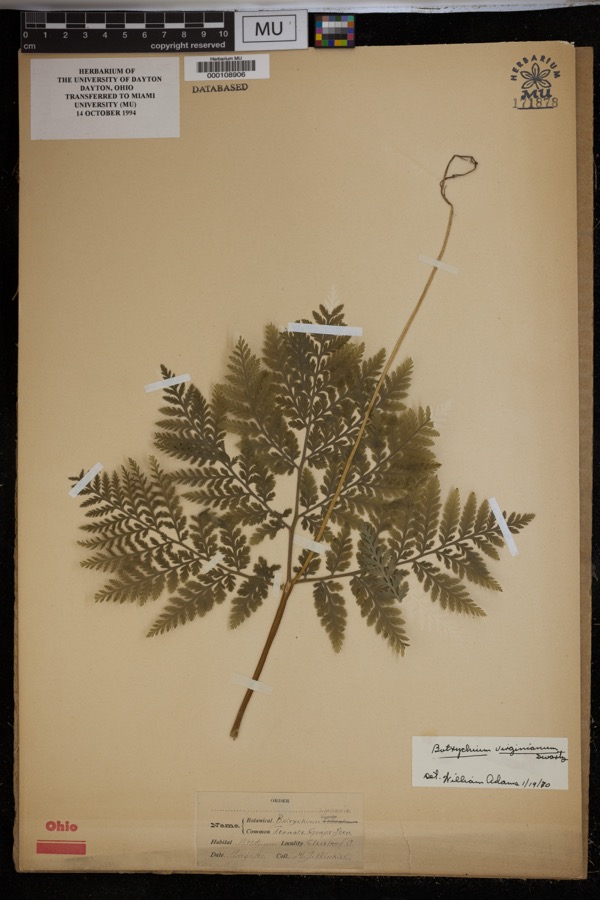 | Botrychium virginianum (L.) Sw. | 1897 | Winkler, H.J. | Woods, Cleveland. |
 | Setophaga americana (Linnaeus, 1758) | 1849 | Jared P. Kirtland | Rockport |
| Boraginaceae | 1850 | not recorded | Cleveland. | |
 | Carex canescens L. | 1850 | Illegible collector name | Cleveland. |
 | Catillaria tricolor (Lam.) Th.Fr. | 1854 | G. Dixon | Cleveland, Bousdale Hill |
 | Melanerpes carolinus (Linnaeus, 1758) | 1854 | Robert Kennicott | Cleveland |
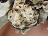 | Abrothallus parmeliarum (Sommerf.) Nyl., 1869 | 1860 | Mudd Wm. | Cleveland |
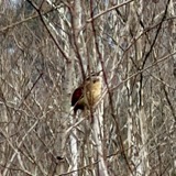 | Thryothorus ludovicianus ludovicianus (Latham, 1790) | 1860 | not recorded | Cleveland |
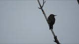 | Colaptes auratus luteus Bangs, 1898 | 1871 | Collector(s): unknown | Cleveland |
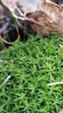 | Timmia megapolitana Hedw. | 1871 | E. N. Claassen |
All 2,815 specimens within 10 miles, at the Global Biodiversity Information Facility.
Mines and quarries near this place
10 of 20 shownRegional context, not property-specific evidence. The federal mineral resources record lists 20 workings within 5 miles of Ashbury Towers: 10 unknowns, 6 producers, 3 past producers, 1 plant. 7 still produce. What was taken out: Iron, Zirconium, Silica, Halite. Distance is straight-line from the map coordinates, so a quarry counted here may appear on a neighbouring settlement's page as well.
| Where | Site | Commodity | Status | Recorded |
|---|---|---|---|---|
| (Facility) Hanna Nickel Smelter/ Cleveland, Oh | Nickel | Plant | ||
| Brush Wellman/ Cleveland, Ohio | Beryllium | Producer | ||
| Cleveland Mine | Halite | Past Producer | Halite | |
| Cleveland Mine | Salt | Producer | ||
| Cuyahoga Lime Company Plant | Calcium | Producer | ||
| Dock Number 1, Whiskey Island Mill | Sand and Gravel, Construction | Past Producer | Sedimentary | |
| Great Lakes-St Lawrence/ Cleveland | Fluorine-Fluorite | Producer | ||
| Mcgean Chemical/ Cleveland, Ohio | Antimony | Unknown | ||
| Metallurgical Inc/ Cleveland, Ohio | Iron, Aluminum | Unknown | ||
| N. L. Industries | Lead | Unknown |
Nearest settlements
The eight closest, with where each one stands in the county. Distances are straight-line, computed from the Geographic Names Information System coordinates.
| Map | Place | Distance | Sheets |
|---|---|---|---|
| Ohio City | 0.9 miles | 16 | |
| Navy Park Housing Project (historical) | 1.5 miles | 16 | |
| Lakeview Terrace | 1.5 miles | 16 | |
| Cudell | 1.6 miles | 21 | |
| The Angle | 1.7 miles | 16 | |
| Tremont | 2.1 miles | 16 | |
| Valleyview Homes (historical) | 2.3 miles | 16 | |
| Cleveland | 2.3 miles | 16 |
Elsewhere
Matched on this settlement's Geographic Names Information System number rather than its name, so it cannot be a different place of the same name in another state.
| Wikidata item Q122565448 | The structured record the population and elevation above come from. Public domain (CC0). |
Provenance
This settlement is recorded in the Geographic Names Information System as feature 2087927. The sheet list is computed by point-in-boundary test against the United States Geological Survey's historical topographic inventory. Both are works of the United States government and carry no copyright under 17 U.S.C. 105.
Specimens. Global Biodiversity Information Facility (GBIF), https://www.gbif.org/. Only records licensed CC0 or CC BY are used. Records licensed CC BY-NC are excluded because this site carries advertising. Images are checked individually and any whose licence is non-commercial, no-derivatives or unreadable is refused.
Mines and quarries. USGS Mineral Resources Data System (MRDS) https://mrdata.usgs.gov/mrds/ A work of the United States government, no copyright under 17 U.S.C. 105.