 Block
Block
Big Plain, Ohio
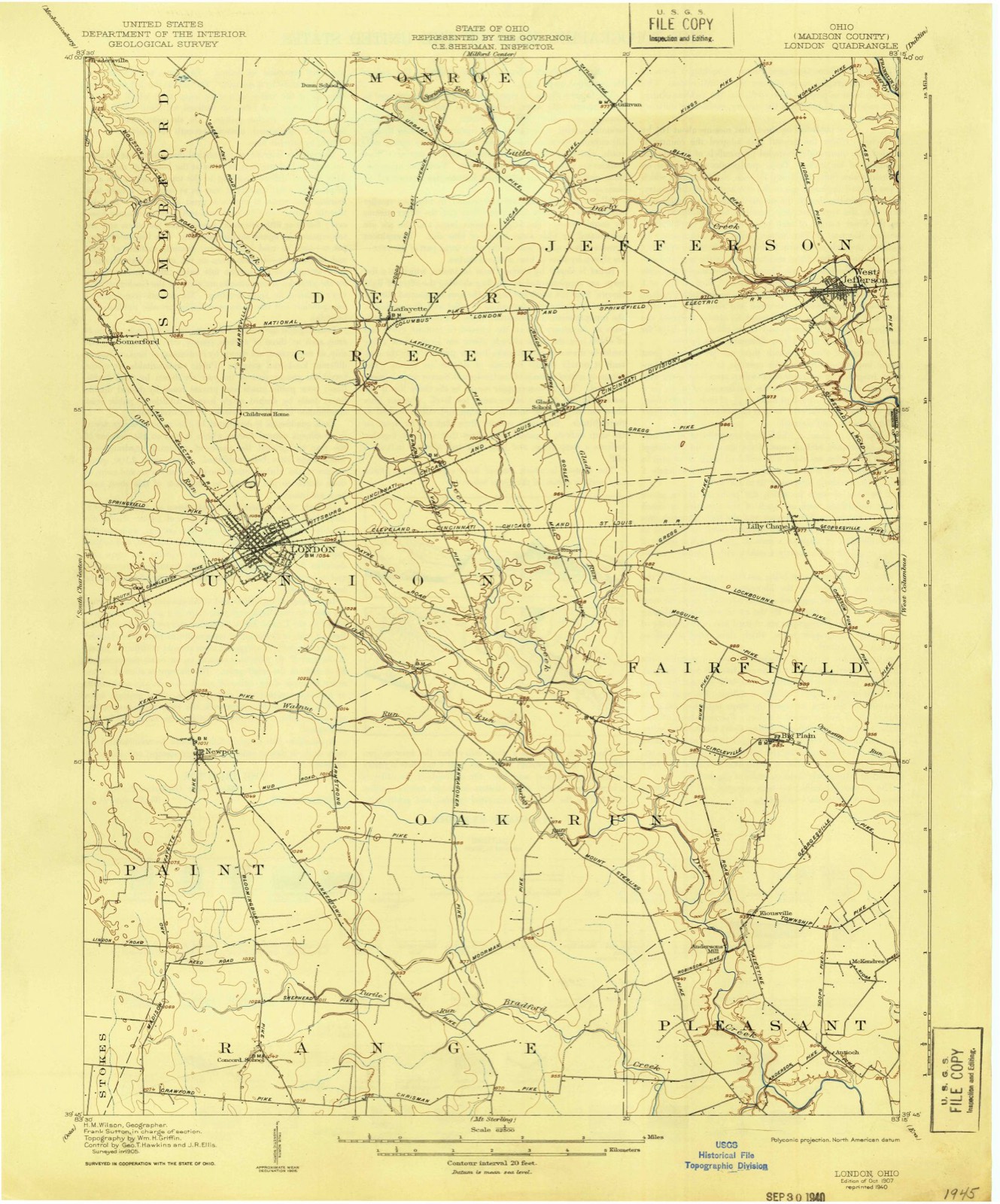
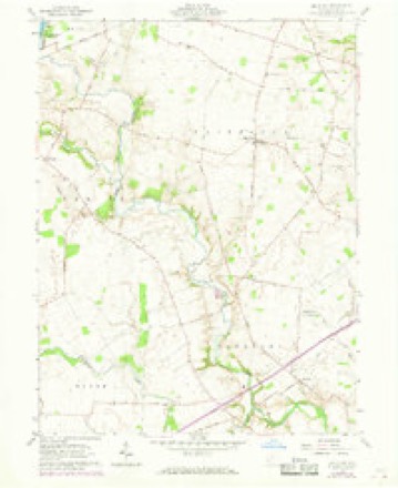
11 topographic sheets cover this place, the earliest surveyed in 1907 and the latest in 1986. It stands in Fairfield Township. It lies in ZIP code area 43140. The Survey maps it on the Big Plain quadrangle. It stands 984 feet above sea level.
Then and now
1907 to 1986The same ground, surveyed 79 years apart. Drag the handle to wipe between them. Both sheets are United States Geological Survey originals; neither has been altered.

Topographic sheets covering this place
11 sheetsMatched by testing this settlement's coordinate against the published boundary of every sheet in the United States Geological Survey's historical collection. Each opens the scanned sheet at the Survey.
- 1907 USGS London quadrangle1:62500
- 1907 USGS London quadrangle1:62500
- 1947 USGS Columbus quadrangle1:250000
- 1961 USGS Big Plain quadrangle1:24000
- 1961 USGS Big Plain quadrangle1:24000
- 1961 USGS Columbus quadrangle1:250000
- 1962 USGS Columbus quadrangle1:250000
- 1967 USGS Columbus quadrangle1:250000
- 1967 USGS Columbus quadrangle1:250000
- 1986 USGS Springfield quadrangle1:100000
- 1986 USGS Springfield quadrangle1:100000







In the county-history sources
5,606 words on this townshipHistory of Madison County, Ohio : Its People, Industries and Institution with Biographical Sketches of Representative Citizens and Genealogical Records of Many of the Old Families, published 1915 names this settlement in its chapter on Fairfield Township. These are the passages that mention it, exactly as the scans read.
David Dennison settled in 1807 on Oppossum run. He died on October 1, 1823. Jonathan Benjamin, who settled on land in this township, was a native of New Jersey. Isaac and Daniel Long settled in this locality in 180S; the latter was a preacher in the New Light church. William Ware came from Kentucky, about 1810 or 1812, and settled on the tract of land now occupied by the village of Big Plain. He served as sheriff of the county and was quite a leading, prominent man of the day. James Blair, who was known to every one as "Big Jim," came from Kentucky and settled here about 1813. He died on September 20, 1816, and his remains were interred in the Fitzgerald cemetery. About 1815 Robert Thomas, a native of Virginia, settled on a tract of land just east of Big Plain, but which was then known as California. Thomas Dennison settled in this township in 1815. Charles Henderson, a native of Virginia, came to this county with a surveying party as a chain carrier, and remained a permanent settler here. Richard Newland settled here about ISIS. Joseph Jackson came from New Jersey to Cincinnati in 1818. In 1819, he settled near London, and, in 1820, removed to Fairfield township, where he resided until his death, in January, 1S61, aged eighty-three years. He was a successful hunter, knew just where to look for the game, and yet he never let hunting interfere with his other business, although it was quite profitable to him. He fully experienced the hardships of pioneer life. He worked for twenty-five cents per day, sold corn for ten to twenty cents per bushel, bacon for one dollar and twenty-five cents per hundred pounds, and chopped and split rails for twenty-five cents per hundred.
Passage source: History of Madison County, Ohio : Its People, Industries and Institution with Biographical Sketches of Representative Citizens and Genealogical Records of Many of the Old Families, published 1915.
John Shepherd was born in Virginia and, accompanied by his wife Judy, came to Ohio soon after the War of 1812, settling in Ross county. About 1831 he came to Madison county and settled near California, now Big Plain, and here resided until his death, on August 18, 1850. aged seventy-five years. His wife died about 1869, aged sixty-eight years. He was a soldier in the War of 1812. He was a prosperous farmer, a worthy neighbor and a devout member of the Methodist Episcopal church. Daniel C. Freeman was born in Belmont county, Ohio, July 28, 1S02, his ancestors being from Ireland. In 1833, he became a resident of Fairfield township and was thoroughly identified with her growth and interests. At the organization of the township, in 1835. he became the first clerk. He was a resident of this township for over a half a century.
Passage source: History of Madison County, Ohio : Its People, Industries and Institution with Biographical Sketches of Representative Citizens and Genealogical Records of Many of the Old Families, published 1915.
Machine-read from a century-old scan, so expect the errors a machine makes: misspelled names, dropped words, stray characters.
Specimens collected near this place
12 of 552 shownRegional context, not property-specific evidence. Museums hold 552 specimens collected within 10 miles of Big Plain between 1885 and 1975: 453 Animalia, 59 Fungi, 38 Plantae, 2 Unrecorded. 12 distinct Species records are shown. Collected by A. Spreitzer, B. Fink, Betz, E. and others. Each is a physical object with a catalogue number, and each entry opens the museum's record. This is what was collected and kept, not a survey of what lives here - nothing can be concluded from a species being absent.
| Image | Species | Year | Collected by | Where, as recorded |
|---|---|---|---|---|
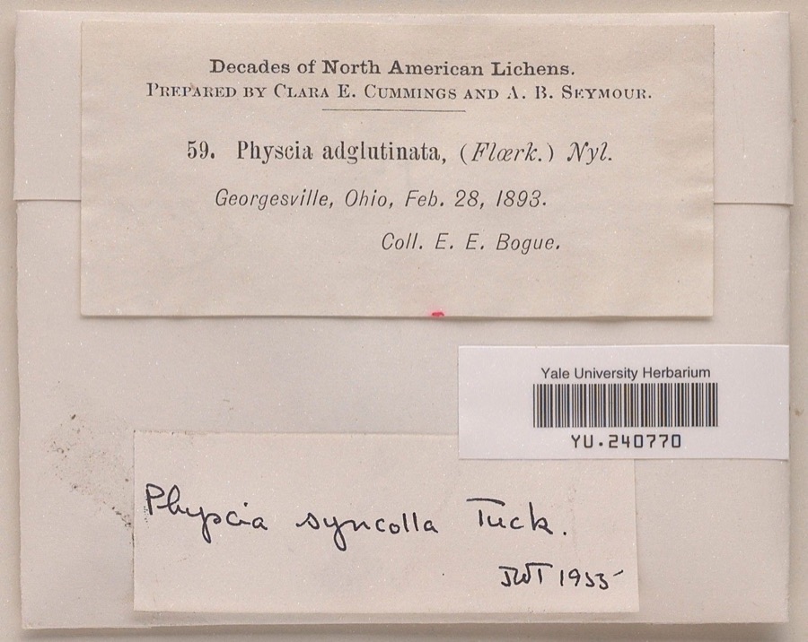 | Physcia syncolla Tuck. ex Nyl. | 1893 | Ernst E. Bogue | |
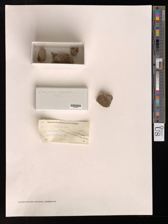 | Caloplaca sideritis (Tuck.) Zahlb. | 1894 | E. Bogue | Georgesville. |
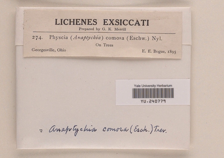 | Anaptychia comosa (Eschw.) A.Massal. | 1895 | Ernst E. Bogue | |
 | Chiloscyphus ascendens (Wilson & Hook.) Sull. | 1885 | W. C. Werner | Georgesville |
 | Buteo jamaicensis borealis (Gmelin, 1788) | 1889 | Hine, J. S. (James Stewart) | London, Madison, Ohio, USA |
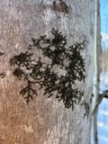 | Frullania eboracensis Lehm. | 1890 | W. C. Werner | Georgesville |
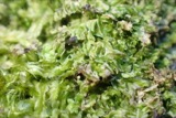 | Lophocolea heterophylla (Schrad.) Dumort. | 1890 | W. C. Werner | Georgesville |
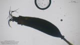 | Tortella humilis (Hedw.) Jenn. | 1890 | W. C. Werner | Georgesville |
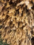 | Anomodon minor (Hedw.) Lindb. | 1891 | W. C. Werner | |
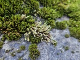 | Hedwigia ciliata (Hedw.) P.Beauv. | 1891 | W. C. Werner | Georgesville |
| Leskea gracilescens Hedw. | 1891 | W. C. Werner | ||
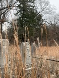 | Andropogon gerardi Vitman | 1892 | Werner, W.C. | Georgeville |
All 552 specimens within 10 miles, at the Global Biodiversity Information Facility.
Mines and quarries near this place
5 within 5 milesRegional context, not property-specific evidence. The federal mineral resources record lists 5 workings within 5 miles of Big Plain: 5 past producers. None of them still produces. What was taken out: Sand and Gravel, Construction. Distance is straight-line from the map coordinates, so a quarry counted here may appear on a neighbouring settlement's page as well.
| Where | Site | Commodity | Status | Recorded |
|---|---|---|---|---|
| Skyview Sand and Gravel Pit | Sand and Gravel, Construction | Past Producer | Sedimentary | |
| Skyview Sand and Gravel Pit | Sand and Gravel, Construction | Past Producer | ||
| Van Camp Sand and Gravel Pit | Sand and Gravel, Construction | Past Producer | Sedimentary | |
| Van Camp Sand and Gravel Pit | Sand and Gravel, Construction | Past Producer | ||
| West Jefferson Pit | Sand and Gravel, Construction | Past Producer | Sedimentary |
Storms near this place
5 since 1997Regional context, not property-specific evidence. The National Weather Service names Big Plain in 5 storm reports between 1997 and 2021: 5 thunderstorm wind. No death or injury is recorded in these reports. Each account below is quoted exactly as the forecast office filed it, from the NOAA Storm Events Database, and each date opens the federal record of that event.
| When | Event | Place named | Harm | What the report says |
|---|---|---|---|---|
| June 2020 | Thunderstorm Wind | Big Plain | $7,000 | Approximately half a barn was destroyed. |
| August 2021 | Thunderstorm Wind | Big Plain | $5,000 | Several large trees were downed between Big Plain and Kiousville. |
| September 2000 | Thunderstorm Wind | Big Plain | $5,000 | Trees downed. |
| January 1997 | Thunderstorm Wind | Big Plain | $5,000 | no account filed |
| June 2000 | Thunderstorm Wind | Big Plain | $1,000 | Two trees were blown down. |
Nearest settlements
The eight closest, with where each one stands in the county. Distances are straight-line, computed from the Geographic Names Information System coordinates.
| Map | Place | Distance | Sheets |
|---|---|---|---|
| Kiousville | 2.9 miles | 11 | |
| Lilly Chapel | 3.5 miles | 13 | |
| McKendree | 3.8 miles | 11 | |
| Nioga (historical) | 4.2 miles | 11 | |
| Chrisman | 4.4 miles | 11 | |
| Rupert | 4.6 miles | 13 | |
| Antioch | 5.1 miles | 11 | |
| Madison Lake | 5.3 miles | 11 |
Elsewhere
Matched on this settlement's Geographic Names Information System number rather than its name, so it cannot be a different place of the same name in another state.
| Wikipedia article on Big Plain | An encyclopaedic summary. Its text is share-alike, so it is linked here rather than copied. |
| Wikidata item Q4906132 | The structured record the population and elevation above come from. Public domain (CC0). |
Provenance
This settlement is recorded in the Geographic Names Information System as feature 1064437. The sheet list is computed by point-in-boundary test against the United States Geological Survey's historical topographic inventory. Both are works of the United States government and carry no copyright under 17 U.S.C. 105.
Specimens. Global Biodiversity Information Facility (GBIF), https://www.gbif.org/. Only records licensed CC0 or CC BY are used. Records licensed CC BY-NC are excluded because this site carries advertising. Images are checked individually and any whose licence is non-commercial, no-derivatives or unreadable is refused.
Mines and quarries. USGS Mineral Resources Data System (MRDS) https://mrdata.usgs.gov/mrds/ A work of the United States government, no copyright under 17 U.S.C. 105.
Storms. NOAA National Centers for Environmental Information, Storm Events Database https://www.ncei.noaa.gov/stormevents/ A work of the United States government, no copyright under 17 U.S.C. 105. Narratives are quoted verbatim from the National Weather Service report and are not edited or summarised.