 Block
Block
Birmingham, Ohio
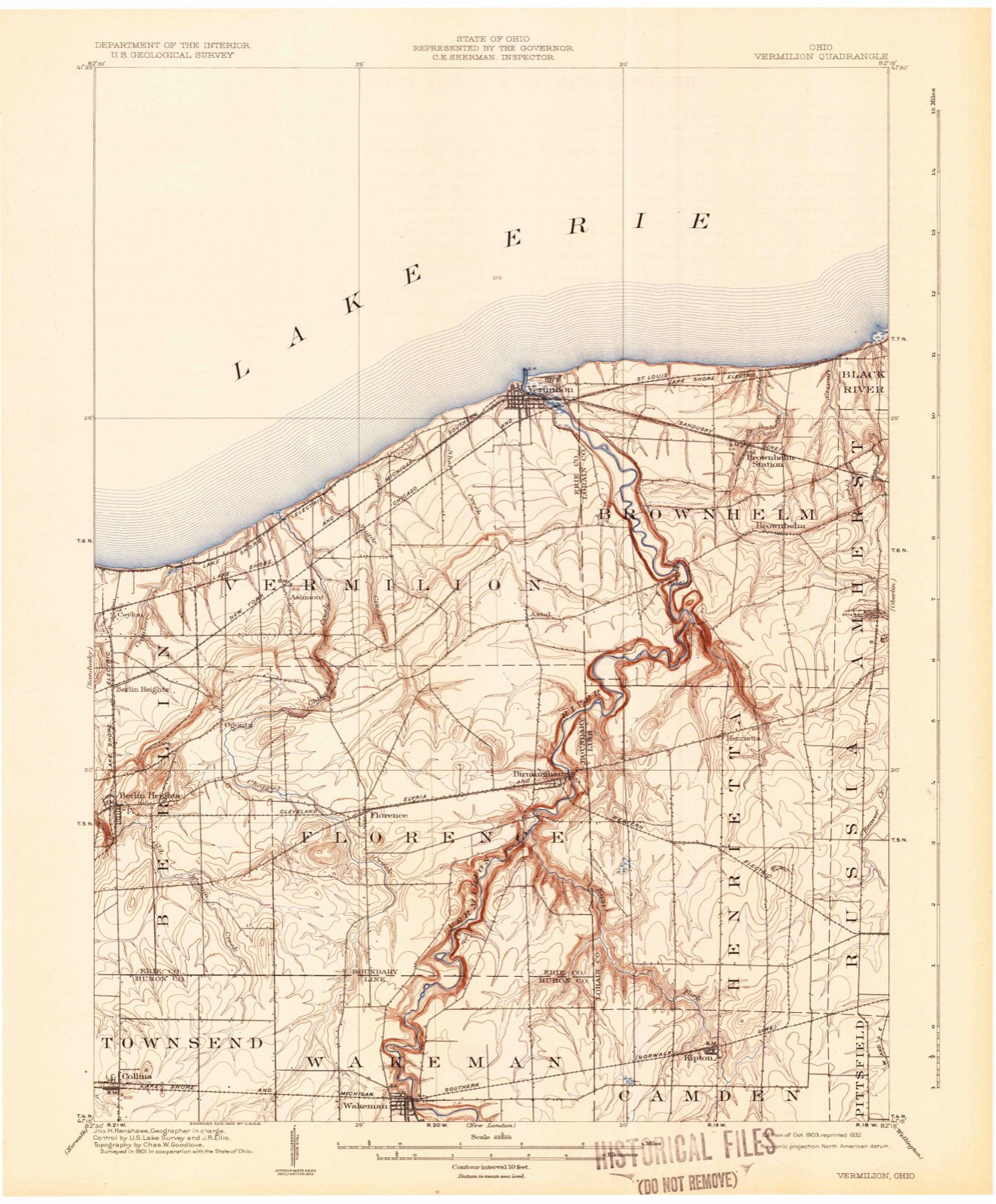
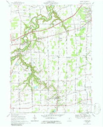
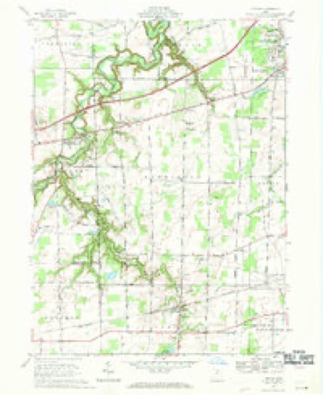
12 topographic sheets cover this place, the earliest surveyed in 1903 and the latest in 1986. It stands in Florence Township. It lies in ZIP code area 44889. It stands on East Fork Vermilion River. The Survey maps it on the Kipton quadrangle. 286 people lived here at the 2020 count. It stands 784 feet above sea level.
Then and now
1903 to 1986The same ground, surveyed 83 years apart. Drag the handle to wipe between them. Both sheets are United States Geological Survey originals; neither has been altered.

Topographic sheets covering this place
12 sheetsMatched by testing this settlement's coordinate against the published boundary of every sheet in the United States Geological Survey's historical collection. Each opens the scanned sheet at the Survey.
- 1903 USGS Vermilion quadrangle1:62500
- 1903 USGS Vermilion quadrangle1:62500
- 1956 USGS Toledo quadrangle1:250000
- 1956 USGS Toledo quadrangle1:250000
- 1956 USGS Toledo quadrangle1:250000
- 1956 USGS Toledo quadrangle1:250000
- 1959 USGS Kipton quadrangle1:24000
- 1961 USGS Toledo quadrangle1:250000
- 1969 USGS Kipton quadrangle1:24000
- 1969 USGS Kipton quadrangle1:24000
- 1986 USGS Lorain quadrangle1:100000
- 1986 USGS Lorain quadrangle1:100000







In the county-history sources
6,497 words on this townshipA Standard History of Erie County, Ohio, published 1916 names this settlement in its chapter on Florence Township. These are the passages that mention it, exactly as the scans read.
The first schoolhouse was built at Sprague's corners, on land owned by John Brooks. The first teacher was Ruth Squire, and the school was supported by subscription; the parents paying in proportion to the number of children sent. This schoolhouse was afterward taken down and rebuilt on the south side of the road. The second schoolhouse was built half a mile west of Birmingham, and the school first taught by Rhoda Root. A certain individual objected to her custom of opening the school with prayer, so that a school meeting was called to consider the matter. The teacher was sustained.
Passage source: A Standard History of Erie County, Ohio, published 1916.
Fish, was born in Townsend Township, Huron County, Ohio, October 2, 1872. He pursued his later studies in Oberlin and in the University of Wisconsin, and for a number of years taught school in Florence and Berlin townships. He was married April 12, 1910, to Anna Sophia, daughter of Boardman Henry Packer and Mary Annie Hanson Packer of Greenville, Michigan, and later of Chicago. Their only child, John Boardman, was born December 29, 1910, in Chicago. They live on their fine farm on the bluffs overlooking the beautiful valley of the Vermilion River, about one mile south of Birmingham, Erie County, where they are enthusiastically engaged in agriculture and horticulture.
Passage source: A Standard History of Erie County, Ohio, published 1916.
The First Congregational Church of Birmingham was originally Presbyterian. It was organized in 1838 by a committee consisting of Philo Wells and Xenophon Betts, of Vermillion, and Joseph Swift, of Henrietta. In 1845 the church adopted the Congregational form, but continued under the care of the presbytery until 1874, when it with- drew. Eldad Barber was the first preacher. Reverend Messrs. Goodell and Carlisle followed him, and he in turn succeeded them. The next preacher was C. C. Creegan, of Wakeman; after a time services were abandoned, and the building taken over by the Methodist Episcopal Society. .
Passage source: A Standard History of Erie County, Ohio, published 1916.
Machine-read from a century-old scan, so expect the errors a machine makes: misspelled names, dropped words, stray characters.
Read the whole chapter on Florence Township - it names this place 3 more 3 times.
Specimens collected near this place
12 of 944 shownRegional context, not property-specific evidence. Museums hold 944 specimens collected within 10 miles of Birmingham between 1874 and 1975: 705 Plantae, 147 Animalia, 91 Fungi, 1 Protozoa. 12 distinct Species records are shown. Collected by ?, A. M. Evans, A.M. Evans and others. Each is a physical object with a catalogue number, and each entry opens the museum's record. This is what was collected and kept, not a survey of what lives here - nothing can be concluded from a species being absent.
| Image | Species | Year | Collected by | Where, as recorded |
|---|---|---|---|---|
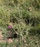 | Carduus nutans L. | 1874 | Jones, G.T. | Berlin Twp., just W of Ceylon |
 | Carex gracillima Schwein. | 1892 | Moseley, E.L. | Shinrock |
 | Catharus fuscescens fuscescens (Stephens, 1817) | 1892 | C. Tuttle | Berlin Heights |
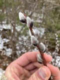 | Salix discolor Muhl. | 1892 | Moseley, E.L. | Florence |
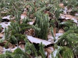 | Huperzia lucidula (Michx.) Trevis. | 1893 | Moseley, E.L. | Vermilion, Furnace Woods |
 | Ambloplites rupestris (Rafinesque, 1817) | 1894 | C. Rutter | Vermillion River, Ohio |
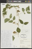 | Apios tuberosa Moench | 1894 | Moseley, E.L. | Florence |
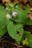 | Aster macrophyllus L. | 1894 | Moseley, E.L. | Florence Twp |
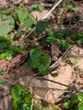 | Circaea alpina subsp. alpina | 1894 | Moseley, E.L. | Florence |
| Apocynum sibiricum Jacq. | 1896 | Watson, J.R. | North Ohio | |
| Aristolochia serpentaria L. | 1896 | Simms, C. | Berlin | |
| Carex digitalis Willd. | 1896 | Moseley, E.L. | Berlin Heights |
All 944 specimens within 10 miles, at the Global Biodiversity Information Facility.
Mines and quarries near this place
1 within 5 milesRegional context, not property-specific evidence. The federal mineral resources record lists 1 working within 5 miles of Birmingham: 1 producer. All of them still produce. What was taken out: Flagstone. Distance is straight-line from the map coordinates, so a quarry counted here may appear on a neighbouring settlement's page as well.
| Where | Site | Commodity | Status | Recorded |
|---|---|---|---|---|
| Cleveland Quarry | Flagstone | Producer |
Storms near this place
2 since 2006Regional context, not property-specific evidence. The National Weather Service names Birmingham in 2 storm reports between 2006 and 2020: 1 hail, 1 thunderstorm wind. No death or injury is recorded in these reports. Each account below is quoted exactly as the forecast office filed it, from the NOAA Storm Events Database, and each date opens the federal record of that event.
| When | Event | Place named | Harm | What the report says |
|---|---|---|---|---|
| June 2020 | Thunderstorm Wind | Birmingham | $5,000 | A social media user reported trees down on their property in Florence Township. One tree fell onto a shed. |
| April 2006 | Hail | Birmingham | - | Penny size hail was observed. |
Nearest settlements
The eight closest, with where each one stands in the county. Distances are straight-line, computed from the Geographic Names Information System coordinates.
| Map | Place | Distance | Sheets |
|---|---|---|---|
| Axtel | 2.7 miles | 12 | |
| Florence | 2.8 miles | 14 | |
| Joppa | 4.4 miles | 14 | |
| Ashmont (historical) | 5.3 miles | 12 | |
| Ogontz | 5.3 miles | 14 | |
| Volunteer Bay | 5.7 miles | 12 | |
| Orchard Beach | 5.9 miles | 12 | |
| Portland Court | 6.1 miles | 12 |
Elsewhere
Matched on this settlement's Geographic Names Information System number rather than its name, so it cannot be a different place of the same name in another state.
| Wikipedia article on Birmingham | An encyclopaedic summary. Its text is share-alike, so it is linked here rather than copied. |
| Wikidata item Q4916572 | The structured record the population and elevation above come from. Public domain (CC0). |
Provenance
This settlement is recorded in the Geographic Names Information System as feature 1038057. The sheet list is computed by point-in-boundary test against the United States Geological Survey's historical topographic inventory. Both are works of the United States government and carry no copyright under 17 U.S.C. 105.
Specimens. Global Biodiversity Information Facility (GBIF), https://www.gbif.org/. Only records licensed CC0 or CC BY are used. Records licensed CC BY-NC are excluded because this site carries advertising. Images are checked individually and any whose licence is non-commercial, no-derivatives or unreadable is refused.
Mines and quarries. USGS Mineral Resources Data System (MRDS) https://mrdata.usgs.gov/mrds/ A work of the United States government, no copyright under 17 U.S.C. 105.
Storms. NOAA National Centers for Environmental Information, Storm Events Database https://www.ncei.noaa.gov/stormevents/ A work of the United States government, no copyright under 17 U.S.C. 105. Narratives are quoted verbatim from the National Weather Service report and are not edited or summarised.