 Block
Block
Blacklick Estates, Ohio
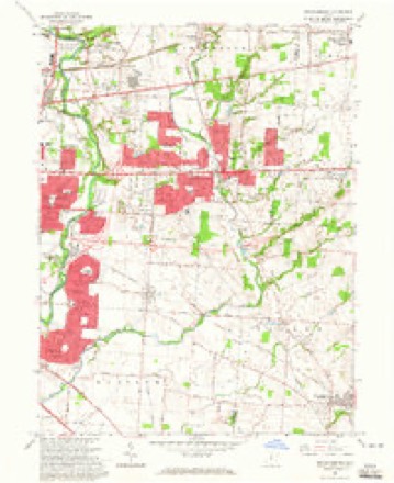
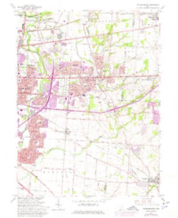
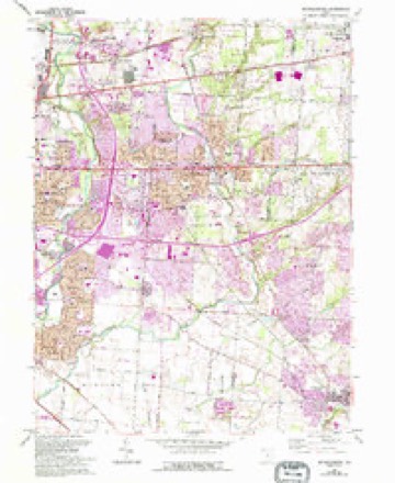
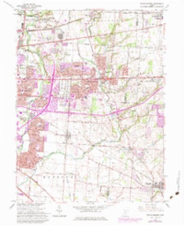
16 topographic sheets cover this place, the earliest surveyed in 1925 and the latest in 1984. It stands in Columbus City. It lies in ZIP code area 43232. It stands on Mason Run. The Survey maps it on the Reynoldsburg quadrangle. 8,990 people lived here at the 2020 count. It stands 751 feet above sea level.
Population over time
2 figuresBlacklick Estates grew from 8,682 to 8,990 between 2010 and 2020. These are the recorded population figures Wikidata holds for this place, reached through the Geographic Names Information System number this page is keyed on rather than by name, so they belong to this place and not to another of the same name. Most are census counts, but not all are: an early figure may be a founding or settlement estimate. The change column is computed, and is left blank where more than 20 years separate a figure from the one before it, because a gap that long is not a change between two counts.
| Year | People | Change |
|---|---|---|
| 2010 | 8,682 | |
| 2020 | 8,990 | +308 (+4%) |
Then and now
1925 to 1984The same ground, surveyed 59 years apart. Drag the handle to wipe between them. Both sheets are United States Geological Survey originals; neither has been altered.
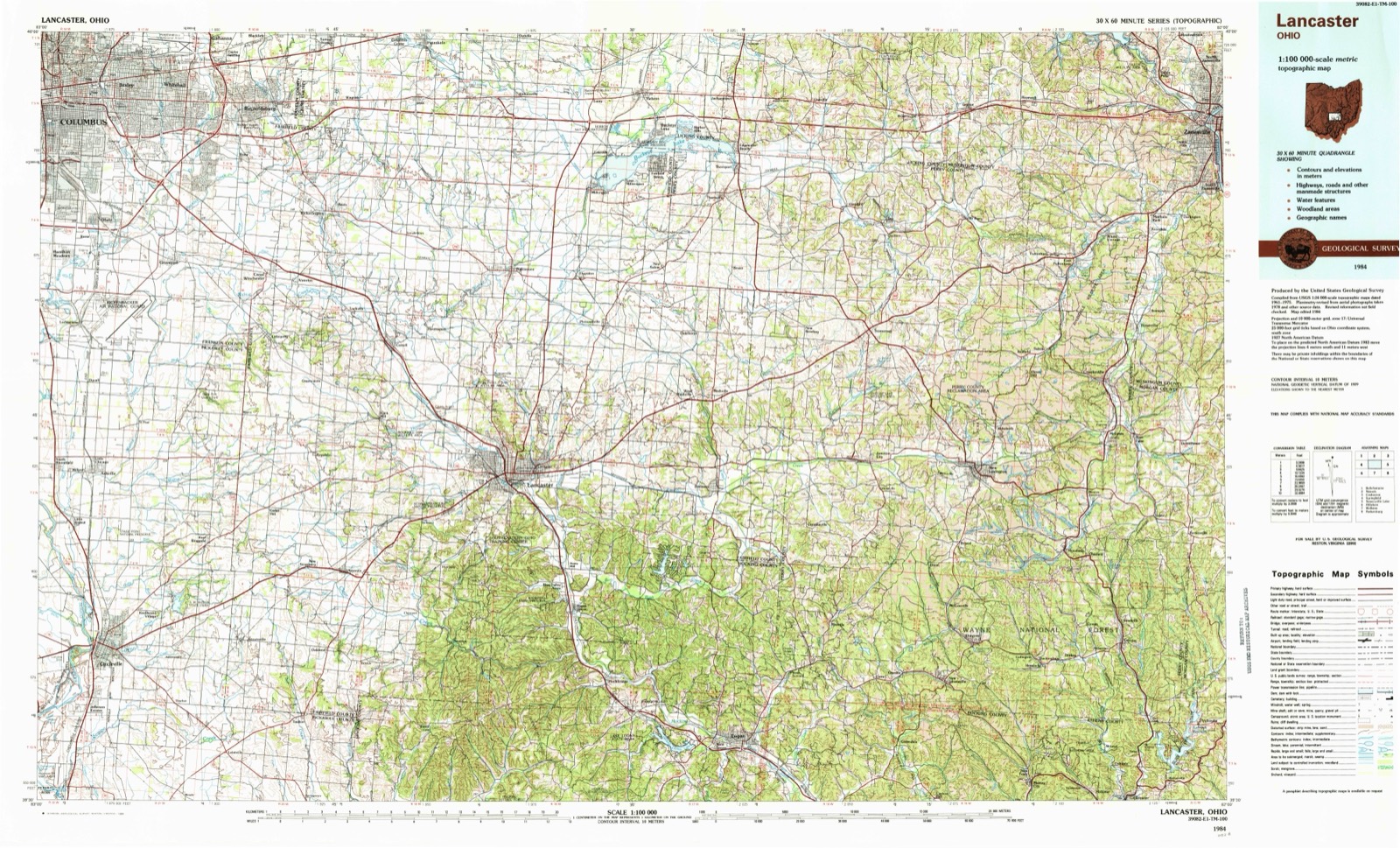
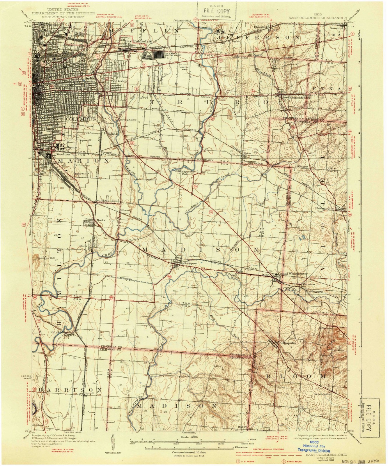
Topographic sheets covering this place
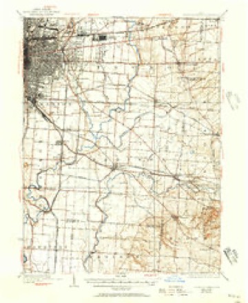
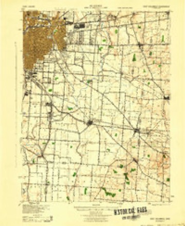
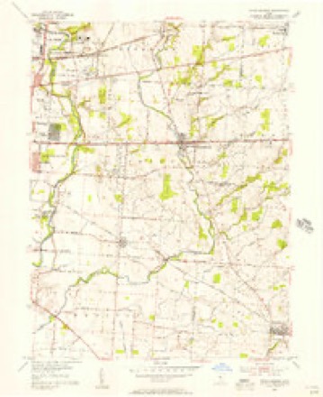
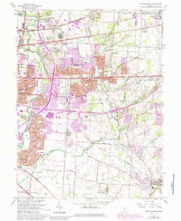
16 sheetsMatched by testing this settlement's coordinate against the published boundary of every sheet in the United States Geological Survey's historical collection. Each opens the scanned sheet at the Survey.
- 1925 USGS East Columbus quadrangle1:62500
- 1925 USGS East Columbus quadrangle1:62500
- 1925 USGS East Columbus quadrangle1:62500
- 1943 USGS East Columbus quadrangle1:62500
- 1947 USGS Columbus quadrangle1:250000
- 1955 USGS Reynoldsburg quadrangle1:24000
- 1961 USGS Columbus quadrangle1:250000
- 1962 USGS Columbus quadrangle1:250000
- 1964 USGS Reynoldsburg quadrangle1:24000
- 1964 USGS Reynoldsburg quadrangle1:24000
- 1964 USGS Reynoldsburg quadrangle1:24000
- 1964 USGS Reynoldsburg quadrangle1:24000
- 1964 USGS Reynoldsburg quadrangle1:24000
- 1967 USGS Columbus quadrangle1:250000
- 1967 USGS Columbus quadrangle1:250000
- 1984 USGS Lancaster quadrangle1:100000






What happened here
An account from the chapter on Columbus city, in the words of 1858.
Beginnings Of Ohio
The Mound Builders and Indians - First White Settlements and Struggle for Possession - Indian Village at the Forks of the Scioto Attacked by Crawford and Dispersed - The Ohio Company, the Scioto Company and Symmes Purchase - Indian Power Broken and British Hopes Blasted - First Surveys - Topography, Geology and Soil of Franklin County.
In the 1858 county history
895,918 words on this townshipThe county history of 1858 has no passage naming this settlement, which was common for the smaller places. Its township is covered in full.
The chapter on Columbus City covers the township.
Read the chapter on Columbus City - 895,918 words.
Fires nearby
1 since 2010The federal wildfire occurrence database lists 1 fire within 5 miles of Blacklick Estates between 2010 and 2010, burning about 1 acres in total. None started naturally. None was recorded as arson. Distance is straight-line from the map coordinates, so a fire counted here may appear on a neighbouring settlement's page as well.
| Reported cause | Fires |
|---|---|
| Debris and open burning | 1 |
The most recent of them, most recent first, with the day each was reported and the service that recorded it.
| Date | Cause | Size | Reported by | Name on the report |
|---|---|---|---|---|
| 11 April 2010 | Debris and open burning | 1.0 acres | Ohio Department of Natural Resources | not named |
Settlements close enough to share some of these fires:
Specimens collected nearby
12 of 8,142 shownMuseums hold 8,142 specimens collected within 10 miles of Blacklick Estates between 1814 and 1975: 6,210 Animalia, 1,259 Fungi, 526 Plantae, 116 Chromista, 30 Unrecorded, 1 Protozoa. 12 distinct Species records are shown. Collected by 19 V 1938 in original publication, Knull, =, ? and others. Each is a physical object with a catalogue number, and each entry opens the museum's record. This is what was collected and kept, not a survey of what lives here - nothing can be concluded from a species being absent.
| Image | Species | Year | Collected by | Where, as recorded |
|---|---|---|---|---|
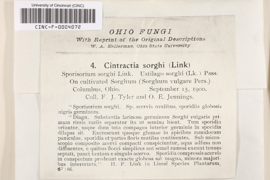 | Cintractia sorghi (Sorokn) De Toni | 1900 | Tyler, F.J.; O. E. Jennings | Columbus |
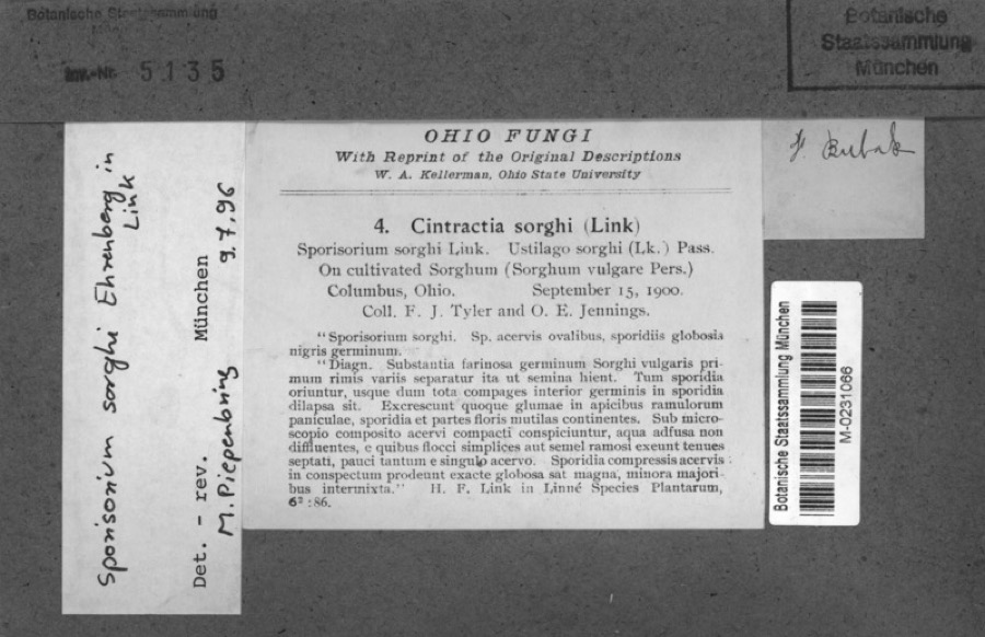 | Sorghum bicolor (L.) Moench | 1900 | Jennings, O.E. | Columbus, Ohio. |
 | Hirundo Linnaeus, 1758 | 1814 | not recorded | Columbus Ohio, Franklin, Ohio, USA |
 | Callimome strobiloides Huber, 1927 | 1821 | C. Huber | Columbus |
 | Solidago riddellii Frank | 1832 | W. A. Kellerman | A few miles N of Columbus. |
 | Carex lupulina Muhl. ex Willd. | 1834 | Anonymous | Columbus. |
 | Anomodon viticulosus (Hedw.) Hook. & Taylor | 1837 | W. S. Sullivant | Near Columbus |
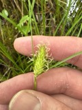 | Carex bullata Willd. | 1837 | Anonymous | Columbus. |
 | Carex comosa Boott | 1837 | Anonymous | Columbus. |
 | Carex granularis Muhl. ex Willd. | 1837 | Anonymous | Columbus. |
 | Acris crepitans blanchardi Harper, 1947 | 1897 | not recorded | No Further Locality Data |
| Albugo candida (Pers. ex J.F.Gmel.) Roussel | 1897 | Clevenger, J. F. | Columbus |
All 8,142 specimens within 10 miles, at the Global Biodiversity Information Facility.
Mines and quarries nearby
2 within 5 milesThe federal mineral resources record lists 2 workings within 5 miles of Blacklick Estates: 2 past producers. None of them still produces. What was taken out: Sand and Gravel, Construction. Distance is straight-line from the map coordinates, so a quarry counted here may appear on a neighbouring settlement's page as well.
| Where | Site | Commodity | Status | Recorded |
|---|---|---|---|---|
| Big Walnut Sand and Gravel Pit | Sand and Gravel, Construction | Past Producer | Sedimentary | |
| Big Walnut Sand and Gravel Pit | Sand and Gravel, Construction | Past Producer |
Nearest settlements
The eight closest, with where each one stands in the county. Distances are straight-line, computed from the Geographic Names Information System coordinates.
| Map | Place | Distance | Sheets |
|---|---|---|---|
| Edgewater Park | 1.0 miles | 16 | |
| Village At Shannon Green | 1.0 miles | 16 | |
| Cobbleton Grove | 1.2 miles | 16 | |
| Zimmer | 1.8 miles | 16 | |
| Brice | 1.9 miles | 16 | |
| Countryview Village | 1.9 miles | 16 | |
| Kensington Glen | 2.0 miles | 16 | |
| Groveport | 2.1 miles | 16 |
Elsewhere
Matched on this settlement's Geographic Names Information System number rather than its name, so it cannot be a different place of the same name in another state.
| Wikipedia article on Blacklick Estates | An encyclopaedic summary. Its text is share-alike, so it is linked here rather than copied. |
| Wikidata item Q2841657 | The structured record the population and elevation above come from. Public domain (CC0). |
Provenance
This settlement is recorded in the Geographic Names Information System as feature 1867447. The sheet list is computed by point-in-boundary test against the United States Geological Survey's historical topographic inventory. Both are works of the United States government and carry no copyright under 17 U.S.C. 105.
Wildfire. Short, Karen C. 2022. Spatial wildfire occurrence data for the United States, 1992-2020 [FPA_FOD_20221014]. 6th Edition. Fort Collins, CO: Forest Service Research Data Archive. https://doi.org/10.2737/RDS-2013-0009.6 Collected with United States Government funding and usable without additional permissions or fees.
Specimens. Global Biodiversity Information Facility (GBIF), https://www.gbif.org/. Only records licensed CC0 or CC BY are used. Records licensed CC BY-NC are excluded because this site carries advertising. Images are checked individually and any whose licence is non-commercial, no-derivatives or unreadable is refused.
Mines and quarries. USGS Mineral Resources Data System (MRDS) https://mrdata.usgs.gov/mrds/ A work of the United States government, no copyright under 17 U.S.C. 105.