 Block
Block
Bogart, Ohio
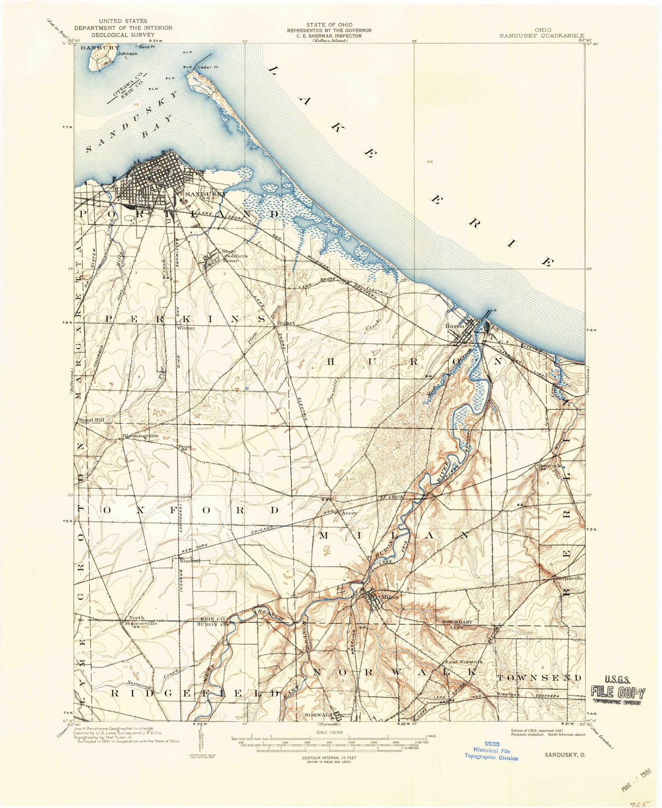
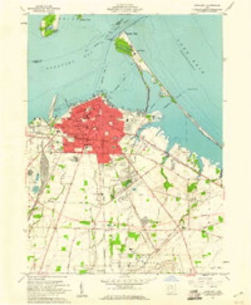
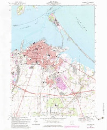
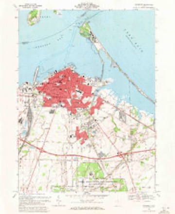
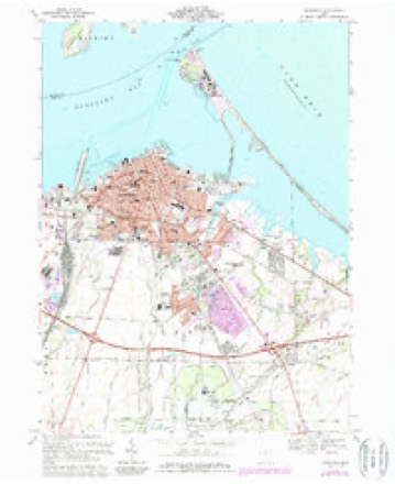
16 topographic sheets cover this place, the earliest surveyed in 1904 and the latest in 1986. It stands in Perkins Township. It lies in ZIP code area 44870. The Survey maps it on the Sandusky quadrangle.
Then and now
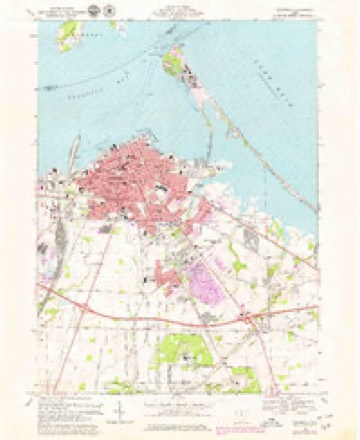
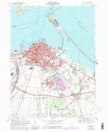
1904 to 1986The same ground, surveyed 82 years apart. Drag the handle to wipe between them. Both sheets are United States Geological Survey originals; neither has been altered.

Topographic sheets covering this place
16 sheetsMatched by testing this settlement's coordinate against the published boundary of every sheet in the United States Geological Survey's historical collection. Each opens the scanned sheet at the Survey.
- 1904 USGS Sandusky quadrangle1:62500
- 1904 USGS Sandusky quadrangle1:62500
- 1904 USGS Sandusky quadrangle1:62500
- 1956 USGS Toledo quadrangle1:250000
- 1956 USGS Toledo quadrangle1:250000
- 1956 USGS Toledo quadrangle1:250000
- 1956 USGS Toledo quadrangle1:250000
- 1959 USGS Sandusky quadrangle1:24000
- 1961 USGS Toledo quadrangle1:250000
- 1969 USGS Sandusky quadrangle1:24000
- 1969 USGS Sandusky quadrangle1:24000
- 1969 USGS Sandusky quadrangle1:24000
- 1969 USGS Sandusky quadrangle1:24000
- 1969 USGS Sandusky quadrangle1:24000
- 1986 USGS Lorain quadrangle1:100000
- 1986 USGS Lorain quadrangle1:100000







In the county-history sources
2,831 words on this townshipA Standard History of Erie County, Ohio, published 1916 names this settlement in its chapter on Perkins Township. These are the passages that mention it, exactly as the scans read.
Among the different tribes of Indians who inhabited the firelands were the Delawares and Ottawas, which belonged to the Algonquin family, and the Wyandots or Hurons, and the Senecas, which belonged to the Huron-Iroquois family.. As late as 1818 the township was dotted over with Indian wigwams. Near Bogart's Corners was an unusually large encampment, on the farm afterward owned by A. N. Baker. As late as 1889 there still remained near the east line of the township twelve or fifteen buildings composed of poles and bark; and in the northwest corner of section 2 there used to be the ruins of an old fort. The walls were of earth, about three feet in height, through which was an opening or gateway leading to a spring, the path to which had been worn to the depth of one foot. These remains were long ago leveled by the settlers. In different parts of the township relics of these tribes are found, consisting of the flint arrowhead, the charm, the battleax and scalping knife; and in some instances skeletons have been exhumed. These were invariably buried in a sitting posture, their faces turned which were well preserved. Near the south line and north of Bloomingville, on the farm of Solomon J arrett, there was found an Indian grave, which had been covered by two large slabs of stone three feet long, the upper ends of which rested together and the lower ends apart. Between these were ashes and charcoal, and on them lay a claw hammer, worn and battered. This may have been obtained at the old French fort at Venice.
Passage source: A Standard History of Erie County, Ohio, published 1916.
After Mr. Beatty became settled he had the land surveyed where Bogart now stands, and laid out in town lots, some of which were sold, but afterward reverted again to their original owner. In the spring of 1819 he commenced building a stone residence at Bogart, which was one of the landmarks of the township, and was known for many years as the ''Half-Way House.'' It was occupied for many years as a tavern and was well known in all parts of the country. Teamsters, in hauling grain to Sandusky from Mansfield and vicinity, used to stop there, and as many as forty teams have been seen in the yards at night. The stage, in making its regular trips from Milan to Sandusky for twenty-five years, also stopped there. In 1817 Mr. Beatty was appointed the first postmaster in the township. He distributed the mails from his log house, a drygoods box with some shelves being used to contain the mail. It is said that he never reported to the department, and he was removed and the office discontinued in 1818 or 1819.
Passage source: A Standard History of Erie County, Ohio, published 1916.
Mr. Beatty kept in the stone house a small stock of dry goods. The first blacksmith shop was erected by Mr. Johnson on the ground afterward occupied by F. Siegel. Rev. William Gurley kept a shop in which he devoted himself to the silversmith business. Mr. Kellogg was the proprietor of a cooper shop. John Brodhead was the only carpenter. A tavern was kept by Holly Akins, on the location afterward occupied by J. D. Parker's store. Mr. Bell, father of Stewart Bell, of Sandusky, who died at an early day, was a ship carpenter. In the year 1817 he built a small vessel near the lake. It required forty yoke of oxen and a number of men to move it to the shore, which was accomplished after much labor. It was launched a short distance west of the village of Huron. Doctor Christopher, a graduate of Yale College and possessed of a fine education, was without doubt the first practicing physician in the township, his office being located at Bogart. As the pioneers manufactured most of their wearing apparel, looms and spinning wheels were in good demand. These were made to order by Mr. Hubbard, a wheelwright.
Passage source: A Standard History of Erie County, Ohio, published 1916.
Machine-read from a century-old scan, so expect the errors a machine makes: misspelled names, dropped words, stray characters.
Read the whole chapter on Perkins Township - it names this place 2 more 2 times.
Specimens collected near this place
12 of 3,036 shownRegional context, not property-specific evidence. Museums hold 3,036 specimens collected within 10 miles of Bogart between 1860 and 1975: 1,647 Animalia, 1,129 Plantae, 227 Fungi, 26 Chromista, 6 Protozoa, 1 Unrecorded. 12 distinct Species records are shown. Collected by ?, A. Dowdy, A. F. Satterthwait and others. Each is a physical object with a catalogue number, and each entry opens the museum's record. This is what was collected and kept, not a survey of what lives here - nothing can be concluded from a species being absent.
| Image | Species | Year | Collected by | Where, as recorded |
|---|---|---|---|---|
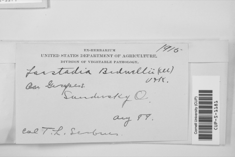 | Laestadia bidwellii (Ellis) Viala & Ravaz | 1899 | F.L. Scribner | |
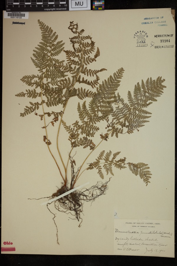 | Dennstaedtia punctilobula (Michx.) T.Moore | 1900 | Grover, F.O. | "Dry sandy hillside, shaded |
 | Perca Linnaeus, 1758 | 1860 | Smithsonian Institution | Sandusky |
 | Vermivora chrysoptera (Linnaeus, 1766) | 1868 | No Person (Birds) | Taylor |
 | Carduus nutans L. | 1874 | Jones, G.T. | Berlin Twp., just W of Ceylon |
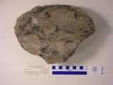 | Macropetalichthys rhapheidolabis Norwood & Owen, 1846 (fossil) | 1881 | D. S. Young | |
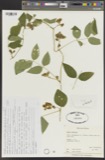 | Apios tuberosa Moench | 1885 | Wilkinson, E. | Cedar Point |
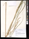 | Spartina pectinata Bosc ex Link | 1885 | Wilkinson, E. | Cedar Point |
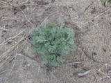 | Artemisia caudata Michx. | 1886 | Wilkinson, E. | Cedar Point |
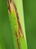 | Graminopassalora graminis (Fuckel) U.Braun, C.Nakash., Videira & Crous | 1886 | William Trelease; A. Commons | Madison |
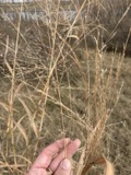 | Panicum virgatum L. | 1886 | Wilkinson, E. | Cedar Point |
 | Apocynum androsaemifolium L. | 1896 | E. L. Moseley | Margaretta Ridge |
All 3,036 specimens within 10 miles, at the Global Biodiversity Information Facility.
Mines and quarries near this place
6 within 5 milesRegional context, not property-specific evidence. The federal mineral resources record lists 6 workings within 5 miles of Bogart: 3 past producers, 2 producers, 1 plant. 3 still produce. What was taken out: Sand and Gravel, Construction, Stone, Crushed/Broken, Limestone, General. Distance is straight-line from the map coordinates, so a quarry counted here may appear on a neighbouring settlement's page as well.
| Where | Site | Commodity | Status | Recorded |
|---|---|---|---|---|
| Wagner Quarry | Limestone, General | Past Producer | Sedimentary | |
| Erie Materials Inc. | Stone, Crushed/Broken | Producer | ||
| Soldiers Home Quarry | Stone, Crushed/Broken | Producer | ||
| Febus Gravel Pit | Sand and Gravel, Construction | Past Producer | ||
| Horon Plant | Sand and Gravel, Construction | Past Producer | Sedimentary | |
| Huron Plant | Sand and Gravel, Construction | Plant |
Storms near this place
3 since 2008Regional context, not property-specific evidence. The National Weather Service names Bogart in 3 storm reports between 2008 and 2019: 3 thunderstorm wind. No death or injury is recorded in these reports. Each account below is quoted exactly as the forecast office filed it, from the NOAA Storm Events Database, and each date opens the federal record of that event.
| When | Event | Place named | Harm | What the report says |
|---|---|---|---|---|
| June 2010 | Thunderstorm Wind | Bogart | $10,000 | Thunderstorm winds downed a few trees. |
| June 2008 | Thunderstorm Wind | Bogart | $2,000 | A few large limbs were reported down. |
| August 2019 | Thunderstorm Wind | Bogart | - | There was a tree blown down across Route 2. |
Nearest settlements
The eight closest, with where each one stands in the county. Distances are straight-line, computed from the Geographic Names Information System coordinates.
| Map | Place | Distance | Sheets |
|---|---|---|---|
| Columbus Park | 1.3 miles | 16 | |
| Fairview Lanes | 2.1 miles | 16 | |
| Southgate Acres | 2.2 miles | 16 | |
| Lincolnshire | 2.2 miles | 16 | |
| Wilmer | 2.4 miles | 16 | |
| Ranch Wood | 2.7 miles | 16 | |
| Rye beach | 3.7 miles | 14 | |
| Holiday Estates | 3.9 miles | 16 |
Provenance
This settlement is recorded in the Geographic Names Information System as feature 1064462. The sheet list is computed by point-in-boundary test against the United States Geological Survey's historical topographic inventory. Both are works of the United States government and carry no copyright under 17 U.S.C. 105.
Specimens. Global Biodiversity Information Facility (GBIF), https://www.gbif.org/. Only records licensed CC0 or CC BY are used. Records licensed CC BY-NC are excluded because this site carries advertising. Images are checked individually and any whose licence is non-commercial, no-derivatives or unreadable is refused.
Mines and quarries. USGS Mineral Resources Data System (MRDS) https://mrdata.usgs.gov/mrds/ A work of the United States government, no copyright under 17 U.S.C. 105.
Storms. NOAA National Centers for Environmental Information, Storm Events Database https://www.ncei.noaa.gov/stormevents/ A work of the United States government, no copyright under 17 U.S.C. 105. Narratives are quoted verbatim from the National Weather Service report and are not edited or summarised.