 Block
Block
Burr Oaks Heights, Ohio
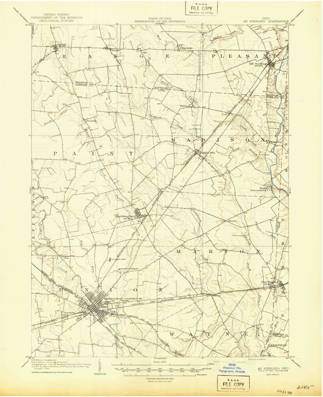
10 topographic sheets cover this place, the earliest surveyed in 1906 and the latest in 1986. It stands in Pleasant Township. It lies in ZIP code area 43143. The Survey maps it on the Mount Sterling quadrangle.
Then and now
1906 to 1986The same ground, surveyed 80 years apart. Drag the handle to wipe between them. Both sheets are United States Geological Survey originals; neither has been altered.

Topographic sheets covering this place
10 sheetsMatched by testing this settlement's coordinate against the published boundary of every sheet in the United States Geological Survey's historical collection. Each opens the scanned sheet at the Survey.
- 1906 USGS Mt Sterling quadrangle1:62500
- 1947 USGS Columbus quadrangle1:250000
- 1961 USGS Columbus quadrangle1:250000
- 1961 USGS Mount Sterling quadrangle1:24000
- 1961 USGS Mount Sterling quadrangle1:24000
- 1962 USGS Columbus quadrangle1:250000
- 1967 USGS Columbus quadrangle1:250000
- 1967 USGS Columbus quadrangle1:250000
- 1986 USGS Springfield quadrangle1:100000
- 1986 USGS Springfield quadrangle1:100000







What happened here
An account from the chapter on Pleasant township, in the words of 1883.
Epidemic At Amity
EPIDEMIC AT AMITY. In 1849, soon after removing the mill-dam. b\ order of the court, spoken of in the history of Rosswell. Obil and (hen Beach, Asiatic cholera broke out in all its virulence ami horrors, sweeping away many of its inhabitants in the space of a few days, striking terror to the entire Inhabitants of Amity and vicinity.
In the 1883 county history
270,911 words on this townshipThe county history of 1883 has no passage naming this settlement, which was common for the smaller places. Its township is covered in full.
The chapter on Pleasant Township covers this township occupies the southeast corner of madison county, and the territory comprising it was one of the earliest settled portions of the county. this was doubtless brought about principally from its geographical position and its proximity to the older settled counties, especially that of boss, which in an early daj appears to have been the center, a kind of asylum for the emigrant, of this portion of the stati, from which they radiated and formed settlements in all the surrounding country, which was then an unbroken wilderness. from the ohio river up the valley of the scioto, early settlements were made, and chillicothe boob became the prin cipal trading point, upon the frontier. from this, as a base for supplies, the ever-onward pioneer and huntsman pushed up the scioto and its numerous tributaries, paint, deer and darby creeks; and it seems that the two lastmentioned streams were early visited by those in quest of game and a location, as it soon became known that along these streams were found plentiful herds of deer and immense flocks of wild turkeys, and what was more than all as good a body of land as the sun ever shone upon. as you ascend deer (.'reek some thirty to thirty five miles from its mouth, or where it empties its waters into the scioto, you strike the corner of madison county and the southeast corner of pleasant township.
Read the chapter on Pleasant Township - 270,911 words.
Specimens collected nearby
12 of 89 shownMuseums hold 89 specimens collected within 10 miles of Burr Oaks Heights between 1909 and 1972: 80 Animalia, 6 Plantae, 2 Unrecorded, 1 Fungi. 12 distinct Species records are shown. Collected by Brommer, R. & Moerchen, R. (Richard), Bureau of Fisheries, Charles O. Wingo Jr. and others. Each is a physical object with a catalogue number, and each entry opens the museum's record. This is what was collected and kept, not a survey of what lives here - nothing can be concluded from a species being absent.
| Image | Species | Year | Collected by | Where, as recorded |
|---|---|---|---|---|
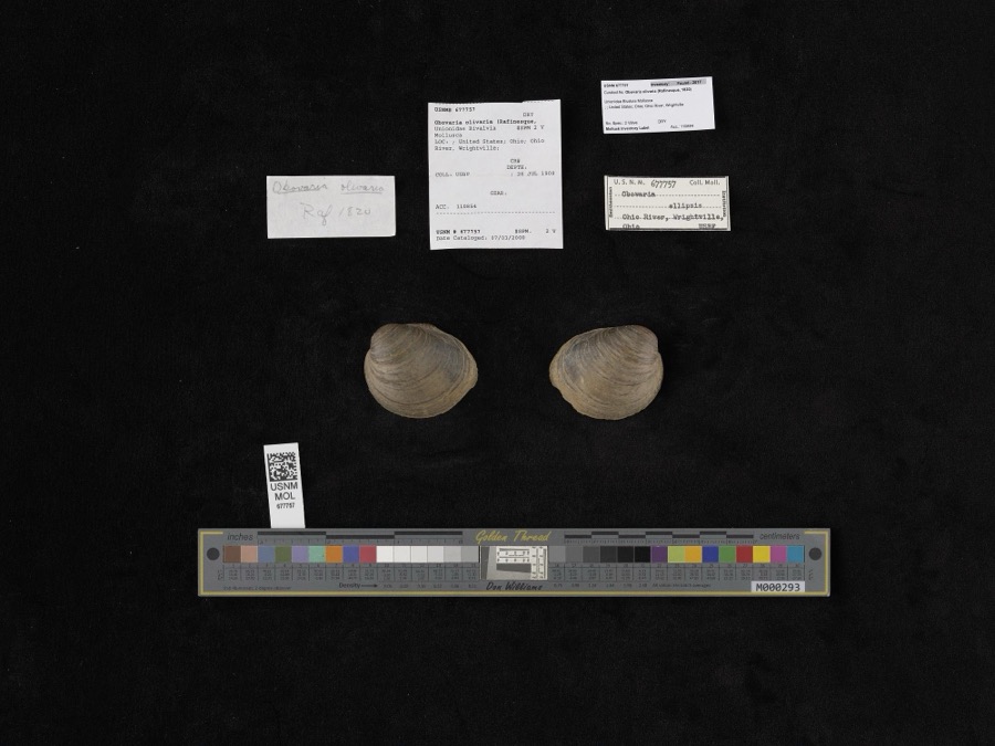 | Obovaria olivaria (Rafinesque, 1820) | 1909 | Bureau of Fisheries | Ohio River, Wrightville |
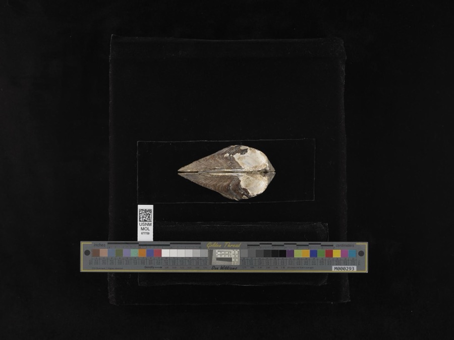 | Plethobasus cyphus (Rafinesque, 1820) | 1909 | Bureau of Fisheries | Ohio River, Wrightville |
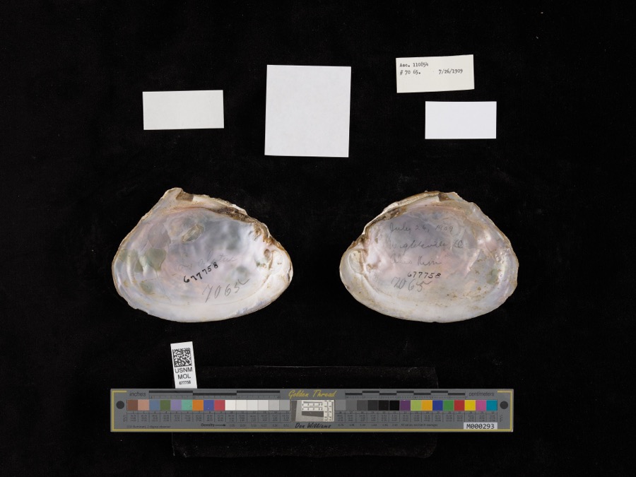 | Potamilus alatus (Say, 1817) | 1909 | Bureau of Fisheries | Ohio River, Wrightville |
 | Necturus maculosus maculosus (Rafinesque, 1818) | 1929 | Wickliff, E. L. (Edward L.) | Oak Run, Madison Co., Ohio |
 | Ambloplites rupestris (Rafinesque, 1817) | 1940 | Trautman, M. B. (Milton Bernard) & Wickliff, E. L. (Edward L.) | Deer Creek, ust SR 56, 0.6 mile east of Mount Sterling OH, Pleasant Township |
 | Ameiurus natalis (Lesueur, 1819) | 1940 | Trautman, M. B. (Milton Bernard) & Wickliff, E. L. (Edward L.) | Deer Creek, ust SR 56, 0.6 mile east of Mount Sterling OH, Pleasant Township |
 | Campostoma anomalum anomalum | 1940 | Trautman, M. B. (Milton Bernard) & Wickliff, E. L. (Edward L.) | Deer Creek, ust SR 56, 0.6 mile east of Mount Sterling OH, Pleasant Township |
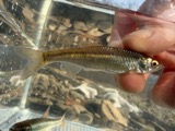 | Cyprinella whipplei Girard, 1856 | 1940 | Trautman, M. B. (Milton Bernard) & Wickliff, E. L. (Edward L.) | Deer Creek, ust SR 56, 0.6 mile east of Mount Sterling OH, Pleasant Township |
 | Esox americanus Gmelin, 1789 | 1940 | Trautman, M. B. (Milton Bernard) & Wickliff, E. L. (Edward L.) | Deer Creek, ust SR 56, 0.6 mile east of Mount Sterling OH, Pleasant Township |
 | Etheostoma blennioides blennioides Rafinesque, 1819 | 1940 | Trautman, M. B. (Milton Bernard) & Wickliff, E. L. (Edward L.) | Deer Creek, ust SR 56, 0.6 mile east of Mount Sterling OH, Pleasant Township |
 | Etheostoma caeruleum Storer, 1845 | 1940 | Trautman, M. B. (Milton Bernard) & Wickliff, E. L. (Edward L.) | Deer Creek, ust SR 56, 0.6 mile east of Mount Sterling OH, Pleasant Township |
 | Etheostoma flabellare Rafinesque, 1819 | 1940 | Trautman, M. B. (Milton Bernard) & Wickliff, E. L. (Edward L.) | Deer Creek, ust SR 56, 0.6 mile east of Mount Sterling OH, Pleasant Township |
All 89 specimens within 10 miles, at the Global Biodiversity Information Facility.
Nearest settlements
The eight closest, with where each one stands in the county. Distances are straight-line, computed from the Geographic Names Information System coordinates.
| Map | Place | Distance | Sheets |
|---|---|---|---|
| Mount Sterling | 0.7 miles | 10 | |
| McClimansville | 1.2 miles | 10 | |
| Antioch | 3.8 miles | 11 | |
| Chenoweth | 4.6 miles | 10 | |
| McKendree | 5.1 miles | 11 | |
| Nioga (historical) | 5.5 miles | 11 | |
| Kiousville | 6.0 miles | 11 | |
| Bethel | 6.4 miles | 10 |
Elsewhere
Matched on this settlement's Geographic Names Information System number rather than its name, so it cannot be a different place of the same name in another state.
| Wikidata item Q122541997 | The structured record the population and elevation above come from. Public domain (CC0). |
Provenance
This settlement is recorded in the Geographic Names Information System as feature 1056230. The sheet list is computed by point-in-boundary test against the United States Geological Survey's historical topographic inventory. Both are works of the United States government and carry no copyright under 17 U.S.C. 105.
Specimens. Global Biodiversity Information Facility (GBIF), https://www.gbif.org/. Only records licensed CC0 or CC BY are used. Records licensed CC BY-NC are excluded because this site carries advertising. Images are checked individually and any whose licence is non-commercial, no-derivatives or unreadable is refused.