 Block
Block
Cable, Ohio
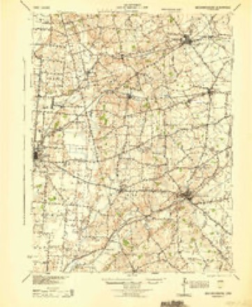
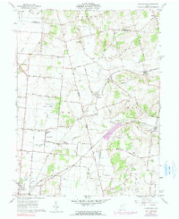
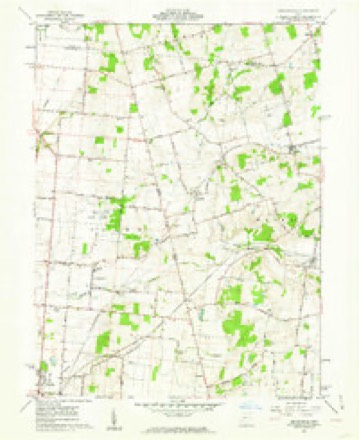
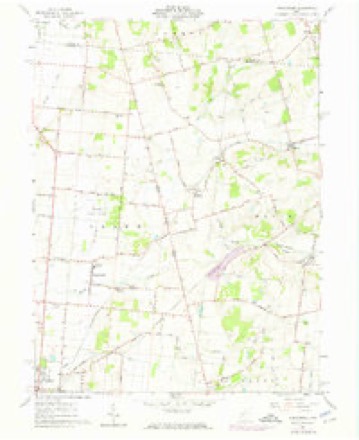
13 topographic sheets cover this place, the earliest surveyed in 1914 and the latest in 1992. It stands in Wayne Township. It lies in ZIP code area 43009. The Survey maps it on the Kingscreek quadrangle. It stands 1,181 feet above sea level.
Then and now
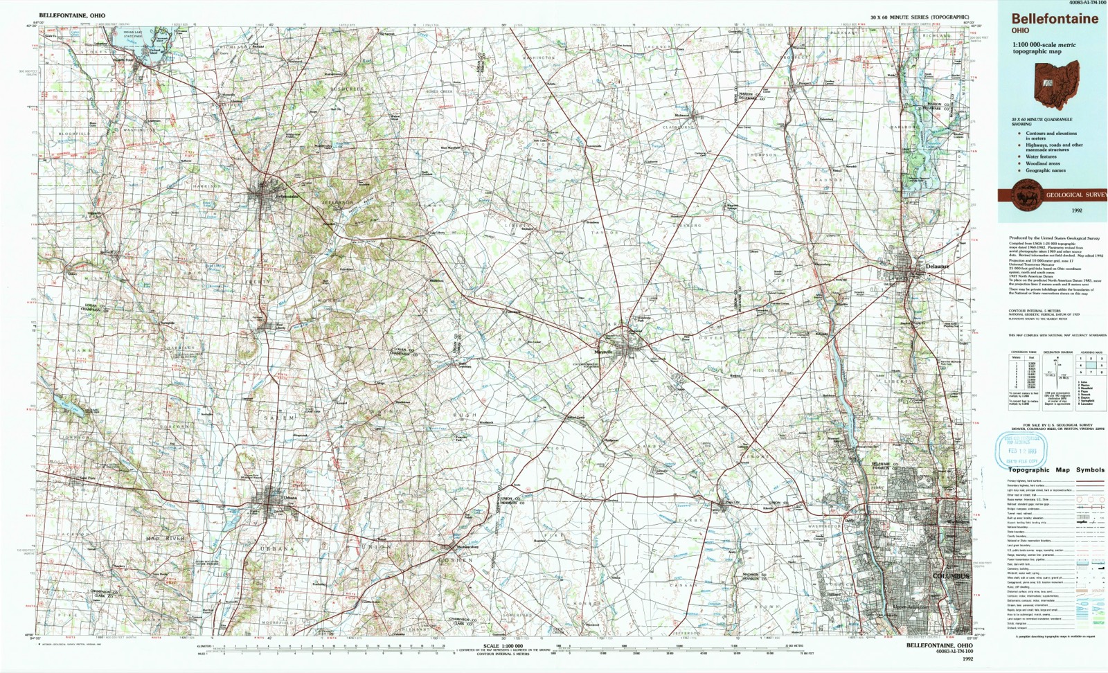
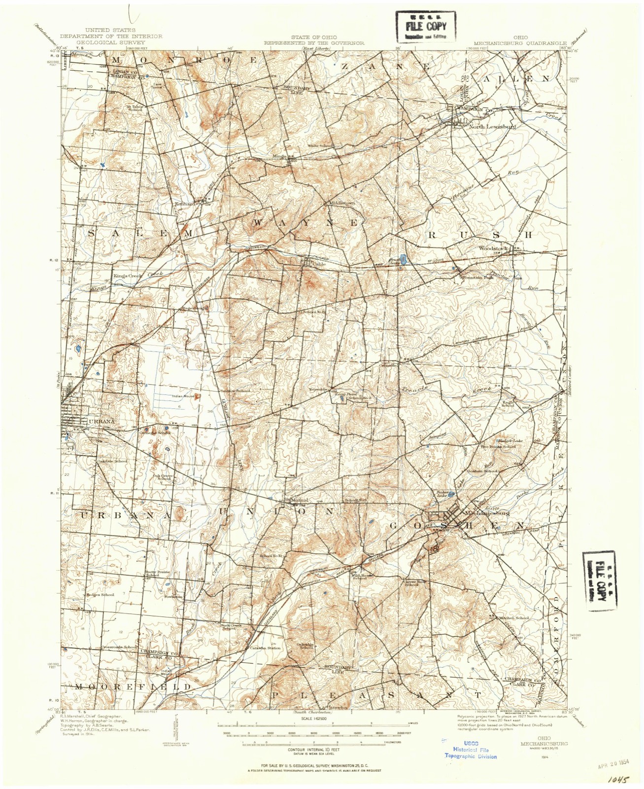
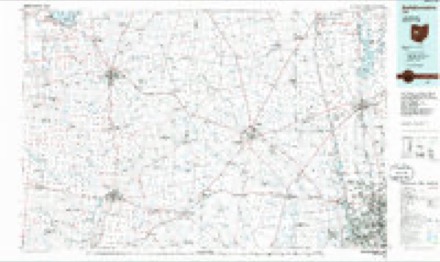
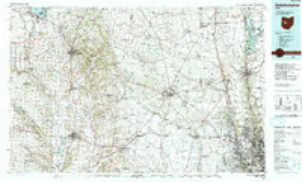
1914 to 1992The same ground, surveyed 78 years apart. Drag the handle to wipe between them. Both sheets are United States Geological Survey originals; neither has been altered.
Topographic sheets covering this place
13 sheetsMatched by testing this settlement's coordinate against the published boundary of every sheet in the United States Geological Survey's historical collection. Each opens the scanned sheet at the Survey.
- 1914 USGS Mechanicsburg quadrangle1:62500
- 1916 USGS Mechanicsburg quadrangle1:62500
- 1944 USGS Mechanicsburg quadrangle1:62500
- 1950 USGS Marion quadrangle1:250000
- 1961 USGS Kingscreek quadrangle1:24000
- 1961 USGS Kingscreek quadrangle1:24000
- 1961 USGS Kingscreek quadrangle1:24000
- 1962 USGS Marion quadrangle1:250000
- 1966 USGS Marion quadrangle1:250000
- 1966 USGS Marion quadrangle1:250000
- 1966 USGS Marion quadrangle1:250000
- 1986 USGS Bellefontaine quadrangle1:100000
- 1992 USGS Bellefontaine quadrangle1:100000





In the county-history sources
115,913 words on this townshipThe History of Champaign County, Ohio, Containing a History of the County; Its Cities, Towns, Etc.; General and Local Statistics; Portraits of Early Settlers and Prominent Men; History of the Northwest Territory; History of Ohio; Map of Champaign County; Constitution of the United States, Miscellaneous Matters .., published 1881 names this settlement in its chapter on Wayne Township. These are the passages that mention it, exactly as the scans read.
Chester Co., Penn., till his mother's death, which occurred five months after their arrival. James was reared in a family of Hennessys, with whom he remained till 16 years of age, when he began learning his trade. His father in the meantime had gone South, where he lived until the breaking-out of the war, when he was forced into the Southern army, in which he served one year. Was taken prisoner, and immediately enlisted on the side of the Union, where he served till the end of the war, when he returned to his former home in Pennsylvania, and one year after went to Baltimore, where he remained another year, when he went further South, since when nothing has been heard of him. After completing his trade, James worked for awhile in Baltimore and Philadelphia. From there he went to Virginia, Georgia, Tennessee, Kentucky, and worked at various places in Ohio, eventually landing in Hagerstown, Ind., where he was altogether three years. Here, in 1875, he was married to Clara A., daughter of Samuel Bell, by whom he has had one child, viz., Kate B. After leaving the above place, he went to Centerville, Ind., thence to Cable, this county, and finally to Woodstock, where he has since held forth. He is the leading smith in the town, which commands for him a large percentage of the public patronage. He is engaged with N. P. Hewitt in the manufacture of carriages and buggies, giving his attention to the supervision of all iron work. He is a member of the Masonic Lodge.
!has battled with the ordinary ups and downs which beset human experience. In 1858, Mr. Swisher was married to Artemesia Dix, daughter of John Dix, by whom he has had seven children, five living, viz., John, Abraham, Link, Margaret R. nnd Fred. The deceased are Thomas and one in infancy. He owns 98 acres of land, on which he located after his marriage. He farms largely to grain, and gives much attention to breeding pure Berkshire hogs. In 1864, he enlisted in Co. D., 134th O. N. G., 100-day men ; served his time and was honorably discharged. He is a public-spirited gentleman, and has taken an interest in educating his children, having qualified them for teaching. He is a member of the I. 0. 0. F. of Woodstock. His brothers are members of the same order.
Machine-read from a century-old scan, so expect the errors a machine makes: misspelled names, dropped words, stray characters.
Read the whole chapter on Wayne Township - it names this place 9 more 9 times.
Fires near this place
3 since 2002Regional context, not property-specific evidence. The federal wildfire occurrence database lists 3 fires within 5 miles of Cable between 2002 and 2002, burning about 2 acres in total. None started naturally. None was recorded as arson. Distance is straight-line from the map coordinates, so a fire counted here may appear on a neighbouring settlement's page as well.
| Reported cause | Fires |
|---|---|
| Recreation and ceremony | 1 |
| Debris and open burning | 1 |
| Other causes | 1 |
The most recent of them, most recent first, with the day each was reported and the service that recorded it.
| Date | Cause | Size | Reported by | Name on the report |
|---|---|---|---|---|
| 8 September 2002 | Other causes | 1.0 acres | Ohio State Fire Marshal's Office | not named |
| 5 September 2002 | Recreation and ceremony | 1.0 acres | Ohio State Fire Marshal's Office | not named |
| 9 March 2002 | Debris and open burning | under an acre | Ohio State Fire Marshal's Office | not named |
Settlements close enough to share some of these fires:
Specimens collected near this place
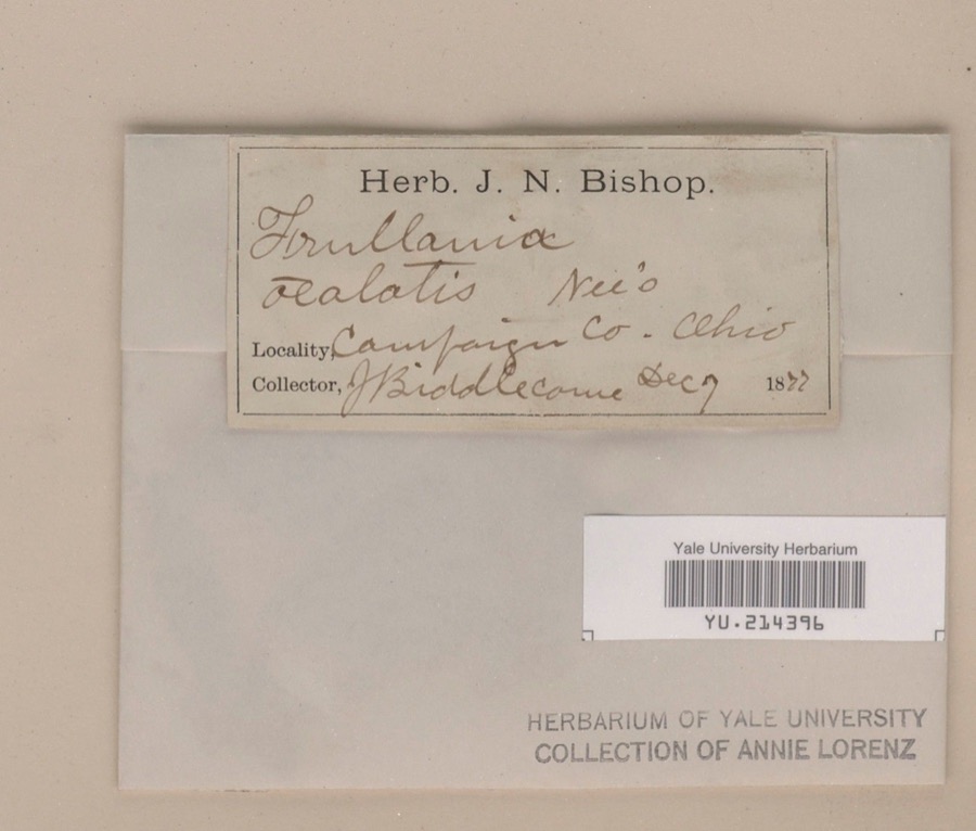
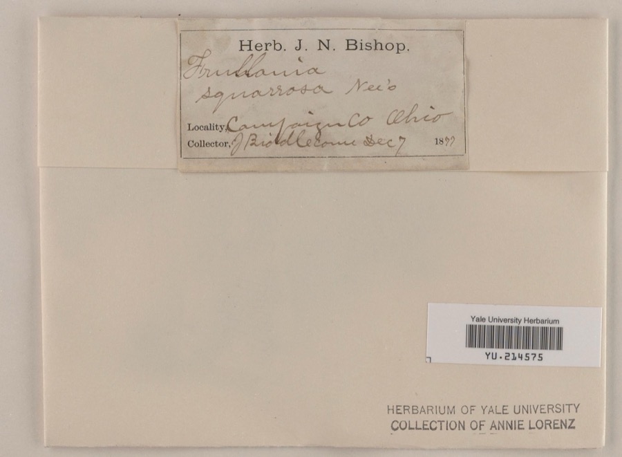
12 of 1,106 shownRegional context, not property-specific evidence. Museums hold 1,106 specimens collected within 10 miles of Cable between 1838 and 1975: 908 Animalia, 139 Plantae, 54 Fungi, 4 Protozoa, 1 Unrecorded. 12 distinct Species records are shown. Collected by A. Gray; W. S. Sullivant, A. R. Gaufin, H. H. Ross, A. Spreitzer and others. Each is a physical object with a catalogue number, and each entry opens the museum's record. This is what was collected and kept, not a survey of what lives here - nothing can be concluded from a species being absent.
| Image | Species | Year | Collected by | Where, as recorded |
|---|---|---|---|---|
 | Frullania riparia Hampe ex Lehm. | 1877 | J. E. Biddlecome | |
 | Frullania squarrosa (Reinw., Blume & Nees) Dumort. | 1877 | J. E. Biddlecome | |
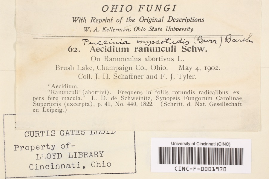 | Aecidium ranunculi Schwein. | 1902 | Schaffner, J.H.; Tyler, F.J. | Brush Lake |
 | Acer negundo L. | 1838 | Samples, John | Urbana |
 | Radula complanata (L.) Dumort. | 1843 | A. Gray; W. S. Sullivant | prope Urbana Ohionis |
 | Radula obconica Sull. | 1843 | Asa Gray; W. S. Sullivant | near Urbana |
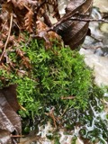 | Cratoneuron filicinum (Hedw.) Spruce | 1875 | H. J. Biddlecome | |
 | Rhytidiadelphus triquetrus (Hedw.) Warnst. | 1875 | Hannah J. Biddlecome | Urbana |
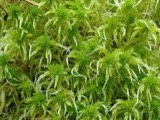 | Sphagnum girgensohnii Russow | 1875 | Hannah J. Biddlecome | Urbana |
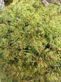 | Thuidium delicatulum (Hedw.) Schimp. | 1875 | Hannah J. Biddlecome | Urbana |
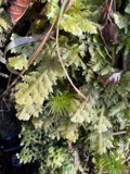 | Trichocolea tomentella (Ehrh.) Dumort. | 1875 | H. J. Biddlecome | Urbana |
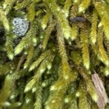 | Bryoandersonia illecebra (Hedw.) H.Rob. | 1876 | Hannah J. Biddlecome | Urbana |
All 1,106 specimens within 10 miles, at the Global Biodiversity Information Facility.
Mines and quarries near this place
1 within 5 milesRegional context, not property-specific evidence. The federal mineral resources record lists 1 working within 5 miles of Cable: 1 producer. All of them still produce. What was taken out: Sand and Gravel, Construction. Distance is straight-line from the map coordinates, so a quarry counted here may appear on a neighbouring settlement's page as well.
| Where | Site | Commodity | Status | Recorded |
|---|---|---|---|---|
| Ralph Moore Pit | Sand and Gravel, Construction | Producer |
Storms near this place
3 since 2018Regional context, not property-specific evidence. The National Weather Service names Cable in 3 storm reports between 2018 and 2024: 1 flood, 1 thunderstorm wind, 1 tornado. No death or injury is recorded in these reports. Each account below is quoted exactly as the forecast office filed it, from the NOAA Storm Events Database, and each date opens the federal record of that event.
| When | Event | Place named | Harm | What the report says |
|---|---|---|---|---|
| April 2024 | Tornado (EF0) | Cable | $25,000 | The tornado began approximately 6 miles east of Urbana, Ohio north of US Highway 36 with the first visible sign of damage along Mutual Union Road. Minor roof damage was observed at one residence with nearly all trees in the surrounding location remaining intact. As the tornado continued northeast, outbuilding damage was observed on Yocom Road. The most concentrated area of damage occurred on Perry Road where multiple trees were uprooted and several outbuildings were damaged. The final location of damage was found on North Parkview Road where minor roof and tree damage was observed. The tornado likely dissipated east of this point. |
| June 2020 | Thunderstorm Wind | Cable | $4,000 | Numerous large trees and limbs were knocked down. |
| June 2018 | Flood | Cable | - | Multiple roads were reported to be impassable due to high water. This included U.S. 36 at several locations, including the intersection of North Mutual Union Road. |
Nearest settlements
The eight closest, with where each one stands in the county. Distances are straight-line, computed from the Geographic Names Information System coordinates.
| Map | Place | Distance | Sheets |
|---|---|---|---|
| Middletown | 1.6 miles | 13 | |
| Mingo | 2.7 miles | 13 | |
| Brush Lake (historical) | 2.7 miles | 13 | |
| Kennard | 3.1 miles | 13 | |
| Crimville (historical) | 3.6 miles | 13 | |
| Hagenbaugh (historical) | 3.6 miles | 13 | |
| Fountain Park | 3.9 miles | 13 | |
| Meadows of North Lewisburg | 4.3 miles | 13 |
Elsewhere
Matched on this settlement's Geographic Names Information System number rather than its name, so it cannot be a different place of the same name in another state.
| Wikipedia article on Cable | An encyclopaedic summary. Its text is share-alike, so it is linked here rather than copied. |
| Wikidata item Q5015610 | The structured record the population and elevation above come from. Public domain (CC0). |
Provenance
This settlement is recorded in the Geographic Names Information System as feature 1056751. The sheet list is computed by point-in-boundary test against the United States Geological Survey's historical topographic inventory. Both are works of the United States government and carry no copyright under 17 U.S.C. 105.
Wildfire. Short, Karen C. 2022. Spatial wildfire occurrence data for the United States, 1992-2020 [FPA_FOD_20221014]. 6th Edition. Fort Collins, CO: Forest Service Research Data Archive. https://doi.org/10.2737/RDS-2013-0009.6 Collected with United States Government funding and usable without additional permissions or fees.
Specimens. Global Biodiversity Information Facility (GBIF), https://www.gbif.org/. Only records licensed CC0 or CC BY are used. Records licensed CC BY-NC are excluded because this site carries advertising. Images are checked individually and any whose licence is non-commercial, no-derivatives or unreadable is refused.
Mines and quarries. USGS Mineral Resources Data System (MRDS) https://mrdata.usgs.gov/mrds/ A work of the United States government, no copyright under 17 U.S.C. 105.
Storms. NOAA National Centers for Environmental Information, Storm Events Database https://www.ncei.noaa.gov/stormevents/ A work of the United States government, no copyright under 17 U.S.C. 105. Narratives are quoted verbatim from the National Weather Service report and are not edited or summarised.