 Block
Block
Cheviot, Ohio
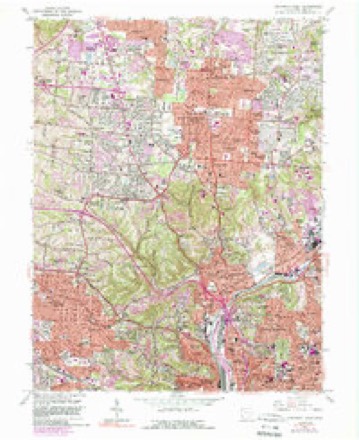
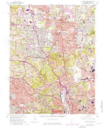
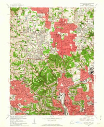
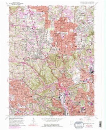
18 topographic sheets cover this place, the earliest surveyed in 1914 and the latest in 1986. It stands in Cheviot City. It lies in ZIP code area 45211. The Survey maps it on the Cincinnati West quadrangle. 8,658 people lived here at the 2020 count. It stands 909 feet above sea level.
Population over time
2 figuresCheviot grew from 8,375 to 8,658 between 2010 and 2020. These are the recorded population figures Wikidata holds for this place, reached through the Geographic Names Information System number this page is keyed on rather than by name, so they belong to this place and not to another of the same name. Most are census counts, but not all are: an early figure may be a founding or settlement estimate. The change column is computed, and is left blank where more than 20 years separate a figure from the one before it, because a gap that long is not a change between two counts.
| Year | People | Change |
|---|---|---|
| 2010 | 8,375 | |
| 2020 | 8,658 | +283 (+3%) |
Then and now
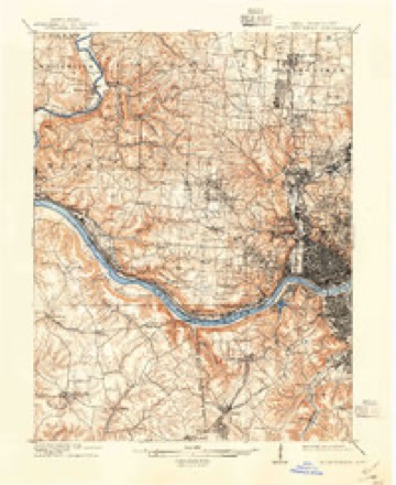
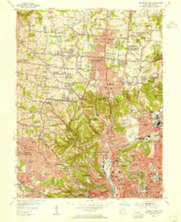
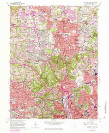
1914 to 1986The same ground, surveyed 72 years apart. Drag the handle to wipe between them. Both sheets are United States Geological Survey originals; neither has been altered.

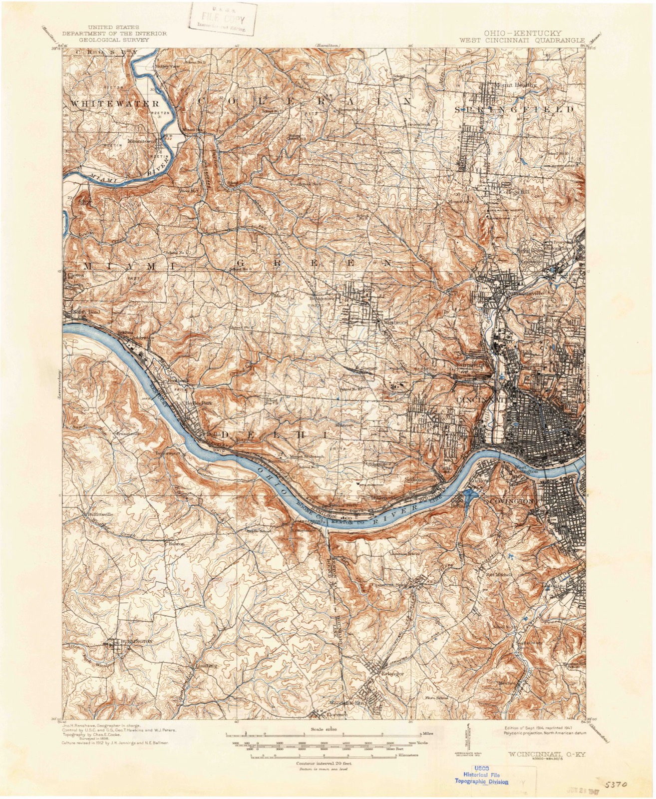
Topographic sheets covering this place
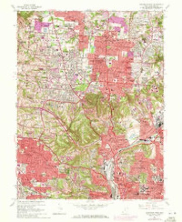
18 sheetsMatched by testing this settlement's coordinate against the published boundary of every sheet in the United States Geological Survey's historical collection. Each opens the scanned sheet at the Survey.
- 1914 USGS West Cincinnati quadrangle1:62500
- 1914 USGS West Cincinnati quadrangle1:62500
- 1914 USGS West Cincinnati quadrangle1:62500
- 1914 USGS West Cincinnati quadrangle1:62500
- 1953 USGS Cincinnati quadrangle1:250000
- 1953 USGS Cincinnati quadrangle1:250000
- 1953 USGS Cincinnati quadrangle1:250000
- 1953 USGS Cincinnati West quadrangle1:24000
- 1957 USGS Cincinnati quadrangle1:250000
- 1961 USGS Cincinnati West quadrangle1:24000
- 1961 USGS Cincinnati West quadrangle1:24000
- 1961 USGS Cincinnati West quadrangle1:24000
- 1961 USGS Cincinnati West quadrangle1:24000
- 1961 USGS Cincinnati West quadrangle1:24000
- 1961 USGS Cincinnati West quadrangle1:24000
- 1986 USGS Cincinnati quadrangle1:100000
- 1986 USGS Cincinnati quadrangle1:100000
- 1986 USGS Cincinnati quadrangle1:100000







In the county-history sources
6,439 words on this townshipHistory of Hamilton County, Ohio, with Illustrations and Biographical Sketches, published 1881 names this settlement in its chapter on Cheviot City. These are the passages that mention it, exactly as the scans read.
In his later years the Hon. Samuel Lewis, the famous philanthropist and educator, long of Cincinnati, resided near Cheviot, upon a farm he owned there. He continued his labors for humanity almost to the end of life, often preaching in the neighboring churches. He died upon his place here, after a long career of usefulness, July 28, 1854.
Passage source: History of Hamilton County, Ohio, with Illustrations and Biographical Sketches, published 1881.
At Cheviot, on the Fourth of July, 1832, there was a noteworthy celebration. Fenton's Cheviot infantry and Palmerton's Delhi infantry made a brave parade, escorting the orator of the day. General William Henry Harrison, to the Presbyterian church, where the exercises took place. Mr. Enoch Carson was reader of the declaration, and the Rev. Messrs. Williamson and Biddle were the chaplains of the day. Messrs. Price and Carpenter served as committeemen. The dinner was at Rush's hotel, where the popular old time song, "The Death of Warren," was given amid much applause.
Passage source: History of Hamilton County, Ohio, with Illustrations and Biographical Sketches, published 1881.
Cheviot, and two miles from the northern and western township lines, respectively. It has about two hundred inhabitants. Here lives the Hon. Charles Reemelin, formerly member of Congress, who is noticed at considerable length in the chapter on the German element in Cincinnati, in the second division of this work.
Passage source: History of Hamilton County, Ohio, with Illustrations and Biographical Sketches, published 1881.
Machine-read from a century-old scan, so expect the errors a machine makes: misspelled names, dropped words, stray characters.
Read the whole chapter on Cheviot City - it names this place 11 more 11 times.
Specimens collected near this place
12 of 4,705 shownRegional context, not property-specific evidence. Museums hold 4,705 specimens collected within 10 miles of Cheviot between 1819 and 1975: 2,166 Fungi, 1,487 Animalia, 871 Plantae, 140 Protozoa, 21 Unrecorded, 19 Chromista, 1 Bacteria. 12 distinct Species records are shown. Collected by A Schwartz, A. Braun, A. F. Braun and others. Each is a physical object with a catalogue number, and each entry opens the museum's record. This is what was collected and kept, not a survey of what lives here - nothing can be concluded from a species being absent.
| Image | Species | Year | Collected by | Where, as recorded |
|---|---|---|---|---|
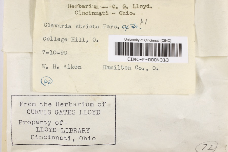 | Clavaria striata Pers. | 1899 | Aiken, Walter H. | College Hill |
 | Corticium polyporoideum Berk. & M.A.Curtis | 1899 | C.G. Lloyd | Cincinnati |
 | Microsphaera diffusa Cooke & Peck | 1899 | Aiken, Walter H. | Cincinnati |
 | Quercus × leana Nutt. | 1819 | Thomas Nuttall | 3 miles North of Cincinnati |
 | Atrichum angustatum (Brid.) Bruch & Schimp. | 1820 | T. G. Lea | probably Cincinnatti |
 | Barbula unguiculata Hedw. | 1820 | T. G. Lea | probably Cincinnatti |
 | Rhus venenata DC. | 1830 | Clark, Joseph | North of Cincinnati |
 | Equisetum arvense L. | 1834 | Short, Charles Wilkins; Lea, Thomas G. | Cincinnati |
 | Carex comosa Boott | 1835 | Collector unspecified | In citivate Ohio prope Cincinnati. [Inferred locality from precise loc.] |
 | Carex davisii Schwein. & Torr. | 1835 | Frank | in ditione Miami civitatis Ohio |
 | Carex lupulina Muhl. ex Willd. | 1835 | Joseph C. Frank | Cincinnati. |
| Albugo candida (Pers. ex J.F.Gmel.) Roussel | 1897 | Kellerman, W.A. | College Hill |
All 4,705 specimens within 10 miles, at the Global Biodiversity Information Facility.
Mines and quarries near this place
3 within 5 milesRegional context, not property-specific evidence. The federal mineral resources record lists 3 workings within 5 miles of Cheviot: 3 past producers. None of them still produces. What was taken out: Salt. Distance is straight-line from the map coordinates, so a quarry counted here may appear on a neighbouring settlement's page as well.
| Where | Site | Commodity | Status | Recorded |
|---|---|---|---|---|
| Cargill Salt Terminal | Salt | Past Producer | ||
| Cincinnati Salt Service | Salt | Past Producer | ||
| Cincinnati Warehouse | Salt | Past Producer |
Storms near this place
7 since 1998Regional context, not property-specific evidence. The National Weather Service names Cheviot in 7 storm reports between 1998 and 2024: 3 thunderstorm wind, 3 flash flood, 1 hail. No death or injury is recorded in these reports. Each account below is quoted exactly as the forecast office filed it, from the NOAA Storm Events Database, and each date opens the federal record of that event.
| When | Event | Place named | Harm | What the report says |
|---|---|---|---|---|
| April 2005 | Hail | Cheviot | $15,000 | no account filed |
| May 2024 | Flash Flood | Cheviot | $10,000 | An apartment was flooded along Gobel Street, north of Harrison Avenue near Westwood Commons. |
| May 2024 | Flash Flood | Cheviot | $5,000 | A high water rescue was needed along Yoast Avenue. |
| June 2009 | Thunderstorm Wind | Cheviot | $3,000 | Trees and power poles were blown down. |
| March 2017 | Flash Flood | Cheviot | $2,000 | A delivery truck and a pickup truck were stranded in high water on Gobel Avenue in Westwood. The water was over the hood of the pickup truck. |
| June 1998 | Thunderstorm Wind | Cheviot | - | Winds gusted to an estimated 70 mph. |
| May 2011 | Thunderstorm Wind | Cheviot | - | no account filed |
Nearest settlements
The eight closest, with where each one stands in the county. Distances are straight-line, computed from the Geographic Names Information System coordinates.
| Map | Place | Distance | Sheets |
|---|---|---|---|
| Westwood | 0.9 miles | 18 | |
| Bridgetown | 1.3 miles | 19 | |
| Werk Place | 1.5 miles | 18 | |
| Mount Airy Center | 1.8 miles | 18 | |
| LaFeuille Terrace | 1.9 miles | 18 | |
| Mack | 1.9 miles | 19 | |
| Cyclorama Heights | 2.1 miles | 18 | |
| Summit | 2.1 miles | 18 |
Elsewhere
Matched on this settlement's Geographic Names Information System number rather than its name, so it cannot be a different place of the same name in another state.
| Wikipedia article on Cheviot | An encyclopaedic summary. Its text is share-alike, so it is linked here rather than copied. |
| Wikidata item Q2201160 | The structured record the population and elevation above come from. Public domain (CC0). |
Provenance
This settlement is recorded in the Geographic Names Information System as feature 1056799. The sheet list is computed by point-in-boundary test against the United States Geological Survey's historical topographic inventory. Both are works of the United States government and carry no copyright under 17 U.S.C. 105.
Specimens. Global Biodiversity Information Facility (GBIF), https://www.gbif.org/. Only records licensed CC0 or CC BY are used. Records licensed CC BY-NC are excluded because this site carries advertising. Images are checked individually and any whose licence is non-commercial, no-derivatives or unreadable is refused.
Mines and quarries. USGS Mineral Resources Data System (MRDS) https://mrdata.usgs.gov/mrds/ A work of the United States government, no copyright under 17 U.S.C. 105.
Storms. NOAA National Centers for Environmental Information, Storm Events Database https://www.ncei.noaa.gov/stormevents/ A work of the United States government, no copyright under 17 U.S.C. 105. Narratives are quoted verbatim from the National Weather Service report and are not edited or summarised.