 Block
Block
Christiansburg, Ohio
15 topographic sheets cover this place, the earliest surveyed in 1914 and the latest in 1986. It stands in Jackson Township. It lies in ZIP code area 45389. The Survey maps it on the Christiansburg quadrangle. 505 people lived here at the 2020 count. It stands 1,115 feet above sea level.
Population over time
2 figuresChristiansburg fell from 526 to 505 between 2010 and 2020. These are the recorded population figures Wikidata holds for this place, reached through the Geographic Names Information System number this page is keyed on rather than by name, so they belong to this place and not to another of the same name. Most are census counts, but not all are: an early figure may be a founding or settlement estimate. The change column is computed, and is left blank where more than 20 years separate a figure from the one before it, because a gap that long is not a change between two counts.
| Year | People | Change |
|---|---|---|
| 2010 | 526 | |
| 2020 | 505 | -21 (-4%) |
Then and now
1914 to 1986The same ground, surveyed 72 years apart. Drag the handle to wipe between them. Both sheets are United States Geological Survey originals; neither has been altered.

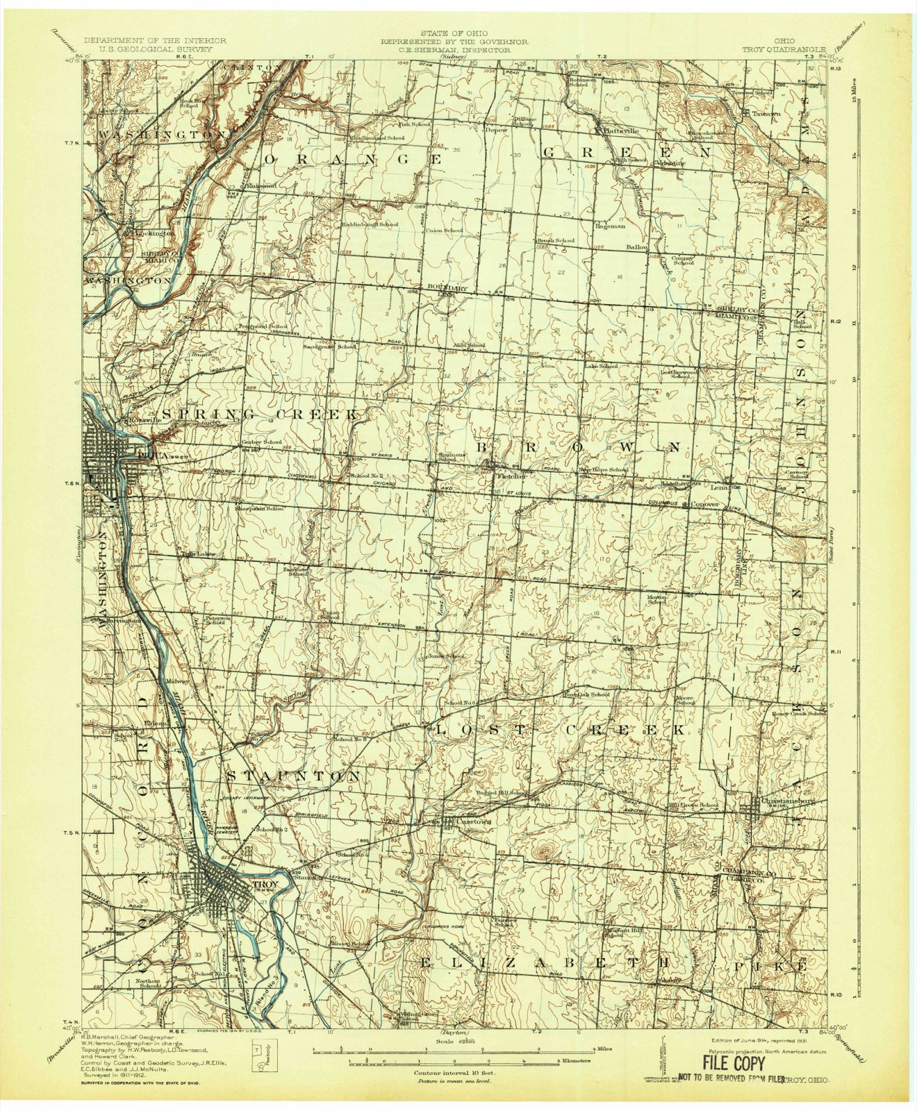
Topographic sheets covering this place
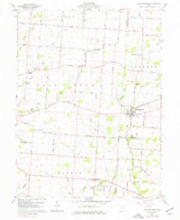
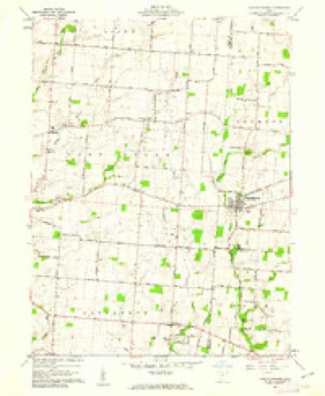
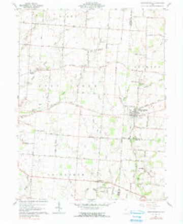
15 sheetsMatched by testing this settlement's coordinate against the published boundary of every sheet in the United States Geological Survey's historical collection. Each opens the scanned sheet at the Survey.
- 1914 USGS Troy quadrangle1:62500
- 1914 USGS Troy quadrangle1:62500
- 1944 USGS Troy quadrangle1:62500
- 1953 USGS Muncie quadrangle1:250000
- 1953 USGS Muncie quadrangle1:250000
- 1953 USGS Muncie quadrangle1:250000
- 1953 USGS Muncie quadrangle1:250000
- 1953 USGS Muncie quadrangle1:250000
- 1956 USGS Muncie quadrangle1:250000
- 1961 USGS Christiansburg quadrangle1:24000
- 1961 USGS Christiansburg quadrangle1:24000
- 1961 USGS Christiansburg quadrangle1:24000
- 1986 USGS Piqua quadrangle1:100000
- 1986 USGS Piqua quadrangle1:100000
- 1986 USGS Piqua quadrangle1:100000









In the county-history sources
162,413 words on this townshipThe History of Champaign County, Ohio, Containing a History of the County; Its Cities, Towns, Etc.; General and Local Statistics; Portraits of Early Settlers and Prominent Men; History of the Northwest Territory; History of Ohio; Map of Champaign County; Constitution of the United States, Miscellaneous Matters .., published 1881 names this settlement in its chapter on Jackson Township. These are the passages that mention it, exactly as the scans read.
V^GEORGK McCULLOUGH, farmer and dealer in fruit-trees; P. 0. Christiansburg ; was born in Greene Co., Penn., June 5, 1817, and is a son of William and Susan (Shidler) McCullough, both natives of Pennsylvania. She was born May 7, 1797, and h-e Aug. 19, 1793. In 1823, they came to Ohio and settled in Lost Creek Township, Miami Co., where the remainder of their lives was spent. He was a well-to-do farmer and had been identified with most of the offices of his township. Seven children were the issue of their marriage ; all grew to maturity, and five are still living - George, Catharine (now Mrs. Aaron Lane, of Missouri), Mary (now Mrs. David Puterbaugh, of Indiana), Peter (now a prominent minister in the Christian Church, entering the ministerial office at the age of 18), and Susan, wife of Rev. T. A. Branden, a prominent minister of the Christian Church, of Union City, Ind. Susan McCullough departed this life, Jan. 15, 1849 ; he survived till Jan. 11, of the following year. They had been zealous, exemplary Christian people, and brought their children up in the Christian Church. G-eorge worked at home for his parents until 28 years of age, and assisted in clearing up 200 acres of land. He remembers how the deer used to take their little crop almost entirely. Wild turkeys were also numerous and destructive to crops. In 1849, G-eorge moved to Addison, and engaged in the mercantile business, handling a general line of goods. For some time he has been a dealer in fruit-trees. He also owns 121 acres of land, in two separate tracts, all in a high state of cultivation. He served as Revenue Assessor about five years, and was Postmaster several years. On the 18th of November, 1849, he was united in marriage with Amanda S. Warner. She was born at Springfield, Clark Co., May 5, 1830. Four children have been born to them, viz., Derostus M., Emma C., Lillia F. and George W. They are all members of the church. D. M. is a prominent grocer, of Troy, Ohio ; Emma C. is now the wife of Rev. H. E. Smith, of Blanchester, Ohio.
Machine-read from a century-old scan, so expect the errors a machine makes: misspelled names, dropped words, stray characters.
Read the whole chapter on Jackson Township - it names this place 5 more 5 times.
Fires near this place
3 since 2002Regional context, not property-specific evidence. The federal wildfire occurrence database lists 3 fires within 5 miles of Christiansburg between 2002 and 2002, burning about 25 acres in total. None started naturally. 1 was recorded as arson. Distance is straight-line from the map coordinates, so a fire counted here may appear on a neighbouring settlement's page as well.
| Reported cause | Fires |
|---|---|
| Debris and open burning | 1 |
| Recreation and ceremony | 1 |
| Arson/incendiarism | 1 |
The most recent of them, most recent first, with the day each was reported and the service that recorded it.
| Date | Cause | Size | Reported by | Name on the report |
|---|---|---|---|---|
| 12 September 2002 | Recreation and ceremony | under an acre | Ohio State Fire Marshal's Office | not named |
| 11 July 2002 | Arson/incendiarism | under an acre | Ohio State Fire Marshal's Office | not named |
| 8 March 2002 | Debris and open burning | 25 acres | Ohio State Fire Marshal's Office | not named |
Settlements close enough to share some of these fires:
Specimens collected near this place
12 of 106 shownRegional context, not property-specific evidence. Museums hold 106 specimens collected within 10 miles of Christiansburg between 1916 and 1974: 67 Animalia, 25 Plantae, 11 Fungi, 3 Protozoa. 12 distinct Species records are shown. Collected by Andrew R. Moldenke, Clark, C. F. (Clarence F.), Coovert, G. A. (Gary A.) and others. Each is a physical object with a catalogue number, and each entry opens the museum's record. This is what was collected and kept, not a survey of what lives here - nothing can be concluded from a species being absent.
| Image | Species | Year | Collected by | Where, as recorded |
|---|---|---|---|---|
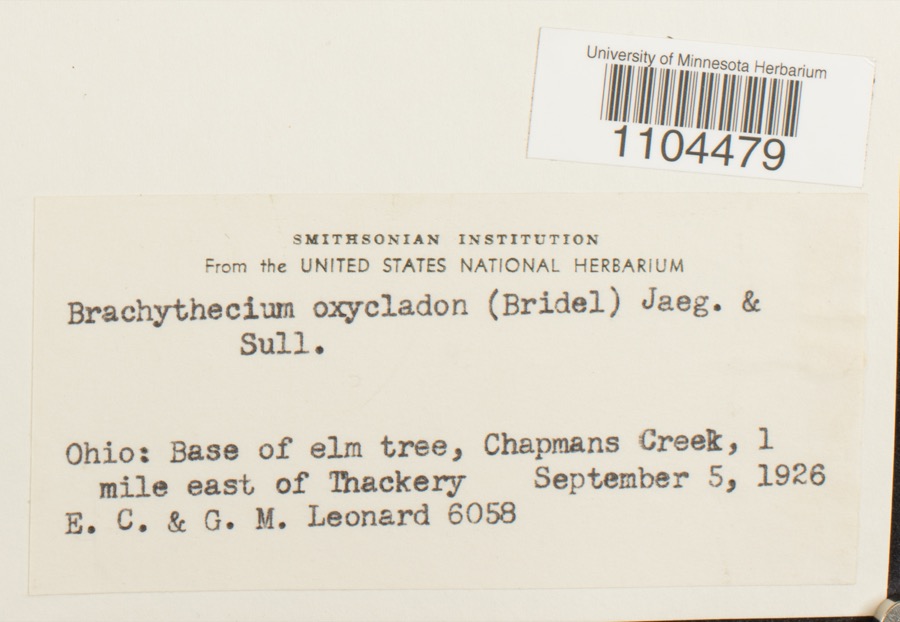 | Brachythecium oxycladon (Brid.) A.Jaeger | 1926 | E.C. Leonard | Chapmans Creek, 1 mile east of Thackery |
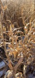 | Phalaris arundinacea L. | 1916 | EC Leonard | Chapman's [Chapman] Creek E of Thackery. |
 | Lycoperdon perlatum Pers. | 1921 | Leonard Emery C. | Thackery Miller's woods near home farm, 1 1/4 mi. E of Thackery |
 | Porella platyphylla (L.) Pfeiff. | 1921 | E. C. Leonard | Miller's Woods, about 1 mile northeast of Thackery |
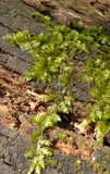 | Rhynchostegium serrulatum (Hedw.) A.Jaeger | 1921 | E. C. Leonard | Miller's Woods, about 1 mile northeast of Thackery |
 | Bryum caespiticium Hedw. | 1925 | E. C. Leonard | In Dibert's woods 1 mi E of Thackery |
 | Campylophyllum hispidulum (Brid.) Hedenäs | 1925 | E. C. Leonard | Dibert's Woods, 1 mi. E of Thackery |
 | Hygroamblystegium tenax subsp. orthocladon (P.Beauv.) Wijk & Margad. | 1925 | E. C. Leonard | In Dibert's woods 1 mi E of Thackery |
 | Anomodon attenuatus (Hedw.) Huebener | 1926 | E. C. Leonard | Folty's woods 1/4 mi SE of Thackery |
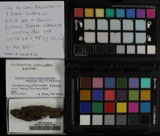 | Cribraria intricata Schrad., 1797 | 1926 | Leonard, G. M. | 1/4 mi. southeast of Thachery |
| Entodon cladorrhizans (Hedw.) Müll.Hal. | 1926 | E. C. Leonard | Folty's Woods, 0.5 mi. SE of Thackery | |
 | Entodon seductrix (Hedw.) Müll.Hal. | 1926 | E. C. Leonard | Near bridge over Chapman Creek, 1 mi. E of Thackery |
All 106 specimens within 10 miles, at the Global Biodiversity Information Facility.
Storms near this place
12 since 1996Regional context, not property-specific evidence. The National Weather Service names Christiansburg in 12 storm reports between 1996 and 2023: 10 thunderstorm wind, 1 flood, 1 tornado. No death or injury is recorded in these reports. Each account below is quoted exactly as the forecast office filed it, from the NOAA Storm Events Database, and each date opens the federal record of that event.
| When | Event | Place named | Harm | What the report says |
|---|---|---|---|---|
| July 1996 | Thunderstorm Wind | Christiansburg | $50,000 | no account filed |
| June 2023 | Tornado (EF0) | Christiansburg | $20,000 | The first damage was noted along South Lincoln Street where a few limbs were downed. From there, as the tornado slightly increased in intensity, the tree damage became more extensive along both North Lincoln Street and North Monroe Street between Pike Street and East 4th Street. Here, numerous large limbs were snapped off with most trees along these streets experiencing some damage. As the tornado exited Christiansburg on the north side of town along South Elm Tree Road, tree damage became less concentrated, but large limbs were still downed, especially along the west side of South Elm Tree Road. The tornado likely lifted in an open field between South Elm Tree Road and North Bollinger Road.||Damage along the tornado path suggested a maximum wind speed estimated at 75 mph. |
| February 2023 | Thunderstorm Wind | Christiansburg | $5,000 | A barn was damaged. |
| April 2023 | Thunderstorm Wind | Christiansburg | $5,000 | Several trees were downed. A few shingles were blown off a house. |
| September 2010 | Thunderstorm Wind | Christiansburg | $5,000 | Multiple trees and power poles were reported down on Cow Path Road. |
| May 2018 | Thunderstorm Wind | Christiansburg | $3,000 | A tree was downed onto some power lines. |
| July 2003 | Thunderstorm Wind | Christiansburg | $3,000 | Trees were knocked down. |
| July 2003 | Thunderstorm Wind | Christiansburg | $2,000 | Large limbs and one tree were downed. |
| July 2016 | Thunderstorm Wind | Christiansburg | $1,000 | A tree was downed across State Route 55. |
| July 2013 | Thunderstorm Wind | Christiansburg | $1,000 | A tree was downed in Christiansburg due to thunderstorm winds. |
| December 2011 | Flood | Christiansburg | $1,000 | Water was reported over roads at many locations in the county due to heavy rainfall. |
| May 2015 | Thunderstorm Wind | Christiansburg | - | One large tree limb was downed. |
Nearest settlements
The eight closest, with where each one stands in the county. Distances are straight-line, computed from the Geographic Names Information System coordinates.
| Map | Place | Distance | Sheets |
|---|---|---|---|
| Proctor (historical) | 2.9 miles | 12 | |
| Darnell | 4.9 miles | 12 | |
| Thackery | 5.7 miles | 12 | |
| Paris Court West | 5.9 miles | 13 | |
| Paris Court East | 6.1 miles | 12 | |
| Saint Paris | 6.1 miles | 13 | |
| Terre Haute | 7.9 miles | 12 | |
| Millerstown | 8.9 miles | 13 |
Elsewhere
Matched on this settlement's Geographic Names Information System number rather than its name, so it cannot be a different place of the same name in another state.
| Wikipedia article on Christiansburg | An encyclopaedic summary. Its text is share-alike, so it is linked here rather than copied. |
| Wikidata item Q599407 | The structured record the population and elevation above come from. Public domain (CC0). |
Provenance
This settlement is recorded in the Geographic Names Information System as feature 1060962. The sheet list is computed by point-in-boundary test against the United States Geological Survey's historical topographic inventory. Both are works of the United States government and carry no copyright under 17 U.S.C. 105.
Wildfire. Short, Karen C. 2022. Spatial wildfire occurrence data for the United States, 1992-2020 [FPA_FOD_20221014]. 6th Edition. Fort Collins, CO: Forest Service Research Data Archive. https://doi.org/10.2737/RDS-2013-0009.6 Collected with United States Government funding and usable without additional permissions or fees.
Specimens. Global Biodiversity Information Facility (GBIF), https://www.gbif.org/. Only records licensed CC0 or CC BY are used. Records licensed CC BY-NC are excluded because this site carries advertising. Images are checked individually and any whose licence is non-commercial, no-derivatives or unreadable is refused.
Storms. NOAA National Centers for Environmental Information, Storm Events Database https://www.ncei.noaa.gov/stormevents/ A work of the United States government, no copyright under 17 U.S.C. 105. Narratives are quoted verbatim from the National Weather Service report and are not edited or summarised.