 Block
Block
Clinton, Ohio
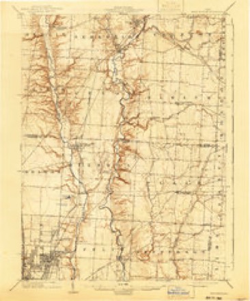
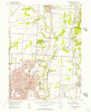
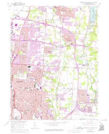
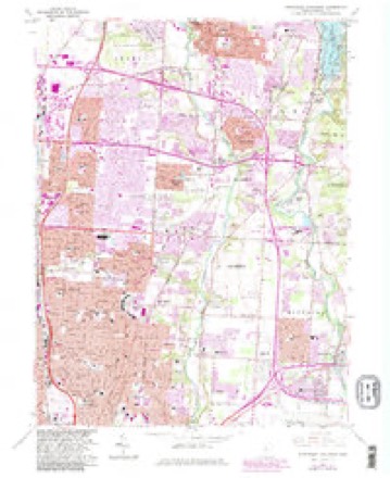
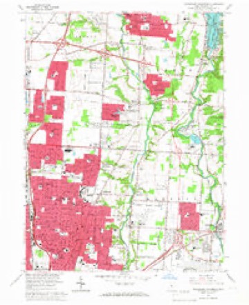
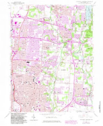
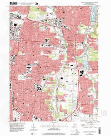
14 topographic sheets cover this place, the earliest surveyed in 1902 and the latest in 1995. It stands in Columbus City. It lies in ZIP code area 43224. The Survey maps it on the Northeast Columbus quadrangle.
Then and now
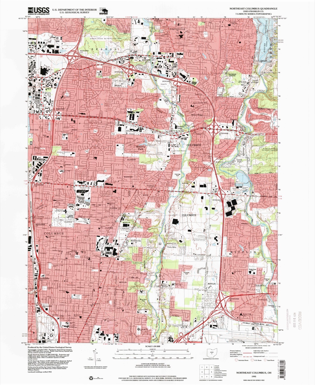
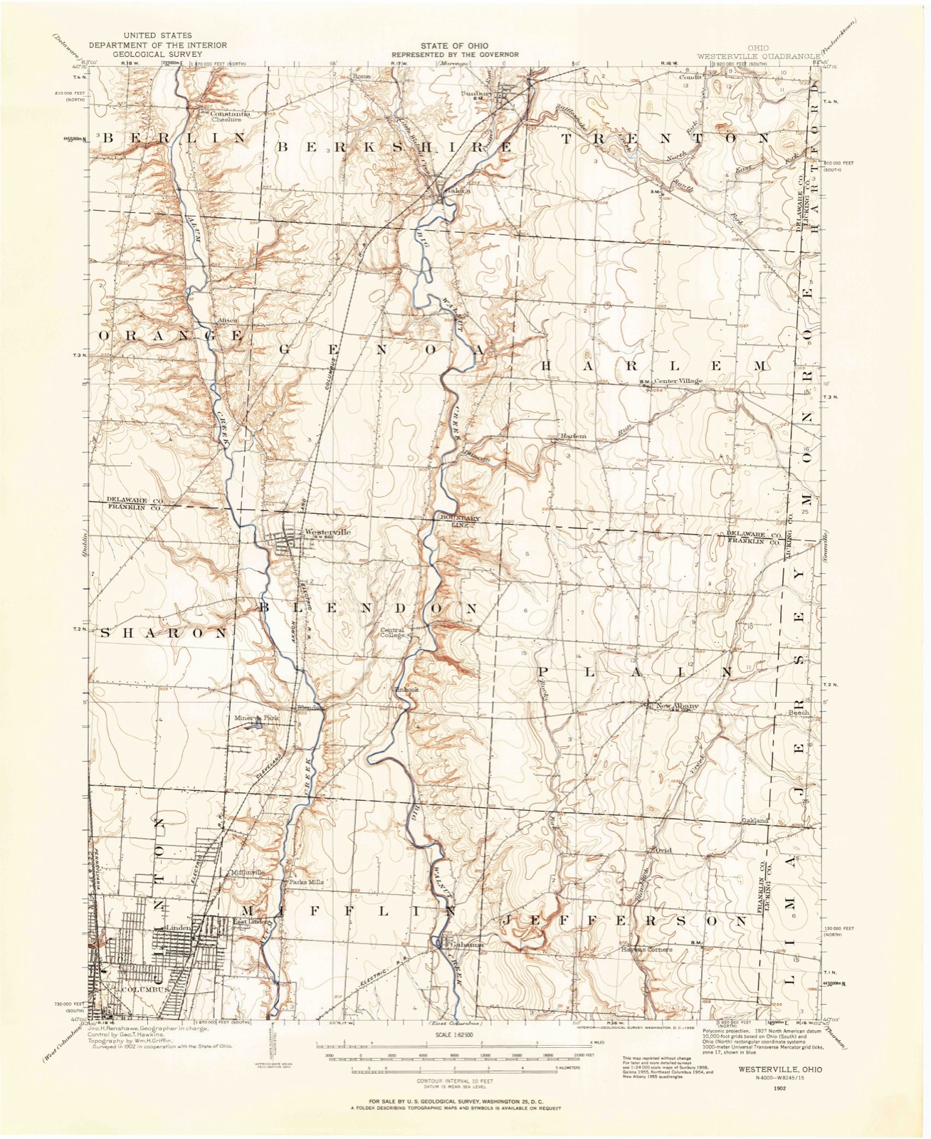
1902 to 1995The same ground, surveyed 93 years apart. Drag the handle to wipe between them. Both sheets are United States Geological Survey originals; neither has been altered.
Topographic sheets covering this place
14 sheetsMatched by testing this settlement's coordinate against the published boundary of every sheet in the United States Geological Survey's historical collection. Each opens the scanned sheet at the Survey.
- 1902 USGS Westerville quadrangle1:62500
- 1904 USGS Westerville quadrangle1:62500
- 1904 USGS Westerville quadrangle1:62500
- 1950 USGS Marion quadrangle1:250000
- 1954 USGS Northeast Columbus quadrangle1:24000
- 1962 USGS Marion quadrangle1:250000
- 1964 USGS Northeast Columbus quadrangle1:24000
- 1964 USGS Northeast Columbus quadrangle1:24000
- 1964 USGS Northeast Columbus quadrangle1:24000
- 1964 USGS Northeast Columbus quadrangle1:24000
- 1966 USGS Marion quadrangle1:250000
- 1966 USGS Marion quadrangle1:250000
- 1966 USGS Marion quadrangle1:250000
- 1995 USGS Northeast Columbus quadrangle1:24000





What happened here
An account from the chapter on Columbus city, The inset identifies its exact source book and publication year.
Beginnings Of Ohio
The Mound Builders and Indians - First White Settlements and Struggle for Possession - Indian Village at the Forks of the Scioto Attacked by Crawford and Dispersed - The Ohio Company, the Scioto Company and Symmes Purchase - Indian Power Broken and British Hopes Blasted - First Surveys - Topography, Geology and Soil of Franklin County.
In the county-history sources
895,918 words on this townshipHistory of Franklin County [Ohio]:, published 1858 names this settlement in its chapter on Columbus City. These are the passages that mention it, exactly as the scans read.
On the 4th of July, 1825, a celebration of the commencement of the Ohio Canal, took place at Licking Summit, at which Governor Clinton, of New York, pursuant to invitation, attended, accompanied by Solomon Van Rensselaer, and Messrs. Rathbone and Lord, who made the first loan to the State for canal purposes. On the Wednesday following. Governor Clinton was escorted into Columbus by Gen. Warner and suite. Col. P. H. Olmsted's squadron of cavalry, Capt. Hazel's light infantry, Capt. Andrew McElvain's rifle corps, and Capt.
Passage source: History of Franklin County [Ohio]:, published 1858.
To which Gov. Clinton made an appropriate reply, eulogizing our State, and our canal enterprise, and closing with this sentence : " In five years it may, and probably will be completed, and I am clearly of the opinion, that in ten years after the consummation of this ivorJc, it tvill produce an annual revenue of at least a million of dollars ; and I hope this remark may be noted, if any thing I say shall be deemed worthy of particular notice, in order that its accuracy may be tested by experience."
Passage source: History of Franklin County [Ohio]:, published 1858.
Alas, for the Governor's prediction ! Gov. Clinton w^as, perhaps, one of our most able and practical statesmen. But his prediction here only shows the truth of the old saying, " that it is the easiest thing in the world to be mistaken;" and that the predictions of those, however high in position, who with confidence attempt to peer far into the future, should always be received with great caution.
Passage source: History of Franklin County [Ohio]:, published 1858.
Machine-read from a century-old scan, so expect the errors a machine makes: misspelled names, dropped words, stray characters.
Read the whole chapter on Columbus City - it names this place 5 more 5 times.
Fires near this place
2 since 2007Regional context, not property-specific evidence. The federal wildfire occurrence database lists 2 fires within 5 miles of Clinton between 2007 and 2011, burning about 0 acres in total. None started naturally. None was recorded as arson. Distance is straight-line from the map coordinates, so a fire counted here may appear on a neighbouring settlement's page as well.
| Reported cause | Fires |
|---|---|
| Missing data/not specified/undetermined | 1 |
| Debris and open burning | 1 |
The most recent of them, most recent first, with the day each was reported and the service that recorded it.
| Date | Cause | Size | Reported by | Name on the report |
|---|---|---|---|---|
| 26 October 2011 | Missing data/not specified/undetermined | under an acre | Ohio Department of Natural Resources | not named |
| 10 October 2007 | Debris and open burning | under an acre | Ohio Department of Natural Resources | not named |
Settlements close enough to share some of these fires:
Specimens collected near this place
12 of 10,381 shownRegional context, not property-specific evidence. Museums hold 10,381 specimens collected within 10 miles of Clinton between 1804 and 1975: 8,379 Animalia, 1,279 Fungi, 575 Plantae, 117 Chromista, 30 Unrecorded, 1 Protozoa. 12 distinct Species records are shown. Collected by 19 V 1938 in original publication, Knull, =, ? and others. Each is a physical object with a catalogue number, and each entry opens the museum's record. This is what was collected and kept, not a survey of what lives here - nothing can be concluded from a species being absent.
| Image | Species | Year | Collected by | Where, as recorded |
|---|---|---|---|---|
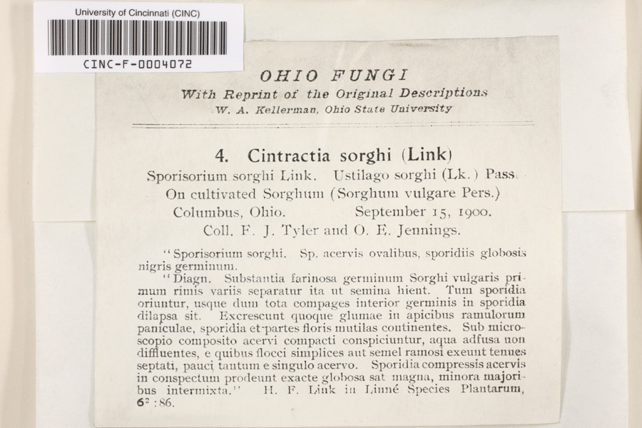 | Cintractia sorghi (Sorokn) De Toni | 1900 | Tyler, F.J.; O. E. Jennings | Columbus |
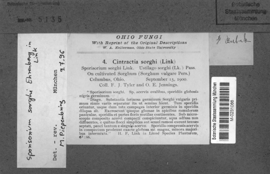 | Sorghum bicolor (L.) Moench | 1900 | Jennings, O.E. | Columbus, Ohio. |
 | Juniperus virginiana var. virginiana | 1804 | Dr. Paddock | Worthington |
 | Platanthera psycodes (L.) Lindl. | 1805 | J. R. Paddock | Worthington |
 | Carex comosa Boott | 1809 | Collector unknown | Worthington, O. [Inferred county from precise loc.] |
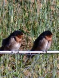 | Hirundo Linnaeus, 1758 | 1814 | not recorded | Columbus Ohio, Franklin, Ohio, USA |
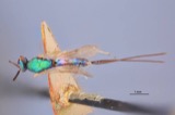 | Callimome strobiloides Huber, 1927 | 1821 | C. Huber | Columbus |
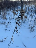 | Solidago riddellii Frank | 1832 | W. A. Kellerman | A few miles N of Columbus. |
 | Carex lupulina Muhl. ex Willd. | 1834 | Anonymous | Columbus. |
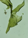 | Anomodon viticulosus (Hedw.) Hook. & Taylor | 1837 | W. S. Sullivant | Near Columbus |
 | Acris crepitans blanchardi Harper, 1947 | 1897 | not recorded | No Further Locality Data |
| Albugo candida (Pers. ex J.F.Gmel.) Roussel | 1897 | Clevenger, J. F. | Columbus |
All 10,381 specimens within 10 miles, at the Global Biodiversity Information Facility.
Nearest settlements
The eight closest, with where each one stands in the county. Distances are straight-line, computed from the Geographic Names Information System coordinates.
| Map | Place | Distance | Sheets |
|---|---|---|---|
| Mifflinville | 0.6 miles | 14 | |
| Moores Corners | 1.3 miles | 14 | |
| Linden | 1.6 miles | 14 | |
| Parks Mills | 1.6 miles | 14 | |
| East Linden | 1.7 miles | 14 | |
| Minerva Park | 2.6 miles | 14 | |
| Blendon Corner | 3.2 miles | 14 | |
| Sharon | 3.5 miles | 14 |
Provenance
This settlement is recorded in the Geographic Names Information System as feature 1056816. The sheet list is computed by point-in-boundary test against the United States Geological Survey's historical topographic inventory. Both are works of the United States government and carry no copyright under 17 U.S.C. 105.
Wildfire. Short, Karen C. 2022. Spatial wildfire occurrence data for the United States, 1992-2020 [FPA_FOD_20221014]. 6th Edition. Fort Collins, CO: Forest Service Research Data Archive. https://doi.org/10.2737/RDS-2013-0009.6 Collected with United States Government funding and usable without additional permissions or fees.
Specimens. Global Biodiversity Information Facility (GBIF), https://www.gbif.org/. Only records licensed CC0 or CC BY are used. Records licensed CC BY-NC are excluded because this site carries advertising. Images are checked individually and any whose licence is non-commercial, no-derivatives or unreadable is refused.