 Block
Block
Dodsonville, Ohio
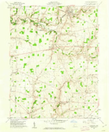
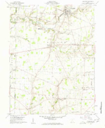
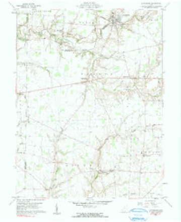
12 topographic sheets cover this place, the earliest surveyed in 1917 and the latest in 1986. It stands in Dodson Township. It lies in ZIP code area 45142. It stands on Anthony Run. The Survey maps it on the Lynchburg quadrangle.
Then and now
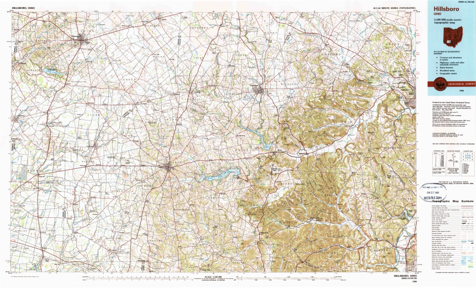
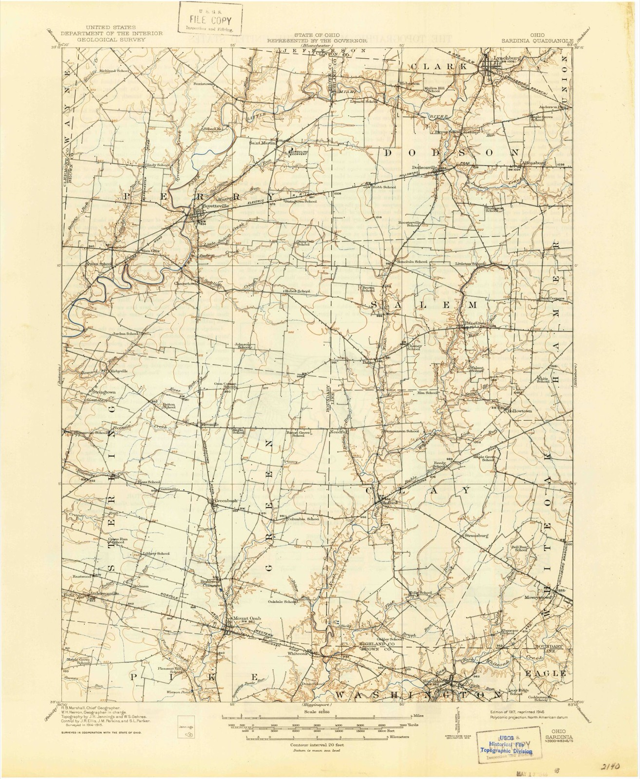
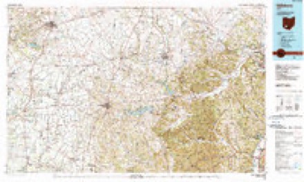
1917 to 1986The same ground, surveyed 69 years apart. Drag the handle to wipe between them. Both sheets are United States Geological Survey originals; neither has been altered.
Topographic sheets covering this place
12 sheetsMatched by testing this settlement's coordinate against the published boundary of every sheet in the United States Geological Survey's historical collection. Each opens the scanned sheet at the Survey.
- 1917 USGS Sardinia quadrangle1:62500
- 1944 USGS Sardinia quadrangle1:62500
- 1947 USGS Columbus quadrangle1:250000
- 1960 USGS Lynchburg quadrangle1:24000
- 1960 USGS Lynchburg quadrangle1:24000
- 1960 USGS Lynchburg quadrangle1:24000
- 1961 USGS Columbus quadrangle1:250000
- 1962 USGS Columbus quadrangle1:250000
- 1967 USGS Columbus quadrangle1:250000
- 1967 USGS Columbus quadrangle1:250000
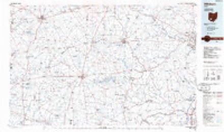
- 1986 USGS Hillsboro quadrangle1:100000
- 1986 USGS Hillsboro quadrangle1:100000





Photographs
1 photograph,Taken for the Office of War Information and the Farm Security Administration, who photographed the country between 1935 and 1944. Works of United States government photographers, with no known restriction on use. Each opens its catalogue record.
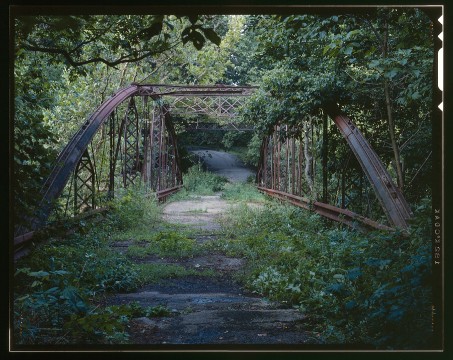
Unattributed, . Library of Congress
Specimens collected nearby
12 of 35 shownMuseums hold 35 specimens collected within 10 miles of Dodsonville between 1916 and 1971: 23 Animalia, 11 Fungi, 1 Plantae. 12 distinct Species records are shown. Collected by A. B. Seymour, Braun, E. Lucy, Clarke, Arthur H. and others. Each is a physical object with a catalogue number, and each entry opens the museum's record. This is what was collected and kept, not a survey of what lives here - nothing can be concluded from a species being absent.
| Image | Species | Year | Collected by | Where, as recorded |
|---|---|---|---|---|
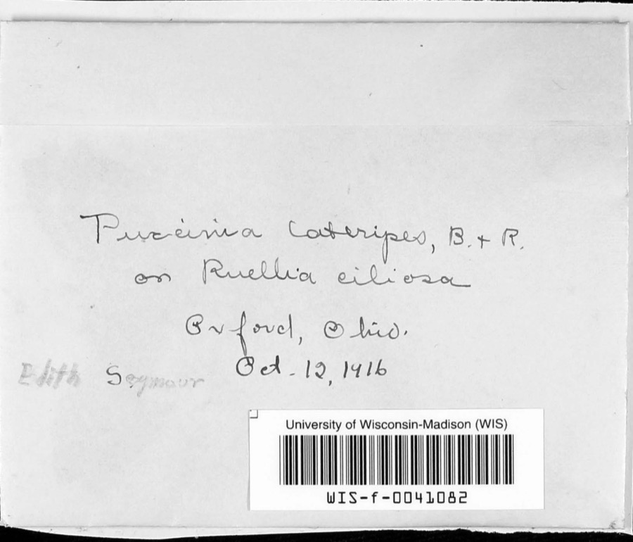 | Puccinia lateripes Berk. & Ravenel | 1916 | A. B. Seymour | |
 | Cladonia coniocraea (Flörke) Spreng. | 1923 | Braun, E. Lucy | Klock's Crossing |
 | Ericymba buccata Cope, 1865 | 1938 | Rhoades, R. (Randall) | Turtle Creek, within Dodson township, near Lynchburg, Dodson township |
 | Etheostoma blennioides blennioides Rafinesque, 1819 | 1938 | Rhoades, R. (Randall) | Turtle Creek, south of Lynchburg, ~0.4 mi SE of Lynchburg, Dodson township |
 | Etheostoma flabellare Rafinesque, 1819 | 1938 | Rhoades, R. (Randall) | Turtle Creek, within Dodson township, near Lynchburg, Dodson township |
 | Notropis cornutus chrysocephalus (Rafinesque, 1820) | 1938 | Rhoades, R. (Randall) | Turtle Creek, within Dodson township, near Lynchburg, Dodson township |
 | Orconectes rusticus (Girard, 1852) | 1938 | R. Rhoades | N. Branch of White Oak Creek, 2 mii NE of Buford, Clay Township |
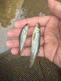 | Phenacobius mirabilis (Girard, 1856) | 1938 | Rhoades, R. (Randall) | Turtle Creek, within Dodson township, near Lynchburg, Dodson township |
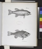 | Huro salmoides (Lacepède, 1802) | 1939 | Rhoades, R. (Randall) & Conneu, H. | Glady Creek, within Clark township, near Lynchburg, Clark township |
 | Percopsis omiscomaycus (Walbaum, 1792) | 1939 | Rhoades, R. (Randall) | East Fork Little Miami River, within Clinton Co, Clinton County, township n/a |
| Lampsilis siliquoidea (Barnes, 1823) | 1941 | Clarke, Arthur H. | East Fork Little Miami Riv., Clark Twp., 2 mi. N of Lynchburg | |
 | Cambarus diogenes Girard, 1852 | 1942 | R. Rhoades | woodland pool about 2 mi. E. of Westboro, Jefferson Township |
All 35 specimens within 10 miles, at the Global Biodiversity Information Facility.
Mines and quarries nearby
1 within 5 milesThe federal mineral resources record lists 1 working within 5 miles of Dodsonville: 1 past producer. None of them still produces. What was taken out: Limestone, General. Distance is straight-line from the map coordinates, so a quarry counted here may appear on a neighbouring settlement's page as well.
| Where | Site | Commodity | Status | Recorded |
|---|---|---|---|---|
| Highland Quarry | Limestone, General | Past Producer | Sedimentary |
Storms nearby
6 since 2014The National Weather Service names Dodsonville in 6 storm reports between 2014 and 2025: 3 thunderstorm wind, 2 tornado, 1 flood. No death or injury is recorded in these reports. Each account below is quoted exactly as the forecast office filed it, from the NOAA Storm Events Database, and each date opens the federal record of that event.
| When | Event | Place named | Harm | What the report says |
|---|---|---|---|---|
| June 2014 | Tornado (EF0) | Dodsonville | $300,000 | The tornado touched down in an open field west of State Route 134, south of Dodsonville. Next to the highway, minor structural damage occurred to a farm building. Heavy tree damage occurred on both sides of Route 134, some of which impacted a home. The tornado continued across the property of Lynchburg-Clay schools. An open-ended storage shed sustained roof removal and partial wall collapse. The high school had a garage door blown out with the interior ceiling collapsing in a narrow hallway. Numerous large branches were snapped on the property, some of which impacted automobiles. Bleachers, a backstop, and other athletic equipment were tossed downstream. A portable toilet was blown over in a northwesterly direction. Debris from damage near Route 134 was also strewn across the athletic fields immediately south of the high school.||Across Dawson Road, a single family home sustained damage to shingles and roofing. A mobile home had a window air conditioner unit blown in from the north and a trampoline was tossed into a tree toward the north. An open-ended, un-anchored garage blew over and collapsed. Numerous large limbs were downed in this vicinity, with one limb breaking the windshield of a car. A narrow path with heavy tree damage clearly indicated where the strongest winds associated with the tornado entered the adjacent woods. Along Dodson Lane, more heavy limb damage occurred. One large limb impacted a garage and truck to the west of Dodson Lane, and another tree limb was blown into a home on the east side of the road. Tree damage was also observed along the tree line behind the homes on the east side of Dodson Lane. On Abernathy Road, an un-anchored large shed was destroyed with debris tossed about 1000 feet downstream. Other outbuildings sustained minor damage, more limbs were downed, and vinyl fencing was blown over. Limb damage was also observed at the edges of field east of the road. Additional tree limb damage occurred on Gibler Road. The last noted damage before the tornado lifted was along the tree line to the east of Gibler Road. Based on the damage surveyed, the maximum estimated wind speed of this tornado was 85 miles per hour. |
| July 2020 | Thunderstorm Wind | Dodsonville | $5,000 | A barn was knocked down. |
| July 2022 | Thunderstorm Wind | Dodsonville | $4,000 | Several trees were uprooted along Murtland Road. |
| April 2025 | Tornado (EF0) | Dodsonville | $1,000 | This tornado began in Brown County near U.S. Route 68, just to the northeast of Fayetteville at 0017EST. The tornado traveled northeast and entered Highland County, just north of Brown County Inn Road at 0020EST. Across far northwest Highland County, the tornado crossed primarily farmland, so there was little visible damage. However, as the tornado entered Clinton County at 0022EST, just south of Wise Road, some tornadic tree damage was observed. The tornado then traveled briefly across far southeast Clinton County, and then back into Highland County before quickly ending near Lynchburg at 0024EST. |
| August 2023 | Thunderstorm Wind | Dodsonville | $1,000 | A large tree was downed over U.S. 50. |
| August 2018 | Flood | Dodsonville | - | High water was reported on U.S. 50 near the Highland/Brown County Line. The water was high enough to make it almost impassible for an SUV. |
Nearest settlements
The eight closest, with where each one stands in the county. Distances are straight-line, computed from the Geographic Names Information System coordinates.
| Map | Place | Distance | Sheets |
|---|---|---|---|
| Allensburg | 2.0 miles | 12 | |
| Webertown | 2.6 miles | 12 | |
| Honolulu (historical) | 2.7 miles | 12 | |
| Luttleton (historical) | 2.8 miles | 12 | |
| Lynchburg | 3.0 miles | 12 | |
| Pricetown | 4.1 miles | 12 | |
| Fairview | 4.5 miles | 13 | |
| Russell | 4.7 miles | 13 |
Elsewhere
Matched on this settlement's Geographic Names Information System number rather than its name, so it cannot be a different place of the same name in another state.
| Wikipedia article on Dodsonville | An encyclopaedic summary. Its text is share-alike, so it is linked here rather than copied. |
| Wikidata item Q24896962 | The structured record the population and elevation above come from. Public domain (CC0). |
Provenance
This settlement is recorded in the Geographic Names Information System as feature 1056260. The sheet list is computed by point-in-boundary test against the United States Geological Survey's historical topographic inventory. Both are works of the United States government and carry no copyright under 17 U.S.C. 105.
Specimens. Global Biodiversity Information Facility (GBIF), https://www.gbif.org/. Only records licensed CC0 or CC BY are used. Records licensed CC BY-NC are excluded because this site carries advertising. Images are checked individually and any whose licence is non-commercial, no-derivatives or unreadable is refused.
Mines and quarries. USGS Mineral Resources Data System (MRDS) https://mrdata.usgs.gov/mrds/ A work of the United States government, no copyright under 17 U.S.C. 105.
Storms. NOAA National Centers for Environmental Information, Storm Events Database https://www.ncei.noaa.gov/stormevents/ A work of the United States government, no copyright under 17 U.S.C. 105. Narratives are quoted verbatim from the National Weather Service report and are not edited or summarised.