 Block
Block
East Freetown, Massachusetts
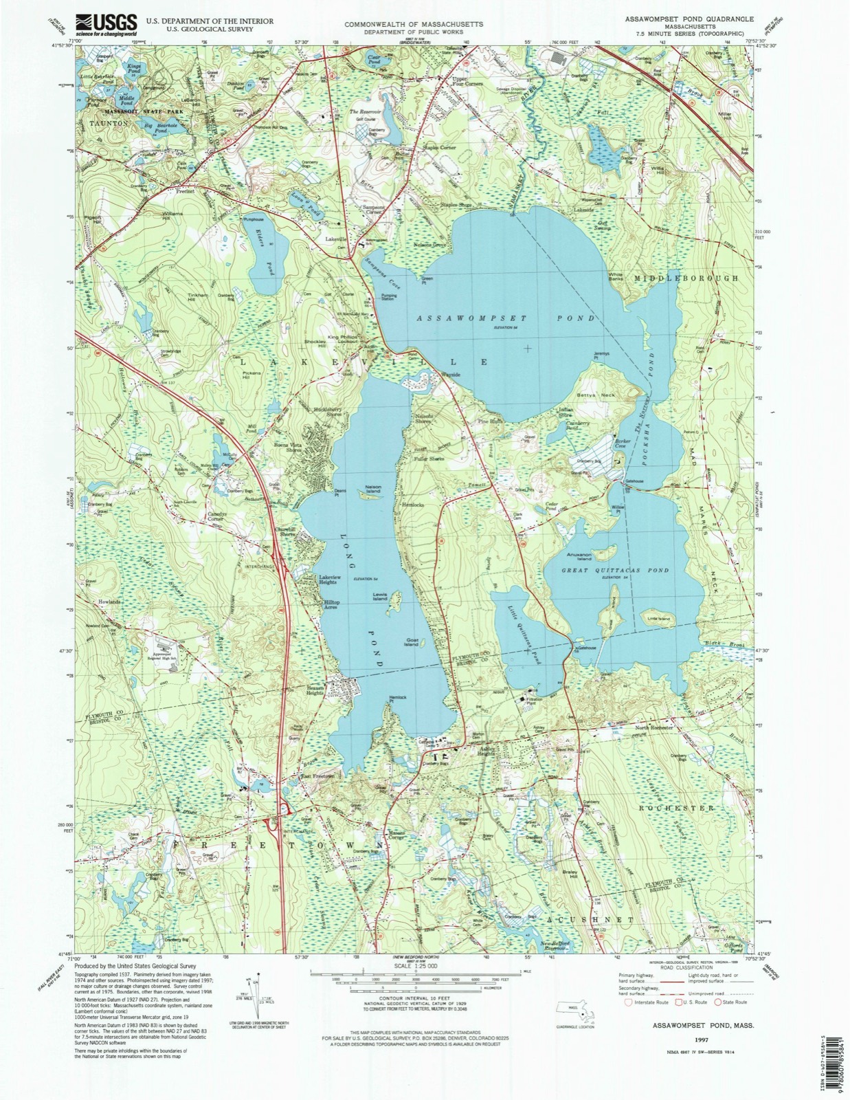
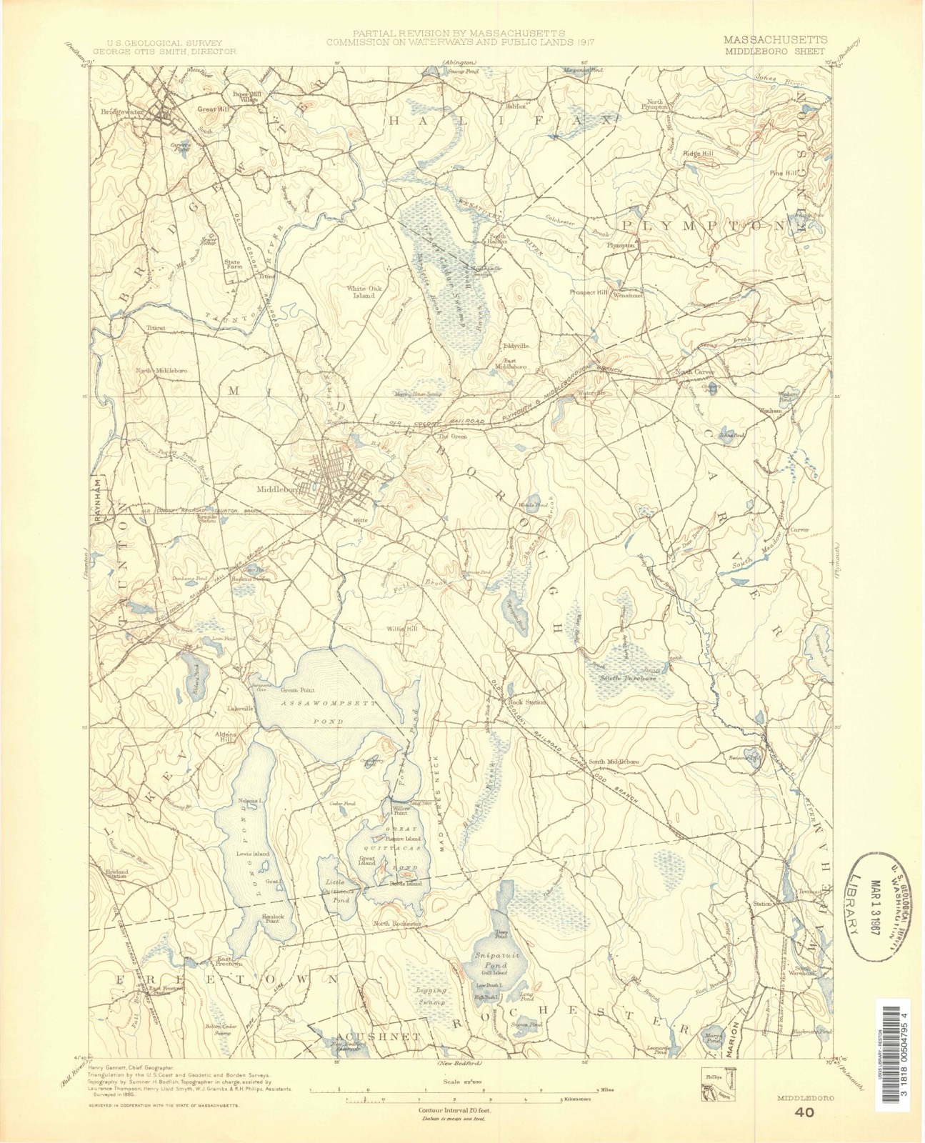
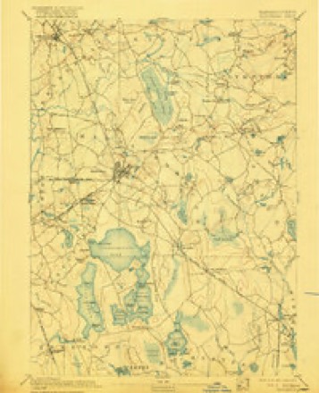
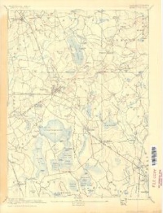
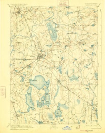
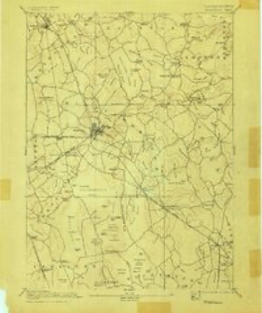
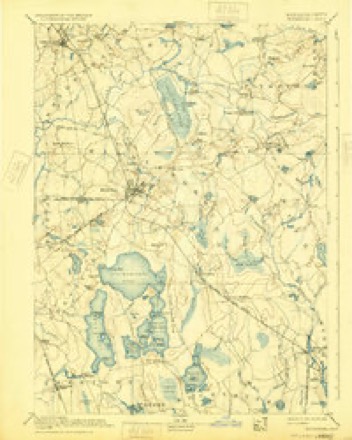
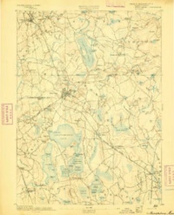
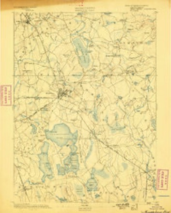
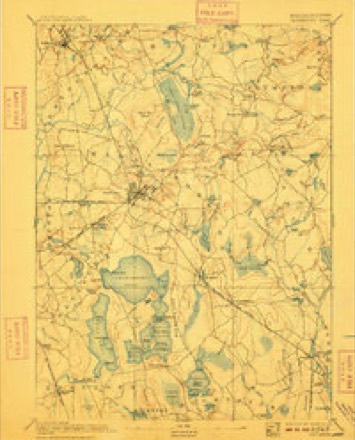
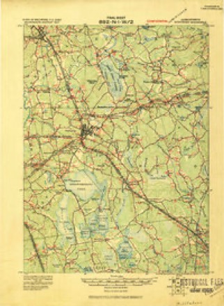
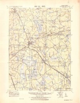
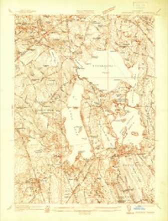
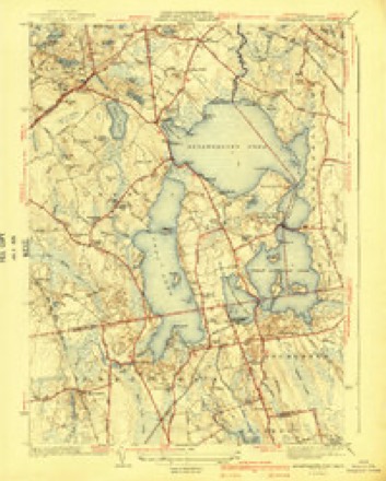
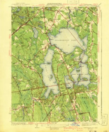
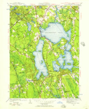
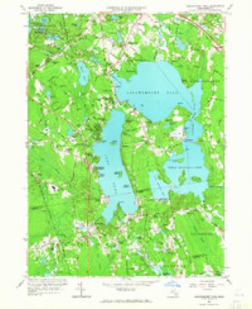
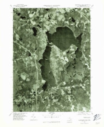
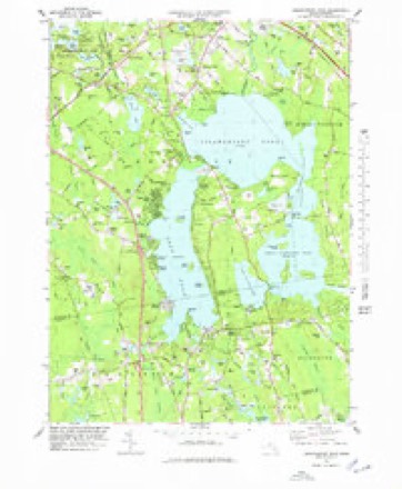
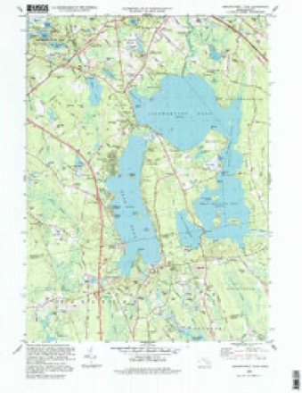
34 topographic sheets cover this place, the earliest surveyed in 1885 and the latest in 1997. It stands in Freetown town. It lies in ZIP code area 02717. It stands on Fall Brook. The Survey maps it on the Assawompset Pond quadrangle.
Then and now
1885 to 1997The same ground, surveyed 112 years apart. Drag the handle to wipe between them. Both sheets are United States Geological Survey originals; neither has been altered.
Compare 1885 against another survey:
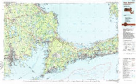
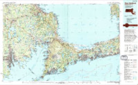
Topographic sheets covering this place
34 sheetsMatched by testing this settlement's coordinate against the published boundary of every sheet in the United States Geological Survey's historical collection. Each opens the scanned sheet at the Survey.
- 1885 USGS Middleboro quadrangle1:62500
- 1888 USGS Middleboro quadrangle1:62500
- 1893 USGS Middleboro quadrangle1:62500
- 1893 USGS Middleboro quadrangle1:62500
- 1893 USGS Middleboro quadrangle1:62500
- 1893 USGS Middleboro quadrangle1:62500
- 1893 USGS Middleboro quadrangle1:62500
- 1893 USGS Middleboro quadrangle1:62500
- 1893 USGS Middleboro quadrangle1:62500
- 1893 USGS Middleboro quadrangle1:62500
- 1916 USGS Middleboro quadrangle1:62500
- 1918 USGS Middleboro quadrangle1:62500
- 1937 USGS Assawompset Pond quadrangle1:24000
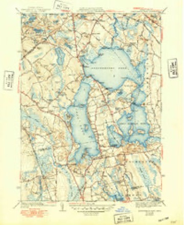
- 1941 USGS Assawompset Pond quadrangle1:31680
- 1941 USGS Assawompset Pond quadrangle1:31680
- 1941 USGS Assawompset Pond quadrangle1:31680
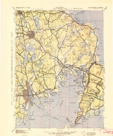
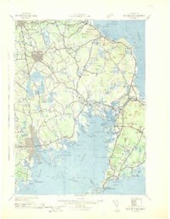
- 1942 USGS New Bedford quadrangle1:125000
- 1942 USGS New Bedford quadrangle1:125000
- 1947 USGS Providence quadrangle1:250000
- 1947 USGS Providence quadrangle1:250000
- 1947 USGS Providence quadrangle1:250000
- 1947 USGS Providence quadrangle1:250000
- 1947 USGS Providence quadrangle1:250000
- 1948 USGS Assawompset Pond quadrangle1:24000
- 1948 USGS Providence quadrangle1:250000
- 1957 USGS Providence quadrangle1:250000
- 1958 USGS Providence quadrangle1:250000
- 1963 USGS Assawompset Pond quadrangle1:24000
- 1963 USGS Providence quadrangle1:250000
- 1977 USGS Assawompset Pond quadrangle1:24000
- 1978 USGS Assawompset Pond quadrangle1:25000
- 1986 USGS New Bedford quadrangle1:100000
- 1994 USGS New Bedford quadrangle1:100000
- 1997 USGS Assawompset Pond quadrangle1:25000









In the county-history sources
27,587 words on this townshipHistory of Bristol County, Massachusetts, with Biographical Sketches of Many of Its Pioneers and Prominent Men, published 1883 names this settlement in its chapter on Freetown Town. These are the passages that mention it, exactly as the scans read.
The Nye family is of English extraction, and the American branch can claim kindred with the noble families of that name in England. Capt. Obed Nye, born 1737, had two wives, - Mary, born 1739, died March 28, 1797, and Freelove, born 1748, died Nov. 10, 1815. His death occurred Nov. 10, 1815. His son Jonathan was born 1760, and died Nov. 18, 1815. These three deaths so close to each other were caused by that fearful epidemic, " spotted fever," or " black death." Jonathan married Hannah Mandell, born 1776, died Sept. 24, 1844, aged eighty-two. Their son, Obed Nye, was born in Fairhaven (Acushnet) Jan. 25, 1800. He had but limited education from schools, but from the age of fourteen began his business life as clerk in the store of Swift & Nye, at the " Head of the River," where he stayed until he was of age. Then he became a partner, the firm becoming Swift, Nye & Co. This firm continued many years, and Mr. Nye remained connected therewith until 1861, when he retired, having acquired considerable property. He did a great deal of measuring lumber in his time, and had quite a reputation in that way. He was a self-made man. His first capital was borrowed, but his honesty, energy, and thrift were the foundations of his success. He married, Oct, 16, 1821, Abby, daughter of William and Abigail Hathaway, of New Bedford. She died May 10, 1864, aged sixty-three. (See biography of William Hathaway, Jr., of New Bedford.) Of their children five lived to grow up, - Laura H. (Mrs. Charles S. Taber), Abbie P. (married David S. Hall,
Passage source: History of Bristol County, Massachusetts, with Biographical Sketches of Many of Its Pioneers and Prominent Men, published 1883.
Mr. Nye was of active and energetic temperament, was for many years an agent for Hingham Fire Insurance Company, and represented his district in the Lower House of the State Legislature. He was a man of good habits, of strong powers of thought, and decided principles and opinions. Politically he was a Whig and Republican. He was social and genial in his intercourse with others, and his Christian charity was broad, holding to Unitarian doctrines in belief, although a regular attendant of the Orthodox Congregational Church. He had robust health both in body and mind until a few years previous to his death, which occurred Jan. 29, 1878.
Passage source: History of Bristol County, Massachusetts, with Biographical Sketches of Many of Its Pioneers and Prominent Men, published 1883.
The geographical limits of Freetown are now very dissimilar and unlike those of that section of country purchased of the Indians two hundred and twentyfour years ago, nor were those wholly identical with the boundaries of the tract incorporated two centuries since under the name that it still continues to bear.
Passage source: History of Bristol County, Massachusetts, with Biographical Sketches of Many of Its Pioneers and Prominent Men, published 1883.
Machine-read from a century-old scan, so expect the errors a machine makes: misspelled names, dropped words, stray characters.
Read the whole chapter on Freetown Town - it names this place 15 more 15 times.
Fires near this place
50 since 2015Regional context, not property-specific evidence. The federal wildfire occurrence database lists 50 fires within 5 miles of East Freetown between 2015 and 2020, burning about 32 acres in total. None started naturally. 2 were recorded as arson. Distance is straight-line from the map coordinates, so a fire counted here may appear on a neighbouring settlement's page as well.
| Reported cause | Fires |
|---|---|
| Missing data/not specified/undetermined | 22 |
| Debris and open burning | 16 |
| Misuse of fire by a minor | 4 |
| Recreation and ceremony | 3 |
| Arson/incendiarism | 2 |
| Fireworks | 2 |
| Power generation/transmission/distribution | 1 |
The most recent of them, most recent first, with the day each was reported and the service that recorded it.
| Date | Cause | Size | Reported by | Name on the report |
|---|---|---|---|---|
| 21 September 2017 | Missing data/not specified/undetermined | under an acre | Massachusetts Bureau of Forest Fire Control | not named |
| 18 September 2016 | Misuse of fire by a minor | under an acre | Massachusetts Bureau of Forest Fire Control | LAKEVILLE |
| 12 September 2016 | Debris and open burning | under an acre | Massachusetts Bureau of Forest Fire Control | LAKEVILLE |
| 10 September 2020 | Recreation and ceremony | under an acre | Massachusetts Bureau of Forest Fire Control | not named |
| 8 August 2020 | Missing data/not specified/undetermined | under an acre | Massachusetts Bureau of Forest Fire Control | not named |
| 3 August 2020 | Missing data/not specified/undetermined | under an acre | Massachusetts Bureau of Forest Fire Control | not named |
| 3 August 2018 | Misuse of fire by a minor | under an acre | Massachusetts Bureau of Forest Fire Control | not named |
| 22 August 2020 | Debris and open burning | under an acre | Massachusetts Bureau of Forest Fire Control | not named |
Settlements close enough to share some of these fires:
Specimens collected near this place
12 of 1,399 shownRegional context, not property-specific evidence. Museums hold 1,399 specimens collected within 10 miles of East Freetown between 1831 and 1975: 555 Fungi, 425 Animalia, 403 Plantae, 8 Chromista, 6 Unrecorded, 2 Bacteria. 12 distinct Species records are shown. Collected by A E Schuyler, A. B. Gridley, A. Clark and others. Each is a physical object with a catalogue number, and each entry opens the museum's record. This is what was collected and kept, not a survey of what lives here - nothing can be concluded from a species being absent.
| Image | Species | Year | Collected by | Where, as recorded |
|---|---|---|---|---|
 | Mentha aquatica L. | 1831 | Collector unknown | New Bedford. [Inferred county from precise loc.] |
 | Trypethelium virens Tuck. | 1848 | ex herb. Oakes | New Bedford. |
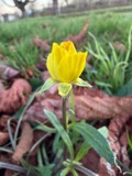 | Ranunculus bulbosus L. | 1850 | not recorded | |
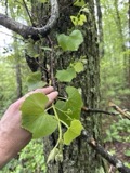 | Vitis labrusca L. | 1850 | not recorded | |
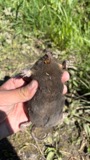 | Condylura cristata (Linnaeus, 1758) | 1855 | Preparator(s): Edwin V. Komarek | Middleboro |
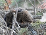 | Microtus pennsylvanicus pennsylvanicus (Ord, 1815) | 1855 | John W. Jenks | Middleboro |
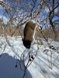 | Peromyscus leucopus (Rafinesque, 1818) | 1855 | John W. Jenks | Middleboro |
 | Menegazzia terebrata (Hoffm.) A.Massal. | 1860 | H. Willey | New Bedford |
 | Abrothallus parmeliarum (Sommerf.) Nyl., 1869 | 1862 | Willey H. | Weymouth, New Bedford |
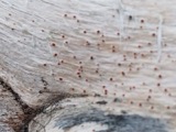 | Agyrium rufum (Pers.) Fr. | 1862 | Willey Henry | New Bedford |
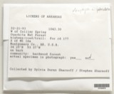 | Anaptychia palmatula (Michx.) Vain., 1899 | 1862 | H. Willey | New Bedford. |
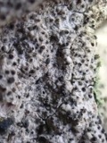 | Anisomeridium polypori (Ellis & Everh.) M.E.Barr | 1862 | H. Willey | New Bedford |
All 1,399 specimens within 10 miles, at the Global Biodiversity Information Facility.
Mines and quarries near this place
2 within 5 milesRegional context, not property-specific evidence. The federal mineral resources record lists 2 workings within 5 miles of East Freetown: 1 past producer, 1 producer. 1 still produces. What was taken out: Sand and Gravel, Construction. Distance is straight-line from the map coordinates, so a quarry counted here may appear on a neighbouring settlement's page as well.
| Where | Site | Commodity | Status | Recorded |
|---|---|---|---|---|
| Lakeville Pit | Sand and Gravel, Construction | Producer | ||
| Southeastern Construction Co | Sand and Gravel, Construction | Past Producer | Sedimentary |
Nearest settlements
The eight closest, with where each one stands in the county. Distances are straight-line, computed from the Geographic Names Information System coordinates.
| Map | Place | Distance | Sheets |
|---|---|---|---|
| Heaven Heights | 0.9 miles | 34 | |
| Masons Corner | 1.0 miles | 34 | |
| Ashley Heights | 2.0 miles | 34 | |
| Braleys | 2.7 miles | 34 | |
| Inland Park | 2.9 miles | 34 | |
| Clifford | 3.5 miles | 34 | |
| Westgate Park | 3.9 miles | 34 | |
| Buffington Corner | 4.0 miles | 34 |
Provenance
This settlement is recorded in the Geographic Names Information System as feature 613500. The sheet list is computed by point-in-boundary test against the United States Geological Survey's historical topographic inventory. Both are works of the United States government and carry no copyright under 17 U.S.C. 105.
Wildfire. Short, Karen C. 2022. Spatial wildfire occurrence data for the United States, 1992-2020 [FPA_FOD_20221014]. 6th Edition. Fort Collins, CO: Forest Service Research Data Archive. https://doi.org/10.2737/RDS-2013-0009.6 Collected with United States Government funding and usable without additional permissions or fees.
Specimens. Global Biodiversity Information Facility (GBIF), https://www.gbif.org/. Only records licensed CC0 or CC BY are used. Records licensed CC BY-NC are excluded because this site carries advertising. Images are checked individually and any whose licence is non-commercial, no-derivatives or unreadable is refused.
Mines and quarries. USGS Mineral Resources Data System (MRDS) https://mrdata.usgs.gov/mrds/ A work of the United States government, no copyright under 17 U.S.C. 105.