 Block
Block
East Mansfield, Massachusetts
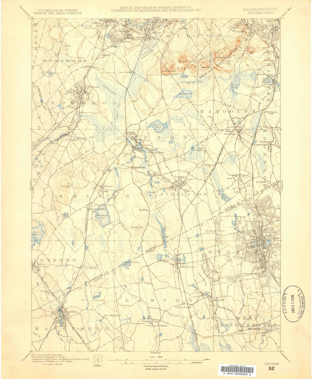
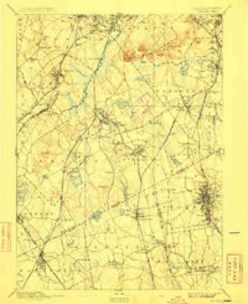
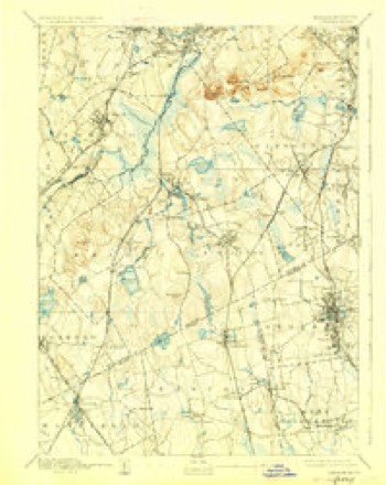
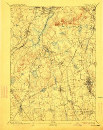
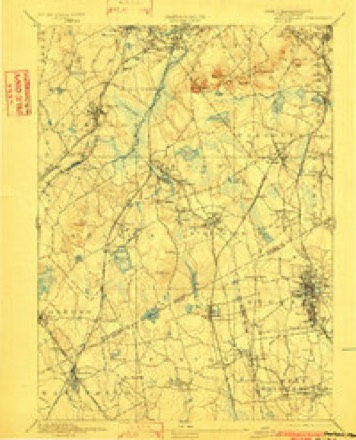
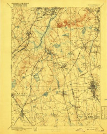
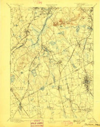
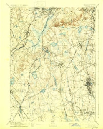
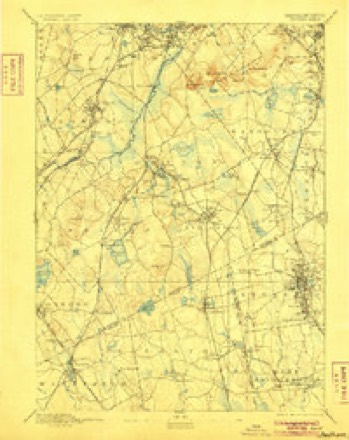
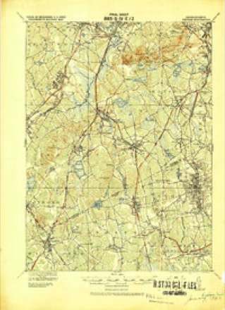
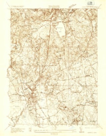
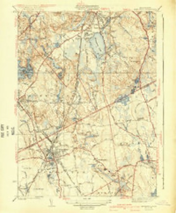
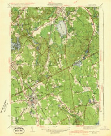
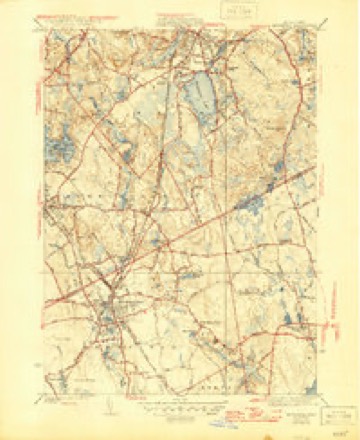
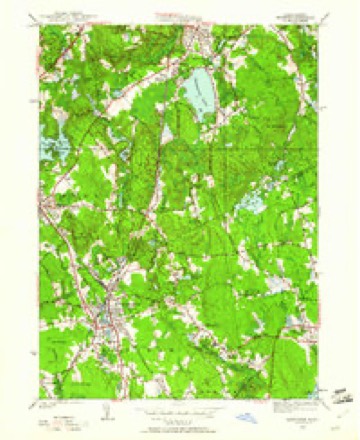
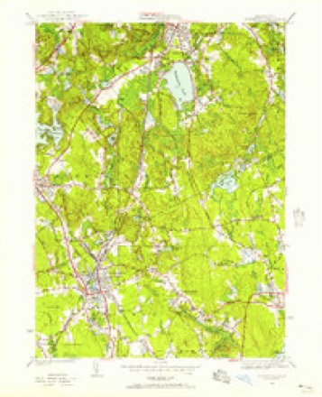
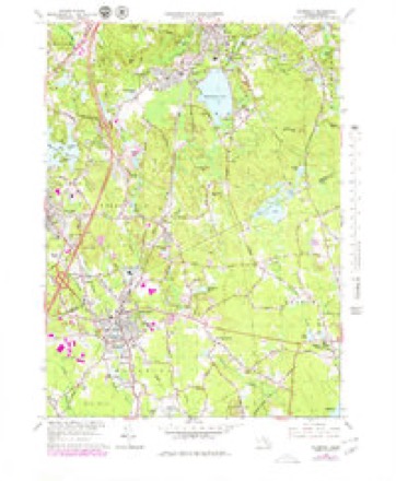
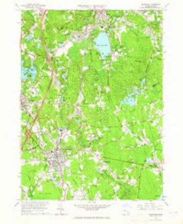
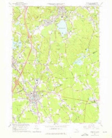
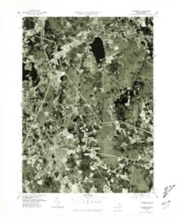
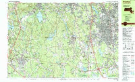
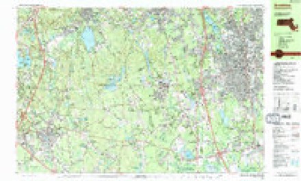
40 topographic sheets cover this place, the earliest surveyed in 1886 and the latest in 1989. It stands in Mansfield town. It lies in ZIP code area 02048. The Survey maps it on the Mansfield quadrangle.
Then and now
1886 to 1989The same ground, surveyed 103 years apart. Drag the handle to wipe between them. Both sheets are United States Geological Survey originals; neither has been altered.

Topographic sheets covering this place
40 sheetsMatched by testing this settlement's coordinate against the published boundary of every sheet in the United States Geological Survey's historical collection. Each opens the scanned sheet at the Survey.
- 1886 USGS Dedham quadrangle1:62500
- 1894 USGS Dedham quadrangle1:62500
- 1894 USGS Dedham quadrangle1:62500
- 1894 USGS Dedham quadrangle1:62500
- 1894 USGS Dedham quadrangle1:62500
- 1894 USGS Dedham quadrangle1:62500
- 1894 USGS Dedham quadrangle1:62500
- 1894 USGS Dedham quadrangle1:62500
- 1894 USGS Dedham quadrangle1:62500
- 1894 USGS Dedham quadrangle1:62500
- 1894 USGS Dedham quadrangle1:62500
- 1919 USGS Dedham quadrangle1:62500
- 1936 USGS Mansfield quadrangle1:24000
- 1941 USGS Mansfield quadrangle1:31680
- 1941 USGS Mansfield quadrangle1:31680
- 1941 USGS Mansfield quadrangle1:31680
- 1943 USGS Boston quadrangle1:125000
- 1946 USGS Mansfield quadrangle1:24000
- 1946 USGS Mansfield quadrangle1:24000
- 1948 USGS Boston quadrangle1:250000
- 1948 USGS Boston quadrangle1:250000
- 1956 USGS Boston quadrangle1:250000
- 1956 USGS Boston quadrangle1:250000
- 1956 USGS Boston quadrangle1:250000
- 1956 USGS Boston quadrangle1:250000
- 1956 USGS Boston quadrangle1:250000
- 1956 USGS Boston quadrangle1:250000
- 1958 USGS Boston quadrangle1:250000
- 1958 USGS Boston quadrangle1:250000
- 1961 USGS Boston quadrangle1:250000
- 1961 USGS Boston quadrangle1:250000
- 1964 USGS Mansfield quadrangle1:25000
- 1964 USGS Mansfield quadrangle1:24000
- 1964 USGS Mansfield quadrangle1:24000
- 1977 USGS Mansfield quadrangle1:25000
- 1985 USGS Boston quadrangle1:100000
- 1987 USGS Brockton quadrangle1:25000
- 1987 USGS Brockton quadrangle1:25000
- 1989 USGS Boston quadrangle1:100000
- 1989 USGS Boston quadrangle1:100000
















What happened here
An account from the chapter on Mansfield town, The inset identifies its exact source book and publication year.
Dairy Outlook For 1935
The dairy industry is headed towards a rather favorable year according to the State College economists and they list these factors to back their statement. There has been a 4% reduction in milk cans in 1934 with a further reduction expected in 1935. There are fewer heifers being saved for milk cows and the drought cattle liquidation along with high feed costs have reduced the number of dual purpose cows milked.
In the county-history sources
183,038 words on this townshipHistory of Bristol County, Massachusetts, with Biographical Sketches of Many of Its Pioneers and Prominent Men, published 1883 names this settlement in its chapter on Mansfield Town. These are the passages that mention it, exactly as the scans read.
Emanuel Methodist Episcopal Church was organized in 1860 with sixteen members; the first meeting was held in the hall over Rayerson's store April 8, 1860, Rev. E. F. Hicks supplying the pulpit. Worship was continued there until January, 1861, from which time to April, 1864, there were no public services held. At that time the old meeting-house was hired, and services held therein for two years under charge of Rev. Mr. Alderman. After an interval of five years meetings were again commenced, this time in Lovell's Hall, in 1871, under the charge of Rev. Mr. W. J. Smith, who remained with the society one year. Services have been continued ever since, and the ministers have been F. C. Newall, J. H. Humphrey, W. H. Turkinton, J. Oldham, Thomas J. Everett, E. W. Goodier, and the present pastor is Rev. Mr. Jorden. In 1876 the society built an attractive place of worship on the corner of North Main and West Streets, on a lot donated to them by Charles T. Borden, Esq., a prominent member of the church.
Passage source: History of Bristol County, Massachusetts, with Biographical Sketches of Many of Its Pioneers and Prominent Men, published 1883.
In 1830 a Christian Baptist Society was organized, and a small church built at West Mansfield. A new church has since been built near the depot at West Mansfield, and the society is now prospering under the faithful ministrations of Rev. Gustin, of Attleborough.
Passage source: History of Bristol County, Massachusetts, with Biographical Sketches of Many of Its Pioneers and Prominent Men, published 1883.
Early Settlers. - " Very Worshipful Ephrairo Leonard, Esq.," was probably the most distinguished man who ever lived in Mansfield. His residence was in the house at East Mansfield, formerly owned by Mr. Calvin Thomas, now owned by George Thomas, located on the easterly side of the road, near Flint's saw-mill. The old house in its wide entry and staircase, in its high rooms, gives evidence of its former grandeur. He was appointed judge of Court of Common Pleas in 1747, and was in office until after the Revolution. He was born Jan. 16, 1705-6. He was a leader in the town, a man of great energy ; held the confidence and esteem of his fellow-citizens; held the office of col- onel in the militia during the old French and Indian war. He was a man of eminent piety, and the wealthiest man in the region. His name is often found upon the old records of both town and parish. His grave, with those of three of his wives (he was married four times), are in the woods a short distance from his former residence ; the slate slabs indicating their burial-places are flat upon the ground, and it is extremely difficult to decipher any of the lettering upon them. There are evidences near these graves of other burials, but the stories of the men and women who found their last resting-place are only known to the Recording Angel, and probably their names will never more be mentioned upon earth. He had a son, Daniel, born May 18, 1740, graduated at Harvard University in 1760, at the age of twenty years. Studied law, and was a man of brilliant abilities. Became a Loyalist, and was appointed by Governor Hutchinson a mandamus counselor in 1774; practiced his profession at Taunton Grove, but the honest yeomanry would not tolerate him. Left Taunton and went to Boston, thence to Halifax, thence to England, and was afterwards chief justice of Bermuda Islands. The house in which he lived still stands just north of the courthouse in Taunton, and the marks of the bullets still remain to testify to the animosity which the people felt towards the sentiments he held. His personal popularity, however, was great. His father bequeathed to him a large portion of his estate, provided he was allowed to return and enjoy it, and also be allowed the rights of citizenship; but if not, then to any of Daniel's children who should come to America and become citizens. A son, Charles, did come, took possession of the property, entered Harvard College, but did not graduate ; was subsequently placed under guardianship, and was found dead May 4, 1831, in the road near Burrowsville.
Passage source: History of Bristol County, Massachusetts, with Biographical Sketches of Many of Its Pioneers and Prominent Men, published 1883.
Machine-read from a century-old scan, so expect the errors a machine makes: misspelled names, dropped words, stray characters.
Read the whole chapter on Mansfield Town - it names this place 5 more 5 times.
Fires near this place
48 since 2002Regional context, not property-specific evidence. The federal wildfire occurrence database lists 48 fires within 5 miles of East Mansfield between 2002 and 2020, burning about 34 acres in total. None started naturally. 1 was recorded as arson. Distance is straight-line from the map coordinates, so a fire counted here may appear on a neighbouring settlement's page as well.
| Reported cause | Fires |
|---|---|
| Missing data/not specified/undetermined | 19 |
| Debris and open burning | 9 |
| Smoking | 9 |
| Recreation and ceremony | 7 |
| Equipment and vehicle use | 3 |
| Arson/incendiarism | 1 |
The most recent of them, most recent first, with the day each was reported and the service that recorded it.
| Date | Cause | Size | Reported by | Name on the report |
|---|---|---|---|---|
| 8 September 2020 | Missing data/not specified/undetermined | under an acre | Massachusetts Bureau of Forest Fire Control | not named |
| 3 September 2016 | Missing data/not specified/undetermined | under an acre | Massachusetts Bureau of Forest Fire Control | FOXBORO |
| 15 September 2016 | Smoking | under an acre | Massachusetts Bureau of Forest Fire Control | FOXBORO |
| 12 September 2017 | Recreation and ceremony | under an acre | Massachusetts Bureau of Forest Fire Control | PLAINVILLE |
| 8 August 2016 | Missing data/not specified/undetermined | under an acre | Massachusetts Bureau of Forest Fire Control | FOXBORO |
| 8 August 2016 | Missing data/not specified/undetermined | under an acre | Massachusetts Bureau of Forest Fire Control | FOXBORO |
| 5 August 2018 | Equipment and vehicle use | under an acre | Massachusetts Bureau of Forest Fire Control | FOXBORO |
| 4 August 2016 | Missing data/not specified/undetermined | under an acre | Massachusetts Bureau of Forest Fire Control | FOXBORO |
Settlements close enough to share some of these fires:
Specimens collected near this place
12 of 1,225 shownRegional context, not property-specific evidence. Museums hold 1,225 specimens collected within 10 miles of East Mansfield between 1860 and 1975: 868 Animalia, 271 Plantae, 83 Fungi, 3 Chromista. 12 distinct Species records are shown. Collected by ?, A. A. Eaton, A. C. Birch and others. Each is a physical object with a catalogue number, and each entry opens the museum's record. This is what was collected and kept, not a survey of what lives here - nothing can be concluded from a species being absent.
| Image | Species | Year | Collected by | Where, as recorded |
|---|---|---|---|---|
 | Astur Lacepède, 1799 | 1860 | C. D. Lincoln | Taunton |
 | Carex panicea L. | 1863 | J. H. Dean | |
 | Carex L. | 1864 | J. H. Dean | Taunton. |
 | Carex vulpinoidea Michx. | 1864 | J. H. Dean | |
 | Hypoxis hirsuta (L.) Coville | 1874 | not recorded | |
 | Chelidonium majus L. | 1875 | not recorded | |
 | Lygodium palmatum (Bernh.) Sw. | 1875 | not recorded | |
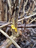 | Berberis vulgaris L. | 1876 | not recorded | |
 | Empidonax minimus (W.M.Baird & S.F.Baird, 1843) | 1877 | C.P. Snow | Taunton, North |
 | Chaetura pelagica (Linnaeus, 1758) | 1878 | C. F. Snow | MASSACHUSETTS: Bristol County; Taunton |
 | Coccyzus erythropthalmus (A.Wilson, 1811) | 1878 | not recorded | Taunton |
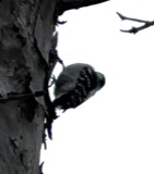 | Dryobates pubescens (Linnaeus, 1766) | 1878 | C. F. Snow | MASSACHUSETTS: Bristol County; Taunton |
All 1,225 specimens within 10 miles, at the Global Biodiversity Information Facility.
Mines and quarries near this place
4 within 5 milesRegional context, not property-specific evidence. The federal mineral resources record lists 4 workings within 5 miles of East Mansfield: 3 past producers, 1 producer. 1 still produces. What was taken out: Sand and Gravel, Construction, Stone, Crushed/Broken. Distance is straight-line from the map coordinates, so a quarry counted here may appear on a neighbouring settlement's page as well.
| Where | Site | Commodity | Status | Recorded |
|---|---|---|---|---|
| Easton Pit | Stone, Crushed/Broken | Producer | ||
| Easton Sand and Gravel Co | Sand and Gravel, Construction | Past Producer | Sedimentary | |
| Pine Street Pit | Sand and Gravel, Construction | Past Producer | ||
| Sand and Gravel Pit | Sand and Gravel, Construction | Past Producer |
Storms near this place
2 since 2021Regional context, not property-specific evidence. The National Weather Service names East Mansfield in 2 storm reports between 2021 and 2021: 2 thunderstorm wind. No death or injury is recorded in these reports. Each account below is quoted exactly as the forecast office filed it, from the NOAA Storm Events Database, and each date opens the federal record of that event.
Nearest settlements
The eight closest, with where each one stands in the county. Distances are straight-line, computed from the Geographic Names Information System coordinates.
| Map | Place | Distance | Sheets |
|---|---|---|---|
| Ginty Corner | 1.0 miles | 40 | |
| Whiteville | 1.1 miles | 40 | |
| Mansfield | 2.3 miles | 40 | |
| Norton Grove | 2.4 miles | 33 | |
| Easton | 2.6 miles | 40 | |
| Five Corners | 3.0 miles | 39 | |
| East Norton | 3.3 miles | 33 | |
| Centre Mills | 3.3 miles | 33 |
Provenance
This settlement is recorded in the Geographic Names Information System as feature 612445. The sheet list is computed by point-in-boundary test against the United States Geological Survey's historical topographic inventory. Both are works of the United States government and carry no copyright under 17 U.S.C. 105.
Wildfire. Short, Karen C. 2022. Spatial wildfire occurrence data for the United States, 1992-2020 [FPA_FOD_20221014]. 6th Edition. Fort Collins, CO: Forest Service Research Data Archive. https://doi.org/10.2737/RDS-2013-0009.6 Collected with United States Government funding and usable without additional permissions or fees.
Specimens. Global Biodiversity Information Facility (GBIF), https://www.gbif.org/. Only records licensed CC0 or CC BY are used. Records licensed CC BY-NC are excluded because this site carries advertising. Images are checked individually and any whose licence is non-commercial, no-derivatives or unreadable is refused.
Mines and quarries. USGS Mineral Resources Data System (MRDS) https://mrdata.usgs.gov/mrds/ A work of the United States government, no copyright under 17 U.S.C. 105.
Storms. NOAA National Centers for Environmental Information, Storm Events Database https://www.ncei.noaa.gov/stormevents/ A work of the United States government, no copyright under 17 U.S.C. 105. Narratives are quoted verbatim from the National Weather Service report and are not edited or summarised.