 Block
Block
East Taunton, Massachusetts
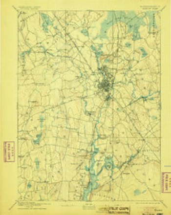
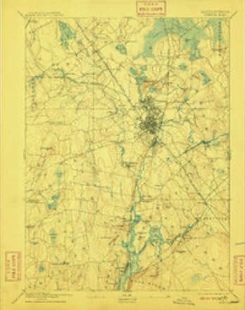
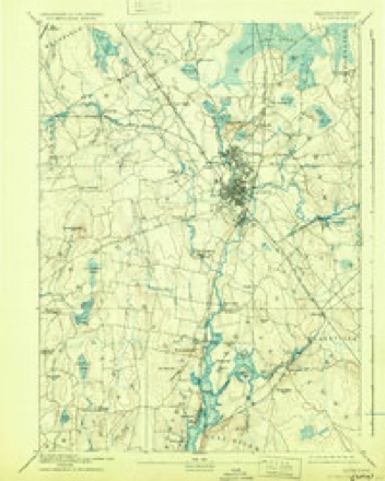
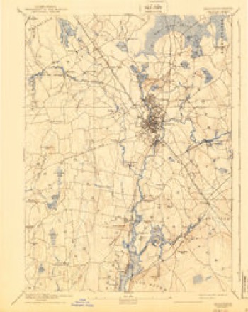
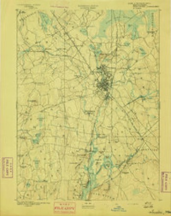
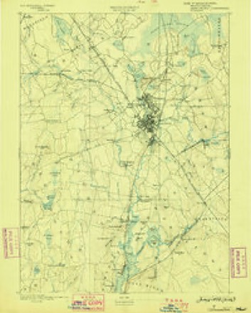
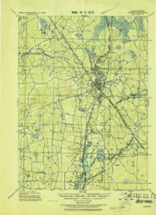
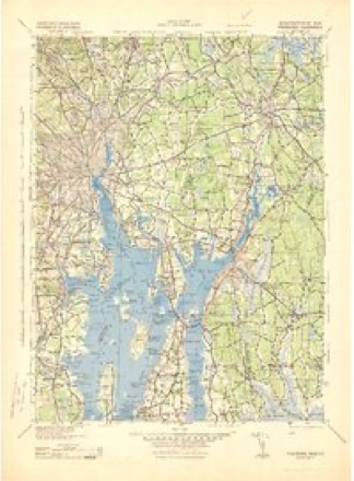
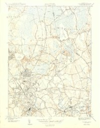
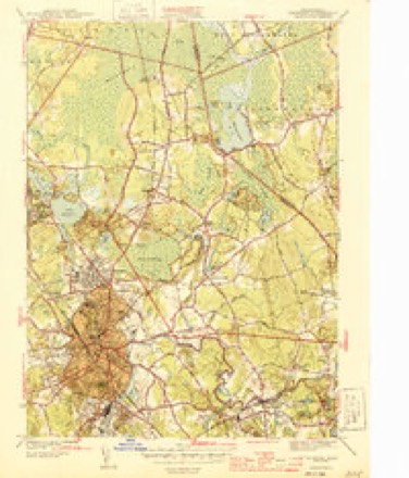
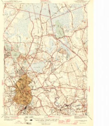
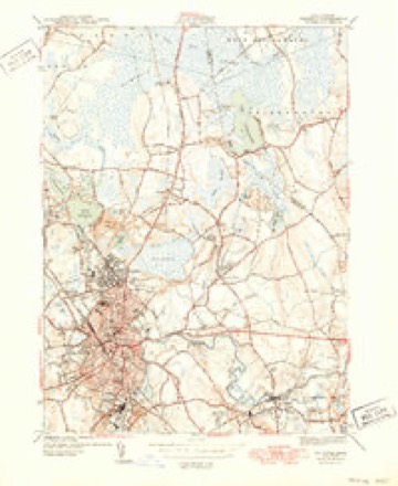
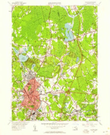
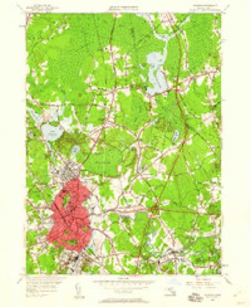
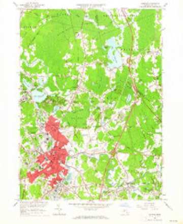
33 topographic sheets cover this place, the earliest surveyed in 1885 and the latest in 1987. It stands in Taunton City. It lies in ZIP code area 02718. It stands on Betty Hill. The Survey maps it on the Taunton quadrangle.
Then and now
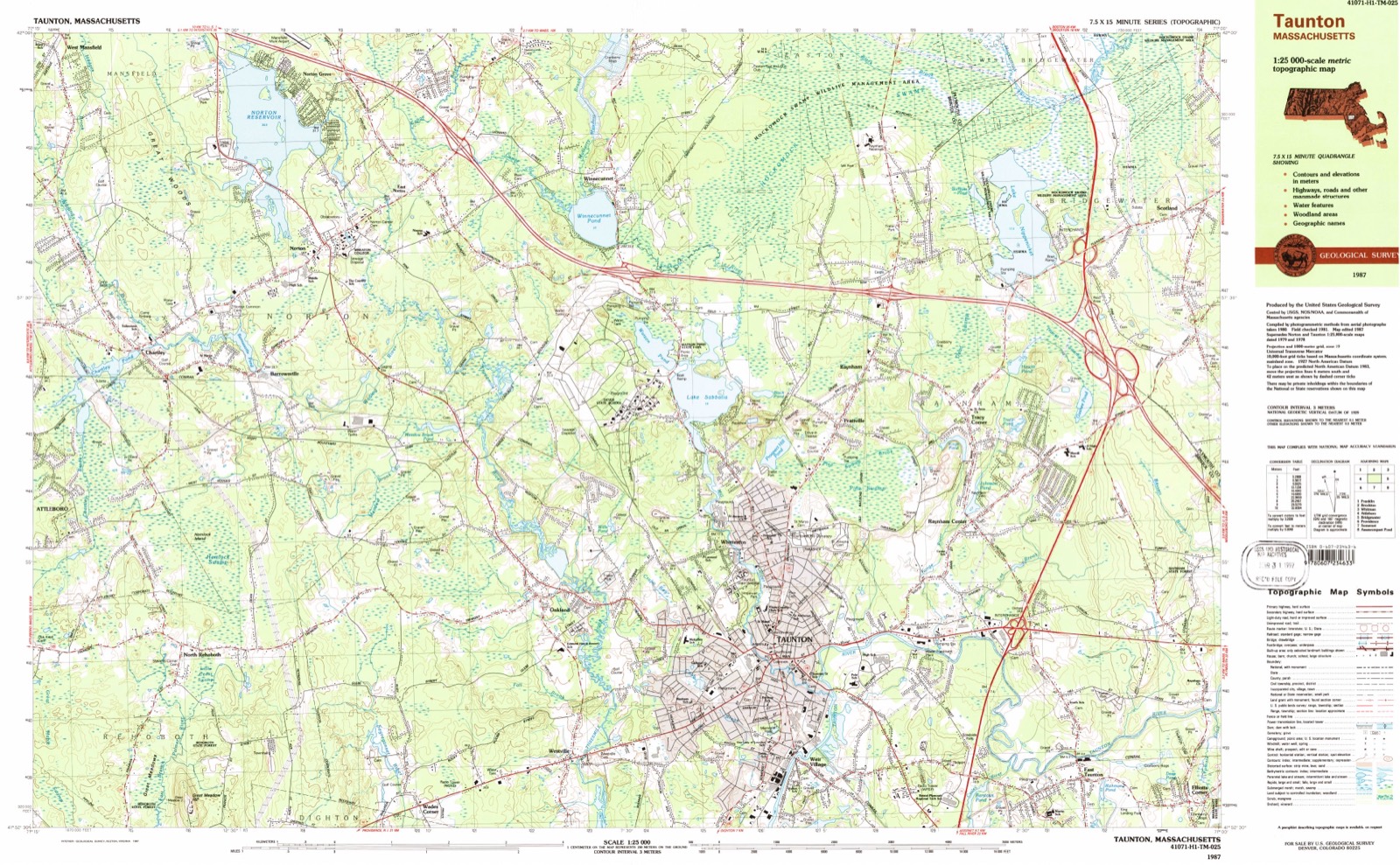
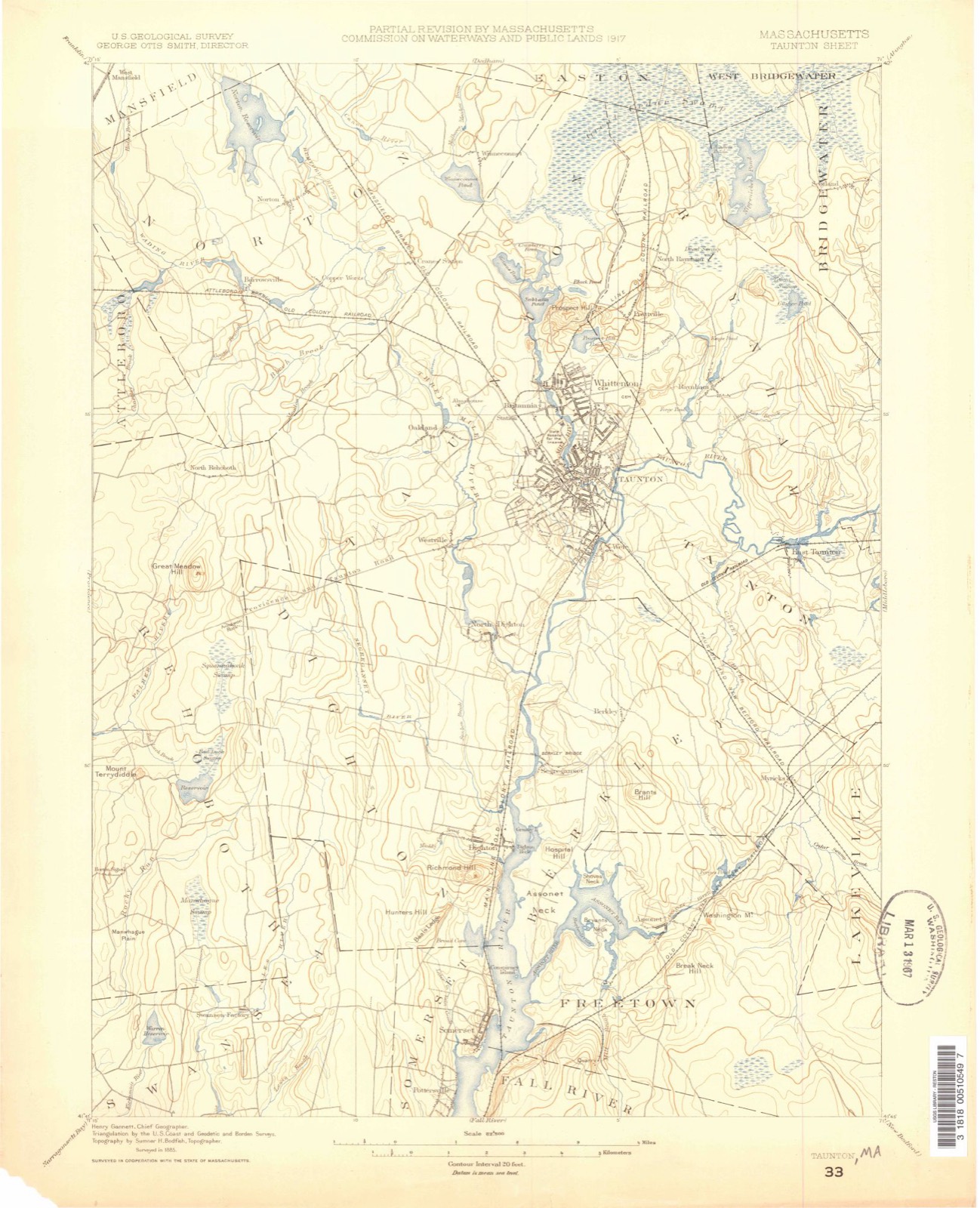
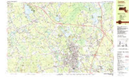
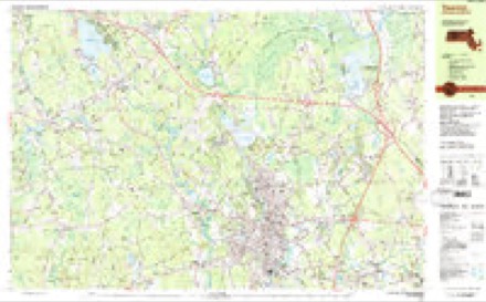
1885 to 1987The same ground, surveyed 102 years apart. Drag the handle to wipe between them. Both sheets are United States Geological Survey originals; neither has been altered.
Topographic sheets covering this place
33 sheetsMatched by testing this settlement's coordinate against the published boundary of every sheet in the United States Geological Survey's historical collection. Each opens the scanned sheet at the Survey.
- 1885 USGS Taunton quadrangle1:62500
- 1888 USGS Taunton quadrangle1:62500
- 1893 USGS Taunton quadrangle1:62500
- 1893 USGS Taunton quadrangle1:62500
- 1893 USGS Taunton quadrangle1:62500
- 1893 USGS Taunton quadrangle1:62500
- 1893 USGS Taunton quadrangle1:62500
- 1893 USGS Taunton quadrangle1:62500
- 1893 USGS Taunton quadrangle1:62500
- 1918 USGS Taunton quadrangle1:62500
- 1943 USGS Providence quadrangle1:125000
- 1944 USGS Taunton quadrangle1:31680
- 1944 USGS Taunton quadrangle1:31680
- 1944 USGS Taunton quadrangle1:31680
- 1944 USGS Taunton quadrangle1:31680
- 1947 USGS Providence quadrangle1:250000
- 1947 USGS Providence quadrangle1:250000
- 1947 USGS Providence quadrangle1:250000
- 1947 USGS Providence quadrangle1:250000
- 1947 USGS Providence quadrangle1:250000
- 1948 USGS Providence quadrangle1:250000
- 1949 USGS Taunton quadrangle1:24000
- 1949 USGS Taunton quadrangle1:24000
- 1957 USGS Providence quadrangle1:250000
- 1958 USGS Providence quadrangle1:250000
- 1962 USGS Taunton quadrangle1:24000
- 1963 USGS Providence quadrangle1:250000
- 1977 USGS Taunton quadrangle1:25000
- 1978 USGS Taunton quadrangle1:25000
- 1979 USGS Taunton quadrangle1:50000
- 1984 USGS Providence quadrangle1:100000
- 1987 USGS Taunton quadrangle1:25000
- 1987 USGS Taunton quadrangle1:25000









What happened here
An account from the chapter on Taunton city, The inset identifies its exact source book and publication year.
The Weather
How all the people are enjoying this nice weather we are having! Real summer weather. But to the farmers, or some in certain lines of farming, this moderate weather is "not so good." These premature samples of springtime are unfortunate, especially for the peach orchardist. As every groWar knows, peach trees are susceptible to cold weather, and if it does grow very cold again, and there is every likelihood of it, there will be much wood killed and a very small fruit yield in our section this coming season.
In the county-history sources
195,005 words on this townshipHistory of Bristol County, Massachusetts, with Biographical Sketches of Many of Its Pioneers and Prominent Men, published 1883 names this settlement in its chapter on Taunton City. These are the passages that mention it, exactly as the scans read.
The membership, at first but forty-four, has since increased to four hundred and ninety-four, of whom more than half have died or removed, leaving now two hundred and ten members. The church building was enlarged in 1872 to accommodate its growing congregation, and was repaired aud modernized within in 1882. It has been from the beginning a strong and united body, ready for every good word and work. There are names in its early history which should never be forgotten, - Roswell Ballard, John, William, and Hodges Reed, Philander W. Dean, and their wives, with others of precious memory. The present deacons of the church are Edgar H. Reed and Andrew S. Briggs.
Passage source: History of Bristol County, Massachusetts, with Biographical Sketches of Many of Its Pioneers and Prominent Men, published 1883.
Although the immediate objects were accomplished, the parish was so weakened by the then general business depression that Father Shahan did not attempt to carry out a project which he had very much at heart, - the establishment of a parish school ; and having been called to Boston in 1871, the Rev. Edward J. Sheridan, the present pastor, was sent to fill the vacancy. A vigorous effort is now being made in the parish towards the attainment of the latter object, the school to be placed under the charge of one of the religious orders which have proved so efficient elsewhere, not only in imparting secular knowledge, but in so cultivating the moral and religious nature of their pupils as to exert a permanent influence for good on their lives and conduct.
Passage source: History of Bristol County, Massachusetts, with Biographical Sketches of Many of Its Pioneers and Prominent Men, published 1883.
During the pastorate of Father Hearae his mission, besides Taunton proper, included East Taunton, Middleborough, Norton, Westville, North and South Dighton. During Father Shahan's, Middleborough and Norton were separated from the Taunton parish, and during Father Sheridan's, Weir Village, East Taunton, and Dighton have also been detached, the Rev. Hugh J. Smyth having v been appointed the first pastor, succeeded by the Rev. James K. Beaven, the present incumbent, and a school-house having been adapted to the purpose of a church for the congregation. Recently the Rev. James Roach has been performing mission duty among the French and other residents in Whittenton, with the ultimate intention of erecting a church, but at the present writing no territorial boundaries have been assigned him.
Passage source: History of Bristol County, Massachusetts, with Biographical Sketches of Many of Its Pioneers and Prominent Men, published 1883.
Machine-read from a century-old scan, so expect the errors a machine makes: misspelled names, dropped words, stray characters.
Read the whole chapter on Taunton City - it names this place 22 more 22 times.
Fires near this place
68 since 2004Regional context, not property-specific evidence. The federal wildfire occurrence database lists 68 fires within 5 miles of East Taunton between 2004 and 2020, burning about 46 acres in total. None started naturally. 1 was recorded as arson. Distance is straight-line from the map coordinates, so a fire counted here may appear on a neighbouring settlement's page as well.
| Reported cause | Fires |
|---|---|
| Debris and open burning | 25 |
| Missing data/not specified/undetermined | 23 |
| Misuse of fire by a minor | 8 |
| Recreation and ceremony | 6 |
| Smoking | 5 |
| Arson/incendiarism | 1 |
The most recent of them, most recent first, with the day each was reported and the service that recorded it.
| Date | Cause | Size | Reported by | Name on the report |
|---|---|---|---|---|
| 6 September 2018 | Debris and open burning | under an acre | Massachusetts Bureau of Forest Fire Control | not named |
| 3 September 2018 | Debris and open burning | under an acre | Massachusetts Bureau of Forest Fire Control | not named |
| 25 September 2020 | Misuse of fire by a minor | under an acre | Massachusetts Bureau of Forest Fire Control | not named |
| 19 September 2020 | Misuse of fire by a minor | under an acre | Massachusetts Bureau of Forest Fire Control | not named |
| 14 September 2016 | Debris and open burning | under an acre | Massachusetts Bureau of Forest Fire Control | MIDDLEBOROUGH |
| 1 September 2018 | Debris and open burning | under an acre | Massachusetts Bureau of Forest Fire Control | not named |
| 8 August 2015 | Missing data/not specified/undetermined | under an acre | Massachusetts Bureau of Forest Fire Control | MIDDLEBOROUGH |
| 3 August 2020 | Debris and open burning | under an acre | Massachusetts Bureau of Forest Fire Control | not named |
Settlements close enough to share some of these fires:
Specimens collected near this place
12 of 1,756 shownRegional context, not property-specific evidence. Museums hold 1,756 specimens collected within 10 miles of East Taunton between 1855 and 1974: 1,088 Animalia, 475 Plantae, 183 Fungi, 6 Chromista, 3 Unrecorded, 1 Protozoa. 12 distinct Species records are shown. Collected by ?, A E Schuyler, A. A. Eaton and others. Each is a physical object with a catalogue number, and each entry opens the museum's record. This is what was collected and kept, not a survey of what lives here - nothing can be concluded from a species being absent.
| Image | Species | Year | Collected by | Where, as recorded |
|---|---|---|---|---|
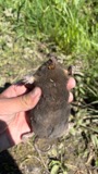 | Condylura cristata (Linnaeus, 1758) | 1855 | Preparator(s): Edwin V. Komarek | Middleboro |
 | Microtus pennsylvanicus pennsylvanicus (Ord, 1815) | 1855 | John W. Jenks | Middleboro |
 | Peromyscus leucopus (Rafinesque, 1818) | 1855 | John W. Jenks | Middleboro |
 | Astur Lacepède, 1799 | 1860 | C. D. Lincoln | Taunton |
 | Carex panicea L. | 1863 | J. H. Dean | |
 | Carex L. | 1864 | J. H. Dean | Taunton. |
 | Carex vulpinoidea Michx. | 1864 | J. H. Dean | |
 | Baptisia tinctoria (L.) R.Br. | 1866 | Joseph Blake | Middleboro |
 | Carex bullata Willd. | 1866 | Rev. J. Blake | Middleborough |
 | Ranunculus aquatilis var. diffusus With. | 1866 | not recorded | |
 | Rhododendron viscosum (L.) Torr. | 1866 | Joseph Blake | Middleboro |
 | Chelidonium majus L. | 1875 | not recorded |
All 1,756 specimens within 10 miles, at the Global Biodiversity Information Facility.
Mines and quarries near this place
10 of 14 shownRegional context, not property-specific evidence. The federal mineral resources record lists 14 workings within 5 miles of East Taunton: 8 past producers, 4 producers, 2 unknowns. 4 still produce. What was taken out: Sand and Gravel, Construction. Distance is straight-line from the map coordinates, so a quarry counted here may appear on a neighbouring settlement's page as well.
| Where | Site | Commodity | Status | Recorded |
|---|---|---|---|---|
| Bridgewater Pit | Sand and Gravel, Construction | Past Producer | ||
| Fillion Bruffee and Boucher Pit | Sand and Gravel, Construction | Past Producer | ||
| King Trucking Pit | Sand and Gravel, Construction | Producer | ||
| Lakeville Pit | Sand and Gravel, Construction | Past Producer | ||
| Lakeville Sand & Gravel Corp | Sand and Gravel, Construction | Producer | ||
| Lakeville Sand and Gravel | Sand and Gravel, Construction | Unknown | ||
| Lakeville Sand and Gravel Pit | Sand and Gravel, Construction | Past Producer | Sedimentary | |
| Landfill Pit | Sand and Gravel, Construction | Past Producer | ||
| Mc Cabe Sand and Gravel Co | Sand and Gravel, Construction | Past Producer | Sedimentary | |
| Mccabe Sand & Gravel Pit | Sand and Gravel, Construction | Unknown |
Storms near this place
2 since 2016Regional context, not property-specific evidence. The National Weather Service names East Taunton in 2 storm reports between 2016 and 2023: 1 thunderstorm wind, 1 flood. No death or injury is recorded in these reports. Each account below is quoted exactly as the forecast office filed it, from the NOAA Storm Events Database, and each date opens the federal record of that event.
| When | Event | Place named | Harm | What the report says |
|---|---|---|---|---|
| February 2016 | Thunderstorm Wind | East Taunton | $20,000 | Numerous trees near Middleboro Avenue and Hart Street in East Taunton were downed by thunderstorm winds. |
| September 2023 | Flood | East Taunton | - | In Taunton, Middleboro Ave near the post office was flooded and impassable. |
Nearest settlements
The eight closest, with where each one stands in the county. Distances are straight-line, computed from the Geographic Names Information System coordinates.
| Map | Place | Distance | Sheets |
|---|---|---|---|
| Judson | 2.6 miles | 33 | |
| Weir Village | 3.0 miles | 33 | |
| Raynham Center | 3.0 miles | 33 | |
| Taunton | 3.4 miles | 33 | |
| Myricks | 3.6 miles | 34 | |
| Berkley | 3.9 miles | 34 | |
| Tracy Corner | 4.1 miles | 33 | |
| Whittenton | 4.5 miles | 33 |
Provenance
This settlement is recorded in the Geographic Names Information System as feature 613080. The sheet list is computed by point-in-boundary test against the United States Geological Survey's historical topographic inventory. Both are works of the United States government and carry no copyright under 17 U.S.C. 105.
Wildfire. Short, Karen C. 2022. Spatial wildfire occurrence data for the United States, 1992-2020 [FPA_FOD_20221014]. 6th Edition. Fort Collins, CO: Forest Service Research Data Archive. https://doi.org/10.2737/RDS-2013-0009.6 Collected with United States Government funding and usable without additional permissions or fees.
Specimens. Global Biodiversity Information Facility (GBIF), https://www.gbif.org/. Only records licensed CC0 or CC BY are used. Records licensed CC BY-NC are excluded because this site carries advertising. Images are checked individually and any whose licence is non-commercial, no-derivatives or unreadable is refused.
Mines and quarries. USGS Mineral Resources Data System (MRDS) https://mrdata.usgs.gov/mrds/ A work of the United States government, no copyright under 17 U.S.C. 105.
Storms. NOAA National Centers for Environmental Information, Storm Events Database https://www.ncei.noaa.gov/stormevents/ A work of the United States government, no copyright under 17 U.S.C. 105. Narratives are quoted verbatim from the National Weather Service report and are not edited or summarised.