 Block
Block
Gilmore, Ohio
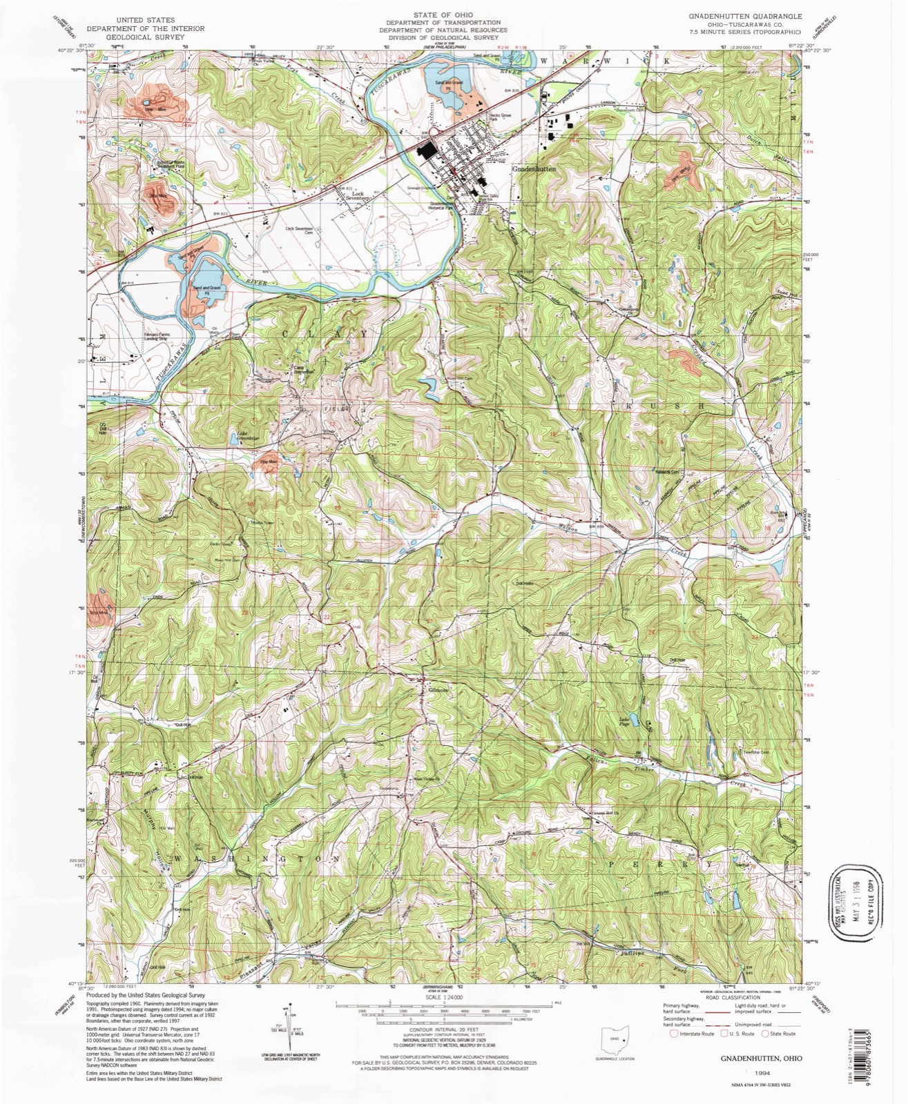
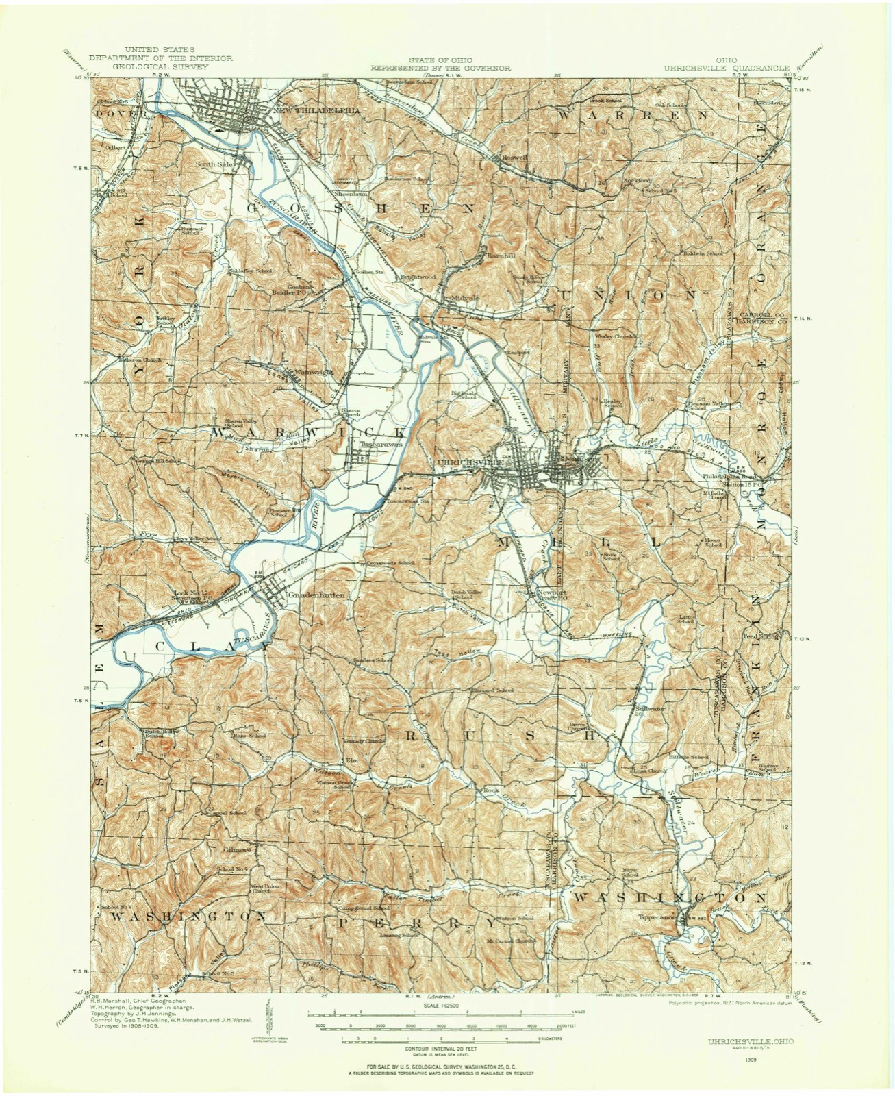
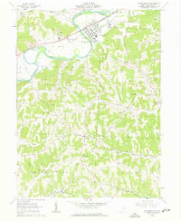
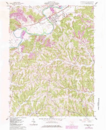
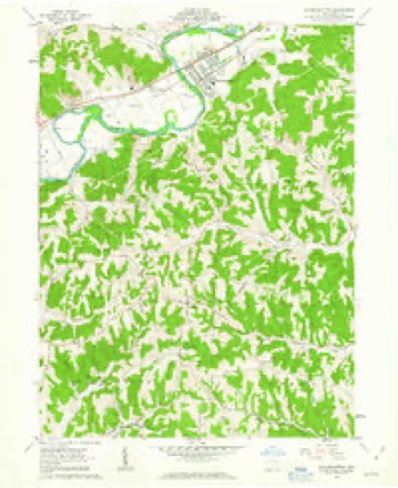
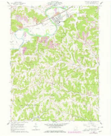
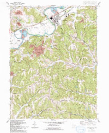
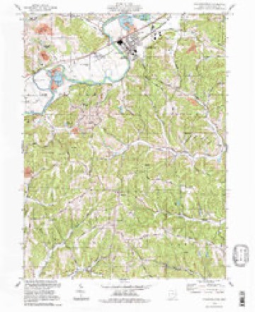
15 topographic sheets cover this place, the earliest surveyed in 1909 and the latest in 1994. It stands in Washington Township. It lies in ZIP code area 43837. The Survey maps it on the Gnadenhutten quadrangle.
Then and now
1909 to 1994The same ground, surveyed 85 years apart. Drag the handle to wipe between them. Both sheets are United States Geological Survey originals; neither has been altered.
Topographic sheets covering this place
15 sheetsMatched by testing this settlement's coordinate against the published boundary of every sheet in the United States Geological Survey's historical collection. Each opens the scanned sheet at the Survey.
- 1909 USGS Uhrichsville quadrangle1:62500
- 1911 USGS Uhrichsville quadrangle1:62500
- 1951 USGS Canton quadrangle1:250000
- 1953 USGS Canton quadrangle1:250000
- 1957 USGS Canton quadrangle1:250000
- 1957 USGS Canton quadrangle1:250000
- 1957 USGS Canton quadrangle1:250000
- 1962 USGS Canton quadrangle1:250000
- 1962 USGS Canton quadrangle1:250000
- 1962 USGS Gnadenhutten quadrangle1:24000
- 1962 USGS Gnadenhutten quadrangle1:24000
- 1962 USGS Gnadenhutten quadrangle1:24000
- 1962 USGS Gnadenhutten quadrangle1:24000
- 1993 USGS Gnadenhutten quadrangle1:24000
- 1994 USGS Gnadenhutten quadrangle1:24000







In the county-history sources
2,378 words on this townshipThe History of Tuscarawas County, Ohio, published 1884 names this settlement in its chapter on Washington Township. These are the passages that mention it, exactly as the scans read.
The Tuscarawas Chronicle preserves the legend of the site of Gilmore: " Years before Gilmore was a town, and, beyond the memory of most of the inhabitants, there lived a family near the present site of the village who were supposed to be robbers and murderers. Travelers, passing that way through the wilderness, mysteriously disappeared; strange horses and property supposed to have belonged to travelers were seen in possession of this family, and a number of suspicious circumstances made the community tolerably sure that there were dark doings in that home. No direct evidence could be obtained, but after the family left the country it is said that a number of articles were found that could not have come into their possession honestly. It is thought that many a poor victim lost his life here, and found a grave in the ravines near town, on account of the valuables he carried."
Passage source: The History of Tuscarawas County, Ohio, published 1884.
Near GiJmore, Joe Huff, the hunter of Perry Township, once had an encounter with wolves. He had been hunting and had slain two bears, which he dressed and hung on saplings out of the reach of the ravenous animals. Toward night he reached the vicinity of Gilmore. The day had been disagreeable, rain and snow falling alternately most of the time. He had heard the wolves howling for some time, but they caused him no uneasiness. They grew bolder as they circled around him and increased in number to fifteen or twenty. When he reached the head of the ravine below Schneider's blacksmith shop, they showed signs of attacking him. He had proceeded down the ravine but a short distance when they rushed at him from all sides. Hastily pointing his rifle, the piece only snapped, for the priming was wet. There was no time to change it and no safety in flight. Fortunately a bushy sapling stood near, and Huff* lost no time in ascending it, several of the wolves springing at him before he was fairly out of reach. Replacing the wet with dry powder, he shot into the struggling mass below with fatal effect, reloaded and repeated the operation until the bodies of ten or eleven dead wolves surrounded the tree. The rest then left him and he proceeded homeward.
Passage source: The History of Tuscarawas County, Ohio, published 1884.
In 1848, Walter M. Blake founded the town of Gilmore, on the east end of Lot 9, in the first quarter of Township 5, Range 2. Including five outlots, the plat contains forty- four acres. The inlots, eighty-three in number, compose an L-shaped piece of land, the streets of which are Burrows, Dearth and Blake. The town is located near the northeast corner of Washington Township, and adjoins Clay. It was named in honor of Nathaniel Gilmore, a wealthy Irish farmer residing in the vicinity. John Sewell, Sr., and John Dinning erected the first houses almost simultaneously. Sewell came to the newly founded town to operate a tread saw mill, which failed to work effectively, and was abandoned, Mr. Sewell returning to his farm. Philip Lanning erected the third house in the fall of 1848, and opened a store. He has been a merchant in the village ever since, during a period of thirty-five years, and still commands an extensive trade. John A. Bates opened a stock of goods for sale a few weeks prior to Mr. Lanning and kept store for several years. The number of stores has varied from one to four, there being two at present. A post office was established at Gilmore about thirty years ago; Philip Lanning was appointed Postmaster, and has ever since retained the office. A tannery was started by John Myers and Hugh Smith soon after the village was laid out. William Hines, William Shears, Harrison & Gray and John Arnold were the subsequent proprietors, and under the last named the tannery was abandoned about 1869. The village in 1880, contained 116 people, a slight depreciation from the census of 1870 and of 'I860. Besides the two stores, there are in the village a drug store, three blacksmith shops, two shoe shops and a wagon and carriage manufactory, now operated by Abraham Schneider, of Port Washington. One hundred vehicles have been manufactured here during the past year. Dr. Gamble was probably the first resident physician. He was succeeded by Dr Livingston who remained several years. Dr. Daniel Slonaker then located in the village and continued a practice until his death. Of the two physicians now established here, Dr. J. J. Gooding has been a resident of the village about eight years, and Dr. D. Hefling nearly twice as long.
Passage source: The History of Tuscarawas County, Ohio, published 1884.
Machine-read from a century-old scan, so expect the errors a machine makes: misspelled names, dropped words, stray characters.
Read the whole chapter on Washington Township - it names this place 3 more 3 times.
Fires near this place
13 since 2005Regional context, not property-specific evidence. The federal wildfire occurrence database lists 13 fires within 5 miles of Gilmore between 2005 and 2020, burning about 43 acres in total. None started naturally. None was recorded as arson. Distance is straight-line from the map coordinates, so a fire counted here may appear on a neighbouring settlement's page as well.
| Reported cause | Fires |
|---|---|
| Debris and open burning | 5 |
| Power generation/transmission/distribution | 4 |
| Missing data/not specified/undetermined | 3 |
| Smoking | 1 |
The most recent of them, most recent first, with the day each was reported and the service that recorded it.
| Date | Cause | Size | Reported by | Name on the report |
|---|---|---|---|---|
| 11 May 2018 | Power generation/transmission/distribution | 4.0 acres | Ohio Department of Natural Resources | 13588 |
| 11 May 2018 | Power generation/transmission/distribution | 18 acres | Ohio Department of Natural Resources | 13665 |
| 5 April 2017 | Missing data/not specified/undetermined | 1.0 acres | Ohio Department of Natural Resources | 9245 |
| 3 April 2020 | Power generation/transmission/distribution | 3.0 acres | Ohio Department of Natural Resources | 15689 |
| 16 April 2016 | Missing data/not specified/undetermined | under an acre | Ohio Department of Natural Resources | 4808 |
| 16 April 2005 | Missing data/not specified/undetermined | 3.8 acres | Ohio Department of Natural Resources | not named |
| 15 April 2017 | Debris and open burning | 4.0 acres | Ohio Department of Natural Resources | 9247 |
| 15 April 2016 | Smoking | 3.0 acres | Ohio Department of Natural Resources | 4806 |
Settlements close enough to share some of these fires:
Specimens collected near this place
12 of 208 shownRegional context, not property-specific evidence. Museums hold 208 specimens collected within 10 miles of Gilmore between 1851 and 1973: 148 Animalia, 33 Fungi, 27 Plantae. 12 distinct Species records are shown. Collected by A. Perry, Adams J. M. R., Adams J. R. M. and others. Each is a physical object with a catalogue number, and each entry opens the museum's record. This is what was collected and kept, not a survey of what lives here - nothing can be concluded from a species being absent.
| Image | Species | Year | Collected by | Where, as recorded |
|---|---|---|---|---|
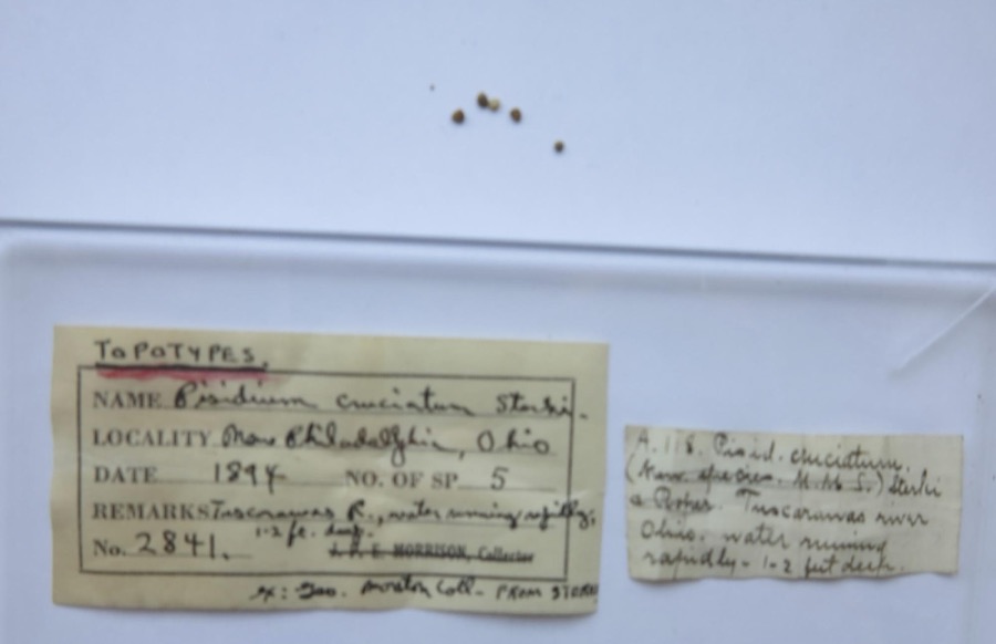 | Pisidium cruciatum Sterki, 1895 | 1894 | G. Marston | Tuscarawas River, New Philadelphia |
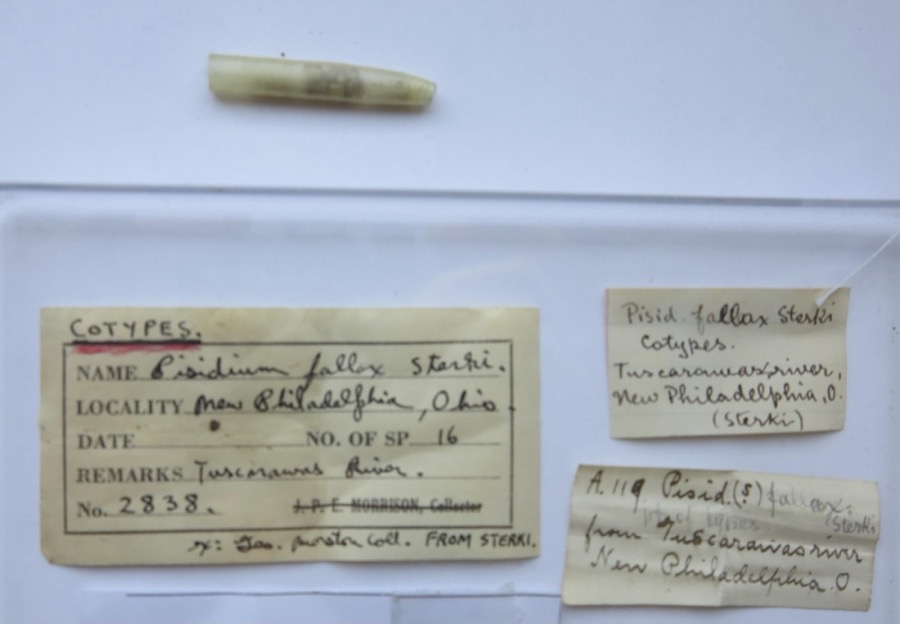 | Pisidium fallax Sterki, 1896 | 1894 | G. Marston | Tuscarawas River, New Philadelphia |
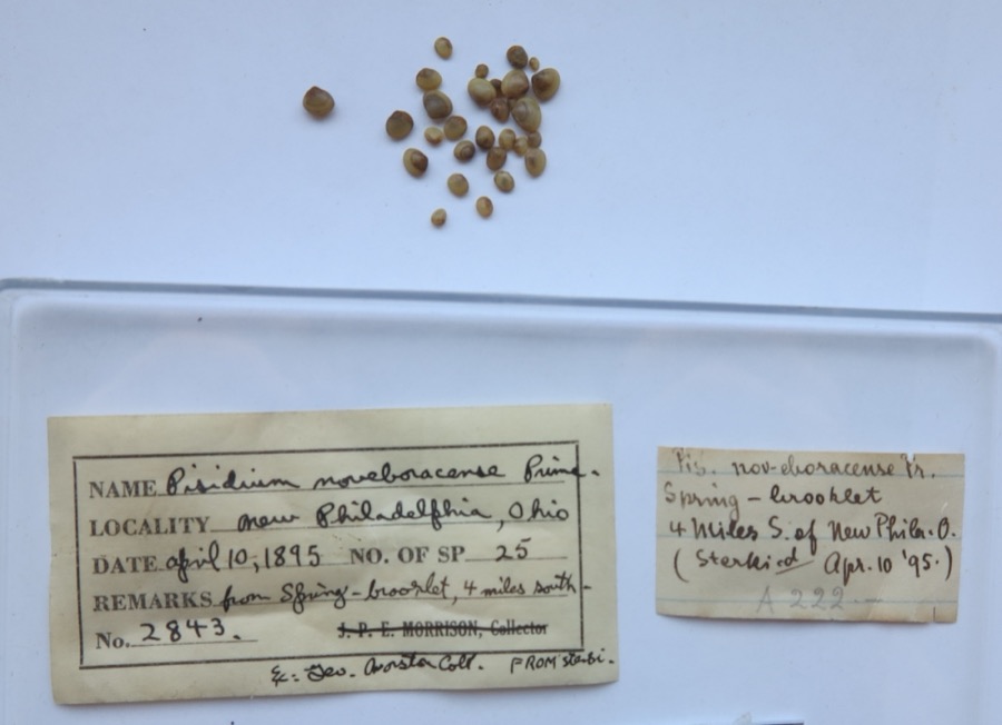 | Pisidium noveboracense Prime, 1858 | 1895 | G. Marston | from spring - brook lat. 4 miles south of New Philadelpia (Sterki) |
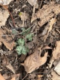 | Hydrophyllum appendiculatum Michx. | 1851 | Wolle, J. | Tuscarawa City |
 | Amblema plicata (Say, 1817) | 1891 | Sterki, Victor | Dennison(2 mi above) |
 | Fusconaia flava (Rafinesque, 1820) | 1891 | Sterki, Victor | Dennison(2 mi above) |
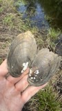 | Lampsilis radiata (Gmelin, 1791) | 1891 | Sterki, Victor | Dennison(2 mi above) |
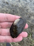 | Lasmigona costata (Rafinesque, 1820) | 1891 | Sterki, Victor | Dennison(2 mi above) |
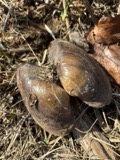 | Pyganodon grandis (Say, 1829) | 1891 | Sterki, Victor | Dennison(2 mi above) |
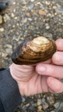 | Strophitus undulatus (Say, 1817) | 1891 | Sterki, Victor | Dennison(2 mi above) |
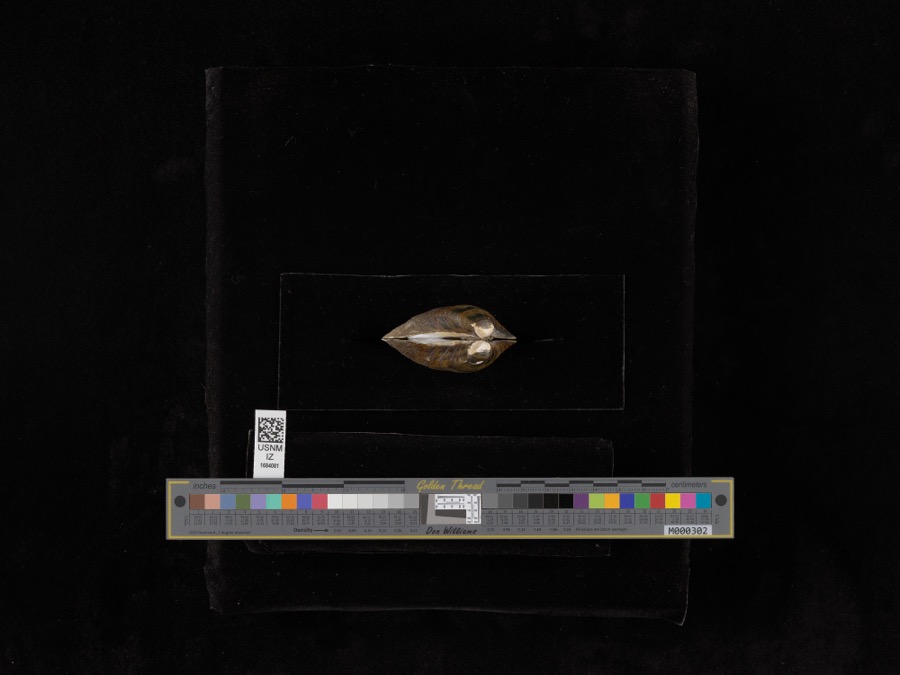 | Fusconaia subrotunda (I.Lea, 1831) | 1897 | V. Sterki | Tuscarawas River |
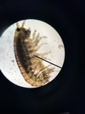 | Hyalella dentata S.I.Smith, 1874 | 1897 | V. Sterki | Tuscarawas River |
All 208 specimens within 10 miles, at the Global Biodiversity Information Facility.
Mines and quarries near this place
2 within 5 milesRegional context, not property-specific evidence. The federal mineral resources record lists 2 workings within 5 miles of Gilmore: 1 producer, 1 past producer. 1 still produces. What was taken out: Sand and Gravel, Construction, Clay. Distance is straight-line from the map coordinates, so a quarry counted here may appear on a neighbouring settlement's page as well.
| Where | Site | Commodity | Status | Recorded |
|---|---|---|---|---|
| Port Washington Mine | Clay | Past Producer | ||
| Stocker Sand and Gravel Pit | Sand and Gravel, Construction | Producer |
Storms near this place
5 since 1998Regional context, not property-specific evidence. The National Weather Service names Gilmore in 5 storm reports between 1998 and 2024: 3 thunderstorm wind, 2 hail. No death or injury is recorded in these reports. Each account below is quoted exactly as the forecast office filed it, from the NOAA Storm Events Database, and each date opens the federal record of that event.
| When | Event | Place named | Harm | What the report says |
|---|---|---|---|---|
| July 1998 | Thunderstorm Wind | Gilmore | $2,000 | no account filed |
| August 2012 | Thunderstorm Wind | Gilmore | $500 | Emergency management reported power lines down. |
| June 2022 | Thunderstorm Wind | Gilmore | - | Trees reported down. |
| March 2024 | Hail | Gilmore | - | no account filed |
| May 2010 | Hail | Gilmore | - | no account filed |
Nearest settlements
The eight closest, with where each one stands in the county. Distances are straight-line, computed from the Geographic Names Information System coordinates.
| Map | Place | Distance | Sheets |
|---|---|---|---|
| Elm (historical) | 2.2 miles | 15 | |
| Hartwood | 2.5 miles | 15 | |
| Rush | 4.1 miles | 14 | |
| Berwyn (historical) | 4.2 miles | 17 | |
| Rock | 4.3 miles | 14 | |
| Peoli | 4.4 miles | 17 | |
| Bernice | 4.6 miles | 14 | |
| Lock Seventeen | 4.6 miles | 15 |
Provenance
This settlement is recorded in the Geographic Names Information System as feature 1048784. The sheet list is computed by point-in-boundary test against the United States Geological Survey's historical topographic inventory. Both are works of the United States government and carry no copyright under 17 U.S.C. 105.
Wildfire. Short, Karen C. 2022. Spatial wildfire occurrence data for the United States, 1992-2020 [FPA_FOD_20221014]. 6th Edition. Fort Collins, CO: Forest Service Research Data Archive. https://doi.org/10.2737/RDS-2013-0009.6 Collected with United States Government funding and usable without additional permissions or fees.
Specimens. Global Biodiversity Information Facility (GBIF), https://www.gbif.org/. Only records licensed CC0 or CC BY are used. Records licensed CC BY-NC are excluded because this site carries advertising. Images are checked individually and any whose licence is non-commercial, no-derivatives or unreadable is refused.
Mines and quarries. USGS Mineral Resources Data System (MRDS) https://mrdata.usgs.gov/mrds/ A work of the United States government, no copyright under 17 U.S.C. 105.
Storms. NOAA National Centers for Environmental Information, Storm Events Database https://www.ncei.noaa.gov/stormevents/ A work of the United States government, no copyright under 17 U.S.C. 105. Narratives are quoted verbatim from the National Weather Service report and are not edited or summarised.