 Block
Block
Grove City, Ohio
15 topographic sheets cover this place, the earliest surveyed in 1923 and the latest in 1986. It stands in Jackson Township. It lies in ZIP code area 43123. It stands on Republican Run. The Survey maps it on the Southwest Columbus quadrangle. 41,252 people lived here at the 2020 count. It stands 850 feet above sea level.
Population over time
2 figuresGrove City grew from 35,575 to 41,252 between 2010 and 2020. These are the recorded population figures Wikidata holds for this place, reached through the Geographic Names Information System number this page is keyed on rather than by name, so they belong to this place and not to another of the same name. Most are census counts, but not all are: an early figure may be a founding or settlement estimate. The change column is computed, and is left blank where more than 20 years separate a figure from the one before it, because a gap that long is not a change between two counts.
| Year | People | Change |
|---|---|---|
| 2010 | 35,575 | |
| 2020 | 41,252 | +5,677 (+16%) |
Then and now
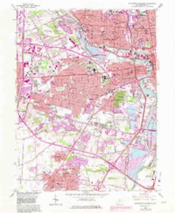
1923 to 1986The same ground, surveyed 63 years apart. Drag the handle to wipe between them. Both sheets are United States Geological Survey originals; neither has been altered.

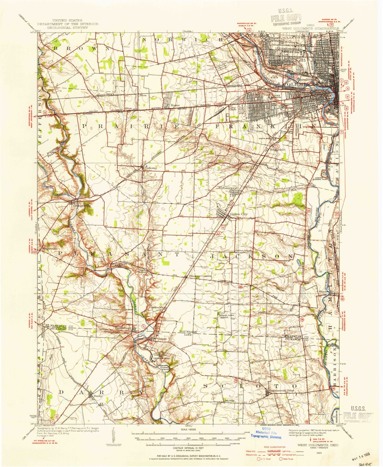
Topographic sheets covering this place
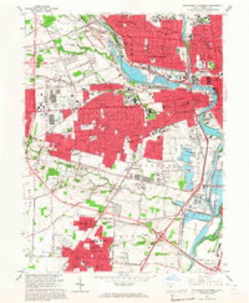
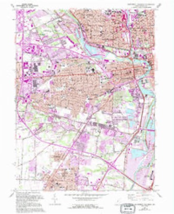
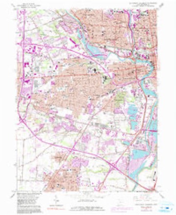
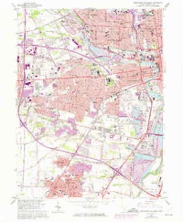
15 sheetsMatched by testing this settlement's coordinate against the published boundary of every sheet in the United States Geological Survey's historical collection. Each opens the scanned sheet at the Survey.
- 1923 USGS West Columbus quadrangle1:62500
- 1925 USGS West Columbus quadrangle1:62500
- 1947 USGS Columbus quadrangle1:250000
- 1955 USGS Southwest Columbus quadrangle1:24000
- 1961 USGS Columbus quadrangle1:250000
- 1962 USGS Columbus quadrangle1:250000
- 1965 USGS Southwest Columbus quadrangle1:24000
- 1965 USGS Southwest Columbus quadrangle1:24000
- 1965 USGS Southwest Columbus quadrangle1:24000
- 1965 USGS Southwest Columbus quadrangle1:24000
- 1965 USGS Southwest Columbus quadrangle1:24000
- 1967 USGS Columbus quadrangle1:250000
- 1967 USGS Columbus quadrangle1:250000
- 1986 USGS Springfield quadrangle1:100000
- 1986 USGS Springfield quadrangle1:100000







In the county-history sources
322 words on this townshipThe county-history sources names this settlement in its chapter on Jackson Township. These are the passages that mention it, exactly as the scans read.
Machine-read from a century-old scan, so expect the errors a machine makes: misspelled names, dropped words, stray characters.
Read the whole chapter on Jackson Township - it names this place 1 more 1 time.
Fires near this place
2 since 2003Regional context, not property-specific evidence. The federal wildfire occurrence database lists 2 fires within 5 miles of Grove City between 2003 and 2003, burning about 1 acres in total. None started naturally. None was recorded as arson. Distance is straight-line from the map coordinates, so a fire counted here may appear on a neighbouring settlement's page as well.
| Reported cause | Fires |
|---|---|
| Debris and open burning | 1 |
| Equipment and vehicle use | 1 |
The most recent of them, most recent first, with the day each was reported and the service that recorded it.
| Date | Cause | Size | Reported by | Name on the report |
|---|---|---|---|---|
| 19 March 2003 | Equipment and vehicle use | 1.0 acres | Ohio Department of Natural Resources | not named |
| 16 March 2003 | Debris and open burning | under an acre | Ohio Department of Natural Resources | not named |
Settlements close enough to share some of these fires:
Specimens collected near this place
12 of 9,239 shownRegional context, not property-specific evidence. Museums hold 9,239 specimens collected within 10 miles of Grove City between 1814 and 1975: 7,213 Animalia, 1,314 Fungi, 567 Plantae, 117 Chromista, 27 Unrecorded, 1 Protozoa. 12 distinct Species records are shown. Collected by 19 V 1938 in original publication, Knull, =, ? and others. Each is a physical object with a catalogue number, and each entry opens the museum's record. This is what was collected and kept, not a survey of what lives here - nothing can be concluded from a species being absent.
| Image | Species | Year | Collected by | Where, as recorded |
|---|---|---|---|---|
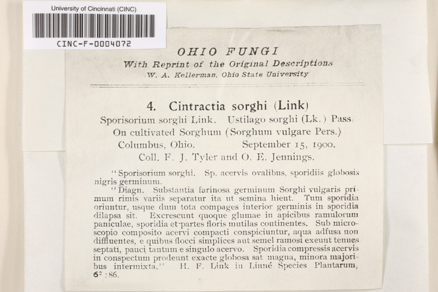 | Cintractia sorghi (Sorokn) De Toni | 1900 | Tyler, F.J.; O. E. Jennings | Columbus |
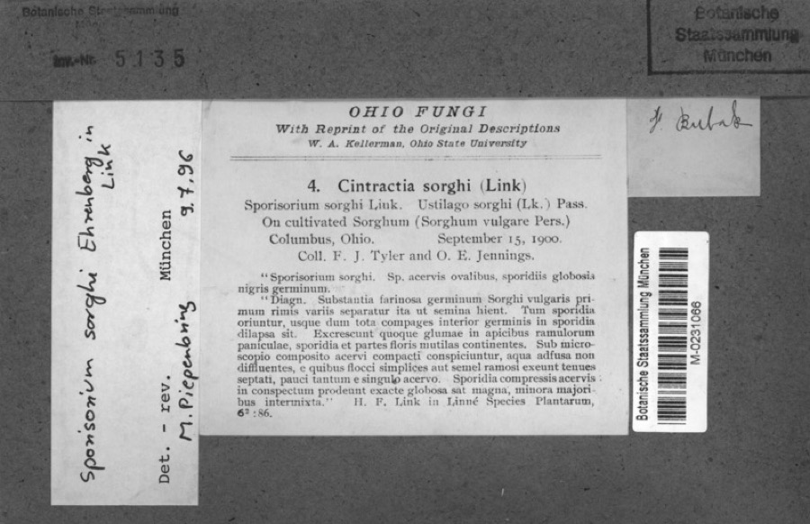 | Sorghum bicolor (L.) Moench | 1900 | Jennings, O.E. | Columbus, Ohio. |
 | Hirundo Linnaeus, 1758 | 1814 | not recorded | Columbus Ohio, Franklin, Ohio, USA |
 | Callimome strobiloides Huber, 1927 | 1821 | C. Huber | Columbus |
 | Solidago riddellii Frank | 1832 | W. A. Kellerman | A few miles N of Columbus. |
 | Carex lupulina Muhl. ex Willd. | 1834 | Anonymous | Columbus. |
 | Anomodon viticulosus (Hedw.) Hook. & Taylor | 1837 | W. S. Sullivant | Near Columbus |
 | Carex bullata Willd. | 1837 | Anonymous | Columbus. |
 | Carex comosa Boott | 1837 | Anonymous | Columbus. |
 | Carex granularis Muhl. ex Willd. | 1837 | Anonymous | Columbus. |
 | Acris crepitans blanchardi Harper, 1947 | 1897 | not recorded | No Further Locality Data |
| Albugo candida (Pers. ex J.F.Gmel.) Roussel | 1897 | Clevenger, J. F. | Columbus |
All 9,239 specimens within 10 miles, at the Global Biodiversity Information Facility.
Mines and quarries near this place
6 within 5 milesRegional context, not property-specific evidence. The federal mineral resources record lists 6 workings within 5 miles of Grove City: 3 past producers, 2 producers, 1 plant. 3 still produce. What was taken out: Sand and Gravel, Construction, Limestone, General, Stone, Crushed/Broken, Sand and Gravel, Construction, Stone, Crushed/Broken. Distance is straight-line from the map coordinates, so a quarry counted here may appear on a neighbouring settlement's page as well.
| Where | Site | Commodity | Status | Recorded |
|---|---|---|---|---|
| Columbus 210 Pit & Mill | Sand and Gravel, Construction, Stone, Crushed/Broken | Plant | ||
| Columbus Limestone #221 | Stone, Crushed/Broken | Producer | ||
| Columbus Limestone Quarry | Limestone, General | Past Producer | Sedimentary | |
| Columbus South #210 | Sand and Gravel, Construction | Producer | ||
| Hart Road Sand and Gravel Pit | Sand and Gravel, Construction | Past Producer | Sedimentary | |
| Masons Plant Number 2 Pit | Sand and Gravel, Construction | Past Producer | Sedimentary |
Storms near this place
60 since 1994Regional context, not property-specific evidence. The National Weather Service names Grove City in 60 storm reports between 1994 and 2025: 25 hail, 21 thunderstorm wind, 7 flash flood, 4 flood. The reports record 1 death and 2 injuries. Each account below is quoted exactly as the forecast office filed it, from the NOAA Storm Events Database, and each date opens the federal record of that event.
| When | Event | Place named | Harm | What the report says |
|---|---|---|---|---|
| June 2005 | Lightning | Grove City | 1 killed, 2 hurt | A man at the Phoenix Golf Links was struck by lightning and killed. Two other men in his party were injured by the lightning strike. |
| April 2018 | Tornado (EF1) | Grove City | $120,000 | The tornado initially touched down just south of Orders Road and moved northeast, crossing Hoover Road and I-71, and eventually White Road before lifting just north of White Road and just south of Stringtown Road.||The most significant damage along this path occurred on the west side of I-71, first near Orders Road where 4 large utility poles were snapped at the base and lying across Orders Road. Structural damage was found to multiple townhouses and other structures on the west side of Hoover Road, where a newly built detached garage was completely destroyed, and several townhouses had partial uplift and removal of roofing and damage to exterior walls. Many townhouses had garage doors pushed in, with portions of roofs removed. Debris spatter was indicated on all 4 sides of several structures. Four more large electrical transmission poles were snapped on the west side of Hoover Road. Eyewitness photos and videos confirm a tornado on the ground in this area. The most significant damage in this area was consistent with wind speeds around 105 mph and represents the strongest of the winds associated with this tornado.||As the tornado crossed I-71, it began to weaken and lift as damage became lighter and more intermittent, consisting of tree and minor structural damage to roofing materials. Still, many homes immediately east of I-71 suffered at least minor damage and/or tree damage before the tornado lifted. |
| June 2016 | Thunderstorm Wind | Grove City | $110,000 | One tree was downed at Harrisburg Pike and Paul St. |
| April 2007 | Thunderstorm Wind | Grove City | $75,000 | Several homes sustained roof and siding damage in the Robin Estates neighborhood off of Demorest Road. Numerous large trees were uprooted and debris was scattered throughout the neighborhood. Additional trees were down along Clime Road, causing minor damage to automobiles. The damage was caused by a possible microburst with winds in excess of 60 mph. |
| August 2009 | Flash Flood | Grove City | $20,000 | There were several reports of street flooding across Grove City with four water rescues also reported. |
| July 2007 | Thunderstorm Wind | Grove City | $10,000 | Thirty trees, five of which were greater than three feet in diameter, were downed at the Pinnacle Golf Course. Several trees and power lines were knocked down along White Road, and a few homes had siding peeled off. |
| June 2006 | Flash Flood | Grove City | $10,000 | Numerous roads were flooded and closed across the southern part of Franklin County. Two boys were were swept into Big Run Creek near Grove City. They were later rescued. |
| May 2002 | Hail | Grove City | $10,000 | no account filed |
| November 1996 | Thunderstorm Wind | Grove City | $10,000 | no account filed |
| March 2020 | Flash Flood | Grove City | $5,000 | A few cars were stranded in high water on south State Route 104 near Stringtown Road. |
| May 1996 | Flash Flood | Grove City | $5,000 | no account filed |
| June 1996 | Thunderstorm Wind | Grove City | $5,000 | no account filed |
| July 2024 | Thunderstorm Wind | Grove City | $3,000 | A few trees were downed. |
| April 2018 | Thunderstorm Wind | Grove City | $3,000 | Multiple utility poles were knocked down. |
| July 2005 | Thunderstorm Wind | Grove City | $3,000 | Trees were downed. |
| August 1997 | Thunderstorm Wind | Grove City | $3,000 | Several trees downed. |
| May 2015 | Thunderstorm Wind | Grove City | $2,000 | A large limb was downed and a house lost some siding. |
| May 2022 | Thunderstorm Wind | Grove City | $1,000 | A tree was downed on Knapp Drive. |
| September 2010 | Thunderstorm Wind | Grove City | $1,000 | Two large tree limbs were reported down due to damaging thunderstorm winds. |
| August 2010 | Thunderstorm Wind | Grove City | $1,000 | Large branches were reported down around the area. |
| August 2006 | Tornado (F0) | Grove City | $1,000 | A tornado briefly touched down near the intersection of US Route 23 and Interstate 270 on the south side of the Columbus metro area. |
| November 2007 | Hail | Grove City | $1,000 | no account filed |
| August 2019 | Thunderstorm Wind | Grove City | $500 | A twelve inch diameter branch split from a tree. |
| June 2018 | Thunderstorm Wind | Grove City | $500 | One limb was knocked down along Columbus Street. |
| June 2016 | Thunderstorm Wind | Grove City | $500 | One large tree limb was reported knocked down. |
| July 2020 | Thunderstorm Wind | Grove City | $200 | A few small trees were knocked over. |
| April 2024 | Flood | Grove City | - | High water was reported near the intersection of State Route 665 and Hoover Road. |
| February 2024 | Hail | Grove City | - | Two separate reports of ping pong sized hail were received in the Grove City area. |
| July 2020 | Flood | Grove City | - | High water was reported on I-71 and also on Hoover Road. |
| June 2019 | Flash Flood | Grove City | - | One foot of water was flowing on U.S. Route 62. |
| September 2018 | Flood | Grove City | - | Dorothy Lane was impassable due to high water. |
| June 2018 | Flood | Grove City | - | Ponding of water approximately one foot deep was reported near the intersection of Franklin St. and Grove City Road. |
| June 2011 | Thunderstorm Wind | Grove City | - | The spotter estimated the wind gust. |
| April 2010 | Hail | Grove City | - | One inch hail also fell in this location. |
| May 2001 | Flash Flood | Grove City | - | High water on roads |
| July 2001 | Flash Flood | Grove City | - | Thunderstorms produced heavy rain causing three feet of water on roads. |
| July 1994 | Hail | Grove City | - | Trees were downed and large hail fell at several locations. |
| February 2025 | Hail | Grove City | - | no account filed |
| February 2024 | Hail | Grove City | - | no account filed |
| May 2022 | Hail | Grove City | - | no account filed |
| April 2018 | Hail | Grove City | - | no account filed |
| April 2018 | Hail | Grove City | - | no account filed |
| April 2018 | Hail | Grove City | - | no account filed |
| July 2017 | Hail | Grove City | - | no account filed |
| April 2016 | Hail | Grove City | - | no account filed |
| April 2016 | Hail | Grove City | - | no account filed |
| April 2016 | Hail | Grove City | - | no account filed |
| March 2012 | Hail | Grove City | - | no account filed |
| April 2010 | Hail | Grove City | - | no account filed |
| September 2010 | Hail | Grove City | - | no account filed |
| September 2010 | Hail | Grove City | - | no account filed |
| May 2004 | Hail | Grove City | - | no account filed |
| July 2003 | Thunderstorm Wind | Grove City | - | no account filed |
| May 2002 | Thunderstorm Wind | Grove City | - | no account filed |
| May 2002 | Thunderstorm Wind | Grove City | - | no account filed |
| April 2001 | Hail | Grove City | - | no account filed |
| June 2001 | Hail | Grove City | - | no account filed |
| May 1998 | Hail | Grove City | - | no account filed |
| May 1997 | Hail | Grove City | - | no account filed |
| April 1995 | Hail | Grove City | - | no account filed |
Nearest settlements
The eight closest, with where each one stands in the county. Distances are straight-line, computed from the Geographic Names Information System coordinates.
| Map | Place | Distance | Sheets |
|---|---|---|---|
| Woodlawn Addition | 0.1 miles | 15 | |
| Sherry Lynne Homes | 0.4 miles | 15 | |
| Kingswood Heights | 0.5 miles | 15 | |
| Oak Grove | 0.6 miles | 15 | |
| Castle Farms | 0.6 miles | 12 | |
| Jackson Homes | 0.7 miles | 15 | |
| Tanglebrook | 0.7 miles | 15 | |
| Barfield Heights | 0.7 miles | 15 |
Elsewhere
Matched on this settlement's Geographic Names Information System number rather than its name, so it cannot be a different place of the same name in another state.
| Wikipedia article on Grove City | An encyclopaedic summary. Its text is share-alike, so it is linked here rather than copied. |
| Wikidata item Q590713 | The structured record the population and elevation above come from. Public domain (CC0). |
Provenance
This settlement is recorded in the Geographic Names Information System as feature 1048806. The sheet list is computed by point-in-boundary test against the United States Geological Survey's historical topographic inventory. Both are works of the United States government and carry no copyright under 17 U.S.C. 105.
Wildfire. Short, Karen C. 2022. Spatial wildfire occurrence data for the United States, 1992-2020 [FPA_FOD_20221014]. 6th Edition. Fort Collins, CO: Forest Service Research Data Archive. https://doi.org/10.2737/RDS-2013-0009.6 Collected with United States Government funding and usable without additional permissions or fees.
Specimens. Global Biodiversity Information Facility (GBIF), https://www.gbif.org/. Only records licensed CC0 or CC BY are used. Records licensed CC BY-NC are excluded because this site carries advertising. Images are checked individually and any whose licence is non-commercial, no-derivatives or unreadable is refused.
Mines and quarries. USGS Mineral Resources Data System (MRDS) https://mrdata.usgs.gov/mrds/ A work of the United States government, no copyright under 17 U.S.C. 105.
Storms. NOAA National Centers for Environmental Information, Storm Events Database https://www.ncei.noaa.gov/stormevents/ A work of the United States government, no copyright under 17 U.S.C. 105. Narratives are quoted verbatim from the National Weather Service report and are not edited or summarised.