 Block
Joy, Ohio
14 topographic sheets cover this place, the earliest surveyed in 1904 and the latest in 2002. It stands in Homer Township. It lies in ZIP code area 43728. It stands on Joy Run. The Survey maps it on the Amesville quadrangle.
Then and now
1904 to 2002The same ground, surveyed 98 years apart. Drag the handle to wipe between them. Both sheets are United States Geological Survey originals; neither has been altered.
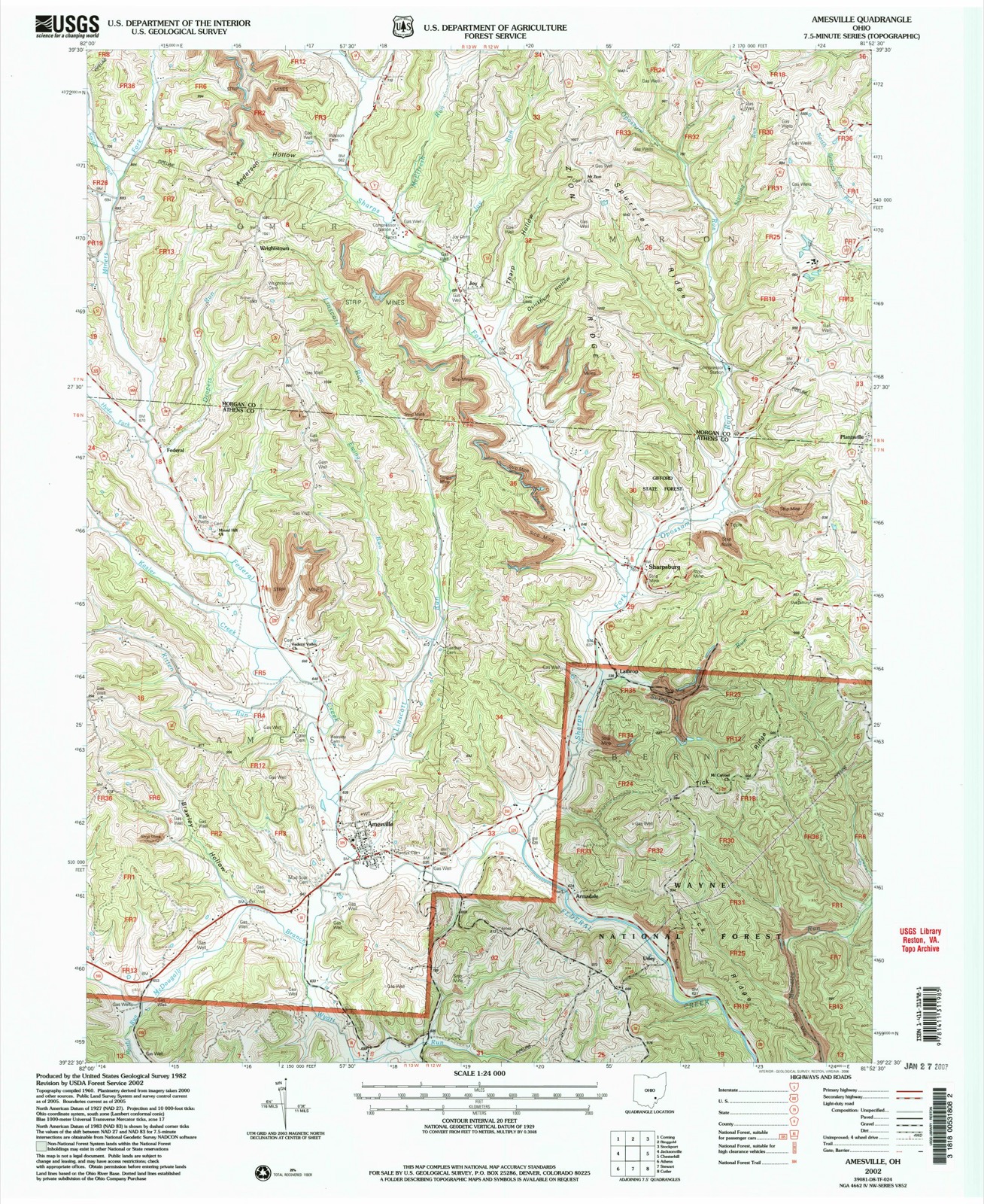
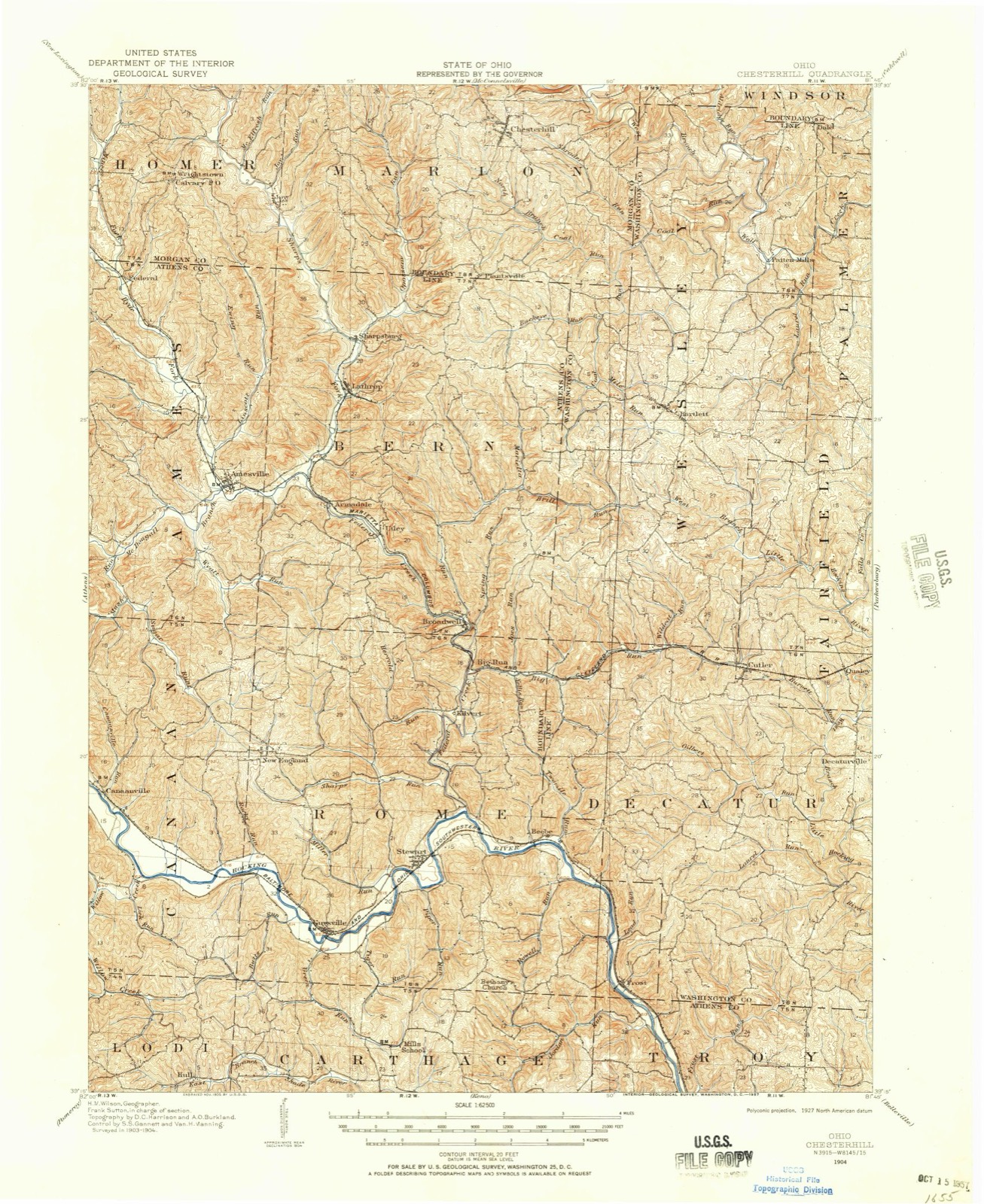
Topographic sheets covering this place
10 surveys from 14 printed sheetsMatched by testing this settlement's coordinate against the published boundary of every sheet in the United States Geological Survey's historical collection. Each opens the scanned sheet at the Survey.
- 1904 USGS Chesterhill quadrangle1:62500
- 1906 USGS Chesterhill quadrangle1:62500
- 1949 USGS Clarksburg quadrangle1:250000
- 1956 USGS Clarksburg quadrangle1:250000, 2 printings
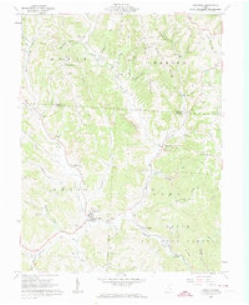
- 1960 USGS Amesville quadrangle1:24000, 4 printings
- 1961 USGS Clarksburg quadrangle1:250000
- 1981 USGS Parkersburg quadrangle1:100000
- 1988 USGS Clarksburg quadrangle1:250000
- 1994 USGS Amesville quadrangle1:24000
- 2002 USGS Amesville quadrangle1:24000
In the county-history sources
8,868 words on this townshipHistory of Morgan County, Ohio, with Portraits and Biographical Sketches of Some of Its Pioneers and Prominent Men, published 1886 names this settlement in its chapter on Homer Township. These are the passages that mention it, exactly as the scans read.
Other early settlers in Homer Township (some of them in that part of the original township of Homer now known as Marion Township) were Sharp, on the stream still known as Sharp's Fork ; Champlin, Reuben Rice, the Lovells, from Massachusetts; John Beardsley, from Virginia; Peter Vore, William Tryon; the Joys, after whom the village of Joy was named; the Farleys, Starlings, Proutys, Browns, Carpenters, Withams, Moodys, McLains and others.
Passage source: History of Morgan County, Ohio, with Portraits and Biographical Sketches of Some of Its Pioneers and Prominent Men, published 1886.
Captain Thomas S. Lovell, one of the prominent early settlers of Homer, was born in Barnstable, Mass., in December, 17*5. in early life he followed the sea, making forty-one voyages across the Atlantic. In 1814 he settled on the farm now owned by his son John W. His family was about the fourth in the township. The old log house in which Captain Lovell and bis brother Russell passed the first winter is still standing. Captain Lovell was wholly unused to farming and to pioneer ways, yet, by adapting himself to circumstances, he managed to get along comfortably and well. He served as justice of the peace one term. His wife's maiden name was Charlotte N orcross, and she was the mother of seven children : Charlotte A., deceased, was the wife of J. W. Spurr; Susan G. married John E. Vore; Georgiana, deceased, married George Walker; Thomas R. married Lorina Ellis; O. M. married Rosanna Jenkins; Augustine married Eliza A. Joy ; John W. married Eliza J. Wheeler. John W. Lovell, born in 1827, is the father of J. Alfred, O. M., Eliza J. (Elliott) and Georgia.
Passage source: History of Morgan County, Ohio, with Portraits and Biographical Sketches of Some of Its Pioneers and Prominent Men, published 1886.
The oil-producing industry was at one time quite important in this township. The first well was drilled on the Bishop farm, in April, 1861, by Sidney S. Tuller. A good quality of illuminating oil was reached at the depth of sixty-seven feet. Several other wells were drilled on the same farm. The average product of each well for the first six months was about forty barrels per day. The best well on the farm was that owned by Bishop Brothers. In the succeeding years the Joy farm was found to be good oil territory. The Mansfield Petroleum Company now control this farm.
Passage source: History of Morgan County, Ohio, with Portraits and Biographical Sketches of Some of Its Pioneers and Prominent Men, published 1886.
Machine-read from a century-old scan, so expect the errors a machine makes: misspelled names, dropped words, stray characters.
Read the whole chapter on Homer Township - it names this place 5 more 5 times.
Fires near this place
11 since 2010Regional context, not property-specific evidence. The federal wildfire occurrence database lists 11 fires within 5 miles of Joy between 2010 and 2019, burning about 29 acres in total. None started naturally. None was recorded as arson. Distance is straight-line from the map coordinates, so a fire counted here may appear on a neighbouring settlement's page as well.
| Reported cause | Fires |
|---|---|
| Debris and open burning | 6 |
| Missing data/not specified/undetermined | 3 |
| Equipment and vehicle use | 2 |
The most recent of them, most recent first, with the day each was reported and the service that recorded it.
| Date | Cause | Size | Reported by | Name on the report |
|---|---|---|---|---|
| 12 September 2019 | Equipment and vehicle use | under an acre | Ohio Department of Natural Resources | 15255 |
| 7 June 2012 | Equipment and vehicle use | under an acre | Ohio Department of Natural Resources | not named |
| 6 April 2014 | Missing data/not specified/undetermined | 5.0 acres | Ohio Department of Natural Resources | not named |
| 23 April 2010 | Debris and open burning | under an acre | Ohio Department of Natural Resources | not named |
| 31 March 2015 | Debris and open burning | 1.0 acres | Ohio Department of Natural Resources | 633 |
| 19 March 2018 | Debris and open burning | 3.0 acres | Ohio Department of Natural Resources | 10367 |
| 15 March 2018 | Debris and open burning | under an acre | Ohio Department of Natural Resources | 11486 |
| 28 February 2019 | Missing data/not specified/undetermined | 8.0 acres | Ohio Department of Natural Resources | 15148 |
Settlements close enough to share some of these fires:
Specimens collected near this place
12 of 77 shownRegional context, not property-specific evidence. Museums hold 77 specimens collected within 10 miles of Joy between 1898 and 1972: 52 Animalia, 25 Plantae. 12 distinct Species records are shown. Collected by A.D. Huryn, B.R. Bales, Bolen, H. (Harold) and others. Each is a physical object with a catalogue number, and each entry opens the museum's record. This is what was collected and kept, not a survey of what lives here - nothing can be concluded from a species being absent.
| Image | Species | Year | Collected by | Where, as recorded |
|---|---|---|---|---|
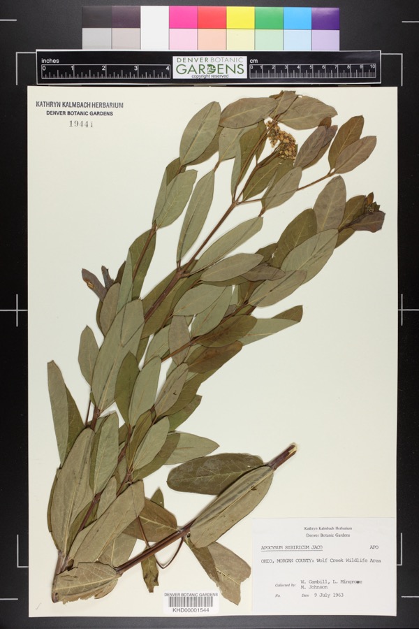 | Apocynum cannabinum L. | 1963 | William G. Gambill Jr.; L. Mingrone; M. Johnson | Wolf Creek Wildlife Area |
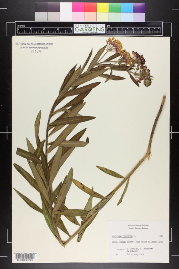 | Asclepias tuberosa L. | 1963 | William G. Gambill Jr.; L. Mingrowe; M. Johnson | Wolf Creek Wildlife Area |
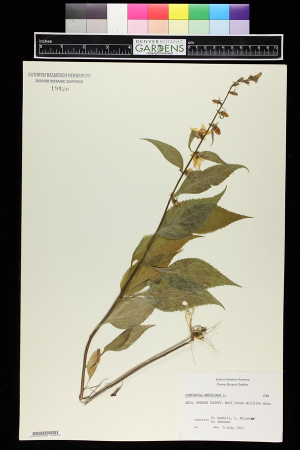 | Campanulastrum americanum (L.) Small | 1963 | William G. Gambill Jr.; M. Johnson | Wolf Creek Wildlife Area. |
 | Sporobolus vaginiflorus (Torr. ex A.Gray) Alph.Wood | 1898 | Selby, A.D. | Palos |
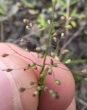 | Dichanthelium acuminatum (Sw.) Gould & C.A.Clark | 1899 | Selby, A.D. | Palos |
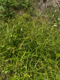 | Scirpus polyphyllus Vahl | 1899 | Selby, A.D. | Palos |
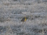 | Sturnella magna magna (Linnaeus, 1758) | 1911 | B.R. Bales | Ringgold |
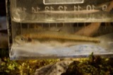 | Lythrurus umbratilis (Girard, 1856) | 1927 | MB Trautman & RB Foster | W Branch, Wolf Creek, Penn. Twp |
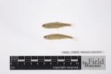 | Notropis umbratilis (Girard, 1856) | 1927 | Trautman, M. B. (Milton Bernard) & Foster, R. (Robert) | East Branch Sunday Creek, within Homer township, near Glouster, Homer township |
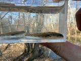 | Etheostoma nigrum Rafinesque, 1820 | 1930 | Trautman, M. B. (Milton Bernard) & Foster, R. (Robert) | Wolf Creek tributary, within Wesley township, near Stockport, Wesley township |
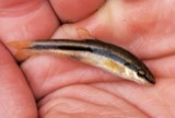 | Rhinichthys atratulus meleagris Agassiz, 1854 | 1930 | Trautman, M. B. (Milton Bernard) & Foster, R. (Robert) | Wolf Creek tributary, within Wesley township, near Stockport, Wesley township |
 | Fontinalis sphagnifolia (Müll.Hal.) Wijk & Margad. | 1932 | E. L. Braun | On lower tributary of Bundle Run, above falls |
All 77 specimens within 10 miles, at the Global Biodiversity Information Facility.
Nearest settlements
The eight closest, with where each one stands in the county. Distances are straight-line, computed from the Geographic Names Information System coordinates.
| Map | Place | Distance | Sheets |
|---|---|---|---|
| Wrightstown | 1.8 miles | 14 | |
| Plantsville | 3.7 miles | 14 | |
| Mountville | 4.1 miles | 13 | |
| Chesterhill | 4.2 miles | 14 | |
| Elliott Crossroads | 4.2 miles | 13 | |
| Lewis (historical) | 4.4 miles | 19 | |
| Linscott (historical) | 5.5 miles | 19 | |
| Westland | 5.9 miles | 13 |
Provenance
This settlement is recorded in the Geographic Names Information System as feature 1076156. The sheet list is computed by point-in-boundary test against the United States Geological Survey's historical topographic inventory. Both are works of the United States government and carry no copyright under 17 U.S.C. 105.
Wildfire. Short, Karen C. 2022. Spatial wildfire occurrence data for the United States, 1992-2020 [FPA_FOD_20221014]. 6th Edition. Fort Collins, CO: Forest Service Research Data Archive. https://doi.org/10.2737/RDS-2013-0009.6 Collected with United States Government funding and usable without additional permissions or fees.
Specimens. Global Biodiversity Information Facility (GBIF), https://www.gbif.org/. Only records licensed CC0 or CC BY are used. Records licensed CC BY-NC are excluded because this site carries advertising. Images are checked individually and any whose licence is non-commercial, no-derivatives or unreadable is refused.