 Block
Block
Lake Cable, Ohio
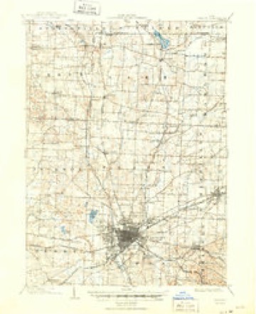
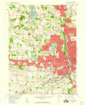
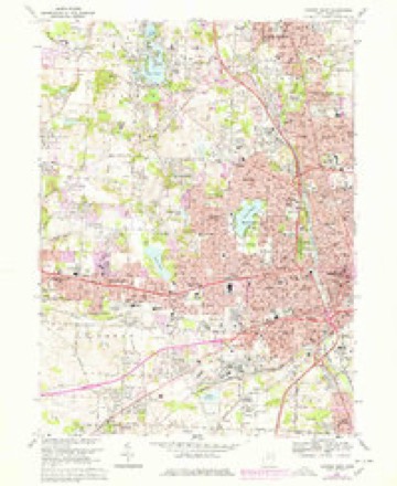
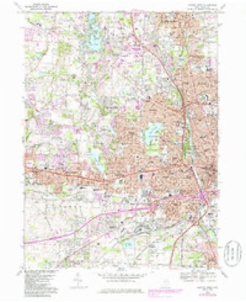
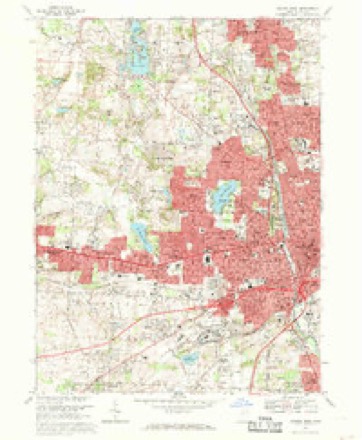
17 topographic sheets cover this place, the earliest surveyed in 1901 and the latest in 1994. It stands in Jackson Township. It lies in ZIP code area 44718. The Survey maps it on the Canton West quadrangle.
Then and now
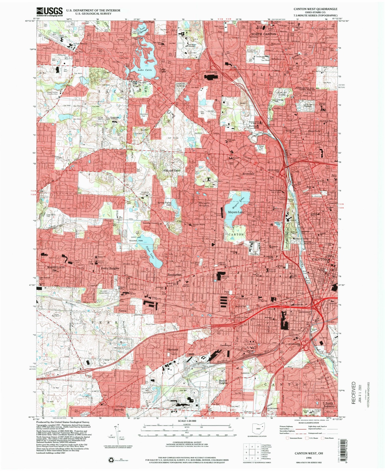
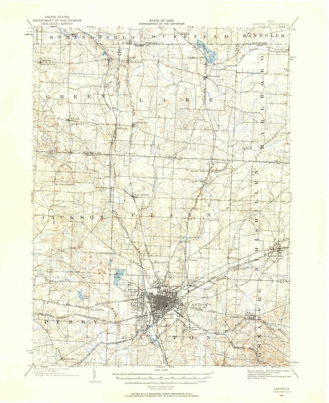
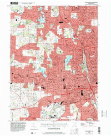
1901 to 1994The same ground, surveyed 93 years apart. Drag the handle to wipe between them. Both sheets are United States Geological Survey originals; neither has been altered.
Topographic sheets covering this place
17 sheetsMatched by testing this settlement's coordinate against the published boundary of every sheet in the United States Geological Survey's historical collection. Each opens the scanned sheet at the Survey.
- 1901 USGS Canton quadrangle1:62500
- 1903 USGS Canton quadrangle1:62500
- 1903 USGS Canton quadrangle1:62500
- 1951 USGS Canton quadrangle1:250000
- 1953 USGS Canton quadrangle1:250000
- 1957 USGS Canton quadrangle1:250000
- 1957 USGS Canton quadrangle1:250000
- 1957 USGS Canton quadrangle1:250000
- 1958 USGS Canton West quadrangle1:24000
- 1962 USGS Canton quadrangle1:250000
- 1962 USGS Canton quadrangle1:250000
- 1967 USGS Canton West quadrangle1:24000
- 1967 USGS Canton West quadrangle1:24000
- 1967 USGS Canton West quadrangle1:24000
- 1986 USGS Canton quadrangle1:100000
- 1986 USGS Canton quadrangle1:100000
- 1994 USGS Canton West quadrangle1:24000







Fires nearby
1 since 2005The federal wildfire occurrence database lists 1 fire within 5 miles of Lake Cable between 2005 and 2005, burning about 8 acres in total. None started naturally. None was recorded as arson. Distance is straight-line from the map coordinates, so a fire counted here may appear on a neighbouring settlement's page as well.
| Reported cause | Fires |
|---|---|
| Debris and open burning | 1 |
The most recent of them, most recent first, with the day each was reported and the service that recorded it.
| Date | Cause | Size | Reported by | Name on the report |
|---|---|---|---|---|
| 13 April 2005 | Debris and open burning | 8.0 acres | Ohio Department of Natural Resources | not named |
Settlements close enough to share some of these fires:
Specimens collected nearby
12 of 484 shownMuseums hold 484 specimens collected within 10 miles of Lake Cable between 1836 and 1975: 417 Animalia, 53 Plantae, 8 Unrecorded, 5 Fungi, 1 Protozoa. 12 distinct Species records are shown. Collected by A. W. Cusick, A.M. Rogers, Anson A. Hinkley and others. Each is a physical object with a catalogue number, and each entry opens the museum's record. This is what was collected and kept, not a survey of what lives here - nothing can be concluded from a species being absent.
| Image | Species | Year | Collected by | Where, as recorded |
|---|---|---|---|---|
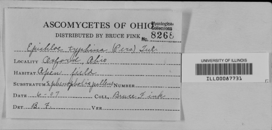 | unnamed | 1907 | Bruce Fink | |
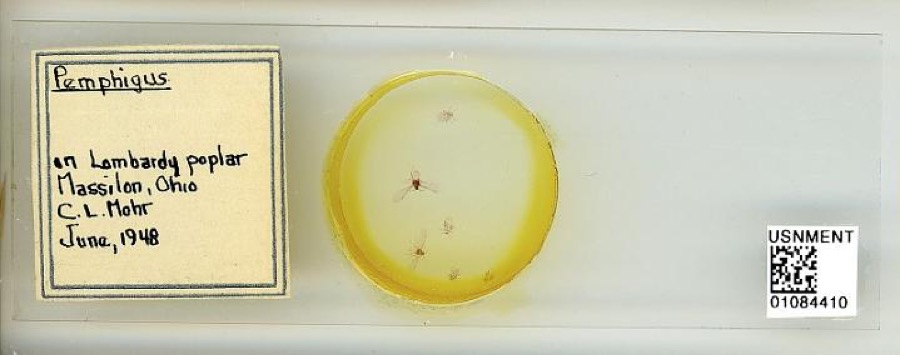 | Pemphigus Hartig, 1839 | 1948 | C. Mohr | Massillon |
 | Carex granularis Muhl. ex Willd. | 1836 | Collector unknown | Canton |
 | Carex intumescens Rudge | 1836 | Collector unknown | Canton |
 | Ectopistes migratorius (Linnaeus, 1766) | 1875 | not recorded | No specific locality recorded. |
 | Archilochus colubris (Linnaeus, 1758) | 1885 | Bulley, R. H | Canton |
 | Dumetella carolinensis (Linnaeus, 1766) | 1885 | Bulley, R. H | Canton |
 | Hylocichla mustelina (Gmelin, 1789) | 1885 | Bulley, R. H | Canton |
 | Icterus galbula (Linnaeus, 1758) | 1885 | not recorded | Canton |
 | Melospiza georgiana (Latham, 1790) | 1885 | Bulley, R. H | Canton |
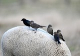 | Molothrus ater ater (Boddaert, 1783) | 1885 | Bulley, R. H | Canton |
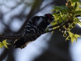 | Picoides pubescens medianus (Swainson, 1832) | 1885 | Bulley, R. H | Canton |
All 484 specimens within 10 miles, at the Global Biodiversity Information Facility.
Mines and quarries nearby
10 of 13 shownThe federal mineral resources record lists 13 workings within 5 miles of Lake Cable: 7 producers, 5 past producers, 1 plant. 8 still produce. What was taken out: Sand and Gravel, Construction, Iron. Distance is straight-line from the map coordinates, so a quarry counted here may appear on a neighbouring settlement's page as well.
| Where | Site | Commodity | Status | Recorded |
|---|---|---|---|---|
| Ohio Ferro-Alloys/ Canton, Ohio | Iron | Producer | ||
| Aj Diana Sons Inc Pit & Mill | Sand and Gravel, Construction | Plant | ||
| Beldon Sand and Gravel Pit | Sand and Gravel, Construction | Past Producer | Sedimentary | |
| Beldon Sand and Gravel Pit | Sand and Gravel, Construction | Past Producer | ||
| Central Allied Pit Number 2 | Sand and Gravel, Construction | Past Producer | Sedimentary | |
| Central Allied Pit Number 2 | Sand and Gravel, Construction | Producer | ||
| Diana Sand and Gravel Pit | Sand and Gravel, Construction | Past Producer | Sedimentary | |
| Greensburg Sand & Gravel Mine | Sand and Gravel, Construction | Producer | ||
| Heiser Sand and Gravel Pit | Sand and Gravel, Construction | Past Producer | Sedimentary | |
| Heiser Sand and Gravel Pit | Sand and Gravel, Construction | Producer |
Storms nearby
7 since 2002The National Weather Service names Lake Cable in 7 storm reports between 2002 and 2021: 3 thunderstorm wind, 2 hail, 2 flash flood. No death or injury is recorded in these reports. Each account below is quoted exactly as the forecast office filed it, from the NOAA Storm Events Database, and each date opens the federal record of that event.
| When | Event | Place named | Harm | What the report says |
|---|---|---|---|---|
| June 2021 | Flash Flood | Lake Cable | $500,000 | Approximately 30 to 40 cars were flooded in the parking lot of Belden Village Mall in North Canton. A business and car at the intersection of Whipple Ave. and Portage St. was flooded. Flooding was reported in the southern part of Price Park due to Zimber Ditch flooding out of its banks. The USGS streamgage just downstream of the park reported a crest of 10.18 ft. at 1830 EST, after rising above the 9.5 ft. minor flood stage at approximately 1415 EST. Farther upstream near the headwaters of Zimber Ditch, a car dealership was flooded, with 6 to 12 inches of flowing water in the parking lot up to the doors of the showroom. |
| June 2014 | Flash Flood | Lake Cable | $250,000 | The torrential rain in Canton washed out sections of roadway, flooded basements and forced raw sewage into some homes. No official observations were taken in the City, however a gauge nearby at Lake Milton measured 2.27 in 45 minutes between 445 PM and 530 PM. An unofficial observer in Canton measured 4.2 inches of water in 90 minutes. Numerous road closures and auto rescues were necessary between 5 and 6 PM that evening during peak commuter traffic. |
| June 2002 | Thunderstorm Wind | Lake Cable | $150,000 | Thunderstorm winds downed 30 to 40 trees and severely damaged two homes. |
| October 2013 | Thunderstorm Wind | Lake Cable | $1,500 | Massilon Police Department reported a tree down in Jackson Township. |
| July 2019 | Thunderstorm Wind | Lake Cable | - | A trained spotter estimated wind gusts up to 60 mph and pea size hail was reported. |
| July 2008 | Hail | Lake Cable | - | Quarter size hail was observed. |
| June 2006 | Hail | Lake Cable | - | Penny size hail was observed in Jackson Township. |
Nearest settlements
The eight closest, with where each one stands in the county. Distances are straight-line, computed from the Geographic Names Information System coordinates.
| Map | Place | Distance | Sheets |
|---|---|---|---|
| Lake Slagle | 1.3 miles | 17 | |
| Orchard Acres | 1.7 miles | 17 | |
| Marchand (historical) | 1.8 miles | 17 | |
| Monterey Heights | 1.9 miles | 17 | |
| Sweetbriar | 2.1 miles | 17 | |
| Hills and Dales | 2.1 miles | 17 | |
| McDonaldsville | 2.5 miles | 17 | |
| North Canton | 2.7 miles | 17 |
Elsewhere
Matched on this settlement's Geographic Names Information System number rather than its name, so it cannot be a different place of the same name in another state.
| Wikidata item Q122559622 | The structured record the population and elevation above come from. Public domain (CC0). |
Provenance
This settlement is recorded in the Geographic Names Information System as feature 1048894. The sheet list is computed by point-in-boundary test against the United States Geological Survey's historical topographic inventory. Both are works of the United States government and carry no copyright under 17 U.S.C. 105.
Wildfire. Short, Karen C. 2022. Spatial wildfire occurrence data for the United States, 1992-2020 [FPA_FOD_20221014]. 6th Edition. Fort Collins, CO: Forest Service Research Data Archive. https://doi.org/10.2737/RDS-2013-0009.6 Collected with United States Government funding and usable without additional permissions or fees.
Specimens. Global Biodiversity Information Facility (GBIF), https://www.gbif.org/. Only records licensed CC0 or CC BY are used. Records licensed CC BY-NC are excluded because this site carries advertising. Images are checked individually and any whose licence is non-commercial, no-derivatives or unreadable is refused.
Mines and quarries. USGS Mineral Resources Data System (MRDS) https://mrdata.usgs.gov/mrds/ A work of the United States government, no copyright under 17 U.S.C. 105.
Storms. NOAA National Centers for Environmental Information, Storm Events Database https://www.ncei.noaa.gov/stormevents/ A work of the United States government, no copyright under 17 U.S.C. 105. Narratives are quoted verbatim from the National Weather Service report and are not edited or summarised.