 Block
Block
Lexington, Ohio
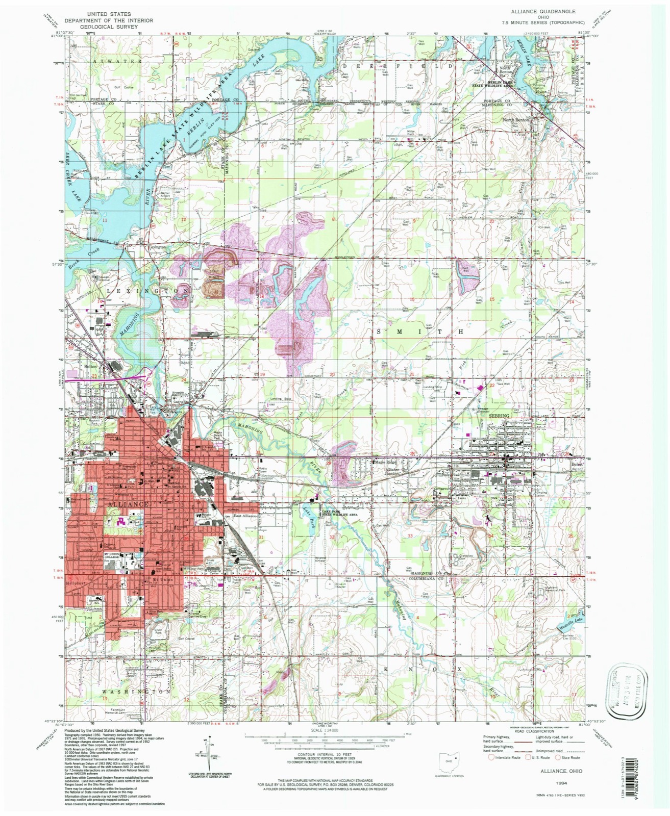
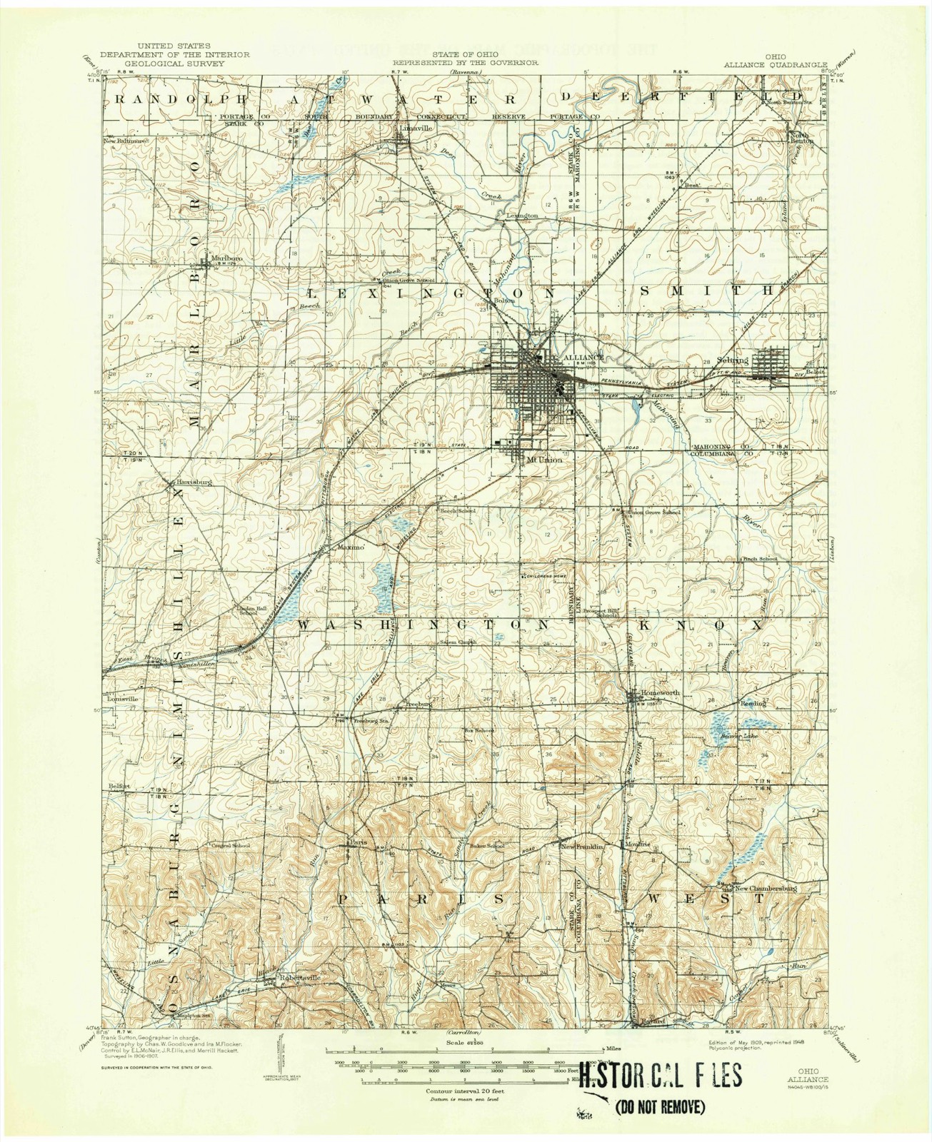
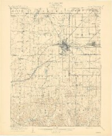
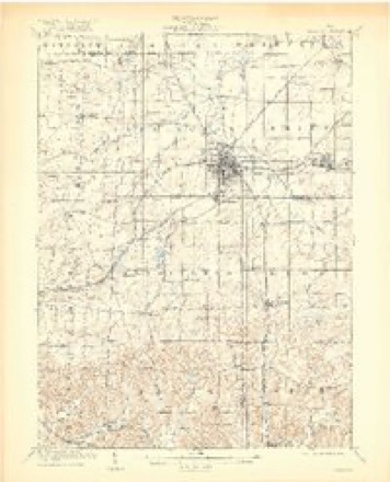
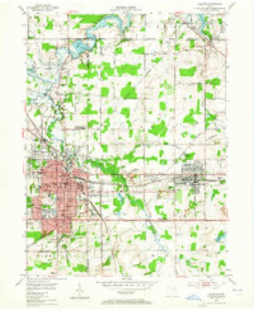
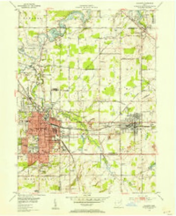
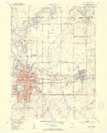
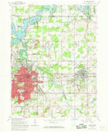
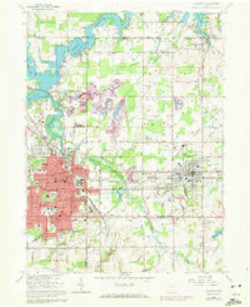
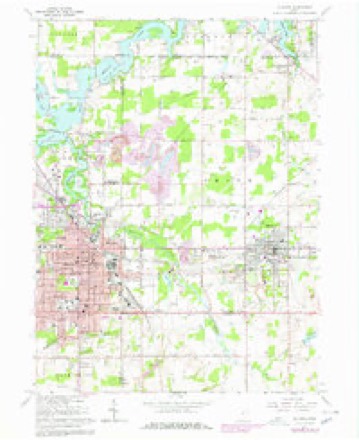
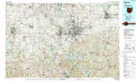
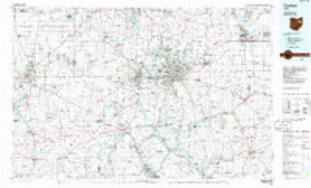
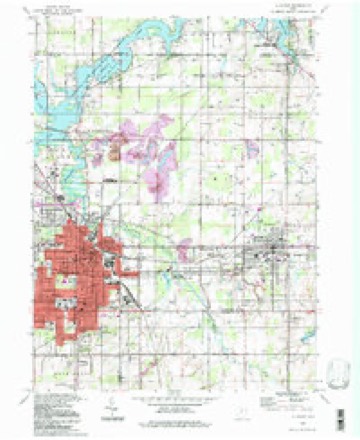
20 topographic sheets cover this place, the earliest surveyed in 1909 and the latest in 1994. It stands in Lexington Township. It lies in ZIP code area 44601. It stands on Beech Creek. The Survey maps it on the Alliance quadrangle.
Then and now
1909 to 1994The same ground, surveyed 85 years apart. Drag the handle to wipe between them. Both sheets are United States Geological Survey originals; neither has been altered.
Topographic sheets covering this place
20 sheetsMatched by testing this settlement's coordinate against the published boundary of every sheet in the United States Geological Survey's historical collection. Each opens the scanned sheet at the Survey.
- 1909 USGS Alliance quadrangle1:62500
- 1909 USGS Alliance quadrangle1:62500
- 1909 USGS Alliance quadrangle1:62500
- 1909 USGS Alliance quadrangle1:62500
- 1951 USGS Canton quadrangle1:250000
- 1952 USGS Alliance quadrangle1:24000
- 1952 USGS Alliance quadrangle1:24000
- 1952 USGS Alliance quadrangle1:24000
- 1953 USGS Canton quadrangle1:250000
- 1957 USGS Canton quadrangle1:250000
- 1957 USGS Canton quadrangle1:250000
- 1957 USGS Canton quadrangle1:250000
- 1962 USGS Canton quadrangle1:250000
- 1962 USGS Canton quadrangle1:250000
- 1966 USGS Alliance quadrangle1:24000
- 1966 USGS Alliance quadrangle1:24000
- 1966 USGS Alliance quadrangle1:24000
- 1986 USGS Canton quadrangle1:100000
- 1986 USGS Canton quadrangle1:100000
- 1994 USGS Alliance quadrangle1:24000







In the county-history sources
1,785 words on this townshipCombination Atlas Map of Stark County, Ohio, Compiled, Drawn and Published from Personal Examinations and Surveys, published 1875 names this settlement in its chapter on Lexington Township. These are the passages that mention it, exactly as the scans read.
In early days, Ihe 'Mahoning was a grand stream, now dwindled lo a rivulet. Tbo pioneers considered it navigable, and thought it would be a future highway of commerce, hence Lexington in 1805. Tho river coiers tbo township ou the southern third of its eastern border, winds in a circuitous direction, and passes out nt its northeastern corner.
Passage source: Combination Atlas Map of Stark County, Ohio, Compiled, Drawn and Published from Personal Examinations and Surveys, published 1875.
Tho first house in Lexington distinguished by & shingle roof was builtin 1808, by A. HoHowny. Herein Gideon Hughes opened tho first store, and, not suceecding, was tho first mercantile failure. Tho house then became of use for tho first I religious meetings, by the Friends, and when not so used was slill further utilized as the first seat of learning, witn Daniel Votaw aa ita first pedagogue, who'o services wero secured by subscription among the Friends. The first itnprovomcnt cast of Alliance was on Mercer Clearing, situated at the junction of County line and Mt. Union roads.
Passage source: Combination Atlas Map of Stark County, Ohio, Compiled, Drawn and Published from Personal Examinations and Surveys, published 1875.
The only house or cabin, in 1318, between Salem and the present site of Alliance, stood half o mile west of Damascus, and was built by Sir. Morris. Charles Hamlin and others wont down to the mouth of Little Reaver to get wheat fiourcd. Corn was floated down tbo Ohio in barges, and sold to tbo settlers until ilicir clearings yielded a sufficiency. It oceupiod three days to lake two bushels of corn to bo ground, carrying it on horseback. Tbo first grist-mill in the township was on the river south of Lexington. It was built by Aarou Stratton ; a saw-mill was built in connection with it. Here Amos Hallowny lost a son by tho falling of a beam upon him. The next mill was built by Byron Elliot, on Doer Creek, one mile west of the village of Limavillc, and is still in use. Saw-mitis are necessities of early days, and transitory in existence. Rolla Day built the first iu Lexington Townahip, on the Mahoning. Prior to 1840, ton to twelve had been built, and none since. Steam mills havo supplanted the water mills, but tho limber has become scarce and is small. George Stroup erected one in 1857, at Alliance.
Passage source: Combination Atlas Map of Stark County, Ohio, Compiled, Drawn and Published from Personal Examinations and Surveys, published 1875.
Machine-read from a century-old scan, so expect the errors a machine makes: misspelled names, dropped words, stray characters.
Read the whole chapter on Lexington Township - it names this place 5 more 5 times.
Specimens collected near this place
12 of 75 shownRegional context, not property-specific evidence. Museums hold 75 specimens collected within 10 miles of Lexington between 1890 and 1975: 71 Animalia, 2 Fungi, 2 Plantae. 12 distinct Species records are shown. Collected by Armbruster, D. C. (Daniel C.), Bryan, J. M., Collector(s): William D. Stull and others. Each is a physical object with a catalogue number, and each entry opens the museum's record. This is what was collected and kept, not a survey of what lives here - nothing can be concluded from a species being absent.
| Image | Species | Year | Collected by | Where, as recorded |
|---|---|---|---|---|
 | Agelaius phoeniceus phoeniceus (Linnaeus, 1766) | 1890 | Paul Morris | Alliance, near |
 | Amblema plicata (Say, 1817) | 1893 | Sterki, Victor | Alliance |
 | Picoides pubescens medianus (Swainson, 1832) | 1903 | not recorded | New Baltimore |
 | Passerina ciris (Linnaeus, 1758) | 1905 | F. A. W. Dean | Alliance |
 | Etheostoma variatum Kirtland, 1840 | 1930 | Trautman, M. B. (Milton Bernard) & Foster, R. (Robert) | Mahoning River tributary, within north central Concord township, near Limaville, Lexington township |
| Eupelmidae | 1934 | VL Wildermuth | Alliance | |
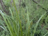 | Carex alopecoidea Tuck. | 1937 | R. E. Shanks | Atwater, Ohio. |
 | Ambloplites rupestris (Rafinesque, 1817) | 1941 | Trautman, M. B. (Milton Bernard) & Scott | Deer Creek, 0.25 mi west of Limaville, ~0.3 mi W of Limaville, Lexington township |
 | Ameiurus melas melas (Rafinesque, 1820) | 1941 | Trautman, M. B. (Milton Bernard) & Scott | Deer Creek, 0.25 mi west of Limaville, ~0.3 mi W of Limaville, Lexington township |
 | Campostoma anomalum anomalum | 1941 | Trautman, M. B. (Milton Bernard) & Scott | Deer Creek, 0.25 mi west of Limaville, ~0.3 mi W of Limaville, Lexington township |
 | Catostomus commersonii (Lacepède, 1803) | 1941 | Trautman, M. B. (Milton Bernard) & Scott | Deer Creek, 0.25 mi west of Limaville, ~0.3 mi W of Limaville, Lexington township |
 | Ericymba buccata Cope, 1865 | 1941 | Trautman, M. B. (Milton Bernard) & Scott | Deer Creek, 0.25 mi west of Limaville, ~0.3 mi W of Limaville, Lexington township |
All 75 specimens within 10 miles, at the Global Biodiversity Information Facility.
Mines and quarries near this place
3 within 5 milesRegional context, not property-specific evidence. The federal mineral resources record lists 3 workings within 5 miles of Lexington: 2 past producers, 1 producer. 1 still produces. What was taken out: Clay, Sand and Gravel, Construction, Coal. Distance is straight-line from the map coordinates, so a quarry counted here may appear on a neighbouring settlement's page as well.
| Where | Site | Commodity | Status | Recorded |
|---|---|---|---|---|
| J & R Pit | Clay, Sand and Gravel, Construction, Coal | Producer | ||
| Alliance Brick Corp. Pit Number 2 | Clay | Past Producer | Sedimentary | |
| Alliance Brick Corp. Pit Number 2 | Clay | Past Producer |
Storms near this place
2 since 2003Regional context, not property-specific evidence. The National Weather Service names Lexington in 2 storm reports between 2003 and 2004: 1 tornado, 1 thunderstorm wind. No death or injury is recorded in these reports. Each account below is quoted exactly as the forecast office filed it, from the NOAA Storm Events Database, and each date opens the federal record of that event.
| When | Event | Place named | Harm | What the report says |
|---|---|---|---|---|
| November 2003 | Tornado (F1) | Lexington | $250,000 | A small F1 tornado touched down in rural Lexington Township just north of State Route 619 and just to the west of Freshley Road. Over 75 trees were snapped on a property near the initial touchdown. The tornado traveled east for around three and a half miles before dissipating just east of Webb Road. Most of the damage path was through wooded areas. Four homes sustained minor damage and a garage was leveled as the tornado crossed State Route 225. Hundreds of trees were downed along the damage path which was up to 50 yards in width at times. |
| June 2004 | Thunderstorm Wind | Lexington | $15,000 | Thunderstorm winds downed several trees in Lexington Township. |
Nearest settlements
The eight closest, with where each one stands in the county. Distances are straight-line, computed from the Geographic Names Information System coordinates.
| Map | Place | Distance | Sheets |
|---|---|---|---|
| New Guinea (historical) | 1.2 miles | 20 | |
| Bolton | 1.6 miles | 20 | |
| Williamsport | 2.0 miles | 20 | |
| Limaville | 2.7 miles | 18 | |
| Alliance | 3.2 miles | 20 | |
| Mount Union | 4.2 miles | 20 | |
| Hillcrest | 4.5 miles | 20 | |
| Beechwood | 5.1 miles | 18 |
Provenance
This settlement is recorded in the Geographic Names Information System as feature 1048912. The sheet list is computed by point-in-boundary test against the United States Geological Survey's historical topographic inventory. Both are works of the United States government and carry no copyright under 17 U.S.C. 105.
Specimens. Global Biodiversity Information Facility (GBIF), https://www.gbif.org/. Only records licensed CC0 or CC BY are used. Records licensed CC BY-NC are excluded because this site carries advertising. Images are checked individually and any whose licence is non-commercial, no-derivatives or unreadable is refused.
Mines and quarries. USGS Mineral Resources Data System (MRDS) https://mrdata.usgs.gov/mrds/ A work of the United States government, no copyright under 17 U.S.C. 105.
Storms. NOAA National Centers for Environmental Information, Storm Events Database https://www.ncei.noaa.gov/stormevents/ A work of the United States government, no copyright under 17 U.S.C. 105. Narratives are quoted verbatim from the National Weather Service report and are not edited or summarised.