 Block
Block
Maple, Ohio
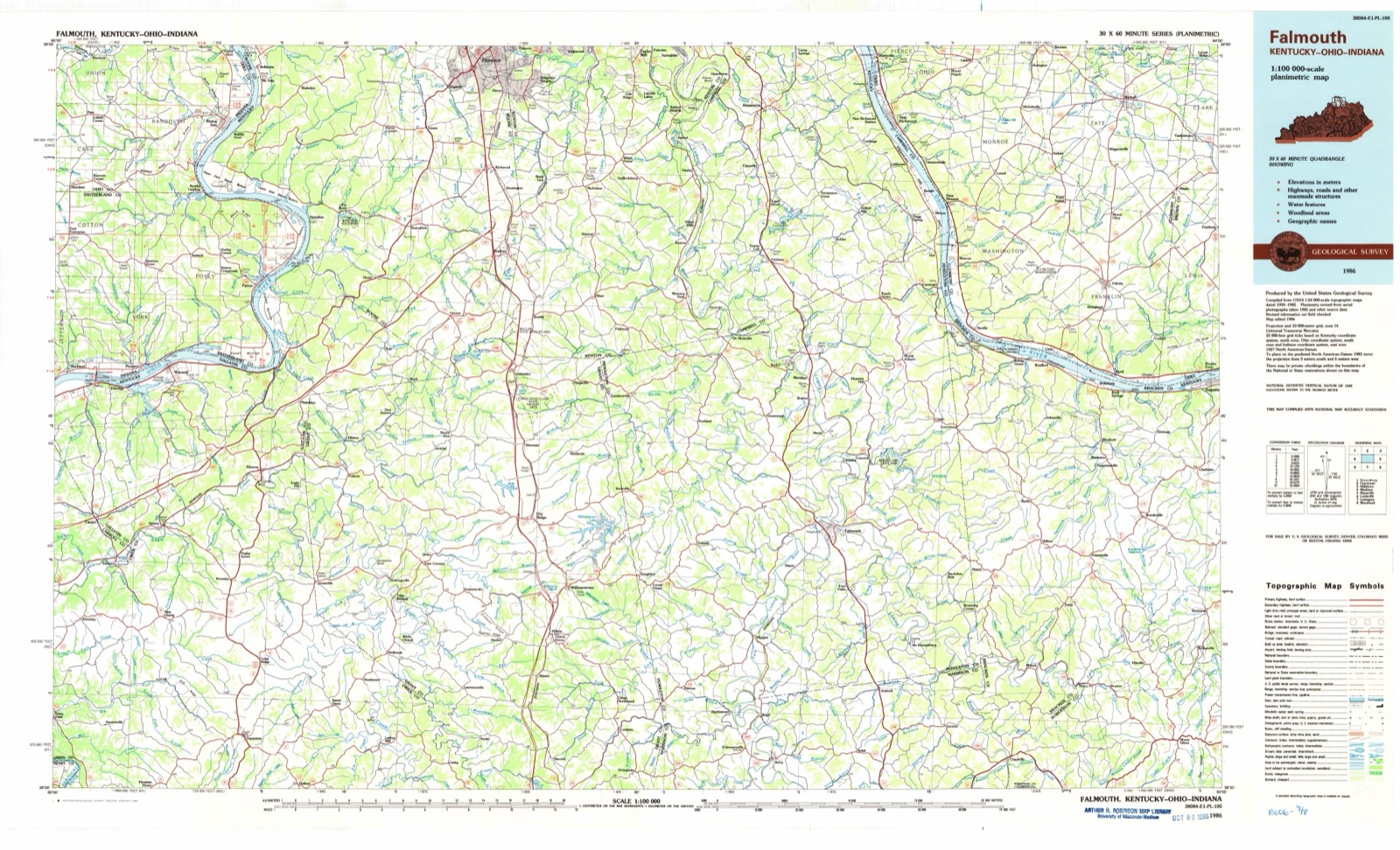
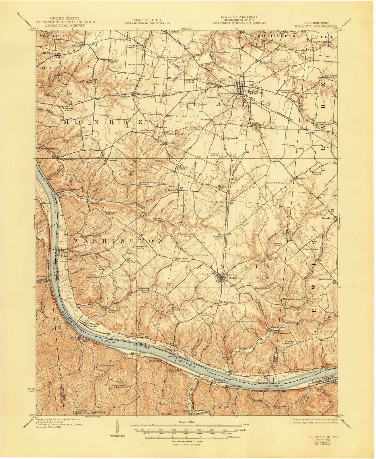
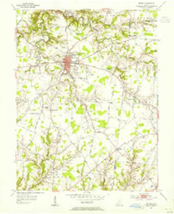
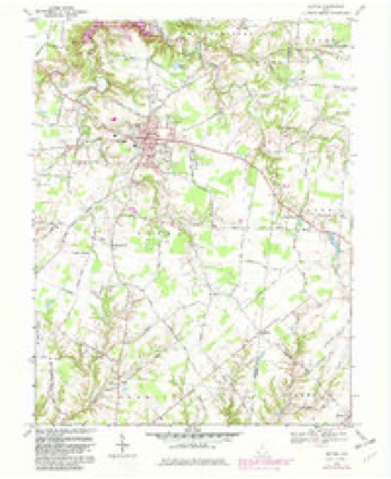
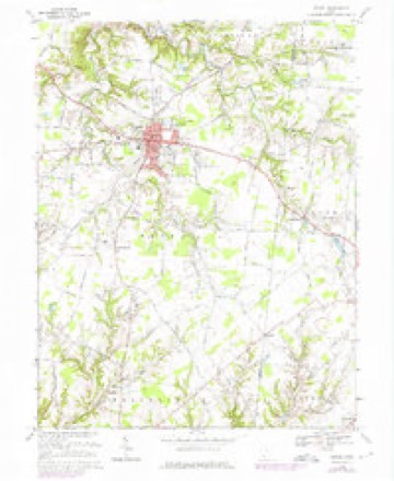
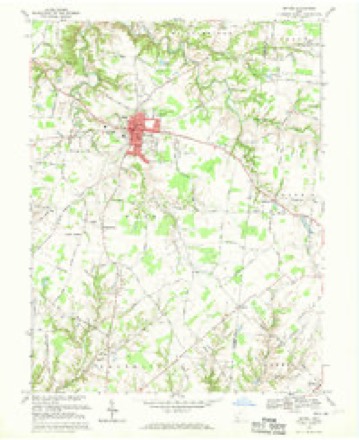
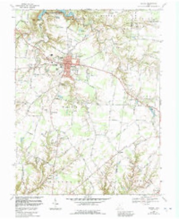
12 topographic sheets cover this place, the earliest surveyed in 1931 and the latest in 1986. It stands in Clark Township. It lies in ZIP code area 45130. The Survey maps it on the Bethel quadrangle.
Then and now
1931 to 1986The same ground, surveyed 55 years apart. Drag the handle to wipe between them. Both sheets are United States Geological Survey originals; neither has been altered.
Topographic sheets covering this place
12 sheetsMatched by testing this settlement's coordinate against the published boundary of every sheet in the United States Geological Survey's historical collection. Each opens the scanned sheet at the Survey.
- 1931 USGS Felicity quadrangle1:62500
- 1931 USGS Felicity quadrangle1:62500
- 1953 USGS Bethel quadrangle1:24000
- 1956 USGS Louisville quadrangle1:250000
- 1956 USGS Louisville quadrangle1:250000
- 1964 USGS Louisville quadrangle1:250000
- 1968 USGS Bethel quadrangle1:24000
- 1968 USGS Bethel quadrangle1:24000
- 1968 USGS Bethel quadrangle1:24000
- 1968 USGS Bethel quadrangle1:24000
- 1986 USGS Falmouth quadrangle1:100000
- 1986 USGS Falmouth quadrangle1:100000
Specimens collected nearby
12 of 317 shownMuseums hold 317 specimens collected within 10 miles of Maple between 1886 and 1974: 242 Animalia, 66 Fungi, 9 Plantae. 12 distinct Species records are shown. Collected by A JOHN, A. Braun, Berry M. D.? and others. Each is a physical object with a catalogue number, and each entry opens the museum's record. This is what was collected and kept, not a survey of what lives here - nothing can be concluded from a species being absent.
| Image | Species | Year | Collected by | Where, as recorded |
|---|---|---|---|---|
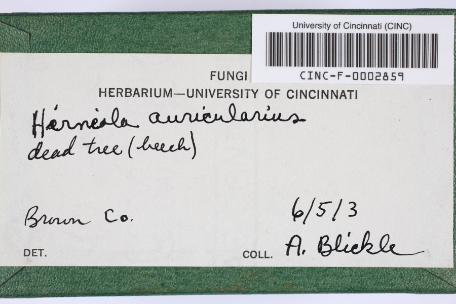 | Hirneola auricularis (Gray) Donk | 1903 | Blickle, A.H. | Brown County, Ohio |
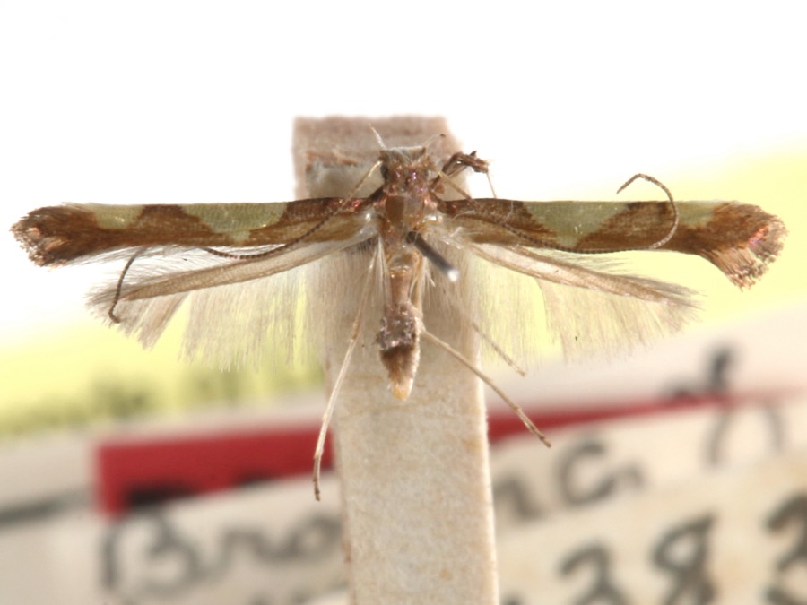 | Caloptilia speciosella (Braun, 1939) | 1929 | A. Braun | [Not Stated] |
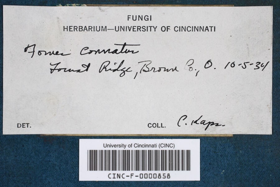 | Fomes conchatus (Pers.) Gillet | 1934 | Kaps, C. | Locust Ridge |
| Chordata | 1886 | Smithsonian Institution | ||
 | Panus stipticus (Bull.) Fr. | 1903 | Lyon, C. D. | Higginsport |
 | Cylindrosporium padi P.Karst. | 1907 | Berry M. D.? | Georgetown |
 | Perenniporia robiniophila (Murrill) Ryvarden | 1909 | J. P. Tracy | |
| Secotium agaricoides (Czern.) Hollós | 1913 | Lyon C. D. | Georgetown | |
 | Ericymba buccata Cope, 1865 | 1928 | Trautman, M. B. (Milton Bernard) | White Oak Creek tributary, within Brown Co, Brown County, township n/a |
 | Etheostoma nigrum nigrum Rafinesque, 1820 | 1928 | Trautman, M. B. (Milton Bernard) | White Oak Creek tributary, within Brown Co, Brown County, township n/a |
| Hypnales | 1928 | Fulford, Margaret Hannah | road from Williamsburg to Bethel | |
 | Lepomis cyanellus Rafinesque, 1819 | 1928 | Trautman, M. B. (Milton Bernard) | White Oak Creek tributary, within Brown Co, Brown County, township n/a |
All 317 specimens within 10 miles, at the Global Biodiversity Information Facility.
Storms nearby
1 since 2012The National Weather Service names Maple in 1 storm report between 2012 and 2012: 1 tornado. No death or injury is recorded in these reports. Each account below is quoted exactly as the forecast office filed it, from the NOAA Storm Events Database, and each date opens the federal record of that event.
| When | Event | Place named | Harm | What the report says |
|---|---|---|---|---|
| March 2012 | Tornado (EF1) | Maple | $500,000 | The tornado initially touched down in south central Campbell County at 1639 EST near Peach Grove Road and crossed Fisher Road northwest of Peach Grove. The tornado then crossed into Pendleton County at 1641 EST after producing high end EF3 damage along Reid Ridge Road near the Campbell and Pendleton County line. The tornado then moved across Mays Road producing significant and widespread EF2 to low end EF3 damage. The tornado then crossed AA highway and eventually the Ohio River, after crossing Kentucky Highway 8. Based on the damage surveyed, the maximum wind speed of the tornado was estimated to be 160 miles per hour in Campbell County and 140 miles per hour in Pendleton County. The tornado traveled a total of 2.68 miles in Campbell County, and 4 miles in Pendleton County. The tornado then moved into Clermont County Ohio at 1646 EST, where it hit the town of Moscow, causing EF3 damage. The tornado continued on the ground across Clermont County, crossing into Brown County at 1658 EST. The tornado then lifted south of Hamersville in western Brown County at 1702 EST. This tornado caused extensive damage to structures and trees along its entire path on both sides of the Ohio River. Numerous homes were very heavily damaged or destroyed. Many homes lost their roofs, having complete exterior wall failure. Some modular homes were completely removed from their foundations, lifted, and thrown in excess of 100 yards where they were destroyed. The damage in Ohio from this tornado was consistent with maximum winds estimated at 160 miles per hour in Clermont County, and 100 miles per hour in Brown County. The tornado traveled a total of 11.04 miles in Clermont County, and 2.69 miles in Brown County. |
Nearest settlements
The eight closest, with where each one stands in the county. Distances are straight-line, computed from the Geographic Names Information System coordinates.
| Map | Place | Distance | Sheets |
|---|---|---|---|
| Feesburg | 2.6 miles | 10 | |
| Yankeetown | 2.6 miles | 12 | |
| Hamersville | 2.9 miles | 10 | |
| North Feesburg (historical) | 3.6 miles | 10 | |
| Neals Corner | 5.2 miles | 10 | |
| Sunshine (historical) | 5.8 miles | 10 | |
| White Oak Valley | 5.9 miles | 10 | |
| Locust Ridge | 6.3 miles | 12 |
Provenance
This settlement is recorded in the Geographic Names Information System as feature 1070835. The sheet list is computed by point-in-boundary test against the United States Geological Survey's historical topographic inventory. Both are works of the United States government and carry no copyright under 17 U.S.C. 105.
Specimens. Global Biodiversity Information Facility (GBIF), https://www.gbif.org/. Only records licensed CC0 or CC BY are used. Records licensed CC BY-NC are excluded because this site carries advertising. Images are checked individually and any whose licence is non-commercial, no-derivatives or unreadable is refused.
Storms. NOAA National Centers for Environmental Information, Storm Events Database https://www.ncei.noaa.gov/stormevents/ A work of the United States government, no copyright under 17 U.S.C. 105. Narratives are quoted verbatim from the National Weather Service report and are not edited or summarised.