 Block
Merrymount, Massachusetts
41 topographic sheets cover this place, the earliest surveyed in 1892 and the latest in 1997. It stands in Quincy City. It lies in ZIP code area 02169. It lies near Mount Wollaston. The Survey maps it on the Hull quadrangle.
Then and now
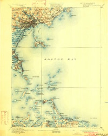
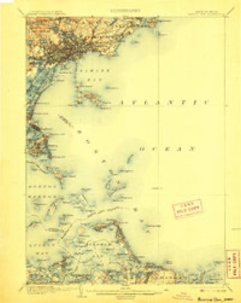
1892 to 1997The same ground, surveyed 105 years apart. Drag the handle to wipe between them. Both sheets are United States Geological Survey originals; neither has been altered.
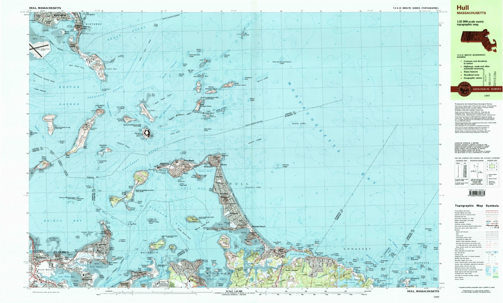
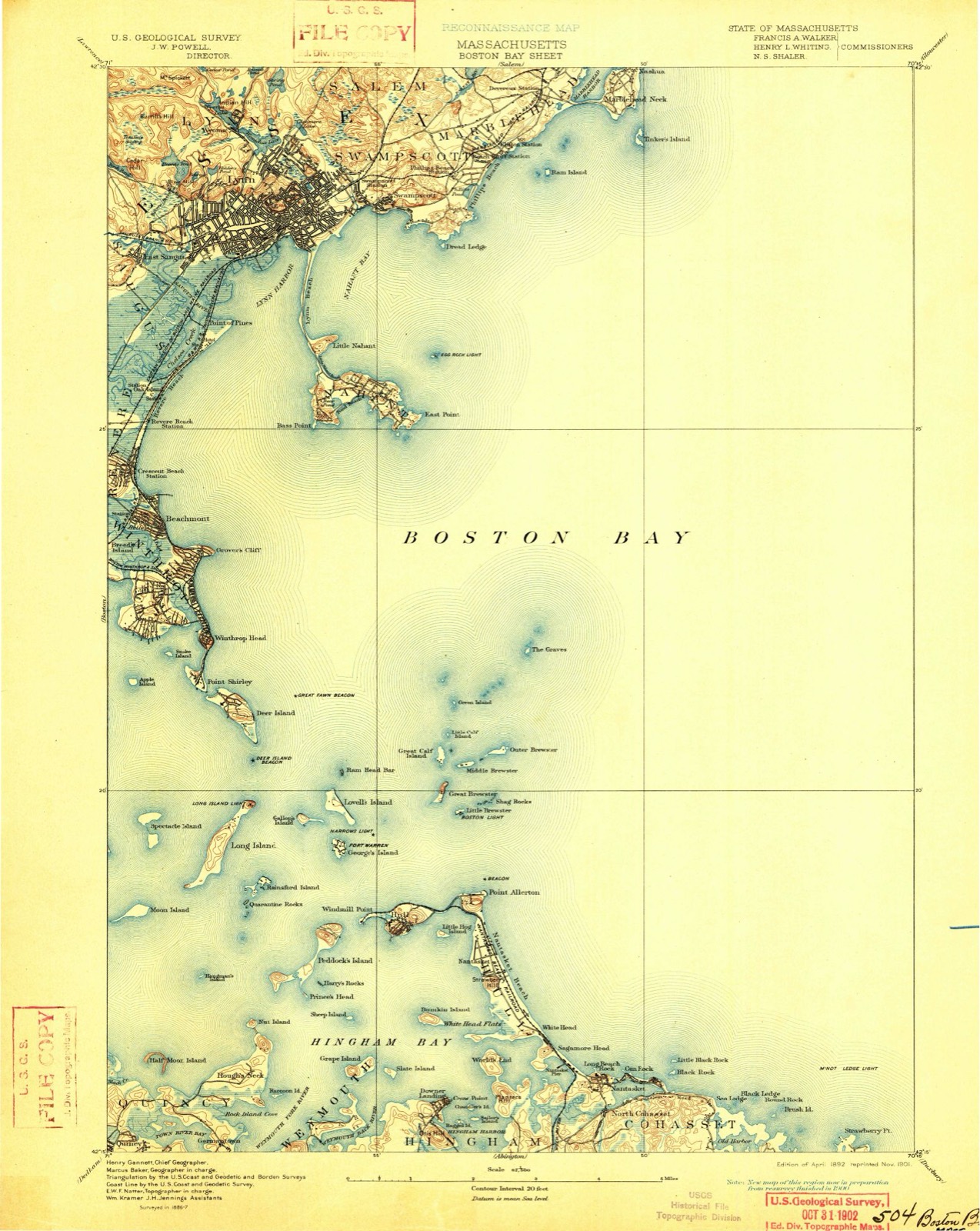
On record in Merrymount
Buildings and businesses the archive holds for this place. Each opens its own page, with the source record it came from.
On the National Register within a mile 12 of 39 shown
The National Register names another town for these. They stand within one mile of this settlement's coordinate.
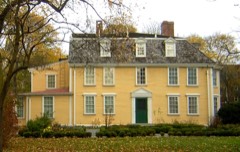 Quincy HomesteadNational Historic Landmark · listed 1970 · 0.7 miles away
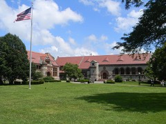 Thomas Crane Public LibraryNational Historic Landmark · listed 1972 · 0.8 miles away
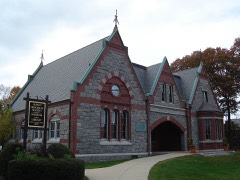 Adams AcademyNational Historic Landmark · listed 1974 · 0.8 miles away
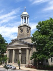 United First Parish Church (Unitarian) of QuincyNational Historic Landmark · listed 1970 · 0.9 miles away
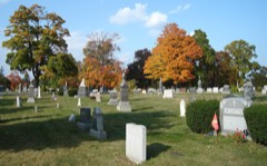 Mount Wollaston Cemeterylisted 1994 · 0.3 miles away
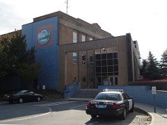 Quincy Police Stationlisted 1990 · 0.5 miles away
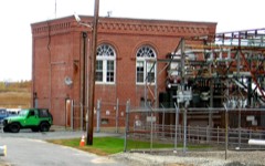 Quincy Electric Light and Power Company Stationlisted 1989 · 0.6 miles away
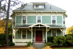 George A. Barker Houselisted 1989 · 0.6 miles away
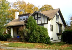 J. Martin Nowland Houselisted 1989 · 0.6 miles away
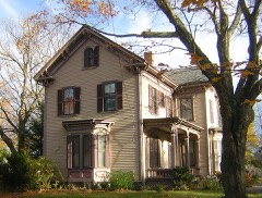 Henry F. Barker Houselisted 1989 · 0.6 miles away
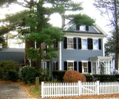 Newcomb Placelisted 1989 · 0.6 miles away
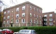 Dorothy Q Apartmentslisted 1989 · 0.7 miles away
Topographic sheets covering this place
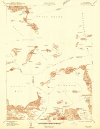
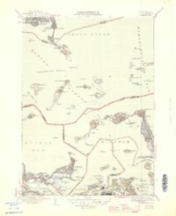
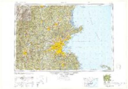
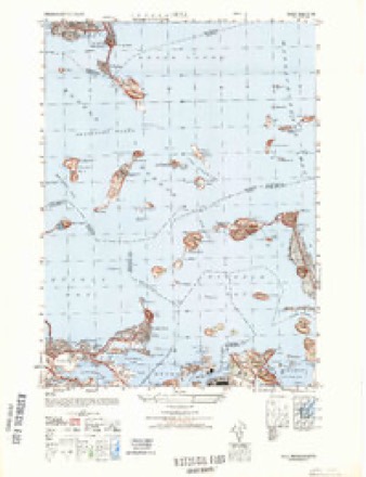
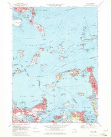
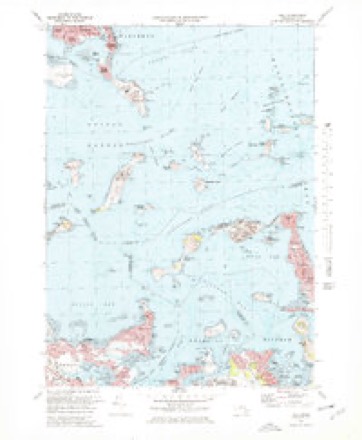
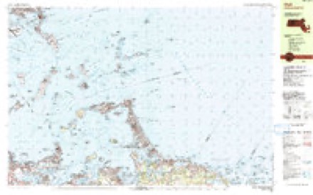
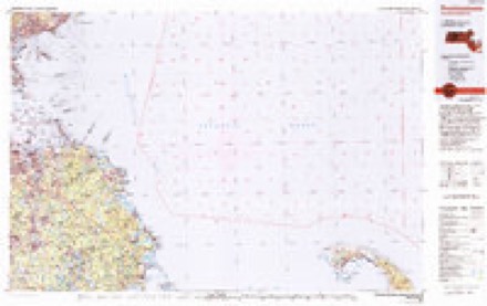
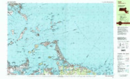
17 surveys from 41 printed sheetsMatched by testing this settlement's coordinate against the published boundary of every sheet in the United States Geological Survey's historical collection. Each opens the scanned sheet at the Survey.
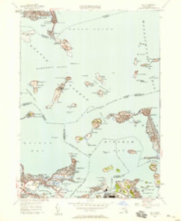
- 1892 USGS Boston Bay quadrangle1:62500, 4 printings
- 1903 USGS Boston Bay quadrangle1:62500, 9 printings
- 1944 USGS Hull quadrangle1:24000
- 1946 USGS Hull quadrangle1:31680, 4 printings
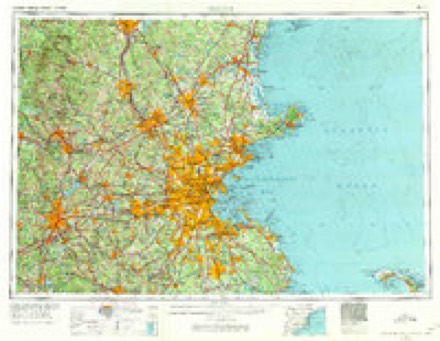
- 1948 USGS Boston quadrangle1:250000, 2 printings
- 1948 USGS Hull quadrangle1:25000
- 1949 USGS Hull quadrangle1:24000
- 1956 USGS Boston quadrangle1:250000, 6 printings
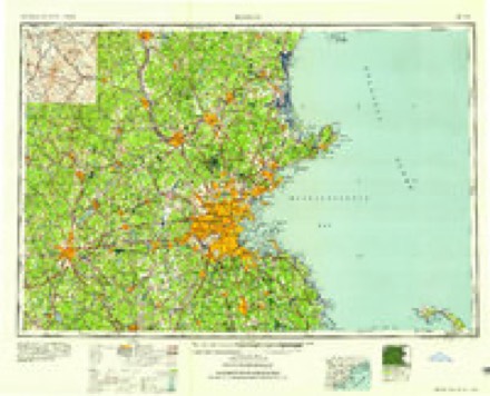
- 1958 USGS Boston quadrangle1:250000, 2 printings
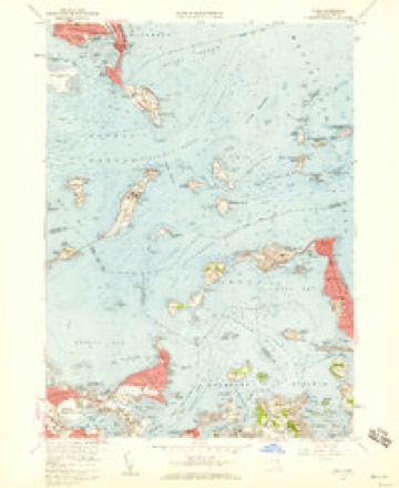
- 1958 USGS Hull quadrangle1:24000, 2 printings
- 1961 USGS Boston quadrangle1:250000, 2 printings
- 1971 USGS Hull quadrangle1:24000
- 1971 USGS Hull quadrangle1:25000
- 1977 USGS Hull quadrangle1:25000
- 1984 USGS Hull quadrangle1:25000
- 1984 USGS Provincetown quadrangle1:100000, 2 printings
- 1997 USGS Hull quadrangle1:25000
In the county-history sources
94,488 words on this townshipHistory of Norfolk County, Massachusetts, with Biographical Sketches of Many of Its Pioneers and Prominent Men, published 1884 names this settlement in its chapter on Quincy City. These are the passages that mention it, exactly as the scans read.
They reckoned without their host. To the whole coast from Plymouth up to Portsmouth, Merrymount became not only a nuisance, but a dangerous nuisance. Upon that coast there were not then many inhabited places; but there were a few. Plymouth was the most populous, and at Plymouth there may have been some two hundred souls in all, dwelling in two score houses encircled by a stockade half a mile in circumference. There was a smaller settlement at Weymouth, only a mile or so away from Merrymount, and scattered families lived at Thompson's Island, Shawmut, as the peninsula of Boston was ealled, and Charlestown and South Boston. There were a few more, traders chiefly, at Hull and upon Cape Ann, These people They were living And now Indians with guns in their hands were prowling through the woods. game only ; but it could not be long before they real- Behind the little settlements, ness, in regard to which the settlers knew nothing. The Massachusetts Indians were a weak, broken remnant ; but who knew what other tribes occupied the interior; nor could any one divine the conspiracies which might there be forming, ready to burst when least expected. The situation was alarming enough at best; the sense of the vast unknown doubtless made it more so, and Morton's proceedings were fast ren- The instinct of self-preservation whispered that something must be done, and that
Passage source: History of Norfolk County, Massachusetts, with Biographical Sketches of Many of Its Pioneers and Prominent Men, published 1884.
The place was not wholly de- Among the worst who went elsewhere was, probably, Walter Bagnall, who about this time took up his permanent abode on Richmond Island. He was commonly known as 'Great Walt," and seems to have been a rude frontier trader of the most worthless sort. He carried the Merrymount methods with him to his new home, where he prospered greatly, getting together what was for those days considerable possessions in money and goods; until at last, in October, 1631, the Indians set upon him and killed him.' The only other follower of Morton of whom there is any record was Edward Gibbons, apparently one of the more modest who kept the house. Ata later day Gibbons was a prominent member of the Massachusetts community, rising to the high rank of majorgeneral ; and in 1649 he succeeded Governor Endicott - in command of the military forces of the colony. But Gibbons' later career was not particularly associated with the town of Braintree. Shortly after the hewing down of the maypole he went over to Salem, where, listening to the preaching of the Rev. Francis Higginson, he underwent a change of heart and became a member of the church. But still the original Merrymount spirit from time to time showed itself
Passage source: History of Norfolk County, Massachusetts, with Biographical Sketches of Many of Its Pioneers and Prominent Men, published 1884.
Tuus in November, 1637, the little settlement at the Mount, as it was still called, was once more thor- The place seemed to be under a sort of blight. First the magistrates had rooted out Morton and the Merrymount company, obliterating in so far as they could every trace of the earliest settlement; and now they had also sent into exile a pastor and his parishioners, who had not a thing in any one of note or substance, except Wheelwright, had yet actually made his home in this region. Quiney and Hough, like Coddington and Wilson, lived in Boston ; and in Boston the Mount was looked upon as a remote, outlying dependency, to be reached
Passage source: History of Norfolk County, Massachusetts, with Biographical Sketches of Many of Its Pioneers and Prominent Men, published 1884.
Machine-read from a century-old scan, so expect the errors a machine makes: misspelled names, dropped words, stray characters.
Read the whole chapter on Quincy City - it names this place 5 more 5 times.
Fires near this place
270 since 2015Regional context, not property-specific evidence. The federal wildfire occurrence database lists 270 fires within 5 miles of Merrymount between 2015 and 2020, burning about 121 acres in total. None started naturally. None was recorded as arson. Distance is straight-line from the map coordinates, so a fire counted here may appear on a neighbouring settlement's page as well.
| Reported cause | Fires |
|---|---|
| Recreation and ceremony | 174 |
| Smoking | 39 |
| Missing data/not specified/undetermined | 26 |
| Debris and open burning | 25 |
| Misuse of fire by a minor | 3 |
| Fireworks | 2 |
| Equipment and vehicle use | 1 |
The most recent of them, most recent first, with the day each was reported and the service that recorded it.
| Date | Cause | Size | Reported by | Name on the report |
|---|---|---|---|---|
| 7 September 2015 | Recreation and ceremony | under an acre | Massachusetts Bureau of Forest Fire Control | WEYMOUTH |
| 7 September 2015 | Recreation and ceremony | under an acre | Massachusetts Bureau of Forest Fire Control | BRAINTREE |
| 7 September 2015 | Recreation and ceremony | under an acre | Massachusetts Bureau of Forest Fire Control | BRAINTREE |
| 5 September 2016 | Smoking | under an acre | Massachusetts Bureau of Forest Fire Control | QUINCY |
| 5 September 2015 | Recreation and ceremony | 2.0 acres | Massachusetts Bureau of Forest Fire Control | WEYMOUTH |
| 29 September 2015 | Recreation and ceremony | under an acre | Massachusetts Bureau of Forest Fire Control | WEYMOUTH |
| 28 September 2015 | Recreation and ceremony | under an acre | Massachusetts Bureau of Forest Fire Control | BRAINTREE |
| 23 September 2019 | Missing data/not specified/undetermined | under an acre | Massachusetts Bureau of Forest Fire Control | not named |
Settlements close enough to share some of these fires:
Specimens collected near this place
12 of 11,796 shownRegional context, not property-specific evidence. Museums hold 11,796 specimens collected within 10 miles of Merrymount between 1810 and 1975: 5,771 Plantae, 2,746 Animalia, 2,595 Fungi, 411 Chromista, 182 Protozoa, 59 Unrecorded, 32 Bacteria. 12 distinct Species records are shown. Collected by (MARSDEN, H W), ?, A C Gibson and others. Each is a physical object with a catalogue number, and each entry opens the museum's record. This is what was collected and kept, not a survey of what lives here - nothing can be concluded from a species being absent.
| Image | Species | Year | Collected by | Where, as recorded |
|---|---|---|---|---|
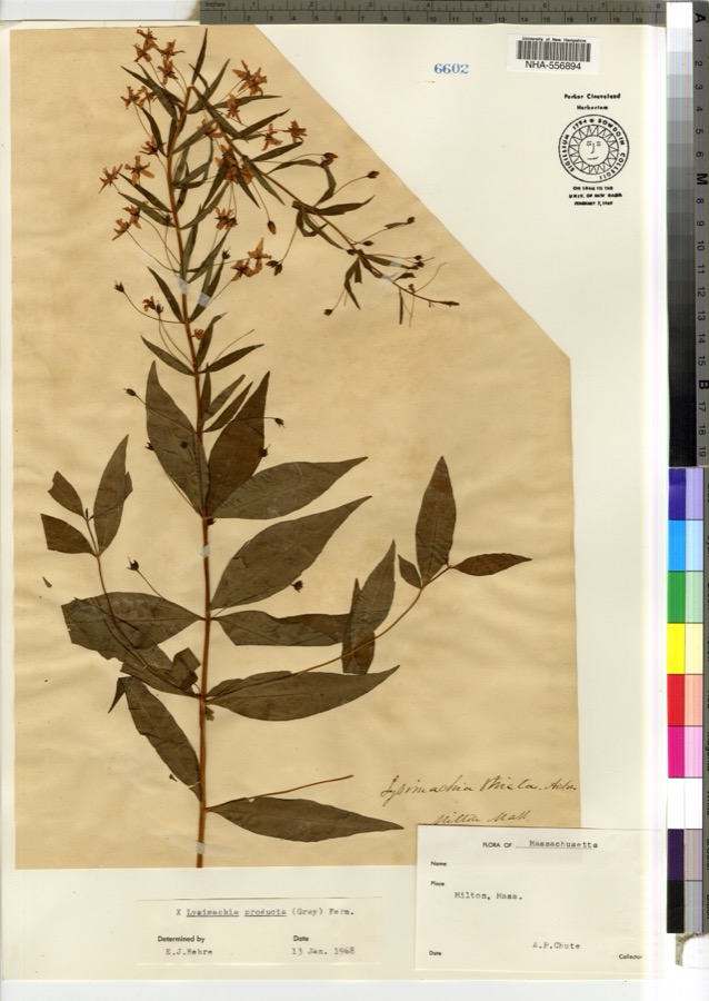 | Lysimachia × producta (A.Gray) Fernald | 1900 | A. P. Chute | |
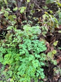 | Thalictrum L. | 1810 | Boott, J.W. | Near Boston. |
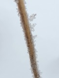 | Anemone L. | 1815 | Boott, J. | Andover Turnpike, 7 miles from Boston. |
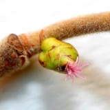 | Corylus L. | 1815 | not recorded | Cambridge Port, 2 miles from Boston. |
| Ericaceae | 1815 | Boott | Boston, U.S.A. | |
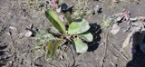 | Limonium vulgare Mill. | 1815 | not recorded | On Cragies Road [=near Cragies Bridge], 1 1/2 miles from Boston. |
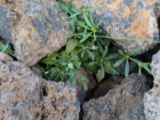 | Mollugo verticillata L. | 1815 | Boott, F.M.B. | Boston. |
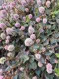 | Persicaria (L.) Mill. | 1815 | Boott, J.W. | Craigie's Road, 2 miles from Boston. |
 | Populus L. | 1815 | not recorded | Cambridgeport, 1 mile from Boston. |
 | Ranunculus L. | 1815 | not recorded | Thicket at South Boston. |
 | Salix L. | 1815 | not recorded | Cambridge, 3 1/2 miles from Boston. |
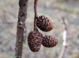 | Alnus Mill. | 1816 | not recorded | Brighton, 4 miles from Boston. |
All 11,796 specimens within 10 miles, at the Global Biodiversity Information Facility.
Mines and quarries near this place
5 within 5 milesRegional context, not property-specific evidence. The federal mineral resources record lists 5 workings within 5 miles of Merrymount: 3 producers, 2 past producers. 3 still produce. What was taken out: Sand and Gravel, Construction, Granite, Stone, Crushed/Broken. Distance is straight-line from the map coordinates, so a quarry counted here may appear on a neighbouring settlement's page as well.
| Where | Site | Commodity | Status | Recorded |
|---|---|---|---|---|
| Old Colony Crushed Stone | Granite | Past Producer | Granite | |
| Old Colony Quarry | Stone, Crushed/Broken | Producer | ||
| Braintree Plant | Sand and Gravel, Construction | Producer | ||
| Liberty Pit | Sand and Gravel, Construction | Producer | ||
| Town of Weymouth | Sand and Gravel, Construction | Past Producer | Sedimentary |
Nearest settlements
The eight closest, with where each one stands in the county. Distances are straight-line, computed from the Geographic Names Information System coordinates.
| Map | Place | Distance | Sheets |
|---|---|---|---|
| Adams Shore | 0.6 miles | 41 | |
| Quincy | 0.8 miles | 46 | |
| Post Island | 1.1 miles | 41 | |
| Quincy Point | 1.3 miles | 38 | |
| Quincy Center | 1.3 miles | 42 | |
| Wollaston | 1.4 miles | 46 | |
| Norfolk Downs | 1.5 miles | 46 | |
| North Commons | 1.5 miles | 42 |
Provenance
This settlement is recorded in the Geographic Names Information System as feature 619324. The sheet list is computed by point-in-boundary test against the United States Geological Survey's historical topographic inventory. Both are works of the United States government and carry no copyright under 17 U.S.C. 105.
Wildfire. Short, Karen C. 2022. Spatial wildfire occurrence data for the United States, 1992-2020 [FPA_FOD_20221014]. 6th Edition. Fort Collins, CO: Forest Service Research Data Archive. https://doi.org/10.2737/RDS-2013-0009.6 Collected with United States Government funding and usable without additional permissions or fees.
Specimens. Global Biodiversity Information Facility (GBIF), https://www.gbif.org/. Only records licensed CC0 or CC BY are used. Records licensed CC BY-NC are excluded because this site carries advertising. Images are checked individually and any whose licence is non-commercial, no-derivatives or unreadable is refused.
Mines and quarries. USGS Mineral Resources Data System (MRDS) https://mrdata.usgs.gov/mrds/ A work of the United States government, no copyright under 17 U.S.C. 105.