 Block
Block
Montgomery, Ohio
19 topographic sheets cover this place, the earliest surveyed in 1898 and the latest in 1996. It stands in Montgomery City. It lies in ZIP code area 45242. It stands on North Branch Sycamore Creek. The Survey maps it on the Madeira quadrangle. 10,853 people lived here at the 2020 count. It stands 801 feet above sea level.
Population over time
2 figuresMontgomery grew from 10,251 to 10,853 between 2010 and 2020. These are the recorded population figures Wikidata holds for this place, reached through the Geographic Names Information System number this page is keyed on rather than by name, so they belong to this place and not to another of the same name. Most are census counts, but not all are: an early figure may be a founding or settlement estimate. The change column is computed, and is left blank where more than 20 years separate a figure from the one before it, because a gap that long is not a change between two counts.
| Year | People | Change |
|---|---|---|
| 2010 | 10,251 | |
| 2020 | 10,853 | +602 (+6%) |
Then and now
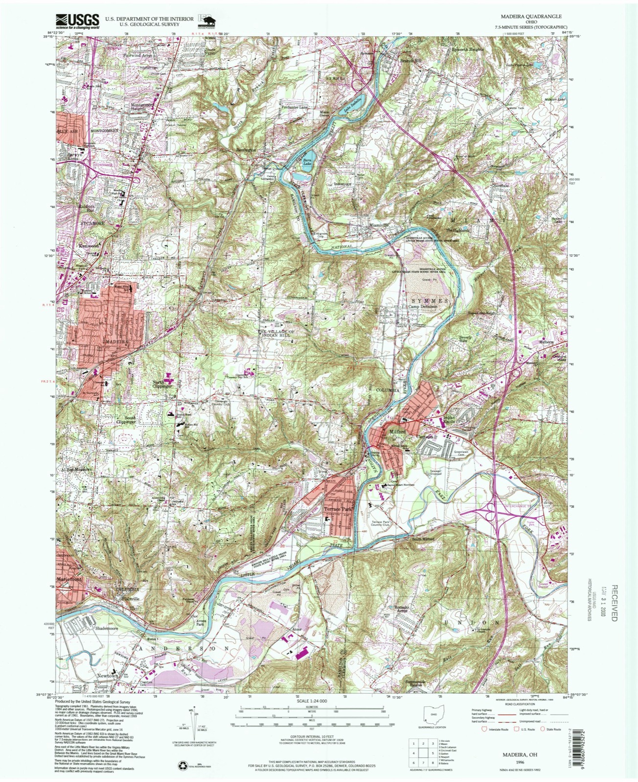
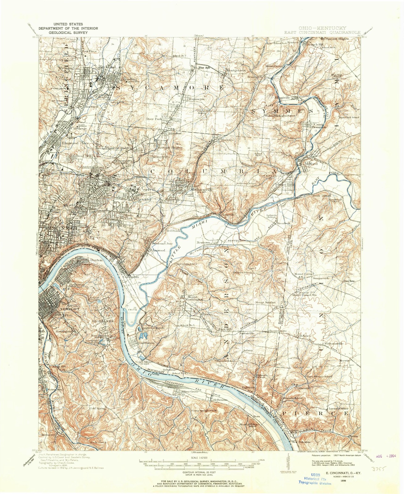
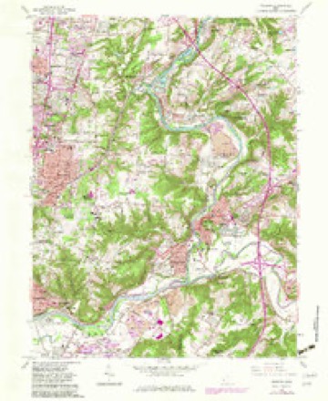
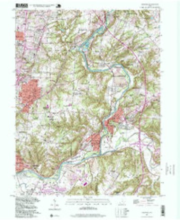
1898 to 1996The same ground, surveyed 98 years apart. Drag the handle to wipe between them. Both sheets are United States Geological Survey originals; neither has been altered.
Compare 1898 against another survey:
Topographic sheets covering this place
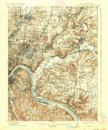
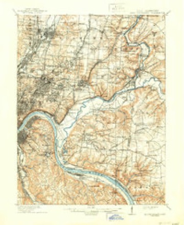
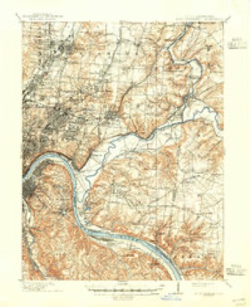
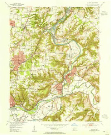
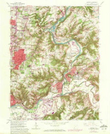
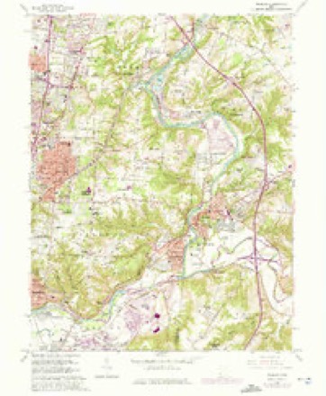
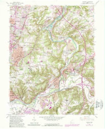
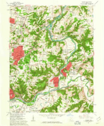
19 sheetsMatched by testing this settlement's coordinate against the published boundary of every sheet in the United States Geological Survey's historical collection. Each opens the scanned sheet at the Survey.
- 1898 USGS East Cincinnati quadrangle1:62500
- 1914 USGS East Cincinnati quadrangle1:62500
- 1914 USGS East Cincinnati quadrangle1:62500
- 1914 USGS East Cincinnati quadrangle1:62500
- 1914 USGS East Cincinnati quadrangle1:62500
- 1953 USGS Cincinnati quadrangle1:250000
- 1953 USGS Cincinnati quadrangle1:250000
- 1953 USGS Cincinnati quadrangle1:250000
- 1953 USGS Madeira quadrangle1:24000
- 1957 USGS Cincinnati quadrangle1:250000
- 1961 USGS Madeira quadrangle1:24000
- 1961 USGS Madeira quadrangle1:24000
- 1961 USGS Madeira quadrangle1:24000
- 1961 USGS Madeira quadrangle1:24000
- 1961 USGS Madeira quadrangle1:24000
- 1986 USGS Cincinnati quadrangle1:100000
- 1986 USGS Cincinnati quadrangle1:100000
- 1986 USGS Cincinnati quadrangle1:100000
- 1996 USGS Madeira quadrangle1:24000







In the county-history sources
5,093 words on this townshipHistory of Hamilton County, Ohio, with Illustrations and Biographical Sketches, published 1881 names this settlement in its chapter on Montgomery City. These are the passages that mention it, exactly as the scans read.
It is thought by some that inroads were made upon the forest and improvements begun by white men upon the present site of Montgomery as early as the fall of 1794; but the earliest trustworthy date is fixed one year from that time, when a colony of six families came in from Ulster county. New York. They were headed, respectively, by three brothers Felter - Jacob, Irominius, and David - Cornelius Snyder, Nathaniel Terwilliger, and Jacob Rosa. All were Felter families, indeed, in this, that the three brothers sired one-half of them, and their three sisters - Mesdames Snyder, TerwiIITgef,"and~ Rosa - were mothers to the other three. It is seldom that a pioneer colony is thus uniquely made up. Snyder bought of Thomas Espy, June 27, 1796, the whole of section four, for one thousand four hundred and forty dollars. Here the first improvements v?ere made by the party. August ist of the same year Terwilliger bought of Judge Symmes the southwest quarter of section three, upon which section Montgomery is situated, and began the clearing of that tract shortly after. Nearly five years afterwards - May 5, 1801 - he also bought the north half of the section, and upon it laid out the town of Montgomery. It was surveyed in 1802; but the recorded plat of this bears date the ninth of August, 1805. It is situated on the Montgomery pike, two and one-half miles from the south line of the township, and one and a half miles from Montgomery station, in Symmes township.
Passage source: History of Hamilton County, Ohio, with Illustrations and Biographical Sketches, published 1881.
Like most towns of its size Montgomery has no written history. Situated on a leading road, it became a resting place for teamsters and travellers, and so grew up from a single tavern to what it now is, a town of five hundred inhabitans. A log cabin formed the first tavern of the place. This was situated on the southeast corner of Main and Mechanic streets, on what is now known as the Station road, and kept by John Osborn. A man named Yost opened another tavern on the diagonel corner. Some idea of the extent of travel, or the drinking habits of the people of that time (1809), may be formed when we state that a fifty-barrel supply of whiskey for the year failed to meet the demand upon Yost's bar.
Passage source: History of Hamilton County, Ohio, with Illustrations and Biographical Sketches, published 1881.
In 1806-7 a number of citizens from Montgomery, Orange county. New York, came by the way of Fort Pitt (Pittsburgh), and Columbia, and settled around this point, as a good place for trade and fanning. Among these were [acob and Cranmer Felton, Cornehus Snider, grandfather of James Snider; John Z. Weller, Nathaniel Terwilliger, Joseph Taulman, H. Crist, Jacob Roosa, and others. Coming from Mont- ' gomery, they naturally named the new place in honor of their old home. In 1810 a company of these men was organized for the purpose of erecting and running a grist-mill. Some of the names were Elliott, Crist, Snider, and Sears - the latter was the millwright. Soon after commencing business in the mill they opened a store on the corner now occupied by Mr. R. Parrott.
Passage source: History of Hamilton County, Ohio, with Illustrations and Biographical Sketches, published 1881.
Machine-read from a century-old scan, so expect the errors a machine makes: misspelled names, dropped words, stray characters.
Read the whole chapter on Montgomery City - it names this place 19 more 19 times.
Specimens collected near this place
12 of 5,132 shownRegional context, not property-specific evidence. Museums hold 5,132 specimens collected within 10 miles of Montgomery between 1819 and 1975: 3,394 Fungi, 999 Animalia, 377 Plantae, 326 Protozoa, 25 Unrecorded, 11 Chromista. 12 distinct Species records are shown. Collected by 14753, A. Braun, A. Gaufin and others. Each is a physical object with a catalogue number, and each entry opens the museum's record. This is what was collected and kept, not a survey of what lives here - nothing can be concluded from a species being absent.
| Image | Species | Year | Collected by | Where, as recorded |
|---|---|---|---|---|
 | Corticium polyporoideum Berk. & M.A.Curtis | 1899 | C.G. Lloyd | Cincinnati |
 | Microsphaera diffusa Cooke & Peck | 1899 | Aiken, Walter H. | Cincinnati |
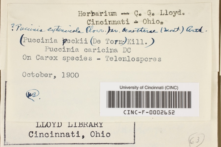 | Puccinia extensicola Plowr. | 1900 | Aiken, Walter H. | Cincinnati |
 | Quercus × leana Nutt. | 1819 | Thomas Nuttall | 3 miles North of Cincinnati |
 | Sebacina calcea (Pers.) Bres. | 1827 | Lloyd C. G. | Linwood |
 | Rhus venenata DC. | 1830 | Clark, Joseph | North of Cincinnati |
 | Carex comosa Boott | 1835 | Collector unspecified | In citivate Ohio prope Cincinnati. [Inferred locality from precise loc.] |
 | Carex lupulina Muhl. ex Willd. | 1835 | Collector unknown | |
 | Carex sparganioides Muhl. ex Willd. | 1835 | Collector unknown | |
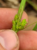 | Carex amphibola Steud. | 1837 | Collector unknown | In citivate Ohio prope Cincinnati. |
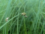 | Carex suberecta (Olney) Britton | 1837 | Collector unspecified | Cincinnati. |
 | Philonotis longiseta (Michx.) E.Britton | 1838 | T. G. Lea |
All 5,132 specimens within 10 miles, at the Global Biodiversity Information Facility.
Mines and quarries near this place
2 within 5 milesRegional context, not property-specific evidence. The federal mineral resources record lists 2 workings within 5 miles of Montgomery: 1 past producer, 1 plant. 1 still produces. What was taken out: Sand and Gravel, Construction. Distance is straight-line from the map coordinates, so a quarry counted here may appear on a neighbouring settlement's page as well.
| Where | Site | Commodity | Status | Recorded |
|---|---|---|---|---|
| Camp Dennison Pit | Sand and Gravel, Construction | Past Producer | Sedimentary | |
| Camp Dennison Plant | Sand and Gravel, Construction | Plant |
Storms near this place
8 since 2009Regional context, not property-specific evidence. The National Weather Service names Montgomery in 8 storm reports between 2009 and 2020: 5 hail, 2 flood, 1 thunderstorm wind. No death or injury is recorded in these reports. Each account below is quoted exactly as the forecast office filed it, from the NOAA Storm Events Database, and each date opens the federal record of that event.
| When | Event | Place named | Harm | What the report says |
|---|---|---|---|---|
| May 2009 | Hail | Montgomery | $5,000 | no account filed |
| June 2015 | Thunderstorm Wind | Montgomery | $1,000 | Power lines were downed on Montgomery Road. |
| January 2012 | Flood | Montgomery | $1,000 | High water due to heavy rain was reported on Interstate 71 near Interstate 275. |
| July 2013 | Flood | Montgomery | - | High water was over the ramp from Ronald Reagan Highway to Montgomery Road due to heavy rainfall. |
| April 2020 | Hail | Montgomery | - | no account filed |
| December 2018 | Hail | Montgomery | - | no account filed |
| March 2017 | Hail | Montgomery | - | no account filed |
| July 2012 | Hail | Montgomery | - | no account filed |
Nearest settlements
The eight closest, with where each one stands in the county. Distances are straight-line, computed from the Geographic Names Information System coordinates.
| Map | Place | Distance | Sheets |
|---|---|---|---|
| Montgomery Heights | 0.6 miles | 19 | |
| Barwyn Acres | 1.0 miles | 19 | |
| Fairwind Acres | 1.1 miles | 19 | |
| Raiders Run | 1.1 miles | 19 | |
| Blue Ash | 1.3 miles | 19 | |
| Kenwood Knolls | 1.4 miles | 19 | |
| Kenwood | 1.4 miles | 19 | |
| Glenwood (historical) | 1.5 miles | 19 |
Elsewhere
Matched on this settlement's Geographic Names Information System number rather than its name, so it cannot be a different place of the same name in another state.
| Wikipedia article on Montgomery | An encyclopaedic summary. Its text is share-alike, so it is linked here rather than copied. |
| Wikidata item Q1014001 | The structured record the population and elevation above come from. Public domain (CC0). |
Provenance
This settlement is recorded in the Geographic Names Information System as feature 1065047. The sheet list is computed by point-in-boundary test against the United States Geological Survey's historical topographic inventory. Both are works of the United States government and carry no copyright under 17 U.S.C. 105.
Specimens. Global Biodiversity Information Facility (GBIF), https://www.gbif.org/. Only records licensed CC0 or CC BY are used. Records licensed CC BY-NC are excluded because this site carries advertising. Images are checked individually and any whose licence is non-commercial, no-derivatives or unreadable is refused.
Mines and quarries. USGS Mineral Resources Data System (MRDS) https://mrdata.usgs.gov/mrds/ A work of the United States government, no copyright under 17 U.S.C. 105.
Storms. NOAA National Centers for Environmental Information, Storm Events Database https://www.ncei.noaa.gov/stormevents/ A work of the United States government, no copyright under 17 U.S.C. 105. Narratives are quoted verbatim from the National Weather Service report and are not edited or summarised.