 Block
Block
New Albany, Ohio
12 topographic sheets cover this place, the earliest surveyed in 1902 and the latest in 1966. It stands in Plain Township. It lies in ZIP code area 43054. The Survey maps it on the New Albany quadrangle. 10,825 people lived here at the 2020 count. It stands 1,024 feet above sea level.
Population over time
2 figuresNew Albany grew from 7,724 to 10,825 between 2010 and 2020. These are the recorded population figures Wikidata holds for this place, reached through the Geographic Names Information System number this page is keyed on rather than by name, so they belong to this place and not to another of the same name. Most are census counts, but not all are: an early figure may be a founding or settlement estimate. The change column is computed, and is left blank where more than 20 years separate a figure from the one before it, because a gap that long is not a change between two counts.
| Year | People | Change |
|---|---|---|
| 2010 | 7,724 | |
| 2020 | 10,825 | +3,101 (+40%) |
Then and now
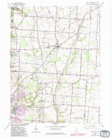
1902 to 1966The same ground, surveyed 64 years apart. Drag the handle to wipe between them. Both sheets are United States Geological Survey originals; neither has been altered.
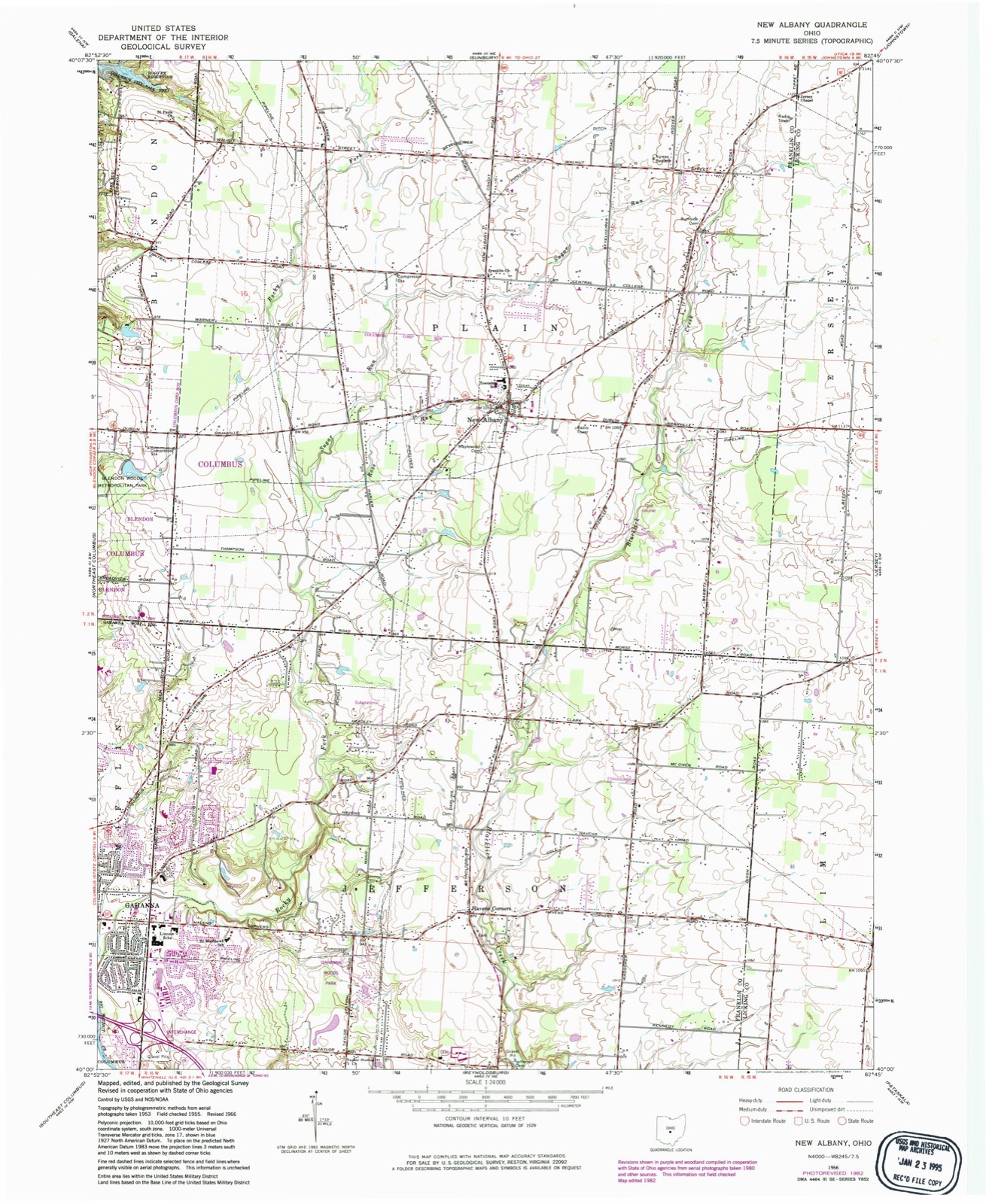
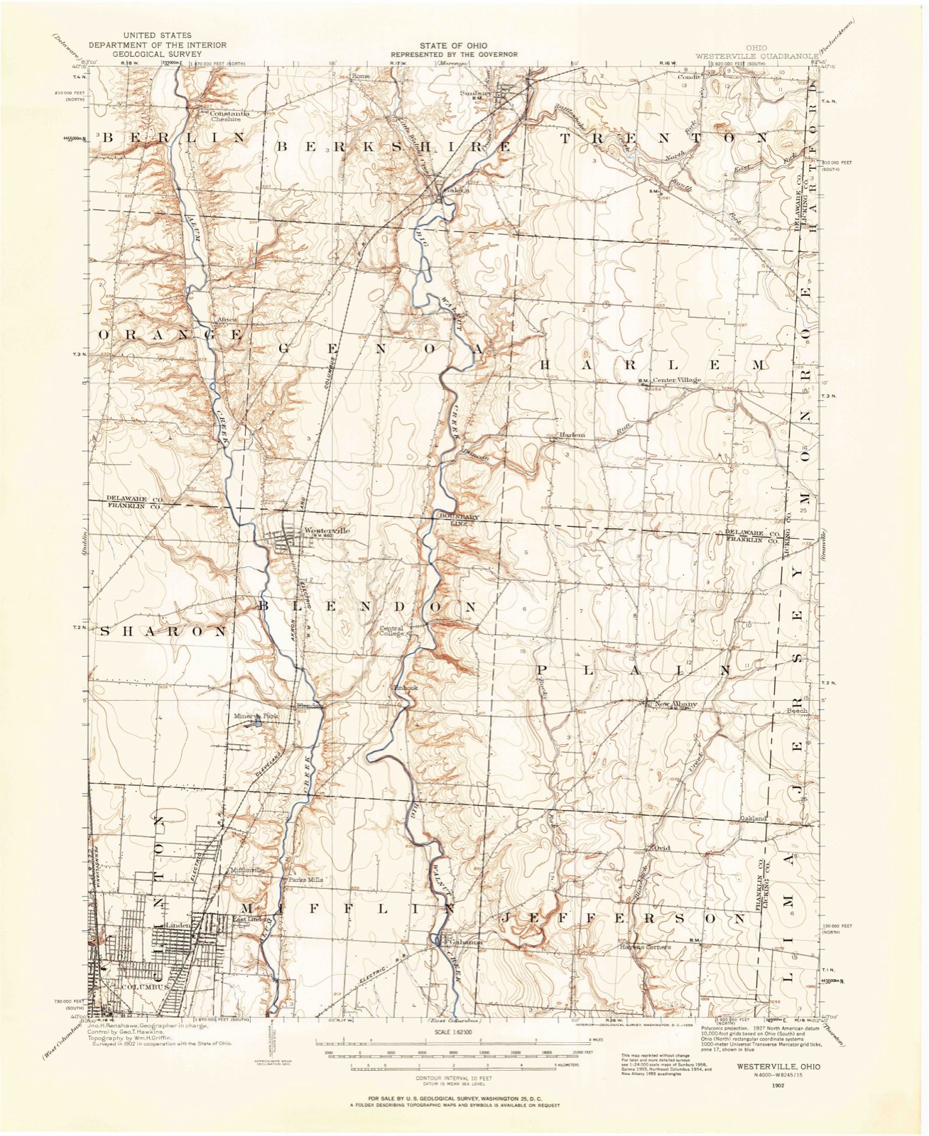
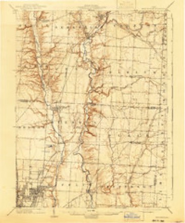
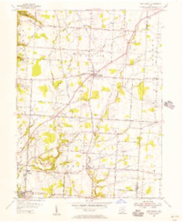
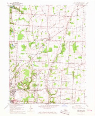
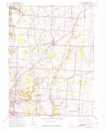
Topographic sheets covering this place
12 sheetsMatched by testing this settlement's coordinate against the published boundary of every sheet in the United States Geological Survey's historical collection. Each opens the scanned sheet at the Survey.
- 1902 USGS Westerville quadrangle1:62500
- 1904 USGS Westerville quadrangle1:62500
- 1904 USGS Westerville quadrangle1:62500
- 1950 USGS Marion quadrangle1:250000
- 1955 USGS New Albany quadrangle1:24000
- 1962 USGS Marion quadrangle1:250000
- 1966 USGS Marion quadrangle1:250000
- 1966 USGS Marion quadrangle1:250000
- 1966 USGS Marion quadrangle1:250000
- 1966 USGS New Albany quadrangle1:24000
- 1966 USGS New Albany quadrangle1:24000
- 1966 USGS New Albany quadrangle1:24000





In the county-history sources
761 words on this townshipHistory of Franklin County [Ohio]:, published 1858 names this settlement in its chapter on Plain Township. These are the passages that mention it, exactly as the scans read.
Of religious denominations, the Methodists are perhaps, the most numerous in this township. They have a good brick meeting house, erected about 1837 or '38, in the northern part of the township, called "Plain Chapel," and a good frame meeting house in the town of New Albany, erected about 1847 or '48. The United Brethren are also tolerably numerous. They have a brick church near the center of the township, erected about the year 1836 or 37. The Albrites, German, have a good wooden church building about one mile west from Plain Chapel. The Presbyterians have a small wooden church in N.oav Albany, congregation small.
Passage source: History of Franklin County [Ohio]:, published 1858.
In 1826, Lorin Hills and Lester Humphrey laid out a town on the Granville road near where New Albany now is, which they called " Lafayetteville," and had the plat recorded, etc., but it never improved, and was finally vacated.
Passage source: History of Franklin County [Ohio]:, published 1858.
In May, 1837, Noble Landon and William Yantis laid out the town of New Albany, not as partners, but one owned the land on one side of the main street, and the other on the opposite side, and they had it all platted together, but each one held or disposed of his own lots at his pleasure. It is now a thriving village, and quite an advantage to the country around. The town is incorporated, and in April, 1856, they held their first charter election, at which the following gentlemen were elected, to wit : S. Ogden, Mayor ; C. S. Ogden, Recorder ; H. Phelps, Marshal ; F. Johnson, J. McCurdy, C. Baughman, A. B. Beem, S. Stinson, Councilmen.
Passage source: History of Franklin County [Ohio]:, published 1858.
Machine-read from a century-old scan, so expect the errors a machine makes: misspelled names, dropped words, stray characters.
Fires near this place
1 since 2009Regional context, not property-specific evidence. The federal wildfire occurrence database lists 1 fire within 5 miles of New Albany between 2009 and 2009, burning about 1 acres in total. None started naturally. None was recorded as arson. Distance is straight-line from the map coordinates, so a fire counted here may appear on a neighbouring settlement's page as well.
| Reported cause | Fires |
|---|---|
| Equipment and vehicle use | 1 |
The most recent of them, most recent first, with the day each was reported and the service that recorded it.
| Date | Cause | Size | Reported by | Name on the report |
|---|---|---|---|---|
| 1 January 2009 | Equipment and vehicle use | 1.0 acres | Ohio Department of Natural Resources | not named |
Settlements close enough to share some of these fires:
Specimens collected near this place
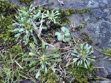
12 of 1,750 shownRegional context, not property-specific evidence. Museums hold 1,750 specimens collected within 10 miles of New Albany between 1890 and 1975: 1,720 Animalia, 19 Plantae, 11 Fungi. 12 distinct Species records are shown. Collected by A C Whitney, A. J. Penniman, A. P. Morgan and others. Each is a physical object with a catalogue number, and each entry opens the museum's record. This is what was collected and kept, not a survey of what lives here - nothing can be concluded from a species being absent.
| Image | Species | Year | Collected by | Where, as recorded |
|---|---|---|---|---|
 | Aster laevis L. | 1890 | Wilcox, E.V. | Central College |
 | Hibiscus trionum L. | 1890 | Wilcox, E.V. | Westerville |
| Mentha × alopecuroides Hull | 1890 | E. V. Wilcox | Central College. [Inferred county from precise loc.] | |
 | Draba verna L. | 1891 | A C Whitney | Westerville |
 | Dermatocarpon miniatum (L.) W.Mann | 1892 | Bogue, E.E. | Big Walnut Creek, Blacklick east of Columbus |
 | Hyperphyscia adglutinata (Flörke) H.Mayrhofer & Poelt | 1892 | Bogue, E.E. | Blacklick, east of Columbus |
 | Lecanora varia (Hoffm.) Ach. | 1892 | Bogue, E.E. | Blacklick |
 | Melanerpes carolinus (Linnaeus, 1758) | 1894 | not recorded | Columbus 15 mi NE |
 | Sedum ternatum Michx. | 1894 | Yothers, J.F. | Nr. File Works, W of Westerville |
 | Ameiurus natalis (Lesueur, 1819) | 1897 | R. Osburn & E. Williamson | Alum Creek, Franklin County, Ohio |
 | Ammocrypta pellucida (Putnam, 1863) | 1897 | R. Osburn & E. Williamson | Black Lick, Franklin County, Ohio |
 | Ericymba buccata Cope, 1865 | 1897 | R. Osburn & E. Williamson | Alum Creek, Franklin County, Ohio |
All 1,750 specimens within 10 miles, at the Global Biodiversity Information Facility.
Storms near this place
14 since 2002Regional context, not property-specific evidence. The National Weather Service names New Albany in 14 storm reports between 2002 and 2026: 6 thunderstorm wind, 4 hail, 2 flood, 1 flash flood. No death or injury is recorded in these reports. Each account below is quoted exactly as the forecast office filed it, from the NOAA Storm Events Database, and each date opens the federal record of that event.
| When | Event | Place named | Harm | What the report says |
|---|---|---|---|---|
| October 2006 | Tornado (F2) | New Albany | $50,000,000 | A tornado touched down and moved through the Upper Albany West subdivision. Sixty-seven homes were damaged, sixteen of those severely and an additional eight completely destroyed. Many of the homes sustained significant roof, siding and window damage. Much of the damage was F1, with some low end F2 damage to around 120 mph. |
| May 2003 | Flash Flood | New Albany | $50,000 | Rocky Fork Creek came out of its banks, depositing two to three feet of water on the first floor of several of the town's buildings. Numerous homes flooded and cars were stranded in high water. |
| April 2026 | Thunderstorm Wind | New Albany | $8,000 | Numerous trees were downed along Peter Hoover Road. |
| September 2012 | Thunderstorm Wind | New Albany | $5,000 | Damage occurred to several trees and to a slate barn roof on Schleppi Road due to thunderstorm winds. |
| May 2009 | Hail | New Albany | $5,000 | The New Albany Fire Department also estimated 60 mph wind gusts as the storms moved through. |
| June 2002 | Thunderstorm Wind | New Albany | $5,000 | Several trees were knocked down in the far northeast part of the county. |
| November 2005 | Hail | New Albany | $5,000 | no account filed |
| June 2016 | Thunderstorm Wind | New Albany | $4,000 | Numerous large branches and a few trees were downed in New Albany. One tree was blocking Reynoldsburg-New Albany Road and Fenway Road. |
| July 2006 | Thunderstorm Wind | New Albany | $4,000 | Numerous trees were knocked down. |
| June 2012 | Thunderstorm Wind | New Albany | $3,000 | Large trees were downed due to damaging thunderstorm winds. |
| August 2017 | Flood | New Albany | - | Water was reported on State Route 605, north of Dublin-Granville Rd. |
| June 2013 | Flood | New Albany | - | Ponding of water was occurring on many streets due to heavy rainfall. |
| April 2025 | Hail | New Albany | - | no account filed |
| August 2013 | Hail | New Albany | - | no account filed |
Nearest settlements
The eight closest, with where each one stands in the county. Distances are straight-line, computed from the Geographic Names Information System coordinates.
| Map | Place | Distance | Sheets |
|---|---|---|---|
| Ackerly Park | 0.5 miles | 12 | |
| Ealy Crossing | 0.5 miles | 12 | |
| Fenway | 0.9 miles | 12 | |
| Wiveliscombe | 1.1 miles | 12 | |
| Pickett Place | 1.1 miles | 12 | |
| Hampstead Heath | 1.2 miles | 12 | |
| Clivdon | 1.4 miles | 12 | |
| New Albany Farms | 1.4 miles | 12 |
Elsewhere
Matched on this settlement's Geographic Names Information System number rather than its name, so it cannot be a different place of the same name in another state.
| Wikipedia article on New Albany | An encyclopaedic summary. Its text is share-alike, so it is linked here rather than copied. |
| Wikidata item Q2372892 | The structured record the population and elevation above come from. Public domain (CC0). |
Provenance
This settlement is recorded in the Geographic Names Information System as feature 1065106. The sheet list is computed by point-in-boundary test against the United States Geological Survey's historical topographic inventory. Both are works of the United States government and carry no copyright under 17 U.S.C. 105.
Wildfire. Short, Karen C. 2022. Spatial wildfire occurrence data for the United States, 1992-2020 [FPA_FOD_20221014]. 6th Edition. Fort Collins, CO: Forest Service Research Data Archive. https://doi.org/10.2737/RDS-2013-0009.6 Collected with United States Government funding and usable without additional permissions or fees.
Specimens. Global Biodiversity Information Facility (GBIF), https://www.gbif.org/. Only records licensed CC0 or CC BY are used. Records licensed CC BY-NC are excluded because this site carries advertising. Images are checked individually and any whose licence is non-commercial, no-derivatives or unreadable is refused.
Storms. NOAA National Centers for Environmental Information, Storm Events Database https://www.ncei.noaa.gov/stormevents/ A work of the United States government, no copyright under 17 U.S.C. 105. Narratives are quoted verbatim from the National Weather Service report and are not edited or summarised.