 Block
Block
Norton, Massachusetts
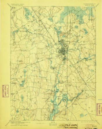
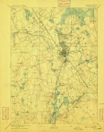
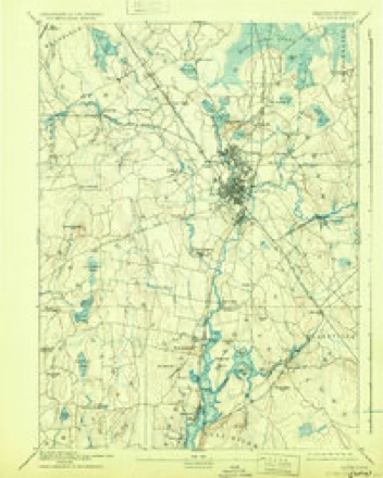
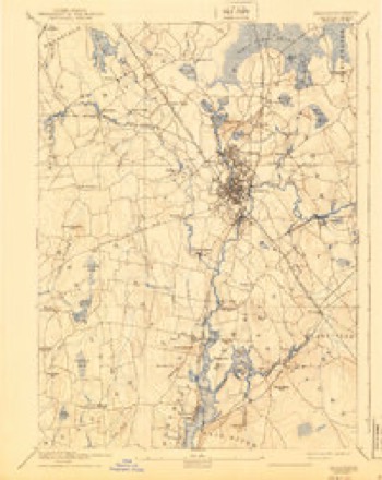
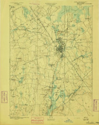
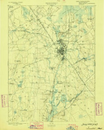
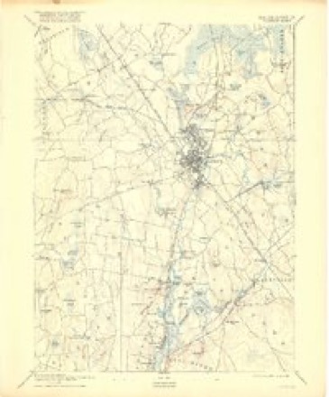
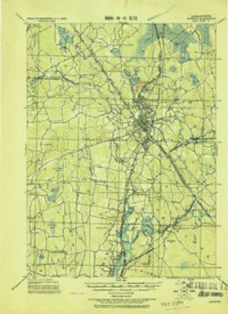
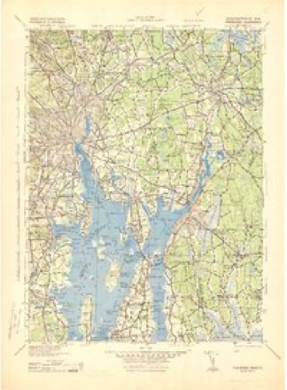
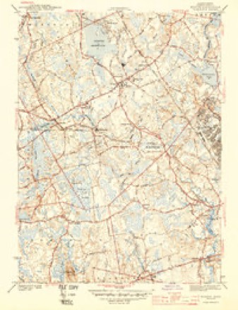
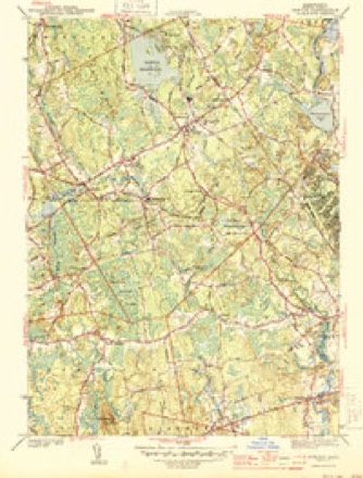
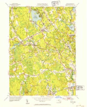
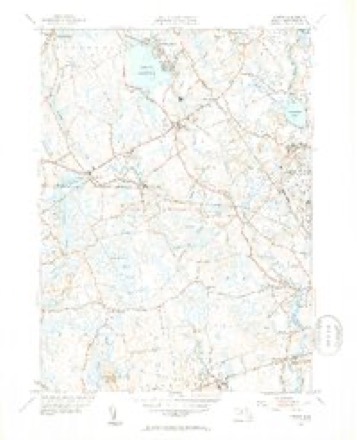
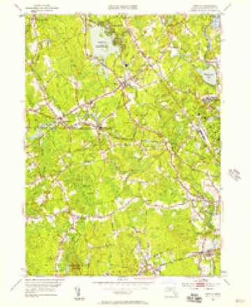
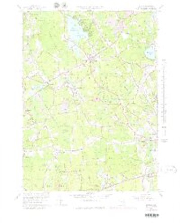
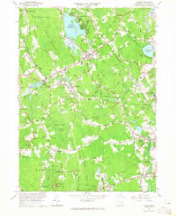
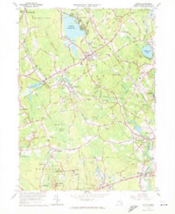
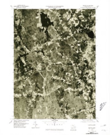
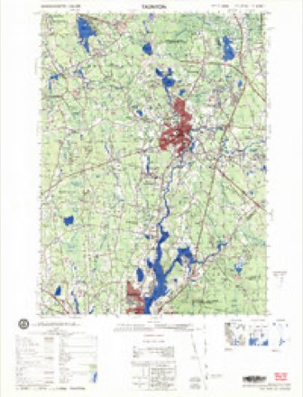
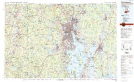
33 topographic sheets cover this place, the earliest surveyed in 1885 and the latest in 1987. It stands in Norton town. It lies in ZIP code area 02766. It stands on Wading River. The Survey maps it on the Norton quadrangle.
Then and now
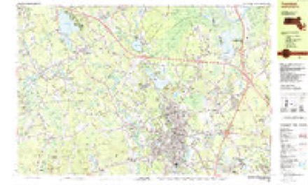
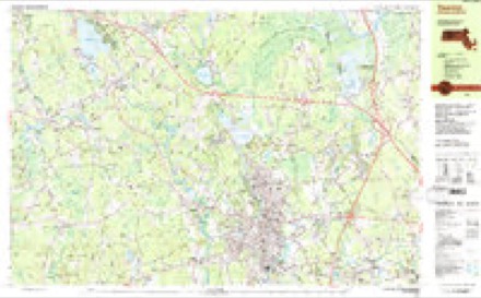
1885 to 1987The same ground, surveyed 102 years apart. Drag the handle to wipe between them. Both sheets are United States Geological Survey originals; neither has been altered.
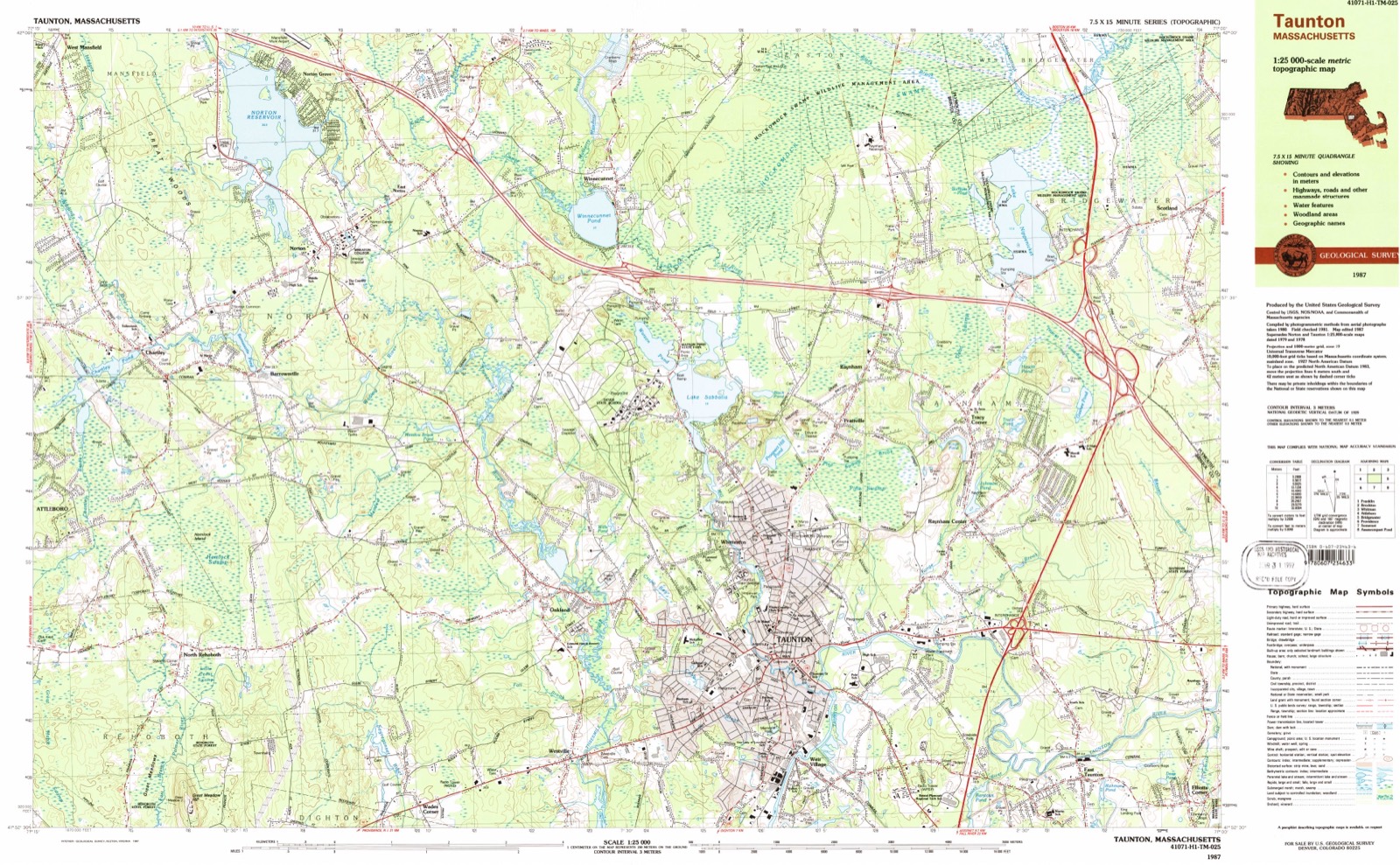
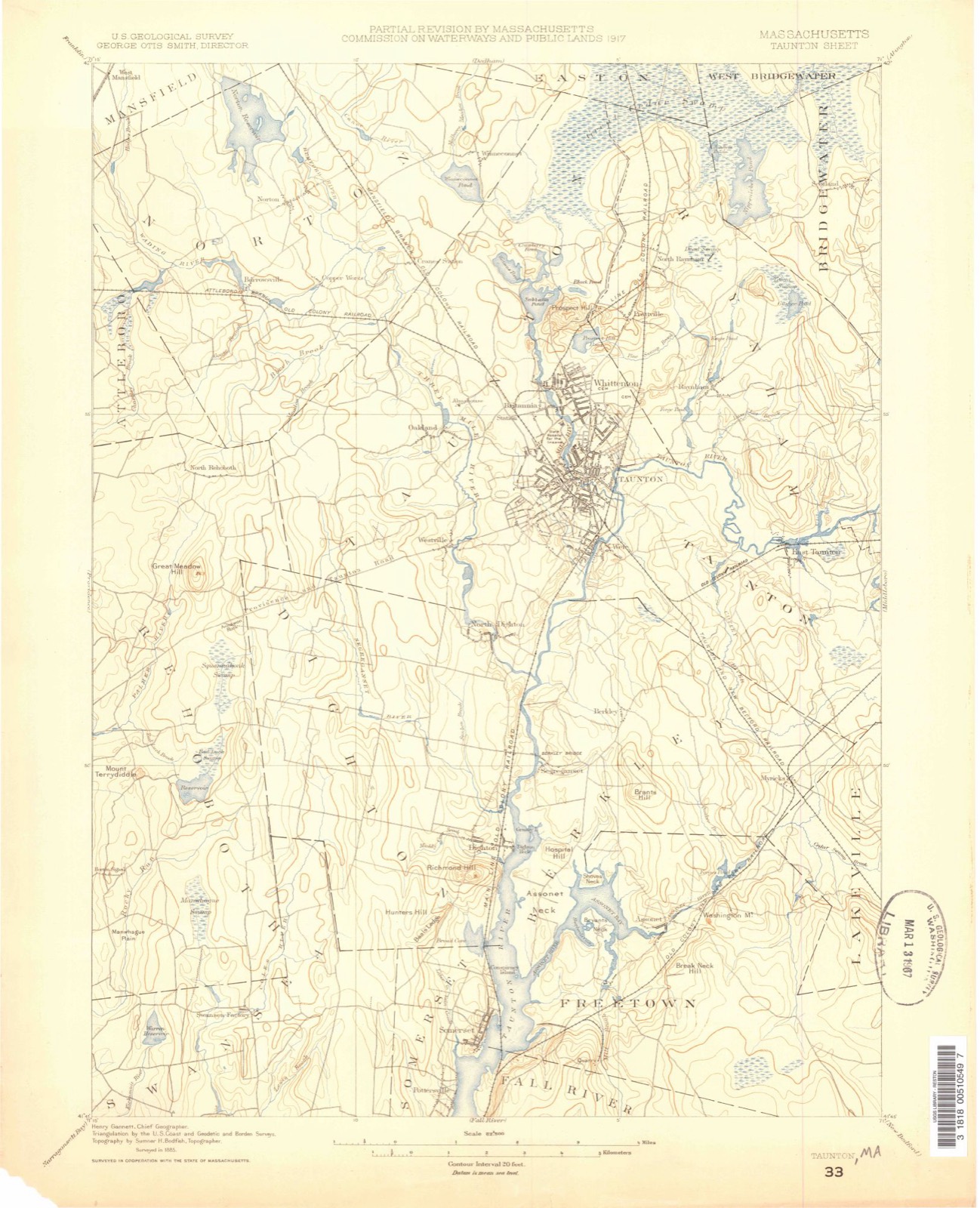
Topographic sheets covering this place
33 sheetsMatched by testing this settlement's coordinate against the published boundary of every sheet in the United States Geological Survey's historical collection. Each opens the scanned sheet at the Survey.
- 1885 USGS Taunton quadrangle1:62500
- 1888 USGS Taunton quadrangle1:62500
- 1893 USGS Taunton quadrangle1:62500
- 1893 USGS Taunton quadrangle1:62500
- 1893 USGS Taunton quadrangle1:62500
- 1893 USGS Taunton quadrangle1:62500
- 1893 USGS Taunton quadrangle1:62500
- 1893 USGS Taunton quadrangle1:62500
- 1893 USGS Taunton quadrangle1:62500
- 1918 USGS Taunton quadrangle1:62500
- 1943 USGS Providence quadrangle1:125000
- 1944 USGS Norton quadrangle1:31680
- 1944 USGS Norton quadrangle1:31680
- 1947 USGS Providence quadrangle1:250000
- 1947 USGS Providence quadrangle1:250000
- 1947 USGS Providence quadrangle1:250000
- 1947 USGS Providence quadrangle1:250000
- 1947 USGS Providence quadrangle1:250000
- 1948 USGS Providence quadrangle1:250000
- 1951 USGS Norton quadrangle1:31680
- 1951 USGS Norton quadrangle1:31680
- 1951 USGS Norton quadrangle1:24000
- 1957 USGS Providence quadrangle1:250000
- 1958 USGS Providence quadrangle1:250000
- 1963 USGS Providence quadrangle1:250000
- 1964 USGS Norton quadrangle1:25000
- 1964 USGS Norton quadrangle1:24000
- 1964 USGS Norton quadrangle1:24000
- 1977 USGS Norton quadrangle1:25000
- 1979 USGS Taunton quadrangle1:50000
- 1984 USGS Providence quadrangle1:100000
- 1987 USGS Taunton quadrangle1:25000
- 1987 USGS Taunton quadrangle1:25000









In the county-history sources
31,415 words on this townshipHistory of Bristol County, Massachusetts, with Biographical Sketches of Many of Its Pioneers and Prominent Men, published 1883 names this settlement in its chapter on Norton Town. These are the passages that mention it, exactly as the scans read.
In September, 1741, the town " voted to raise £40 for the Suport of the Scoole, and for the birds' and Squrils' heads, and the poor." We suppose this was for the support of " the poor," and not a bounty offered for cutting off their " heads."
Passage source: History of Bristol County, Massachusetts, with Biographical Sketches of Many of Its Pioneers and Prominent Men, published 1883.
Deacon John Andrews might have been the son of Henry and Mary (Deane) Andrews, who were married Feb. 17, 1685-86, and was born about 1686. He is supposed to have been a grandson of Henry Andrews, one of the first settlers of Taunton.
Passage source: History of Bristol County, Massachusetts, with Biographical Sketches of Many of Its Pioneers and Prominent Men, published 1883.
Capt. Samuel Brintnell was the son of Thomas and Esther Brintnell (the first settlers of what is now Mansfield), and born Dec. 2 (?), 1665. He lived at the homestead of his father, and was a very influential man in the early history of the town, much employed in public affairs as selectman and representative to the General Court.
Passage source: History of Bristol County, Massachusetts, with Biographical Sketches of Many of Its Pioneers and Prominent Men, published 1883.
Machine-read from a century-old scan, so expect the errors a machine makes: misspelled names, dropped words, stray characters.
Read the whole chapter on Norton Town - it names this place 104 more 104 times.
Photographs
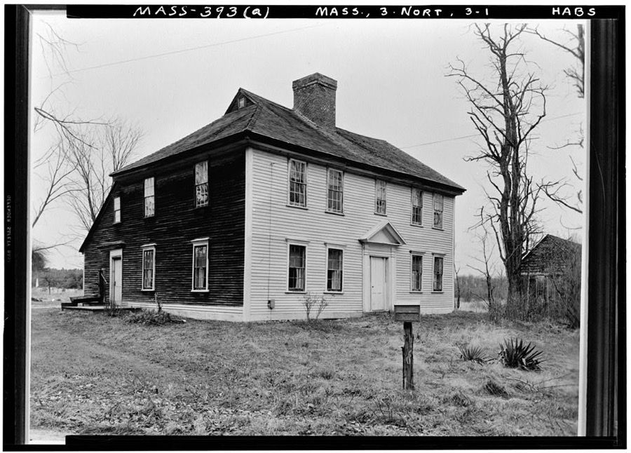
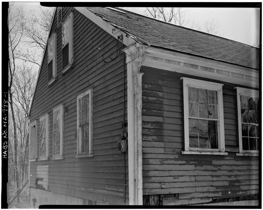
2 photographs,Taken for the Office of War Information and the Farm Security Administration, who photographed the country between 1935 and 1944. Works of United States government photographers, with no known restriction on use. Each opens its catalogue record.
Unattributed, . Library of Congress
Unattributed, . Library of Congress
Fires near this place
40 since 2015Regional context, not property-specific evidence. The federal wildfire occurrence database lists 40 fires within 5 miles of Norton between 2015 and 2020, burning about 44 acres in total. None started naturally. 1 was recorded as arson. Distance is straight-line from the map coordinates, so a fire counted here may appear on a neighbouring settlement's page as well.
| Reported cause | Fires |
|---|---|
| Missing data/not specified/undetermined | 18 |
| Debris and open burning | 10 |
| Recreation and ceremony | 5 |
| Smoking | 2 |
| Fireworks | 2 |
| Equipment and vehicle use | 1 |
| Misuse of fire by a minor | 1 |
| Arson/incendiarism | 1 |
The most recent of them, most recent first, with the day each was reported and the service that recorded it.
| Date | Cause | Size | Reported by | Name on the report |
|---|---|---|---|---|
| 16 September 2015 | Missing data/not specified/undetermined | under an acre | Massachusetts Bureau of Forest Fire Control | not named |
| 12 September 2017 | Recreation and ceremony | under an acre | Massachusetts Bureau of Forest Fire Control | PLAINVILLE |
| 9 August 2016 | Missing data/not specified/undetermined | under an acre | Massachusetts Bureau of Forest Fire Control | not named |
| 28 August 2016 | Recreation and ceremony | under an acre | Massachusetts Bureau of Forest Fire Control | not named |
| 11 August 2020 | Debris and open burning | under an acre | Massachusetts Bureau of Forest Fire Control | not named |
| 10 August 2020 | Recreation and ceremony | under an acre | Massachusetts Bureau of Forest Fire Control | not named |
| 10 August 2015 | Missing data/not specified/undetermined | under an acre | Massachusetts Bureau of Forest Fire Control | not named |
| 20 July 2016 | Fireworks | 1.2 acres | Massachusetts Bureau of Forest Fire Control | not named |
Settlements close enough to share some of these fires:
Specimens collected near this place
12 of 1,337 shownRegional context, not property-specific evidence. Museums hold 1,337 specimens collected within 10 miles of Norton between 1855 and 1975: 925 Animalia, 324 Plantae, 85 Fungi, 3 Chromista. 12 distinct Species records are shown. Collected by ?, A. A. Eaton, A. C. Birch and others. Each is a physical object with a catalogue number, and each entry opens the museum's record. This is what was collected and kept, not a survey of what lives here - nothing can be concluded from a species being absent.
| Image | Species | Year | Collected by | Where, as recorded |
|---|---|---|---|---|
 | Apocynum cannabinum L. | 1855 | F. C. Seymour | Rehoboth |
 | Astur Lacepède, 1799 | 1860 | C. D. Lincoln | Taunton |
 | Carex panicea L. | 1863 | J. H. Dean | |
 | Carex L. | 1864 | J. H. Dean | Taunton. |
 | Carex vulpinoidea Michx. | 1864 | J. H. Dean | |
 | Hypoxis hirsuta (L.) Coville | 1874 | not recorded | |
 | Chelidonium majus L. | 1875 | not recorded | |
 | Lygodium palmatum (Bernh.) Sw. | 1875 | not recorded | |
 | Berberis vulgaris L. | 1876 | not recorded | |
 | Empidonax minimus (W.M.Baird & S.F.Baird, 1843) | 1877 | C.P. Snow | Taunton, North |
 | Chaetura pelagica (Linnaeus, 1758) | 1878 | C. F. Snow | MASSACHUSETTS: Bristol County; Taunton |
 | Coccyzus erythropthalmus (A.Wilson, 1811) | 1878 | not recorded | Taunton |
All 1,337 specimens within 10 miles, at the Global Biodiversity Information Facility.
Mines and quarries near this place
6 within 5 milesRegional context, not property-specific evidence. The federal mineral resources record lists 6 workings within 5 miles of Norton: 5 past producers, 1 producer. 1 still produces. What was taken out: Sand and Gravel, Construction, Stone, Crushed/Broken. Distance is straight-line from the map coordinates, so a quarry counted here may appear on a neighbouring settlement's page as well.
| Where | Site | Commodity | Status | Recorded |
|---|---|---|---|---|
| Taunton Plant | Stone, Crushed/Broken | Producer | ||
| Allen R. Nelson Pit | Sand and Gravel, Construction | Past Producer | ||
| Gary Nelson Excavating Co | Sand and Gravel, Construction | Past Producer | Sedimentary | |
| Pine Street Pit | Sand and Gravel, Construction | Past Producer | ||
| Sand and Gravel Pit | Sand and Gravel, Construction | Past Producer | ||
| Sand and Gravel Pit | Sand and Gravel, Construction | Past Producer |
Storms near this place
16 since 1998Regional context, not property-specific evidence. The National Weather Service names Norton in 16 storm reports between 1998 and 2018: 7 thunderstorm wind, 5 flash flood, 1 heavy rain, 1 hail. No death or injury is recorded in these reports. Each account below is quoted exactly as the forecast office filed it, from the NOAA Storm Events Database, and each date opens the federal record of that event.
| When | Event | Place named | Harm | What the report says |
|---|---|---|---|---|
| June 1998 | Flash Flood | Norton | $570,000 | Wading River |
| October 2018 | Tornado (EF1) | Norton | $20,000 | The same storm cell that produced the North Providence and Lincoln, Rhode Island tornado spawned another tornado, which touched down in Norton, MA at approximately 413 PM EDT. The tornado began on Freeman Street, just north of West Main Street (Route 123). It traveled to the northeast, cutting across the extreme southern portion of Norton Reservoir and Mansfield Avenue (Route 140), and lifted at the southernmost portion of Reservoir Street around 415 PM EDT. On Freeman Street, an oak tree was downed with large branches leaning on a house. Between the reservoir and Mansfield Avenue, numerous oak and pine trees were snapped near their bases. A tree fell onto a garage causing significant structural damage. There was some damage to a home, but it was spared any significant damage. There was very pronounced convergence in the downed trees with some downed from southwest to northeast and others from southeast to northwest. |
| June 2010 | Thunderstorm Wind | Norton | $10,000 | A tree was downed by thunderstorm winds onto a house on Woodbine Road. |
| February 2016 | Thunderstorm Wind | Norton | $5,000 | A tree on Dean and Hodges Streets was downed onto wires by thunderstorm winds. |
| February 2016 | Thunderstorm Wind | Norton | $5,000 | A large tree was downed onto wires in Norton. |
| July 2016 | Thunderstorm Wind | Norton | $5,000 | Wires were downed by thunderstorm winds. |
| July 2016 | Thunderstorm Wind | Norton | $5,000 | A dozen fifteen foot pine branches were downed by thunderstorm winds. |
| August 2000 | Hail | Norton | $5,000 | no account filed |
| February 2016 | Thunderstorm Wind | Norton | $1,000 | A large branch on Oak Street in Norton was downed by thunderstorm winds. |
| July 2009 | Thunderstorm Wind | Norton | $1,000 | A tree was downed by thunderstorm winds. |
| October 2017 | Flood | Norton | - | At 311 AM EST, Fillmore Drive was closed due to flooding. |
| March 2001 | Flash Flood | Norton | - | Wading River at Norton and Paskamanset River at S Dartmouth |
| July 1998 | Flash Flood | Norton | - | Wading River |
| March 2001 | Flash Flood | Norton | - | no account filed |
| September 1999 | Heavy Rain | Norton | - | no account filed |
| March 1998 | Flash Flood | Norton | - | no account filed |
Nearest settlements
The eight closest, with where each one stands in the county. Distances are straight-line, computed from the Geographic Names Information System coordinates.
| Map | Place | Distance | Sheets |
|---|---|---|---|
| Centre Mills | 0.6 miles | 33 | |
| East Norton | 1.1 miles | 33 | |
| Copper Works | 1.3 miles | 33 | |
| Barrowsville | 1.7 miles | 33 | |
| Norton Grove | 1.8 miles | 33 | |
| Meadow Brook | 2.3 miles | 33 | |
| Cranes Station | 2.4 miles | 33 | |
| Chartley | 2.4 miles | 33 |
Provenance
This settlement is recorded in the Geographic Names Information System as feature 612497. The sheet list is computed by point-in-boundary test against the United States Geological Survey's historical topographic inventory. Both are works of the United States government and carry no copyright under 17 U.S.C. 105.
Wildfire. Short, Karen C. 2022. Spatial wildfire occurrence data for the United States, 1992-2020 [FPA_FOD_20221014]. 6th Edition. Fort Collins, CO: Forest Service Research Data Archive. https://doi.org/10.2737/RDS-2013-0009.6 Collected with United States Government funding and usable without additional permissions or fees.
Specimens. Global Biodiversity Information Facility (GBIF), https://www.gbif.org/. Only records licensed CC0 or CC BY are used. Records licensed CC BY-NC are excluded because this site carries advertising. Images are checked individually and any whose licence is non-commercial, no-derivatives or unreadable is refused.
Mines and quarries. USGS Mineral Resources Data System (MRDS) https://mrdata.usgs.gov/mrds/ A work of the United States government, no copyright under 17 U.S.C. 105.
Storms. NOAA National Centers for Environmental Information, Storm Events Database https://www.ncei.noaa.gov/stormevents/ A work of the United States government, no copyright under 17 U.S.C. 105. Narratives are quoted verbatim from the National Weather Service report and are not edited or summarised.