 Block
Block
Orange, Ohio
17 topographic sheets cover this place, the earliest surveyed in 1906 and the latest in 1994. It stands in Orange Village. It lies in ZIP code area 44122. The Survey maps it on the Chagrin Falls quadrangle. 3,421 people lived here at the 2020 count. It stands 1,158 feet above sea level.
Population over time
2 figuresOrange grew from 3,323 to 3,421 between 2010 and 2020. These are the recorded population figures Wikidata holds for this place, reached through the Geographic Names Information System number this page is keyed on rather than by name, so they belong to this place and not to another of the same name. Most are census counts, but not all are: an early figure may be a founding or settlement estimate. The change column is computed, and is left blank where more than 20 years separate a figure from the one before it, because a gap that long is not a change between two counts.
| Year | People | Change |
|---|---|---|
| 2010 | 3,323 | |
| 2020 | 3,421 | +98 (+3%) |
Then and now
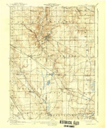
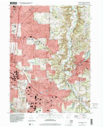
1906 to 1994The same ground, surveyed 88 years apart. Drag the handle to wipe between them. Both sheets are United States Geological Survey originals; neither has been altered.
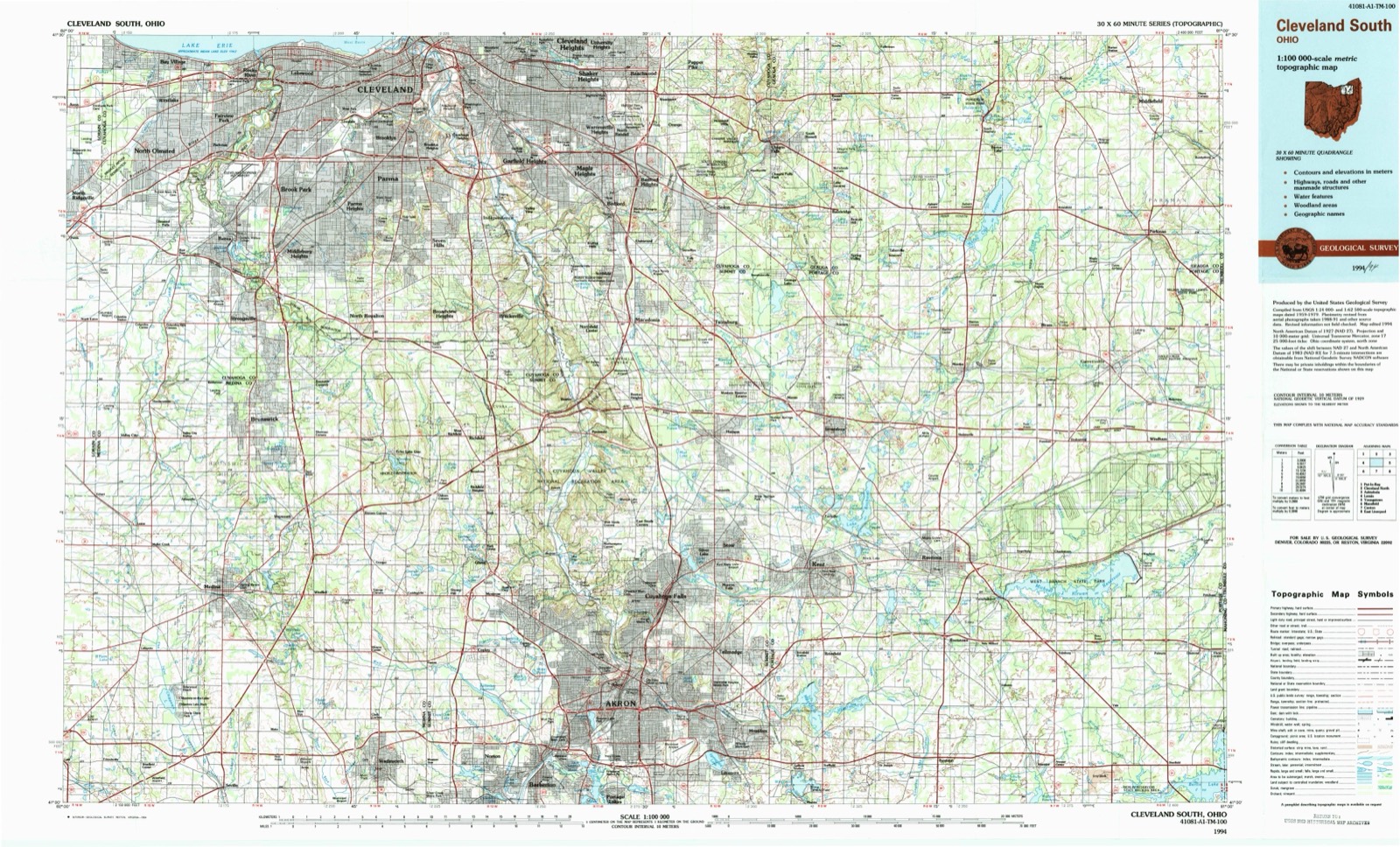
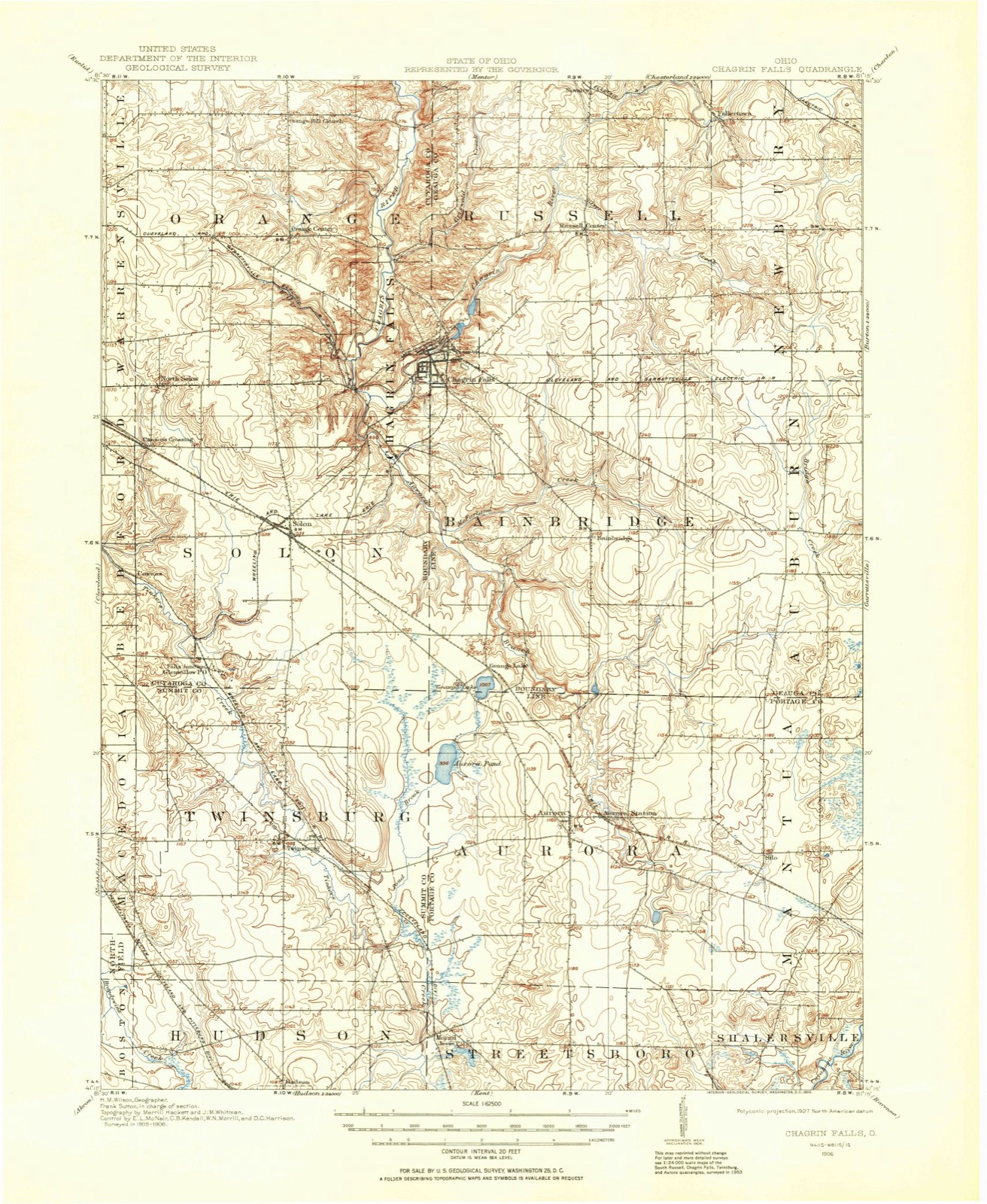
Topographic sheets covering this place
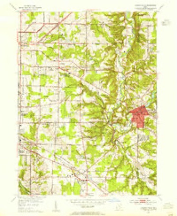
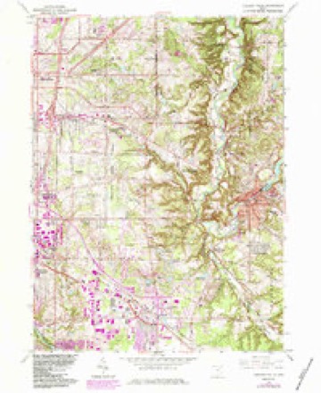
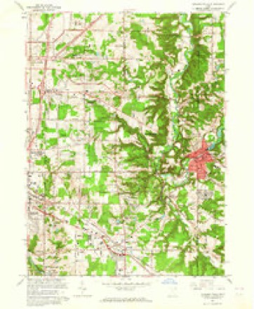
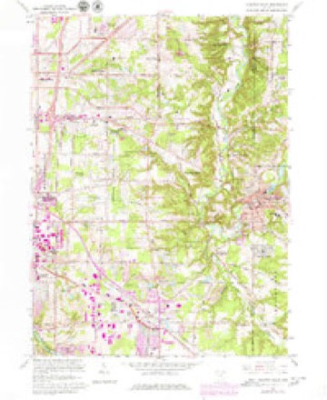
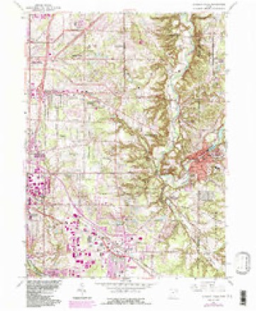
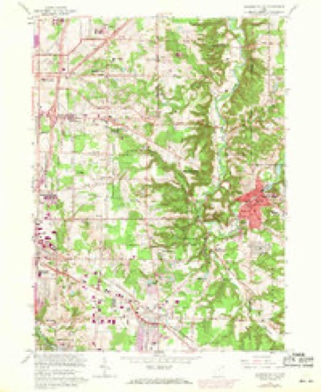
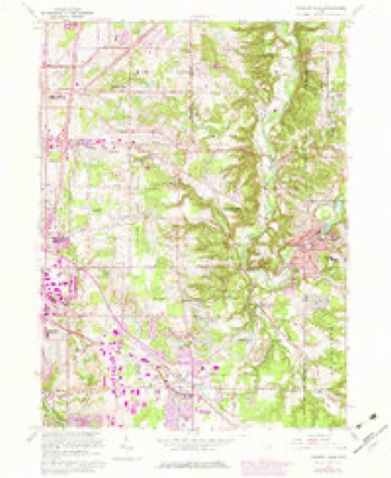
17 sheetsMatched by testing this settlement's coordinate against the published boundary of every sheet in the United States Geological Survey's historical collection. Each opens the scanned sheet at the Survey.
- 1906 USGS Chagrin Falls quadrangle1:62500
- 1908 USGS Chagrin Falls quadrangle1:62500
- 1908 USGS Chagrin Falls quadrangle1:62500
- 1953 USGS Chagrin Falls quadrangle1:24000
- 1956 USGS Cleveland quadrangle1:250000
- 1956 USGS Cleveland quadrangle1:250000
- 1956 USGS Cleveland quadrangle1:250000
- 1962 USGS Cleveland quadrangle1:250000
- 1963 USGS Chagrin Falls quadrangle1:24000
- 1963 USGS Chagrin Falls quadrangle1:24000
- 1963 USGS Chagrin Falls quadrangle1:24000
- 1963 USGS Chagrin Falls quadrangle1:24000
- 1963 USGS Chagrin Falls quadrangle1:24000
- 1963 USGS Chagrin Falls quadrangle1:24000
- 1986 USGS Cleveland South quadrangle1:100000
- 1994 USGS Chagrin Falls quadrangle1:24000
- 1994 USGS Cleveland South quadrangle1:100000






In the county-history sources
2,790 words on this townshipHistory of Cuyahoga County Ohio, published 1870 names this settlement in its chapter on Orange Village. These are the passages that mention it, exactly as the scans read.
Mr. King settled where he now resides in 1818. The only residents of the present township of Orange which he found at that time, were the families of Jesse Kimball, Rufus Parsons, John White and Theron White, all being on the high ground in the north part of the township. These families had been there at least one year at that time, and some of them he thinks two years; which is the reason why we fix the year 1816 as the probable date of the first settlement in the present township of Orange.
Passage source: History of Cuyahoga County Ohio, published 1870.
The western part of that township was composed of the narrow valley of the Chagrin river, running almost due north across it. Separated from this valley by a high, steep hill was a broad extent of high land, known as Orange Hill, comprising nearly all the northern part of the township. The land descended gradually to the south, and the portion south of the central line was only of moderate hight, but was yet composed of dry and somewhat broken ground, free from every suspicion of swampiness. 'The soil was gravelly, with some clay, and, when covered with its native, heavy growth of beech, maple, oak, elm, ete., presented a more alluring appearance to the pioneers than some more fertile regions, made unwholesome by frequent swamps and miasinatic exhalations. As has been observed, all the first settlers located on the llill, evidently determined to secure a healthful situation as the first consideration.
Passage source: History of Cuyahoga County Ohio, published 1870.
The newcomers went to work zealously, making clearings around their cabins, planting, sowing and reaping grain while the stumps still showed the marks of the axe, and obtaining ample supplies of wild mutton and woodland pork from the deer and bear which abounded on all sides of them. Several other settlers came during 1818 and 1819, and in the spring of 1820 it was determined to have a new civil township. The requisite order was made by the county commissioners on the 7th of June in that year; the name of "Orange" was selected for the new township, which then comprised survey-townships six and seven in range ten, being the whole of the present Solon and Orange, and the greater part of Chagrin Falls.
Passage source: History of Cuyahoga County Ohio, published 1870.
Machine-read from a century-old scan, so expect the errors a machine makes: misspelled names, dropped words, stray characters.
Read the whole chapter on Orange Village - it names this place 15 more 15 times.
Specimens collected near this place
12 of 2,378 shownRegional context, not property-specific evidence. Museums hold 2,378 specimens collected within 10 miles of Orange between 1876 and 1975: 2,272 Animalia, 66 Plantae, 35 Fungi, 3 Protozoa, 1 incertae sedis, 1 Unrecorded. 12 distinct Species records are shown. Collected by A. Hall, A. W. Walworth, A. Woolman and others. Each is a physical object with a catalogue number, and each entry opens the museum's record. This is what was collected and kept, not a survey of what lives here - nothing can be concluded from a species being absent.
| Image | Species | Year | Collected by | Where, as recorded |
|---|---|---|---|---|
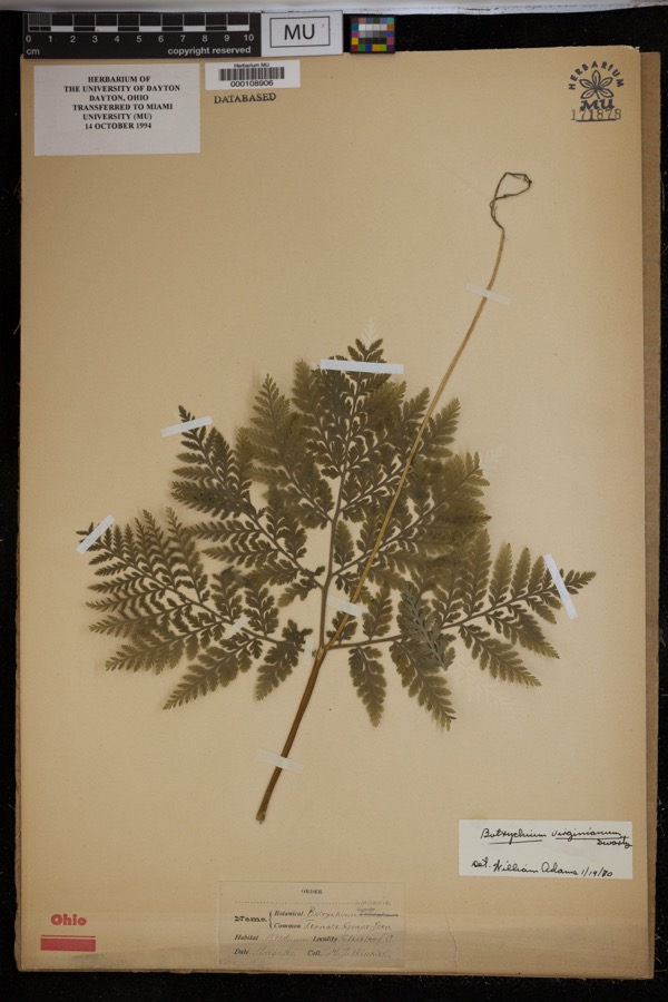 | Botrychium virginianum (L.) Sw. | 1897 | Winkler, H.J. | Woods, Cleveland. |
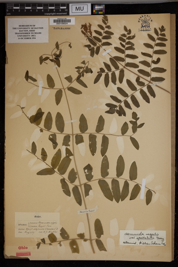 | Osmunda regalis var. spectabilis (Willd.) A.Gray | 1897 | Winkler, H.J. | Cleveland. Moist woods. |
 | Dendroica caerulescens caerulescens (J.F.Gmelin, 1789) | 1876 | A. Hall | unspecified |
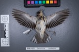 | Dendroica castanea (A.Wilson, 1810) | 1876 | A. Hall | unspecified |
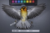 | Dendroica fusca (Statius Müller, 1776) | 1876 | A. Hall | unspecified |
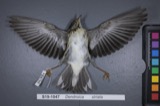 | Dendroica striata (J.R.Forster, 1772) | 1876 | A. Hall | unspecified |
 | Seiurus aurocapilla aurocapilla (Linnaeus, 1766) | 1876 | A. Hall | unspecified |
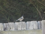 | Baeolophus bicolor bicolor (Linnaeus, 1766) | 1877 | A. Hall | unspecified |
 | Bombycilla cedrorum Vieillot, 1808 | 1877 | A. Hall | unspecified |
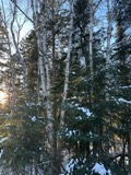 | Betula L. | 1888 | Jasliafro | Cleveland; Lake View |
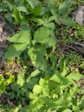 | Cryptotaenia canadensis (L.) DC. | 1890 | R. H. Ingraham | Miles |
 | Ambloplites rupestris (Rafinesque, 1817) | 1893 | A. Woolman | Cuyohoga River, Independence, Ohio |
All 2,378 specimens within 10 miles, at the Global Biodiversity Information Facility.
Nearest settlements
The eight closest, with where each one stands in the county. Distances are straight-line, computed from the Geographic Names Information System coordinates.
| Map | Place | Distance | Sheets |
|---|---|---|---|
| Woodmere | 0.9 miles | 17 | |
| North Solon | 1.8 miles | 17 | |
| Beachwood | 1.8 miles | 14 | |
| Warrensville | 2.0 miles | 14 | |
| Highland Hills | 2.0 miles | 14 | |
| Pepper Pike | 2.2 miles | 17 | |
| Orange Center | 2.4 miles | 17 | |
| North Randall | 2.6 miles | 14 |
Elsewhere
Matched on this settlement's Geographic Names Information System number rather than its name, so it cannot be a different place of the same name in another state.
| Wikipedia article on Orange | An encyclopaedic summary. Its text is share-alike, so it is linked here rather than copied. |
| Wikidata item Q1253863 | The structured record the population and elevation above come from. Public domain (CC0). |
Provenance
This settlement is recorded in the Geographic Names Information System as feature 1065211. The sheet list is computed by point-in-boundary test against the United States Geological Survey's historical topographic inventory. Both are works of the United States government and carry no copyright under 17 U.S.C. 105.
Specimens. Global Biodiversity Information Facility (GBIF), https://www.gbif.org/. Only records licensed CC0 or CC BY are used. Records licensed CC BY-NC are excluded because this site carries advertising. Images are checked individually and any whose licence is non-commercial, no-derivatives or unreadable is refused.