 Block
Over-The-Rhine, Ohio
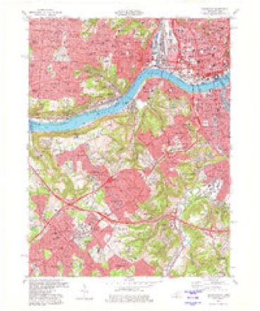
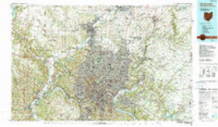
18 topographic sheets cover this place, the earliest surveyed in 1914 and the latest in 1986. It stands in Cincinnati City. It lies in ZIP code area 45202. It lies near Brighton Hill. The Survey maps it on the Covington quadrangle.
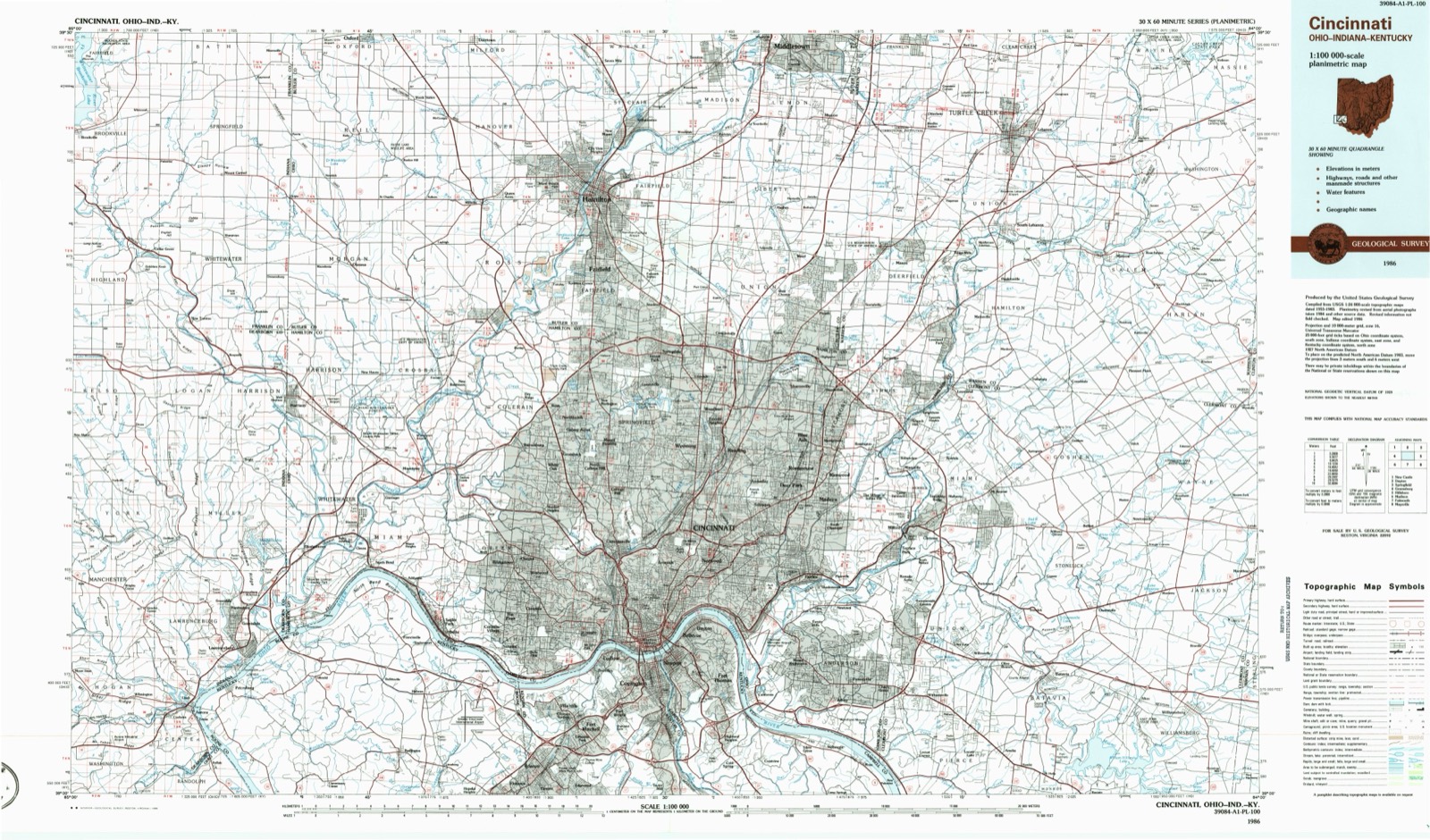
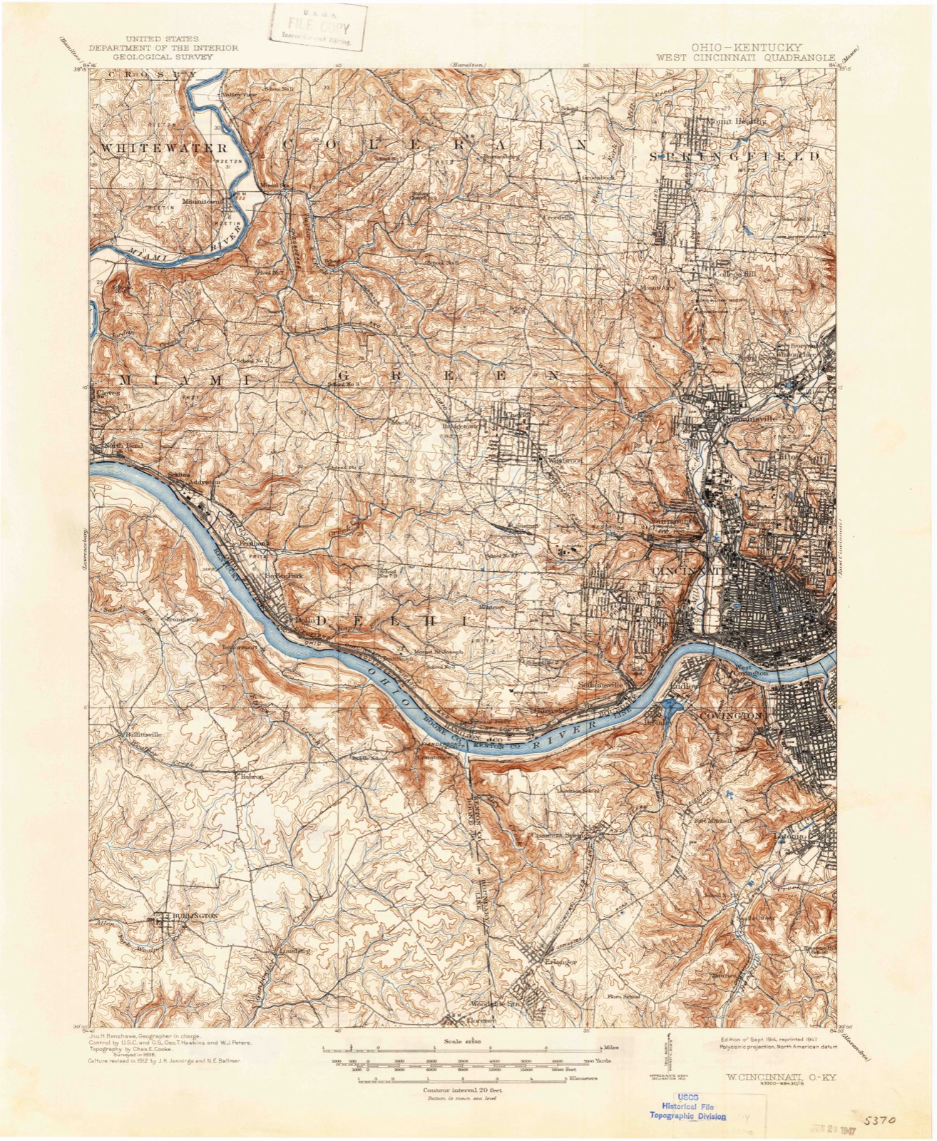
Then and now
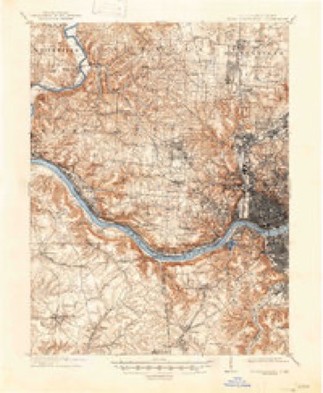
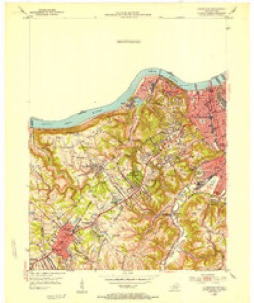
1914 to 1986The same ground, surveyed 72 years apart. Drag the handle to wipe between them. Both sheets are United States Geological Survey originals; neither has been altered.
On record in Over-The-Rhine
Buildings and businesses the archive holds for this place. Each opens its own page, with the source record it came from.
On the National Register within a mile 12 of 95 shown
The National Register names another town for these. They stand within one mile of this settlement's coordinate.
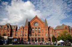 Cincinnati Music HallNational Historic Landmark · listed 1970 · 0.2 miles away
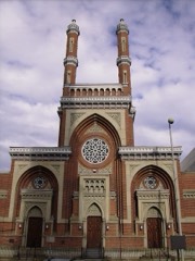 Plum Street TempleNational Historic Landmark · listed 1972 · 0.6 miles away
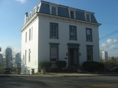 George Hunt Pendleton HouseNational Historic Landmark · listed 1966 · 0.6 miles away
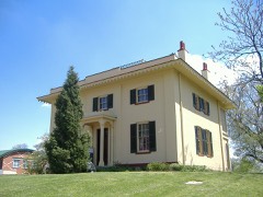 William Howard Taft National Historic SiteNational Historic Landmark · listed 1966 · 0.7 miles away
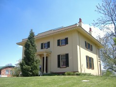 William Howard Taft National Historic Site (Boundary Increase and Additional Documentation)National Historic Landmark · listed 2015 · 0.7 miles away
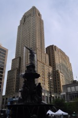 Carew TowerNational Historic Landmark · listed 1982 · 0.9 miles away
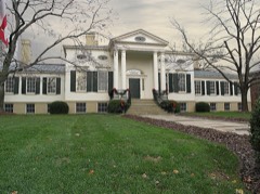 Taft MuseumNational Historic Landmark · listed 1973 · 0.9 miles away
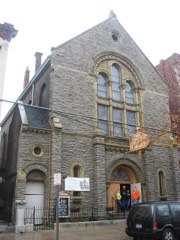 First German Methodist Episcopal Churchlisted 1980 · 0.1 miles away
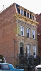 S. C. Mayer Houselisted 1980 · 0.2 miles away
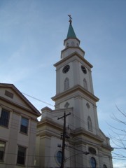 Old St. Mary's Church, School and Rectorylisted 1976 · 0.2 miles away
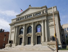 Hamilton County Memorial Buildinglisted 1978 · 0.3 miles away
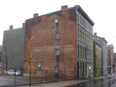 Sycamore-13th Street Groupinglisted 1982 · 0.3 miles away
Topographic sheets covering this place
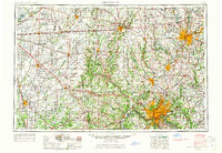
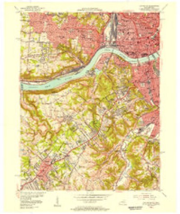
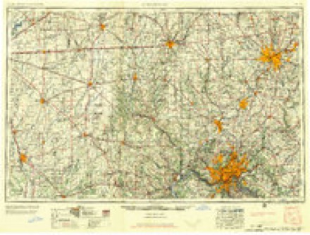
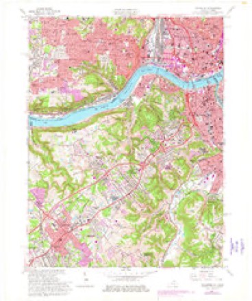
8 surveys from 18 printed sheetsMatched by testing this settlement's coordinate against the published boundary of every sheet in the United States Geological Survey's historical collection. Each opens the scanned sheet at the Survey.
- 1914 USGS West Cincinnati quadrangle1:62500, 4 printings
- 1950 USGS Covington quadrangle1:24000
- 1953 USGS Cincinnati quadrangle1:250000, 3 printings
- 1955 USGS Covington quadrangle1:24000
- 1957 USGS Cincinnati quadrangle1:250000
- 1961 USGS Covington quadrangle1:24000, 3 printings
- 1981 USGS Covington quadrangle1:24000, 2 printings
- 1986 USGS Cincinnati quadrangle1:100000, 3 printings
Photographs
1 photograph, 2016Taken for the Office of War Information and the Farm Security Administration, who photographed the country between 1935 and 1944. Works of United States government photographers, with no known restriction on use. Each opens its catalogue record.
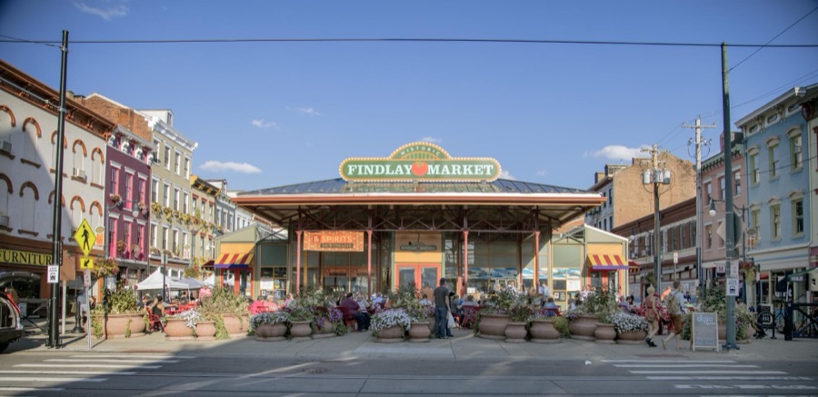
Highsmith, Carol M, 2016. Library of Congress
Specimens collected near this place
12 of 5,887 shownRegional context, not property-specific evidence. Museums hold 5,887 specimens collected within 10 miles of Over-The-Rhine between 1819 and 1975: 2,847 Fungi, 1,730 Animalia, 961 Plantae, 298 Protozoa, 32 Unrecorded, 18 Chromista, 1 Bacteria. 12 distinct Species records are shown. Collected by A Schwartz, A. Braun, A. F. Braun and others. Each is a physical object with a catalogue number, and each entry opens the museum's record. This is what was collected and kept, not a survey of what lives here - nothing can be concluded from a species being absent.
| Image | Species | Year | Collected by | Where, as recorded |
|---|---|---|---|---|
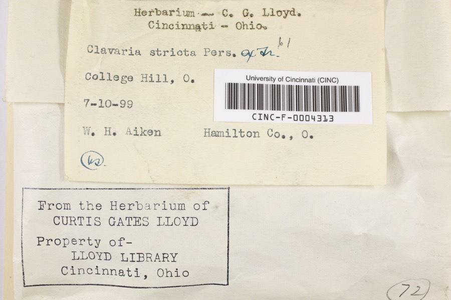 | Clavaria striata Pers. | 1899 | Aiken, Walter H. | College Hill |
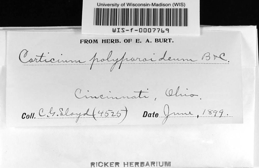 | Corticium polyporoideum Berk. & M.A.Curtis | 1899 | C.G. Lloyd | Cincinnati |
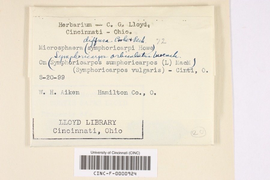 | Microsphaera diffusa Cooke & Peck | 1899 | Aiken, Walter H. | Cincinnati |
 | Quercus × leana Nutt. | 1819 | Thomas Nuttall | 3 miles North of Cincinnati |
 | Atrichum angustatum (Brid.) Bruch & Schimp. | 1820 | T. G. Lea | probably Cincinnatti |
 | Barbula unguiculata Hedw. | 1820 | T. G. Lea | probably Cincinnatti |
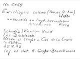 | Sebacina calcea (Pers.) Bres. | 1827 | Lloyd C. G. | Linwood |
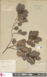 | Rhus venenata DC. | 1830 | Clark, Joseph | North of Cincinnati |
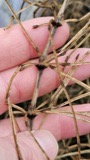 | Equisetum arvense L. | 1834 | Short, Charles Wilkins; Lea, Thomas G. | Cincinnati |
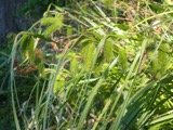 | Carex comosa Boott | 1835 | Collector unspecified | In citivate Ohio prope Cincinnati. [Inferred locality from precise loc.] |
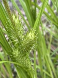 | Carex lupulina Muhl. ex Willd. | 1835 | Joseph C. Frank | Cincinnati. |
| Albugo candida (Pers. ex J.F.Gmel.) Roussel | 1897 | Kellerman, W.A. | College Hill |
All 5,887 specimens within 10 miles, at the Global Biodiversity Information Facility.
Mines and quarries near this place
2 within 5 milesRegional context, not property-specific evidence. The federal mineral resources record lists 2 workings within 5 miles of Over-The-Rhine: 2 unknowns. None of them still produces. What was taken out: Tin, Lead, Antimony, Zirconium. Distance is straight-line from the map coordinates, so a quarry counted here may appear on a neighbouring settlement's page as well.
| Where | Site | Commodity | Status | Recorded |
|---|---|---|---|---|
| Avril Co/ Cincinnati, Ohio | Tin, Lead, Antimony | Unknown | ||
| N L Industries/ Cincinnati, Ohio | Zirconium | Unknown |
Nearest settlements
The eight closest, with where each one stands in the county. Distances are straight-line, computed from the Geographic Names Information System coordinates.
| Map | Place | Distance | Sheets |
|---|---|---|---|
| Prospect Hill | 0.5 miles | 18 | |
| Cincinnati | 0.6 miles | 18 | |
| Laurel Homes | 0.6 miles | 18 | |
| Lincoln Court | 0.6 miles | 18 | |
| Jerusalem | 0.7 miles | 18 | |
| Little Bethlehem | 0.7 miles | 18 | |
| Bucktown (historical) | 0.7 miles | 18 | |
| Mount Auburn | 0.8 miles | 18 |
Provenance
This settlement is recorded in the Geographic Names Information System as feature 1059543. The sheet list is computed by point-in-boundary test against the United States Geological Survey's historical topographic inventory. Both are works of the United States government and carry no copyright under 17 U.S.C. 105.
Specimens. Global Biodiversity Information Facility (GBIF), https://www.gbif.org/. Only records licensed CC0 or CC BY are used. Records licensed CC BY-NC are excluded because this site carries advertising. Images are checked individually and any whose licence is non-commercial, no-derivatives or unreadable is refused.
Mines and quarries. USGS Mineral Resources Data System (MRDS) https://mrdata.usgs.gov/mrds/ A work of the United States government, no copyright under 17 U.S.C. 105.