 Block
Block
Parkview, Ohio
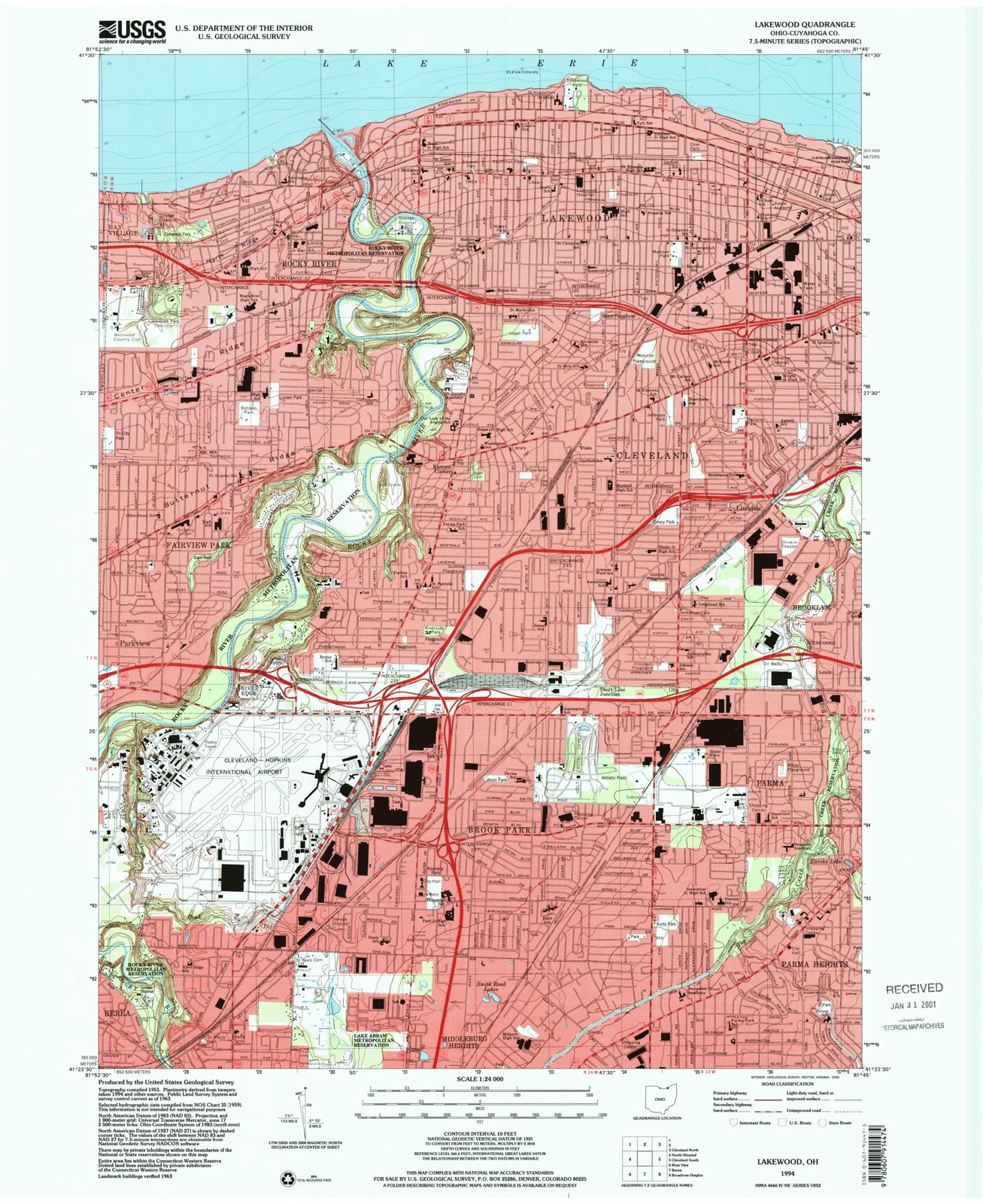
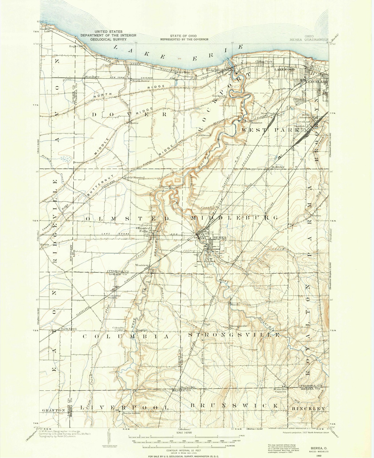
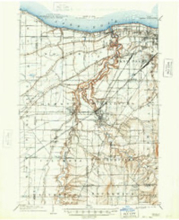
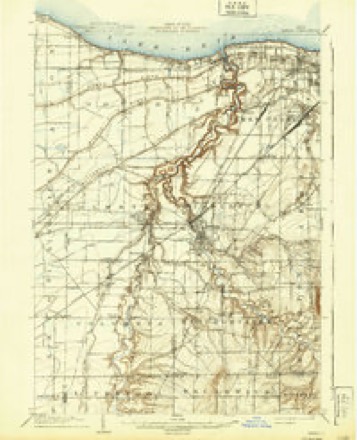
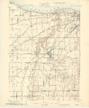
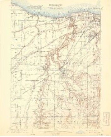
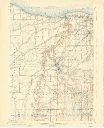
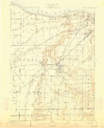
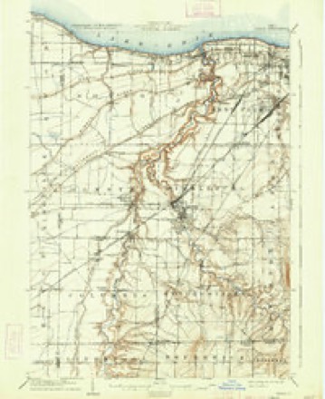
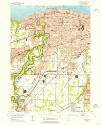
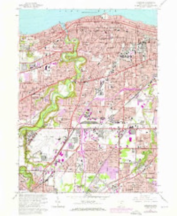
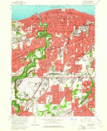
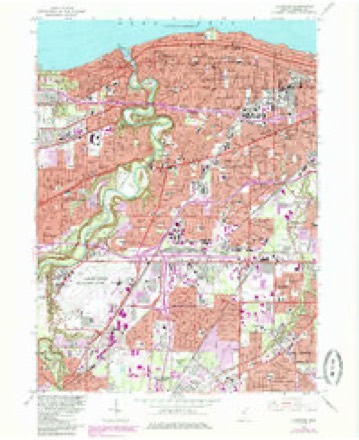
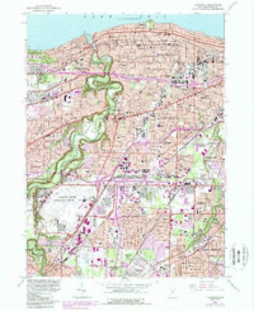
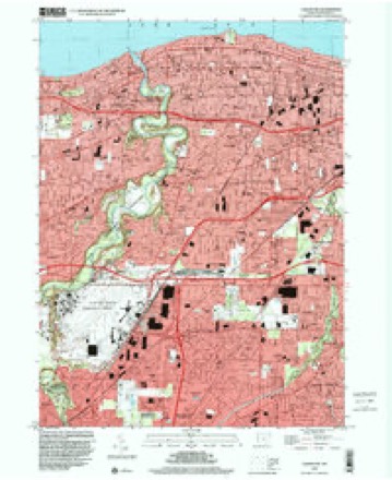
21 topographic sheets cover this place, the earliest surveyed in 1902 and the latest in 1994. It stands in Fairview Park City. It lies in ZIP code area 44126. It stands on Abram Creek. The Survey maps it on the Lakewood quadrangle.
Then and now
1902 to 1994The same ground, surveyed 92 years apart. Drag the handle to wipe between them. Both sheets are United States Geological Survey originals; neither has been altered.
Compare 1902 against another survey:
Topographic sheets covering this place
21 sheetsMatched by testing this settlement's coordinate against the published boundary of every sheet in the United States Geological Survey's historical collection. Each opens the scanned sheet at the Survey.
- 1902 USGS Berea quadrangle1:62500
- 1902 USGS Berea quadrangle1:62500
- 1904 USGS Berea quadrangle1:62500
- 1904 USGS Berea quadrangle1:62500
- 1904 USGS Berea quadrangle1:62500
- 1904 USGS Berea quadrangle1:62500
- 1904 USGS Berea quadrangle1:62500
- 1904 USGS Berea quadrangle1:62500
- 1904 USGS Berea quadrangle1:62500
- 1953 USGS Lakewood quadrangle1:24000
- 1956 USGS Cleveland quadrangle1:250000
- 1956 USGS Cleveland quadrangle1:250000
- 1956 USGS Cleveland quadrangle1:250000
- 1962 USGS Cleveland quadrangle1:250000
- 1963 USGS Lakewood quadrangle1:24000
- 1963 USGS Lakewood quadrangle1:24000
- 1963 USGS Lakewood quadrangle1:24000
- 1963 USGS Lakewood quadrangle1:24000
- 1986 USGS Cleveland South quadrangle1:100000
- 1994 USGS Cleveland South quadrangle1:100000
- 1994 USGS Lakewood quadrangle1:24000






Specimens collected nearby
12 of 1,113 shownMuseums hold 1,113 specimens collected within 10 miles of Parkview between 1849 and 1975: 992 Animalia, 79 Plantae, 33 Fungi, 8 Protozoa, 1 Unrecorded. 12 distinct Species records are shown. Collected by A. D. Huryn, A. D. Selby, A. G. Newhall and others. Each is a physical object with a catalogue number, and each entry opens the museum's record. This is what was collected and kept, not a survey of what lives here - nothing can be concluded from a species being absent.
| Image | Species | Year | Collected by | Where, as recorded |
|---|---|---|---|---|
 | Osmunda claytoniana L. | 1894 | Winkler, H.J. | Cleveland. |
 | Camptosorus rhizophyllus (L.) Link | 1895 | Ashcraft, G.B. | Berea |
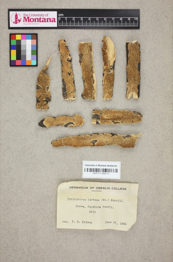 | Irpiciporus lacteus (Fr.) Murrill | 1895 | F. D. Kelsey | Berea. |
 | Setophaga americana (Linnaeus, 1758) | 1849 | Jared P. Kirtland | Rockport |
 | Melanerpes carolinus (Linnaeus, 1758) | 1854 | Robert Kennicott | Cleveland |
 | Eremophila alpestris praticola (Henshaw, 1884) | 1877 | A. Hall | East Rockport |
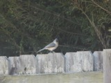 | Baeolophus bicolor (Linnaeus, 1766) | 1879 | Willard G. Van Name | East Rockport |
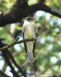 | Contopus virens (Linnaeus, 1766) | 1879 | A. Hull | East Rockport |
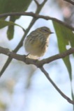 | Setophaga tigrina (J.F.Gmelin, 1789) | 1879 | A. Hall | East Rockport |
 | Astur Lacepède, 1799 | 1880 | A. Hall | East Rockport |
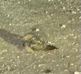 | Caprimulgus vociferus vociferus A.Wilson, 1812 | 1880 | A. Hall | East Rockport |
| Calidris alpina (Linnaeus, 1758) | 1890 | Saunders, F.A. | LOCNM: Rondeau |
All 1,113 specimens within 10 miles, at the Global Biodiversity Information Facility.
Storms nearby
2 since 2020The National Weather Service names Parkview in 2 storm reports between 2020 and 2024: 1 flash flood, 1 thunderstorm wind. No death or injury is recorded in these reports. Each account below is quoted exactly as the forecast office filed it, from the NOAA Storm Events Database, and each date opens the federal record of that event.
| When | Event | Place named | Harm | What the report says |
|---|---|---|---|---|
| August 2024 | Thunderstorm Wind | Parkview | $10,000 | Large tree branch downed onto house in Fairview Park, near Mastick and Brookpark Roads. |
| October 2020 | Flash Flood | Parkview | $2,000 | North Olmsted Police conducted a water rescue along the Rocky River at Cedar Point Road and Valley Parkway in North Olmsted as fast moving hood-deep water surrounded the motorist. |
Nearest settlements
The eight closest, with where each one stands in the county. Distances are straight-line, computed from the Geographic Names Information System coordinates.
| Map | Place | Distance | Sheets |
|---|---|---|---|
| Fairview Park | 0.9 miles | 21 | |
| River Edge | 1.2 miles | 21 | |
| Quail Hollow | 1.7 miles | 21 | |
| Stonehedge | 1.7 miles | 21 | |
| Pebblebrook | 1.8 miles | 21 | |
| Meadow Lane | 1.8 miles | 21 | |
| Circlewood | 1.9 miles | 21 | |
| Westwood Acres | 2.0 miles | 21 |
Provenance
This settlement is recorded in the Geographic Names Information System as feature 1049061. The sheet list is computed by point-in-boundary test against the United States Geological Survey's historical topographic inventory. Both are works of the United States government and carry no copyright under 17 U.S.C. 105.
Specimens. Global Biodiversity Information Facility (GBIF), https://www.gbif.org/. Only records licensed CC0 or CC BY are used. Records licensed CC BY-NC are excluded because this site carries advertising. Images are checked individually and any whose licence is non-commercial, no-derivatives or unreadable is refused.
Storms. NOAA National Centers for Environmental Information, Storm Events Database https://www.ncei.noaa.gov/stormevents/ A work of the United States government, no copyright under 17 U.S.C. 105. Narratives are quoted verbatim from the National Weather Service report and are not edited or summarised.