 Block
Block
Pioneer, Ohio
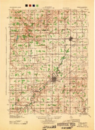
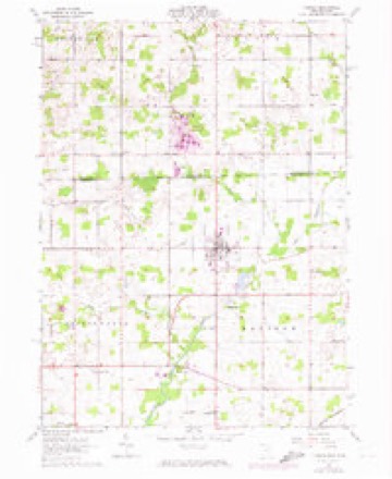
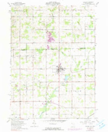
14 topographic sheets cover this place, the earliest surveyed in 1914 and the latest in 1990. It stands in Madison Township. It lies in ZIP code area 43554. It stands on Clear Fork. The Survey maps it on the Pioneer quadrangle. 1,429 people lived here at the 2020 count. It stands 879 feet above sea level.
Population over time
2 figuresPioneer grew from 1,380 to 1,429 between 2010 and 2020. These are the recorded population figures Wikidata holds for this place, reached through the Geographic Names Information System number this page is keyed on rather than by name, so they belong to this place and not to another of the same name. Most are census counts, but not all are: an early figure may be a founding or settlement estimate. The change column is computed, and is left blank where more than 20 years separate a figure from the one before it, because a gap that long is not a change between two counts.
| Year | People | Change |
|---|---|---|
| 2010 | 1,380 | |
| 2020 | 1,429 | +49 (+4%) |
Then and now
1914 to 1990The same ground, surveyed 76 years apart. Drag the handle to wipe between them. Both sheets are United States Geological Survey originals; neither has been altered.
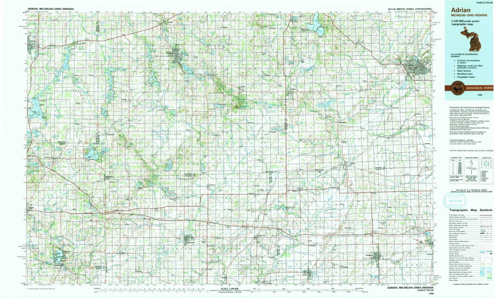
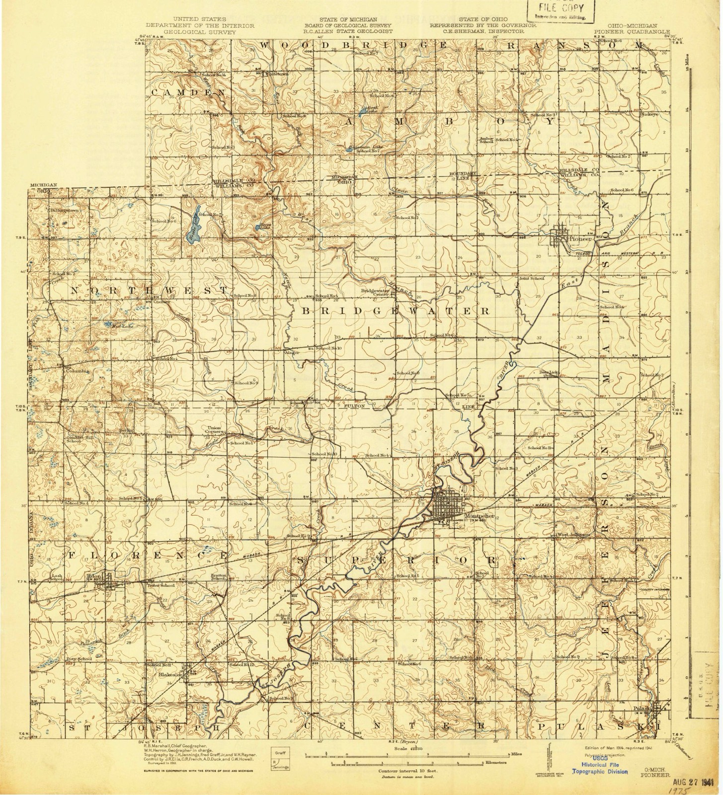
Topographic sheets covering this place
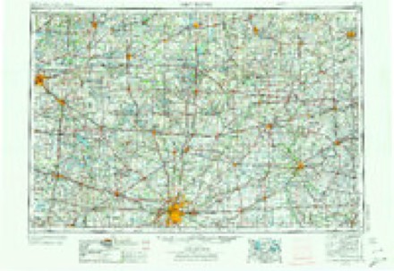
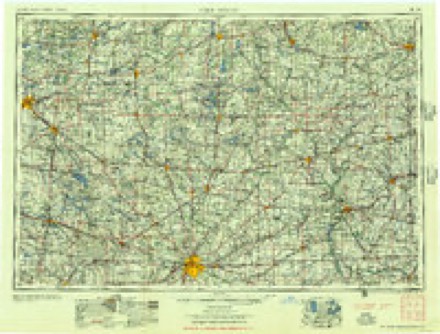
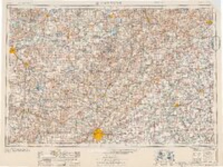
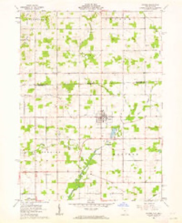
14 sheetsMatched by testing this settlement's coordinate against the published boundary of every sheet in the United States Geological Survey's historical collection. Each opens the scanned sheet at the Survey.
- 1914 USGS Pioneer quadrangle1:62500
- 1914 USGS Pioneer quadrangle1:62500
- 1944 USGS Pioneer quadrangle1:62500
- 1953 USGS Fort Wayne quadrangle1:250000
- 1953 USGS Fort Wayne quadrangle1:250000
- 1953 USGS Fort Wayne quadrangle1:250000
- 1953 USGS Fort Wayne quadrangle1:250000
- 1956 USGS Fort Wayne quadrangle1:250000
- 1956 USGS Fort Wayne quadrangle1:250000
- 1961 USGS Pioneer quadrangle1:24000
- 1961 USGS Pioneer quadrangle1:24000
- 1961 USGS Pioneer quadrangle1:24000
- 1985 USGS Adrian quadrangle1:100000
- 1990 USGS Adrian quadrangle1:100000
In the county-history sources
24,412 words on this townshipThe County of Williams : a History of Williams County, Ohio, from the Earliest Days, with Special Chapters on Various Subjects, Including Each of the Different Townships ; Also a Biographical Department, published 1905 names this settlement in its chapter on Madison Township. These are the passages that mention it, exactly as the scans read.
The primitive saw-mills of pioneer days were erected as necessity demanded, and, being inexpensive in construction, they were abandoned when neighborhood needs were supplied. In 1852 or 1853, a Mr. Kirkendall and Jacob Dohm built a saw-mill on the river a short distance east of Pioneer, securing a fall of about five feet by extending the race across a bend of the stream. Kirkendall retained his interest only a short time and then sold to Dohm, who owned and conducted the mill many years, at times doing a splendid business. It remained a water mill while in operation and the old race is still visible. The dam was destroyed by order of court, as it had become a nuisance, but the old building stood for years, silent and deserted. In 1854.
Passage source: The County of Williams : a History of Williams County, Ohio, from the Earliest Days, with Special Chapters on Various Subjects, Including Each of the Different Townships ; Also a Biographical Department, published 1905.
Philetus W. Norris built a grist-mill and a saw-mill at Pioneer, operating both with one engine, and placing in the former two sets of buhrs. After the saw-mill had been in operation some ten years it was destroyed by fire, but the grist-mill continued in operation and was the predecessor of the Phoenix Flouring Mills of Pioneer. In 1862. George R. Jov built a saw-mill and did good and profitable work with it until lie disposed of it, and it finally became the property of Emery Sibley & Co. Snowdon & Schenk erected a tannery at Pioneer, about 1867, sinking some ten or twelve vats, but the property changed hands many times and finally discontinued.
Passage source: The County of Williams : a History of Williams County, Ohio, from the Earliest Days, with Special Chapters on Various Subjects, Including Each of the Different Townships ; Also a Biographical Department, published 1905.
In 1852, the Methodist Episcopal class at Pioneer was organized, in the old school house, with some six or eight members. The class grew stronger under the impulse of stirring revivals, and, in 1859-60, was strong enough to build a frame church, which was used constantly until succeeded by a fine brick structure. This is the strongest class in the township, and its excellent influence is felt over a large section of country. The United Brethren class at Pioneer was first organized a short time after the Methodists started their organization, and the first class consisted, it is said, of twelve members. The church was built in i860. In April, 1870, the Baptist class at Pioneer was organized, and a church was erected by them in 1881-82.
Passage source: The County of Williams : a History of Williams County, Ohio, from the Earliest Days, with Special Chapters on Various Subjects, Including Each of the Different Townships ; Also a Biographical Department, published 1905.
Machine-read from a century-old scan, so expect the errors a machine makes: misspelled names, dropped words, stray characters.
Read the whole chapter on Madison Township - it names this place 5 more 5 times.
Fires near this place
1 since 2019Regional context, not property-specific evidence. The federal wildfire occurrence database lists 1 fire within 5 miles of Pioneer between 2019 and 2019, burning about 1 acres in total. None started naturally. None was recorded as arson. Distance is straight-line from the map coordinates, so a fire counted here may appear on a neighbouring settlement's page as well.
| Reported cause | Fires |
|---|---|
| Missing data/not specified/undetermined | 1 |
The most recent of them, most recent first, with the day each was reported and the service that recorded it.
| Date | Cause | Size | Reported by | Name on the report |
|---|---|---|---|---|
| 17 April 2019 | Missing data/not specified/undetermined | 1.0 acres | Michigan Department of Natural Resources | WRIGHT-WALDRON FIRE & AMBULANCE 0000138 - 2019 |
Settlements close enough to share some of these fires:
Specimens collected near this place
12 of 257 shownRegional context, not property-specific evidence. Museums hold 257 specimens collected within 10 miles of Pioneer between 1926 and 1974: 257 Animalia. 12 distinct Species records are shown. Collected by Adler, K. K., Barnes, T. N., Bauer, L. and others. Each is a physical object with a catalogue number, and each entry opens the museum's record. This is what was collected and kept, not a survey of what lives here - nothing can be concluded from a species being absent.
| Image | Species | Year | Collected by | Where, as recorded |
|---|---|---|---|---|
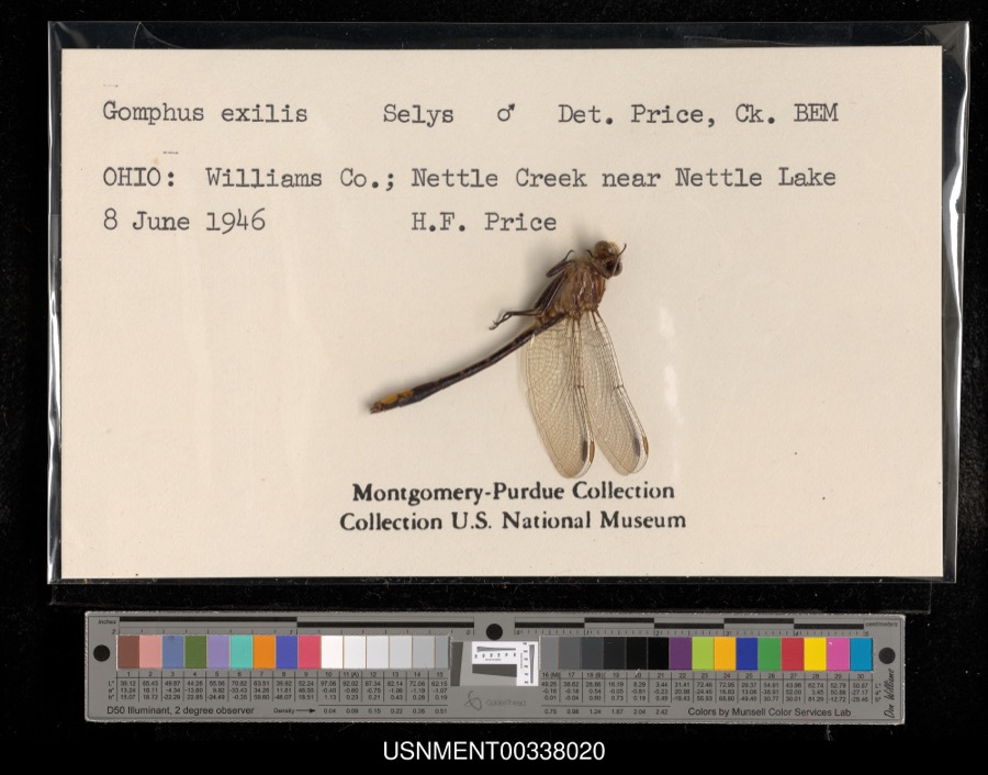 | Gomphus exilis Selys, 1854 | 1946 | H. Price | Nettle Creek near Nettle Lake |
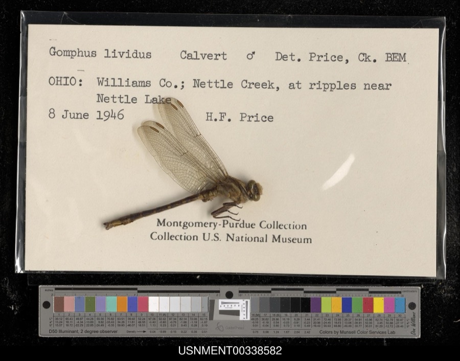 | Gomphus lividus Selys, 1854 | 1946 | H. Price | Nettle Creek, at ripples near Nettle Lake |
 | Sciurus niger Linnaeus, 1758 | 1926 | Collector(s): unknown | No specific locality recorded |
 | Sturnus vulgaris Linnaeus, 1758 | 1927 | Price, H. (Homer) | Evansport, Williams, Ohio, USA |
 | Campostoma anomalum anomalum | 1929 | Trautman, M. B. (Milton Bernard) | Mill Creek, within Ex east Mill Creek township, near Alvordton, Mill Creek township |
 | Catostomus commersonii (Lacepède, 1803) | 1929 | Trautman, M. B. (Milton Bernard) | Nettle Creek, at inlet to Nettle Lake in Northwest township, 4.7 mi S of Camden, Northwest township |
 | Chaenobryttus gulosus (Cuvier, 1829) | 1929 | Trautman, M. B. (Milton Bernard) | Nettle Lake, Northwest township, ~5.4 mi SE of Camden, Northwest township |
 | Erimyzon sucetta kennerlii (Girard, 1856) | 1929 | Trautman, M. B. (Milton Bernard) | Nettle Lake, Northwest township, ~5.4 mi SE of Camden, Northwest township |
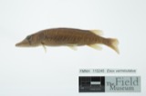 | Esox vermiculatus Lesueur, 1846 | 1929 | Trautman, M. B. (Milton Bernard) | Nettle Lake, Northwest township, ~5.4 mi SE of Camden, Northwest township |
 | Etheostoma microperca Jordan & Gilbert, 1888 | 1929 | Trautman, M. B. (Milton Bernard) | Nettle Lake, Northwest township, ~5.4 mi SE of Camden, Northwest township |
 | Etheostoma nigrum Rafinesque, 1820 | 1929 | MB Trautman | Nettle Lake, northern northwest township |
 | Etheostoma spectabile (Agassiz, 1854) | 1929 | Trautman, M. B. (Milton Bernard) | Nettle Creek, at inlet to Nettle Lake in Northwest township, 4.7 mi S of Camden, Northwest township |
All 257 specimens within 10 miles, at the Global Biodiversity Information Facility.
Mines and quarries near this place
1 within 5 milesRegional context, not property-specific evidence. The federal mineral resources record lists 1 working within 5 miles of Pioneer: 1 past producer. None of them still produces. What was taken out: Sand and Gravel, Construction. Distance is straight-line from the map coordinates, so a quarry counted here may appear on a neighbouring settlement's page as well.
| Where | Site | Commodity | Status | Recorded |
|---|---|---|---|---|
| Pioneer Sand and Gravel Pit | Sand and Gravel, Construction | Past Producer |
Storms near this place
12 since 1998Regional context, not property-specific evidence. The National Weather Service names Pioneer in 12 storm reports between 1998 and 2023: 9 thunderstorm wind, 3 hail. No death or injury is recorded in these reports. Each account below is quoted exactly as the forecast office filed it, from the NOAA Storm Events Database, and each date opens the federal record of that event.
| When | Event | Place named | Harm | What the report says |
|---|---|---|---|---|
| June 2007 | Thunderstorm Wind | Pioneer | $20,000 | Trees were reported down in and around Pioneer. A few trees fell onto vehicles trapping the occupants. No injuries were reported. |
| June 2023 | Thunderstorm Wind | Pioneer | $1,000 | Several 3 to 8 inch diameter trees limb downed. |
| July 2023 | Hail | Pioneer | - | Photos on Facebook of several quarter size hailstones. |
| April 2017 | Thunderstorm Wind | Pioneer | - | Local newspapers reported a few down power lines. |
| August 2015 | Thunderstorm Wind | Pioneer | - | Emergency management officials reported a large maple tree limb, at least a foot in diameter, broke and well onto a truck. |
| September 2014 | Thunderstorm Wind | Pioneer | - | Local officials reported several trees were blown down onto power lines in the area. |
| June 2010 | Thunderstorm Wind | Pioneer | - | Law enforcement officials reported a tree being blown down onto a vehicle. No damage estimates were available. |
| June 2004 | Thunderstorm Wind | Pioneer | - | Law enforcement reported several trees and power lines down in Pioneer. |
| July 2003 | Thunderstorm Wind | Pioneer | - | Law enforcement reported trees down near Pioneer. |
| August 2000 | Thunderstorm Wind | Pioneer | - | no account filed |
| July 1999 | Hail | Pioneer | - | no account filed |
| August 1998 | Hail | Pioneer | - | no account filed |
Nearest settlements
The eight closest, with where each one stands in the county. Distances are straight-line, computed from the Geographic Names Information System coordinates.
| Map | Place | Distance | Sheets |
|---|---|---|---|
| Jim Town | 3.6 miles | 14 | |
| Greyhound | 4.0 miles | 14 | |
| Kunkle | 4.3 miles | 14 | |
| Bridgewater Center | 4.4 miles | 14 | |
| Deer Lick (historical) | 4.5 miles | 13 | |
| Lake Seneca | 4.9 miles | 14 | |
| Holiday City | 4.9 miles | 13 | |
| Primrose | 6.2 miles | 14 |
Elsewhere
Matched on this settlement's Geographic Names Information System number rather than its name, so it cannot be a different place of the same name in another state.
| Wikipedia article on Pioneer | An encyclopaedic summary. Its text is share-alike, so it is linked here rather than copied. |
| Wikidata item Q1660505 | The structured record the population and elevation above come from. Public domain (CC0). |
Provenance
This settlement is recorded in the Geographic Names Information System as feature 1044482. The sheet list is computed by point-in-boundary test against the United States Geological Survey's historical topographic inventory. Both are works of the United States government and carry no copyright under 17 U.S.C. 105.
Wildfire. Short, Karen C. 2022. Spatial wildfire occurrence data for the United States, 1992-2020 [FPA_FOD_20221014]. 6th Edition. Fort Collins, CO: Forest Service Research Data Archive. https://doi.org/10.2737/RDS-2013-0009.6 Collected with United States Government funding and usable without additional permissions or fees.
Specimens. Global Biodiversity Information Facility (GBIF), https://www.gbif.org/. Only records licensed CC0 or CC BY are used. Records licensed CC BY-NC are excluded because this site carries advertising. Images are checked individually and any whose licence is non-commercial, no-derivatives or unreadable is refused.
Mines and quarries. USGS Mineral Resources Data System (MRDS) https://mrdata.usgs.gov/mrds/ A work of the United States government, no copyright under 17 U.S.C. 105.
Storms. NOAA National Centers for Environmental Information, Storm Events Database https://www.ncei.noaa.gov/stormevents/ A work of the United States government, no copyright under 17 U.S.C. 105. Narratives are quoted verbatim from the National Weather Service report and are not edited or summarised.