 Block
Rakeville, Massachusetts
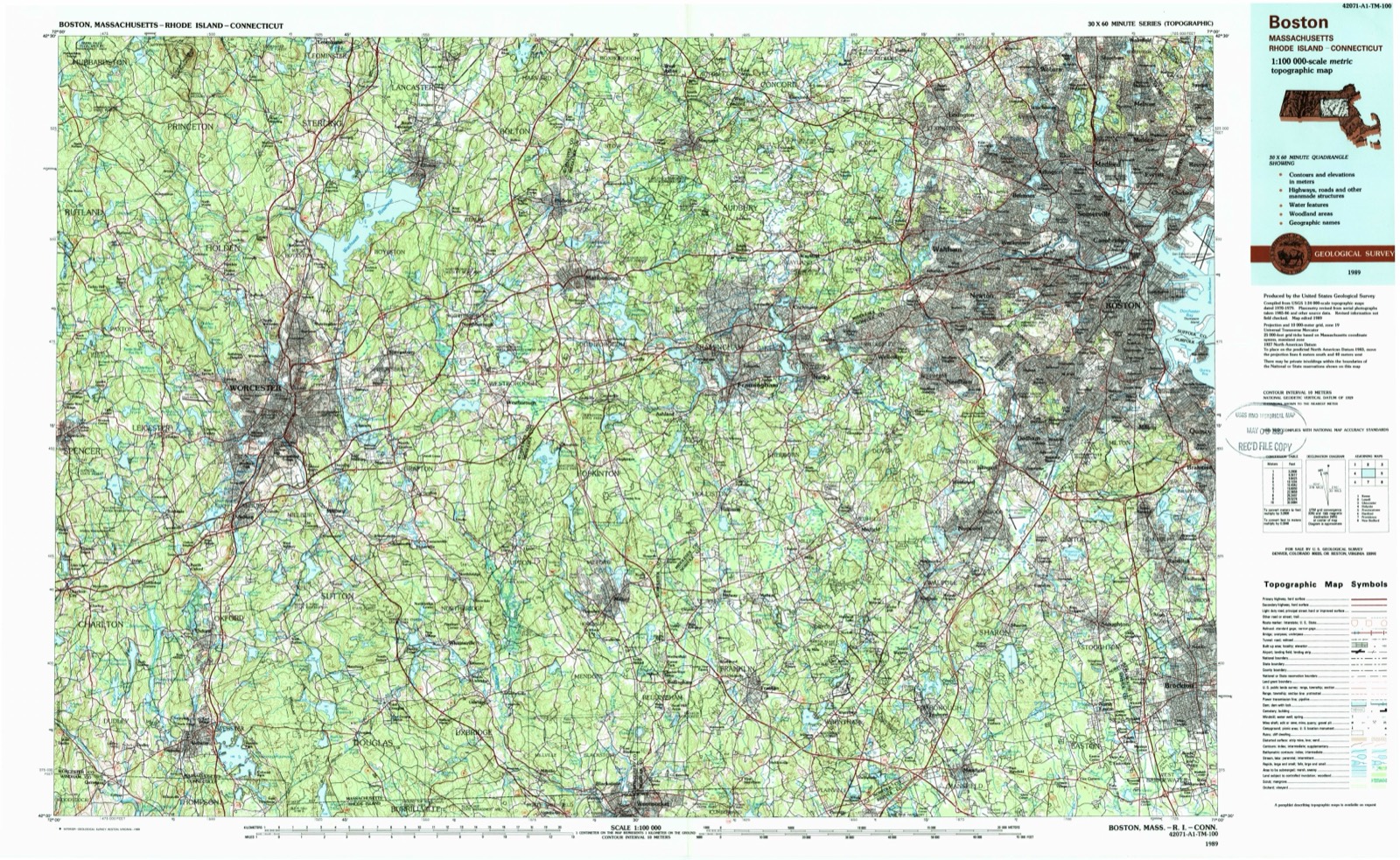
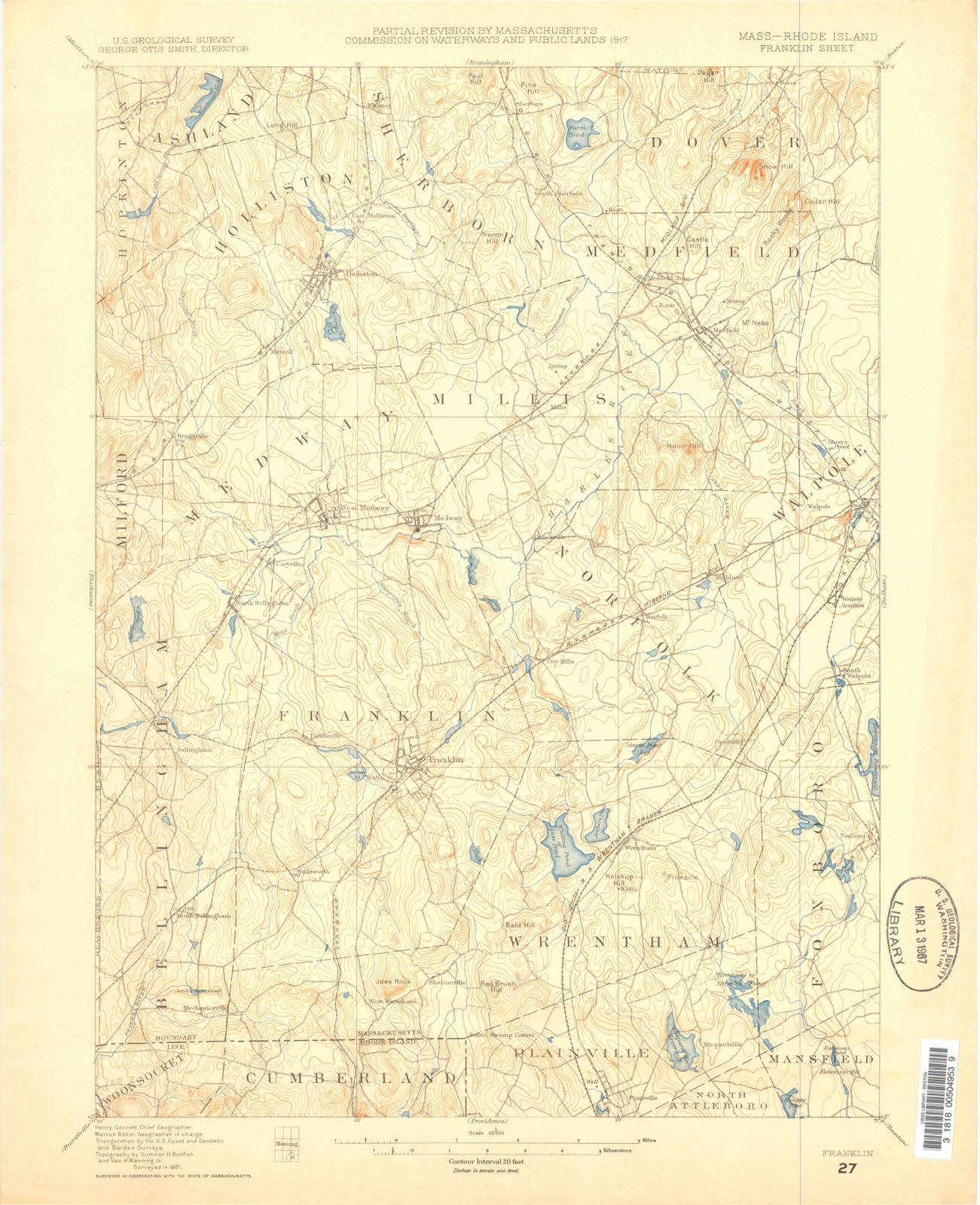
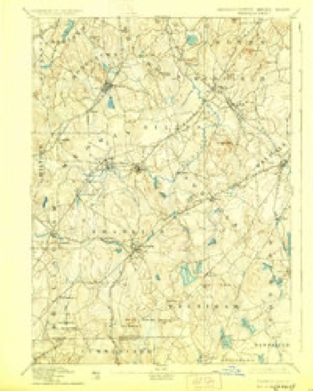
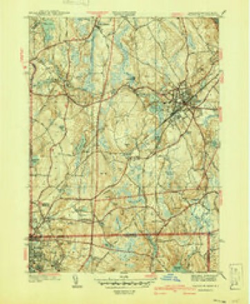
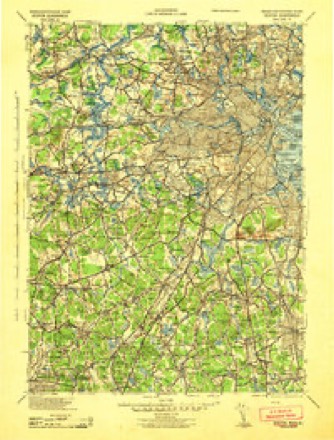
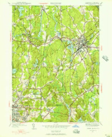
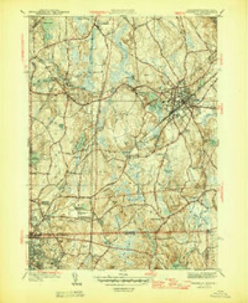
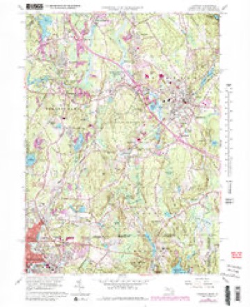
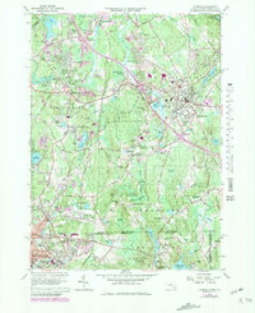
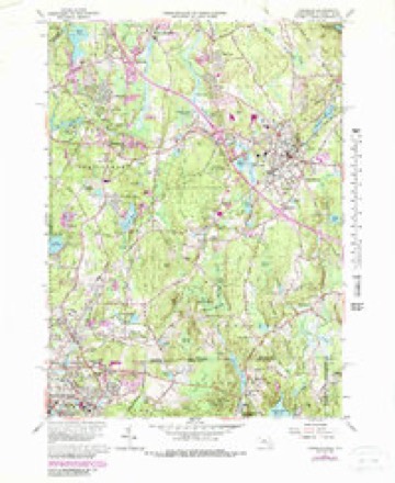
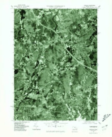
44 topographic sheets cover this place, the earliest surveyed in 1887 and the latest in 1989. It stands in Bellingham town. It lies in ZIP code area 02019. It stands on Bungay Brook. The Survey maps it on the Franklin quadrangle.
Then and now
1887 to 1989The same ground, surveyed 102 years apart. Drag the handle to wipe between them. Both sheets are United States Geological Survey originals; neither has been altered.
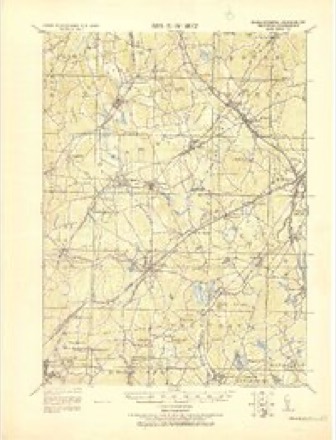
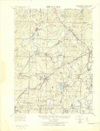
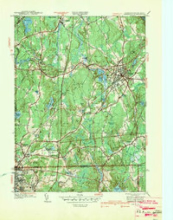
Topographic sheets covering this place
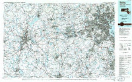
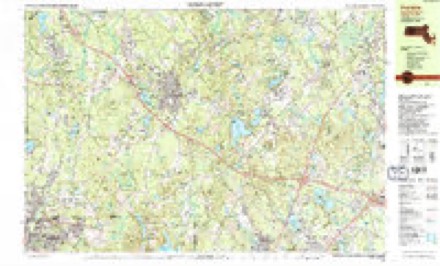
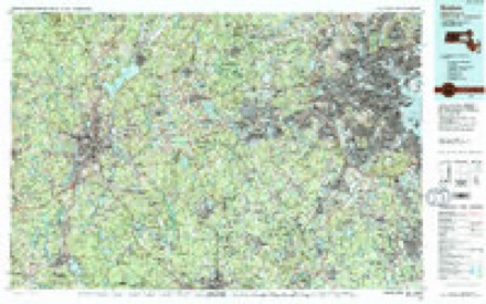
21 surveys from 44 printed sheetsMatched by testing this settlement's coordinate against the published boundary of every sheet in the United States Geological Survey's historical collection. Each opens the scanned sheet at the Survey.
- 1887 USGS Franklin quadrangle1:62500
- 1889 USGS Franklin quadrangle1:62500
- 1893 USGS Franklin quadrangle1:62500, 8 printings
- 1919 USGS Franklin quadrangle1:62500, 2 printings
- 1921 USGS Franklin quadrangle1:62500
- 1939 USGS Franklin quadrangle1:31680
- 1940 USGS Franklin quadrangle1:31680, 2 printings
- 1943 USGS Boston quadrangle1:125000
- 1945 USGS Franklin quadrangle1:24000
- 1946 USGS Franklin quadrangle1:31680, 3 printings
- 1948 USGS Boston quadrangle1:250000, 2 printings
- 1956 USGS Boston quadrangle1:250000, 6 printings
- 1958 USGS Boston quadrangle1:250000, 2 printings
- 1961 USGS Boston quadrangle1:250000, 2 printings
- 1964 USGS Franklin quadrangle1:24000, 3 printings
- 1964 USGS Franklin quadrangle1:25000
- 1965 USGS Franklin quadrangle1:25000
- 1977 USGS Franklin quadrangle1:25000
- 1985 USGS Boston quadrangle1:100000
- 1987 USGS Franklin quadrangle1:25000, 2 printings
- 1989 USGS Boston quadrangle1:100000, 2 printings
In the county-history sources
10,816 words on this townshipHistory of Norfolk County, Massachusetts, with Biographical Sketches of Many of Its Pioneers and Prominent Men, published 1884 names this settlement in its chapter on Bellingham Town. These are the passages that mention it, exactly as the scans read.
As crows previously became so far a nuisance as to demand a bounty, so this year a bounty of twentyfive cents was allowed on woodchucks. In November the town so far relented as to allow, for the first time, the leasing of the town hall for " public entertainments of a moral nature." In the same month, after an uninterrupted and persistent effort to choose a representative for the next year, the idea was finally abandoned, and no choice was made. The Charles River Railroad being agitated, and the town recognizing the benefit naturally derived from direct communication with Boston, resolved, in 1849, - fare of this town to have the Charles River Railroad extended to the State line, near the village of Woonsocket, in the State of Rhode Island, and the town in its co-operative capacity does most earnestly pray that the said railroad may be chartered agreeably to the report of the committee on railroads and canals which is now before the honorable Senate on its final passage, as the passage of the bill chartering said railroad would be the means of building it, and thus opening a communication by railroad to the inhabitants of Bellingham not only with Boston, but with Woonsocket and Providence, in the State of Rhode Island, and with the city of New York." tion was made for the town hall for a dance, and the town considered the request, as it '' Voted that the town let the town hall for all good and lawful dances." In 1856, Martin Rockwood was sent to the General Court, and during the next year Ruel F. Thayer In 1858, Horace Rockwood In 1858 our present tax collector came to light in the same official position _which he has held for a long term of years, with
Passage source: History of Norfolk County, Massachusetts, with Biographical Sketches of Many of Its Pioneers and Prominent Men, published 1884.
Machine-read from a century-old scan, so expect the errors a machine makes: misspelled names, dropped words, stray characters.
Read the whole chapter on Bellingham Town - it names this place 1 more 1 time.
Fires near this place
104 since 2003Regional context, not property-specific evidence. The federal wildfire occurrence database lists 104 fires within 5 miles of Rakeville between 2003 and 2020, burning about 62 acres in total. None started naturally. 21 were recorded as arson. Distance is straight-line from the map coordinates, so a fire counted here may appear on a neighbouring settlement's page as well.
| Reported cause | Fires |
|---|---|
| Missing data/not specified/undetermined | 32 |
| Arson/incendiarism | 21 |
| Recreation and ceremony | 21 |
| Debris and open burning | 17 |
| Smoking | 7 |
| Equipment and vehicle use | 3 |
| Power generation/transmission/distribution | 1 |
| Misuse of fire by a minor | 1 |
| Railroad operations and maintenance | 1 |
The most recent of them, most recent first, with the day each was reported and the service that recorded it.
| Date | Cause | Size | Reported by | Name on the report |
|---|---|---|---|---|
| 8 September 2018 | Debris and open burning | under an acre | Massachusetts Bureau of Forest Fire Control | not named |
| 4 September 2015 | Recreation and ceremony | under an acre | Rhode Island Division of Forest Environment | not named |
| 25 September 2015 | Recreation and ceremony | under an acre | Massachusetts Bureau of Forest Fire Control | PLAINVILLE |
| 23 September 2015 | Recreation and ceremony | 2.0 acres | Rhode Island Division of Forest Environment | not named |
| 22 September 2015 | Missing data/not specified/undetermined | 4.0 acres | Rhode Island Division of Forest Environment | not named |
| 21 September 2020 | Missing data/not specified/undetermined | under an acre | Massachusetts Bureau of Forest Fire Control | not named |
| 21 September 2020 | Missing data/not specified/undetermined | 1.4 acres | Massachusetts Bureau of Forest Fire Control | not named |
| 17 September 2016 | Missing data/not specified/undetermined | under an acre | Massachusetts Bureau of Forest Fire Control | FRANKLIN |
Settlements close enough to share some of these fires:
Specimens collected near this place
12 of 182 shownRegional context, not property-specific evidence. Museums hold 182 specimens collected within 10 miles of Rakeville between 1843 and 1973: 89 Animalia, 72 Plantae, 19 Fungi, 2 Unrecorded. 12 distinct Species records are shown. Collected by A Herz, A. B. Seymour, A. R. Hodgdon and others. Each is a physical object with a catalogue number, and each entry opens the museum's record. This is what was collected and kept, not a survey of what lives here - nothing can be concluded from a species being absent.
| Image | Species | Year | Collected by | Where, as recorded |
|---|---|---|---|---|
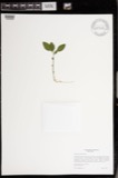 | Polygala paucifolia Willd. | 1843 | Shore | Woonsocket |
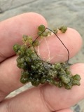 | Nitella tenuissima (Desv.) Kütz. | 1874 | Piper, S. M. | |
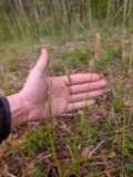 | Carex vestita Willd. | 1875 | Collector unspecified | Norfolk. |
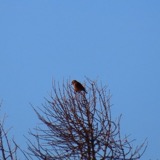 | Loxia curvirostra minor (C.L.Brehm, 1846) | 1877 | Charles A. Houghton | West Medway |
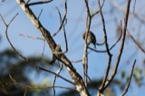 | Passerina cyanea (Linnaeus, 1766) | 1877 | Charles A. Houghton | West Medway |
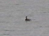 | Podiceps auritus cornutus (J.F.Gmelin, 1789) | 1881 | Daniel Duncan | West Medway |
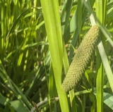 | Acorus americanus (Raf.) Raf. | 1884 | Nathaniel T. Kidder | Charles River, above Medfield |
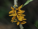 | Gymnosporangium clavariiforme (Wulfen) DC. | 1885 | A. B. Seymour | |
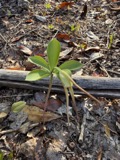 | Isotria verticillata (Muhl. ex Willd.) Raf. | 1885 | Puffer | Bellingham |
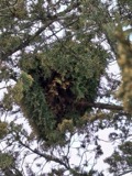 | Gymnosporangium nidus-avis Thaxt. | 1891 | A.B. Seymour | |
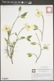 | Benthamidia florida (L.) Spach | 1893 | not recorded | |
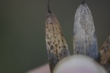 | Diaporthe Nitschke, 1870 | 1893 | E. A. Burt |
All 182 specimens within 10 miles, at the Global Biodiversity Information Facility.
Mines and quarries near this place
10 of 18 shownRegional context, not property-specific evidence. The federal mineral resources record lists 18 workings within 5 miles of Rakeville: 11 past producers, 3 prospects, 2 occurrences, 1 producer. 1 still produces. What was taken out: Sand and Gravel, Construction, Iron, Copper, Silver, Gold. Distance is straight-line from the map coordinates, so a quarry counted here may appear on a neighbouring settlement's page as well.
| Where | Site | Commodity | Status | Recorded |
|---|---|---|---|---|
| Copper Hill | Molybdenum | Occurrence | Chalcopyrite, Molybdenite, Scheelite | |
| Copper Mine Hill | Tungsten, Copper, Garnet, Molybdenum, Iron | Occurrence | Magnetite, Scheelite | |
| Copper Mountain Mine | Copper, Iron | Past Producer | ||
| Five Star Mineral and Mining Co | Gold | Past Producer | ||
| Forte Brothers Pit | Stone | Producer | ||
| Foster Prospect | Arsenic, Uranium, Thorium, REE | Prospect | ||
| Iron Mine Hill | Iron, Titanium | Prospect | ||
| Iron Mine Hill Deposit | Iron, Titanium, Metal, Vanadium | Past Producer | ||
| Manville Quarry | Stone, Crushed/Broken | Unknown | ||
| Sneech Pond Prospect | Manganese | Prospect |
Nearest settlements
The eight closest, with where each one stands in the county. Distances are straight-line, computed from the Geographic Names Information System coordinates.
| Map | Place | Distance | Sheets |
|---|---|---|---|
| South Bellingham | 1.3 miles | 44 | |
| Crooks Corner | 1.4 miles | 44 | |
| Wadsworth | 2.7 miles | 44 | |
| West Wrentham | 2.8 miles | 44 | |
| Scott Hill Acres | 2.9 miles | 44 | |
| Maple Ridge | 3.5 miles | 44 | |
| Sheldonville | 4.2 miles | 44 | |
| Bellingham | 4.2 miles | 44 |
Elsewhere
Matched on this settlement's Geographic Names Information System number rather than its name, so it cannot be a different place of the same name in another state.
| Wikidata item Q122569088 | The structured record the population and elevation above come from. Public domain (CC0). |
Provenance
This settlement is recorded in the Geographic Names Information System as feature 611727. The sheet list is computed by point-in-boundary test against the United States Geological Survey's historical topographic inventory. Both are works of the United States government and carry no copyright under 17 U.S.C. 105.
Wildfire. Short, Karen C. 2022. Spatial wildfire occurrence data for the United States, 1992-2020 [FPA_FOD_20221014]. 6th Edition. Fort Collins, CO: Forest Service Research Data Archive. https://doi.org/10.2737/RDS-2013-0009.6 Collected with United States Government funding and usable without additional permissions or fees.
Specimens. Global Biodiversity Information Facility (GBIF), https://www.gbif.org/. Only records licensed CC0 or CC BY are used. Records licensed CC BY-NC are excluded because this site carries advertising. Images are checked individually and any whose licence is non-commercial, no-derivatives or unreadable is refused.
Mines and quarries. USGS Mineral Resources Data System (MRDS) https://mrdata.usgs.gov/mrds/ A work of the United States government, no copyright under 17 U.S.C. 105.