 Block
Block
Raynham, Massachusetts
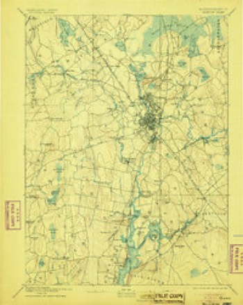
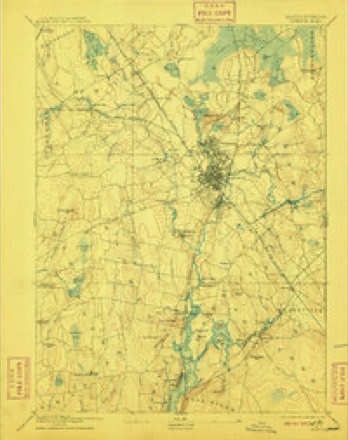
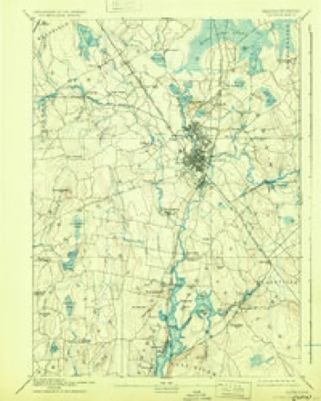
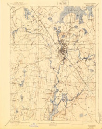
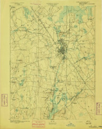
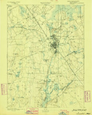
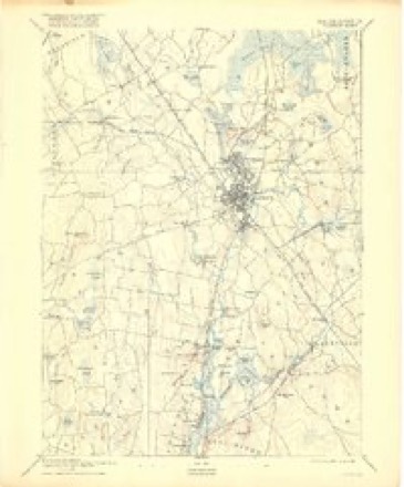
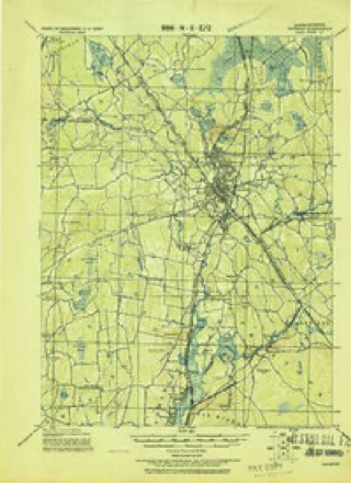
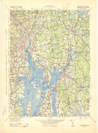
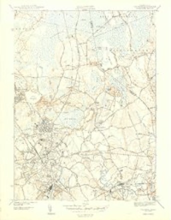
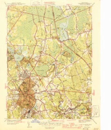
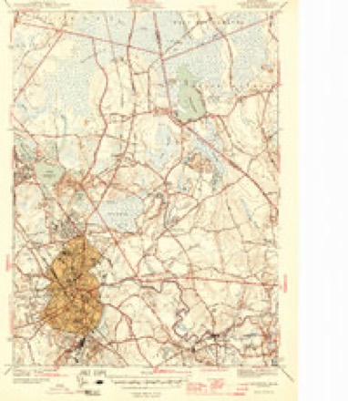
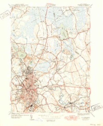
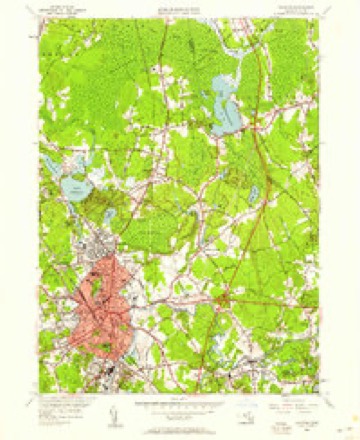
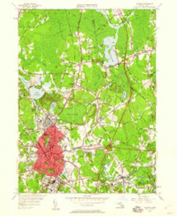
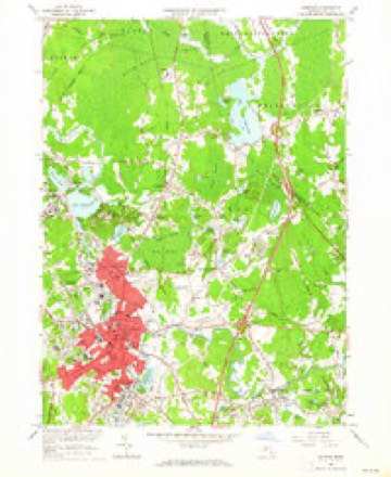
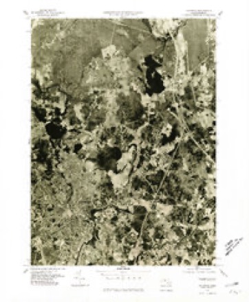
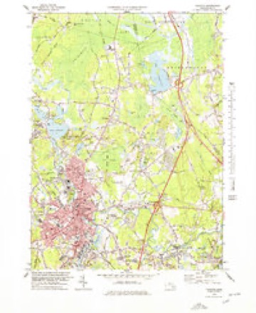
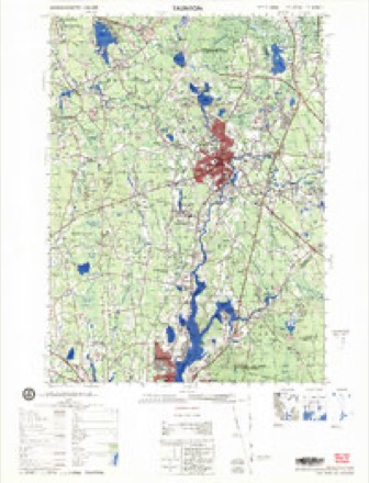
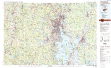
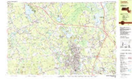
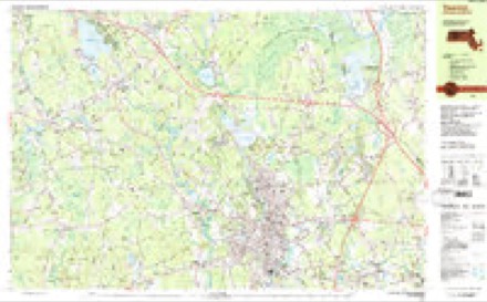
33 topographic sheets cover this place, the earliest surveyed in 1885 and the latest in 1987. It stands in Raynham town. It lies in ZIP code area 02767. It stands on Prospect Hill. The Survey maps it on the Taunton quadrangle.
Then and now
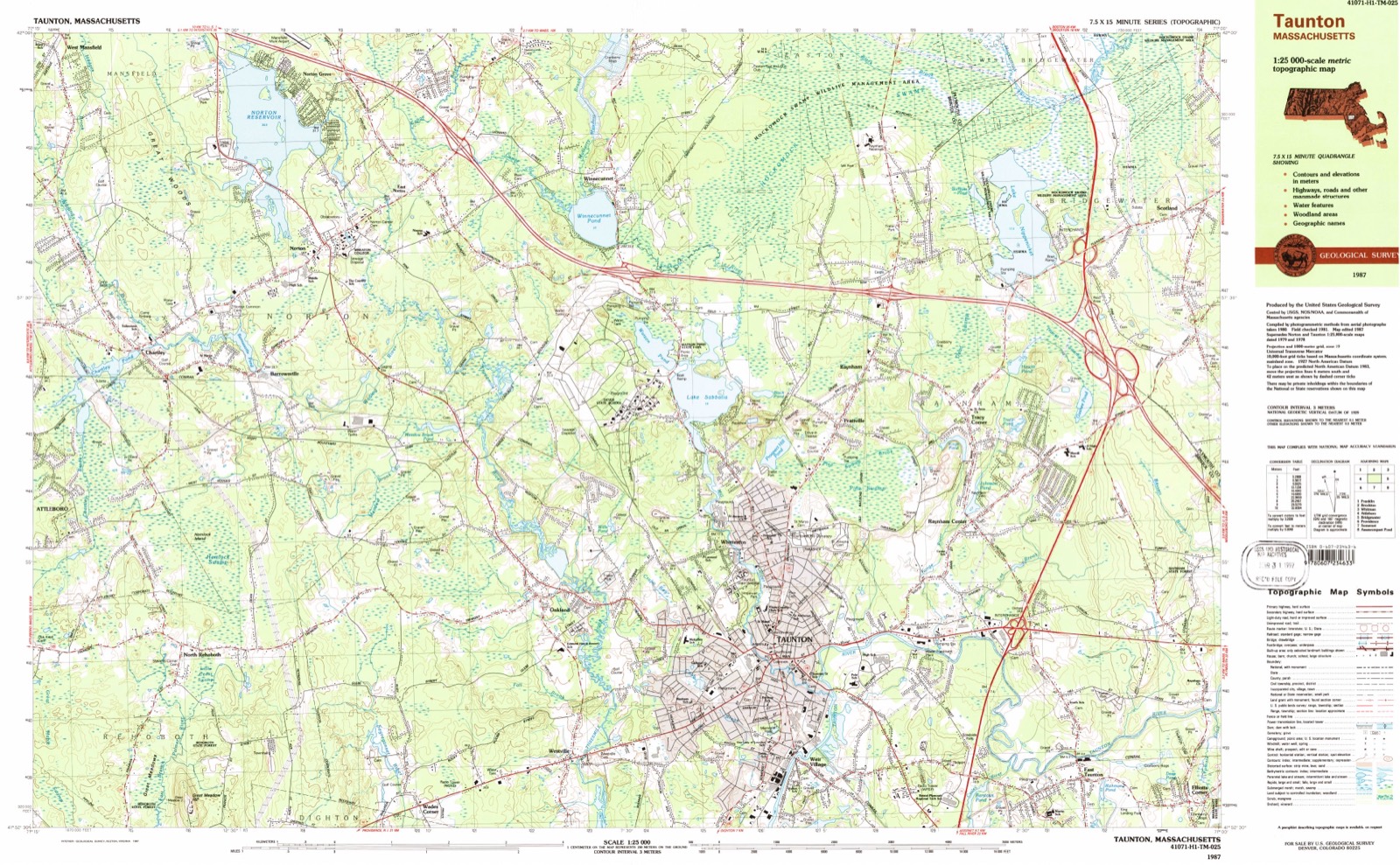
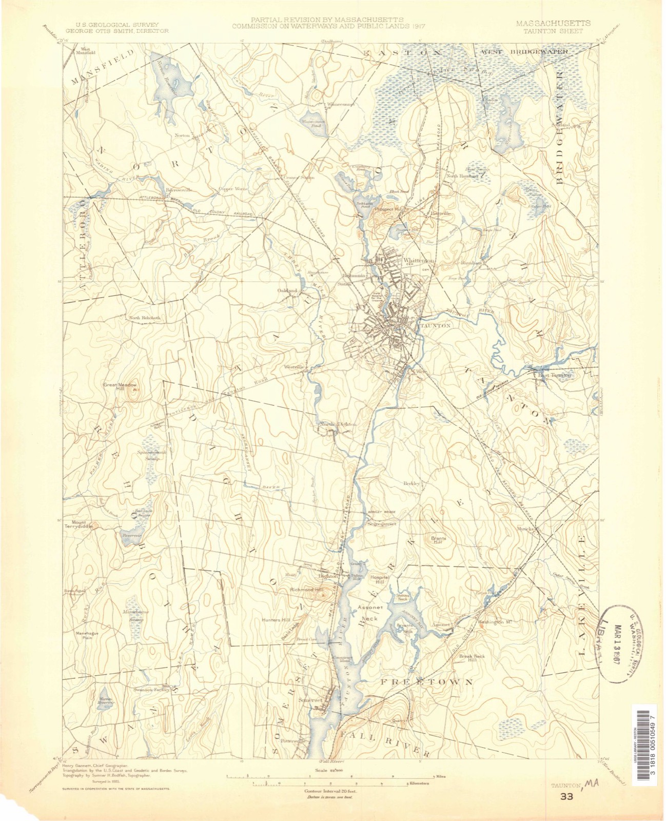
1885 to 1987The same ground, surveyed 102 years apart. Drag the handle to wipe between them. Both sheets are United States Geological Survey originals; neither has been altered.
Topographic sheets covering this place
33 sheetsMatched by testing this settlement's coordinate against the published boundary of every sheet in the United States Geological Survey's historical collection. Each opens the scanned sheet at the Survey.
- 1885 USGS Taunton quadrangle1:62500
- 1888 USGS Taunton quadrangle1:62500
- 1893 USGS Taunton quadrangle1:62500
- 1893 USGS Taunton quadrangle1:62500
- 1893 USGS Taunton quadrangle1:62500
- 1893 USGS Taunton quadrangle1:62500
- 1893 USGS Taunton quadrangle1:62500
- 1893 USGS Taunton quadrangle1:62500
- 1893 USGS Taunton quadrangle1:62500
- 1918 USGS Taunton quadrangle1:62500
- 1943 USGS Providence quadrangle1:125000
- 1944 USGS Taunton quadrangle1:31680
- 1944 USGS Taunton quadrangle1:31680
- 1944 USGS Taunton quadrangle1:31680
- 1944 USGS Taunton quadrangle1:31680
- 1947 USGS Providence quadrangle1:250000
- 1947 USGS Providence quadrangle1:250000
- 1947 USGS Providence quadrangle1:250000
- 1947 USGS Providence quadrangle1:250000
- 1947 USGS Providence quadrangle1:250000
- 1948 USGS Providence quadrangle1:250000
- 1949 USGS Taunton quadrangle1:24000
- 1949 USGS Taunton quadrangle1:24000
- 1957 USGS Providence quadrangle1:250000
- 1958 USGS Providence quadrangle1:250000
- 1962 USGS Taunton quadrangle1:24000
- 1963 USGS Providence quadrangle1:250000
- 1977 USGS Taunton quadrangle1:25000
- 1978 USGS Taunton quadrangle1:25000
- 1979 USGS Taunton quadrangle1:50000
- 1984 USGS Providence quadrangle1:100000
- 1987 USGS Taunton quadrangle1:25000
- 1987 USGS Taunton quadrangle1:25000









In the county-history sources
33,331 words on this townshipHistory of Bristol County, Massachusetts, with Biographical Sketches of Many of Its Pioneers and Prominent Men, published 1883 names this settlement in its chapter on Raynham Town. These are the passages that mention it, exactly as the scans read.
Job Lawton, his son, was born Nov. 12, 17G4. He married Hannah, daughter of Weston and Hannah (White) Kirby. She was born in Westport about 1769. They had three children, - Silas, Obadiah, and George. He had the educational advantages generally given their children by the New England farmers of that day, and combined the avocations of farming and shoemaking. He settled about a mile above the " Head of Westport," buying a farm of about forty acres. He resided there for several years, then selling this he purchased another of one hundred acres farther toward Central village, whither he moved in 1815 or 1816. He was always a great sufferer from asthma. He was a quiet person, not giving to notoriety or office-seeking. He died, of cancer, March 5, 1843. The George Lawton whose portrait accompanies this sketch lived with his father, having slight school privileges. After he was twelve he attended the school at Central village a few weeks each winter for a limited period. He married, Nov. 26, 1826, Ruth, daughter of Joshua and Elizabeth (Wood) Potter. She was born within a mile of the Rhode Island line, in AVestport. Her family was an old one in the town. Her father was a farmer, who lived to be very old. He had fourteen children, of whom eleven attained mature years. She was youngest girl, and was born April 25, 1809. Her grandfather was Abner Potter, whose wife, Patience, was a most splendid specimen of true womanhood, bringing cheer and happiness to all within her sphere of action. Mr. and Mrs. Lawton had nine children, - Eli Potter, born Sept. 20, 1827, married Mary E., daughter of Jeremiah and Barbara Devol, has two children, and lives in Westport ; Uriah W., born April 27, 1831, married Augusta King, of Taunton, has three children. He graduated at Brown University, and is now superintendent of schools in Jackson, Mich. Mary E., born July 2, 1834. She married George J. Allen, had two children, Jacob and Ella, both of whom are married. Jacob lives in Providence, R. I. ; has four children, - Ella, married Thomas Nye, has one child, and lives in West Somerville, Mass. ; Hannah A., born Sept. 30, 1837, married William J. Chadwick, of New Bedford, has four children; Ann M. (died young) ; George F., born Nov. 11, 1844, lives with his parents; Ruth A., born July 3, 1846, married William P. Kirby, lives in Jersey City, N. J., and has one son ; William O., born March 16, 1850, married Rachel Wing, lives in New Bedford, and has one child ; Amanda 31., born June 21, 1854, married T. A. Tripp, of New Haven, and has one child.
Passage source: History of Bristol County, Massachusetts, with Biographical Sketches of Many of Its Pioneers and Prominent Men, published 1883.
Mr. Lawton lived with his father for several years after marriage, then purchased a small farm near Hicks' Bridge, for which he agreed to pay fourteen hundred dollars. His capital at this time was only eight hundred dollars. After a stay of two years he sold out, removed to Westport Point, purchased a farm of sixty acres, and resided there from 1839 to 1881. The four youngest children were born here. Mr. Lawton and his wife practiced the cardinal virtues of diligence and industry, and by long years of toil, in which there was perfect harmony between them, they built up a handsome competency. Although economical and prudent, they were not niggardly. All laudable charities met a hearty response from them, and all along life's pathway has the same generous feelings been exhibited. In 1847, Mr. Lawton erected a grist-mill on his farm, and attended to that personally for the many years he resided on the farm. He sold it, however, in March, 1881, and removed to the Head of Westport, where he now resides. His has been a life of honest labor. Every dollar he possesses has been paid for by its full equivalent in hard work. He has been Whig and Republican in politics, and, as such, has been overseer of the poor three years, and selectman during three years of the civil war. He and his wife belong to the Society of Friends. Mr. Lawton has the honor of being the second resident of Westport to graduate a child at college. After fifty-seven years of connubial felicity, Mr. and Mrs. Lawton are passing down the declivity of life with the esteem of a large circle of friends, and enjoy in their latter years the results of their industry, and leave lives that their numerous descendants may worthily emulate.
Passage source: History of Bristol County, Massachusetts, with Biographical Sketches of Many of Its Pioneers and Prominent Men, published 1883.
Although Taunton was settled in 1638, no settlement was made in Raynham until 1652, when James Leonard, Henry Leonard, and Ralph Russel, from Wales, located here for the purpose of setting up a " bloomary work." For a full description of the pioneer iron-works, the reader is referred to the history of Taunton, where the matter is fully treated by that indefatigable worker in historical lore, Capt. J. W. D. Hall.
Passage source: History of Bristol County, Massachusetts, with Biographical Sketches of Many of Its Pioneers and Prominent Men, published 1883.
Machine-read from a century-old scan, so expect the errors a machine makes: misspelled names, dropped words, stray characters.
Read the whole chapter on Raynham Town - it names this place 69 more 69 times.
Fires near this place
81 since 2003Regional context, not property-specific evidence. The federal wildfire occurrence database lists 81 fires within 5 miles of Raynham between 2003 and 2020, burning about 48 acres in total. 1 started naturally. None was recorded as arson. Distance is straight-line from the map coordinates, so a fire counted here may appear on a neighbouring settlement's page as well.
| Reported cause | Fires |
|---|---|
| Missing data/not specified/undetermined | 38 |
| Debris and open burning | 23 |
| Recreation and ceremony | 8 |
| Smoking | 6 |
| Misuse of fire by a minor | 2 |
| Fireworks | 2 |
| Power generation/transmission/distribution | 1 |
| Natural | 1 |
The most recent of them, most recent first, with the day each was reported and the service that recorded it.
| Date | Cause | Size | Reported by | Name on the report |
|---|---|---|---|---|
| 8 September 2020 | Missing data/not specified/undetermined | under an acre | Massachusetts Bureau of Forest Fire Control | not named |
| 20 September 2020 | Missing data/not specified/undetermined | under an acre | Massachusetts Bureau of Forest Fire Control | not named |
| 17 September 2018 | Debris and open burning | under an acre | Massachusetts Bureau of Forest Fire Control | not named |
| 16 September 2015 | Missing data/not specified/undetermined | under an acre | Massachusetts Bureau of Forest Fire Control | not named |
| 3 August 2020 | Debris and open burning | under an acre | Massachusetts Bureau of Forest Fire Control | not named |
| 28 August 2016 | Recreation and ceremony | under an acre | Massachusetts Bureau of Forest Fire Control | not named |
| 28 August 2007 | Recreation and ceremony | under an acre | Massachussetts State Fire Marshal's Office | not named |
| 15 August 2020 | Misuse of fire by a minor | under an acre | Massachusetts Bureau of Forest Fire Control | not named |
Settlements close enough to share some of these fires:
Specimens collected near this place
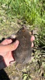
12 of 1,875 shownRegional context, not property-specific evidence. Museums hold 1,875 specimens collected within 10 miles of Raynham between 1855 and 1975: 1,039 Animalia, 640 Plantae, 186 Fungi, 6 Chromista, 3 Unrecorded, 1 Protozoa. 12 distinct Species records are shown. Collected by ?, A. A. Eaton, A. B. Seymour and others. Each is a physical object with a catalogue number, and each entry opens the museum's record. This is what was collected and kept, not a survey of what lives here - nothing can be concluded from a species being absent.
| Image | Species | Year | Collected by | Where, as recorded |
|---|---|---|---|---|
 | Condylura cristata (Linnaeus, 1758) | 1855 | Preparator(s): Edwin V. Komarek | Middleboro |
 | Microtus pennsylvanicus pennsylvanicus (Ord, 1815) | 1855 | John W. Jenks | Middleboro |
 | Peromyscus leucopus (Rafinesque, 1818) | 1855 | John W. Jenks | Middleboro |
 | Astur Lacepède, 1799 | 1860 | C. D. Lincoln | Taunton |
 | Carex panicea L. | 1863 | J. H. Dean | |
 | Carex L. | 1864 | J. H. Dean | Taunton. |
 | Carex vulpinoidea Michx. | 1864 | J. H. Dean | |
 | Baptisia tinctoria (L.) R.Br. | 1866 | Joseph Blake | Middleboro |
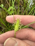 | Carex bullata Willd. | 1866 | Rev. J. Blake | Middleborough |
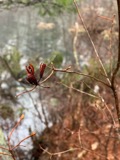 | Rhododendron viscosum (L.) Torr. | 1866 | Joseph Blake | Middleboro |
 | Chelidonium majus L. | 1875 | not recorded | |
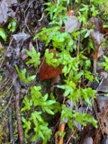 | Lygodium palmatum (Bernh.) Sw. | 1875 | not recorded |
All 1,875 specimens within 10 miles, at the Global Biodiversity Information Facility.
Mines and quarries near this place
8 within 5 milesRegional context, not property-specific evidence. The federal mineral resources record lists 8 workings within 5 miles of Raynham: 4 past producers, 3 producers, 1 unknown. 3 still produce. What was taken out: Sand and Gravel, Construction, Stone, Crushed/Broken. Distance is straight-line from the map coordinates, so a quarry counted here may appear on a neighbouring settlement's page as well.
| Where | Site | Commodity | Status | Recorded |
|---|---|---|---|---|
| Taunton Plant | Stone, Crushed/Broken | Producer | ||
| Bridgewater Pit | Sand and Gravel, Construction | Past Producer | ||
| King Trucking Pit | Sand and Gravel, Construction | Producer | ||
| Landfill Pit | Sand and Gravel, Construction | Past Producer | ||
| Mccabe Sand & Gravel Pit | Sand and Gravel, Construction | Unknown | ||
| Raynham Pit | Sand and Gravel, Construction | Past Producer | ||
| Raynham Pit | Sand and Gravel, Construction | Producer | ||
| Sand and Gravel Pit | Sand and Gravel, Construction | Past Producer |
Storms near this place
8 since 1995Regional context, not property-specific evidence. The National Weather Service names Raynham in 8 storm reports between 1995 and 2024: 5 thunderstorm wind, 1 flash flood, 1 flood, 1 hail. No death or injury is recorded in these reports. Each account below is quoted exactly as the forecast office filed it, from the NOAA Storm Events Database, and each date opens the federal record of that event.
| When | Event | Place named | Harm | What the report says |
|---|---|---|---|---|
| August 2012 | Flash Flood | Raynham | $20,000 | Route 138 in Raynham was flooded near the Market Basket. A car was stuck in flood waters on Tremont Street. The occupants of the car were trapped and had to be rescued. Weir Street was impassable due to flooding. Powderhorn Drive was impassable due to 12 to 15 inches of water over the road. |
| July 2016 | Thunderstorm Wind | Raynham | $15,000 | Several trees were downed on Judson Street and Elm Street. One was downed onto a house. |
| August 2015 | Thunderstorm Wind | Raynham | $15,000 | Trees and wires in several locations throughout Raynham were downed by thunderstorm winds. |
| August 2023 | Thunderstorm Wind | Raynham | $800 | In Raynham, powerlines were downed in the vicinity of Broadway. |
| August 2024 | Hail | Raynham | - | In Raynham, quarter sized hail was reported. |
| October 2014 | Flood | Raynham | - | Route 138 near Carver Street and Center Street were flooded, slowing traffic. |
| June 1997 | Thunderstorm Wind | Raynham | - | no account filed |
| July 1995 | Thunderstorm Wind | Raynham | - | no account filed |
Nearest settlements
The eight closest, with where each one stands in the county. Distances are straight-line, computed from the Geographic Names Information System coordinates.
| Map | Place | Distance | Sheets |
|---|---|---|---|
| Prattville | 0.8 miles | 33 | |
| Tracy Corner | 1.2 miles | 33 | |
| Whittenton | 2.0 miles | 33 | |
| Raynham Center | 2.0 miles | 33 | |
| Britanniaville | 2.7 miles | 33 | |
| Whittenton Junction | 3.1 miles | 33 | |
| Taunton | 3.5 miles | 33 | |
| Winnecunnet | 3.6 miles | 33 |
Provenance
This settlement is recorded in the Geographic Names Information System as feature 613136. The sheet list is computed by point-in-boundary test against the United States Geological Survey's historical topographic inventory. Both are works of the United States government and carry no copyright under 17 U.S.C. 105.
Wildfire. Short, Karen C. 2022. Spatial wildfire occurrence data for the United States, 1992-2020 [FPA_FOD_20221014]. 6th Edition. Fort Collins, CO: Forest Service Research Data Archive. https://doi.org/10.2737/RDS-2013-0009.6 Collected with United States Government funding and usable without additional permissions or fees.
Specimens. Global Biodiversity Information Facility (GBIF), https://www.gbif.org/. Only records licensed CC0 or CC BY are used. Records licensed CC BY-NC are excluded because this site carries advertising. Images are checked individually and any whose licence is non-commercial, no-derivatives or unreadable is refused.
Mines and quarries. USGS Mineral Resources Data System (MRDS) https://mrdata.usgs.gov/mrds/ A work of the United States government, no copyright under 17 U.S.C. 105.
Storms. NOAA National Centers for Environmental Information, Storm Events Database https://www.ncei.noaa.gov/stormevents/ A work of the United States government, no copyright under 17 U.S.C. 105. Narratives are quoted verbatim from the National Weather Service report and are not edited or summarised.