 Block
Block
Reynoldsburg, Ohio
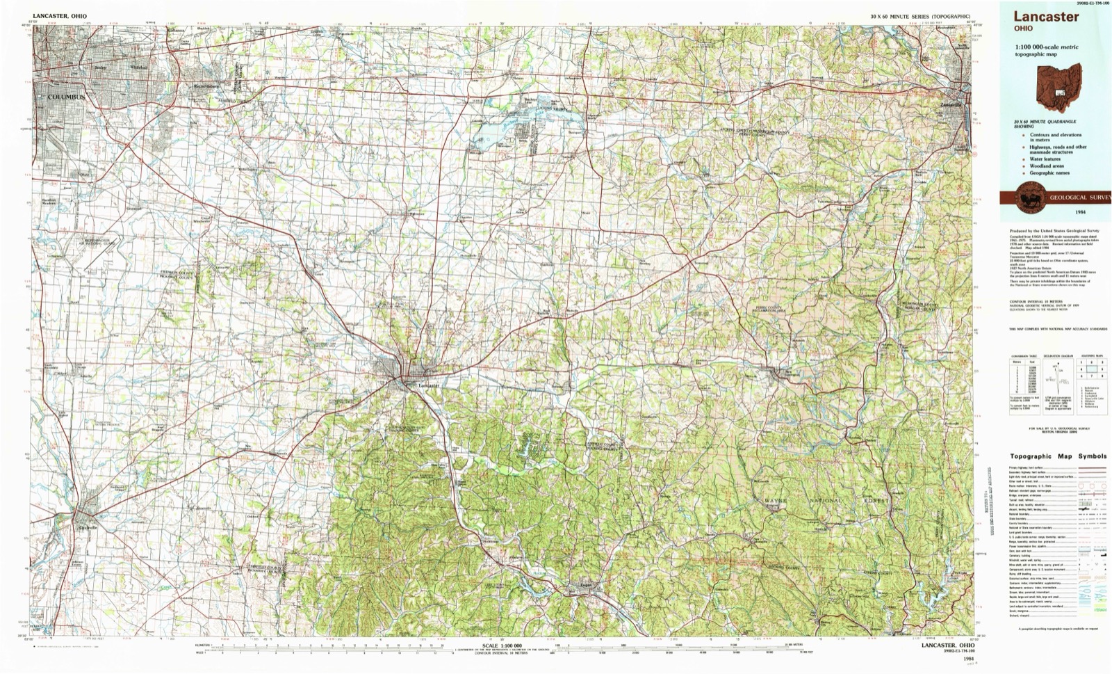
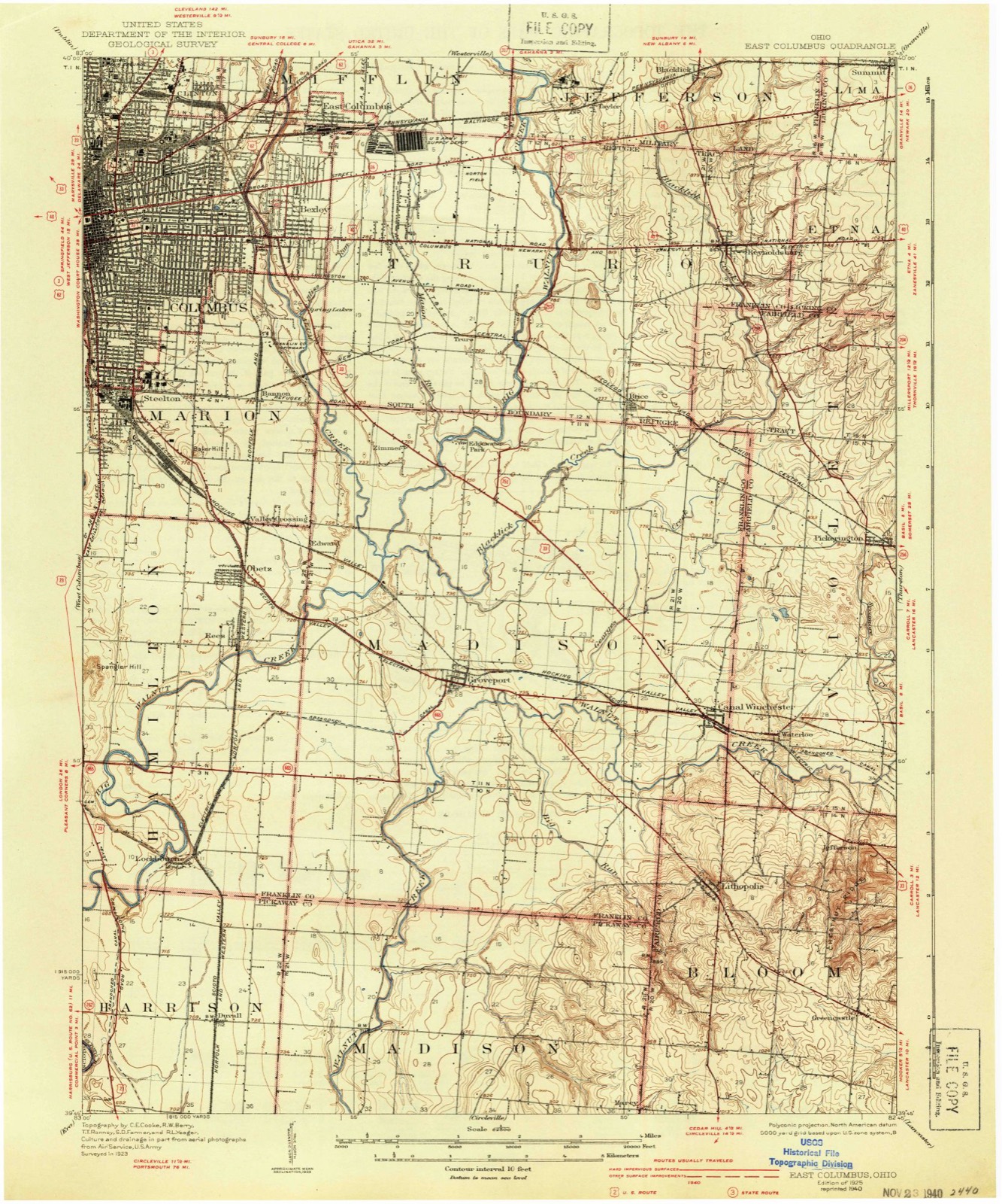
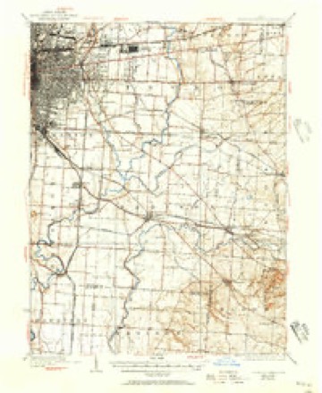
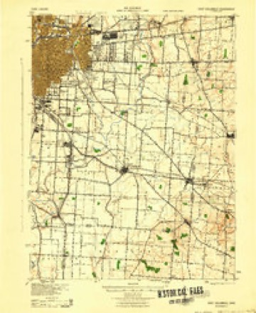
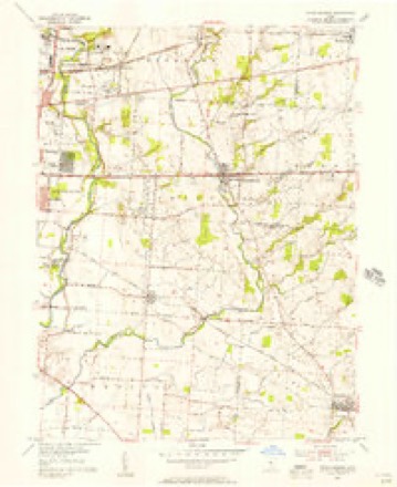
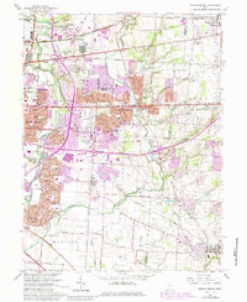
16 topographic sheets cover this place, the earliest surveyed in 1925 and the latest in 1984. It stands in Truro Township. It lies in ZIP code area 43068. It stands on Little Jordan Run. The Survey maps it on the Reynoldsburg quadrangle. 43,350 people lived here at the 2025 count. It stands 879 feet above sea level.
Population over time
3 figuresReynoldsburg grew from 35,893 to 43,350 between 2010 and 2025. These are the recorded population figures Wikidata holds for this place, reached through the Geographic Names Information System number this page is keyed on rather than by name, so they belong to this place and not to another of the same name. Most are census counts, but not all are: an early figure may be a founding or settlement estimate. The change column is computed, and is left blank where more than 20 years separate a figure from the one before it, because a gap that long is not a change between two counts.
| Year | People | Change |
|---|---|---|
| 2010 | 35,893 | |
| 2020 | 41,076 | +5,183 (+14%) |
| 2025 | 43,350 | +2,274 (+6%) |
Then and now
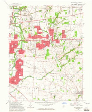
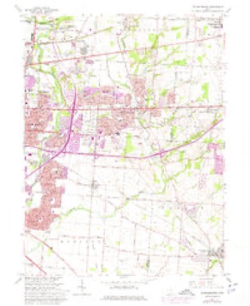
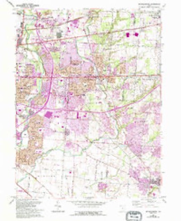
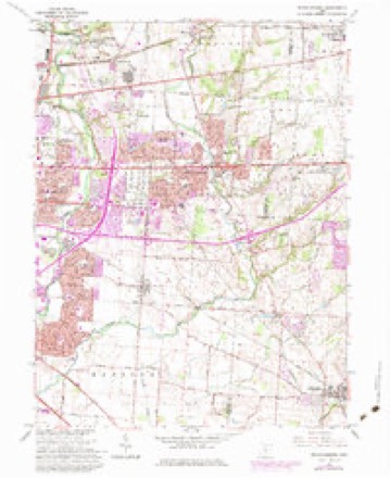
1925 to 1984The same ground, surveyed 59 years apart. Drag the handle to wipe between them. Both sheets are United States Geological Survey originals; neither has been altered.
Topographic sheets covering this place
16 sheetsMatched by testing this settlement's coordinate against the published boundary of every sheet in the United States Geological Survey's historical collection. Each opens the scanned sheet at the Survey.
- 1925 USGS East Columbus quadrangle1:62500
- 1925 USGS East Columbus quadrangle1:62500
- 1925 USGS East Columbus quadrangle1:62500
- 1943 USGS East Columbus quadrangle1:62500
- 1947 USGS Columbus quadrangle1:250000
- 1955 USGS Reynoldsburg quadrangle1:24000
- 1961 USGS Columbus quadrangle1:250000
- 1962 USGS Columbus quadrangle1:250000
- 1964 USGS Reynoldsburg quadrangle1:24000
- 1964 USGS Reynoldsburg quadrangle1:24000
- 1964 USGS Reynoldsburg quadrangle1:24000
- 1964 USGS Reynoldsburg quadrangle1:24000
- 1964 USGS Reynoldsburg quadrangle1:24000
- 1967 USGS Columbus quadrangle1:250000
- 1967 USGS Columbus quadrangle1:250000
- 1984 USGS Lancaster quadrangle1:100000






In the county-history sources
662 words on this townshipHistory of Franklin County [Ohio]:, published 1858 names this settlement in its chapter on Truro Township. These are the passages that mention it, exactly as the scans read.
In the fall of 1831, John French, who owned a form and resided where Reynoldsburg now is, laid out the town, and James C. Reynolds, afterward Gen. Reynolds, then a young man from Zanesville, had temporarily located himself there with a small stock of goods suitable for the demand of the laborers on the road. Reynolds was in no way interested in the town, but merely a boarder with Mr. French, who saw fit to compliment him by naming the town after him. Subsequently, Mr. Reynolds married and became identified with the town as one of its principal business men. He continued his store, erected a steam mill in the town, was postmaster, etc. He afterward removed to Carroll, in Fairfield County, where he died some years since.
Passage source: History of Franklin County [Ohio]:, published 1858.
There are in Truro Township seven churches, four of which are in Reynoldsburg, one Baptist, one Presbyterian, one Methodist, and one Universalist. Near the middle of the township is the old Presbyterian " Truro meeting house," and at White Hall and at Mr. Powell's are Methodist meeting houses.
Passage source: History of Franklin County [Ohio]:, published 1858.
Machine-read from a century-old scan, so expect the errors a machine makes: misspelled names, dropped words, stray characters.
Read the whole chapter on Truro Township - it names this place 2 more 2 times.
Specimens collected near this place
12 of 6,238 shownRegional context, not property-specific evidence. Museums hold 6,238 specimens collected within 10 miles of Reynoldsburg between 1821 and 1975: 4,396 Animalia, 1,234 Fungi, 478 Plantae, 99 Chromista, 30 Unrecorded, 1 Protozoa. 12 distinct Species records are shown. Collected by 19 V 1938 in original publication, Knull, =, ? and others. Each is a physical object with a catalogue number, and each entry opens the museum's record. This is what was collected and kept, not a survey of what lives here - nothing can be concluded from a species being absent.
| Image | Species | Year | Collected by | Where, as recorded |
|---|---|---|---|---|
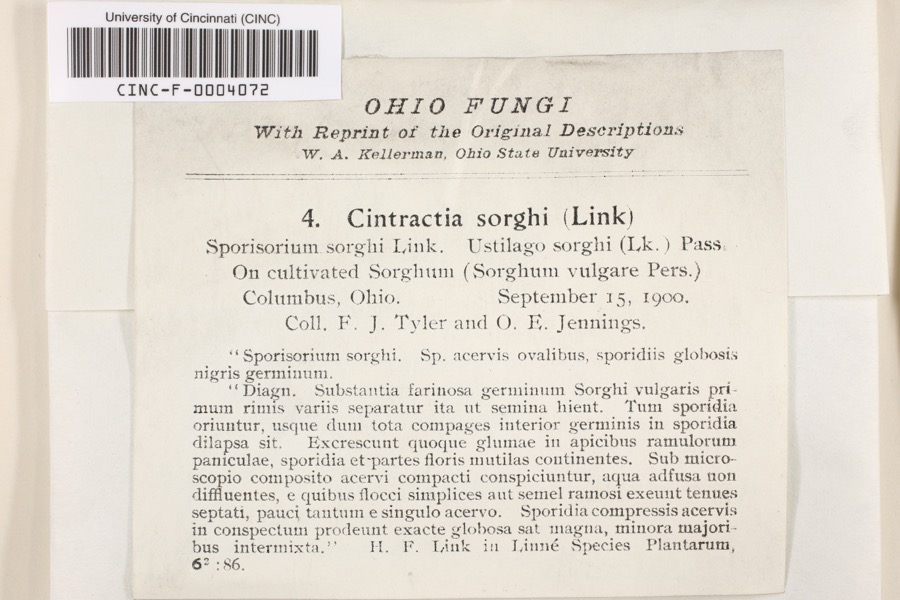 | Cintractia sorghi (Sorokn) De Toni | 1900 | Tyler, F.J.; O. E. Jennings | Columbus |
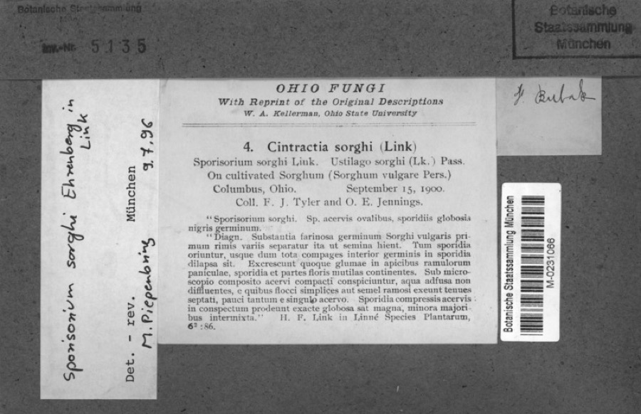 | Sorghum bicolor (L.) Moench | 1900 | Jennings, O.E. | Columbus, Ohio. |
 | Callimome strobiloides Huber, 1927 | 1821 | C. Huber | Columbus |
 | Solidago riddellii Frank | 1832 | W. A. Kellerman | A few miles N of Columbus. |
 | Carex lupulina Muhl. ex Willd. | 1834 | Anonymous | Columbus. |
 | Anomodon viticulosus (Hedw.) Hook. & Taylor | 1837 | W. S. Sullivant | Near Columbus |
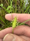 | Carex bullata Willd. | 1837 | Anonymous | Columbus. |
 | Carex comosa Boott | 1837 | Anonymous | Columbus. |
 | Carex granularis Muhl. ex Willd. | 1837 | Anonymous | Columbus. |
| Carex pubescens Muhl. ex Willd. | 1837 | Anonymous | Columbus. | |
| Albugo candida (Pers. ex J.F.Gmel.) Roussel | 1897 | Clevenger, J. F. | Columbus | |
 | Ameiurus melas (Rafinesque, 1820) | 1897 | R. Osburn & E. Williamson | Masons Run, Franklin County, Ohio |
All 6,238 specimens within 10 miles, at the Global Biodiversity Information Facility.
Mines and quarries near this place
3 within 5 milesRegional context, not property-specific evidence. The federal mineral resources record lists 3 workings within 5 miles of Reynoldsburg: 2 past producers, 1 producer. 1 still produces. What was taken out: Sand and Gravel, Construction, Clay. Distance is straight-line from the map coordinates, so a quarry counted here may appear on a neighbouring settlement's page as well.
| Where | Site | Commodity | Status | Recorded |
|---|---|---|---|---|
| Claycraft No 4 & 5 Pits | Clay | Producer | ||
| Blacklick Pit | Sand and Gravel, Construction | Past Producer | Sedimentary | |
| Blacklick Pit | Sand and Gravel, Construction | Past Producer |
Storms near this place
21 since 1994Regional context, not property-specific evidence. The National Weather Service names Reynoldsburg in 21 storm reports between 1994 and 2024: 9 thunderstorm wind, 7 hail, 2 flash flood, 2 flood. The reports record 1 death. Each account below is quoted exactly as the forecast office filed it, from the NOAA Storm Events Database, and each date opens the federal record of that event.
| When | Event | Place named | Harm | What the report says |
|---|---|---|---|---|
| August 2002 | Lightning | Reynoldsburg | 1 killed | A man working on the roof of an apartment complex was struck by lightning. Witnesses said that the man shot up several feet in the air, landing back on the roof where he was unresponsive. The man was rushed to a local hospital where he died from his injuries one day later. |
| June 2002 | Thunderstorm Wind | Reynoldsburg | $10,000 | Strong winds peeled siding off a house, causing minor structural damage. Trees were also blown down throughout the area. |
| May 2002 | Hail | Reynoldsburg | $7,000 | no account filed |
| May 2001 | Flash Flood | Reynoldsburg | $5,000 | Roads and underpasses were flooded due to heavy rain. |
| July 1997 | Thunderstorm Wind | Reynoldsburg | $5,000 | Trees and power lines downed. |
| August 1994 | Thunderstorm Wind | Reynoldsburg | $5,000 | Trees were downed. |
| August 2018 | Thunderstorm Wind | Reynoldsburg | $3,000 | Three trees were reported knocked down. |
| December 2014 | Thunderstorm Wind | Reynoldsburg | $2,000 | Several trees and power poles were knocked down in the Reynoldsburg area. |
| July 2013 | Thunderstorm Wind | Reynoldsburg | $1,000 | A large tree was downed in Blacklick Golf Course due to thunderstorm winds. |
| April 2011 | Thunderstorm Wind | Reynoldsburg | $1,000 | Trees were reported down due to damaging thunderstorm winds. |
| July 2019 | Thunderstorm Wind | Reynoldsburg | $250 | A large tree limb was downed. |
| July 2017 | Flood | Reynoldsburg | - | Four families were evacuated from an apartment complex due to lingering high water. |
| June 2016 | Flash Flood | Reynoldsburg | - | Several streets were flooded by over one foot of water. |
| July 2015 | Flood | Reynoldsburg | - | High water was covering residential streets. Water depth nearly covered truck tires. |
| September 1999 | Thunderstorm Wind | Reynoldsburg | - | Winds gusted to 61 mph as reported by a storm spotter. |
| February 2024 | Hail | Reynoldsburg | - | no account filed |
| March 2019 | Hail | Reynoldsburg | - | no account filed |
| April 2013 | Hail | Reynoldsburg | - | no account filed |
| March 2012 | Hail | Reynoldsburg | - | no account filed |
| April 2003 | Hail | Reynoldsburg | - | no account filed |
| June 1998 | Hail | Reynoldsburg | - | no account filed |
Nearest settlements
The eight closest, with where each one stands in the county. Distances are straight-line, computed from the Geographic Names Information System coordinates.
| Map | Place | Distance | Sheets |
|---|---|---|---|
| Briarcliff | 0.4 miles | 16 | |
| Rose Hill Heights | 0.5 miles | 16 | |
| Brookside Park | 0.9 miles | 16 | |
| Idlewood Manor | 1.2 miles | 16 | |
| Kingswood Farms | 1.9 miles | 16 | |
| Blacklick Ridge | 2.6 miles | 16 | |
| Stonehill | 2.6 miles | 16 | |
| Brice | 2.7 miles | 16 |
Elsewhere
Matched on this settlement's Geographic Names Information System number rather than its name, so it cannot be a different place of the same name in another state.
| Wikipedia article on Reynoldsburg | An encyclopaedic summary. Its text is share-alike, so it is linked here rather than copied. |
| Wikidata item Q1007924 | The structured record the population and elevation above come from. Public domain (CC0). |
Provenance
This settlement is recorded in the Geographic Names Information System as feature 1061597. The sheet list is computed by point-in-boundary test against the United States Geological Survey's historical topographic inventory. Both are works of the United States government and carry no copyright under 17 U.S.C. 105.
Specimens. Global Biodiversity Information Facility (GBIF), https://www.gbif.org/. Only records licensed CC0 or CC BY are used. Records licensed CC BY-NC are excluded because this site carries advertising. Images are checked individually and any whose licence is non-commercial, no-derivatives or unreadable is refused.
Mines and quarries. USGS Mineral Resources Data System (MRDS) https://mrdata.usgs.gov/mrds/ A work of the United States government, no copyright under 17 U.S.C. 105.
Storms. NOAA National Centers for Environmental Information, Storm Events Database https://www.ncei.noaa.gov/stormevents/ A work of the United States government, no copyright under 17 U.S.C. 105. Narratives are quoted verbatim from the National Weather Service report and are not edited or summarised.