 Block
Block
Russellville, Ohio
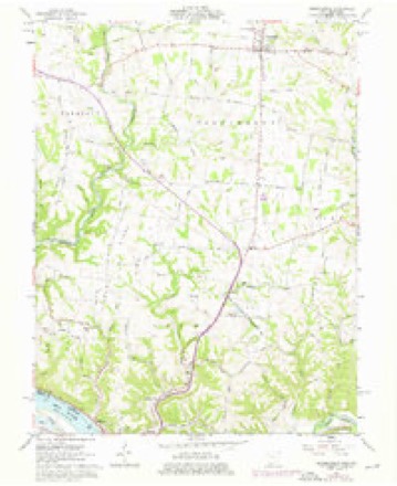
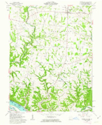
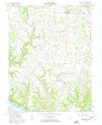
11 topographic sheets cover this place, the earliest surveyed in 1928 and the latest in 1991. It stands in Jefferson Township. It lies in ZIP code area 45168. The Survey maps it on the Russellville quadrangle. 542 people lived here at the 2020 count. It stands 961 feet above sea level.
Population over time
2 figuresRussellville fell from 561 to 542 between 2010 and 2020. These are the recorded population figures Wikidata holds for this place, reached through the Geographic Names Information System number this page is keyed on rather than by name, so they belong to this place and not to another of the same name. Most are census counts, but not all are: an early figure may be a founding or settlement estimate. The change column is computed, and is left blank where more than 20 years separate a figure from the one before it, because a gap that long is not a change between two counts.
| Year | People | Change |
|---|---|---|
| 2010 | 561 | |
| 2020 | 542 | -19 (-3%) |
Then and now
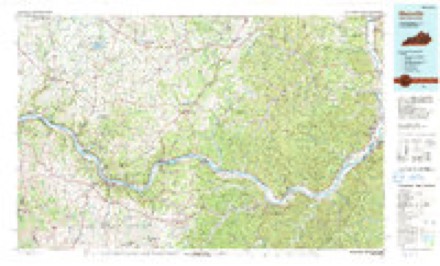
1928 to 1991The same ground, surveyed 63 years apart. Drag the handle to wipe between them. Both sheets are United States Geological Survey originals; neither has been altered.
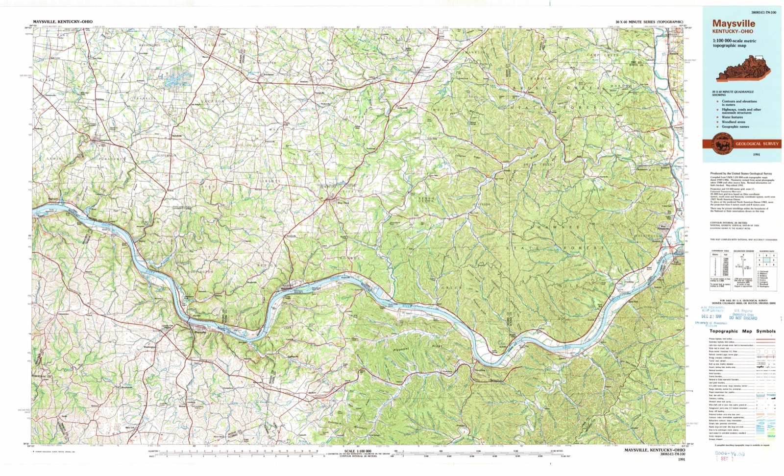
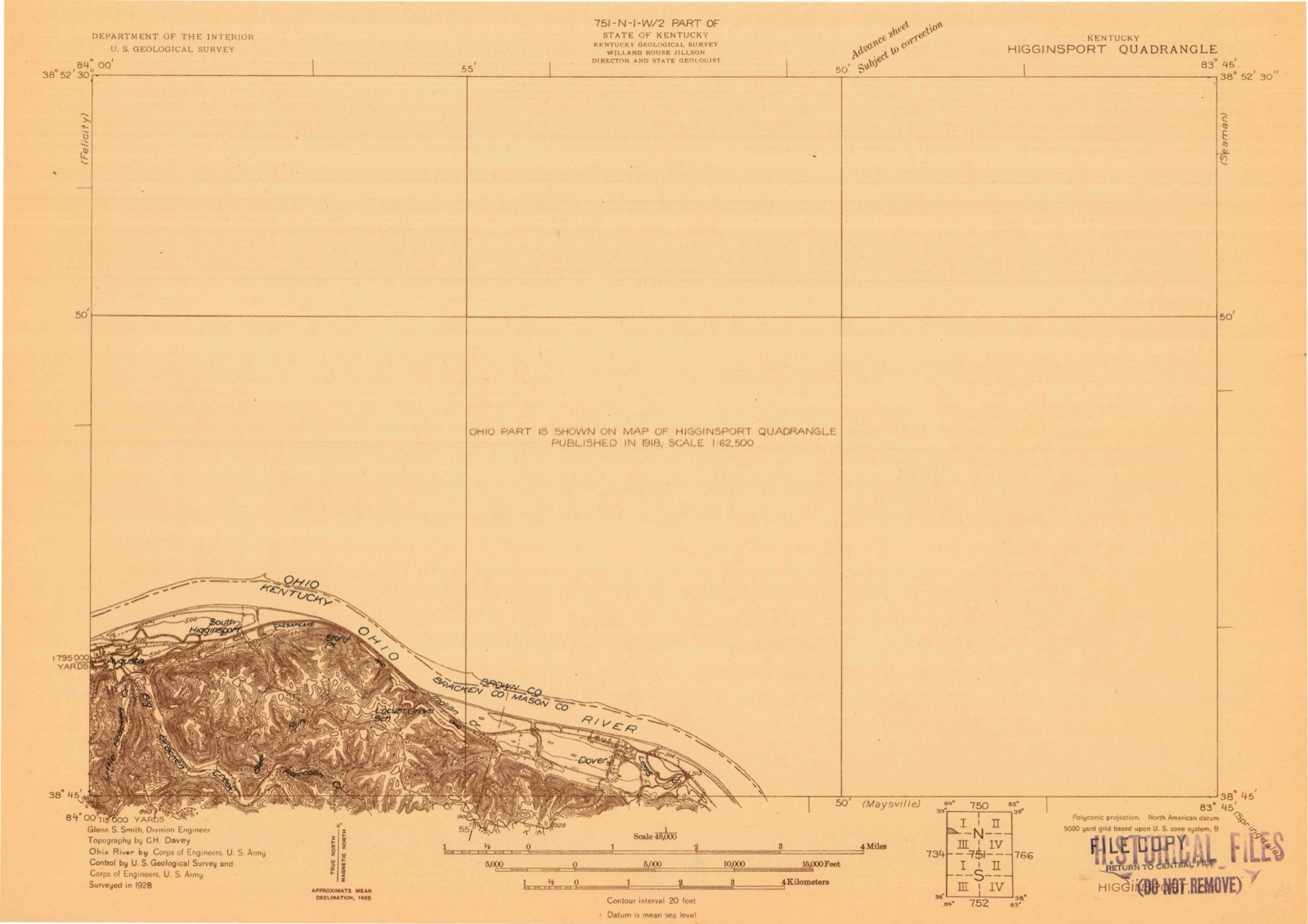
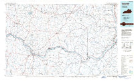
Topographic sheets covering this place
11 sheetsMatched by testing this settlement's coordinate against the published boundary of every sheet in the United States Geological Survey's historical collection. Each opens the scanned sheet at the Survey.
- 1928 USGS Higginsport quadrangle1:48000
- 1931 USGS Higginsport quadrangle1:62500
- 1957 USGS Huntington quadrangle1:250000
- 1957 USGS Huntington quadrangle1:250000
- 1957 USGS Huntington quadrangle1:250000
- 1960 USGS Huntington quadrangle1:250000
- 1961 USGS Russellville quadrangle1:24000
- 1961 USGS Russellville quadrangle1:24000
- 1961 USGS Russellville quadrangle1:24000
- 1986 USGS Maysville quadrangle1:100000
- 1991 USGS Maysville quadrangle1:100000
In the county-history sources
16,467 words on this townshipThe History of Brown County, Ohio, Containing a History of the County ... General and Local Statistics; Portraits of Early Settlers and Prominent Men; History of the Northwest Territory; History of Ohio; Map of Brown County; Constitution of the United States .., published 1883 names this settlement in its chapter on Jefferson Township. These are the passages that mention it, exactly as the scans read.
Russellville Lodge , No. 166, A., F. & A. M. , was chartered on the 27th day of September, 1848, and, with the exception of a short time during the war of the rebellion, it has always been in a prosperous condition. It has had a representation at every communication of the Grand body of the State since receiving its charter. The charter members were P. L. Wilson, Lambert Nowland, Louis Fridley, Wilshire Womax, Reason Fowler, Charles McClain, J. J. Green, William McColgin and others. Its present officers are: A. M. Williamson, W. M. ; S. A. Myers, S. W. ; C. B. Evans, J. W. ; W. P. Williams, Secretary; Johnson Miller. Treasurer; T. N. Salisbury, S. B. ; James Johnson, J.
Passage source: The History of Brown County, Ohio, Containing a History of the County ... General and Local Statistics; Portraits of Early Settlers and Prominent Men; History of the Northwest Territory; History of Ohio; Map of Brown County; Constitution of the United States .., published 1883.
The first fair in Brown County was held in Russellville in October, 1852, on a small lot adjoining the lot on which the Bisciple Church now stands. The officers were: Alex Campbell, President; John Glaze, Secretary; Samuel Glaze, Treasurer. The Board of Birectors were: John Williamson, of Jefferson Township; George Snedaker, of Union Township; Samuel Kerr, of Byrd Township; Absalom King, of Pleasant Township. The ring in which the stock was exhibited was made by encircling a small piece of ground with a strong rope, which was made fast to stakes driven deep into the ground. The display of vegetables, machinery and mechanical manufactures, etc., was made in the Presbyterian Church, which stood adjacent to the grounds in which the stock was shown.
Passage source: The History of Brown County, Ohio, Containing a History of the County ... General and Local Statistics; Portraits of Early Settlers and Prominent Men; History of the Northwest Territory; History of Ohio; Map of Brown County; Constitution of the United States .., published 1883.
The premiums paid were small, but they acted as a strong incentive to the people to make the fair a success. The next fair was held at Russellville, in October, 1853, in the lot now occupied by the steam flouring mills. This was the last Russellville fair. Since that time, they have been held at Georgetown.
Passage source: The History of Brown County, Ohio, Containing a History of the County ... General and Local Statistics; Portraits of Early Settlers and Prominent Men; History of the Northwest Territory; History of Ohio; Map of Brown County; Constitution of the United States .., published 1883.
Machine-read from a century-old scan, so expect the errors a machine makes: misspelled names, dropped words, stray characters.
Read the whole chapter on Jefferson Township - it names this place 8 more 8 times.
Fires near this place
12 since 2003Regional context, not property-specific evidence. The federal wildfire occurrence database lists 12 fires within 5 miles of Russellville between 2003 and 2020, burning about 58 acres in total. None started naturally. None was recorded as arson. Distance is straight-line from the map coordinates, so a fire counted here may appear on a neighbouring settlement's page as well.
| Reported cause | Fires |
|---|---|
| Missing data/not specified/undetermined | 6 |
| Debris and open burning | 5 |
| Power generation/transmission/distribution | 1 |
The most recent of them, most recent first, with the day each was reported and the service that recorded it.
| Date | Cause | Size | Reported by | Name on the report |
|---|---|---|---|---|
| 7 September 2020 | Missing data/not specified/undetermined | under an acre | Ohio Department of Natural Resources | 16070 |
| 6 September 2020 | Debris and open burning | under an acre | Ohio Department of Natural Resources | 16069 |
| 13 August 2020 | Debris and open burning | under an acre | Ohio Department of Natural Resources | 16068 |
| 28 July 2020 | Debris and open burning | under an acre | Ohio Department of Natural Resources | 16067 |
| 23 July 2020 | Missing data/not specified/undetermined | under an acre | Ohio Department of Natural Resources | 16066 |
| 10 June 2020 | Power generation/transmission/distribution | under an acre | Ohio Department of Natural Resources | 16061 |
| 17 May 2020 | Missing data/not specified/undetermined | under an acre | Ohio Department of Natural Resources | 16060 |
| 16 April 2020 | Missing data/not specified/undetermined | under an acre | Ohio Department of Natural Resources | 16058 |
Settlements close enough to share some of these fires:
Specimens collected near this place
12 of 358 shownRegional context, not property-specific evidence. Museums hold 358 specimens collected within 10 miles of Russellville between 1885 and 1974: 273 Animalia, 75 Fungi, 10 Plantae. 12 distinct Species records are shown. Collected by A JOHN, A. Braun, ANSEL JOHN and others. Each is a physical object with a catalogue number, and each entry opens the museum's record. This is what was collected and kept, not a survey of what lives here - nothing can be concluded from a species being absent.
| Image | Species | Year | Collected by | Where, as recorded |
|---|---|---|---|---|
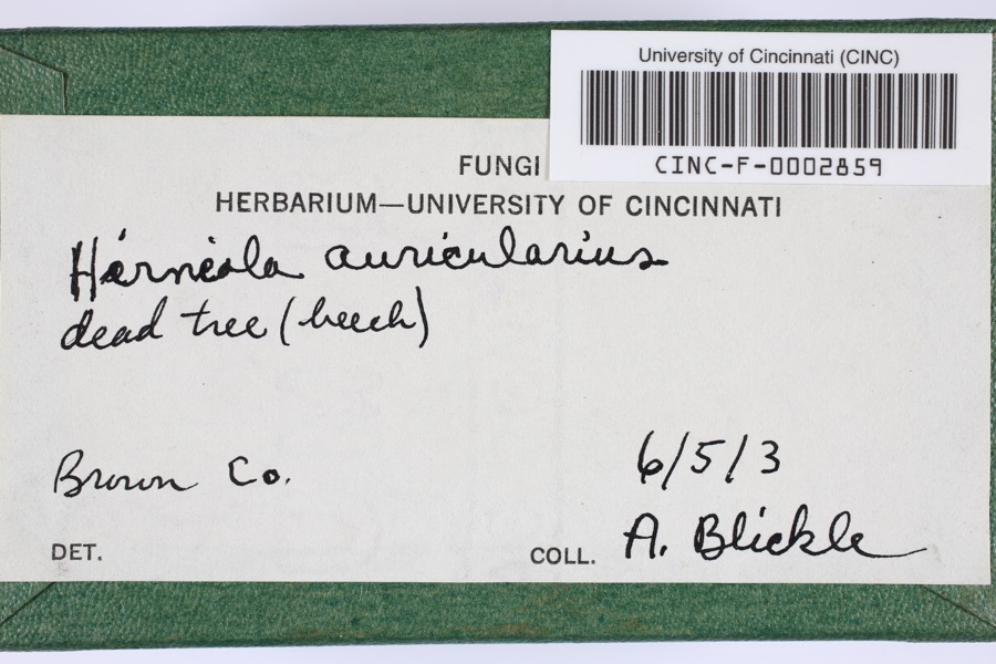 | Hirneola auricularis (Gray) Donk | 1903 | Blickle, A.H. | Brown County, Ohio |
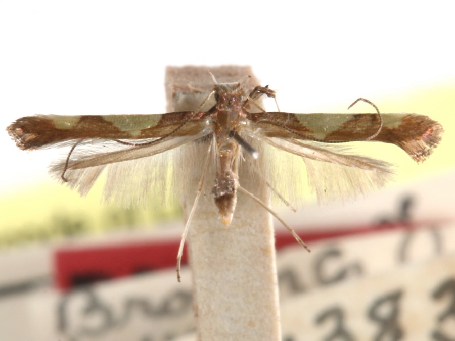 | Caloptilia speciosella (Braun, 1939) | 1929 | A. Braun | [Not Stated] |
 | Valsa ludibunda Sacc. | 1885 | Rev. C. H. Demetrio | (a) Missouri, (b) Newfield, N. J. |
 | Equisetum hyemale L. | 1897 | Kreke, Fr. M. | Arnheim |
| Cercospora circumscissa Sacc. | 1899 | Patterson Flora W. | Ripley | |
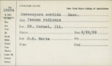 | Cercospora sordida Sacc. | 1899 | King H. B. | Ripley |
 | Cercosporina apii (Fresen.) Miura | 1899 | Patterson Flora W. | Ripley |
| Microsphaera alni (DC.) G.Winter | 1899 | Patterson Flora W. | Ripley | |
| Microsphaera peckii U.Braun | 1899 | Patterson F. W. | Ripley | |
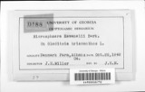 | Microsphaera ravenelii Berk. | 1899 | Patterson Flora W. | Ripley |
 | Polyporus hirsutus (Wulfen) Fr. | 1899 | Patterson F. W. | Ripley |
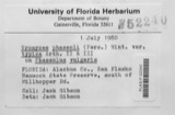 | Uromyces phaseoli G.Winter | 1899 | Patterson F. W. | Ripley |
All 358 specimens within 10 miles, at the Global Biodiversity Information Facility.
Storms near this place
12 since 1996Regional context, not property-specific evidence. The National Weather Service names Russellville in 12 storm reports between 1996 and 2023: 7 thunderstorm wind, 3 hail, 1 tornado, 1 flood. No death or injury is recorded in these reports. Each account below is quoted exactly as the forecast office filed it, from the NOAA Storm Events Database, and each date opens the federal record of that event.
| When | Event | Place named | Harm | What the report says |
|---|---|---|---|---|
| April 2023 | Thunderstorm Wind | Russellville | $10,000 | A few trees and wires were downed in the Russellville area. |
| December 2013 | Thunderstorm Wind | Russellville | $10,000 | Trees and power lines were downed in Russellville, Ripley, and Aberdeen due to thunderstorm winds. |
| April 2006 | Thunderstorm Wind | Russellville | $5,000 | Trees and power lines were knocked down. |
| November 2005 | Tornado (F0) | Russellville | $5,000 | A weak tornado breifly touched down in a field near Russellville with some trees downed. |
| August 1996 | Thunderstorm Wind | Russellville | $5,000 | no account filed |
| August 2017 | Thunderstorm Wind | Russellville | $2,000 | Trees and power lines were knocked down. |
| June 2022 | Thunderstorm Wind | Russellville | $1,000 | A tree was downed along Russellville-Winchester Road. |
| July 2008 | Hail | Russellville | $1,000 | no account filed |
| July 2016 | Flood | Russellville | - | Water was reported covering part of US Route 62 near Russellville. |
| April 2011 | Hail | Russellville | - | no account filed |
| March 2011 | Thunderstorm Wind | Russellville | - | no account filed |
| November 2002 | Hail | Russellville | - | no account filed |
Nearest settlements
The eight closest, with where each one stands in the county. Distances are straight-line, computed from the Geographic Names Information System coordinates.
| Map | Place | Distance | Sheets |
|---|---|---|---|
| Ash Ridge | 3.2 miles | 11 | |
| Redoak | 4.1 miles | 11 | |
| East Wahlsburg | 4.9 miles | 11 | |
| Arnheim | 5.1 miles | 11 | |
| Hillman (historical) | 5.2 miles | 11 | |
| Decatur | 5.6 miles | 9 | |
| Georgetown | 6.2 miles | 12 | |
| West Arnheim | 6.5 miles | 11 |
Elsewhere
Matched on this settlement's Geographic Names Information System number rather than its name, so it cannot be a different place of the same name in another state.
| Wikipedia article on Russellville | An encyclopaedic summary. Its text is share-alike, so it is linked here rather than copied. |
| Wikidata item Q2673093 | The structured record the population and elevation above come from. Public domain (CC0). |
Provenance
This settlement is recorded in the Geographic Names Information System as feature 1065263. The sheet list is computed by point-in-boundary test against the United States Geological Survey's historical topographic inventory. Both are works of the United States government and carry no copyright under 17 U.S.C. 105.
Wildfire. Short, Karen C. 2022. Spatial wildfire occurrence data for the United States, 1992-2020 [FPA_FOD_20221014]. 6th Edition. Fort Collins, CO: Forest Service Research Data Archive. https://doi.org/10.2737/RDS-2013-0009.6 Collected with United States Government funding and usable without additional permissions or fees.
Specimens. Global Biodiversity Information Facility (GBIF), https://www.gbif.org/. Only records licensed CC0 or CC BY are used. Records licensed CC BY-NC are excluded because this site carries advertising. Images are checked individually and any whose licence is non-commercial, no-derivatives or unreadable is refused.
Storms. NOAA National Centers for Environmental Information, Storm Events Database https://www.ncei.noaa.gov/stormevents/ A work of the United States government, no copyright under 17 U.S.C. 105. Narratives are quoted verbatim from the National Weather Service report and are not edited or summarised.