 Block
Block
Scio, Ohio
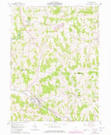
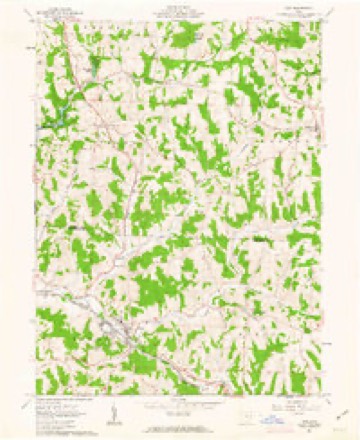
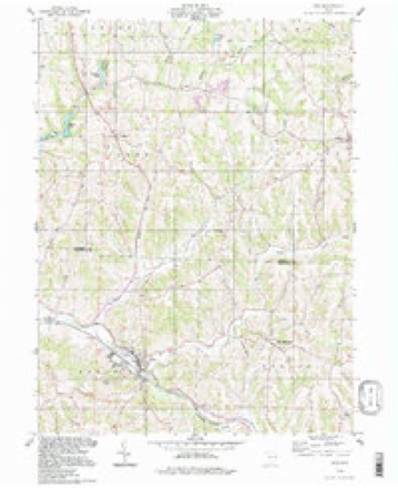
12 topographic sheets cover this place, the earliest surveyed in 1902 and the latest in 1994. It stands in North Township. It lies in ZIP code area 43988. It stands on Irish Creek. The Survey maps it on the Scio quadrangle. 673 people lived here at the 2020 count. It stands 991 feet above sea level.
Population over time
2 figuresScio fell from 763 to 673 between 2010 and 2020. These are the recorded population figures Wikidata holds for this place, reached through the Geographic Names Information System number this page is keyed on rather than by name, so they belong to this place and not to another of the same name. Most are census counts, but not all are: an early figure may be a founding or settlement estimate. The change column is computed, and is left blank where more than 20 years separate a figure from the one before it, because a gap that long is not a change between two counts.
| Year | People | Change |
|---|---|---|
| 2010 | 763 | |
| 2020 | 673 | -90 (-12%) |
Then and now
1902 to 1994The same ground, surveyed 92 years apart. Drag the handle to wipe between them. Both sheets are United States Geological Survey originals; neither has been altered.
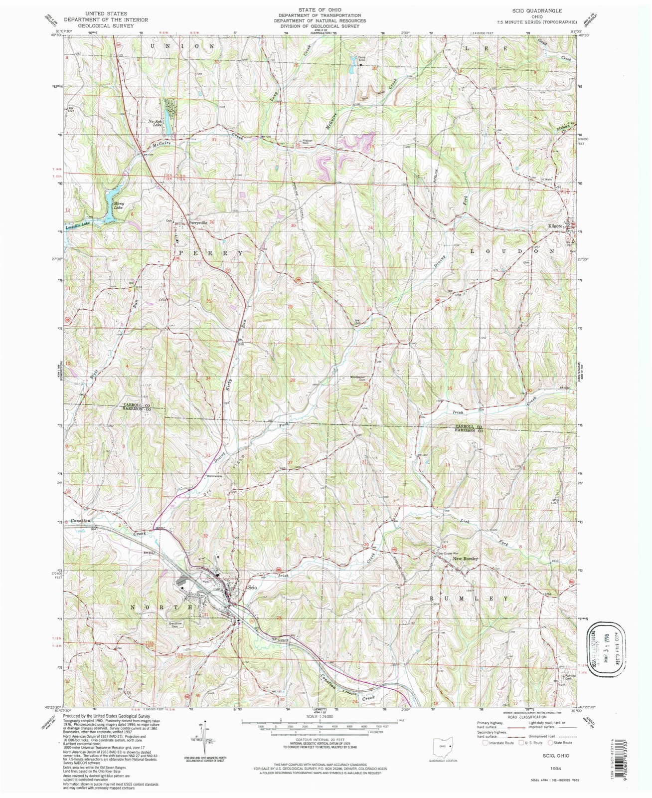
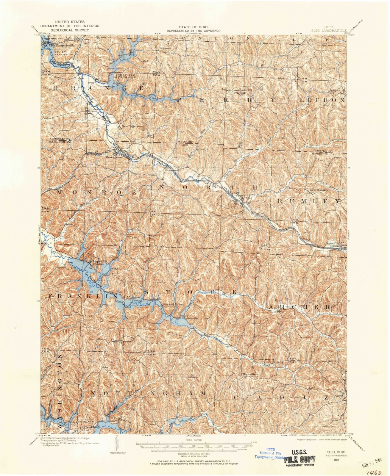
Topographic sheets covering this place
12 sheetsMatched by testing this settlement's coordinate against the published boundary of every sheet in the United States Geological Survey's historical collection. Each opens the scanned sheet at the Survey.
- 1902 USGS Scio quadrangle1:62500
- 1904 USGS Scio quadrangle1:62500
- 1951 USGS Canton quadrangle1:250000
- 1953 USGS Canton quadrangle1:250000
- 1957 USGS Canton quadrangle1:250000
- 1957 USGS Canton quadrangle1:250000
- 1957 USGS Canton quadrangle1:250000
- 1961 USGS Scio quadrangle1:24000
- 1961 USGS Scio quadrangle1:24000
- 1962 USGS Canton quadrangle1:250000
- 1962 USGS Canton quadrangle1:250000
- 1994 USGS Scio quadrangle1:24000







Fires nearby
8 since 2002The federal wildfire occurrence database lists 8 fires within 5 miles of Scio between 2002 and 2020, burning about 33 acres in total. None started naturally. 1 was recorded as arson. Distance is straight-line from the map coordinates, so a fire counted here may appear on a neighbouring settlement's page as well.
| Reported cause | Fires |
|---|---|
| Debris and open burning | 4 |
| Missing data/not specified/undetermined | 3 |
| Arson/incendiarism | 1 |
The most recent of them, most recent first, with the day each was reported and the service that recorded it.
| Date | Cause | Size | Reported by | Name on the report |
|---|---|---|---|---|
| 3 April 2019 | Missing data/not specified/undetermined | 11 acres | Ohio Department of Natural Resources | 15189 |
| 18 April 2005 | Debris and open burning | under an acre | Ohio Department of Natural Resources | not named |
| 14 April 2013 | Missing data/not specified/undetermined | under an acre | Ohio Department of Natural Resources | not named |
| 1 April 2014 | Missing data/not specified/undetermined | 10 acres | Ohio Department of Natural Resources | not named |
| 13 March 2002 | Arson/incendiarism | 3.0 acres | Ohio State Fire Marshal's Office | not named |
| 10 March 2013 | Debris and open burning | 5.0 acres | Ohio Department of Natural Resources | not named |
| 20 October 2015 | Debris and open burning | 2.5 acres | Ohio Department of Natural Resources | 3106 |
| 17 October 2020 | Debris and open burning | 1.0 acres | Ohio Department of Natural Resources | 15858 |
Settlements close enough to share some of these fires:
Specimens collected nearby
12 of 66 shownMuseums hold 66 specimens collected within 10 miles of Scio between 1889 and 1971: 48 Animalia, 12 Plantae, 6 Fungi. 12 distinct Species records are shown. Collected by Andrew R. Moldenke, Conan J. Taylor, Dalton, C., Dalton, J. (J) & Dalton, T. and others. Each is a physical object with a catalogue number, and each entry opens the museum's record. This is what was collected and kept, not a survey of what lives here - nothing can be concluded from a species being absent.
| Image | Species | Year | Collected by | Where, as recorded |
|---|---|---|---|---|
 | Ulmus americana L. | 1908 | Fink, B. | USA. A. P. Morgan Farm near Harrison |
 | Uncinula macrospora Peck | 1908 | Fink, B. | USA. A. P. Morgan Farm near Harrison |
 | Oxalis stricta L. | 1889 | L. Dickerson | |
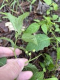 | Solanum emulans Raf. | 1889 | L. Dickerson | |
 | Amblema plicata (Say, 1817) | 1905 | Ortmann, Arnold E | New Hagerstown |
 | Cardamine bulbosa (Schreb. ex Muhl.) Britton, Sterns & Poggenb. | 1905 | Ortmann, A.E. | Bowerston |
 | Pyganodon grandis (Say, 1829) | 1905 | Ortmann, Arnold E | New Hagerstown |
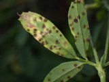 | Pseudopeziza medicaginis (Lib.) Sacc. | 1908 | not recorded | Cadiz |
 | Lampsilis radiata (Gmelin, 1791) | 1919 | Ortmann, Arnold E | Conotton |
| Syrphidae | 1925 | Pallister, J. C. (John C.) | Cadiz, Harrison Co., Ohio, USA | |
| Pleurotus ulmarius (Bull.) P.Kumm. | 1927 | not recorded | Bowerston | |
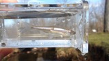 | Cyprinella spiloptera (Cope, 1867) | 1929 | MB Trautman & asst | Little Stillwater Creek, trib of Stillwater River; SW Monroe Twp |
All 66 specimens within 10 miles, at the Global Biodiversity Information Facility.
Storms nearby
17 since 1998The National Weather Service names Scio in 17 storm reports between 1998 and 2025: 12 thunderstorm wind, 2 hail, 1 tornado, 1 flood. No death or injury is recorded in these reports. Each account below is quoted exactly as the forecast office filed it, from the NOAA Storm Events Database, and each date opens the federal record of that event.
| When | Event | Place named | Harm | What the report says |
|---|---|---|---|---|
| June 2020 | Thunderstorm Wind | Scio | $100,000 | Widespread wind damage was reported across the county. |
| May 2000 | Tornado (F2) | Scio | $100,000 | An F2 tornado with maximum winds estimated at 120 MPH passed through a 3-mile section of rural Harrison County. The tornado passed over only one residence as it moved to the east but destroyed several items on the property, including a cinder-block garage, a wooden barn, and several outbuildings. A parked truck was lifted and turned about 90 degrees but was otherwise undamaged. There were several large sections of heavily wooded area along the tornado's path which were completely cleared of trees. No injuries or fatalities were reported. |
| August 1999 | Thunderstorm Wind | Scio | $25,000 | Thunderstorm winds downed several trees in the towns of Scio and Jewett. In Scio, one tree landed on a house, causing minor damage. Two cars were damaged in Jewett by falling trees. |
| August 2019 | Thunderstorm Wind | Scio | $10,000 | A county 911 official reported that there were a number of trees and power lines down across the town of Scio. |
| July 2015 | Thunderstorm Wind | Scio | $5,000 | Twenty to thirty hardwood trees were bent, snapped, and toppled on an acre of land just north of Scio. Owner of the land sent several pictures of trees snapped 30-50 feet off the ground. |
| May 2002 | Thunderstorm Wind | Scio | $5,000 | Thunderstorm winds downed several trees and power lines. |
| June 2019 | Thunderstorm Wind | Scio | $3,000 | Trees were blown down near Scio. |
| July 1999 | Thunderstorm Wind | Scio | $3,000 | Thunderstorm winds downed several large trees. |
| May 2024 | Thunderstorm Wind | Scio | $2,000 | A tree was downed onto County Road 47 outside Scio. |
| August 2019 | Thunderstorm Wind | Scio | $2,000 | A social media user reported that several large tree tops were snapped in Scio. |
| June 2015 | Thunderstorm Wind | Scio | $2,000 | Emergency management reported large limbs down. |
| May 1998 | Thunderstorm Wind | Scio | $2,000 | Thunderstorm winds downed a tree and power lines. |
| August 2023 | Thunderstorm Wind | Scio | $1,000 | A tree was down along Trappan-Scio Road and Hanover Ridge Road. |
| August 2023 | Funnel Cloud | Scio | - | A funnel cloud was reported over the fire station in Scio, OH. |
| March 2007 | Flood | Scio | - | Numerous roads closed due to flooding. |
| May 2025 | Hail | Scio | - | no account filed |
| September 2013 | Hail | Scio | - | no account filed |
Nearest settlements
The eight closest, with where each one stands in the county. Distances are straight-line, computed from the Geographic Names Information System coordinates.
| Map | Place | Distance | Sheets |
|---|---|---|---|
| Hanover | 2.2 miles | 14 | |
| New Rumley | 2.9 miles | 12 | |
| Conotton | 3.6 miles | 13 | |
| Jewett | 4.6 miles | 14 | |
| Stacy (historical) | 5.0 miles | 14 | |
| Laceyville (historical) | 5.7 miles | 14 | |
| Pleasant Valley (historical) | 5.7 miles | 14 | |
| Smithdale (historical) | 5.7 miles | 14 |
Elsewhere
Matched on this settlement's Geographic Names Information System number rather than its name, so it cannot be a different place of the same name in another state.
| Wikipedia article on Scio | An encyclopaedic summary. Its text is share-alike, so it is linked here rather than copied. |
| Wikidata item Q2346497 | The structured record the population and elevation above come from. Public domain (CC0). |
Provenance
This settlement is recorded in the Geographic Names Information System as feature 1065292. The sheet list is computed by point-in-boundary test against the United States Geological Survey's historical topographic inventory. Both are works of the United States government and carry no copyright under 17 U.S.C. 105.
Wildfire. Short, Karen C. 2022. Spatial wildfire occurrence data for the United States, 1992-2020 [FPA_FOD_20221014]. 6th Edition. Fort Collins, CO: Forest Service Research Data Archive. https://doi.org/10.2737/RDS-2013-0009.6 Collected with United States Government funding and usable without additional permissions or fees.
Specimens. Global Biodiversity Information Facility (GBIF), https://www.gbif.org/. Only records licensed CC0 or CC BY are used. Records licensed CC BY-NC are excluded because this site carries advertising. Images are checked individually and any whose licence is non-commercial, no-derivatives or unreadable is refused.
Storms. NOAA National Centers for Environmental Information, Storm Events Database https://www.ncei.noaa.gov/stormevents/ A work of the United States government, no copyright under 17 U.S.C. 105. Narratives are quoted verbatim from the National Weather Service report and are not edited or summarised.