 Block
Block
Shiloh, Ohio
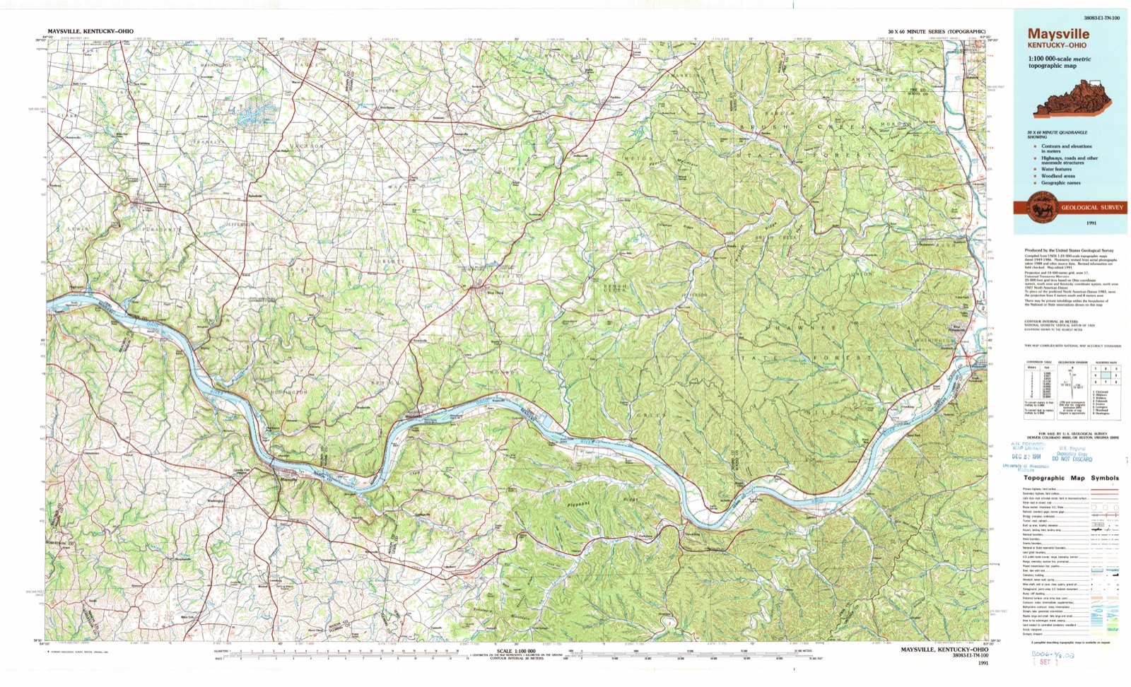
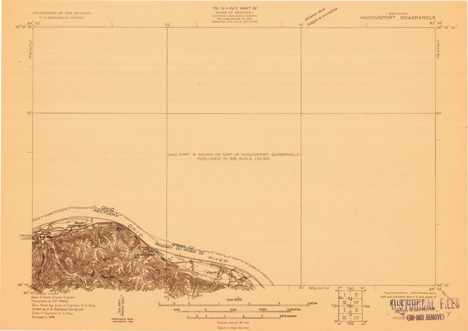
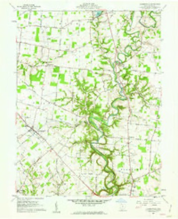
10 topographic sheets cover this place, the earliest surveyed in 1928 and the latest in 1991. It stands in Pike Township. It lies in ZIP code area 45106. The Survey maps it on the Hamersville quadrangle.
Then and now
1928 to 1991The same ground, surveyed 63 years apart. Drag the handle to wipe between them. Both sheets are United States Geological Survey originals; neither has been altered.
Topographic sheets covering this place
10 sheetsMatched by testing this settlement's coordinate against the published boundary of every sheet in the United States Geological Survey's historical collection. Each opens the scanned sheet at the Survey.
- 1928 USGS Higginsport quadrangle1:48000
- 1931 USGS Higginsport quadrangle1:62500
- 1957 USGS Huntington quadrangle1:250000
- 1957 USGS Huntington quadrangle1:250000
- 1957 USGS Huntington quadrangle1:250000
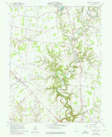
- 1960 USGS Hamersville quadrangle1:24000
- 1960 USGS Hamersville quadrangle1:24000
- 1960 USGS Huntington quadrangle1:250000
- 1986 USGS Maysville quadrangle1:100000
- 1991 USGS Maysville quadrangle1:100000
In the county-history sources
18,904 words on this townshipThe History of Brown County, Ohio, Containing a History of the County ... General and Local Statistics; Portraits of Early Settlers and Prominent Men; History of the Northwest Territory; History of Ohio; Map of Brown County; Constitution of the United States .., published 1883 names this settlement in its chapter on Pike Township. These are the passages that mention it, exactly as the scans read.
'.v That the men of Jefferson Township bore an honorable part in the great struggle with secession, during the four long, eventful years from 1861 to 1865, and performed deeds of loyalty and heroism, the hotly contested fields of Cheat Mountain, Green Brier, Chickamauga, Stone River, Shiloh, Lookout Mountain, Mission Ridge and many others bear ample evidence. Among those who slumber in unknown and unmarked graves beside the still waters of the South, lie a number of the sons of Jefferson Township, there to await the reveille of the heroic, when time shall be no more. But the memory of their heroic acts will be cherished in the hearts of a grateful people, who to the latest generation will call them blessed. We give herewith a list of those who entered the service of their country from Jefferson Township, and were honorably discharged by death or expiration of time of enlistment:
Passage source: The History of Brown County, Ohio, Containing a History of the County ... General and Local Statistics; Portraits of Early Settlers and Prominent Men; History of the Northwest Territory; History of Ohio; Map of Brown County; Constitution of the United States .., published 1883.
Machine-read from a century-old scan, so expect the errors a machine makes: misspelled names, dropped words, stray characters.
Fires near this place
1 since 2012Regional context, not property-specific evidence. The federal wildfire occurrence database lists 1 fire within 5 miles of Shiloh between 2012 and 2012, burning about 0 acres in total. None started naturally. None was recorded as arson. Distance is straight-line from the map coordinates, so a fire counted here may appear on a neighbouring settlement's page as well.
| Reported cause | Fires |
|---|---|
| Debris and open burning | 1 |
The most recent of them, most recent first, with the day each was reported and the service that recorded it.
| Date | Cause | Size | Reported by | Name on the report |
|---|---|---|---|---|
| 18 November 2012 | Debris and open burning | under an acre | Ohio Department of Natural Resources | not named |
Settlements close enough to share some of these fires:
Specimens collected near this place
12 of 313 shownRegional context, not property-specific evidence. Museums hold 313 specimens collected within 10 miles of Shiloh between 1886 and 1974: 178 Animalia, 109 Fungi, 24 Plantae, 2 Protozoa. 12 distinct Species records are shown. Collected by A JOHN, A. B. Seymour, A. Braun and others. Each is a physical object with a catalogue number, and each entry opens the museum's record. This is what was collected and kept, not a survey of what lives here - nothing can be concluded from a species being absent.
| Image | Species | Year | Collected by | Where, as recorded |
|---|---|---|---|---|
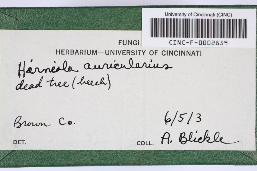 | Hirneola auricularis (Gray) Donk | 1903 | Blickle, A.H. | Brown County, Ohio |
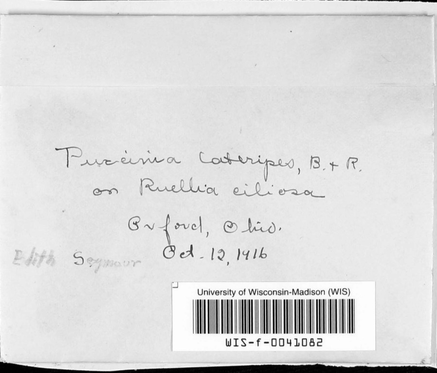 | Puccinia lateripes Berk. & Ravenel | 1916 | A. B. Seymour | |
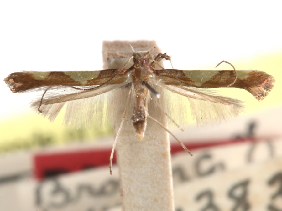 | Caloptilia speciosella (Braun, 1939) | 1929 | A. Braun | [Not Stated] |
| Chordata | 1886 | Smithsonian Institution | ||
 | Equisetum hyemale L. | 1897 | Kreke, Fr. M. | Arnheim |
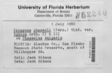 | Uromyces phaseoli G.Winter | 1905 | Stephens J. | Mt. Orab |
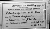 | Cylindrosporium padi P.Karst. | 1907 | Berry M. D.? | Georgetown |
 | Perenniporia robiniophila (Murrill) Ryvarden | 1909 | J. P. Tracy | |
| Secotium agaricoides (Czern.) Hollós | 1913 | Lyon C. D. | Georgetown | |
 | Polytrichum ohioense Renauld & Cardot | 1915 | Fulford, Margaret | Blowville Flats |
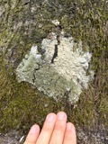 | Anaptychia palmulata (Michx.) Vain. | 1923 | Braun, E. Lucy | White Oak Creek |
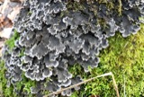 | Peltigera praetextata (Flörke ex Sommerf.) Zopf | 1923 | Braun, E. Lucy | White Oak |
All 313 specimens within 10 miles, at the Global Biodiversity Information Facility.
Storms near this place
3 since 2012Regional context, not property-specific evidence. The National Weather Service names Shiloh in 3 storm reports between 2012 and 2020: 2 flood, 1 hail. No death or injury is recorded in these reports. Each account below is quoted exactly as the forecast office filed it, from the NOAA Storm Events Database, and each date opens the federal record of that event.
| When | Event | Place named | Harm | What the report says |
|---|---|---|---|---|
| September 2020 | Flood | Shiloh | - | Water was reported on Gargonia Road. |
| April 2019 | Flood | Shiloh | - | High water was reported over Gargonia Road, which prompted its closing. |
| September 2012 | Hail | Shiloh | - | no account filed |
Nearest settlements
The eight closest, with where each one stands in the county. Distances are straight-line, computed from the Geographic Names Information System coordinates.
| Map | Place | Distance | Sheets |
|---|---|---|---|
| Neals Corner | 1.9 miles | 10 | |
| Locust Ridge | 2.5 miles | 12 | |
| New Hope | 3.1 miles | 10 | |
| New Harmony | 3.2 miles | 18 | |
| Mount Orab | 3.5 miles | 13 | |
| Whiteoak Springs (historical) | 3.6 miles | 10 | |
| Andersonville | 3.9 miles | 13 | |
| Bodman | 3.9 miles | 13 |
Provenance
This settlement is recorded in the Geographic Names Information System as feature 1063014. The sheet list is computed by point-in-boundary test against the United States Geological Survey's historical topographic inventory. Both are works of the United States government and carry no copyright under 17 U.S.C. 105.
Wildfire. Short, Karen C. 2022. Spatial wildfire occurrence data for the United States, 1992-2020 [FPA_FOD_20221014]. 6th Edition. Fort Collins, CO: Forest Service Research Data Archive. https://doi.org/10.2737/RDS-2013-0009.6 Collected with United States Government funding and usable without additional permissions or fees.
Specimens. Global Biodiversity Information Facility (GBIF), https://www.gbif.org/. Only records licensed CC0 or CC BY are used. Records licensed CC BY-NC are excluded because this site carries advertising. Images are checked individually and any whose licence is non-commercial, no-derivatives or unreadable is refused.
Storms. NOAA National Centers for Environmental Information, Storm Events Database https://www.ncei.noaa.gov/stormevents/ A work of the United States government, no copyright under 17 U.S.C. 105. Narratives are quoted verbatim from the National Weather Service report and are not edited or summarised.