 Block
Block
Solon, Ohio
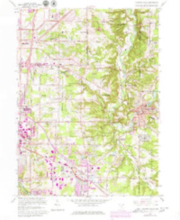
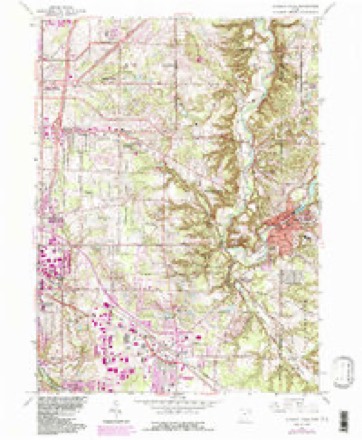
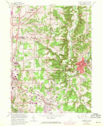
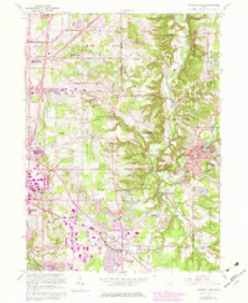
17 topographic sheets cover this place, the earliest surveyed in 1906 and the latest in 1994. It stands in Solon City. It lies in ZIP code area 44139. The Survey maps it on the Chagrin Falls quadrangle. 24,262 people lived here at the 2020 count. It stands 1,040 feet above sea level.
Population over time
2 figuresSolon grew from 23,348 to 24,262 between 2010 and 2020. These are the recorded population figures Wikidata holds for this place, reached through the Geographic Names Information System number this page is keyed on rather than by name, so they belong to this place and not to another of the same name. Most are census counts, but not all are: an early figure may be a founding or settlement estimate. The change column is computed, and is left blank where more than 20 years separate a figure from the one before it, because a gap that long is not a change between two counts.
| Year | People | Change |
|---|---|---|
| 2010 | 23,348 | |
| 2020 | 24,262 | +914 (+4%) |
Then and now
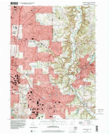
1906 to 1994The same ground, surveyed 88 years apart. Drag the handle to wipe between them. Both sheets are United States Geological Survey originals; neither has been altered.
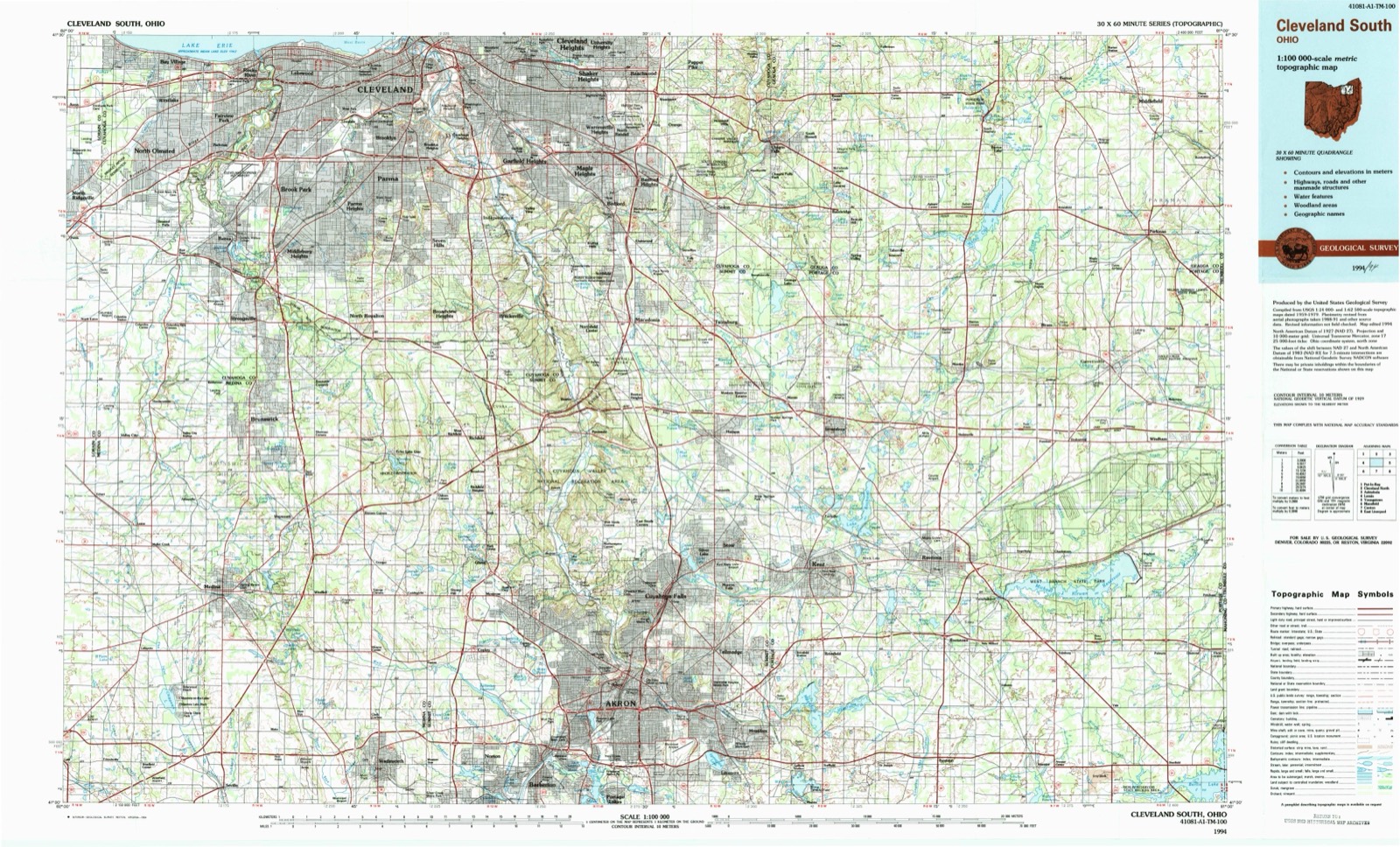
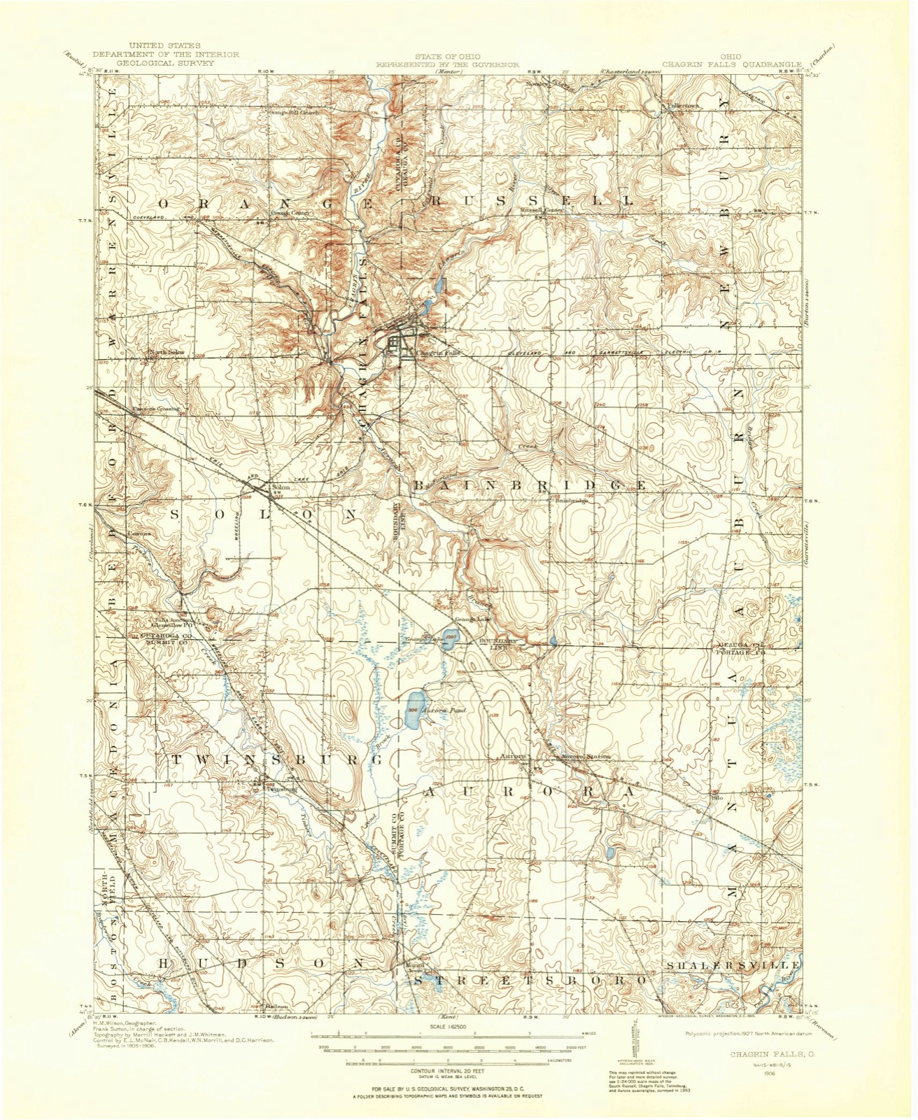
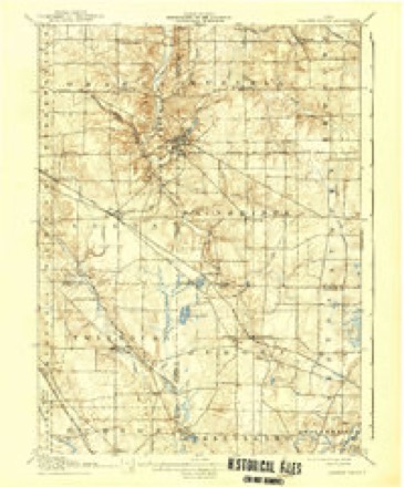
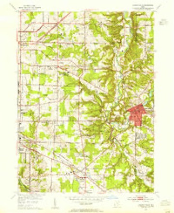
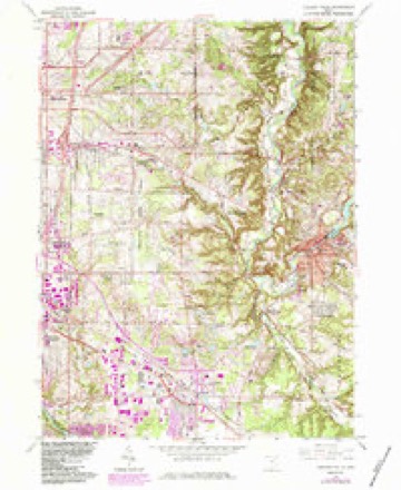
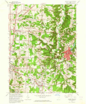
Topographic sheets covering this place
17 sheetsMatched by testing this settlement's coordinate against the published boundary of every sheet in the United States Geological Survey's historical collection. Each opens the scanned sheet at the Survey.
- 1906 USGS Chagrin Falls quadrangle1:62500
- 1908 USGS Chagrin Falls quadrangle1:62500
- 1908 USGS Chagrin Falls quadrangle1:62500
- 1953 USGS Chagrin Falls quadrangle1:24000
- 1956 USGS Cleveland quadrangle1:250000
- 1956 USGS Cleveland quadrangle1:250000
- 1956 USGS Cleveland quadrangle1:250000
- 1962 USGS Cleveland quadrangle1:250000
- 1963 USGS Chagrin Falls quadrangle1:24000
- 1963 USGS Chagrin Falls quadrangle1:24000
- 1963 USGS Chagrin Falls quadrangle1:24000
- 1963 USGS Chagrin Falls quadrangle1:24000
- 1963 USGS Chagrin Falls quadrangle1:24000
- 1963 USGS Chagrin Falls quadrangle1:24000
- 1986 USGS Cleveland South quadrangle1:100000
- 1994 USGS Chagrin Falls quadrangle1:24000
- 1994 USGS Cleveland South quadrangle1:100000






In the county-history sources
4,209 words on this townshipHistory of Cuyahoga County Ohio, published 1870 names this settlement in its chapter on Solon City. These are the passages that mention it, exactly as the scans read.
Having erected their log-houses (those inevitable pioneer palaces), and having made such other preparations as circumstances permitted, the two men, in the month of November, 1820, moved their families first settlers in the present township of Solon. Although these were the only two families in the township, yet they made quite a beginning in the way of settlement, as Mr. Bull had six children and Captain Robbins full as many.
Passage source: History of Cuyahoga County Ohio, published 1870.
Their places were situated on what had been an important mail and supply route from Pittsburg to Cleveland during the war of 1812, but which in 1820 had been abandoned in favor of the road through the more settled regions of Independence, Hudson, etc., and had become impassable by reason of growing bushes and fallen timber. It is now the direct route from Cleveland through Solon Center to Aurora. Their nearest neighbors were two miles to the southeast, in the northwest corner of Aurora. In the direction of Cleveland they could travel without seeing a single residence to a point within three miles of the village of Newburg, and nine miles from their own homes. To the westward, also, it was nine miles to a neighbor, who resided in the southwesternmost part of Bedford.
Passage source: History of Cuyahoga County Ohio, published 1870.
Of the four men and women who thus began the settlement of Solon, all remained at their chosen location throughout their lives. Samuel Bull died in 1838, at the age of sixty-three; Mrs. Eleanor Robbins died in 1850, at the age of seventy-seven; Captain Jason Robbins died in 1852, at the age of ninety; while Mrs. Fanny Huntington Bull, the last and oldest of the venerable quartette, survived to the remarkable age of ninety-four, dying in the year 1872. Of Mr. Bull's family, Pitkin 8., Lorenzo S. and Norman A. are still living, and it is from the second named that we have derived the facts previously narrated. Of Mr. Robbins' family, W. W. Robbins and Mrs. I. N. Blackman still sui vive.
Passage source: History of Cuyahoga County Ohio, published 1870.
Machine-read from a century-old scan, so expect the errors a machine makes: misspelled names, dropped words, stray characters.
Read the whole chapter on Solon City - it names this place 19 more 19 times.
Specimens collected near this place
12 of 1,691 shownRegional context, not property-specific evidence. Museums hold 1,691 specimens collected within 10 miles of Solon between 1877 and 1975: 1,630 Animalia, 35 Plantae, 22 Fungi, 3 Protozoa, 1 incertae sedis. 12 distinct Species records are shown. Collected by A. Hall, A. Woolman, AUSLEY, G and others. Each is a physical object with a catalogue number, and each entry opens the museum's record. This is what was collected and kept, not a survey of what lives here - nothing can be concluded from a species being absent.
| Image | Species | Year | Collected by | Where, as recorded |
|---|---|---|---|---|
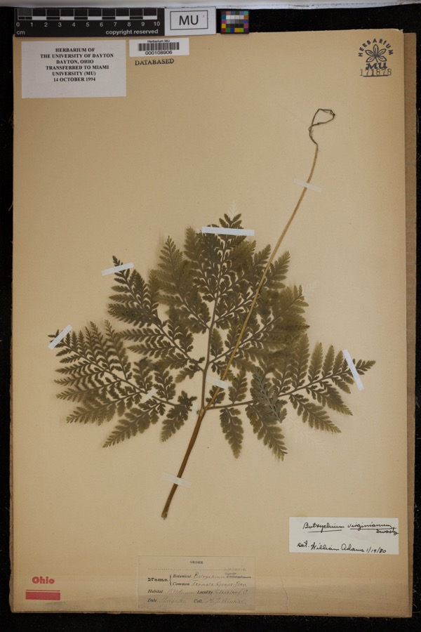 | Botrychium virginianum (L.) Sw. | 1897 | Winkler, H.J. | Woods, Cleveland. |
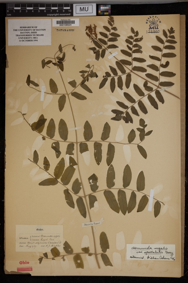 | Osmunda regalis var. spectabilis (Willd.) A.Gray | 1897 | Winkler, H.J. | Cleveland. Moist woods. |
 | Empidonax flaviventris (W.M.Baird & S.F.Baird, 1843) | 1877 | A. Hall | Cuyahoga |
 | Agelaius phoeniceus phoeniceus (Linnaeus, 1766) | 1884 | William Doertenbach | Independence |
 | Molothrus ater ater (Boddaert, 1783) | 1884 | William Doertenbach | Independence |
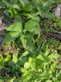 | Cryptotaenia canadensis (L.) DC. | 1890 | R. H. Ingraham | Miles |
 | Ambloplites rupestris (Rafinesque, 1817) | 1893 | A. Woolman | Cuyohoga River, Independence, Ohio |
 | Ameiurus melas (Rafinesque, 1820) | 1893 | not recorded | Cuyahoga River, Independence, Ohio |
 | Ammocrypta pellucida (Putnam, 1863) | 1893 | not recorded | Cuyahoga River, Independence, Ohio |
 | Carpiodes cyprinus cyprinus | 1893 | not recorded | Cuyahoga River, Independence, Ohio |
 | Catostomus commersonii (Lacepède, 1803) | 1893 | A. Woolman | Cuyohoga River, Independence, Ohio |
 | Cyprinus carpio Linnaeus, 1758 | 1893 | not recorded | Cuyahoga River, Independence, Ohio |
All 1,691 specimens within 10 miles, at the Global Biodiversity Information Facility.
Mines and quarries near this place
5 within 5 milesRegional context, not property-specific evidence. The federal mineral resources record lists 5 workings within 5 miles of Solon: 3 past producers, 1 producer, 1 unknown. 1 still produces. What was taken out: Sand and Gravel, Construction, Stone, Crushed/Broken, Zirconium. Distance is straight-line from the map coordinates, so a quarry counted here may appear on a neighbouring settlement's page as well.
| Where | Site | Commodity | Status | Recorded |
|---|---|---|---|---|
| Zircoa Refractories/ Solon, Ohio | Zirconium | Unknown | ||
| Leone Sand and Gravel Pit | Sand and Gravel, Construction | Past Producer | Sedimentary | |
| Leone Sand and Gravel Pit | Sand and Gravel, Construction | Past Producer | ||
| Silica, Incorporated Quarry | Stone, Crushed/Broken | Past Producer | Sedimentary | |
| Twinsburg Quarry | Stone, Crushed/Broken | Producer |
Storms near this place
25 since 1996Regional context, not property-specific evidence. The National Weather Service names Solon in 25 storm reports between 1996 and 2026: 13 thunderstorm wind, 7 hail, 2 lightning, 2 flash flood. No death or injury is recorded in these reports. Each account below is quoted exactly as the forecast office filed it, from the NOAA Storm Events Database, and each date opens the federal record of that event.
| When | Event | Place named | Harm | What the report says |
|---|---|---|---|---|
| November 2002 | Tornado (F1) | Solon | $6,800,000 | An F1 tornado crossed into Cuyahoga County from Summit County to the south of Glenwillow. The tornado traveled northeast for about four miles and dissipated to the east of Solon. The tornado caused some home damage in Glenwillow and tore the roof off of a business. After moving across a few open fields the tornado crossed into Solon along Pettibone Road. Several homes were damaged on Selworthy and Hollycock Lanes in the Liberty Hill subdivision just north of Pettibone. As the tornado continued northeast it damaged several more homes in the Hunt Club subdivision near the intersection of SOM Center and Arthur Roads. Next hit was the Solon Middle School on SOM Center Road just north of Arthur Road. The school sustained over $2 million in roof and structural damages. As the tornado continued northeast it caused damage in the Ayleshire subdivision along Aurora Road. More home damage occured along Liberty Street near the railroad tracks and on Windy Hill Lane. The tornado finally dissipated on the eastern edge of Solon near Bainbridge Road after damaging around 100 homes in the county. Most of the home damage was minor, but dozens of cars were damaged or destroyed and hundreds of trees and power poles downed. The damage path was generally 50 to 100 yards in width. |
| April 2026 | Hail | Solon | $500,000 | Received social media picture of hailstones slightly larger than hen egg-size in Solon. According to the Cleveland Plain Dealer, Solon's mayor estimated hail-related damage totaled at least $500k. |
| July 2002 | Thunderstorm Wind | Solon | $30,000 | Thunderstorm winds downed several large tree limbs. Two homes were damaged by the limbs. |
| September 2002 | Thunderstorm Wind | Solon | $25,000 | Thunderstorm winds downed a tree and a large limb. The fallen tree damaged a house. |
| June 1998 | Lightning | Solon | $25,000 | Lightning struck a tree which fell on a house, causing considerable damage. |
| May 2015 | Thunderstorm Wind | Solon | $15,000 | Trees reported down in Solon and Gates Mills. |
| July 2016 | Thunderstorm Wind | Solon | $10,000 | Several trees were brought down by thunderstorm winds around the Solon area. Power lines were also reported down in Shaker Heights. |
| June 2011 | Thunderstorm Wind | Solon | $10,000 | Thunderstorm winds downed several trees along Bainbridge Road. |
| April 2002 | Hail | Solon | $10,000 | Quarter size hail was reported. |
| August 1996 | Lightning | Solon | $5,000 | no account filed |
| August 2024 | Thunderstorm Wind | Solon | $3,000 | Numerous large trees downed and siding removed from at least one house along Longview Drive in Solon. Additional tree damage noted along nearby Fox Hill Drive, Arthur Road, and in the Hunt Club neighborhood. |
| June 2013 | Thunderstorm Wind | Solon | $2,000 | A trained weather spotter reported two large trees blown down in Solon, one of which was two feet in diameter. |
| July 2003 | Thunderstorm Wind | Solon | $2,000 | Thunderstorm winds toppled one large tree. |
| August 1996 | Thunderstorm Wind | Solon | $2,000 | no account filed |
| April 2011 | Thunderstorm Wind | Solon | $1,000 | Thunderstorm winds brought down several large limbs. |
| April 2025 | Flash Flood | Solon | - | Flash flooding reported in North Randall, Bedford, and Solon. Flooding reported on US-422 between Miles Road and Cannon Road in Solon, with up to a foot of water inundating the roadway. Brainard Road under US-422 was closed due to flooding. Northfield Road southbound was closed in North Randall between Emery Road and Miles Road due to flooding. Rainfall amounts estimated from 1.5 to 2.5 inches in a 1 to 2 hour period, which equates to a roughly 1 in 20 annual recurrence interval. |
| May 2025 | Hail | Solon | - | Hail up to quarter-size about one-mile northwest of Solon. |
| April 2023 | Thunderstorm Wind | Solon | - | Trees downed along Liberty Road, just south of Aurora Road, in Solon. Downed tree along Aurora Road, just east of intersection with Liberty Road, as well. |
| May 2022 | Thunderstorm Wind | Solon | - | Two trees damaged in Solon. |
| July 2021 | Thunderstorm Wind | Solon | - | Power pole and wires down at Bainbridge and Solon Roads in Solon. |
| September 2020 | Flash Flood | Solon | - | Widespread flooding across Solon. Carter Street near David and Bainbridge west of Kruse reportedly impacted the most with road closures and flooded cars. |
| March 2010 | Hail | Solon | - | Penny sized hail was observed. |
| May 2010 | Hail | Solon | - | Quarter sized hail was observed. |
| April 2006 | Hail | Solon | - | Penny size hail was observed. |
| April 1998 | Hail | Solon | - | no account filed |
Nearest settlements
The eight closest, with where each one stands in the county. Distances are straight-line, computed from the Geographic Names Information System coordinates.
| Map | Place | Distance | Sheets |
|---|---|---|---|
| Bentleyville | 2.3 miles | 17 | |
| Glenwillow | 2.5 miles | 15 | |
| Cowans (historical) | 2.6 miles | 17 | |
| Falls Junction | 2.6 miles | 15 | |
| Evergreen Manor | 3.1 miles | 17 | |
| North Solon | 3.2 miles | 17 | |
| Applecreek Village | 3.8 miles | 15 | |
| Oakwood | 3.9 miles | 15 |
Elsewhere
Matched on this settlement's Geographic Names Information System number rather than its name, so it cannot be a different place of the same name in another state.
| Wikipedia article on Solon | An encyclopaedic summary. Its text is share-alike, so it is linked here rather than copied. |
| Wikidata item Q978968 | The structured record the population and elevation above come from. Public domain (CC0). |
Provenance
This settlement is recorded in the Geographic Names Information System as feature 1046426. The sheet list is computed by point-in-boundary test against the United States Geological Survey's historical topographic inventory. Both are works of the United States government and carry no copyright under 17 U.S.C. 105.
Specimens. Global Biodiversity Information Facility (GBIF), https://www.gbif.org/. Only records licensed CC0 or CC BY are used. Records licensed CC BY-NC are excluded because this site carries advertising. Images are checked individually and any whose licence is non-commercial, no-derivatives or unreadable is refused.
Mines and quarries. USGS Mineral Resources Data System (MRDS) https://mrdata.usgs.gov/mrds/ A work of the United States government, no copyright under 17 U.S.C. 105.
Storms. NOAA National Centers for Environmental Information, Storm Events Database https://www.ncei.noaa.gov/stormevents/ A work of the United States government, no copyright under 17 U.S.C. 105. Narratives are quoted verbatim from the National Weather Service report and are not edited or summarised.