 Block
Block
Somerset, Massachusetts
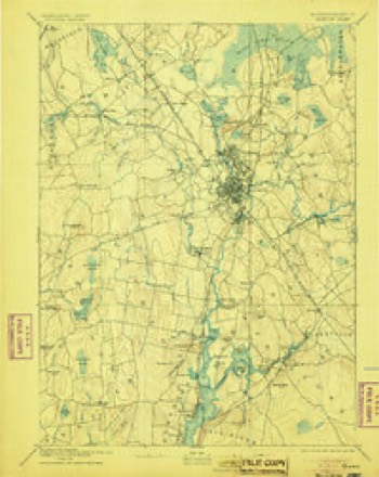
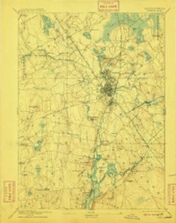
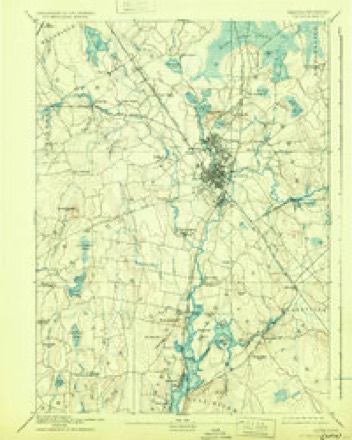
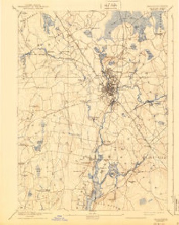
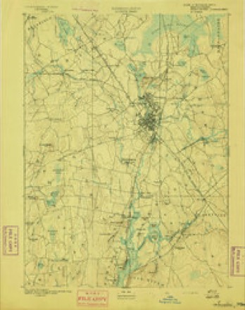
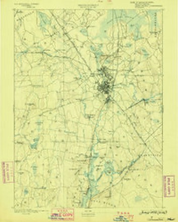
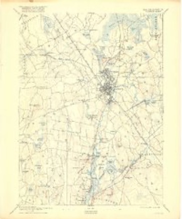
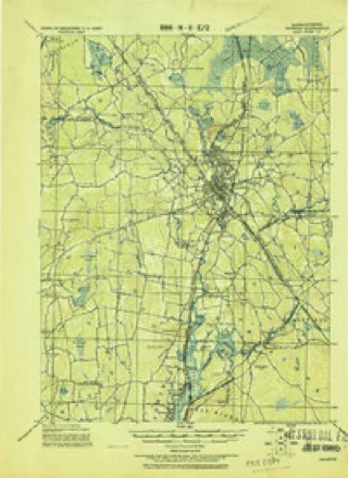
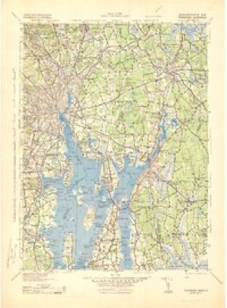
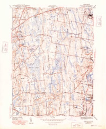
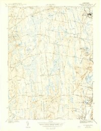
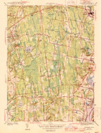
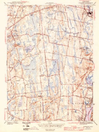
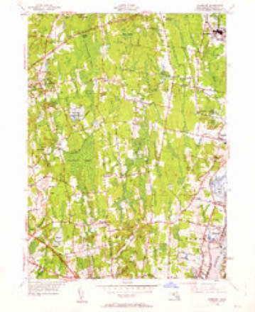
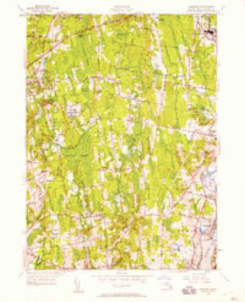
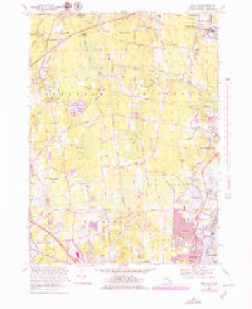
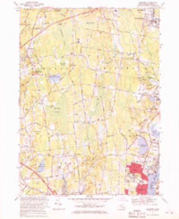
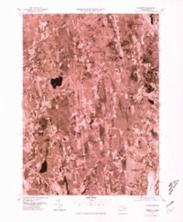
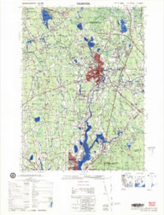
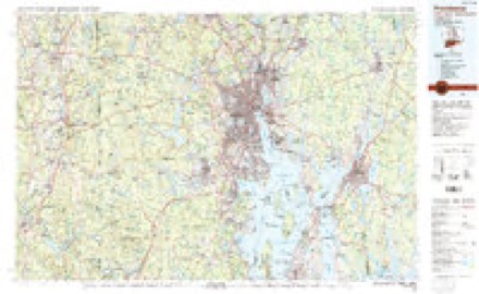
33 topographic sheets cover this place, the earliest surveyed in 1885 and the latest in 1985. It stands in Somerset town. It lies in ZIP code area 02726. It stands on Labor in Vain Creek. The Survey maps it on the Somerset quadrangle.
Then and now
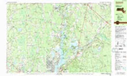
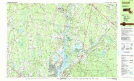
1885 to 1985The same ground, surveyed 100 years apart. Drag the handle to wipe between them. Both sheets are United States Geological Survey originals; neither has been altered.
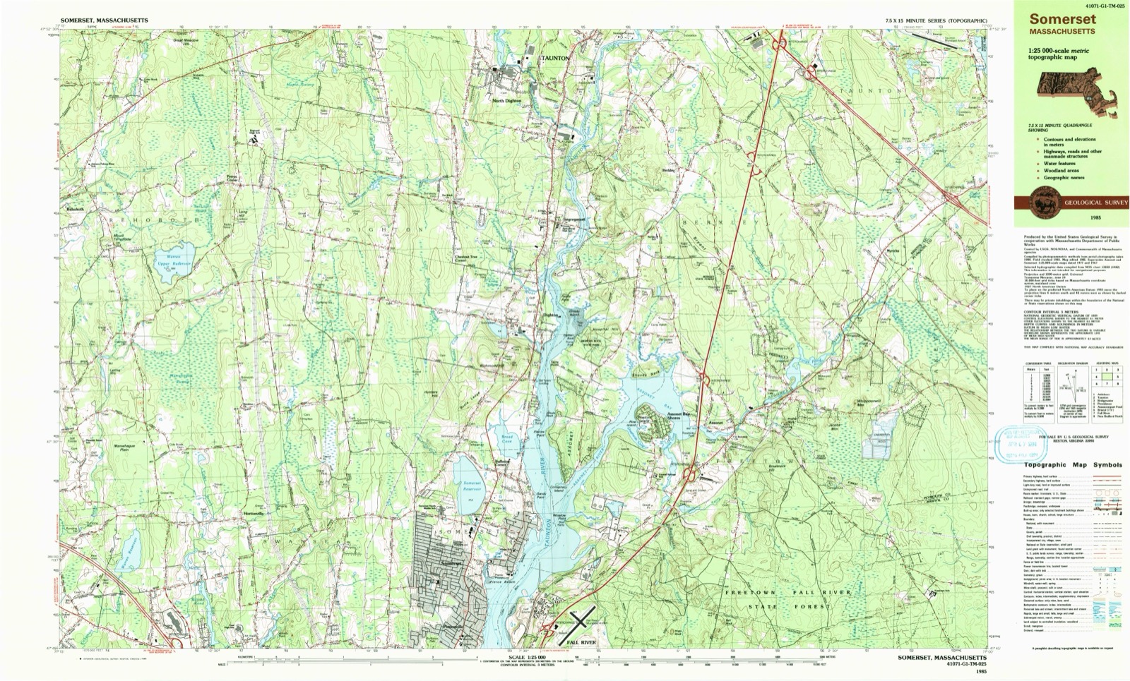
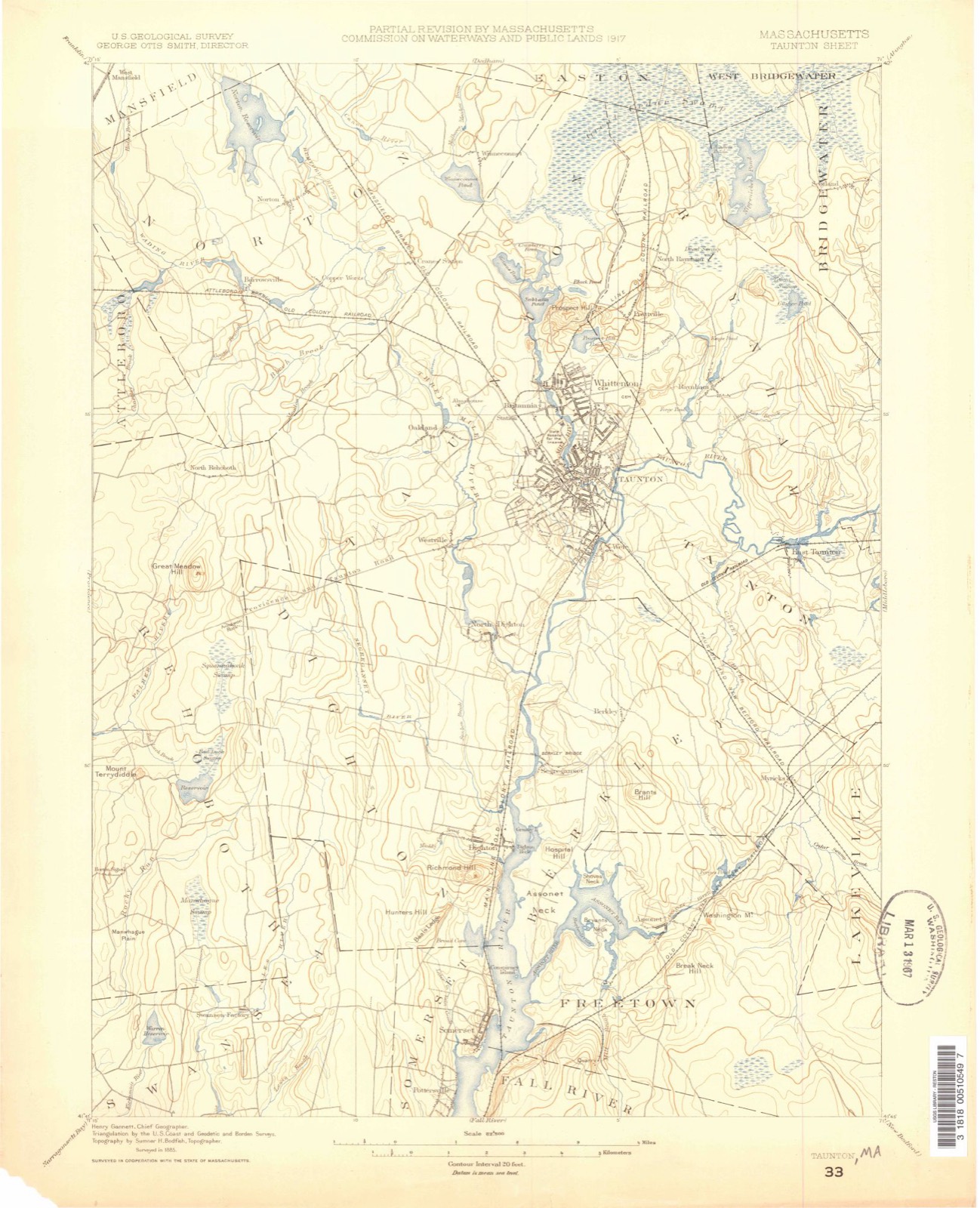
Topographic sheets covering this place
33 sheetsMatched by testing this settlement's coordinate against the published boundary of every sheet in the United States Geological Survey's historical collection. Each opens the scanned sheet at the Survey.
- 1885 USGS Taunton quadrangle1:62500
- 1888 USGS Taunton quadrangle1:62500
- 1893 USGS Taunton quadrangle1:62500
- 1893 USGS Taunton quadrangle1:62500
- 1893 USGS Taunton quadrangle1:62500
- 1893 USGS Taunton quadrangle1:62500
- 1893 USGS Taunton quadrangle1:62500
- 1893 USGS Taunton quadrangle1:62500
- 1893 USGS Taunton quadrangle1:62500
- 1918 USGS Taunton quadrangle1:62500
- 1943 USGS Providence quadrangle1:125000
- 1943 USGS Somerset quadrangle1:31680
- 1943 USGS Somerset quadrangle1:31680
- 1943 USGS Somerset quadrangle1:31680
- 1943 USGS Somerset quadrangle1:31680
- 1947 USGS Providence quadrangle1:250000
- 1947 USGS Providence quadrangle1:250000
- 1947 USGS Providence quadrangle1:250000
- 1947 USGS Providence quadrangle1:250000
- 1947 USGS Providence quadrangle1:250000
- 1948 USGS Providence quadrangle1:250000
- 1948 USGS Somerset quadrangle1:24000
- 1948 USGS Somerset quadrangle1:24000
- 1957 USGS Providence quadrangle1:250000
- 1958 USGS Providence quadrangle1:250000
- 1963 USGS Providence quadrangle1:250000
- 1967 USGS Somerset quadrangle1:25000
- 1967 USGS Somerset quadrangle1:24000
- 1977 USGS Somerset quadrangle1:25000
- 1979 USGS Taunton quadrangle1:50000
- 1984 USGS Providence quadrangle1:100000
- 1985 USGS Somerset quadrangle1:25000
- 1985 USGS Somerset quadrangle1:25000









In the county-history sources
29,406 words on this townshipHistory of Bristol County, Massachusetts, with Biographical Sketches of Many of Its Pioneers and Prominent Men, published 1883 names this settlement in its chapter on Somerset Town. These are the passages that mention it, exactly as the scans read.
George H. Talbot was born March 17, 1846, in Dighton, Bristol Co., Mass. He is tbe son of Joseph and Mary L. (Pratt) Talbot, of that town. His mother was a daughter of Lemuel and Alma Pratt, and was born Oct. 21, 1S11. His father, Joseph Talbot, was the son of Joseph and Anna Talbot, and was born Oct. 5, 1809. He was a farmer. It is impossible to trace with certainty the ancestral history of this particular branch of the Talbot family, as there have been no records kept. The name is one that has figured largely, however, in the affairs of both this country and Europe, and some of the early settlers of New England bore that cognomen.
Passage source: History of Bristol County, Massachusetts, with Biographical Sketches of Many of Its Pioneers and Prominent Men, published 1883.
The original record-book of the " Shawomat Lands" is still extant, and upon its first page bears the following inscription : " This Book was Begun in ye yeare, 1680, By Increase Robinson, Clark for The Said purchasers."
Passage source: History of Bristol County, Massachusetts, with Biographical Sketches of Many of Its Pioneers and Prominent Men, published 1883.
At this meeting it was " voted, as their joint agreement, that the said lands shall be divided into thirty and one shares, whereof one of the said shares shall be laid out in a convenient place for a minister, and to be perpetually for the use of the ministry."
Passage source: History of Bristol County, Massachusetts, with Biographical Sketches of Many of Its Pioneers and Prominent Men, published 1883.
Machine-read from a century-old scan, so expect the errors a machine makes: misspelled names, dropped words, stray characters.
Read the whole chapter on Somerset Town - it names this place 60 more 60 times.
Fires near this place
40 since 2015Regional context, not property-specific evidence. The federal wildfire occurrence database lists 40 fires within 5 miles of Somerset between 2015 and 2020, burning about 52 acres in total. None started naturally. 2 were recorded as arson. Distance is straight-line from the map coordinates, so a fire counted here may appear on a neighbouring settlement's page as well.
| Reported cause | Fires |
|---|---|
| Missing data/not specified/undetermined | 22 |
| Debris and open burning | 9 |
| Recreation and ceremony | 3 |
| Arson/incendiarism | 2 |
| Misuse of fire by a minor | 2 |
| Power generation/transmission/distribution | 1 |
| Equipment and vehicle use | 1 |
The most recent of them, most recent first, with the day each was reported and the service that recorded it.
| Date | Cause | Size | Reported by | Name on the report |
|---|---|---|---|---|
| 8 September 2020 | Recreation and ceremony | under an acre | Massachusetts Bureau of Forest Fire Control | not named |
| 20 September 2015 | Missing data/not specified/undetermined | 1.0 acres | Massachusetts Bureau of Forest Fire Control | not named |
| 16 September 2020 | Missing data/not specified/undetermined | under an acre | Massachusetts Bureau of Forest Fire Control | not named |
| 6 August 2020 | Missing data/not specified/undetermined | 1.5 acres | Massachusetts Bureau of Forest Fire Control | not named |
| 1 August 2020 | Arson/incendiarism | under an acre | Massachusetts Bureau of Forest Fire Control | not named |
| 23 July 2017 | Misuse of fire by a minor | under an acre | Massachusetts Bureau of Forest Fire Control | not named |
| 21 July 2020 | Missing data/not specified/undetermined | under an acre | Massachusetts Bureau of Forest Fire Control | not named |
| 20 July 2016 | Missing data/not specified/undetermined | under an acre | Massachusetts Bureau of Forest Fire Control | not named |
Settlements close enough to share some of these fires:
Specimens collected near this place
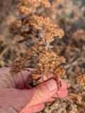
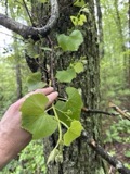
12 of 1,161 shownRegional context, not property-specific evidence. Museums hold 1,161 specimens collected within 10 miles of Somerset between 1844 and 1975: 719 Animalia, 344 Plantae, 83 Fungi, 12 Chromista, 3 Unrecorded. 12 distinct Species records are shown. Collected by ?, A E Schuyler, A. C. Birch and others. Each is a physical object with a catalogue number, and each entry opens the museum's record. This is what was collected and kept, not a survey of what lives here - nothing can be concluded from a species being absent.
| Image | Species | Year | Collected by | Where, as recorded |
|---|---|---|---|---|
 | Hibiscus moscheutos subsp. moscheutos | 1844 | not recorded | |
 | Pluchea camphorata (L.) DC. | 1844 | not recorded | |
 | Ranunculus bulbosus L. | 1850 | not recorded | |
 | Vitis labrusca L. | 1850 | not recorded | |
 | Apocynum cannabinum L. | 1855 | F. C. Seymour | Rehoboth |
 | Astur Lacepède, 1799 | 1860 | C. D. Lincoln | Taunton |
 | Carex panicea L. | 1863 | J. H. Dean | |
 | Carex L. | 1864 | J. H. Dean | Taunton. |
 | Carex vulpinoidea Michx. | 1864 | J. H. Dean | |
 | Chondrus crispus Stackhouse | 1874 | F. Wolle | Fall River |
 | Conomitrium julianum (Savi ex DC.) Mont. | 1874 | unknown | Fall River |
 | Doellingeria umbellata (Mill.) Nees | 1874 | J. H. Redfield |
All 1,161 specimens within 10 miles, at the Global Biodiversity Information Facility.
Mines and quarries near this place
5 within 5 milesRegional context, not property-specific evidence. The federal mineral resources record lists 5 workings within 5 miles of Somerset: 3 past producers, 1 plant, 1 producer. 2 still produce. What was taken out: Sand and Gravel, Construction. Distance is straight-line from the map coordinates, so a quarry counted here may appear on a neighbouring settlement's page as well.
| Where | Site | Commodity | Status | Recorded |
|---|---|---|---|---|
| Assonet Sand and Gravel Co | Sand and Gravel, Construction | Past Producer | Sedimentary | |
| East Freetown Pit & Assonet Plant | Sand and Gravel, Construction | Producer | ||
| Lanzisera Pit | Sand and Gravel, Construction | Past Producer | ||
| Randy Pit | Sand and Gravel, Construction | Past Producer | ||
| Swansea Plant | Sand and Gravel, Construction | Plant |
Storms near this place
9 since 1998Regional context, not property-specific evidence. The National Weather Service names Somerset in 9 storm reports between 1998 and 2025: 4 thunderstorm wind, 3 flash flood, 1 flood, 1 lightning. No death or injury is recorded in these reports. Each account below is quoted exactly as the forecast office filed it, from the NOAA Storm Events Database, and each date opens the federal record of that event.
| When | Event | Place named | Harm | What the report says |
|---|---|---|---|---|
| June 1998 | Flash Flood | Somerset | $570,000 | Buffington Brook |
| August 2003 | Flash Flood | Somerset | $15,000 | no account filed |
| July 2008 | Thunderstorm Wind | Somerset | $6,000 | In Somerset, three trees on Florida Avenue were downed by thunderstorm winds. A tree on Williams Street in Dighton was downed by thunderstorm winds. |
| July 2025 | Thunderstorm Wind | Somerset | $5,000 | In Fall River, numerous trees, branches, and power lines were down across the city. At least one car was damaged due to a fallen branch. |
| July 2016 | Lightning | Somerset | $5,000 | Lightning struck a tree, causing it to fall. |
| March 2008 | Thunderstorm Wind | Somerset | $3,000 | Wires were downed on Route 103 in Somerset. In addition a large tree was downed in New Bedford blocking County Street. |
| July 2023 | Flash Flood | Somerset | - | In Somerset, the northbound side of Rt 138 was flooded and closed. |
| August 2009 | Flood | Somerset | - | Two to four inches of rain fell across Bristol County, resulting in minor street flooding. In Dartmouth, Russell Mills and Horseneck Roads were flooded and impassable and Old Westport Road was flooded with six inches of water. River Road near Sylvia Street in New Bedford was closed due to flooding. Stafford Square in Fall River was flooded with water two and a half feet deep and the westbound lane of Roebson Street was flooded. |
| March 2008 | Thunderstorm Wind | Somerset | - | Wires were downed on Route 103 in Somerset. In addition a large tree was downed in New Bedford. |
Nearest settlements
The eight closest, with where each one stands in the county. Distances are straight-line, computed from the Geographic Names Information System coordinates.
| Map | Place | Distance | Sheets |
|---|---|---|---|
| Pottersville | 1.5 miles | 33 | |
| Steep Brook | 1.9 miles | 36 | |
| Camp Merriwood | 2.1 miles | 34 | |
| Old Town Landing | 2.4 miles | 34 | |
| Assonet Bay Shores | 2.8 miles | 34 | |
| Dighton | 3.1 miles | 34 | |
| Fighting Rock Corner | 3.2 miles | 31 | |
| Bowenville | 3.2 miles | 36 |
Provenance
This settlement is recorded in the Geographic Names Information System as feature 612671. The sheet list is computed by point-in-boundary test against the United States Geological Survey's historical topographic inventory. Both are works of the United States government and carry no copyright under 17 U.S.C. 105.
Wildfire. Short, Karen C. 2022. Spatial wildfire occurrence data for the United States, 1992-2020 [FPA_FOD_20221014]. 6th Edition. Fort Collins, CO: Forest Service Research Data Archive. https://doi.org/10.2737/RDS-2013-0009.6 Collected with United States Government funding and usable without additional permissions or fees.
Specimens. Global Biodiversity Information Facility (GBIF), https://www.gbif.org/. Only records licensed CC0 or CC BY are used. Records licensed CC BY-NC are excluded because this site carries advertising. Images are checked individually and any whose licence is non-commercial, no-derivatives or unreadable is refused.
Mines and quarries. USGS Mineral Resources Data System (MRDS) https://mrdata.usgs.gov/mrds/ A work of the United States government, no copyright under 17 U.S.C. 105.
Storms. NOAA National Centers for Environmental Information, Storm Events Database https://www.ncei.noaa.gov/stormevents/ A work of the United States government, no copyright under 17 U.S.C. 105. Narratives are quoted verbatim from the National Weather Service report and are not edited or summarised.