 Block
Block
South Dartmouth, Massachusetts
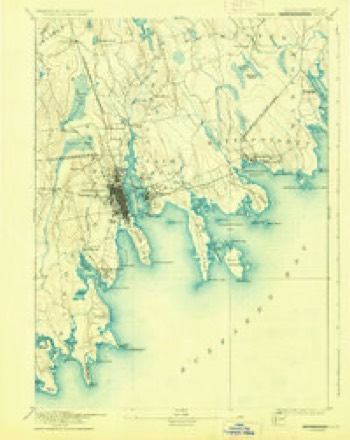
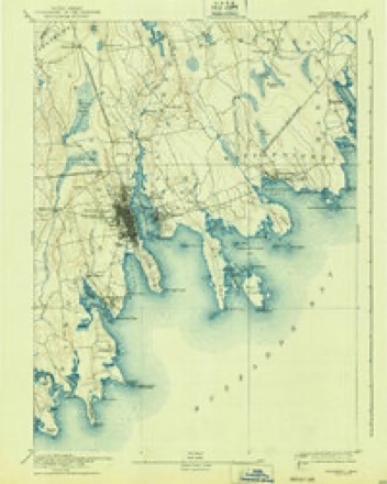
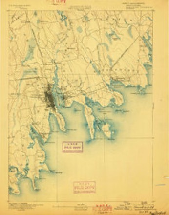
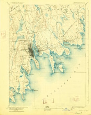
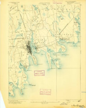
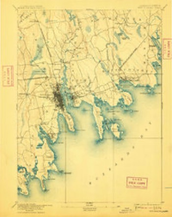
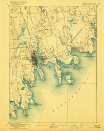
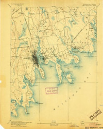
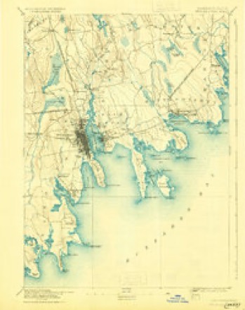
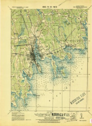
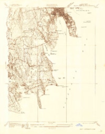
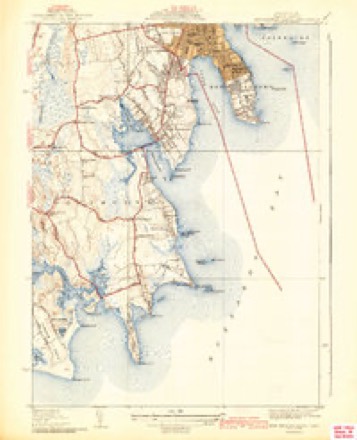
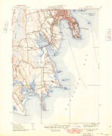
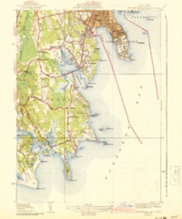
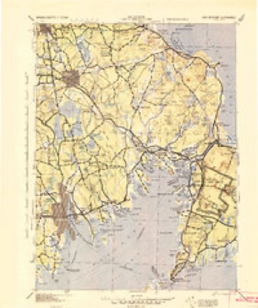
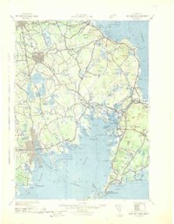
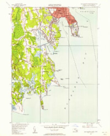
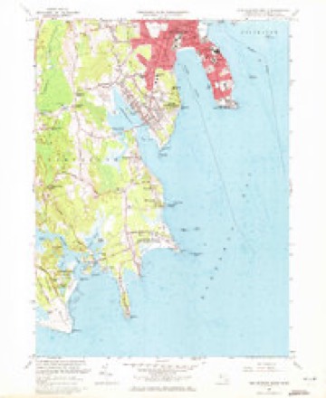
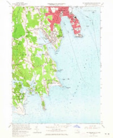
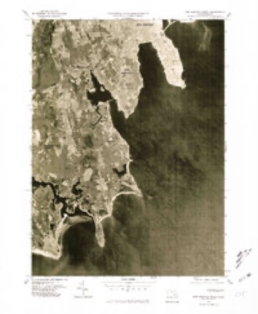
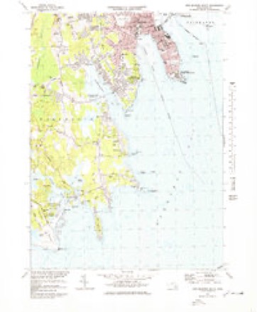
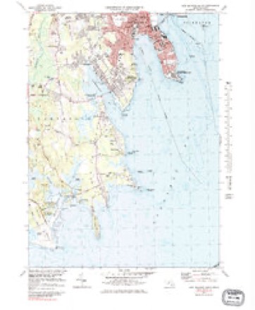
35 topographic sheets cover this place, the earliest surveyed in 1885 and the latest in 1994. It stands in Dartmouth town. It lies in ZIP code area 02748. It stands on Old Bartlemy. The Survey maps it on the New Bedford South quadrangle.
Then and now
1885 to 1994The same ground, surveyed 109 years apart. Drag the handle to wipe between them. Both sheets are United States Geological Survey originals; neither has been altered.
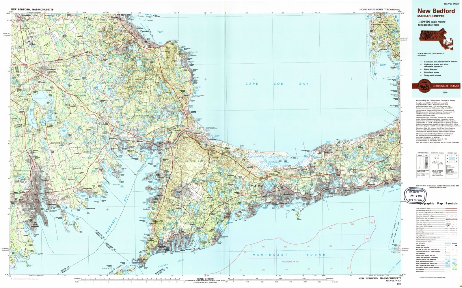
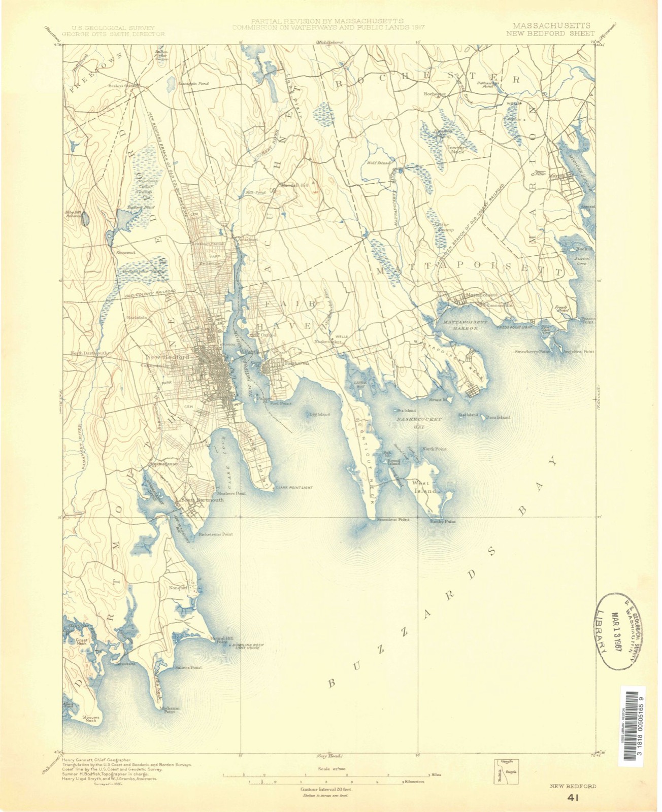
Topographic sheets covering this place
35 sheetsMatched by testing this settlement's coordinate against the published boundary of every sheet in the United States Geological Survey's historical collection. Each opens the scanned sheet at the Survey.
- 1885 USGS New Bedford quadrangle1:62500
- 1888 USGS New Bedford quadrangle1:62500
- 1893 USGS Fairhaven quadrangle1:62500
- 1893 USGS Fairhaven quadrangle1:62500
- 1893 USGS New Bedford quadrangle1:62500
- 1893 USGS New Bedford quadrangle1:62500
- 1893 USGS New Bedford quadrangle1:62500
- 1893 USGS New Bedford quadrangle1:62500
- 1893 USGS New Bedford quadrangle1:62500
- 1893 USGS New Bedford quadrangle1:62500
- 1893 USGS New Bedford quadrangle1:62500
- 1918 USGS New Bedford quadrangle1:62500
- 1936 USGS South Dartmouth quadrangle1:24000
- 1941 USGS New Bedford South quadrangle1:31680
- 1941 USGS New Bedford South quadrangle1:31680
- 1941 USGS New Bedford South quadrangle1:31680
- 1942 USGS New Bedford quadrangle1:125000
- 1942 USGS New Bedford quadrangle1:125000
- 1947 USGS Providence quadrangle1:250000
- 1947 USGS Providence quadrangle1:250000
- 1947 USGS Providence quadrangle1:250000
- 1947 USGS Providence quadrangle1:250000
- 1947 USGS Providence quadrangle1:250000
- 1948 USGS New Bedford South quadrangle1:24000
- 1948 USGS Providence quadrangle1:250000
- 1957 USGS Providence quadrangle1:250000
- 1958 USGS Providence quadrangle1:250000
- 1963 USGS New Bedford South quadrangle1:24000
- 1963 USGS New Bedford South quadrangle1:24000
- 1963 USGS Providence quadrangle1:250000
- 1977 USGS New Bedford South quadrangle1:25000
- 1977 USGS New Bedford South quadrangle1:25000
- 1977 USGS New Bedford South quadrangle1:25000
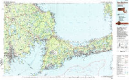
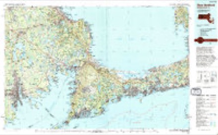
- 1986 USGS New Bedford quadrangle1:100000
- 1994 USGS New Bedford quadrangle1:100000









In the county-history sources
32,712 words on this townshipHistory of Bristol County, Massachusetts, with Biographical Sketches of Many of Its Pioneers and Prominent Men, published 1883 names this settlement in its chapter on Dartmouth Town. These are the passages that mention it, exactly as the scans read.
He married, Nov. 12, 1837, Sarah, daughter of Abiatha and Sarah Crane, of Berkley, by whom he had two children, - Rowena, born Nov. 18, 1838, married Reuben Stone, of Newton Centre, Mass., and Caleb Sumner Crane, born Nov. 16, 1840, married Jerusha Luther, is a farmer, and resides in Berkley. Mrs. Briggs died Nov. 21, 1840. Mr. Briggs married as his second wife Permillia H., daughter of Rollin Eaton, of Berkley, Oct. 6, 1841.
Passage source: History of Bristol County, Massachusetts, with Biographical Sketches of Many of Its Pioneers and Prominent Men, published 1883.
On the 29th day of November, 1652, the Indian chief Wesamequan (better known as Massasoit) and his son Wamsutta (who was sometimes called Alexander by the English) conveyed by deed to William Bradford, Capt. Standish, Thomas Southworth, John Winslow, John Cooke, and their associates all the tract or tracts of land lying three miles eastward from a river called Cushenegg to a certain harbor called Acoaksett to a flat rock on the westward side of the said harbor. In this conveyance was included all the land within these boundaries, " with all the rivers, creeks, meadows, necks, and islands that lie in and before the same, and from the sea upward to go so high that the English may not be annoyed by the hunting of the Indians in any sort of their cattle."
Passage source: History of Bristol County, Massachusetts, with Biographical Sketches of Many of Its Pioneers and Prominent Men, published 1883.
The metes and bounds of this grant do not appear to be very definitely or clearly stated. More attention seems to have been given by the conveyancer to the consideration which the Indian chieftains were to receive. The price paid was thirty yards of cloth, eight moose-skins, fifteen axes, fifteen hoes, fifteen pair of breeches, eight blankets, two kettles, one cloak, two pounds in warn pan, eight pair stockings, eight pair shoes, one iron pot, and ten shillings in other commodities. Even in those early days, when the forests and meadows and streams apparently were not valued very highly, dissensions and disputes arose concerning the title. A younger son of Wesamequan, Philip, sagamore of Pokannockett, afterwards known as one of the most bloody and remorseless of all the Indian warriors under the name of King Philip, had not been consulted or had not given his written assent to the original conveyance. He soon began to annoy the settlers by frequent acts of trespass, and to question the correctness of the boundary lines. We find by the records that agents (referees) were appointed "to set out and mark the bounds," and in 1665 Philip gave a quit-claim which quieted the title.
Passage source: History of Bristol County, Massachusetts, with Biographical Sketches of Many of Its Pioneers and Prominent Men, published 1883.
Machine-read from a century-old scan, so expect the errors a machine makes: misspelled names, dropped words, stray characters.
Read the whole chapter on Dartmouth Town - it names this place 1 more 1 time.
Fires near this place
23 since 2015Regional context, not property-specific evidence. The federal wildfire occurrence database lists 23 fires within 5 miles of South Dartmouth between 2015 and 2020, burning about 13 acres in total. None started naturally. 1 was recorded as arson. Distance is straight-line from the map coordinates, so a fire counted here may appear on a neighbouring settlement's page as well.
| Reported cause | Fires |
|---|---|
| Missing data/not specified/undetermined | 13 |
| Debris and open burning | 6 |
| Misuse of fire by a minor | 1 |
| Arson/incendiarism | 1 |
| Fireworks | 1 |
| Recreation and ceremony | 1 |
The most recent of them, most recent first, with the day each was reported and the service that recorded it.
| Date | Cause | Size | Reported by | Name on the report |
|---|---|---|---|---|
| 22 September 2016 | Missing data/not specified/undetermined | under an acre | Massachusetts Bureau of Forest Fire Control | not named |
| 9 August 2016 | Missing data/not specified/undetermined | under an acre | Massachusetts Bureau of Forest Fire Control | not named |
| 23 August 2018 | Debris and open burning | under an acre | Massachusetts Bureau of Forest Fire Control | not named |
| 23 August 2017 | Missing data/not specified/undetermined | under an acre | Massachusetts Bureau of Forest Fire Control | not named |
| 22 August 2020 | Fireworks | under an acre | Massachusetts Bureau of Forest Fire Control | not named |
| 11 August 2020 | Missing data/not specified/undetermined | under an acre | Massachusetts Bureau of Forest Fire Control | not named |
| 21 June 2017 | Missing data/not specified/undetermined | 1.0 acres | Massachusetts Bureau of Forest Fire Control | not named |
| 4 May 2017 | Misuse of fire by a minor | under an acre | Massachusetts Bureau of Forest Fire Control | not named |
Settlements close enough to share some of these fires:
Specimens collected near this place
12 of 2,639 shownRegional context, not property-specific evidence. Museums hold 2,639 specimens collected within 10 miles of South Dartmouth between 1824 and 1975: 970 Animalia, 887 Plantae, 554 Fungi, 193 Chromista, 30 Bacteria, 5 Unrecorded. 12 distinct Species records are shown. Collected by A. B. Gridley, A. B. Seymour, A. Clark and others. Each is a physical object with a catalogue number, and each entry opens the museum's record. This is what was collected and kept, not a survey of what lives here - nothing can be concluded from a species being absent.
| Image | Species | Year | Collected by | Where, as recorded |
|---|---|---|---|---|
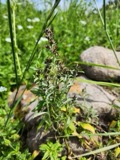 | Gamochaeta purpurea (L.) Cabrera | 1824 | T. A. Greene | |
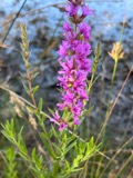 | Lythrum salicaria L. | 1831 | T. A. Greene | |
 | Mentha aquatica L. | 1831 | Collector unknown | New Bedford. [Inferred county from precise loc.] |
 | Trypethelium virens Tuck. | 1848 | ex herb. Oakes | New Bedford. |
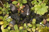 | Endocarpon pusillum Hedw. | 1858 | H. Willey | Fort Phoenix. Fairhaven. |
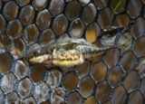 | Apeltes quadracus (Mitchill, 1815) | 1860 | D. Jordan | Penikese Islands |
 | Bufo fowleri Hinckley, 1882 | 1860 | unknown | Penikese Island |
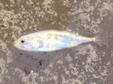 | Gasterosteus aculeatus Linnaeus, 1758 | 1860 | D. Jordan | Penikese Islands |
 | Menegazzia terebrata (Hoffm.) A.Massal. | 1860 | H. Willey | New Bedford |
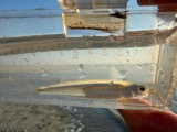 | Menidia menidia (Linnaeus, 1766) | 1860 | unknown | Penikese Island |
 | Pandion haliaetus (Linnaeus, 1758) | 1860 | Alan Poole | Westport, Westport River, Allens Pond Wildlife Sanctuary |
 | Scolopax minor J.F.Gmelin, 1789 | 1860 | Alan Poole | Westport |
All 2,639 specimens within 10 miles, at the Global Biodiversity Information Facility.
Mines and quarries near this place
5 within 5 milesRegional context, not property-specific evidence. The federal mineral resources record lists 5 workings within 5 miles of South Dartmouth: 4 past producers, 1 producer. 1 still produces. What was taken out: Sand and Gravel, Construction, Stone. Distance is straight-line from the map coordinates, so a quarry counted here may appear on a neighbouring settlement's page as well.
| Where | Site | Commodity | Status | Recorded |
|---|---|---|---|---|
| Clearwater Stone Inc | Stone | Past Producer | ||
| Clearwater Pit and Plant | Sand and Gravel, Construction | Past Producer | ||
| Dartmouth Town Pit | Sand and Gravel, Construction | Past Producer | ||
| Medeiros Washed Sand & Stone Pit | Sand and Gravel, Construction | Producer | ||
| Pine Hill Sand and Gravel | Sand and Gravel, Construction | Past Producer | Sedimentary |
Storms near this place
11 since 1998Regional context, not property-specific evidence. The National Weather Service names South Dartmouth in 11 storm reports between 1998 and 2021: 3 flash flood, 3 flood, 2 hail, 2 thunderstorm wind. No death or injury is recorded in these reports. Each account below is quoted exactly as the forecast office filed it, from the NOAA Storm Events Database, and each date opens the federal record of that event.
| When | Event | Place named | Harm | What the report says |
|---|---|---|---|---|
| July 2012 | Flash Flood | South Dartmouth | $100,000 | In New Bedford, West Rodney French Boulevard, Cove, Roosevelt, Orchard, Fair, Purchase, Weld, Penniman, and Allen Streets, and Rockdale Avenue were all flooded with 6 to 12 inches of water. Belleville Avenue between Hatch and Covell Streets was flooded with three feet of water. Cars were backed up on Route 18 at the Weld Street offramp due to flooding on the ramp. Basements were flooded on several streets. A manhole cover was blown off by flooding on Acushnet Avenue. The Coggeshall Street onramp to Interstate 195 westbound was flooded and impassable. A funeral home car was stuck in two feet of water on Dartmouth Street. In Fairhaven, the intersection of Washington and Adams Streets was flooded. |
| May 2006 | Flood | South Dartmouth | $50,000 | Paskamanset River |
| June 2016 | Flash Flood | South Dartmouth | $30,000 | Over an inch of rain fell in 30 minutes in New Bedford, resulting in widespread flash flooding. Numerous streets were flooded, including: Coffin Avenue near Purchase Street, Purchase and Dean Streets, Purchase and Coggeshall Streets, Dean and Purchase Streets, Cove Road near the hurricane barrier, Sawyer and Purchase Streets, and Belleville Avenue. Several cars were stuck in the flood waters, including at Purchase and Dean Streets. Manhole covers had come off in several locations as well. |
| June 2013 | Flood | South Dartmouth | $20,000 | Three to five inches of rain fell across Bristol County. A house on Margin Street in New Bedford was flooded with four feet of water. River Road near Wood Street was closed due to flooding. |
| September 2021 | Thunderstorm Wind | South Dartmouth | $15,000 | Damage in Dartmouth was consistent with straight-line winds with maximum gusts estimated at 65 mph. The damage occurred on Sunset lane and adjacent portions of Stoneledge Road to the north and Swift road to the south. Large maple and oak trees were mostly blown down and some large branches were broken off of others. |
| September 2010 | Lightning | South Dartmouth | $10,000 | Lightning struck the Southeast Massachusetts Amateur Radio Association Building resulting in damage some of the equipment, including a 900MHz repeater, and the clubs internet and phone service. |
| May 2005 | Thunderstorm Wind | South Dartmouth | $5,000 | no account filed |
| August 2012 | Flood | South Dartmouth | - | Cove Road was closed due to one foot of water over the road. |
| February 2011 | Hail | South Dartmouth | - | Dime sized hail was reported at 9:40 pm EST in South Dartmouth, MA. |
| April 2001 | Flash Flood | South Dartmouth | - | Paskamanset River |
| June 1998 | Hail | South Dartmouth | - | no account filed |
Nearest settlements
The eight closest, with where each one stands in the county. Distances are straight-line, computed from the Geographic Names Information System coordinates.
| Map | Place | Distance | Sheets |
|---|---|---|---|
| Redgate Corner | 0.9 miles | 35 | |
| Apponagansett | 1.3 miles | 35 | |
| Bayview | 1.3 miles | 35 | |
| Bliss Corner | 1.4 miles | 35 | |
| Nonquitt | 2.0 miles | 35 | |
| Wilburite Corner | 2.1 miles | 35 | |
| Macomber Corner | 2.1 miles | 35 | |
| Shore Acres | 2.4 miles | 35 |
Elsewhere
Matched on this settlement's Geographic Names Information System number rather than its name, so it cannot be a different place of the same name in another state.
| Wikidata item Q122555913 | The structured record the population and elevation above come from. Public domain (CC0). |
Provenance
This settlement is recorded in the Geographic Names Information System as feature 617443. The sheet list is computed by point-in-boundary test against the United States Geological Survey's historical topographic inventory. Both are works of the United States government and carry no copyright under 17 U.S.C. 105.
Wildfire. Short, Karen C. 2022. Spatial wildfire occurrence data for the United States, 1992-2020 [FPA_FOD_20221014]. 6th Edition. Fort Collins, CO: Forest Service Research Data Archive. https://doi.org/10.2737/RDS-2013-0009.6 Collected with United States Government funding and usable without additional permissions or fees.
Specimens. Global Biodiversity Information Facility (GBIF), https://www.gbif.org/. Only records licensed CC0 or CC BY are used. Records licensed CC BY-NC are excluded because this site carries advertising. Images are checked individually and any whose licence is non-commercial, no-derivatives or unreadable is refused.
Mines and quarries. USGS Mineral Resources Data System (MRDS) https://mrdata.usgs.gov/mrds/ A work of the United States government, no copyright under 17 U.S.C. 105.
Storms. NOAA National Centers for Environmental Information, Storm Events Database https://www.ncei.noaa.gov/stormevents/ A work of the United States government, no copyright under 17 U.S.C. 105. Narratives are quoted verbatim from the National Weather Service report and are not edited or summarised.