 Block
Block
South Perry, Ohio
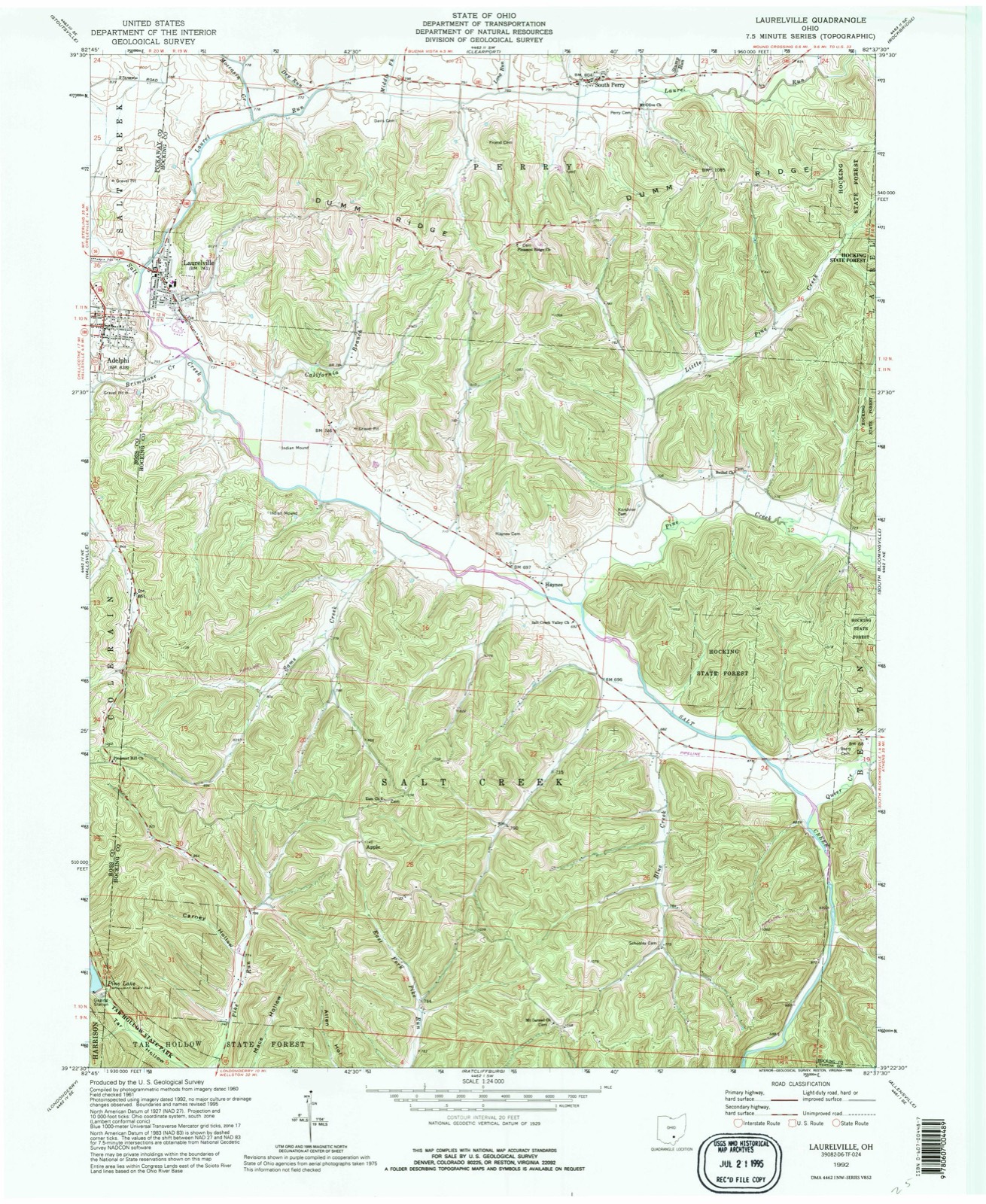
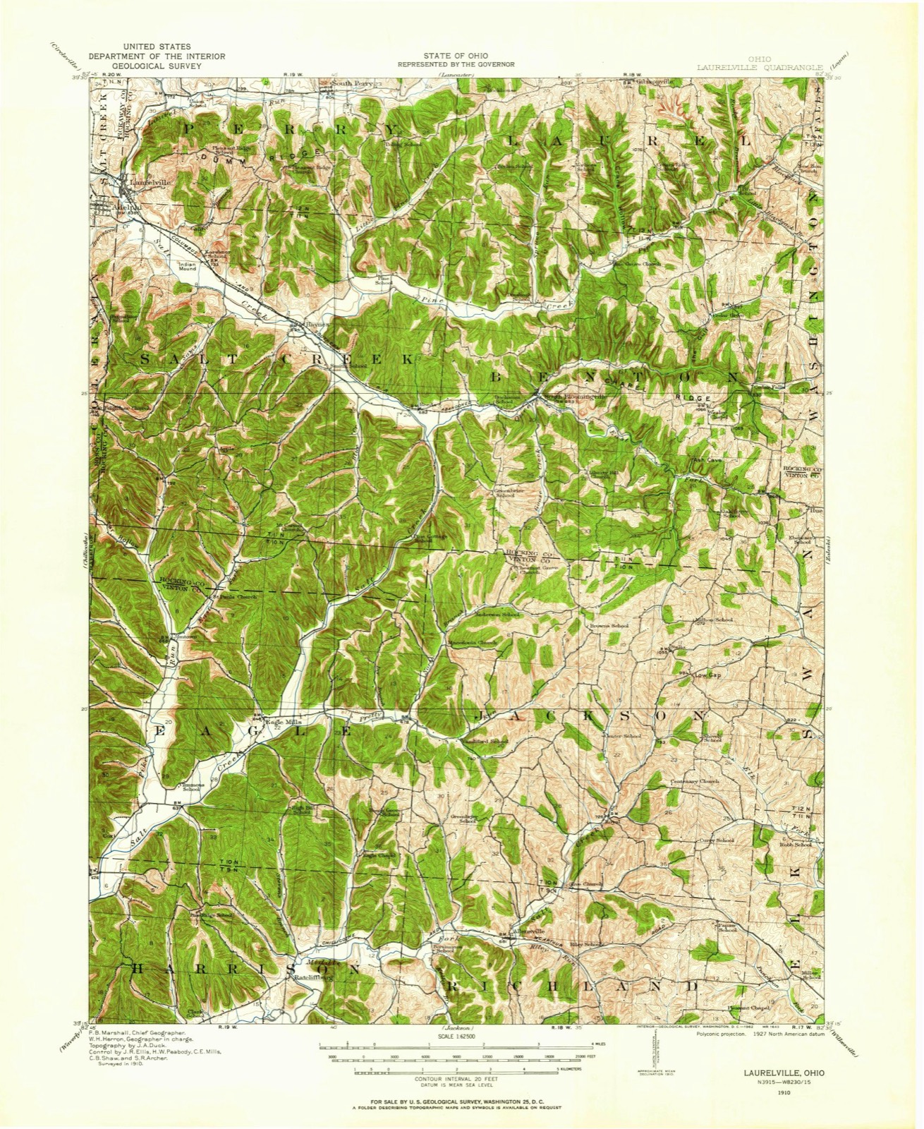
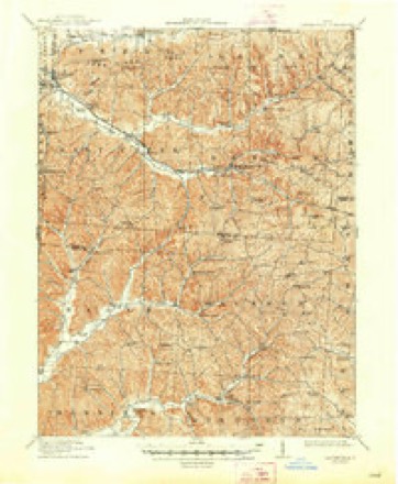
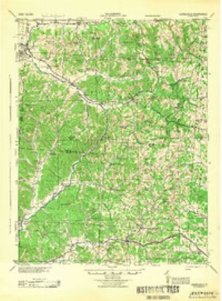
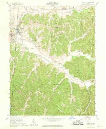
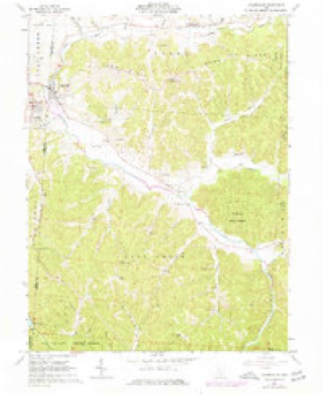
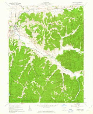
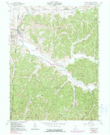
15 topographic sheets cover this place, the earliest surveyed in 1910 and the latest in 1992. It stands in Perry Township. It lies in ZIP code area 43135. It stands on Stump Run. The Survey maps it on the Laurelville quadrangle.
Then and now
1910 to 1992The same ground, surveyed 82 years apart. Drag the handle to wipe between them. Both sheets are United States Geological Survey originals; neither has been altered.
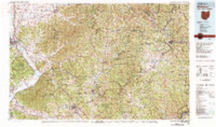
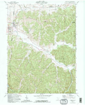
Topographic sheets covering this place
15 sheetsMatched by testing this settlement's coordinate against the published boundary of every sheet in the United States Geological Survey's historical collection. Each opens the scanned sheet at the Survey.
- 1910 USGS Laurelville quadrangle1:62500
- 1912 USGS Laurelville quadrangle1:62500
- 1912 USGS Laurelville quadrangle1:62500
- 1944 USGS Laurelville quadrangle1:62500
- 1947 USGS Columbus quadrangle1:250000
- 1961 USGS Columbus quadrangle1:250000
- 1961 USGS Laurelville quadrangle1:24000
- 1961 USGS Laurelville quadrangle1:24000
- 1961 USGS Laurelville quadrangle1:24000
- 1961 USGS Laurelville quadrangle1:24000
- 1962 USGS Columbus quadrangle1:250000
- 1967 USGS Columbus quadrangle1:250000
- 1967 USGS Columbus quadrangle1:250000
- 1980 USGS Wellston quadrangle1:100000
- 1992 USGS Laurelville quadrangle1:24000





Fires nearby
18 since 2013The federal wildfire occurrence database lists 18 fires within 5 miles of South Perry between 2013 and 2020, burning about 31 acres in total. None started naturally. 1 was recorded as arson. Distance is straight-line from the map coordinates, so a fire counted here may appear on a neighbouring settlement's page as well.
| Reported cause | Fires |
|---|---|
| Debris and open burning | 11 |
| Power generation/transmission/distribution | 2 |
| Missing data/not specified/undetermined | 2 |
| Smoking | 1 |
| Recreation and ceremony | 1 |
| Arson/incendiarism | 1 |
The most recent of them, most recent first, with the day each was reported and the service that recorded it.
| Date | Cause | Size | Reported by | Name on the report |
|---|---|---|---|---|
| 3 May 2015 | Smoking | under an acre | Ohio Department of Natural Resources | 1425 |
| 4 April 2020 | Debris and open burning | under an acre | Ohio Department of Natural Resources | 15597 |
| 24 April 2014 | Debris and open burning | under an acre | Ohio Department of Natural Resources | not named |
| 21 April 2014 | Debris and open burning | under an acre | Ohio Department of Natural Resources | not named |
| 13 April 2015 | Debris and open burning | under an acre | Ohio Department of Natural Resources | 1024 |
| 1 April 2014 | Missing data/not specified/undetermined | 10 acres | Ohio Department of Natural Resources | not named |
| 9 March 2013 | Recreation and ceremony | under an acre | Ohio Department of Natural Resources | not named |
| 8 March 2020 | Debris and open burning | 1.0 acres | Ohio Department of Natural Resources | 15489 |
Settlements close enough to share some of these fires:
Specimens collected nearby
12 of 2,185 shownMuseums hold 2,185 specimens collected within 10 miles of South Perry between 1911 and 1975: 1,533 Animalia, 323 Fungi, 304 Plantae, 11 Bacteria, 9 Unrecorded, 5 Protozoa. 12 distinct Species records are shown. Collected by ?, A VERWYST, A. L. Welden and others. Each is a physical object with a catalogue number, and each entry opens the museum's record. This is what was collected and kept, not a survey of what lives here - nothing can be concluded from a species being absent.
| Image | Species | Year | Collected by | Where, as recorded |
|---|---|---|---|---|
 | Cardinalis cardinalis (Linnaeus, 1758) | 1911 | Bales, B. R. | 1 mi W of South Bloomingville, Hocking, Ohio, USA |
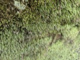 | Bryoxiphium norvegicum (Brid.) Mitt. | 1914 | Clara G. Mark | 6 mi. S of Lancaster |
 | Eratoneura hartii (Gillette, 1898) | 1915 | Dwight Moore DeLong | |
 | Bombus impatiens Cresson, 1863 | 1916 | not recorded | Rockbridge |
 | Bombus pensylvanicus (De Geer, 1773) | 1916 | not recorded | Rockbridge |
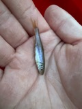 | Clinostomus elongatus (Kirtland, 1840) | 1927 | Trautman, M. B. (Milton Bernard) | Queer Creek, within Hocking County OH no other locality info coordinates approximate |
 | Desmognathus fuscus (Rafinesque, 1820) | 1927 | Trautman, M. B. (Milton Bernard) & Foster, R. B. (Robert B.) | Old Man's Cave, Benton Twp., Hocking Co., Ohio |
 | Etheostoma variatum Kirtland, 1840 | 1927 | MB Trautman | Salt Creek |
| Eumeces fasciatus (Linnaeus, 1758) | 1927 | Thomas, E. S. (Edward S.) | Clear Creek, Hocking Co., Ohio | |
 | Eurycea longicauda longicauda (Green, 1818) | 1927 | Hine, J. S. (James Stewart) | Clear Creek Valley, Good Hope Twp., Hocking Co., Ohio |
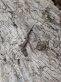 | Plethodon cinereus (Green, 1818) | 1927 | Hine, J. S. (James Stewart) | Clear Creek, Good Hope Twp., Hocking Co., Ohio |
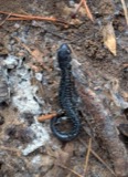 | Plethodon glutinosus (Green, 1818) | 1927 | Hine, J. S. (James Stewart) | Clear Creek, Good Hope Twp., Hocking Co., Ohio |
All 2,185 specimens within 10 miles, at the Global Biodiversity Information Facility.
Storms nearby
6 since 2017The National Weather Service names South Perry in 6 storm reports between 2017 and 2024: 3 flood, 2 tornado, 1 flash flood. No death or injury is recorded in these reports. Each account below is quoted exactly as the forecast office filed it, from the NOAA Storm Events Database, and each date opens the federal record of that event.
| When | Event | Place named | Harm | What the report says |
|---|---|---|---|---|
| May 2019 | Tornado (EF2) | South Perry | $1,500,000 | The tornado initially touched down about 50 yards west of Union Road/Township Highway 145, where extensive and somewhat severe tree damage was observed at multiple points. More significant structural damage was observed at a home on Wolfe Road, where the second level was completely destroyed and removed from the structure. Windows were blown out of cars on the property and a garage was also completely destroyed. Other homes in the vicinity received minor structural damage, including partial roof removal from several homes. Nearby trees were debarked with significant and severe tree damage extending a bit further east. This continuation of severe and widespread tree damage, including large swaths where trees appeared to have been mowed down, was observed via an aerial survey. Sheared off and flattened tree swaths had widths extending at least several hundred feet. It is because of the aerial footage, as well as on-ground survey efforts, that it was determined that the tornado width grew up to one quarter mile in width east of Union Road, leading up to Middle Fork Road. Here, several homes were impacted, with one of the homes severely damaged. A large propane tank had been thrown 20 to 30 feet from its original resting position. Moreover, a 7000 pound truck was thrown into a house. Widespread significant and severe tree damage was observed in this vicinity as well, including several instances of debarking.||The tornado continued on an eastward path east of Middle Fork Road to Long Run Road. Extensive and widespread significant tree damage was observed in this highly forested area. Several more structures along Long Run Road were damaged, either by the tornado itself or by the large trees downed throughout the area. One mobile home had a tree sever the structure in half. Downed trees in this area were several yards in diameter. Here, it is believed that the tornado maintained a width of up to one quarter of a mile.||A bit further to the east, additional but more minor tree damage was observed along Clapper Hollow Road. Tree damage in this area was less severe and less widespread than points further west. Little to no additional tree or structural damage was observed further east of Clapper Hollow Road. Therefore, it is believed that the tornado lifted shortly after passing east of Clapper Hollow Road. |
| September 2024 | Tornado (EF0) | South Perry | $10,000 | The tornado began to the east of Laurelville, near the intersection of State Routes 180 and 374. Just to the east of this intersection, several large tree limbs were knocked down and the roof of an outbuilding was lifted off. External metal walls were also removed from the outbuilding and debris from the outbuilding was thrown in multiple directions. Tree damage was also noted on Clapper Hollow Road. Additional tree damage was sporadic along State Route 180 with the last damage observed along State Route 180, just east of Big Cola Road. The damage to the outbuilding and trees occurred along a convergent path, where winds were estimated to be 70 mph. |
| February 2022 | Flood | South Perry | - | State Route 180 was closed in both directions at State Route 374 due to high water. |
| June 2021 | Flood | South Perry | - | High water was reported along State Route 180 east of Laurelville. |
| July 2019 | Flood | South Perry | - | High water was reported on State Route 180. |
| April 2017 | Flash Flood | South Perry | - | High water was reported over a road. |
Nearest settlements
The eight closest, with where each one stands in the county. Distances are straight-line, computed from the Geographic Names Information System coordinates.
| Map | Place | Distance | Sheets |
|---|---|---|---|
| Mound Crossing | 2.6 miles | 13 | |
| Rockhouse (historical) | 3.0 miles | 15 | |
| Blackburn (historical) | 3.6 miles | 13 | |
| Buena Vista | 3.7 miles | 13 | |
| Laurelville | 4.0 miles | 15 | |
| Haynes | 4.3 miles | 15 | |
| Pursell (historical) | 5.4 miles | 15 | |
| Gibisonville | 5.5 miles | 15 |
Elsewhere
Matched on this settlement's Geographic Names Information System number rather than its name, so it cannot be a different place of the same name in another state.
| Wikidata item Q122597033 | The structured record the population and elevation above come from. Public domain (CC0). |
Provenance
This settlement is recorded in the Geographic Names Information System as feature 1046489. The sheet list is computed by point-in-boundary test against the United States Geological Survey's historical topographic inventory. Both are works of the United States government and carry no copyright under 17 U.S.C. 105.
Wildfire. Short, Karen C. 2022. Spatial wildfire occurrence data for the United States, 1992-2020 [FPA_FOD_20221014]. 6th Edition. Fort Collins, CO: Forest Service Research Data Archive. https://doi.org/10.2737/RDS-2013-0009.6 Collected with United States Government funding and usable without additional permissions or fees.
Specimens. Global Biodiversity Information Facility (GBIF), https://www.gbif.org/. Only records licensed CC0 or CC BY are used. Records licensed CC BY-NC are excluded because this site carries advertising. Images are checked individually and any whose licence is non-commercial, no-derivatives or unreadable is refused.
Storms. NOAA National Centers for Environmental Information, Storm Events Database https://www.ncei.noaa.gov/stormevents/ A work of the United States government, no copyright under 17 U.S.C. 105. Narratives are quoted verbatim from the National Weather Service report and are not edited or summarised.