 Block
Block
South Rehoboth, Massachusetts
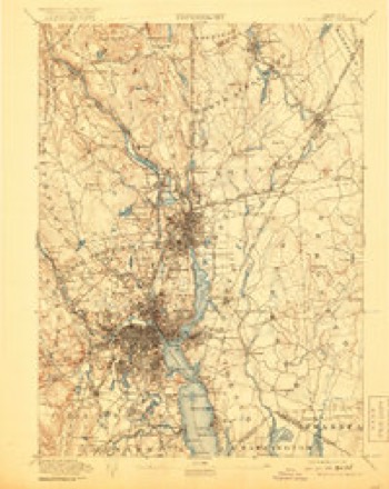
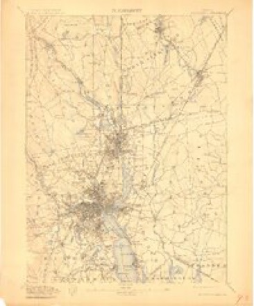
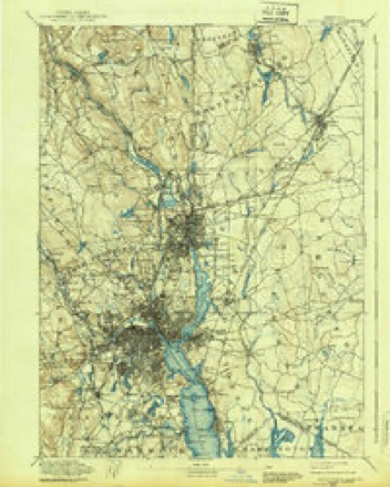
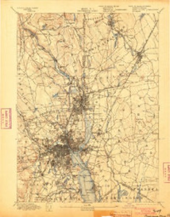
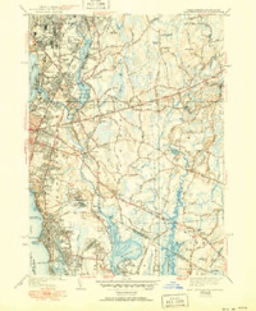
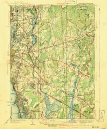
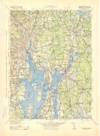
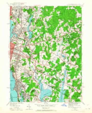
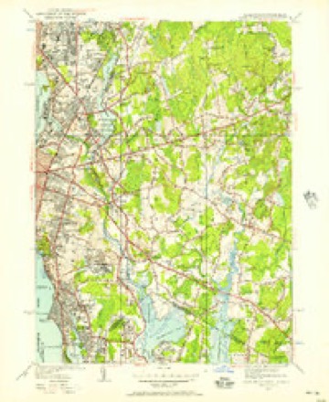
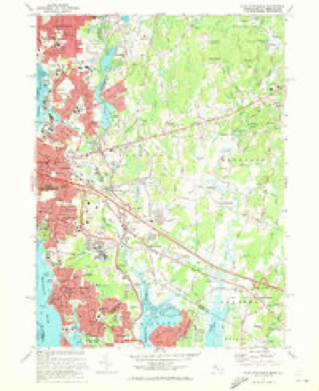
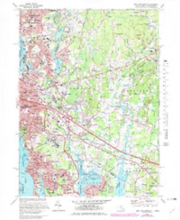
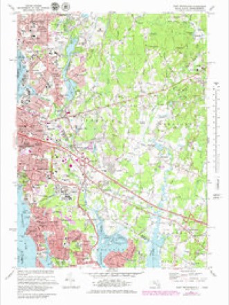
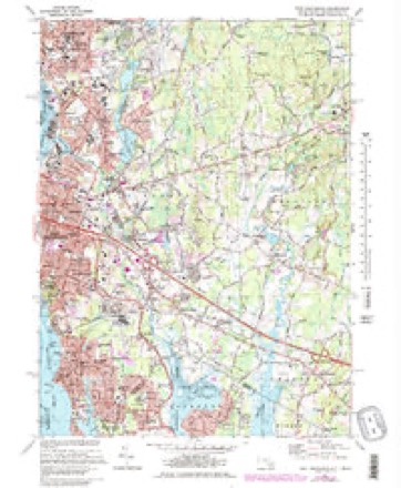
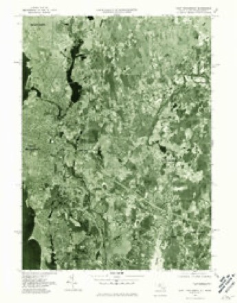
37 topographic sheets cover this place, the earliest surveyed in 1887 and the latest in 1987. It stands in Rehoboth town. It lies in ZIP code area 02769. It stands on Clear Run Brook. The Survey maps it on the East Providence quadrangle.
Then and now
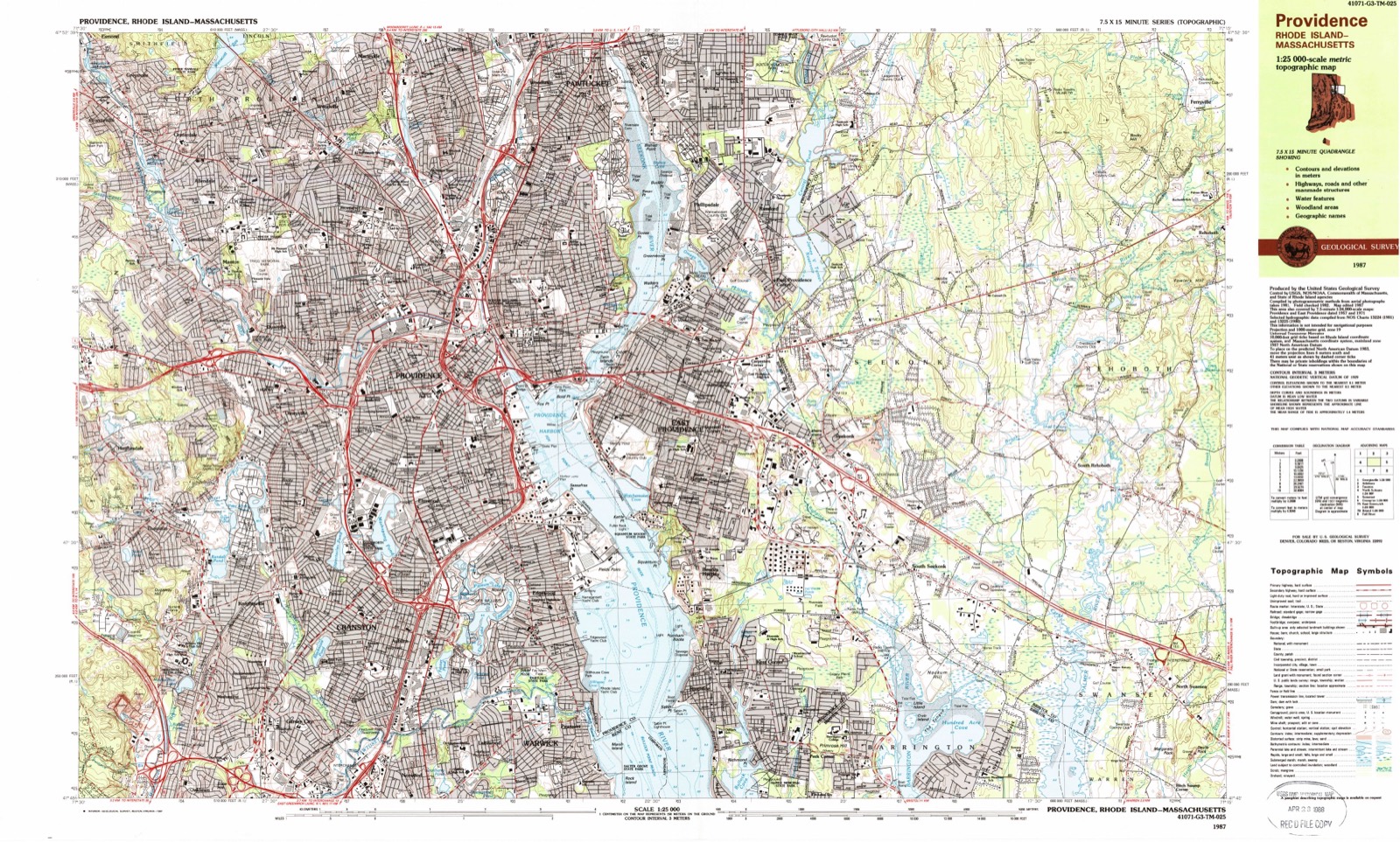
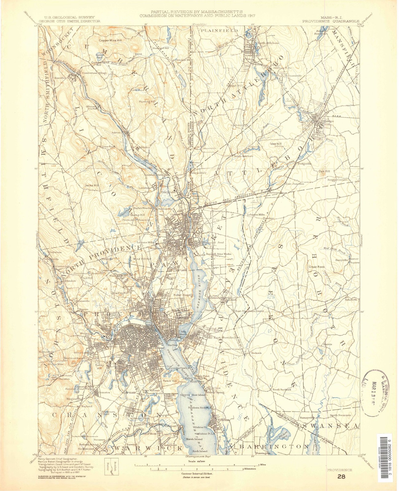
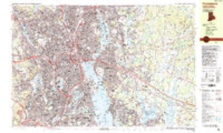
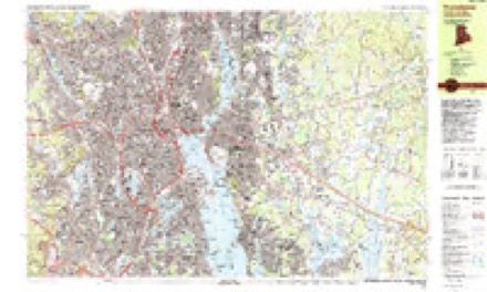
1887 to 1987The same ground, surveyed 100 years apart. Drag the handle to wipe between them. Both sheets are United States Geological Survey originals; neither has been altered.
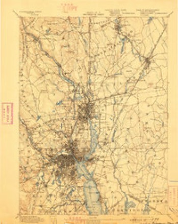
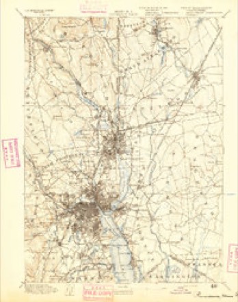
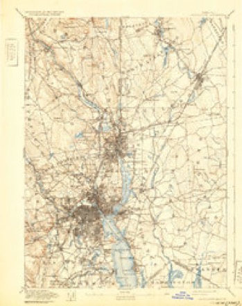
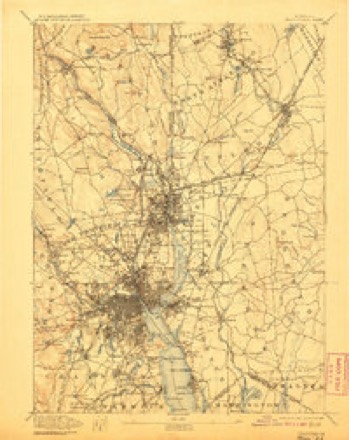
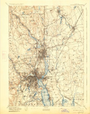
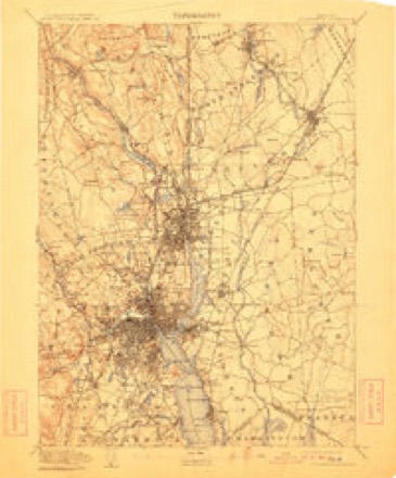
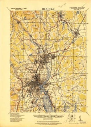
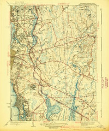
Topographic sheets covering this place
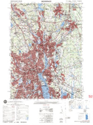
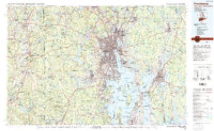
37 sheetsMatched by testing this settlement's coordinate against the published boundary of every sheet in the United States Geological Survey's historical collection. Each opens the scanned sheet at the Survey.
- 1887 USGS Providence quadrangle1:62500
- 1889 USGS Providence quadrangle1:62500
- 1894 USGS Providence quadrangle1:62500
- 1894 USGS Providence quadrangle1:62500
- 1894 USGS Providence quadrangle1:62500
- 1894 USGS Providence quadrangle1:62500
- 1894 USGS Providence quadrangle1:62500
- 1894 USGS Providence quadrangle1:62500
- 1894 USGS Providence quadrangle1:62500
- 1894 USGS Providence quadrangle1:62500
- 1894 USGS Providence quadrangle1:62500
- 1894 USGS Providence quadrangle1:62500
- 1921 USGS Providence quadrangle1:62500
- 1941 USGS East Providence quadrangle1:31680
- 1941 USGS East Providence quadrangle1:31680
- 1941 USGS East Providence quadrangle1:31680
- 1943 USGS Providence quadrangle1:125000
- 1947 USGS Providence quadrangle1:250000
- 1947 USGS Providence quadrangle1:250000
- 1947 USGS Providence quadrangle1:250000
- 1947 USGS Providence quadrangle1:250000
- 1947 USGS Providence quadrangle1:250000
- 1948 USGS Providence quadrangle1:250000
- 1949 USGS East Providence quadrangle1:24000
- 1949 USGS East Providence quadrangle1:24000
- 1957 USGS Providence quadrangle1:250000
- 1958 USGS Providence quadrangle1:250000
- 1963 USGS Providence quadrangle1:250000
- 1971 USGS East Providence quadrangle1:24000
- 1971 USGS East Providence quadrangle1:24000
- 1971 USGS East Providence quadrangle1:25000
- 1971 USGS East Providence quadrangle1:24000
- 1977 USGS East Providence quadrangle1:25000
- 1979 USGS Providence quadrangle1:50000
- 1984 USGS Providence quadrangle1:100000
- 1987 USGS Providence quadrangle1:25000
- 1987 USGS Providence quadrangle1:25000









What happened here
An account from the chapter on Rehoboth town, The inset identifies its exact source book and publication year.
More About Vaccination
No-vV is the time for the poultryman to determine whether or not it will pay him to vaccinate. All authorities agree that all pullets and cockerels should be vaccinated if there has been a recent epidemic of fowl pox or canker on the poultry plant. Even though a poultryman has not suffered loss from this disease it is probably good insurance to vaccinate.
In the county-history sources
90,994 words on this townshipHistory of Bristol County, Massachusetts, with Biographical Sketches of Many of Its Pioneers and Prominent Men, published 1883 names this settlement in its chapter on Rehoboth Town. These are the passages that mention it, exactly as the scans read.
The original Oak Swamp meeting-house stood on the corner lot at the junction of the two roads which meet a short distance south of Mr. Edward Horton's store, now the South Rehoboth post-office. This house was framed on the old cemetery lot, where Elders Comer and Round were buried, but it was taken away in the night by the Oak Swamp people, and raised on the spot above mentioned. After the death of Elder Round the church no longer existed under the " Six Principle" creed. In 1773 another church was organized, with open communion principles. Some of its members had come out from Elder John Hix's church, a close-communion Baptist, and others had been converted and baptized by Rev. Elhanan Winchester, a traveling preacher, while others still had belonged to the original church founded by Rev. John Comer. This new church ordained Mr. Jacob Hix as their pastor, Jan. 20, 1773, and held their services in the Oak Swamp meetinghouse. Elder Jacob Hix was born Jan. 1, 1740. He was the son of Elder John Hix, and brother of Elder Daniel Hix, of Dartmouth. He owned a farm and part of a mill, which, with some help from the church, enabled him to live comfortably. He had no children. He died March 30, 1809, aged sixty-nine years.
Passage source: History of Bristol County, Massachusetts, with Biographical Sketches of Many of Its Pioneers and Prominent Men, published 1883.
From 1876 to 1880, Rev. James L. Pierce was acting pastor of this church. During this time there was a revival, in which Mr. Pierce was assisted by Dr. M. L. Rossvalley, a converted Jew. The church received some additions and was much strengthened. Mr. Pierce now resides in South Rehoboth without charge, having preached at various places for more than thirty years.
Passage source: History of Bristol County, Massachusetts, with Biographical Sketches of Many of Its Pioneers and Prominent Men, published 1883.
Methodist Episcopal Church. - A Baptist Church was formed in the northeast part of the town about the year 1740. It started with forty members, and ordained Mr. Richard Round as its pastor July 13, 1743. He died May 18, 1768, and his tombstone may be seen near Rev. John Comer's in the South Rehoboth burying-ground. After his death there was no regular preaching for many years.
Passage source: History of Bristol County, Massachusetts, with Biographical Sketches of Many of Its Pioneers and Prominent Men, published 1883.
Machine-read from a century-old scan, so expect the errors a machine makes: misspelled names, dropped words, stray characters.
Read the whole chapter on Rehoboth Town - it names this place 5 more 5 times.
Fires near this place
36 since 2006Regional context, not property-specific evidence. The federal wildfire occurrence database lists 36 fires within 5 miles of South Rehoboth between 2006 and 2020, burning about 50 acres in total. None started naturally. 8 were recorded as arson. Distance is straight-line from the map coordinates, so a fire counted here may appear on a neighbouring settlement's page as well.
| Reported cause | Fires |
|---|---|
| Missing data/not specified/undetermined | 15 |
| Arson/incendiarism | 8 |
| Debris and open burning | 7 |
| Misuse of fire by a minor | 2 |
| Smoking | 2 |
| Power generation/transmission/distribution | 1 |
| Recreation and ceremony | 1 |
The most recent of them, most recent first, with the day each was reported and the service that recorded it.
| Date | Cause | Size | Reported by | Name on the report |
|---|---|---|---|---|
| 21 September 2019 | Missing data/not specified/undetermined | under an acre | Rhode Island Division of Forest Environment | not named |
| 28 August 2016 | Debris and open burning | under an acre | Massachusetts Bureau of Forest Fire Control | not named |
| 8 July 2020 | Missing data/not specified/undetermined | under an acre | Massachusetts Bureau of Forest Fire Control | not named |
| 4 July 2016 | Missing data/not specified/undetermined | under an acre | Rhode Island Division of Forest Environment | not named |
| 3 July 2017 | Debris and open burning | under an acre | Massachusetts Bureau of Forest Fire Control | not named |
| 3 July 2016 | Missing data/not specified/undetermined | under an acre | Rhode Island Division of Forest Environment | not named |
| 24 July 2020 | Arson/incendiarism | under an acre | Massachusetts Bureau of Forest Fire Control | not named |
| 2 July 2017 | Missing data/not specified/undetermined | 1.0 acres | Massachusetts Bureau of Forest Fire Control | not named |
Settlements close enough to share some of these fires:
Specimens collected near this place
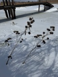
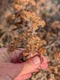
12 of 1,357 shownRegional context, not property-specific evidence. Museums hold 1,357 specimens collected within 10 miles of South Rehoboth between 1844 and 1975: 660 Plantae, 560 Animalia, 107 Fungi, 26 Chromista, 4 Unrecorded. 12 distinct Species records are shown. Collected by A E Schuyler, A., A. E. Sears and others. Each is a physical object with a catalogue number, and each entry opens the museum's record. This is what was collected and kept, not a survey of what lives here - nothing can be concluded from a species being absent.
| Image | Species | Year | Collected by | Where, as recorded |
|---|---|---|---|---|
 | Calla palustris L. | 1844 | Thurber, G. | |
 | Hibiscus moscheutos subsp. moscheutos | 1844 | not recorded | |
 | Pluchea camphorata (L.) DC. | 1844 | not recorded | |
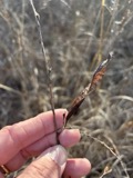 | Chamaecrista fasciculata (Michx.) Greene | 1846 | not recorded | |
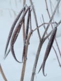 | Apocynum cannabinum L. | 1855 | F. C. Seymour | Rehoboth |
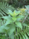 | Solidago latissimifolia Mill. | 1867 | Collector unknown | |
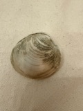 | Mercenaria mercenaria (Linnaeus, 1758) | 1870 | Lermond, Norman | Providence, Narragansett Bay. In market at Providence. |
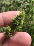 | Carex austrina Mack. | 1871 | S. T. Olney | Fields Point, Providence |
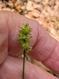 | Carex muehlenbergii Willd. | 1871 | S. T. Olney | Fields Point |
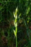 | Carex muskingumensis Schwein. | 1871 | Collector unknown | |
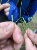 | Carex swanii (Fernald) Mack. | 1871 | Collector unknown | |
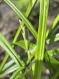 | Carex tribuloides var. tribuloides | 1871 | S. T. Olney |
All 1,357 specimens within 10 miles, at the Global Biodiversity Information Facility.
Mines and quarries near this place
2 within 5 milesRegional context, not property-specific evidence. The federal mineral resources record lists 2 workings within 5 miles of South Rehoboth: 1 past producer, 1 producer. 1 still produces. What was taken out: Sand and Gravel, Construction. Distance is straight-line from the map coordinates, so a quarry counted here may appear on a neighbouring settlement's page as well.
| Where | Site | Commodity | Status | Recorded |
|---|---|---|---|---|
| County Street Mine and Mill | Sand and Gravel, Construction | Producer | ||
| General Road Trucking Corp | Sand and Gravel, Construction | Past Producer | Sedimentary |
Nearest settlements
The eight closest, with where each one stands in the county. Distances are straight-line, computed from the Geographic Names Information System coordinates.
| Map | Place | Distance | Sheets |
|---|---|---|---|
| Harris | 1.7 miles | 37 | |
| Miles Bridge | 2.2 miles | 37 | |
| South Seekonk | 2.2 miles | 37 | |
| Barneyville | 2.3 miles | 37 | |
| Monroes | 2.7 miles | 37 | |
| North Swansea | 2.7 miles | 37 | |
| Seekonk | 2.9 miles | 37 | |
| Luthers Corners | 2.9 miles | 37 |
Elsewhere
Matched on this settlement's Geographic Names Information System number rather than its name, so it cannot be a different place of the same name in another state.
| Wikidata item Q122573151 | The structured record the population and elevation above come from. Public domain (CC0). |
Provenance
This settlement is recorded in the Geographic Names Information System as feature 617967. The sheet list is computed by point-in-boundary test against the United States Geological Survey's historical topographic inventory. Both are works of the United States government and carry no copyright under 17 U.S.C. 105.
Wildfire. Short, Karen C. 2022. Spatial wildfire occurrence data for the United States, 1992-2020 [FPA_FOD_20221014]. 6th Edition. Fort Collins, CO: Forest Service Research Data Archive. https://doi.org/10.2737/RDS-2013-0009.6 Collected with United States Government funding and usable without additional permissions or fees.
Specimens. Global Biodiversity Information Facility (GBIF), https://www.gbif.org/. Only records licensed CC0 or CC BY are used. Records licensed CC BY-NC are excluded because this site carries advertising. Images are checked individually and any whose licence is non-commercial, no-derivatives or unreadable is refused.
Mines and quarries. USGS Mineral Resources Data System (MRDS) https://mrdata.usgs.gov/mrds/ A work of the United States government, no copyright under 17 U.S.C. 105.