 Block
Block
Steuben, Ohio
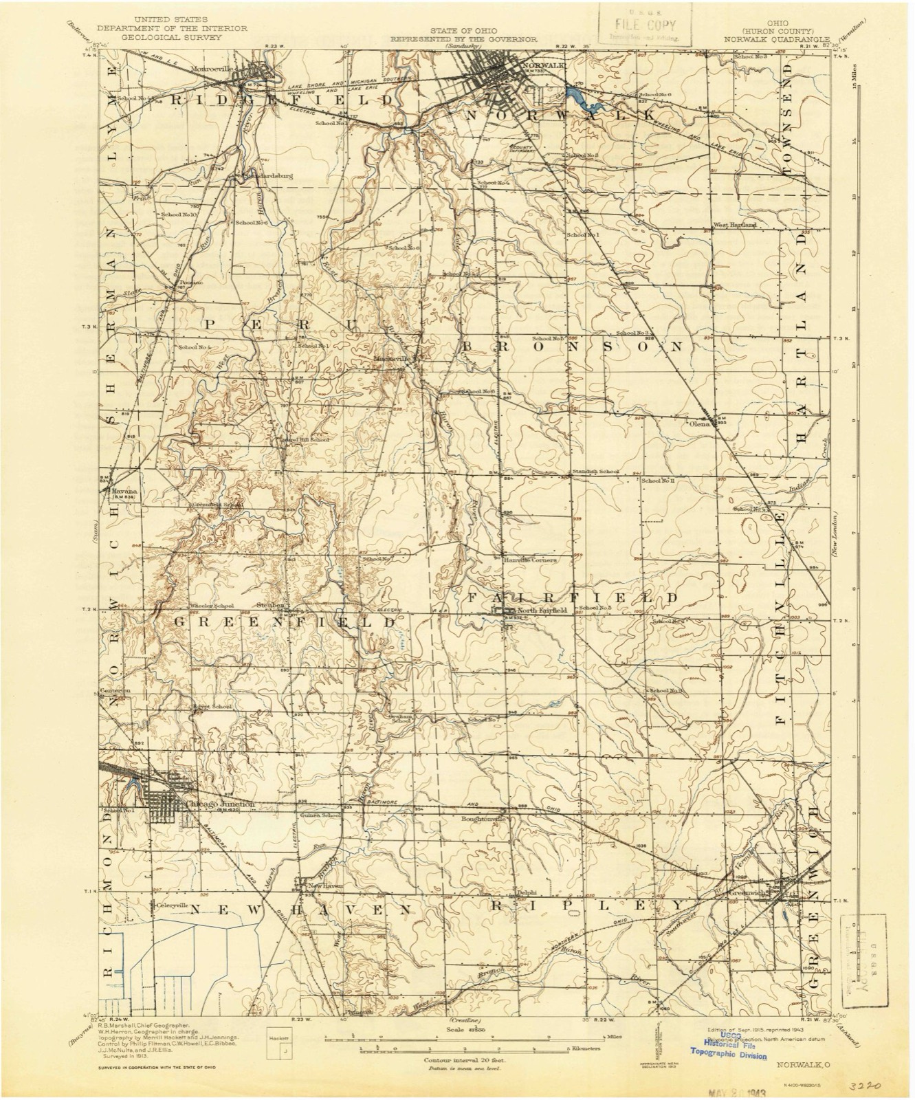
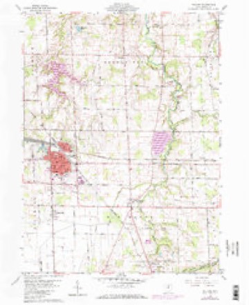
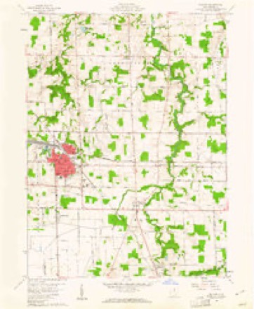
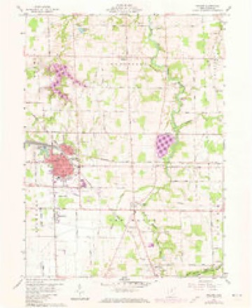
13 topographic sheets cover this place, the earliest surveyed in 1915 and the latest in 1986. It stands in Greenfield Township. It lies in ZIP code area 44890. The Survey maps it on the Willard quadrangle.
Then and now
1915 to 1986The same ground, surveyed 71 years apart. Drag the handle to wipe between them. Both sheets are United States Geological Survey originals; neither has been altered.

Topographic sheets covering this place
13 sheetsMatched by testing this settlement's coordinate against the published boundary of every sheet in the United States Geological Survey's historical collection. Each opens the scanned sheet at the Survey.
- 1915 USGS Norwalk quadrangle1:62500
- 1915 USGS Norwalk quadrangle1:62500
- 1944 USGS Norwalk quadrangle1:62500
- 1956 USGS Toledo quadrangle1:250000
- 1956 USGS Toledo quadrangle1:250000
- 1956 USGS Toledo quadrangle1:250000
- 1956 USGS Toledo quadrangle1:250000
- 1960 USGS Willard quadrangle1:24000
- 1960 USGS Willard quadrangle1:24000
- 1960 USGS Willard quadrangle1:24000
- 1961 USGS Toledo quadrangle1:250000
- 1986 USGS Lorain quadrangle1:100000
- 1986 USGS Lorain quadrangle1:100000







In the county-history sources
1,989 words on this townshipHistory of Huron County Ohio Its Progress and Development, published 1909 names this settlement in its chapter on Greenfield Township. These are the passages that mention it, exactly as the scans read.
Greenfield township was organized about the year 1815, and then embraced the townships of New Haven, Greenfield, Peru, Norwich and Fairfield, for township purposes, and continued so until each of the above townships contained a sufficient number of inhabitants for separate organization. In the year 1819, the name of this township was changed to Berlin, and continued by that name until 1822, when the name of Greenfield was restored. The reason for giving it the name of Berlin, was owing to there being a Greenfield township in Highland county, with a postoffice of the same name. At the restoration of the original name of the township, the postoffice was called Lafayette, and Joseph Cook was the first postmaster. The office continued to be called Lafayette until 1835, when the name was changed to Steuben.
Passage source: History of Huron County Ohio Its Progress and Development, published 1909.
Mr. Seba Mather opened the first public house in the township in the year 1816 which he kept until 1820, when he discontinued and established the mills east of Steuben and carried on an extensive business for thirty years when he retired to his farm and spent the remainder of his life and died at the advanced age of eighty-eight years.
Passage source: History of Huron County Ohio Its Progress and Development, published 1909.
The Steuben cemetery has been greatly improved during the past year. It has been thoroughly graded and leveled, gravel walks and roads have been made through the entire grounds, also an addition of several acres has been added and laid out into lots and numbered.
Passage source: History of Huron County Ohio Its Progress and Development, published 1909.
Machine-read from a century-old scan, so expect the errors a machine makes: misspelled names, dropped words, stray characters.
Read the whole chapter on Greenfield Township - it names this place 1 more 1 time.
Specimens collected near this place
12 of 795 shownRegional context, not property-specific evidence. Museums hold 795 specimens collected within 10 miles of Steuben between 1885 and 1974: 503 Plantae, 215 Animalia, 62 Fungi, 15 Protozoa. 12 distinct Species records are shown. Collected by A. P. Morgan, A. Woolman, Baumgartner, L. and others. Each is a physical object with a catalogue number, and each entry opens the museum's record. This is what was collected and kept, not a survey of what lives here - nothing can be concluded from a species being absent.
| Image | Species | Year | Collected by | Where, as recorded |
|---|---|---|---|---|
 | Hemiarcyria stipata (Schwein.) Rostaf., 1876 | 1885 | A. P. Morgan | Preston |
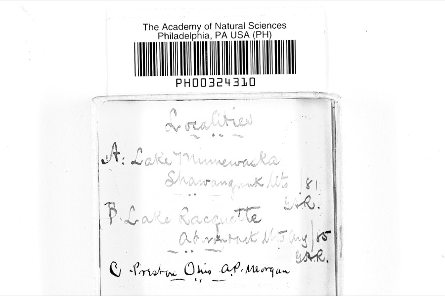 | Physarum inaequale Peck, 1878 | 1885 | A. P. Morgan | Preston |
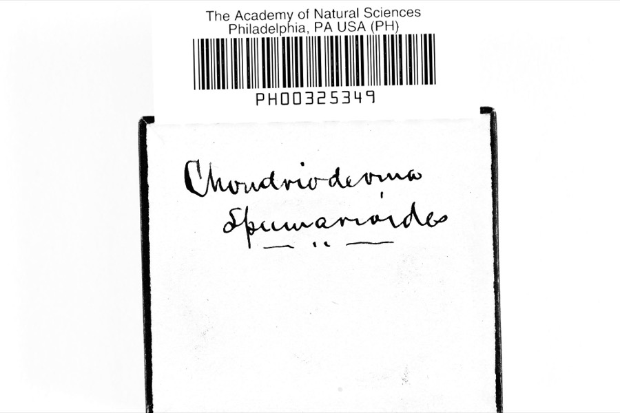 | Chondrioderma spumarioides (Fr. & Palmquist) Rostaf., 1873 | 1886 | A. P. Morgan | Preston |
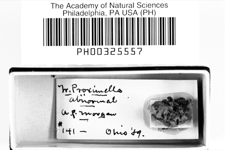 | Trichia proximella P.Karst., 1879 | 1889 | A. P. Morgan | Preston |
 | Tubifera ferruginosa (Batsch) J.F.Gmel., 1792 | 1889 | A. P. Morgan | Preston |
 | Didymium melanospermum (Pers.) T.Macbr., 1899 | 1890 | A. P. Morgan | Preston |
 | Physarum ellipsosporum Rostaf., 1876 | 1890 | A. P. Morgan | Preston |
 | Physarum relatum Morgan, 1896 | 1890 | A. P. Morgan | Preston |
 | Calonema aureum Morgan, 1893 | 1891 | A. P. Morgan | Preston |
 | Didymium eximium Peck, 1878 | 1891 | A. P. Morgan | Preston |
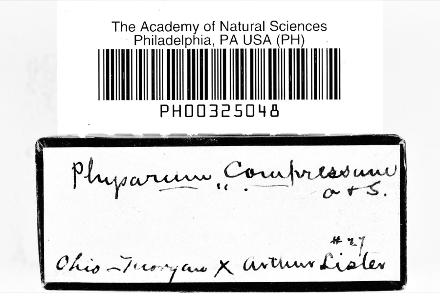 | Physarum compressum Alb. & Schwein., 1805 | 1891 | A. P. Morgan | Preston |
 | Physarum sulphureum Alb. & Schwein., 1805 | 1891 | A. P. Morgan | Preston |
All 795 specimens within 10 miles, at the Global Biodiversity Information Facility.
Mines and quarries near this place
2 within 5 milesRegional context, not property-specific evidence. The federal mineral resources record lists 2 workings within 5 miles of Steuben: 1 past producer, 1 producer. 1 still produces. What was taken out: Sand and Gravel, Construction. Distance is straight-line from the map coordinates, so a quarry counted here may appear on a neighbouring settlement's page as well.
| Where | Site | Commodity | Status | Recorded |
|---|---|---|---|---|
| Price Sand and Gravel Pit Number 2 | Sand and Gravel, Construction | Past Producer | Sedimentary | |
| Price Sand and Gravel Pit Number 2 | Sand and Gravel, Construction | Producer |
Storms near this place
5 since 2011Regional context, not property-specific evidence. The National Weather Service names Steuben in 5 storm reports between 2011 and 2025: 2 tornado, 2 thunderstorm wind, 1 flood. The reports record 1 injury. Each account below is quoted exactly as the forecast office filed it, from the NOAA Storm Events Database, and each date opens the federal record of that event.
| When | Event | Place named | Harm | What the report says |
|---|---|---|---|---|
| June 2025 | Thunderstorm Wind | Steuben | 1 hurt | Downed tree injured a person in North Fairfield. |
| February 2011 | Flood | Steuben | $750,000 | More than 127 sites on Huron County roads needed repairs after flood waters caused erosion damage. Along with severe roadside erosion, many culverts and small bridges were washed out from the flooding. |
| November 2017 | Tornado (EF0) | Steuben | $200,000 | An EF1 tornado touched down about a mile west of Steuben on the south side of State Route 162. The tornado moved north and damaged a couple large grain bins. The bins were caved in on their south facing sides. Towers on the top of the bins were toppled in different directions. A semi truck near the bins was knocked over. The tornado then crossed State Route 162 and damaged a home and a barn. The house lost a section of roofing which was found scattered to the south of the house. The tornado damaged another small grain bin before lifting over open farmland. This tornado was on the ground for just over a half mile. |
| April 2022 | Thunderstorm Wind | Steuben | $9,600 | Eight utility poles snapped and house damaged about three-miles northwest of North Fairfield. |
| June 2023 | Tornado (EF0) | Steuben | $5,000 | An EF0 tornado with estimated peak winds of 85 mph tracked southeastward from near the intersection of OH-61 and Hanville Corners Road toward the intersection of OH-162 and Walnut Road. The tornado snapped a pine tree and damaged several other trees during its brief lifespan just west of North Fairfield. |
Nearest settlements
The eight closest, with where each one stands in the county. Distances are straight-line, computed from the Geographic Names Information System coordinates.
| Map | Place | Distance | Sheets |
|---|---|---|---|
| Centerton | 3.8 miles | 12 | |
| Havana | 3.9 miles | 12 | |
| Branchwood Estates | 3.9 miles | 13 | |
| North Fairfield | 4.0 miles | 13 | |
| Hanville Corners | 4.1 miles | 13 | |
| Willard | 4.1 miles | 13 | |
| Coble Village | 4.2 miles | 13 | |
| New Haven | 5.0 miles | 13 |
Provenance
This settlement is recorded in the Geographic Names Information System as feature 1065382. The sheet list is computed by point-in-boundary test against the United States Geological Survey's historical topographic inventory. Both are works of the United States government and carry no copyright under 17 U.S.C. 105.
Specimens. Global Biodiversity Information Facility (GBIF), https://www.gbif.org/. Only records licensed CC0 or CC BY are used. Records licensed CC BY-NC are excluded because this site carries advertising. Images are checked individually and any whose licence is non-commercial, no-derivatives or unreadable is refused.
Mines and quarries. USGS Mineral Resources Data System (MRDS) https://mrdata.usgs.gov/mrds/ A work of the United States government, no copyright under 17 U.S.C. 105.
Storms. NOAA National Centers for Environmental Information, Storm Events Database https://www.ncei.noaa.gov/stormevents/ A work of the United States government, no copyright under 17 U.S.C. 105. Narratives are quoted verbatim from the National Weather Service report and are not edited or summarised.