 Block
Block
Swanton, Ohio
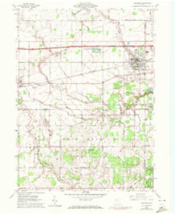
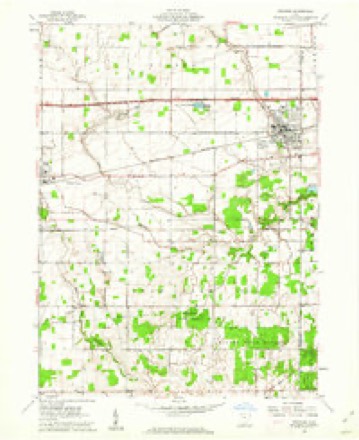
11 topographic sheets cover this place, the earliest surveyed in 1911 and the latest in 1986. It stands in Fulton Township. It lies in ZIP code area 43558. The Survey maps it on the Swanton quadrangle. 3,897 people lived here at the 2020 count. It stands 682 feet above sea level.
Population over time
2 figuresSwanton grew from 3,690 to 3,897 between 2010 and 2020. These are the recorded population figures Wikidata holds for this place, reached through the Geographic Names Information System number this page is keyed on rather than by name, so they belong to this place and not to another of the same name. Most are census counts, but not all are: an early figure may be a founding or settlement estimate. The change column is computed, and is left blank where more than 20 years separate a figure from the one before it, because a gap that long is not a change between two counts.
| Year | People | Change |
|---|---|---|
| 2010 | 3,690 | |
| 2020 | 3,897 | +207 (+6%) |
Then and now
1911 to 1986The same ground, surveyed 75 years apart. Drag the handle to wipe between them. Both sheets are United States Geological Survey originals; neither has been altered.
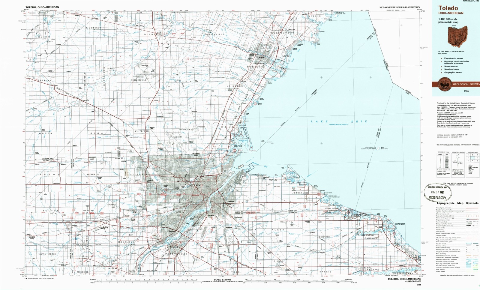
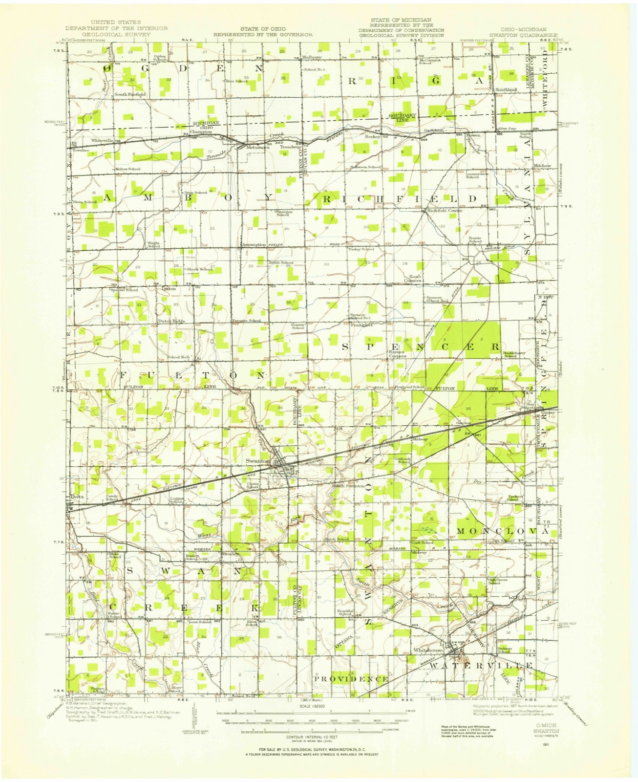
Topographic sheets covering this place
11 sheetsMatched by testing this settlement's coordinate against the published boundary of every sheet in the United States Geological Survey's historical collection. Each opens the scanned sheet at the Survey.
- 1911 USGS Swanton quadrangle1:62500
- 1914 USGS Swanton quadrangle1:62500
- 1956 USGS Toledo quadrangle1:250000
- 1956 USGS Toledo quadrangle1:250000
- 1956 USGS Toledo quadrangle1:250000
- 1956 USGS Toledo quadrangle1:250000
- 1960 USGS Swanton quadrangle1:24000
- 1960 USGS Swanton quadrangle1:24000
- 1961 USGS Toledo quadrangle1:250000
- 1986 USGS Toledo quadrangle1:100000
- 1986 USGS Toledo quadrangle1:100000





What happened here
An account from the chapter on Fulton township, The inset identifies its exact source book and publication year.
Colonial Dames Of America
AND FINALLY DESTROYED AT THE OUTBREAK OF PONTIAC'S CONSPIRACY 10TH MAY 1783 WHEN THE FORT WAS BURNED THE ENTIRE GARRISON MASSACRED WITH THE EXCEPTION OF THE COMMANDANT ENSIGN PAULI WHO WAS CARRIED OFF A PRISONER TO PONTIAC THEN BESIECINC DETROIT ERECTED BY THE OHIO SOCIETY COLONIAL DAMES OF AMERICA
In the county-history sources
538,920 words on this townshipA Standard History of Fulton County, Ohio, an Authentic Narrative of the Past, with an Extended Survey of Modern Developments in the Progress of Town and County, published 1920 names this settlement in its chapter on Fulton Township. These are the passages that mention it, exactly as the scans read.
Elmer A. Michael, son of Mr. and Mrs. Michael, of S wanton, was a member of 62nd Infantry, and was early in the service. His body lies in France, his mother, Rebecca, duly being presented with the French Government certificate written in his honor.
Passage source: A Standard History of Fulton County, Ohio, an Authentic Narrative of the Past, with an Extended Survey of Modern Developments in the Progress of Town and County, published 1920.
Again, however, the directors were to be disappointed, for across that minute the incoming chairman of the board, in the following month wrote, in a bold hand, "illegal procedings on the 14 of April 1851." However, such a state of affairs could not continue for long, and at a special meeting of the voters, held on the 19th of May, of that year, "thare wase a tax voted of Seventeen dollars, for the purpose of hying a Stove and brick for a hearth, bucket, and dipper & repairs for the Schoolhouse, and other purposes." The end of the story came on "November 22, A. D. 1851" when "An order ishued for twelve dollars, for to get a stove by William Critzer and James Watkins. Signed by me, John Watkins, Clark, and handed to Thomas Martin and William Critzer to purchase the stove, and they said they paid ten dollars for the stove." So that instead of paying fifty dollars, they eventually purchased one for ten, and, during the years of negotiation, apparently had the free use of a stove of fairly presentable appearance.
Passage source: A Standard History of Fulton County, Ohio, an Authentic Narrative of the Past, with an Extended Survey of Modern Developments in the Progress of Town and County, published 1920.
J. W. Roseborough, himself a teacher in early manhood and throughout his life an interested and strong advocate of better schools, would surely have been pleased had he lived to see the fine centralized schools of Fulton and Chesterfield Township, a change in school policy developed to some extent by the incessant agitation of such men as he, who constantly used the columns of local papers to further the thought. The editor of the "Fulton County Tribune" wrote, on January 8, 1904: "For a number of years the most ardent friends of the country schools have been advising that the schools of a township be conducted in one building, erected near the center of the township." The beginning of centralization in Fulton county, and indeed in the whole of northwestern Ohio, may be attributed to the defection of the teacher in charge of the school in District No. 3, of Fulton Township, in the spring of 1903. He resigned about two months before the end of the school term. Centralization had been theoretically agitated for many years, but the action of the teacher referred to brought the question before the directors of Fulton Township schools for immediate and practical decision. They decided to arrange for the transportation of pupils of No. 3 District school to that of District No. 2, at Ai, each morning, and return them to their homes each night. It was a success, and in the following year the pupils of District No. 8 were aho conveyed to and from the Ai school. Eventually came complete centralization of schools in that township, and the building of the present splendid schoolhouse at Ai.
Passage source: A Standard History of Fulton County, Ohio, an Authentic Narrative of the Past, with an Extended Survey of Modern Developments in the Progress of Town and County, published 1920.
Machine-read from a century-old scan, so expect the errors a machine makes: misspelled names, dropped words, stray characters.
Read the whole chapter on Fulton Township - it names this place 9 more 9 times.
Fires near this place
10 since 2007Regional context, not property-specific evidence. The federal wildfire occurrence database lists 10 fires within 5 miles of Swanton between 2007 and 2015, burning about 31 acres in total. None started naturally. 1 was recorded as arson. Distance is straight-line from the map coordinates, so a fire counted here may appear on a neighbouring settlement's page as well.
| Reported cause | Fires |
|---|---|
| Debris and open burning | 8 |
| Equipment and vehicle use | 1 |
| Arson/incendiarism | 1 |
The most recent of them, most recent first, with the day each was reported and the service that recorded it.
| Date | Cause | Size | Reported by | Name on the report |
|---|---|---|---|---|
| 16 July 2012 | Equipment and vehicle use | under an acre | Ohio Department of Natural Resources | not named |
| 13 July 2007 | Debris and open burning | under an acre | Ohio Department of Natural Resources | not named |
| 26 April 2014 | Debris and open burning | 1.0 acres | Ohio Department of Natural Resources | not named |
| 23 April 2007 | Debris and open burning | 1.0 acres | Ohio Department of Natural Resources | not named |
| 9 March 2013 | Debris and open burning | 1.2 acres | Ohio Department of Natural Resources | not named |
| 30 March 2015 | Debris and open burning | 10 acres | Ohio Department of Natural Resources | 643 |
| 28 March 2013 | Debris and open burning | under an acre | Ohio Department of Natural Resources | not named |
| 13 March 2009 | Arson/incendiarism | 6.0 acres | Ohio Department of Natural Resources | not named |
Settlements close enough to share some of these fires:
Specimens collected near this place
12 of 118 shownRegional context, not property-specific evidence. Museums hold 118 specimens collected within 10 miles of Swanton between 1924 and 1975: 102 Animalia, 14 Plantae, 2 Fungi. 12 distinct Species records are shown. Collected by Adams, K.; Adams, S., Conan J. Taylor, Davis, H.A.; Davis, T. and others. Each is a physical object with a catalogue number, and each entry opens the museum's record. This is what was collected and kept, not a survey of what lives here - nothing can be concluded from a species being absent.
| Image | Species | Year | Collected by | Where, as recorded |
|---|---|---|---|---|
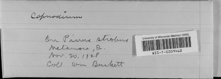 | Capnodium Mont., 1849 | 1928 | W.M. Burkett | Metamora |
 | Speyeria idalia (Drury, 1773) | 1924 | Pardon S. Remington | Swanton |
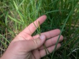 | Carex tetanica Schkuhr | 1925 | Moseley, E.L. | NW of Neapolis |
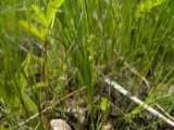 | Platanthera flava var. herbiola (R.Br.) Luer | 1926 | Moseley, E.L. | Engles, S of Swanton |
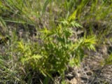 | Aureolaria pedicularia var. ambigens (Fernald) Farw. | 1927 | Wherry, E.T.; Pennell, F.W. | SE of Brailey |
 | Calamagrostis canadensis (Michx.) P.Beauv. | 1927 | Moseley, E.L. | 0.5 mi E of Brailey |
 | Carpiodes carpio (Rafinesque, 1820) | 1927 | MB Troutman | Bad Creek, near and at border. |
 | Carpiodes cyprinus (Lesueur, 1817) | 1927 | MB Trautman | Bad Creek, near and at border of Henry Co. |
 | Silene noctiflora L. | 1927 | Moseley, E.P. | near Swanton |
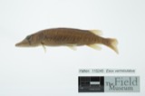 | Esox vermiculatus Lesueur, 1846 | 1929 | Trautman, M. B. (Milton Bernard) | Swan Creek, near Swanton, ~1.6 mi S of Swanton, Swan Creek township |
 | Fundulus notatus (Rafinesque, 1820) | 1929 | Trautman, M. B. (Milton Bernard) | Swan Creek, near Swanton, ~1.6 mi S of Swanton, Swan Creek township |
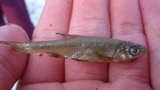 | Notemigonus crysoleucas (Mitchill, 1814) | 1929 | Trautman, M. B. (Milton Bernard) | Swan Creek, near Swanton, ~1.6 mi S of Swanton, Swan Creek township |
All 118 specimens within 10 miles, at the Global Biodiversity Information Facility.
Storms near this place
13 since 1994Regional context, not property-specific evidence. The National Weather Service names Swanton in 13 storm reports between 1994 and 2021: 6 hail, 6 thunderstorm wind, 1 flash flood. No death or injury is recorded in these reports. Each account below is quoted exactly as the forecast office filed it, from the NOAA Storm Events Database, and each date opens the federal record of that event.
| When | Event | Place named | Harm | What the report says |
|---|---|---|---|---|
| August 1997 | Thunderstorm Wind | Swanton | $10,000 | Numerous trees and power lines were downed. |
| June 1997 | Flash Flood | Swanton | $10,000 | no account filed |
| August 2021 | Thunderstorm Wind | Swanton | - | Local fire officials reported power lines down on SR 64 at County Road K in Fulton Township. |
| August 2021 | Thunderstorm Wind | Swanton | - | Local fire officials reported power lines down on Brookside Drive. |
| August 2021 | Thunderstorm Wind | Swanton | - | Amateur radio operators reported a tree was blown down onto a house in Swanton, off of Brookside Drive. |
| June 2013 | Thunderstorm Wind | Swanton | - | Several public reports were noted on social media of trees down in the town of Swanton. |
| July 2003 | Thunderstorm Wind | Swanton | - | Law enforcement reported trees and power lines down in Swanton. |
| May 1999 | Hail | Swanton | - | Three-quarter inch hail reported by NWS spotter at Swanton. |
| September 1994 | Hail | Swanton | - | ,,,,,,,,Thunderstorm Winds Large limbs were downed, some on power lines. Large hail fell. |
| June 2013 | Hail | Swanton | - | no account filed |
| May 2010 | Hail | Swanton | - | no account filed |
| August 2000 | Hail | Swanton | - | no account filed |
| July 1999 | Hail | Swanton | - | no account filed |
Nearest settlements
The eight closest, with where each one stands in the county. Distances are straight-line, computed from the Geographic Names Information System coordinates.
| Map | Place | Distance | Sheets |
|---|---|---|---|
| Swissaire Estates | 0.7 miles | 11 | |
| Brailey | 2.8 miles | 11 | |
| Swanton Meadows | 3.4 miles | 11 | |
| Ai | 3.6 miles | 12 | |
| Dutch Ridge | 5.0 miles | 12 | |
| Peaceful Valley | 5.2 miles | 11 | |
| Maplewood Park | 5.5 miles | 11 | |
| Lytton | 5.8 miles | 12 |
Elsewhere
Matched on this settlement's Geographic Names Information System number rather than its name, so it cannot be a different place of the same name in another state.
| Wikipedia article on Swanton | An encyclopaedic summary. Its text is share-alike, so it is linked here rather than copied. |
| Wikidata item Q2037522 | The structured record the population and elevation above come from. Public domain (CC0). |
Provenance
This settlement is recorded in the Geographic Names Information System as feature 1061667. The sheet list is computed by point-in-boundary test against the United States Geological Survey's historical topographic inventory. Both are works of the United States government and carry no copyright under 17 U.S.C. 105.
Wildfire. Short, Karen C. 2022. Spatial wildfire occurrence data for the United States, 1992-2020 [FPA_FOD_20221014]. 6th Edition. Fort Collins, CO: Forest Service Research Data Archive. https://doi.org/10.2737/RDS-2013-0009.6 Collected with United States Government funding and usable without additional permissions or fees.
Specimens. Global Biodiversity Information Facility (GBIF), https://www.gbif.org/. Only records licensed CC0 or CC BY are used. Records licensed CC BY-NC are excluded because this site carries advertising. Images are checked individually and any whose licence is non-commercial, no-derivatives or unreadable is refused.
Storms. NOAA National Centers for Environmental Information, Storm Events Database https://www.ncei.noaa.gov/stormevents/ A work of the United States government, no copyright under 17 U.S.C. 105. Narratives are quoted verbatim from the National Weather Service report and are not edited or summarised.