 Block
Block
Sycamore, Ohio
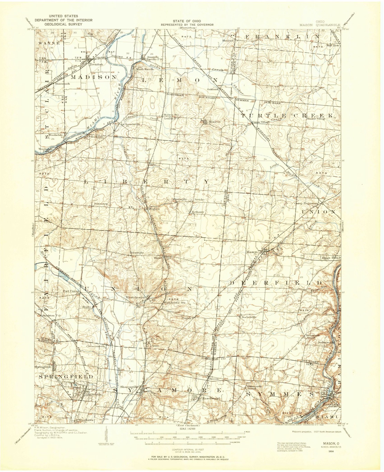
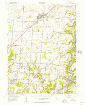
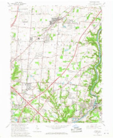
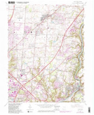
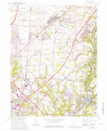
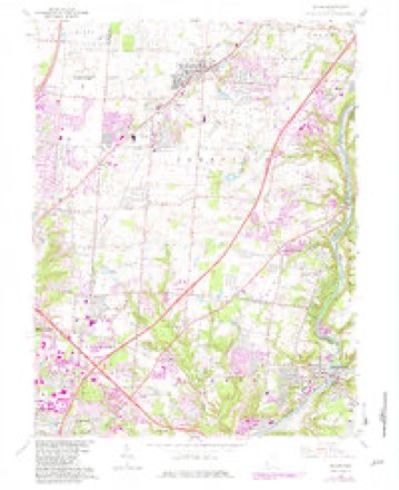
15 topographic sheets cover this place, the earliest surveyed in 1904 and the latest in 1986. It stands in Symmes Township. It lies in ZIP code area 45249. The Survey maps it on the Mason quadrangle.
Then and now
1904 to 1986The same ground, surveyed 82 years apart. Drag the handle to wipe between them. Both sheets are United States Geological Survey originals; neither has been altered.

Topographic sheets covering this place
15 sheetsMatched by testing this settlement's coordinate against the published boundary of every sheet in the United States Geological Survey's historical collection. Each opens the scanned sheet at the Survey.
- 1904 USGS Mason quadrangle1:62500
- 1906 USGS Mason quadrangle1:62500
- 1906 USGS Mason quadrangle1:62500
- 1953 USGS Cincinnati quadrangle1:250000
- 1953 USGS Cincinnati quadrangle1:250000
- 1953 USGS Cincinnati quadrangle1:250000
- 1955 USGS Mason quadrangle1:24000
- 1957 USGS Cincinnati quadrangle1:250000
- 1965 USGS Mason quadrangle1:24000
- 1965 USGS Mason quadrangle1:24000
- 1965 USGS Mason quadrangle1:24000
- 1965 USGS Mason quadrangle1:24000
- 1986 USGS Cincinnati quadrangle1:100000
- 1986 USGS Cincinnati quadrangle1:100000
- 1986 USGS Cincinnati quadrangle1:100000







In the county-history sources
11,290 words on this townshipHistory of Hamilton County, Ohio, with Illustrations and Biographical Sketches, published 1881; 1789 History of Hamilton County Ohio with Illustrations and Biographical Sketches, published 1881 names this settlement in its chapter on Symmes Township. These are the passages that mention it, exactly as the scans read.
Symmes is one of the later and smaller townships. It was created between 1820 and 1826, solely from the eastern part of Sycamore, to which were added two tiers of sections on the west which had formerly belonged to Springfield township. It is bounded on the south by Columbia township, on the west by Sycamore, on the north by Warren county, and on the east by the Little Miami, which follows a tortuous course of nearly twelve miles along the eastern front of Symmes. When about midway of its course here, it deeply indents the township, reducing its width from the extreme breadth of a little more than four miles on a line a short distance north of West Loveland, to a trifle over a mile in the latitude of Remington, about two and one-half miles from the south line of the township. Below this point the width of the township is no where greater than three and a quarter miles on the section line next north of Camp Dennison. The length of the township on the western border and for more than a mile eastvyard is the same as that of Springfield and Sycamore townships - seven miles, dwindling down to nothing in the bends north and south of the great bend of the Miami.
Passage source: History of Hamilton County, Ohio, with Illustrations and Biographical Sketches, published 1881.
Symmes township lies almost wholly in the valley of the Little Miami, and partakes of its general character. At some distance back from the river, however, especially in the northwestern part, the hill country infringes upon the territory of the township, and variegates its topography, and to some extent its capacity of production. It is abundantly watered by several small streams, which mostly take their rise in Warren county and Springfield township, and flow into the Little Miami. Across this river are several fine bridges crossing from Symmes township - as a large iron one at Loveland, and a long bridge above Miamiville. One of the finest bridges in southern Ohio is that between Branch Hill and Symmes' Station - places respectively in Clermont and Hamilton counties, and on the little Miami and Marietta & Cincinnati railroads. It is a suspension bridge three hundred and fifteen feet long, built at the joint expense of the two counties connected by it, and costing seventy thousand dollars. It was formally dedicated and
Passage source: 1789 History of Hamilton County Ohio with Illustrations and Biographical Sketches, published 1881.
village, and two and one-half miles northwest of Symmes station, in this township. A Presbyterian church was organized here very early, sometime before October, 1 80 1, when the Rev. James Kemper was giving one-third of his preaching services to it. A year from that time he was appointed by the presbytery to give his whole time to this and the Duck creek (now Pleasant Ridge) churches for one year. This appointment was renewed in October, 1803, when the name Sycamore was changed to Hopewell. He was invited to the pastorate of the two churches at the expiration of this year, and was installed in the Hopewell church April 4, 1805, the Rev. David Rice, his old Kentucky tutor in theology, preaching the installation sermon. In April, 1807, Mr. Kemper applied for a dissolution of the pastoral relation, against the remonstrance of his people, who declared their financial ability and desire to retain him. He was, however, released from the pastorate in October, and served as stated supply for six months, after which he went into Kentucky and labored there for a season. He was succeeded at Sycamore (or Hopewell), by the Rev. Daniel Hayden, who was ordained and installed at the Duck Creek church, November 17, i8io. He served the Hopewell church until April 8, 181 9, and the other society from that time till his death, August 27, 1835. Some further notice of him has been given in the history of Columbia township.
Passage source: History of Hamilton County, Ohio, with Illustrations and Biographical Sketches, published 1881.
Machine-read from a century-old scan, so expect the errors a machine makes: misspelled names, dropped words, stray characters.
Specimens collected near this place
12 of 2,410 shownRegional context, not property-specific evidence. Museums hold 2,410 specimens collected within 10 miles of Sycamore between 1839 and 1973: 1,684 Fungi, 394 Animalia, 181 Plantae, 146 Protozoa, 3 Unrecorded, 2 Chromista. 12 distinct Species records are shown. Collected by 14753, A. H. W. Povah, A. R. Gaufin and others. Each is a physical object with a catalogue number, and each entry opens the museum's record. This is what was collected and kept, not a survey of what lives here - nothing can be concluded from a species being absent.
| Image | Species | Year | Collected by | Where, as recorded |
|---|---|---|---|---|
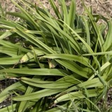 | Melanthium virginicum L. | 1839 | Joseph Clark | Duck Creek, 6 miles from Cincinatti |
 | Fomes applanatus (Pers.) Fr. | 1850 | James D. L. | Loveland |
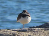 | Charadrius vociferus Linnaeus, 1758 | 1875 | not recorded | LOCNM: Glendale |
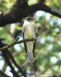 | Contopus virens (Linnaeus, 1766) | 1875 | Porter collection, J.B. | LOCNM: Madisonville |
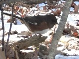 | Pipilo erythrophthalmus (Linnaeus, 1758) | 1875 | Porter collection, J.B. | LOCNM: Madisonville |
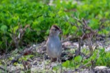 | Zonotrichia leucophrys (J.R.Forster, 1772) | 1875 | Porter, J.B. | LOCNM: Madisonville |
 | Bombycilla cedrorum Vieillot, 1808 | 1876 | Porter collection, J.B. | LOCNM: Glendale |
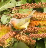 | Leiothlypis ruficapilla (A.Wilson, 1811) | 1876 | Porter collection, J.B. | LOCNM: Madisonville |
| Trichoptera | 1900 | not recorded | Lockland, Miami Canal | |
| Aleurodiscus oakesii (Berk. & M.A.Curtis) Pat. | 1929 | Fulford, Margaret H. | Cincinnati, Hazelwood Preserve | |
| Anomodon attenuatus (Hedw.) Huebener | 1929 | Fulford, Margaret | Madisonville, Martin Road | |
| Berkleasmium concinnum (Berk.) S.Hughes | 1929 | Fulford, Margaret H. | Kroger Hills |
All 2,410 specimens within 10 miles, at the Global Biodiversity Information Facility.
Mines and quarries near this place
2 within 5 milesRegional context, not property-specific evidence. The federal mineral resources record lists 2 workings within 5 miles of Sycamore: 1 past producer, 1 plant. 1 still produces. What was taken out: Sand and Gravel, Construction. Distance is straight-line from the map coordinates, so a quarry counted here may appear on a neighbouring settlement's page as well.
| Where | Site | Commodity | Status | Recorded |
|---|---|---|---|---|
| Camp Dennison Pit | Sand and Gravel, Construction | Past Producer | Sedimentary | |
| Michael Pit | Sand and Gravel, Construction | Plant |
Nearest settlements
The eight closest, with where each one stands in the county. Distances are straight-line, computed from the Geographic Names Information System coordinates.
| Map | Place | Distance | Sheets |
|---|---|---|---|
| Sixteen Mile Stand | 0.9 miles | 15 | |
| Highpoint | 1.8 miles | 15 | |
| Brecon | 2.1 miles | 15 | |
| The Village of Indian Hill | 2.6 miles | 19 | |
| Twightwee | 2.7 miles | 15 | |
| Hazelwood | 2.7 miles | 15 | |
| Symmes | 2.7 miles | 19 | |
| Jones Farm | 2.8 miles | 19 |
Provenance
This settlement is recorded in the Geographic Names Information System as feature 1046913. The sheet list is computed by point-in-boundary test against the United States Geological Survey's historical topographic inventory. Both are works of the United States government and carry no copyright under 17 U.S.C. 105.
Specimens. Global Biodiversity Information Facility (GBIF), https://www.gbif.org/. Only records licensed CC0 or CC BY are used. Records licensed CC BY-NC are excluded because this site carries advertising. Images are checked individually and any whose licence is non-commercial, no-derivatives or unreadable is refused.
Mines and quarries. USGS Mineral Resources Data System (MRDS) https://mrdata.usgs.gov/mrds/ A work of the United States government, no copyright under 17 U.S.C. 105.