 Block
Block
Tuscarawas, Ohio
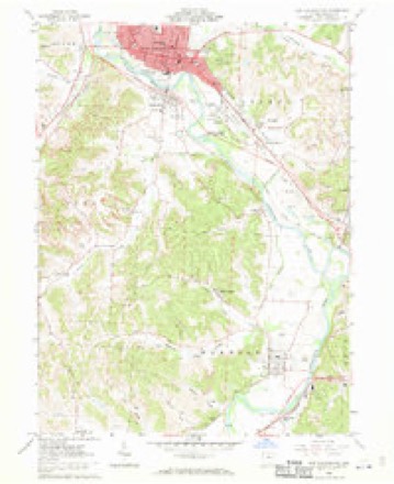
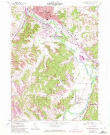
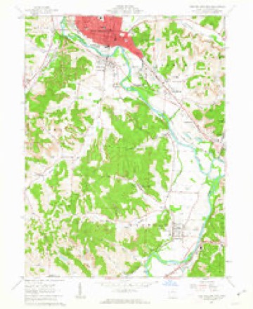
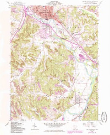
15 topographic sheets cover this place, the earliest surveyed in 1909 and the latest in 1994. It stands in Warwick Township. It lies in ZIP code area 44682. It lies in Sharon Valley. The Survey maps it on the New Philadelphia quadrangle. 1,035 people lived here at the 2020 count. It stands 850 feet above sea level.
Population over time
2 figuresTuscarawas fell from 1,056 to 1,035 between 2010 and 2020. These are the recorded population figures Wikidata holds for this place, reached through the Geographic Names Information System number this page is keyed on rather than by name, so they belong to this place and not to another of the same name. Most are census counts, but not all are: an early figure may be a founding or settlement estimate. The change column is computed, and is left blank where more than 20 years separate a figure from the one before it, because a gap that long is not a change between two counts.
| Year | People | Change |
|---|---|---|
| 2010 | 1,056 | |
| 2020 | 1,035 | -21 (-2%) |
Then and now
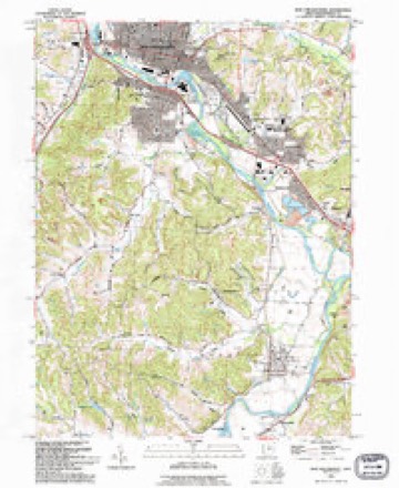
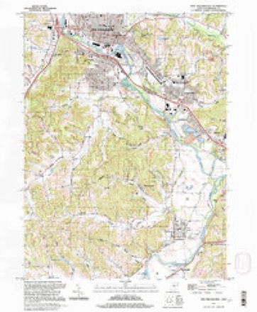
1909 to 1994The same ground, surveyed 85 years apart. Drag the handle to wipe between them. Both sheets are United States Geological Survey originals; neither has been altered.
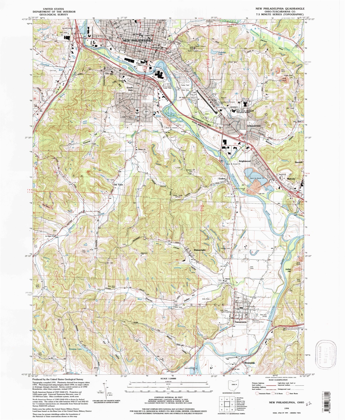
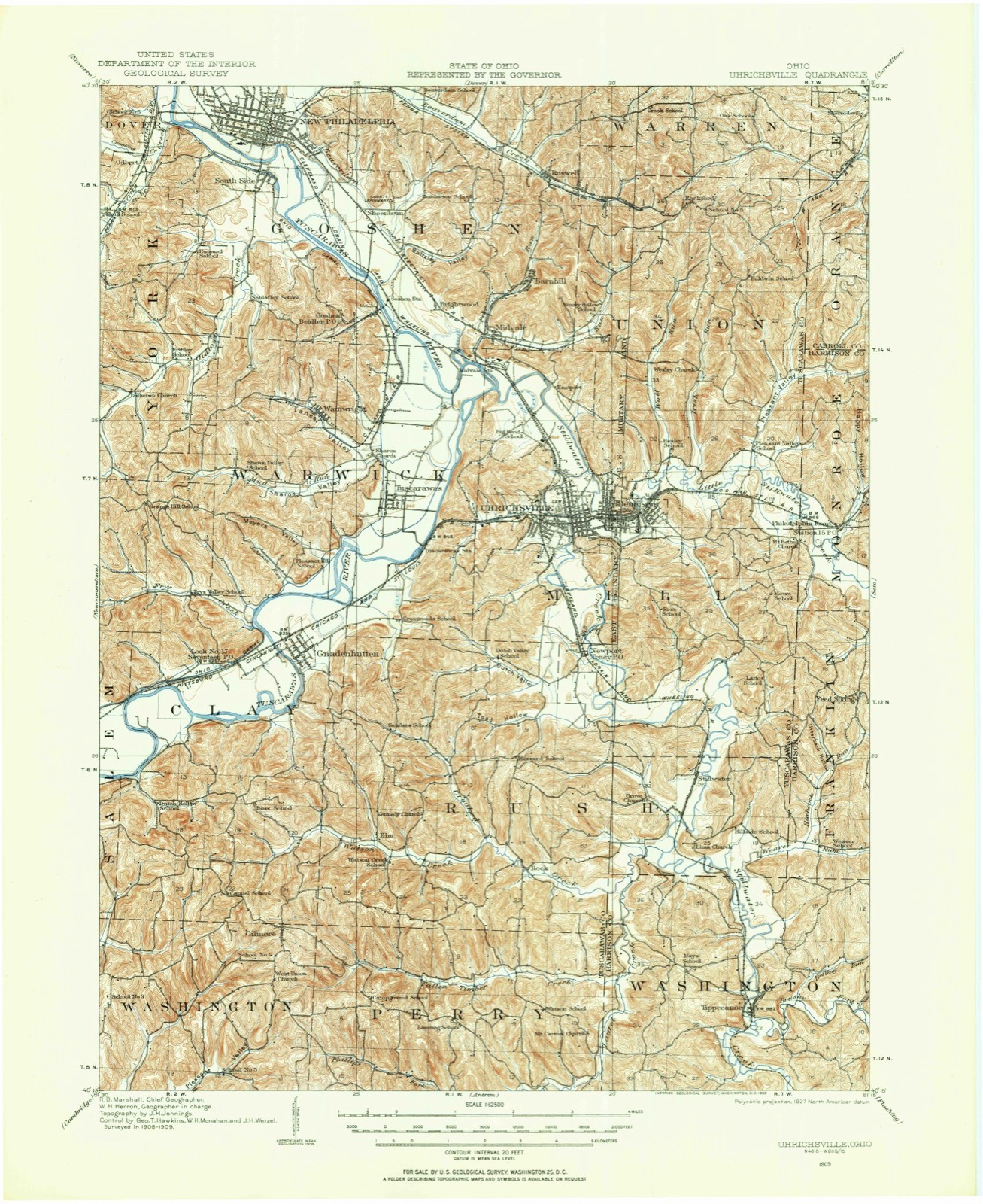
Topographic sheets covering this place
15 sheetsMatched by testing this settlement's coordinate against the published boundary of every sheet in the United States Geological Survey's historical collection. Each opens the scanned sheet at the Survey.
- 1909 USGS Uhrichsville quadrangle1:62500
- 1911 USGS Uhrichsville quadrangle1:62500
- 1951 USGS Canton quadrangle1:250000
- 1953 USGS Canton quadrangle1:250000
- 1957 USGS Canton quadrangle1:250000
- 1957 USGS Canton quadrangle1:250000
- 1957 USGS Canton quadrangle1:250000
- 1962 USGS Canton quadrangle1:250000
- 1962 USGS Canton quadrangle1:250000
- 1962 USGS New Philadelphia quadrangle1:24000
- 1962 USGS New Philadelphia quadrangle1:24000
- 1962 USGS New Philadelphia quadrangle1:24000
- 1962 USGS New Philadephia quadrangle1:24000
- 1993 USGS New Philadephia quadrangle1:24000
- 1994 USGS New Philadephia quadrangle1:24000







In the county-history sources
3,263 words on this townshipThe History of Tuscarawas County, Ohio, published 1884 names this settlement in its chapter on Warwick Township. These are the passages that mention it, exactly as the scans read.
Almost the entire eastern half of Warwick lies in the broad valley of the Tuscarawas, and its land in fertility will compare with the famed bottoms of the Miami. The plains in this portion of the valley were densely timbered when the pioneers arrived. In clearing this land for cultivation, it was customary to fell and burn all timber a foot or under in diameter, and to deaden the larger trees by cutting the bark. The western part of the township is broken and the soil argillaceous. These hills are underlaid with a fine quality of coal in four-foot veins, and large quantities have been mined and shipped via the Ohio Canal, which crosses the eastern part of the township. Two railroads cross the township; the Cleveland, Lorain & Wheeling passes through the northeast corner, and the Pittsburgh, Cincinnati & St. Louis fol lows the course of the river in the southeast.
Passage source: The History of Tuscarawas County, Ohio, published 1884.
The southeast portion of Warwick comprises the third quarter of Township 7, Range 1, patented by John Hecke welder March 28, 1800. His earliest sales from this 4,000-acre tract were as follows: December 10, 1800, to Charles Colver, of Hanover Township, Northampton Co., Penn., 777 acres, consideration, $777; December 19, 1800, to Nathaniel Colver, yeoman, of Newton Township, Washington Co., Northwest Territory (the land of Tuscarawas
Passage source: The History of Tuscarawas County, Ohio, published 1884.
It is a large two-story brick edifice, doubtless the largest country sanctuary in Tuscarawas County. It is surrounded by tall, spreading trees, and in the rear is a graveyard, where the remains of many pioneers and their posterity repose. For a long time after its organization, Sharon was supplied with ministers from Gnadenhutten. Since the erection of the present house of worship, the pastors of Sharon have been Revs. F. R. Holland until 1858; E. M. Leibert for a short time, then H. T. Bachman, D. Z. Smith, E. A. Oerter and J. J. Ricksecker successively. The last named has had charge of the congregation since 1875. The total membership of the church is now 315; of these, 190 are communicant members.
Passage source: The History of Tuscarawas County, Ohio, published 1884.
Machine-read from a century-old scan, so expect the errors a machine makes: misspelled names, dropped words, stray characters.
Read the whole chapter on Warwick Township - it names this place 1 more 1 time.
Photographs
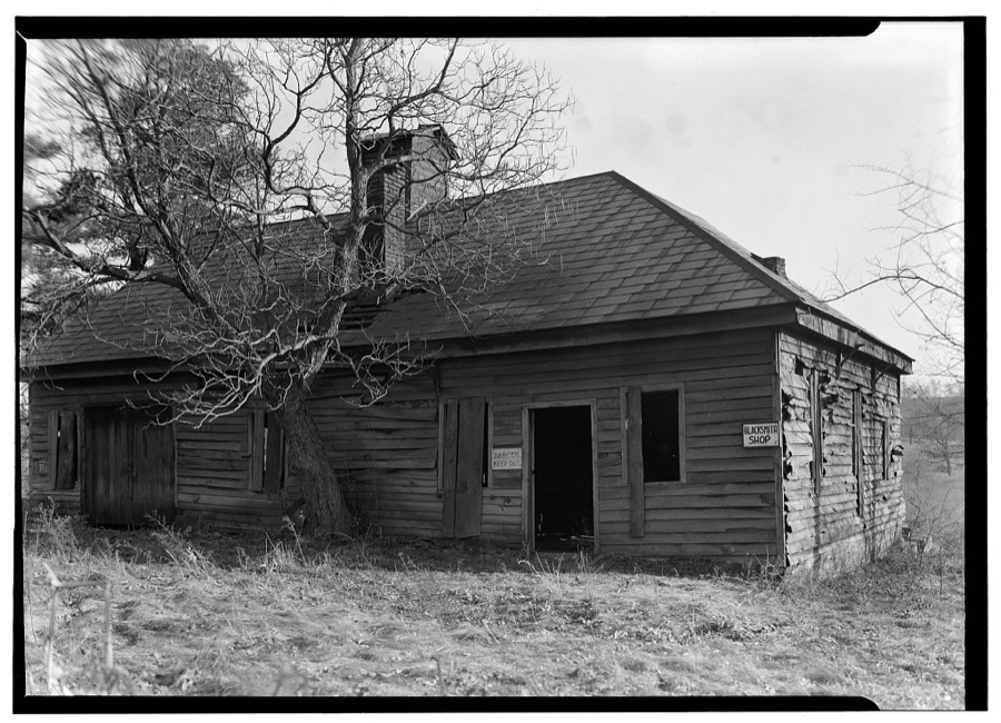
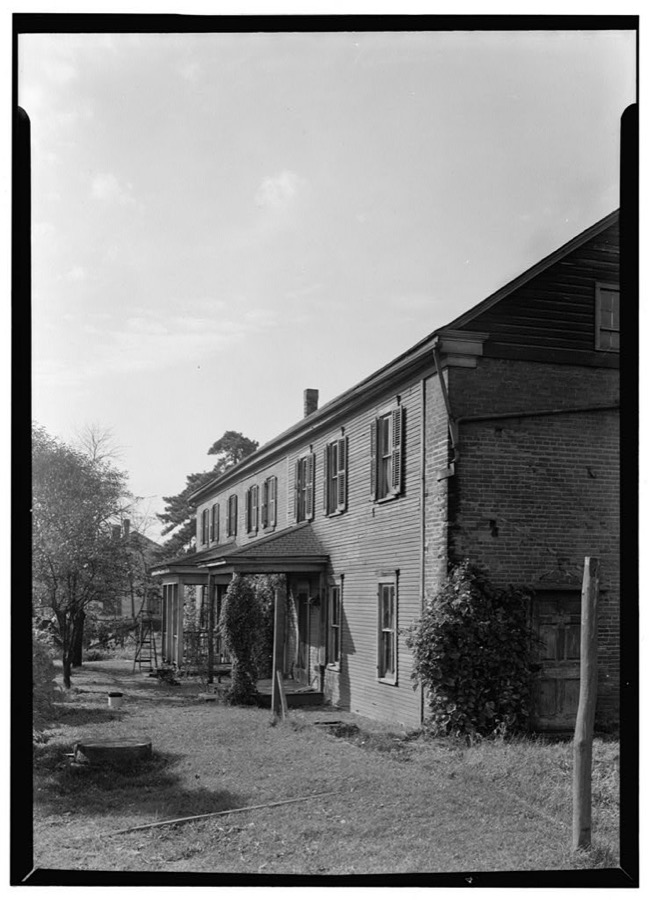
8 photographs,Taken for the Office of War Information and the Farm Security Administration, who photographed the country between 1935 and 1944. Works of United States government photographers, with no known restriction on use. Each opens its catalogue record.
Unattributed, . Library of Congress
Unattributed, . Library of Congress
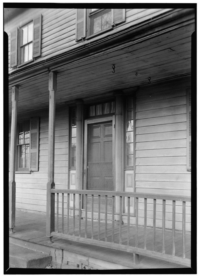
Unattributed, . Library of Congress
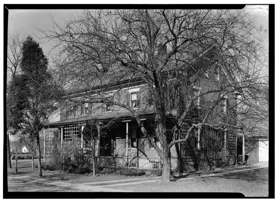
Unattributed, . Library of Congress
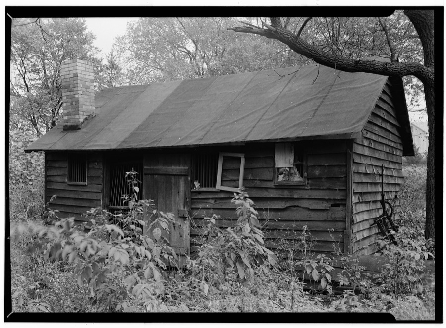
Unattributed, . Library of Congress
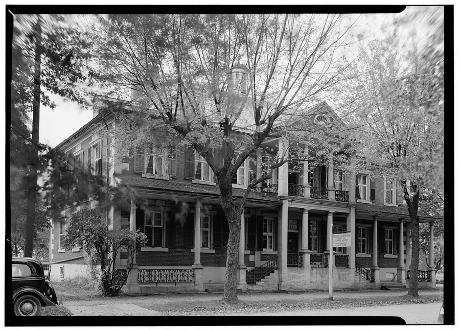
Unattributed, . Library of Congress
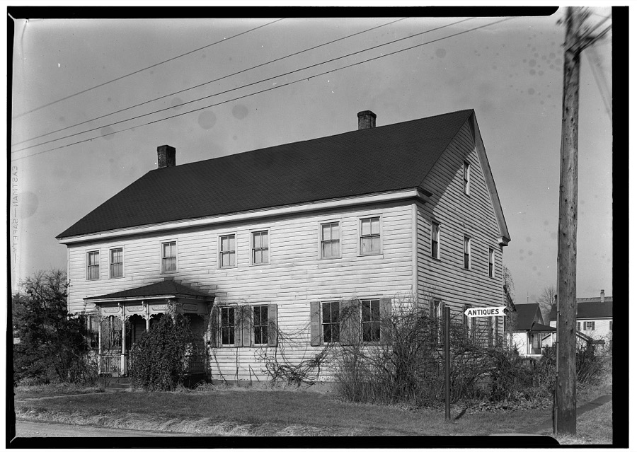
Unattributed, . Library of Congress
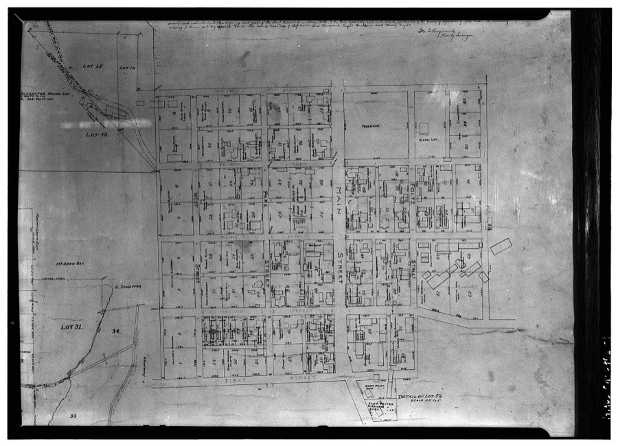
Unattributed, . Library of Congress
Fires near this place
27 since 2005Regional context, not property-specific evidence. The federal wildfire occurrence database lists 27 fires within 5 miles of Tuscarawas between 2005 and 2020, burning about 32 acres in total. None started naturally. None was recorded as arson. Distance is straight-line from the map coordinates, so a fire counted here may appear on a neighbouring settlement's page as well.
| Reported cause | Fires |
|---|---|
| Debris and open burning | 17 |
| Missing data/not specified/undetermined | 6 |
| Power generation/transmission/distribution | 2 |
| Misuse of fire by a minor | 1 |
| Equipment and vehicle use | 1 |
The most recent of them, most recent first, with the day each was reported and the service that recorded it.
| Date | Cause | Size | Reported by | Name on the report |
|---|---|---|---|---|
| 7 August 2016 | Debris and open burning | 1.0 acres | Ohio Department of Natural Resources | 5305 |
| 9 July 2020 | Debris and open burning | under an acre | Ohio Department of Natural Resources | 15776 |
| 3 May 2015 | Debris and open burning | 1.8 acres | Ohio Department of Natural Resources | 1142 |
| 20 May 2016 | Debris and open burning | under an acre | Ohio Department of Natural Resources | 4905 |
| 9 April 2013 | Debris and open burning | under an acre | Ohio Department of Natural Resources | not named |
| 3 April 2020 | Power generation/transmission/distribution | 1.0 acres | Ohio Department of Natural Resources | 15602 |
| 3 April 2020 | Missing data/not specified/undetermined | 1.0 acres | Ohio Department of Natural Resources | 15599 |
| 17 April 2005 | Misuse of fire by a minor | 1.0 acres | Ohio Department of Natural Resources | not named |
Settlements close enough to share some of these fires:
Specimens collected near this place
12 of 534 shownRegional context, not property-specific evidence. Museums hold 534 specimens collected within 10 miles of Tuscarawas between 1851 and 1973: 397 Animalia, 94 Plantae, 41 Fungi, 2 Unrecorded. 12 distinct Species records are shown. Collected by A. Cobula, A. Perry, Allen, John and others. Each is a physical object with a catalogue number, and each entry opens the museum's record. This is what was collected and kept, not a survey of what lives here - nothing can be concluded from a species being absent.
| Image | Species | Year | Collected by | Where, as recorded |
|---|---|---|---|---|
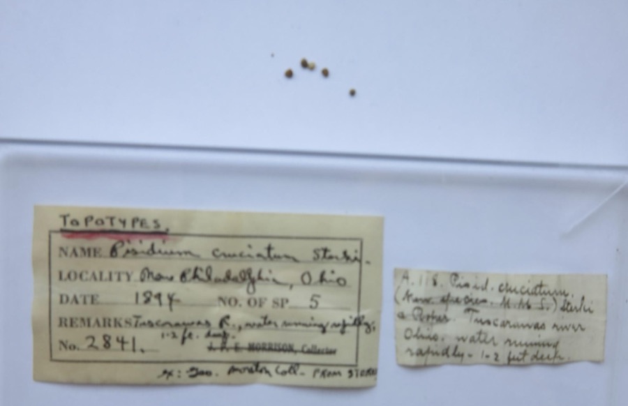 | Pisidium cruciatum Sterki, 1895 | 1894 | G. Marston | Tuscarawas River, New Philadelphia |
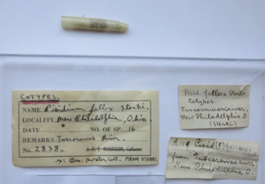 | Pisidium fallax Sterki, 1896 | 1894 | G. Marston | Tuscarawas River, New Philadelphia |
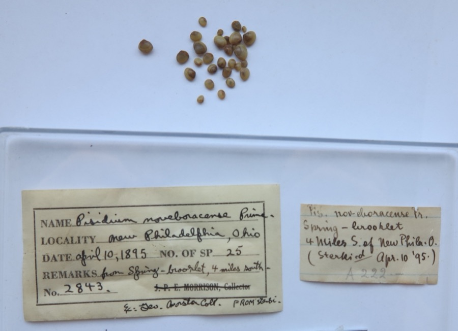 | Pisidium noveboracense Prime, 1858 | 1895 | G. Marston | from spring - brook lat. 4 miles south of New Philadelpia (Sterki) |
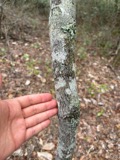 | Amelanchier arborea (F.Michx.) Fernald | 1851 | Wolle, J. | Canoe Down [Canal Dover] |
 | Anemone canadensis L. | 1851 | Wolle, J. | Canoe Down [Canal Dover] |
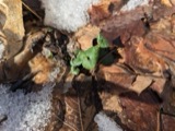 | Cardamine douglassii Britton | 1851 | Wolle, J. | Canae Docus [??] [Canal Dover] |
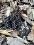 | Conopholis americana (L.) Wallr. | 1851 | Wolle, J. | Canoe Down [Canal Dover?] |
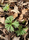 | Delphinium tricorne Michx. | 1851 | Wolle, J. | Canoe Down [Canal Dover] |
 | Erythronium americanum Ker Gawl. | 1851 | Wolle, J. | Canal Dover |
 | Hydrophyllum appendiculatum Michx. | 1851 | Wolle, J. | Tuscarawa City |
 | Hydrophyllum virginianum L. | 1851 | Wolle, J. | Canoe Down [Canal Dover] |
 | Silene virginica L. | 1851 | Wolle, J. | Canal Downs [Canal Dover] |
All 534 specimens within 10 miles, at the Global Biodiversity Information Facility.
Mines and quarries near this place
10 of 15 shownRegional context, not property-specific evidence. The federal mineral resources record lists 15 workings within 5 miles of Tuscarawas: 9 past producers, 6 producers. 6 still produce. What was taken out: Clay, Sand and Gravel, Construction, Stone, Crushed/Broken, Clay, Coal, Coal. Distance is straight-line from the map coordinates, so a quarry counted here may appear on a neighbouring settlement's page as well.
| Where | Site | Commodity | Status | Recorded |
|---|---|---|---|---|
| Arrow Head Pit | Clay, Coal | Producer | ||
| Plant Number 5 | Fire Clay (Refractory) | Past Producer | ||
| Urichsville Pit | Stone, Crushed/Broken, Clay, Coal | Producer | ||
| Midvale Pit | Sand and Gravel, Construction | Past Producer | ||
| Spring Pit | Sand and Gravel, Construction | Producer | ||
| Stewart and Reichman Pit | Sand and Gravel, Construction | Producer | ||
| Stocker Sand and Gravel Pit | Sand and Gravel, Construction | Producer | ||
| Can-Tex Pit Number 1 | Clay | Past Producer | ||
| Evans Clay Products, Inc. Mill | Clay | Past Producer | ||
| Evans Farm Pit | Clay | Producer |
Storms near this place
6 since 1998Regional context, not property-specific evidence. The National Weather Service names Tuscarawas in 6 storm reports between 1998 and 2024: 3 hail, 3 thunderstorm wind. No death or injury is recorded in these reports. Each account below is quoted exactly as the forecast office filed it, from the NOAA Storm Events Database, and each date opens the federal record of that event.
| When | Event | Place named | Harm | What the report says |
|---|---|---|---|---|
| November 2013 | Thunderstorm Wind | Tuscarawas | $25,000 | Law enforcement reported trees down. |
| December 2013 | Thunderstorm Wind | Tuscarawas | $1,000 | Local law enforcement reported scattered trees down, including five large trees. |
| June 2024 | Thunderstorm Wind | Tuscarawas | - | Trees down on Indian hill road. |
| June 2023 | Hail | Tuscarawas | - | Half dollar hail reported. |
| August 2018 | Hail | Tuscarawas | - | A trained spotter reported hail. |
| August 1998 | Hail | Tuscarawas | - | no account filed |
Nearest settlements
The eight closest, with where each one stands in the county. Distances are straight-line, computed from the Geographic Names Information System coordinates.
| Map | Place | Distance | Sheets |
|---|---|---|---|
| Riverside Park | 1.1 miles | 15 | |
| Wainwright | 2.0 miles | 15 | |
| Gnadenhutten | 2.9 miles | 15 | |
| Three Legs Town (historical) | 3.0 miles | 16 | |
| Roanoake | 3.1 miles | 16 | |
| Yankeetown (historical) | 3.2 miles | 15 | |
| Uhrichsville | 3.2 miles | 16 | |
| Royal Lane Park | 3.2 miles | 15 |
Elsewhere
Matched on this settlement's Geographic Names Information System number rather than its name, so it cannot be a different place of the same name in another state.
| Wikipedia article on Tuscarawas | An encyclopaedic summary. Its text is share-alike, so it is linked here rather than copied. |
| Wikidata item Q2154845 | The structured record the population and elevation above come from. Public domain (CC0). |
Provenance
This settlement is recorded in the Geographic Names Information System as feature 1061714. The sheet list is computed by point-in-boundary test against the United States Geological Survey's historical topographic inventory. Both are works of the United States government and carry no copyright under 17 U.S.C. 105.
Wildfire. Short, Karen C. 2022. Spatial wildfire occurrence data for the United States, 1992-2020 [FPA_FOD_20221014]. 6th Edition. Fort Collins, CO: Forest Service Research Data Archive. https://doi.org/10.2737/RDS-2013-0009.6 Collected with United States Government funding and usable without additional permissions or fees.
Specimens. Global Biodiversity Information Facility (GBIF), https://www.gbif.org/. Only records licensed CC0 or CC BY are used. Records licensed CC BY-NC are excluded because this site carries advertising. Images are checked individually and any whose licence is non-commercial, no-derivatives or unreadable is refused.
Mines and quarries. USGS Mineral Resources Data System (MRDS) https://mrdata.usgs.gov/mrds/ A work of the United States government, no copyright under 17 U.S.C. 105.
Storms. NOAA National Centers for Environmental Information, Storm Events Database https://www.ncei.noaa.gov/stormevents/ A work of the United States government, no copyright under 17 U.S.C. 105. Narratives are quoted verbatim from the National Weather Service report and are not edited or summarised.